![]()

Remember: Press F11 for a full
screen view of this page.
|
|
|
Remember: Press F11 for a full
screen view of this page. |
| " Whiteout on Whiteside." Date & start time: day January 2014, 11 am start. Location of Start : lanthwaite Green car park, Loweswater , Cumbria, Uk ( NY 159 208 ) Places visited : Up Whin Benn, Whiteside summit and back down to the car. Walk details : 2.75 mls, 1785 ft of ascent, 1 hours 55 mins. Highest point : Whiteside 2,317ft - 707m. Walked with : Myself and our dog, Harry. Weather : Reasonable in the valley, but cooler and windier as I climbed. |
" Whiteout on Whiteside." at EveryTrail [ Alter the settings to zoom or change the Map, use Everytrail to download the Gps route ] |
|
What started out as an idea to climb Whin Ben to give Harry a walk, ended up with a quick ascent of Whiteside to check out the overnight snow. A small pack with a biscuit or two, a pair of gloves, trek pole and microspikes was all the extra that was needed.
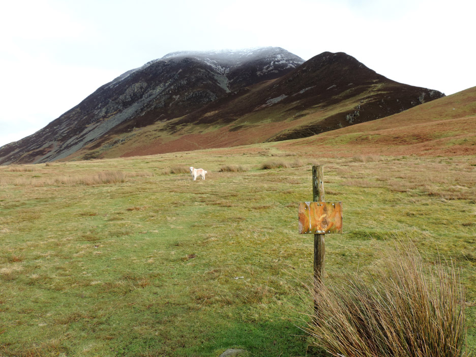
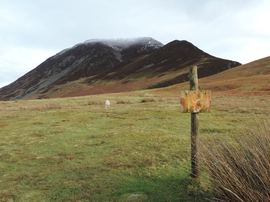
The sign has a brown side but the fell ahead is named after the grey stones that line its flanks. Today, after overnight hill snow, the normally "grey side" is definitely Whiteside.
The walk started at Lanthwaite Green, using the car park that is thankfully still free. Rumour has it they may be thinking of charging for parking but that will only encourage people to park on the verge. Let's hope the National Trust see sense . . . that's local politics for you !
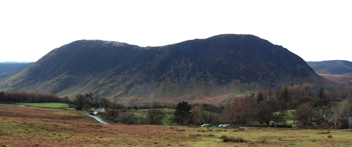
Looking around, as you do . . . Lanthwaite Hill ( sometimes know as Scale Hill or Brackenthwaite Hows) is in front of Low Fell, seen above the new Lanthwaite House.
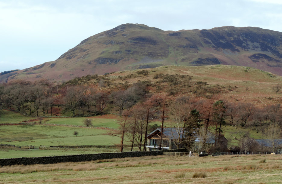
It was a nice morning in the valley, no great sunshine but definitely okay. Overnight rain had been persistent but with the nature of the Lakes, it drains away reasonably quickly. There's a slight change of colour on the highest part of Blake Fell in the distance . . . that will be overnight hill snow.
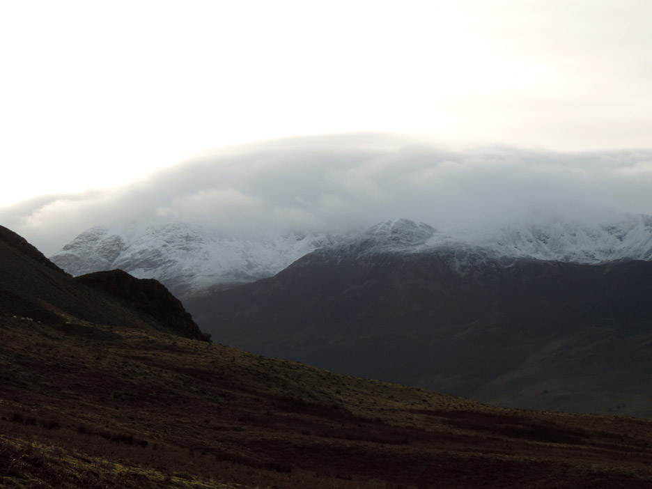
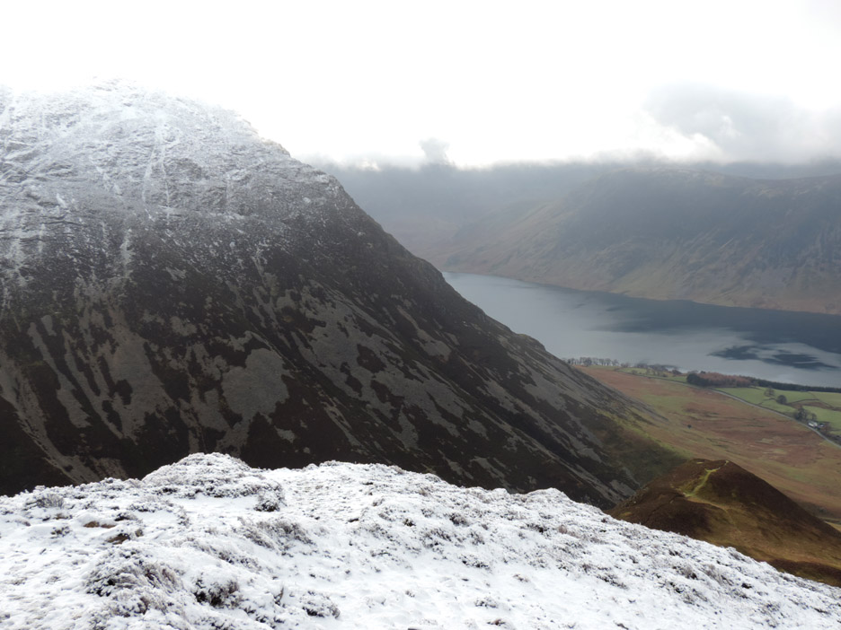
However on the high fells it is a different story . . . this is the High Stile Ridge alongside Crummock and the heavy snow cover is still shrouded with a blanket of cold looking cloud.
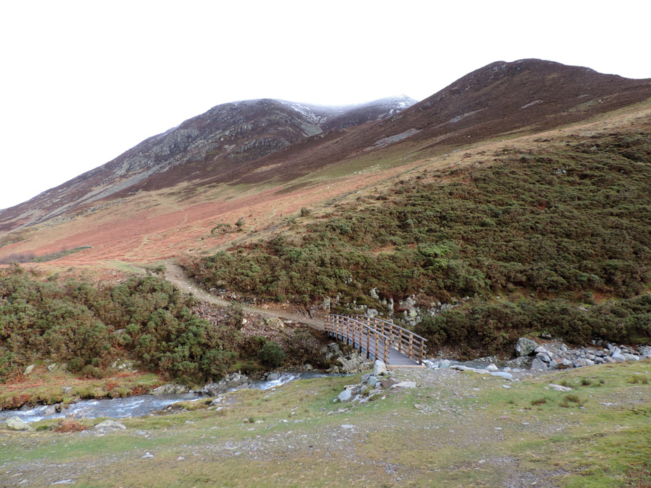
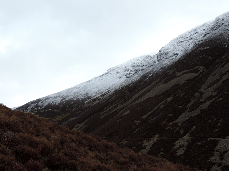
Ahead, Whiteside is also topped with white as we walk over to the Gasgale Gill bridge.
Time for a photo, and a breather . . . the first part of Whin Benn is always steeper than you think !
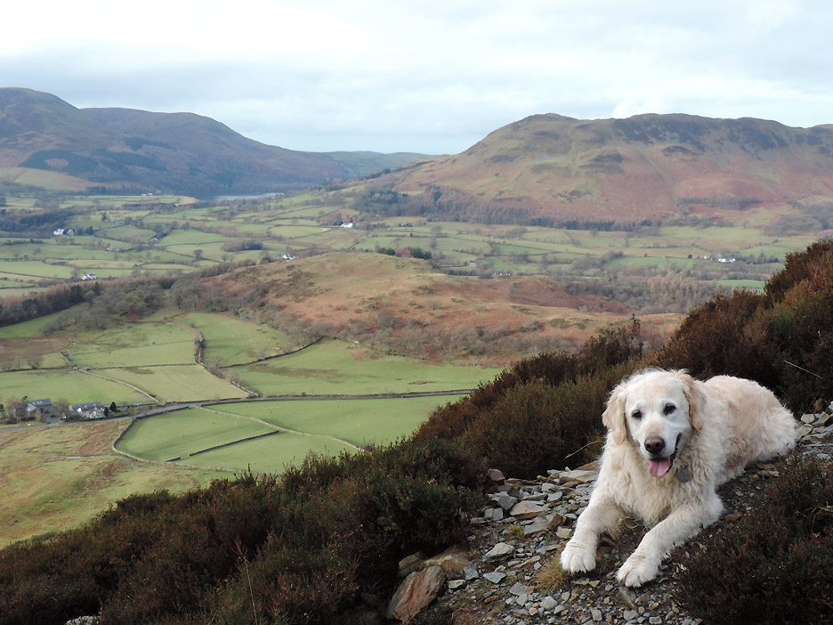
The summit of Whin Ben . . . we are clear for a summit attempt . . . okay Harry ?
Dove Crag Arête An easy and interesting ascent of Grasmoor but that notch half way up can be difficult in the wet as it is very slippery.
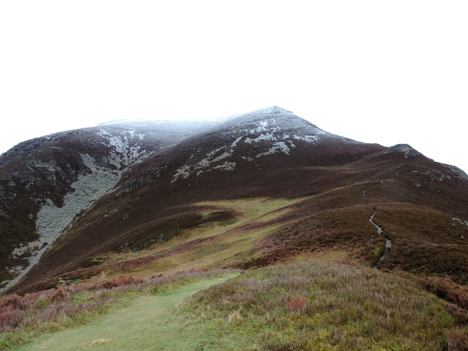
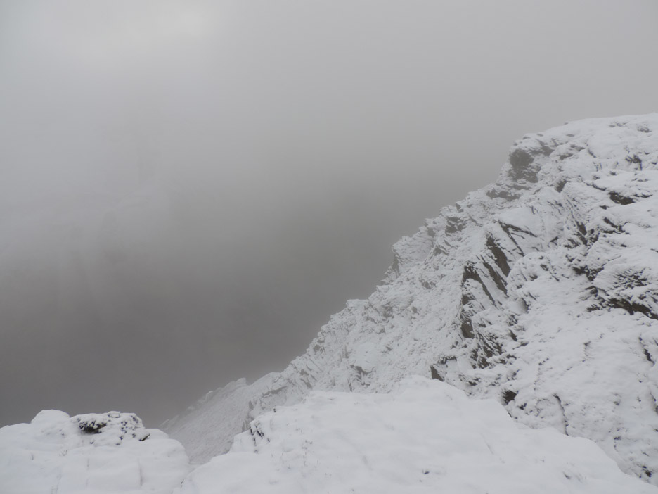
Onto the steepest part of this climb now, with views down into Gasgale Gill Valley. The snow on the top of Hopegill Head blends into the sky due to the cloud cover.
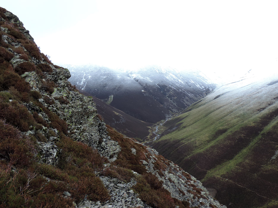
Take care crossing the exposed rock sections . . . up ahead lies the start of the snow.
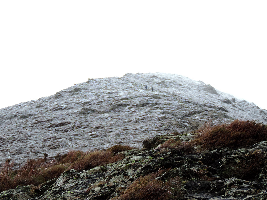
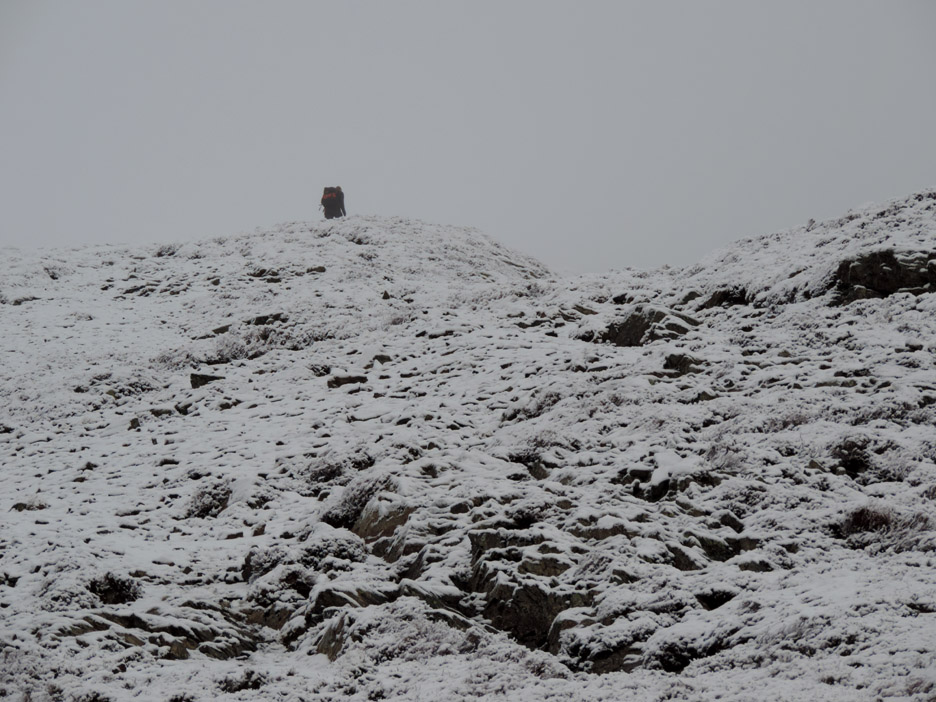
The eagle-eyed amongst you will have spotted two people up ahead in the last photo.
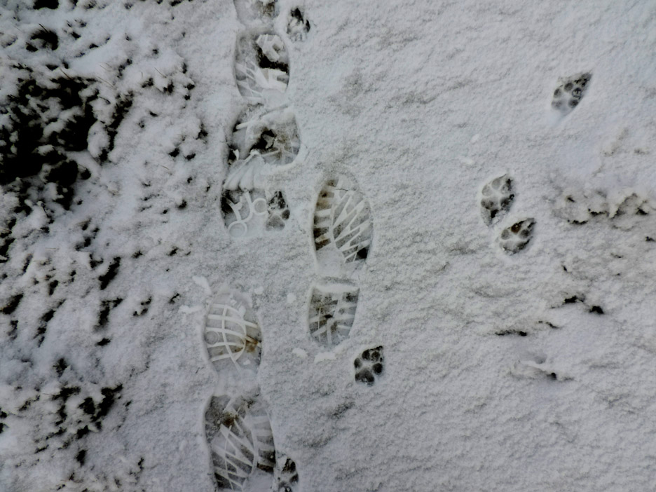
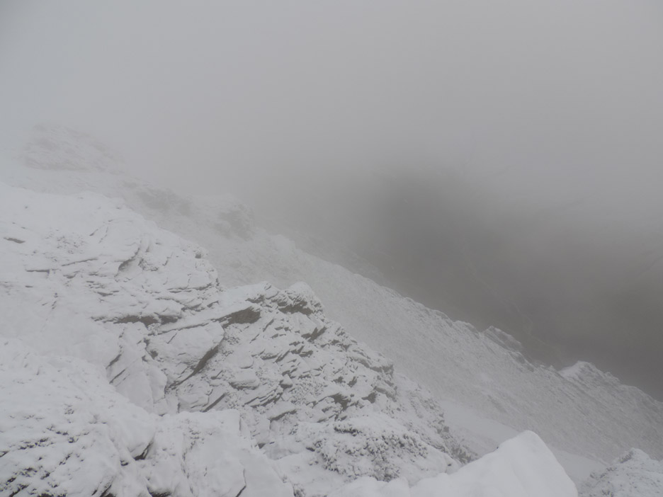
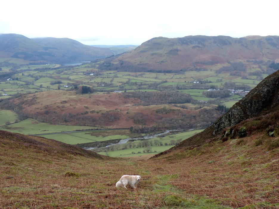
We're above the snow line now and I look back to check Harry is coping okay . . . no problem as ever.
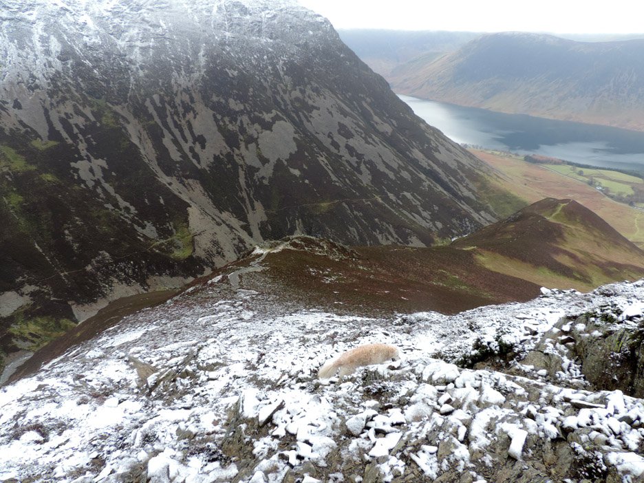
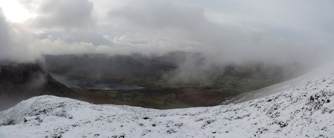
Time for a quick panorama . . . as I'm sure I'll not get one from the summit. I'm looking back down to Crummock Water on the left here . . . and our house somewhere over there on the right.
It seems those two people ahead have a dog too.
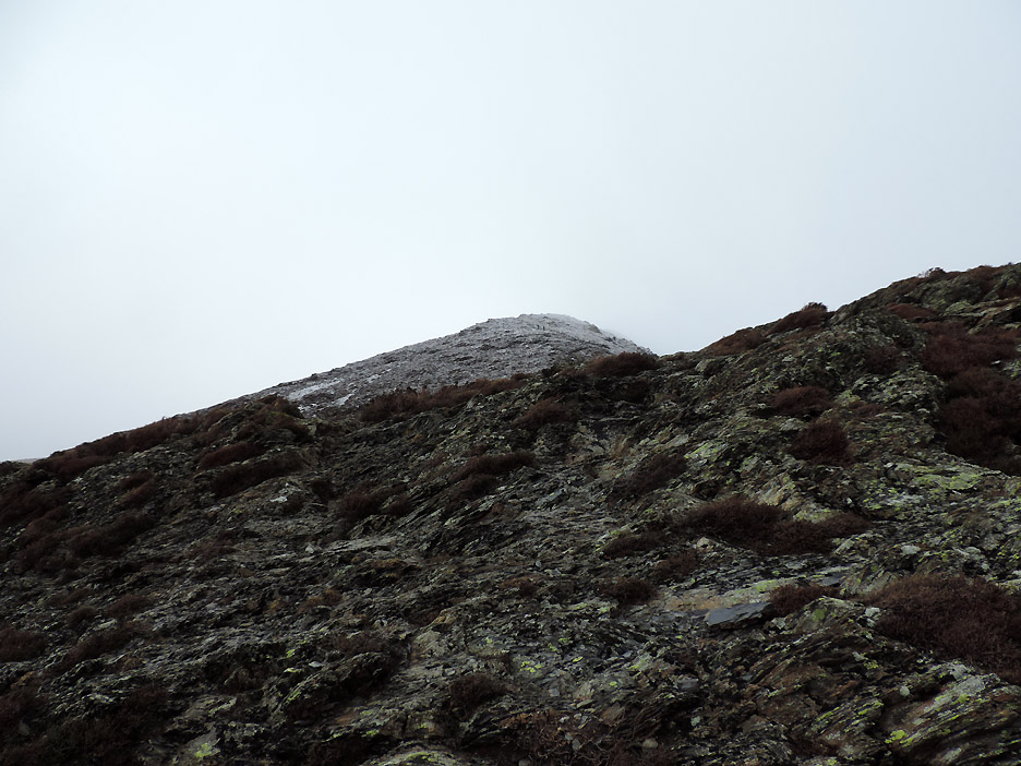
Mmmm . . . having been here before I know that the summit rocks are the first peak you get to. Look carefully and you can see them . . . honest !
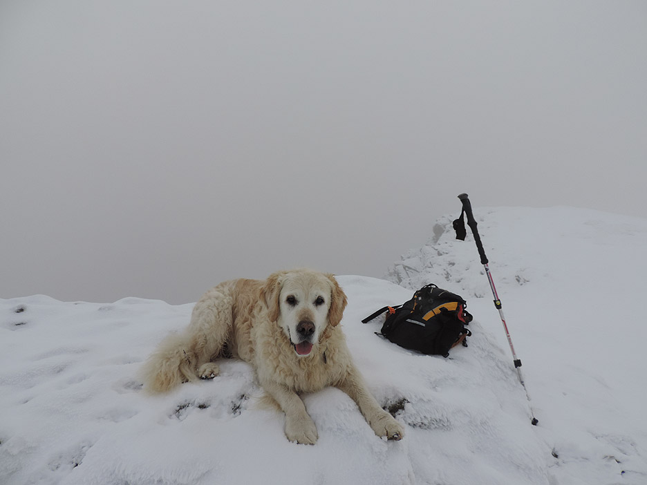
Sherpa Tenzing reaches the top of world . . . for today anyway.
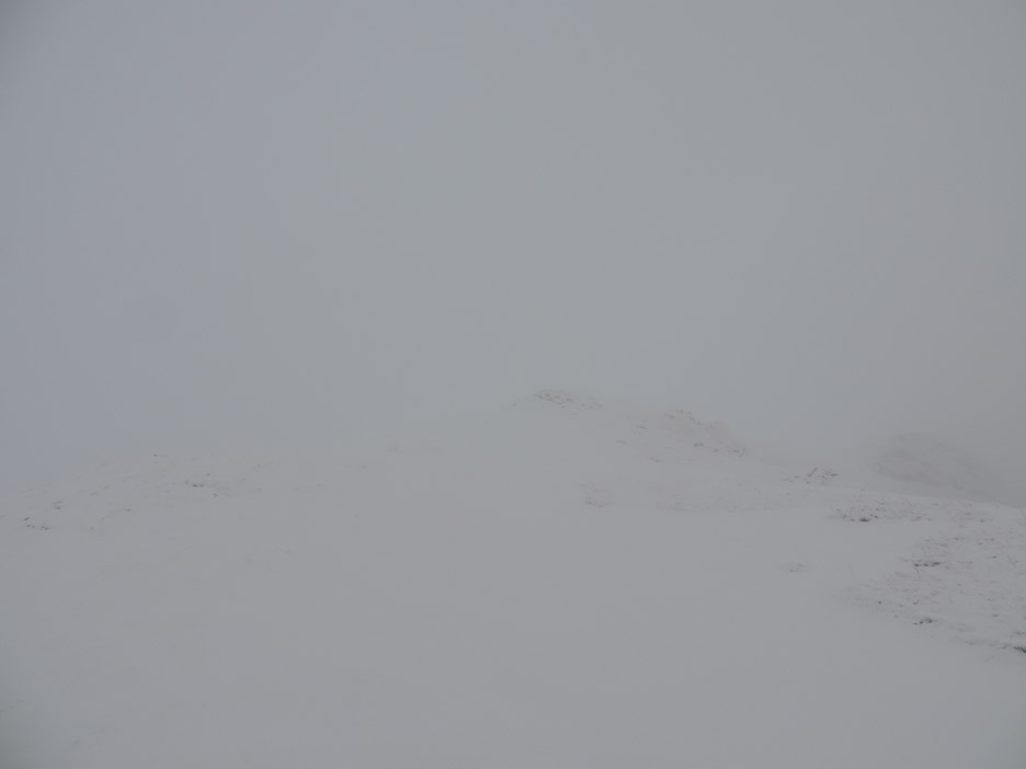
Time for a careful look around, not than we can see much !
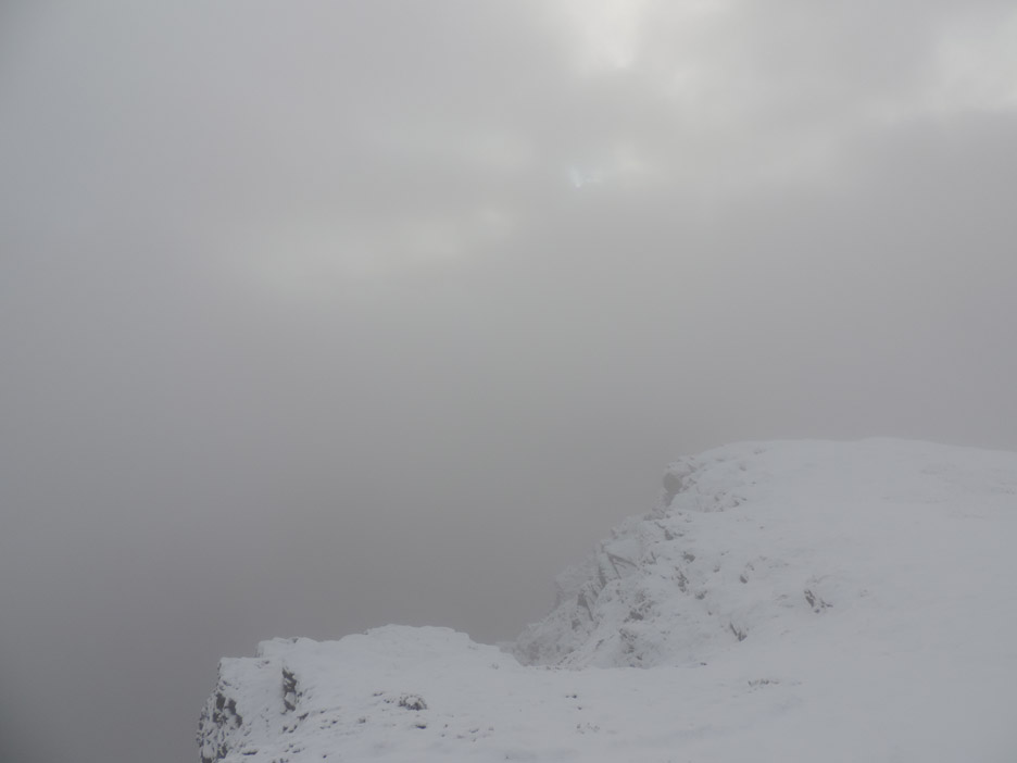
Looking down into Gasgale Valley in the direction of Coledale Hause.
An occasional brighter interval as the clouds swirl around the top. Time for a biscuit each before we return to the valley.
As well as the two walkers ahead, I did meet another lady who was looking forward to the ridge walk to Hopegill Head and back down the valley. " Nice to be out in a bit of snow for a change" she said. Beats the wet conditions of late, that's for certain.
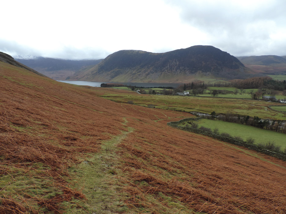
For the descent I took advantage of my Microspikes to aid traction.
On the short wet grass they stayed on my feet which gave me extra confidence to move a little faster. We chose the grass descent (the right of way green path) rather than our Whin Ben (black dotted path) ascent route.
The microspikes stayed on virtually all the way back to the car. It took an hour and a quarter to climb up but had taken just about half an hour to descend back down to the bridge.
Back at that old wooden sign . . . I think this is where we came in. - - - o o o - - - |
Technical note: Pictures taken with either Ann's Canon Sureshot SX220, or my Nikon P520 digital camera. Resized in Photoshop, and built up on a Dreamweaver web builder. This site best viewed with . . . a dash of white under the feet. Go to Top . . . © RmH . . . Email me here Previous walk - 13th January 2014 - Rannerdale on Harry's Birthday A previous time up here - Saturday 10th Sept 2011 Five go to Whiteside Next walk - 25th January 2014 - Local and Locals
|