![]()

Remember: Press F11 for a full
screen view of this page.
|
|
|
Remember: Press F11 for a full
screen view of this page. |
| " Souther Fell with Jo " Date & start time: Saturday 21st September 2013, 12.20 pm start. Location of Start : Roadside on the back road above Scales, Cumbria, Uk ( NY 349 272 ) Places visited : Mousthwaite Comb, Souther Fell, Glendermackin Valley, White Horse Bent. Walk details : 5.25 mls, 1500 ft of ascent, 4 hours 25 mins. Highest point : Souther Fell summit 1,712ft - 522m. Walked with : Jo, Ann and the dogs, Jodie, Amber, Harry and Bethan. Weather : Overcast with low cloud on the tops but no rain. Sunshine late on. |
" Souther Fell with Jo " at EveryTrail [ Alter the settings to zoom or change the Map, use Everytrail to download the Gps route ] |
|
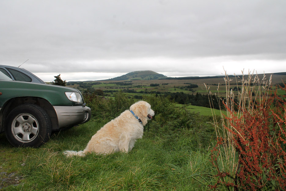
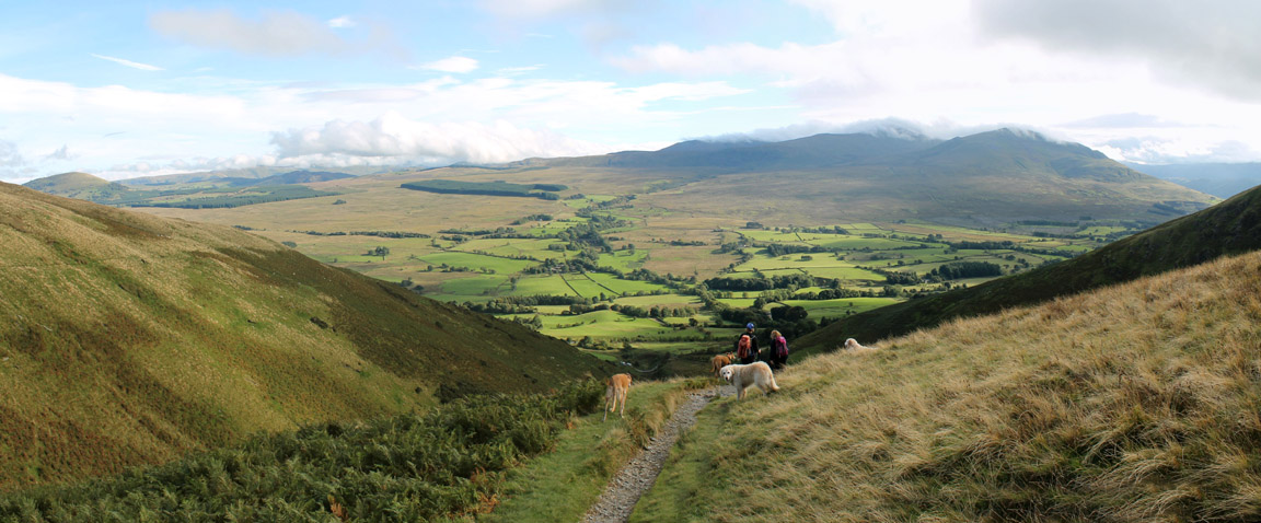
The weather was poor today and the forecast not much better but they predicted better weather in the north and east of the Park so we head off to Souther Fell alongside Blencathra and meet Jo at Mousthwaite Combe.
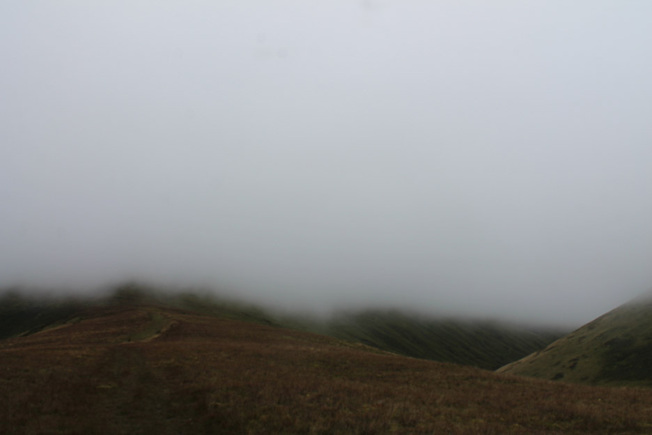
Dark enough for the camera to feel it should add a little flash to lighten up the photo. It couldn't do much about the cloud base which was currently just touching the top of Great Mell Fell across the way.
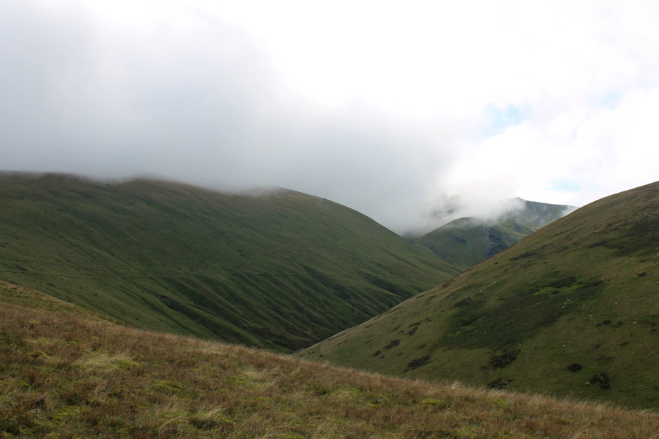
It promises a reasonable day but everything was a little bland. All the shapes of the Helvellyn Range were lost to the low cloud . . . still think positive . . . it's not raining !
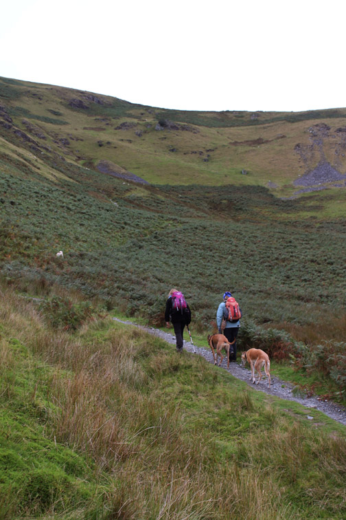
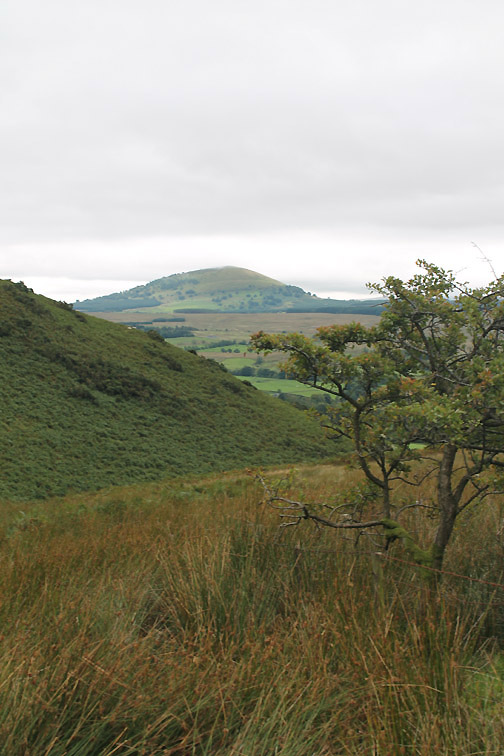
Which way shall we go ? The upper Glendermackin valley didn't look inviting so we stuck to Plan A . . . Souther Fell.
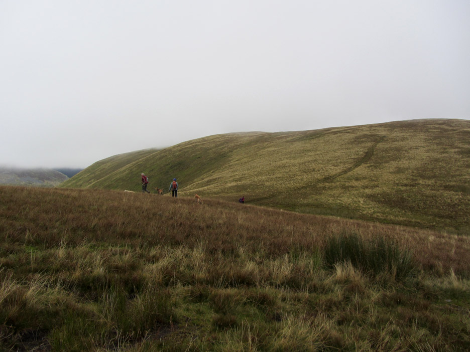
That should be reasonably clear . . . at least we hope so by the time we climb the gentle slope to the summit.
The first cairn and landmark that you reach on the journey to the top.
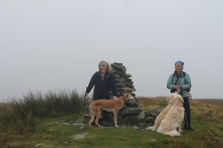
Just beyond the ground is higher with the suggestion of a summit tarn. I wonder why that prominent cairn is sited where it is ?
The true summit of course is ten meters higher and four-tenths of a mile further on. At least it has a token cairn . . . none of my doing this time.
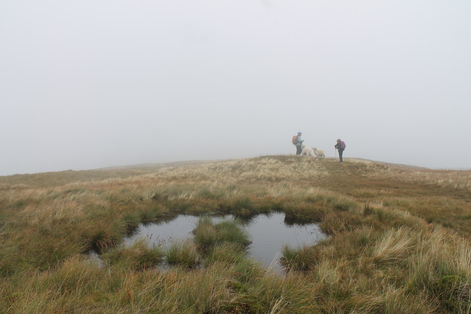
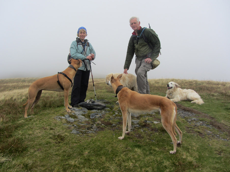
No point of having lunch on the summit . . . it was a bit windy and surrounded by cloud so we continued north until we found a comfortable rock with a view. Time for lunch and enjoy the mist as it rises and falls . . . the views as they appear and disappear.
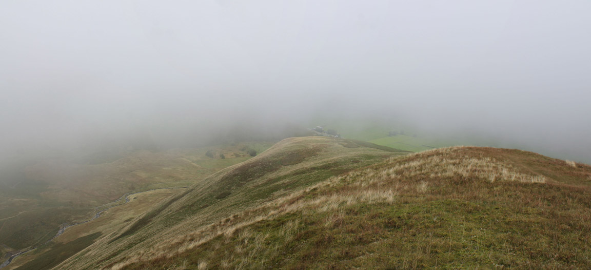
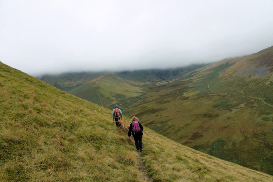
Rather than walk along to the northern end where a path off is still a problem, we did what we've done before and took a left following a bit of a sheep track over to the northern edge.
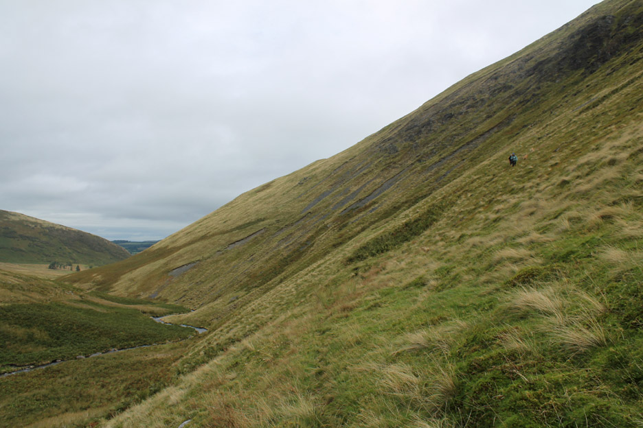
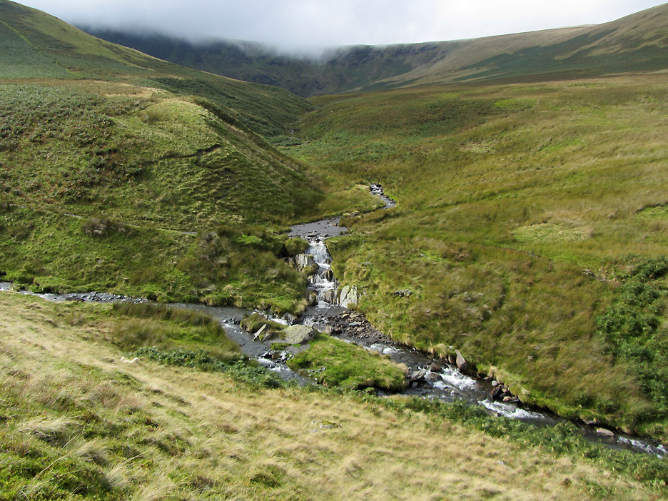
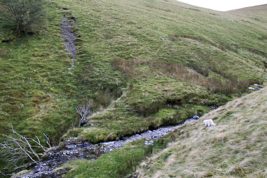
By contouring across the slope we descended to the river. Our route started about half way down the skyline and cut across below the rock outcrops . . . more or less grass all the way.
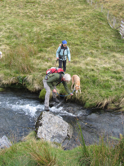
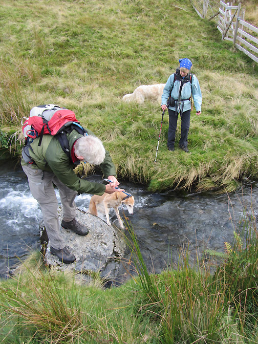
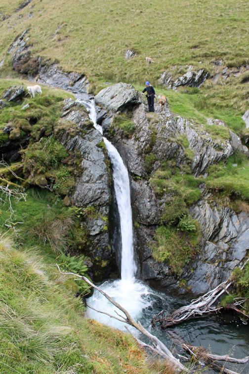
The sun made a welcome appearance just as we reached the waterfall that marks the junction of Bannerdale Beck and the Glendermackin. Now to find somewhere to cross . . . but the river is wider than it looks . . . even above the point where they join.
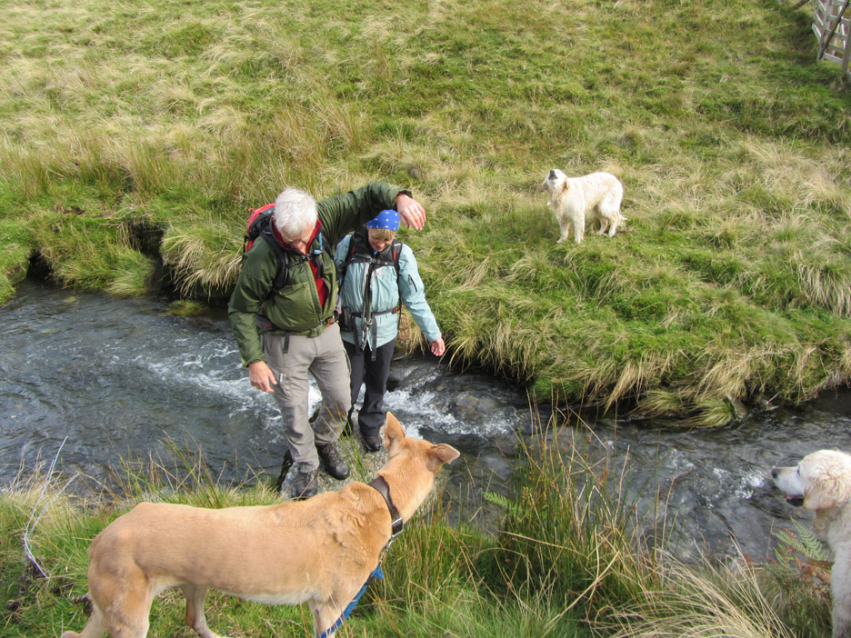
Not sure what was happening here . . . but Bethan seems quite amused.
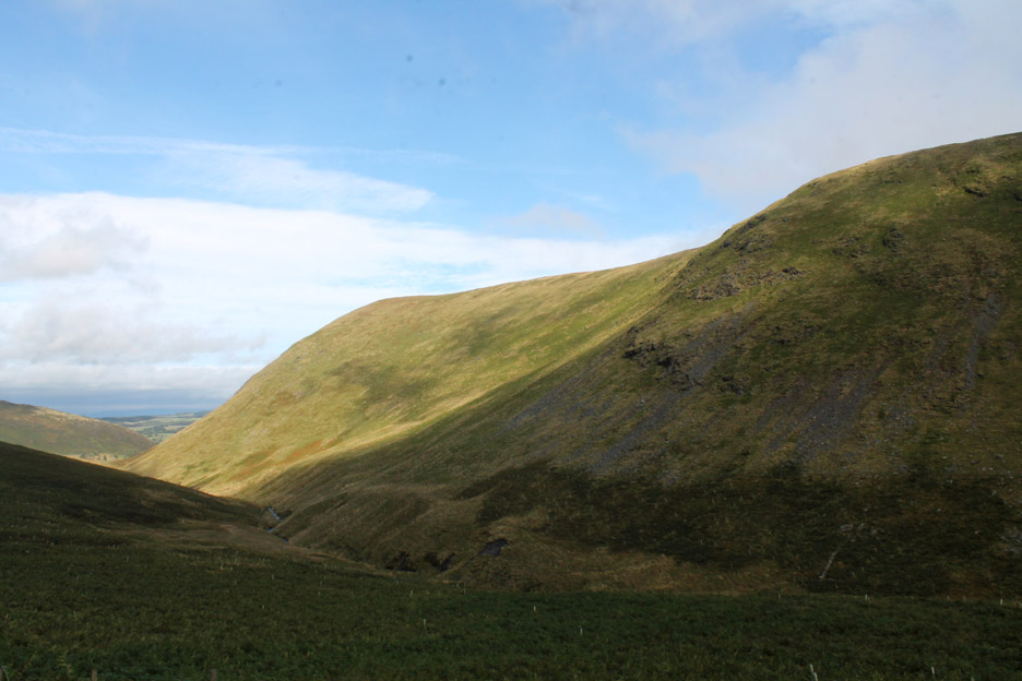
That blue sky is certainly more evident to the north and east . . . as we look back at the flanks of Souther Fell.
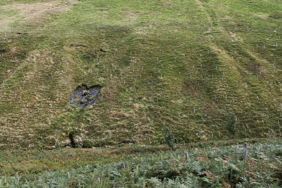
The attempts at planting a deciduous woodland on the banks of the river are taking a long time to come to fruition.
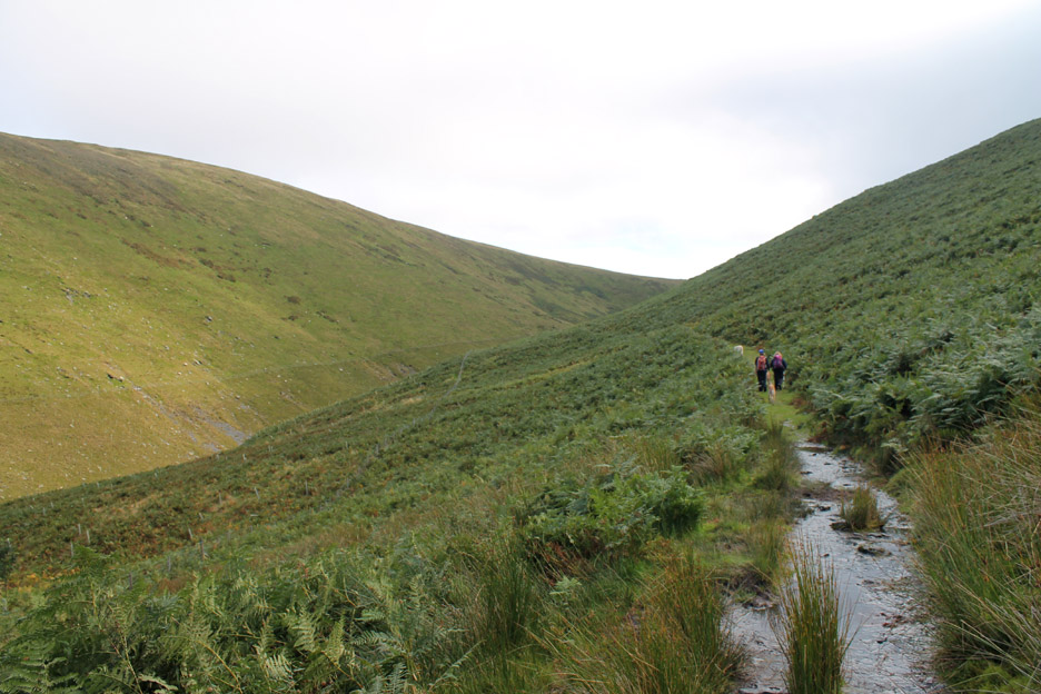
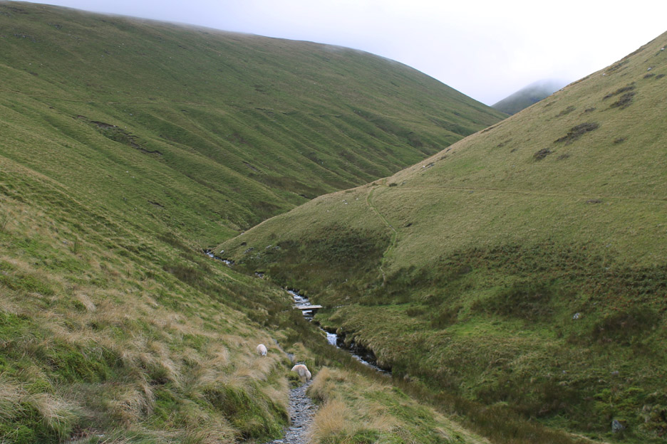
On the main track on the Bannerdale side of the river . . . there's plenty of water about on sections of the path today.
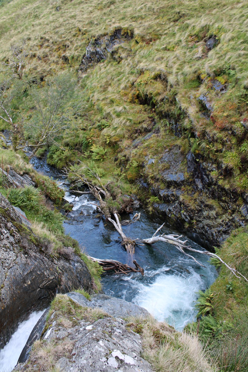
The Glendermackin in millennia past probably used to stay high and drain into Mousthwaite Combe over the hause, but the river was captured and diverted north around Souther Fell, the waterfall and lowering of the river bed at White Horse Bent being a sign of that capture. The effect of that glacial interference now adds an extra four miles to its journey to the main valley at Threlkeld.
It would make a great place for a swim as the plunge pool is really quite deep, but those dead trees need to be removed first in order to make some room . . . any offers ?
The footbridge at White Horse Bent that is used to cross the river.
The sunshine has been matched by a rise in the cloud level and occasionally the start of Sharp Edge could be seen. Hold your cursor over the picture to recall the photo from earlier.
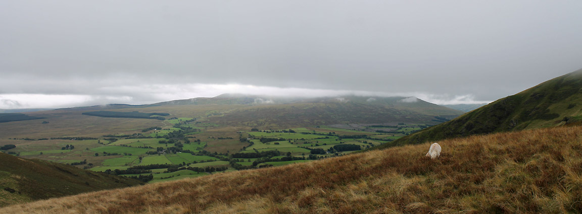
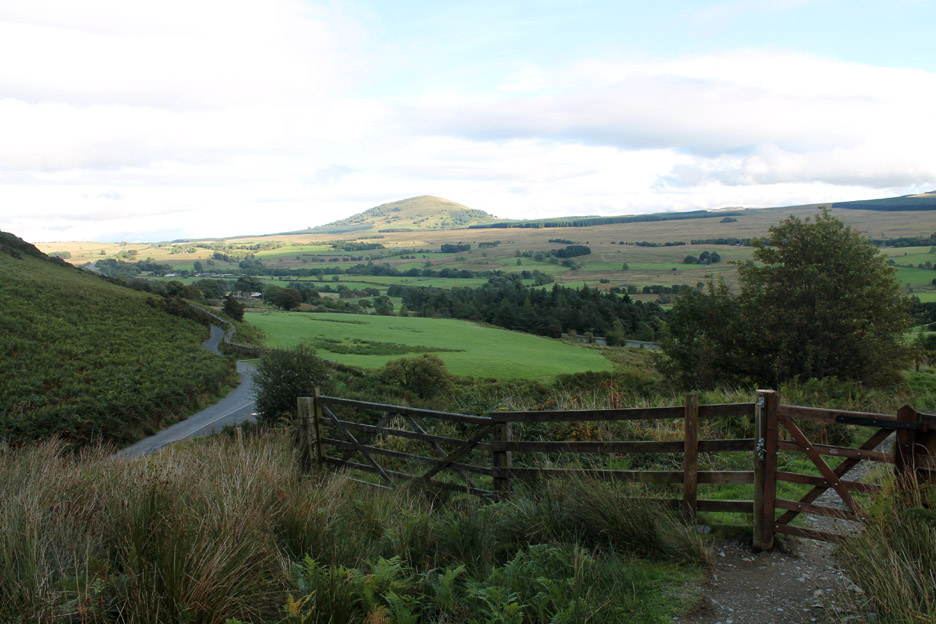
A wider shot looking down now as we start our descent back into Mousthwaite. Great Mell Fell is clear and the tops of the Helvellyn Range now have interesting streaks of cloud covering the various summits.
Back at the road and just a short walk back to the car.
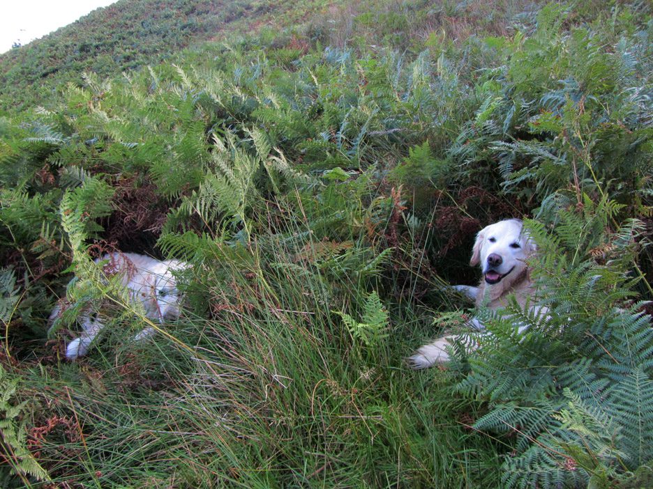
It is quite warm now . . . and Harry and Bethan wait in the cool undergrowth till the back of the car is open. We chose to wait a little longer to cool down . . . courtesy of a beer at the nearby White Horse Inn. - - - o o o - - - |
Technical note: Pictures taken with either Ann's Canon Sureshot SX220, or my Canon 1100D SLR digital camera. Resized in Photoshop, and built up on a Dreamweaver web builder. This site best viewed with . . . re-hydration at the end of the walk. Go to Top . . . © RmH . . . Email me here Previous walk - 18th September 2013 Dunstanburgh Castle from above A previous time up here - 17th May 2008 Souther and Bannerdale East Ridge Next walk - 27th/29th September 2013 - Local Autumn Sunshine
|