![]()

|
|
|
|
" Skye 7. ~ Carbost and Trotternish Peninsular "
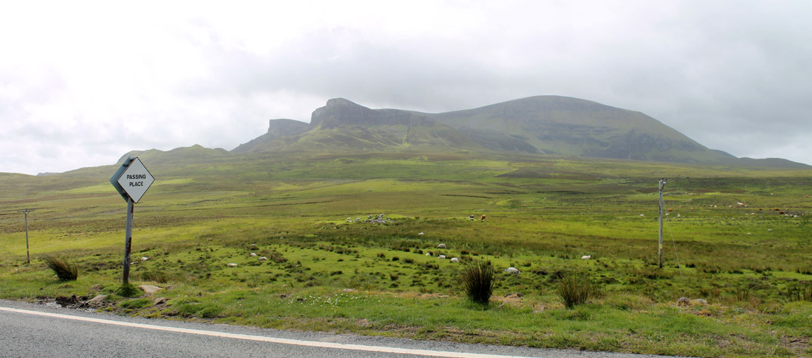
Date & Time: Wednesday / Thursday 3rd / 4th July 2013. Locations : Scotland ~ Isle of Skye ~ Carbost, Portree. Places visited : Old Man of Storr, Uig, Quiraing, Staffin, Brothers Point. Accommodation : The Old Croft House, Carbost, near Portree. With : Ann and the dogs, Harry and Bethan. Weather : Sunshine and showers ~ that means variable and unpredictable.
|
" Skye 7. ~ Carbost and Trotternish Peninsular " at EveryTrail [ Alter the settings to zoom or change the Map, use Everytrail to download the Gps route ] |
|
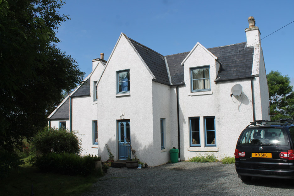
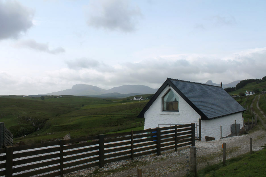
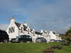
We've moved on, heading for the most northern and largest peninsular of Skye . . . the Trotternish Peninsular Famous for its rock scenery, the ferry to the Hebrides and the town of Portree which is the capital of the island. First find the B&B which for us was the Old Craft House in Carbost, about five miles out of town.
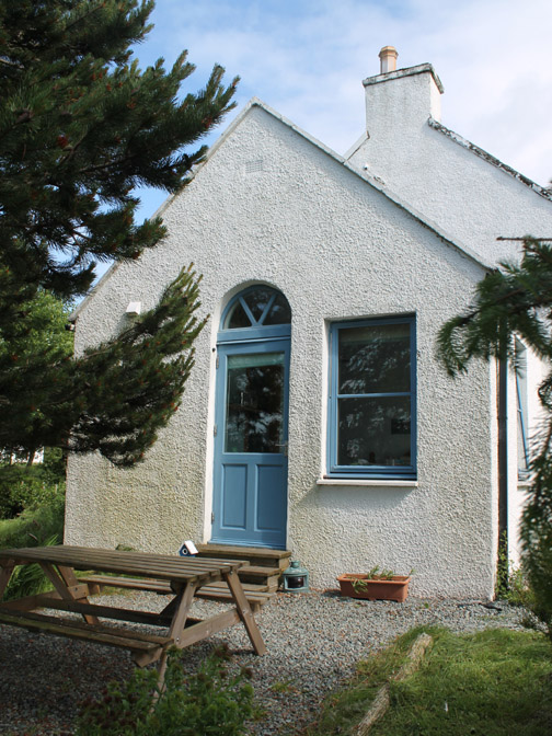
Sam and Mark live in the main house and the room on the left hand end is our accommodation.
Sam makes the most amazing breakfasts and no-one, not even the ardent carnivore, would be disappointed with her superb vegetarian cooking.
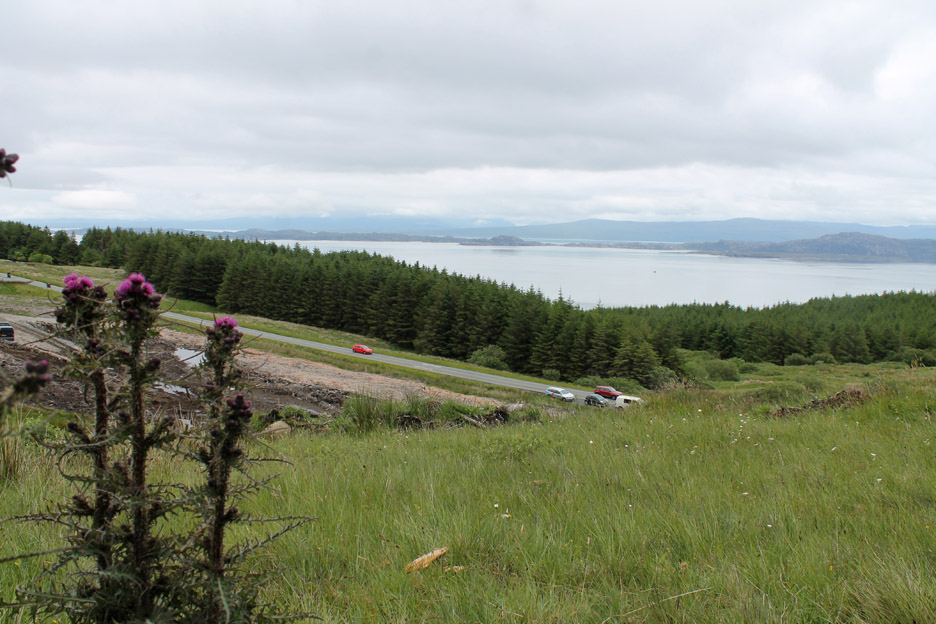
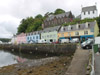
The first evening the sun shone beautifully and we drove the short distance into town for a look around.
The classic multi-coloured houses that line the quay side at Portree.
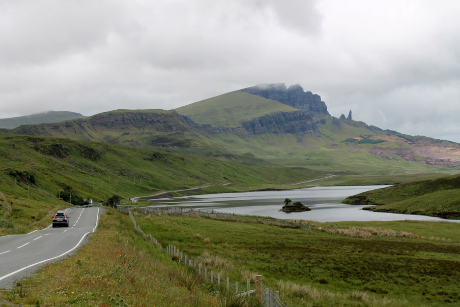
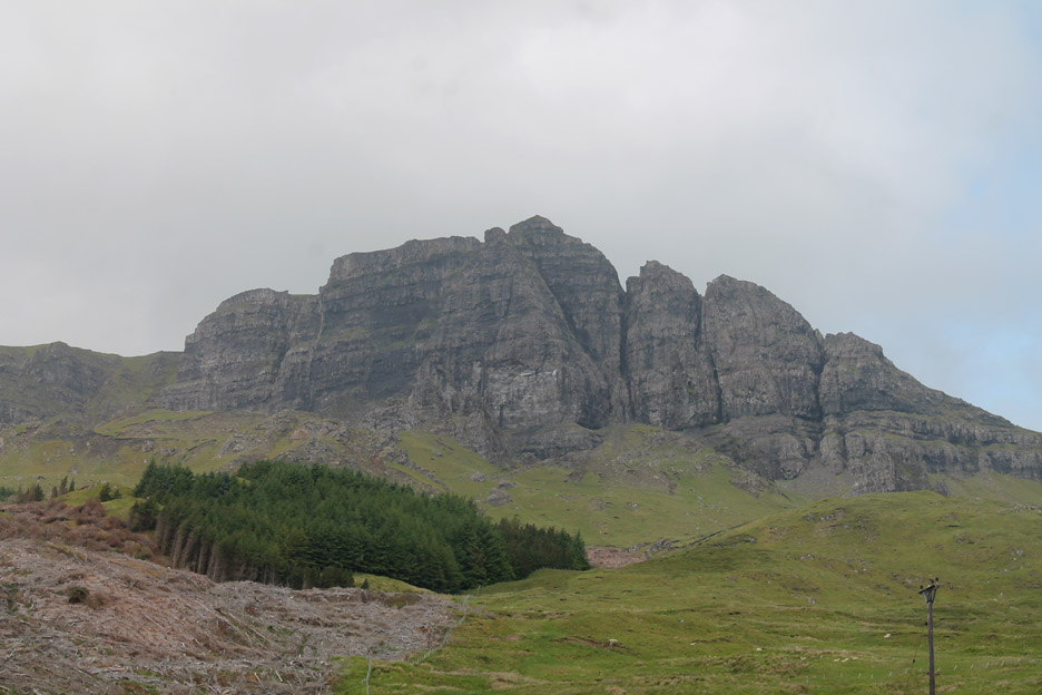
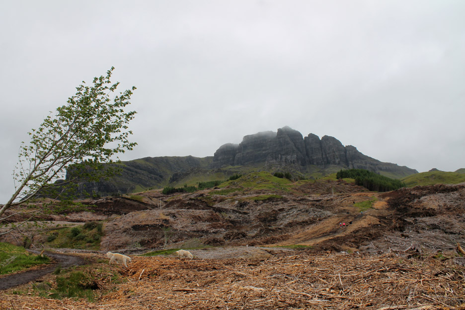
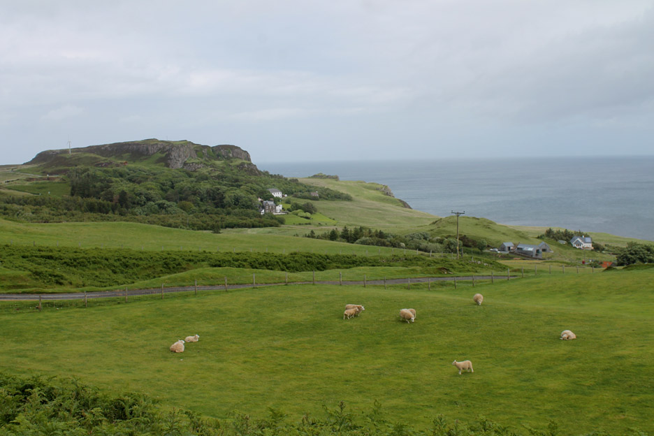
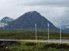
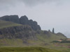
Just six miles north of Portree is the famous Old Man of Storr . . . a dramatic rock pinnacle set amongst several amazing rock structures on the Trotternish escarpment.
The sunshine is not quite as bright as in the brochures . . . but there it is . . . in front is Loch Leathan completing the picture.
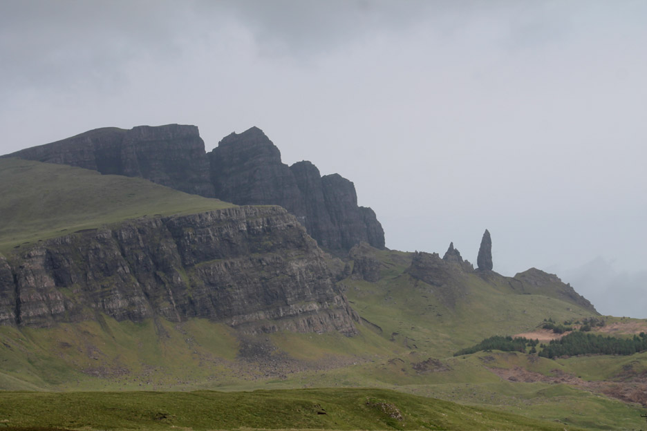
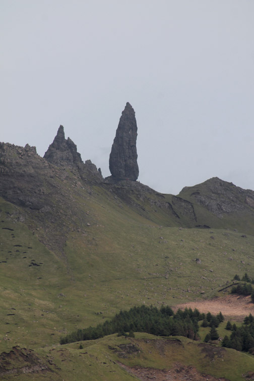
Zooming in on the dramatic needle of rock.
In fact without the benefit of the zoom lens it is difficult to see in this slightly grey weather. Hold your cursor over the picture to give yourself that extra clue.
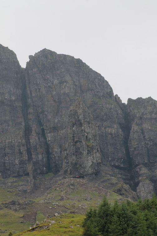
Unfortunately the landscape didn't match the brochure either . . . they had just clear-felled most of the trees and made a real mess. The classic walk up through the trees was criss-crossed by bulldozer tracks, muddy and almost completely ruined. It would have seemed prudent to us that the area should have been covered by a major tree preservation order for the benefit of the tourism industry.
Still the walk back down was better . . . with views across to the Isle of Raasay and the Scottish mainland. - - - o o o - - - The following morning we embarked on a tour of the peninsular . . .
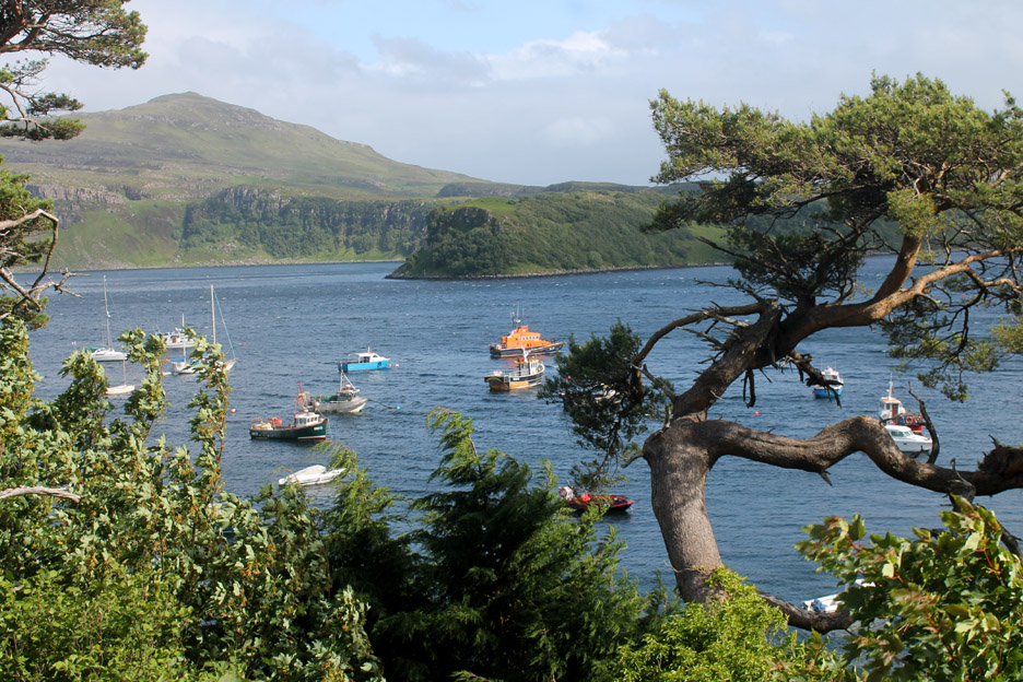
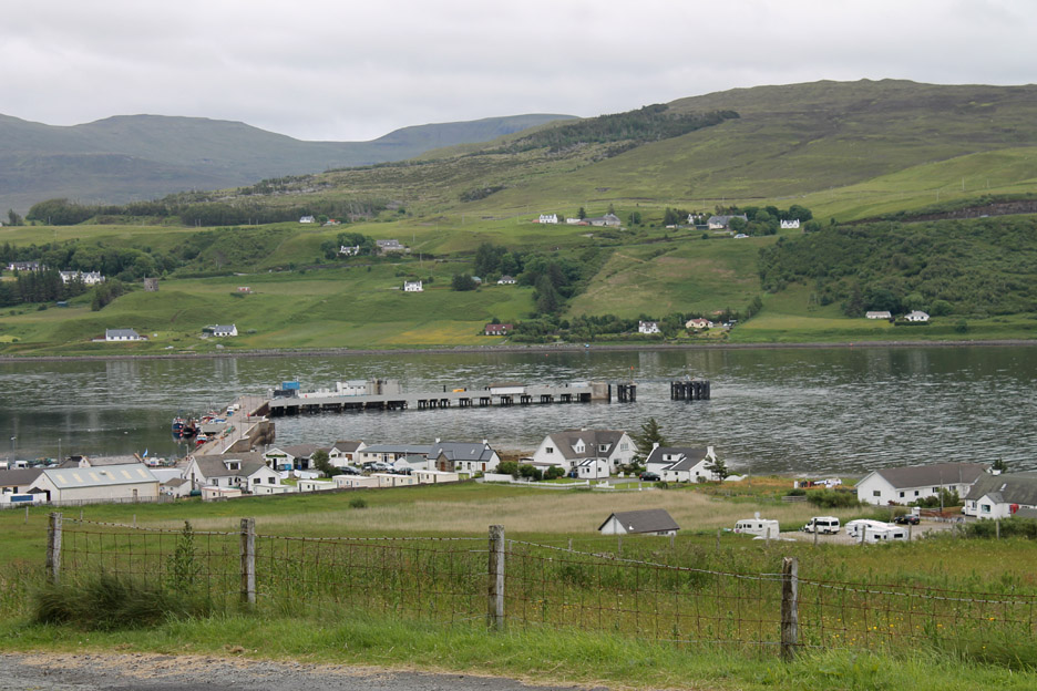
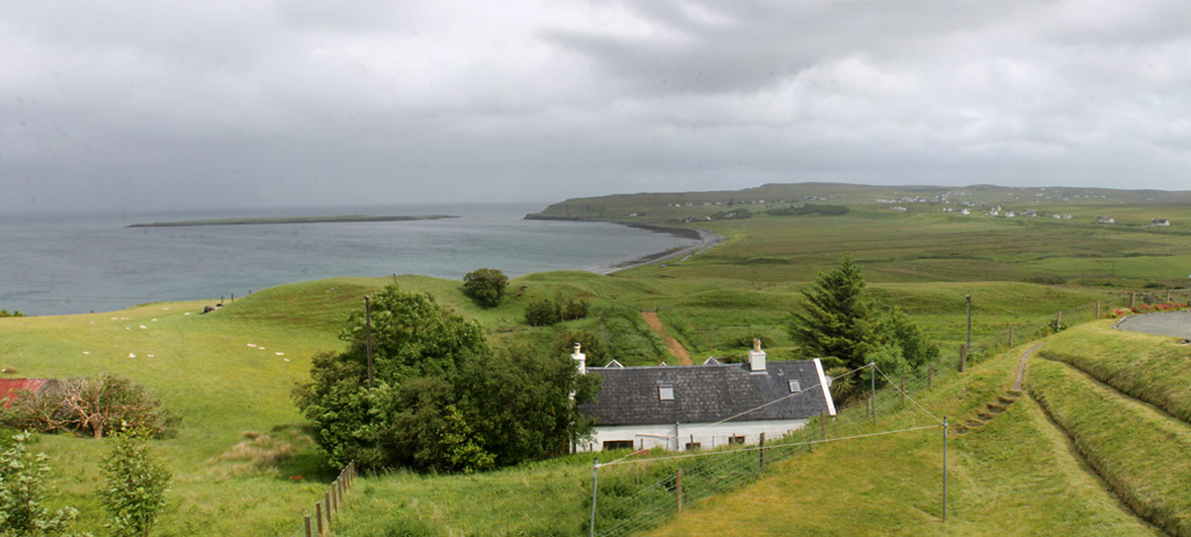
The small township and Hebridean port of Uig from The Folly which you pass on the way into the town. The long jetty is used for the daily crossing of the Macbraynes ferry to the Outer Hebrides. The web link lists lots of local information if you have a moment spare.
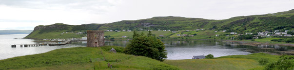
Uig Jetty from the other side of the bay. A short, steep dog-walk from this road-end found me on the top of the headland (on the left on the big picture below)
Click here or on the photo above for a larger Loweswatercam annotated panorama.
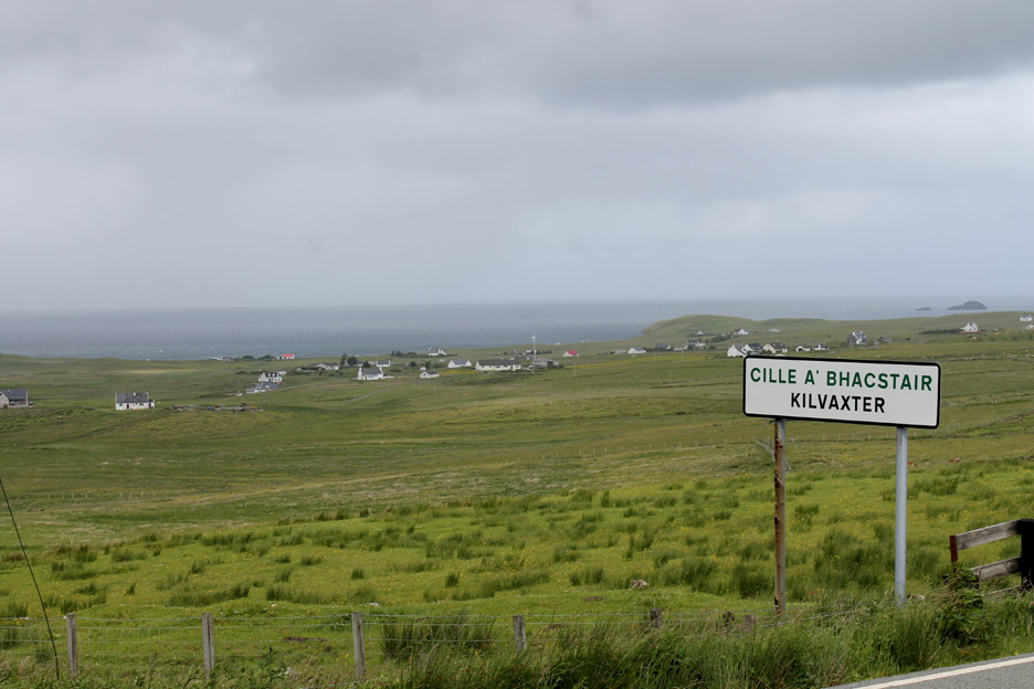
Travelling north we pass through the old crofting areas of Kilvaxter and Kilmuir.
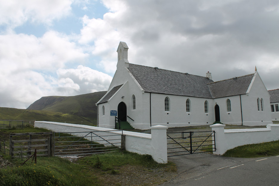
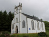
Kilvaxter Church . . . with a first hint of the Trotternish hills and escarpment behind.
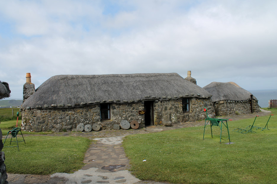
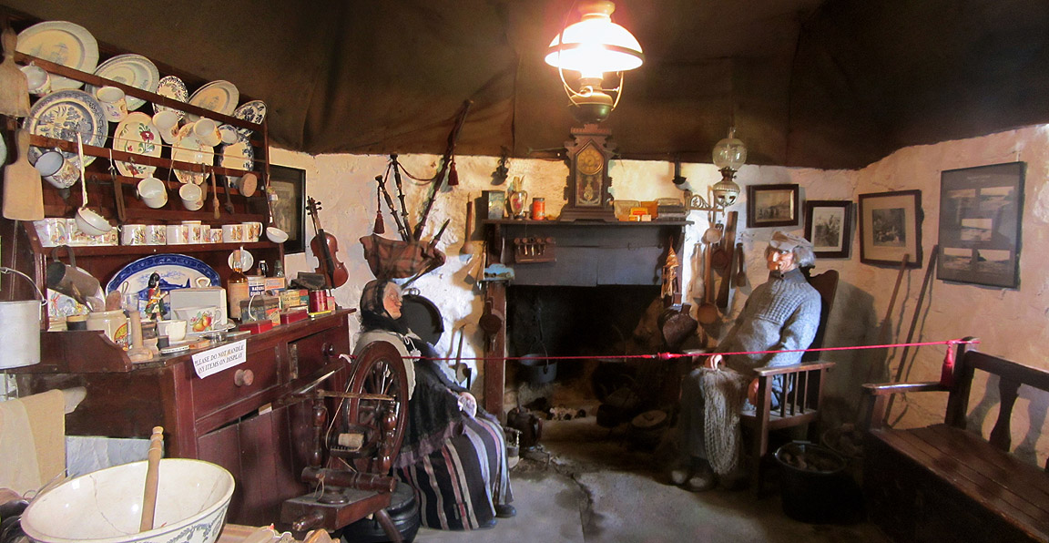
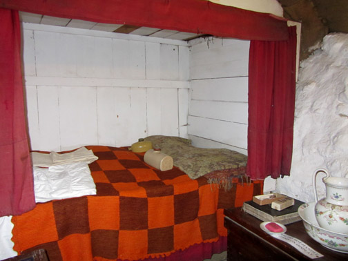
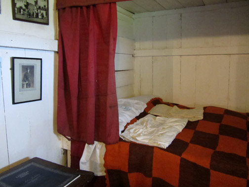
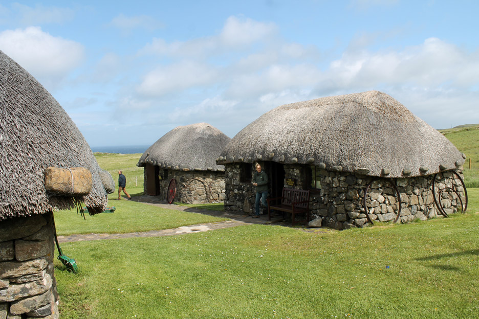
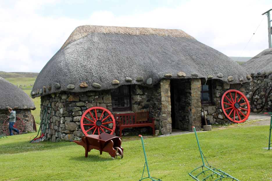
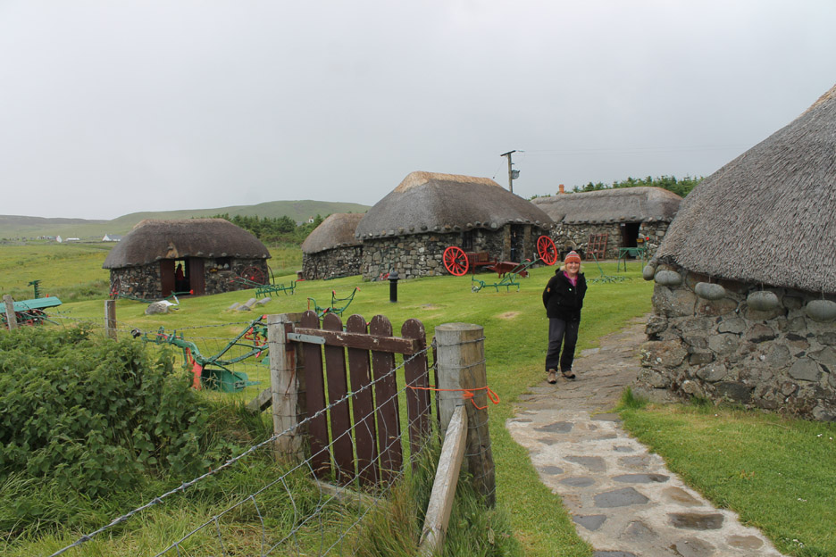
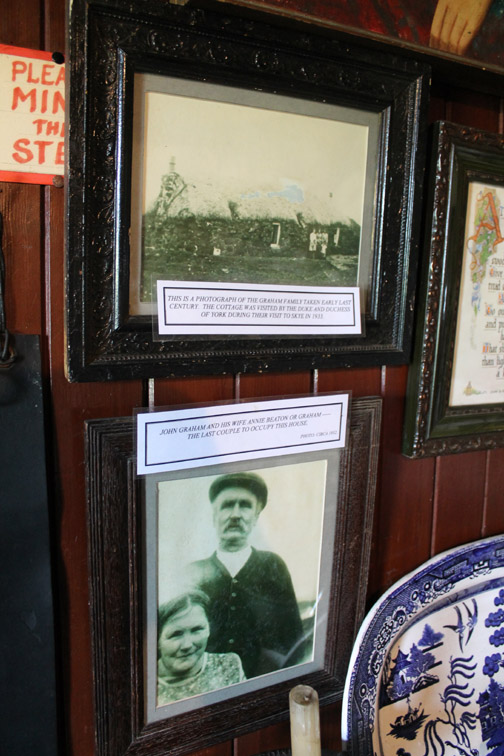
In the village of Kilmuir is a monument to the famous Flora MacDonald and the Museum of Highland Life created around and within an impressive display of old thatched croft houses in the village.
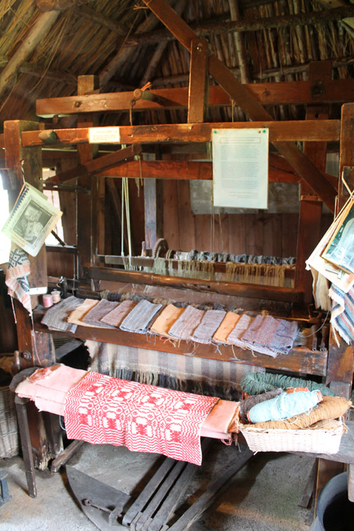
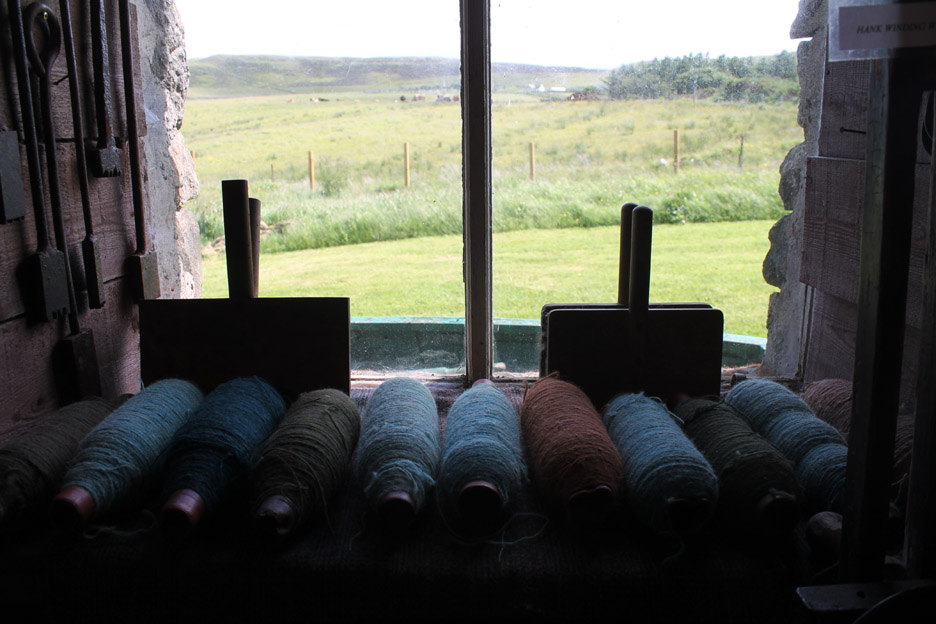
The Weaver's Cottage . . . one of many comprehensive displays.
Outside the Weaver's House. Note the stones on the eaves . . . designed to hold down the netting that protects the thatch from high winds.
A study in pastel colours . . . dyes would have been made from plants, flowers and lichens.
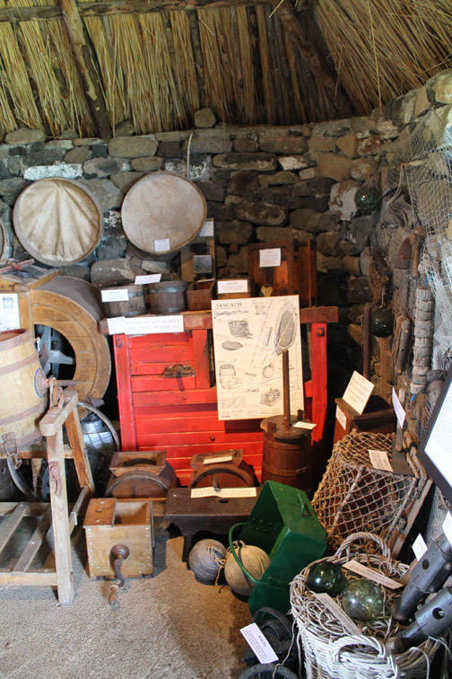
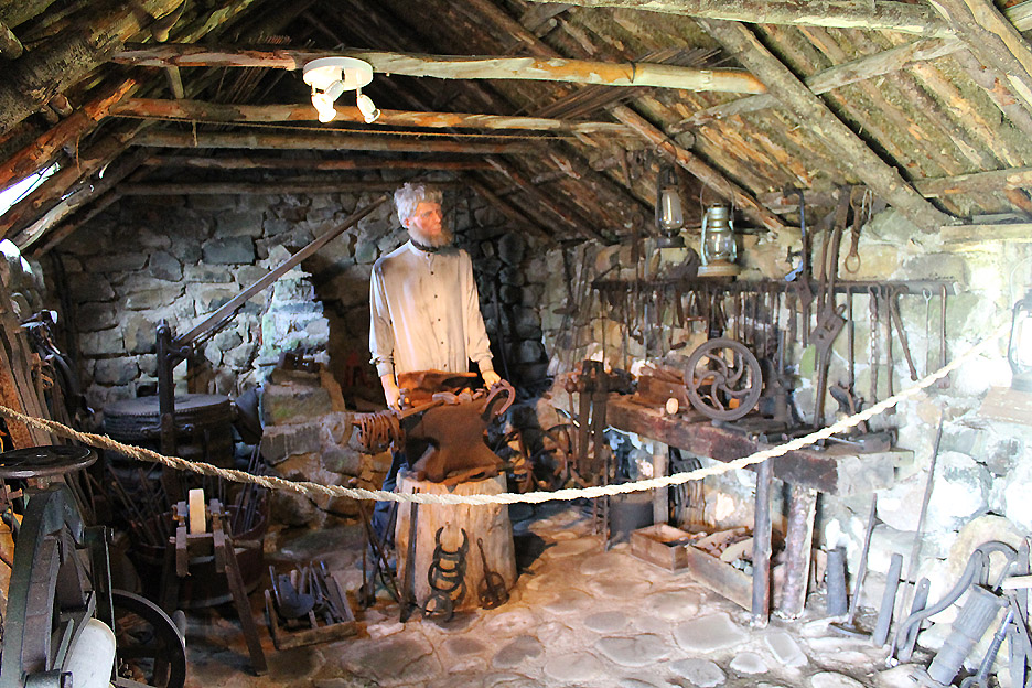
The Blacksmith's Cottage with his fireplace, anvil and a large array of tools.
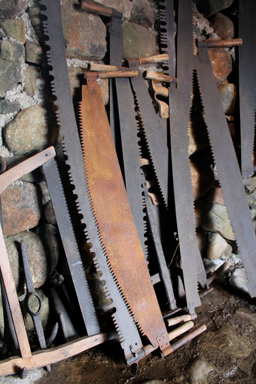
There were many old farm implements to see too.
As selection of . . . I'm sure you can read it as well as I can !
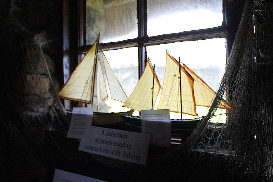
In several of the lower cottages there were extensive displays and plenty to read.
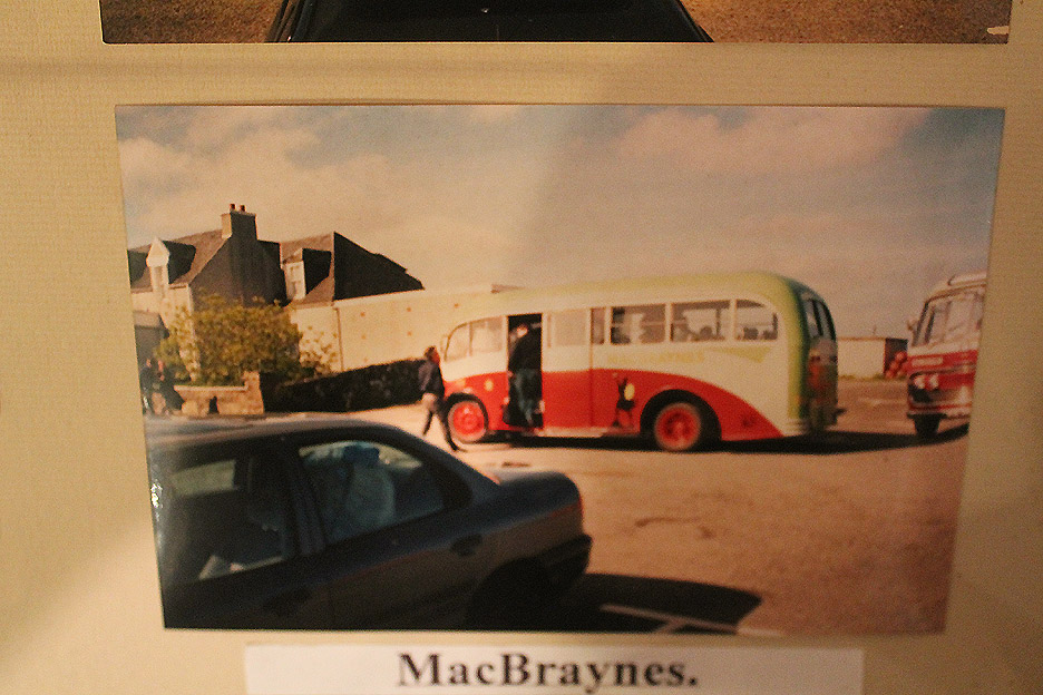
Old postcards and photos . . . a classic MacBraynes bus with the Highland logo on the side. [ Apologies the glass cabinet upset the auto focus ]
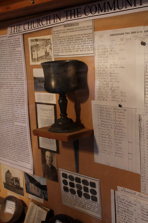
There was whole sections on people, the villages, the schools of the island, the Highland Troubles, Bonnie Prince Charlie and Flora MacDonald and more modern history of the local wartime activities. Skye transport and industry over the ages was heavily featured in this comprehensive museum.
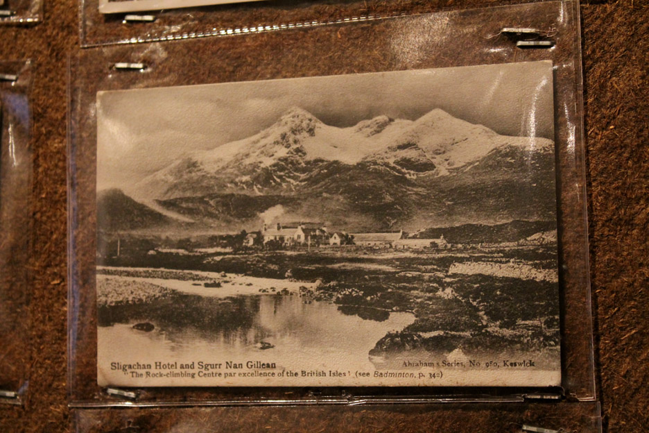
Finally an extensive collection of old postcards . . . this one of the Sligachan Hotel, a place we had dined at earlier in the holiday. Those with a keen eye will recognise the photographers . . . The Abraham Brothers of Keswick. [ George Fisher's shop, where I now work, is based in their old photographic studio building in Keswick] If you on holiday in the area remember to include this Museum of Highland Life in your itinerary. - - - o o o - - -
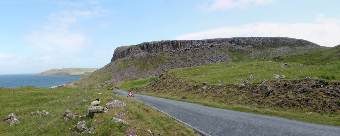
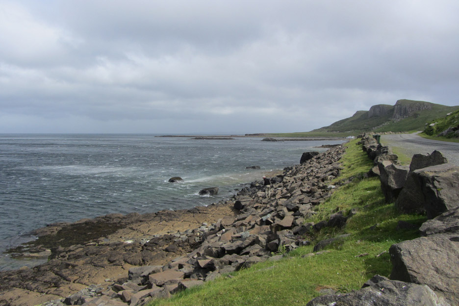
Moving on and nearing the top of the peninsular . . . passing the impressive roadside cliffs near Port Duntulm.
The remains of Duntulm Castle are on the headland to the left . . . the modern hotel to the right.
To the top of the island and remember to turn right . . . the road continues on past the houses of Balmacqueen and Kilmaluag Bay.
The escarpment of the Quiraing is starting to appear.
Flodigarry . . . looking north east now over the open sea. North (but lost in the distance) are the Hebrides and east are the mainland headlands around Loch Gairloch and Loch Torridon.
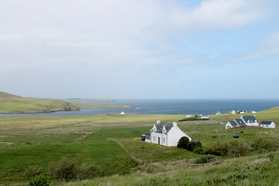
This is Staffin Bay, the road and the hillside dotted with old crofts, a large proportion of which have been modernised. What is always surprising with areas like this, and for that matter parts of coastal Ireland, is the high density of housing alongside the roads which has got to be a throw back to the old croft system.
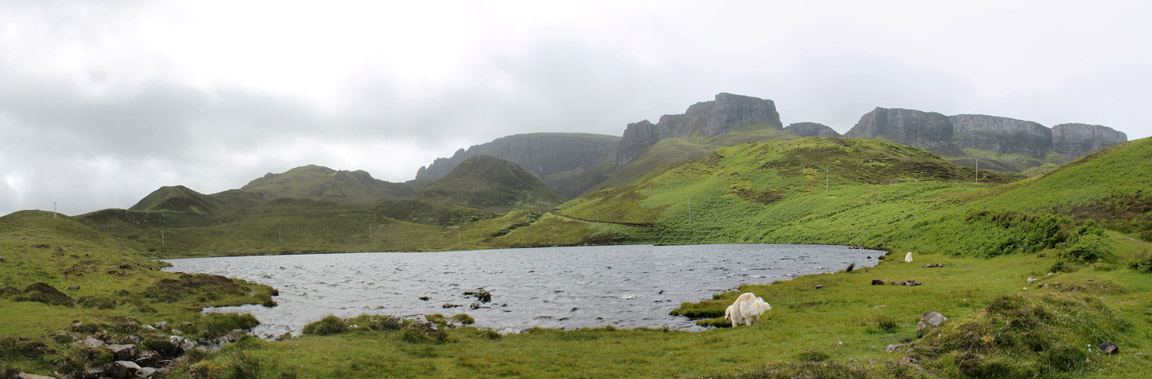
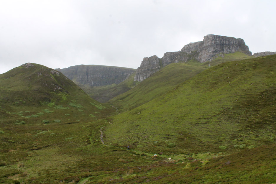
Time to stretch our legs and explore a little. This is Loch Langaig just off the road, south of Flodigarry. Behind are the dramatic cliffs of the northern end of the Quiraing. The path from here would take us over to The Needle, The Prison and The Table if we continued all the way.
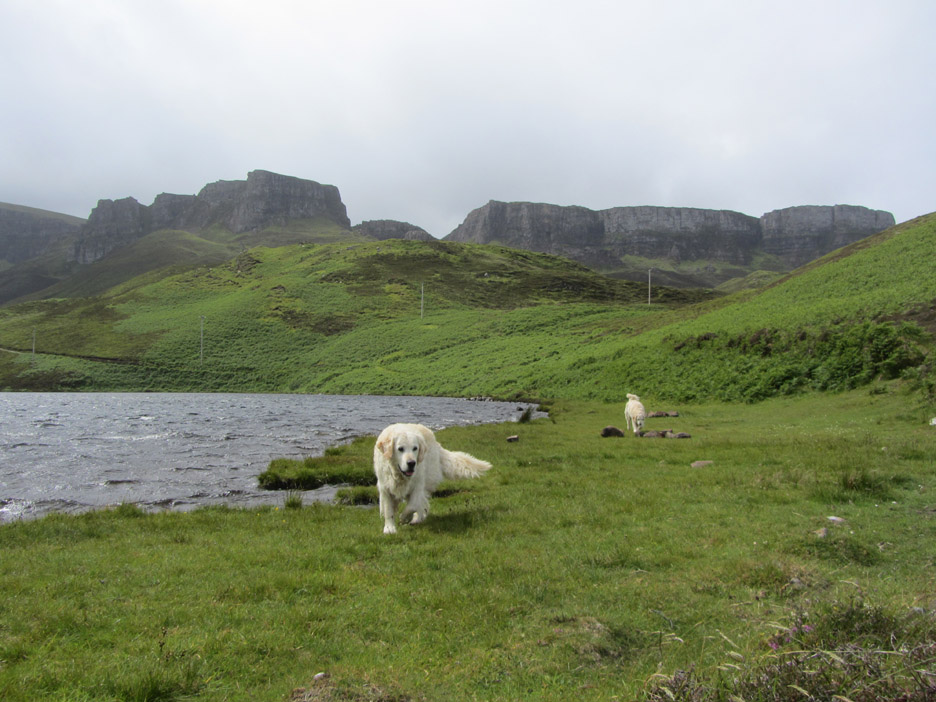
The dogs were just happy to be out for a walk.
We're in the shadow here but Flodigarry Island is enjoying a large patch of sunshine.
A fellow walker ahead . . . he was walking the track and had the advantage of a lift waiting at the other end.
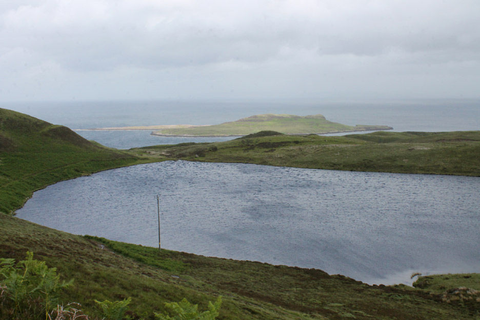
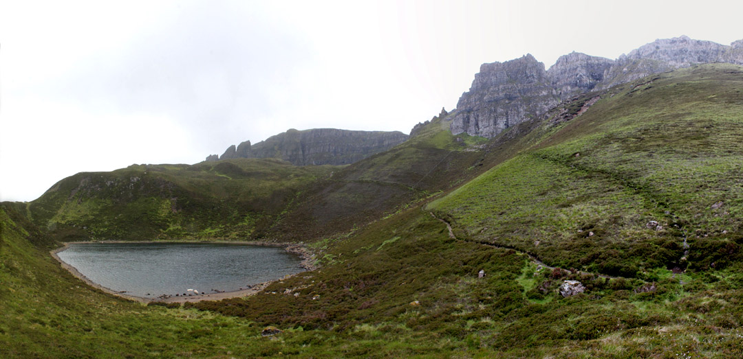
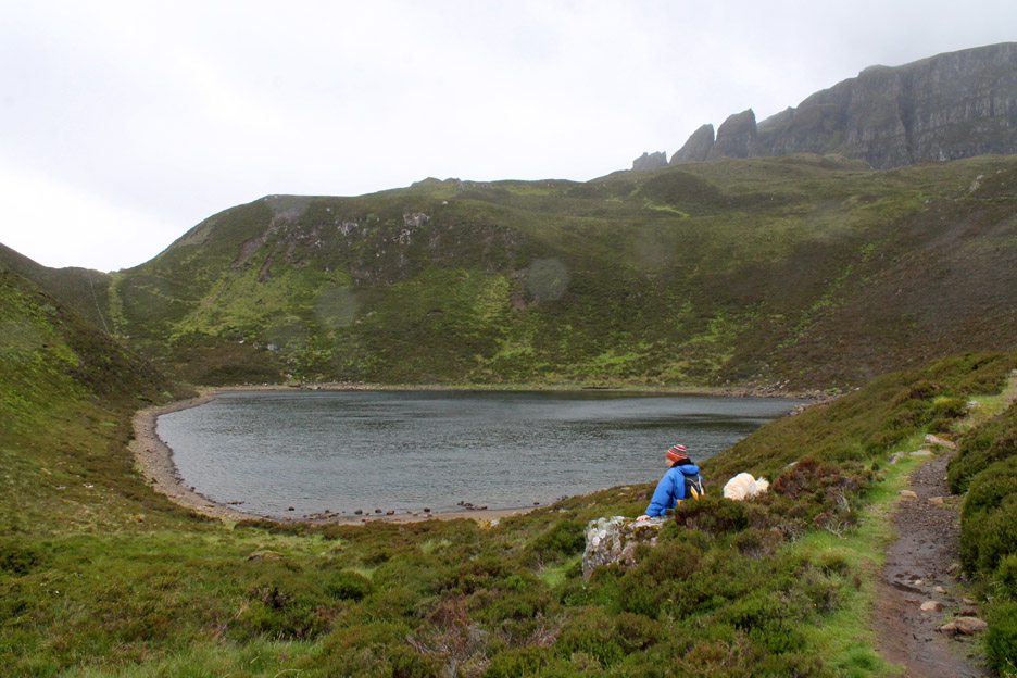
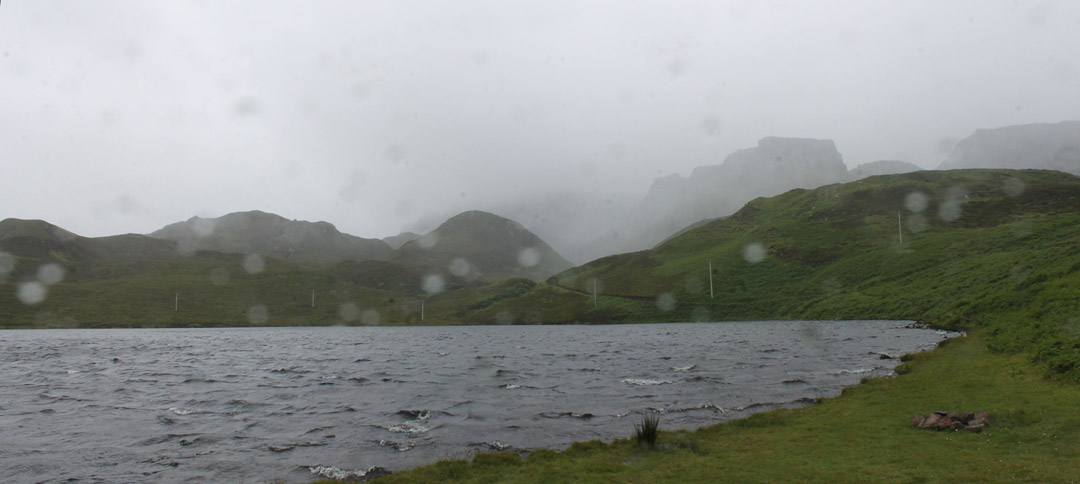
Up near the escarpment is a spectacular blind tarn, Loch Hasco, surrounded by high ground and therefore no visible river or stream exit for any of the water.
A convenient stone allows a stop to take in the atmosphere.
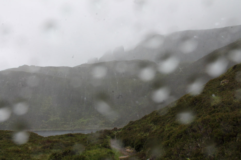
Unfortunately that atmosphere was becoming appreciably more moist . . .
. . . to the point of being ridiculous !
The camera went away as we returned to the car but it came out for a picture of the wind-lashed lochan we had passed at the start of the walk. - - - o o o - - - Half an hour later . . . and four miles further on . . . the world had changed.
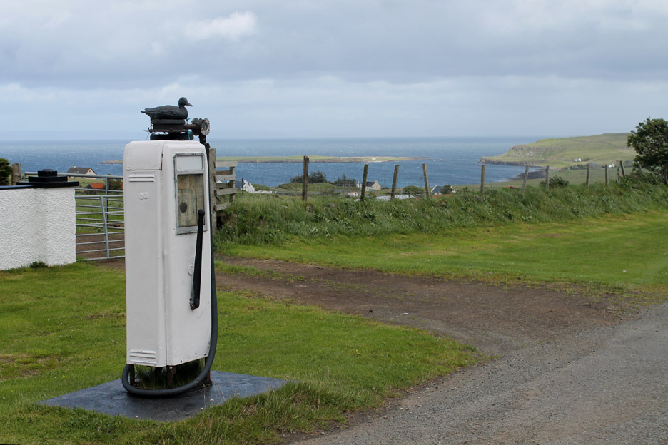
Staffin Island again as we take the Uig mountain road up to the Quiraing. A piece of roadside history . . . a hand-operated roadside petrol pump . . . presumably no longer used. Can't think of a brand name that includes a black duck in the title !
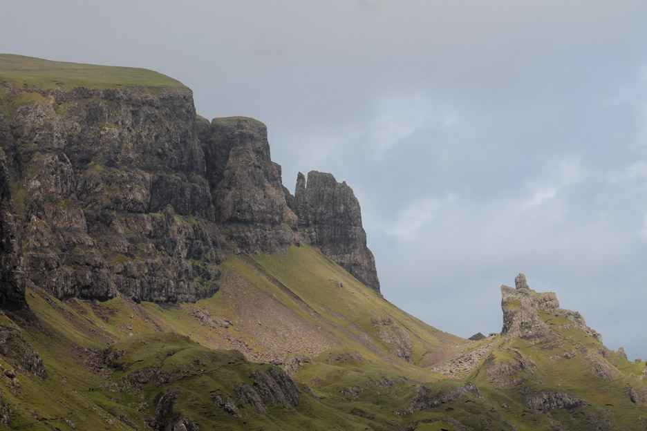
As we approached the escarpment we passed The Cleat and the Druim an Ruma cliffs.
We stopped the car to look at the many and varied rock pinnacles that adorn the escarpment.
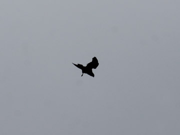
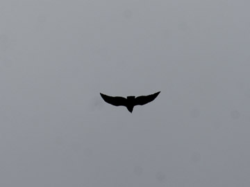
Suddenly the sky around us vibrated to the sound of large birds.
Four or five hooded crows (two pictured here) were harassing a larger buzzard.
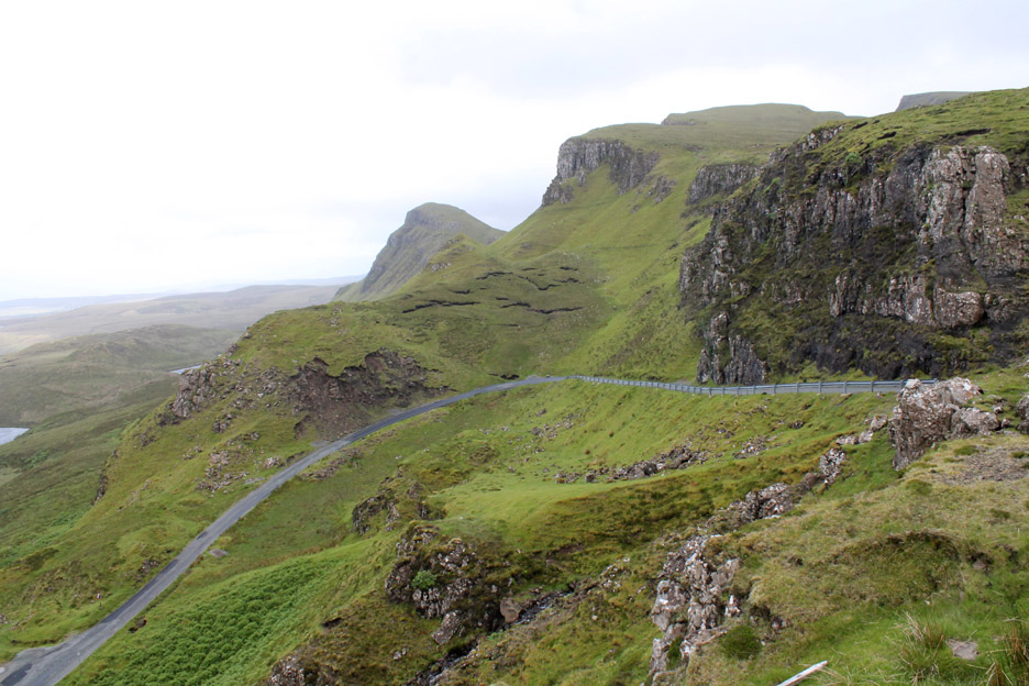
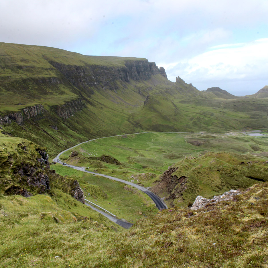
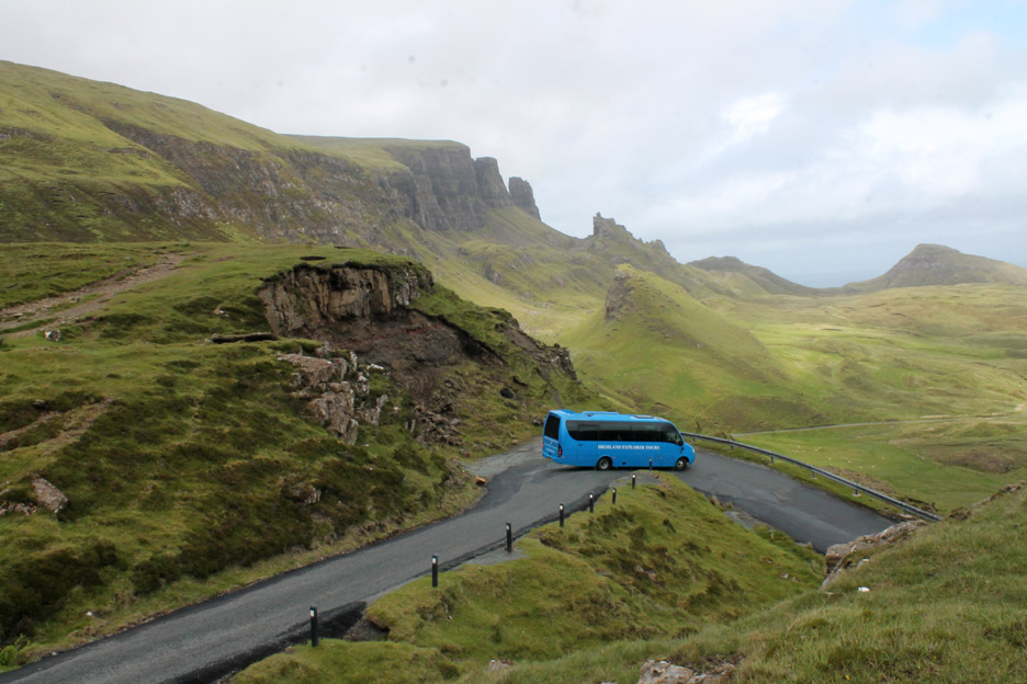
The last section of the mountain climb becomes quite steep and exposed with a couple of nice hairpin bends.
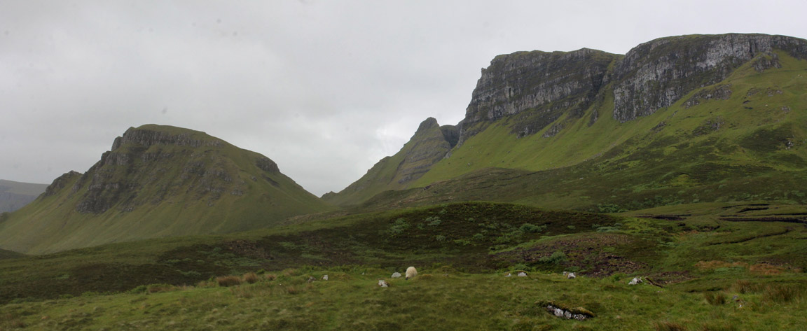
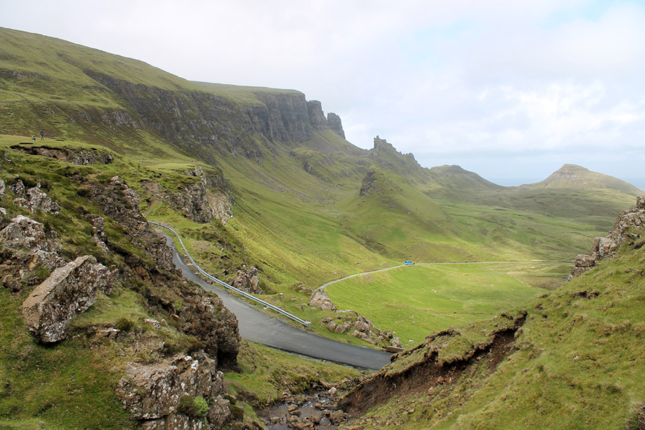
The big picture . . . The Quiraing from the start of our moorland climb to the high point of Bioda Buidhe.
Zooming in on the rock pinnacles.
This is a popular places for visitors, including several local coach companies.
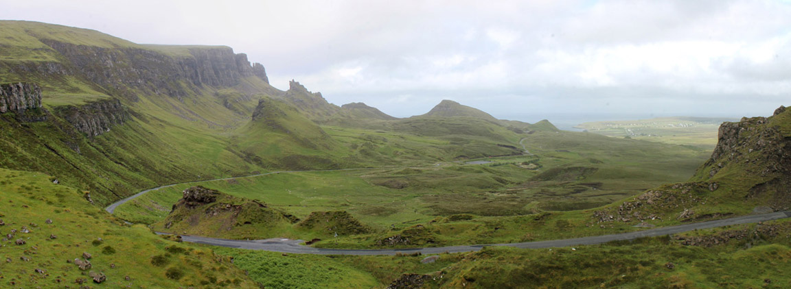
The big picture . . . now the wide picture.
Stunning scenery as that blue minibus reaches the level ground beneath the hill. - - - o o o - - -
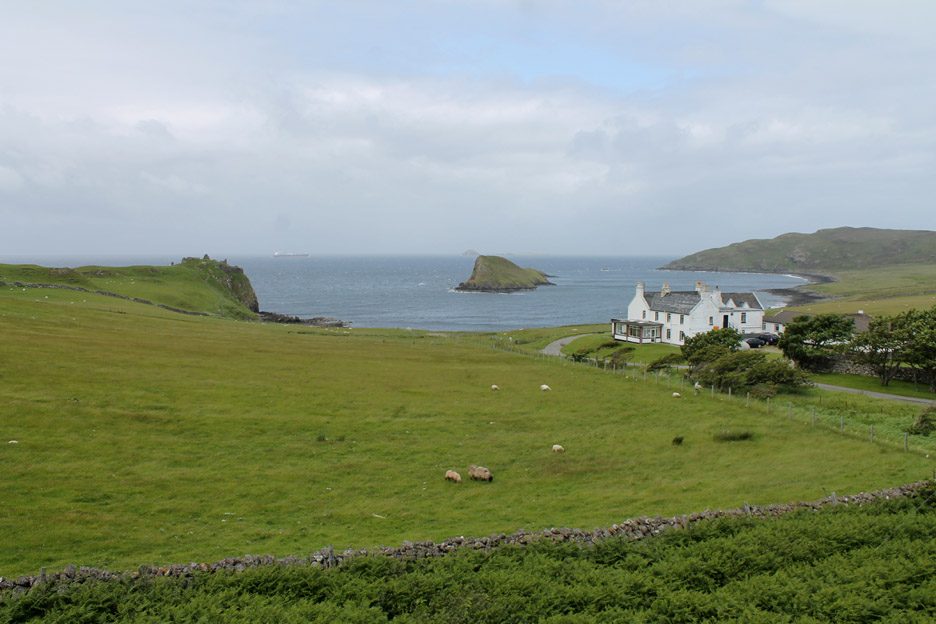
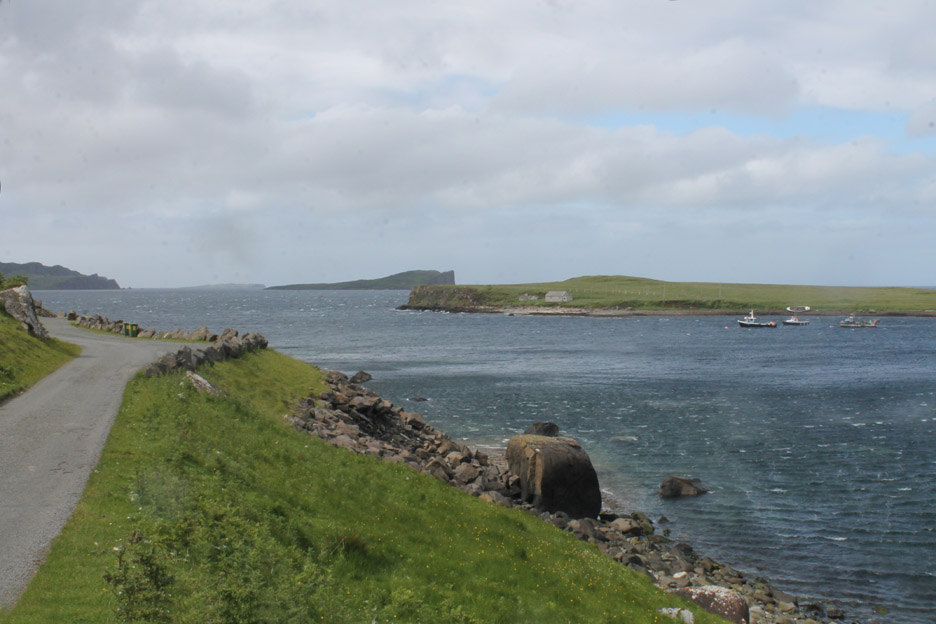
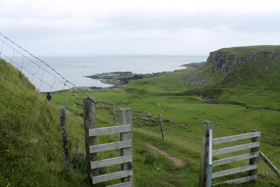
A 'have-a-look-while-we-are-here' moment which turned out to be an interesting stroll . . . Staffin Island close up. We turned off at Stenscholl and took the short coastal road below the village.
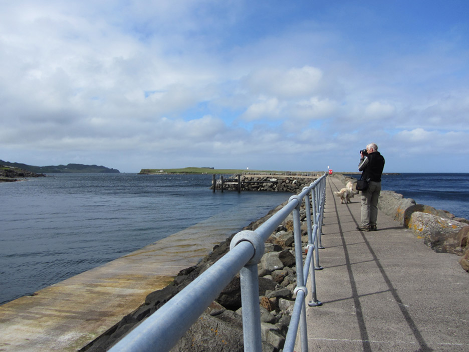
A very strong wind as we drove round to Staffin Pier.
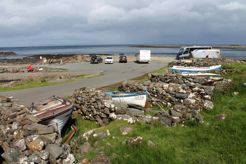
The Tub and several other boats . . . harboured between walls presumably to protect them from the extremes of the weather.
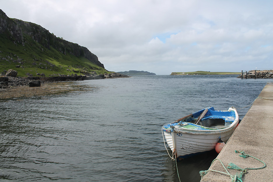
In the lee of the headland and the island, Staffin harbour offers a stretch of safe mooring and a modern pier.
Myself, fleece clad against the cool breeze, walking out along the jetty.
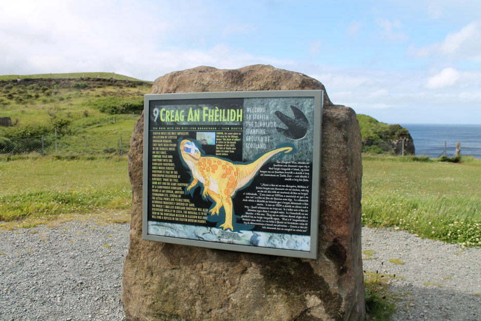
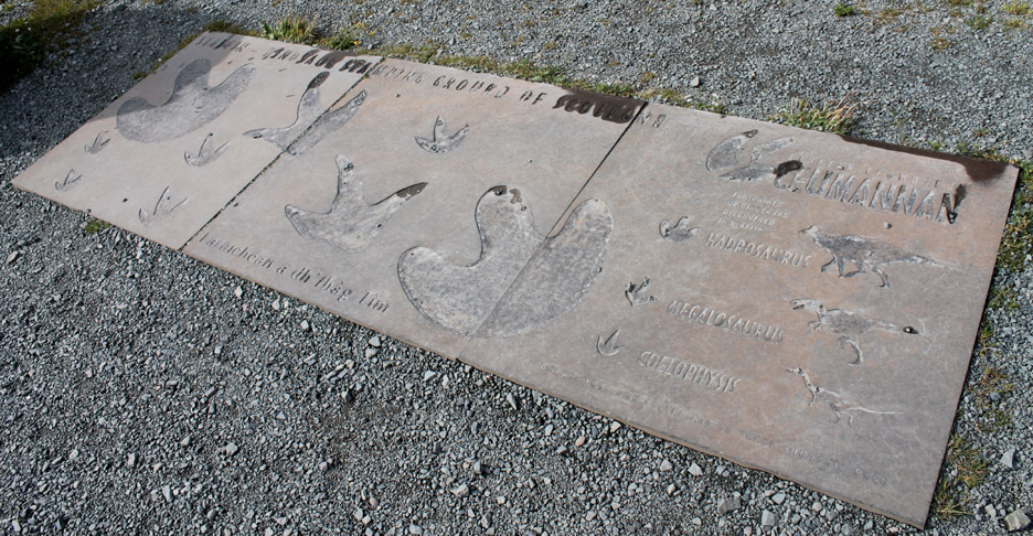
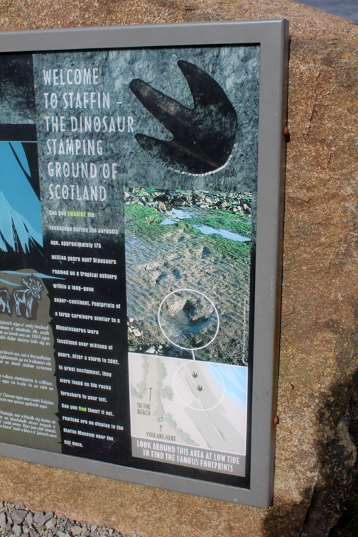
This are is famous for the geological history . . . which here features the age of dinosaurs. These ancient creatures used to roam on the alluvial soils of the area and some left footprints that are still recorded in the geology of the rocks to this day.
A stone plaque tries to explain and identify the size and shape of footprints made by these creatures that roamed the earth until a catastrophic extinction event (following a meteor strike) which occurred approximately 65.5 million years ago.
Perhaps it would have been better with the tide further out and more rock exposed.
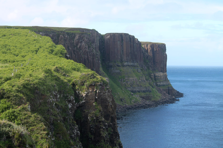
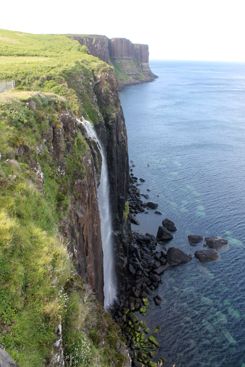
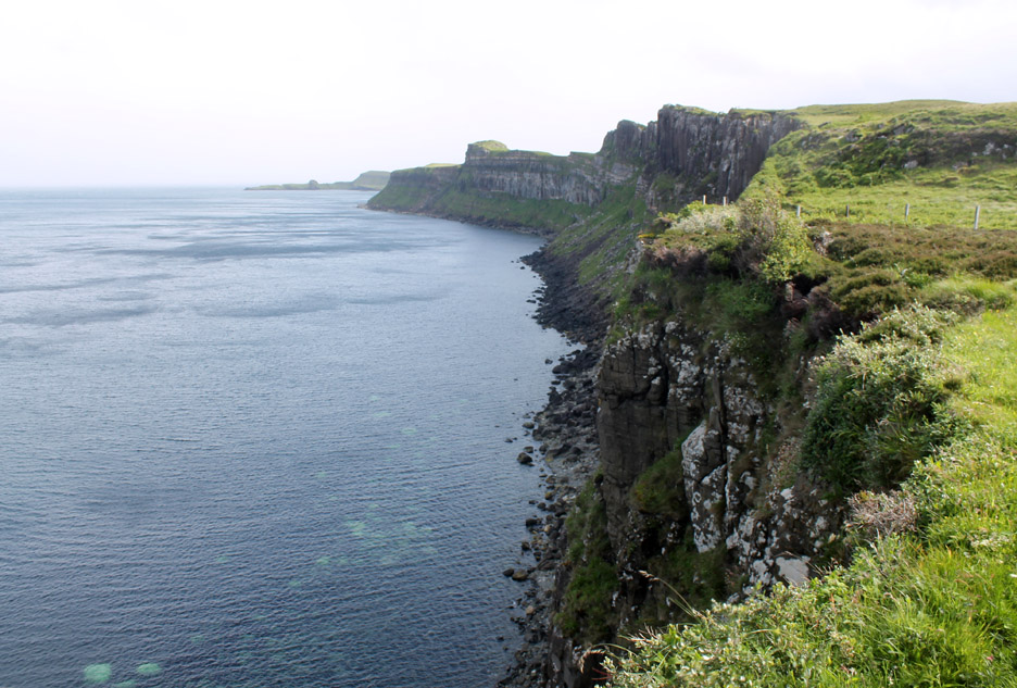
The geology of the rock around here is very interesting too . . . as the headland exposes the various stratas of volcanic and sandstone rocks in a very colourful way. This headland goes by the local name of Kilt Rock . . . after the tartan appearance of the coloured bands.
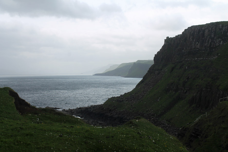
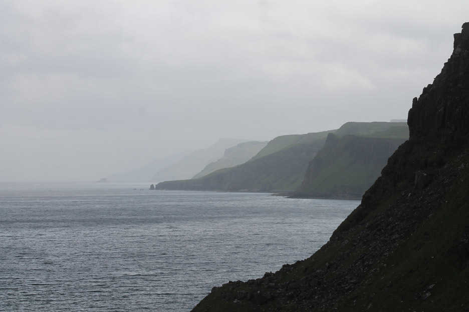
Looking south along the cliff edge to the distant headland of Brothers Point.
Parking at the layby near the Glenview Hotel, we walked down the track, passing this rather nice converted 'Black House' the base of the walls reflecting the original stone construction, the upper story and roof reflecting a decidedly more modern appearance.
The track leads down to Culnacnoc Bay.
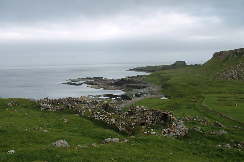
All that remains of an ancient settlement that once took advantage of the sheltered location.
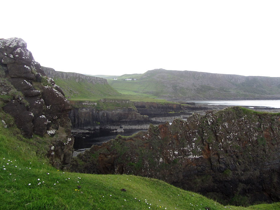
Down at the head of the beach looking north to Kilt Rock in the far distance.
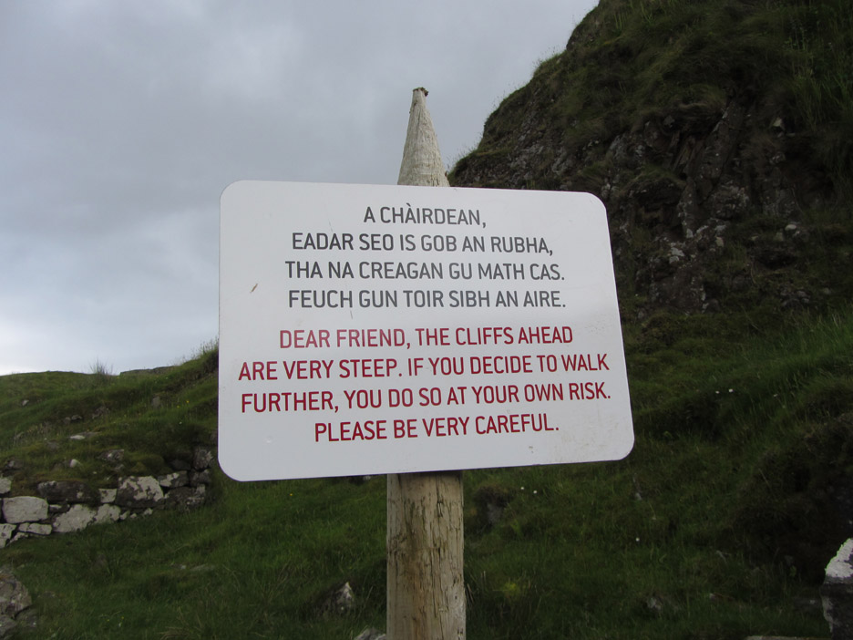
What a nice sentiment . . . informative without being authoritarian or sensationalist.
" The cliffs ahead are very steep . . . "
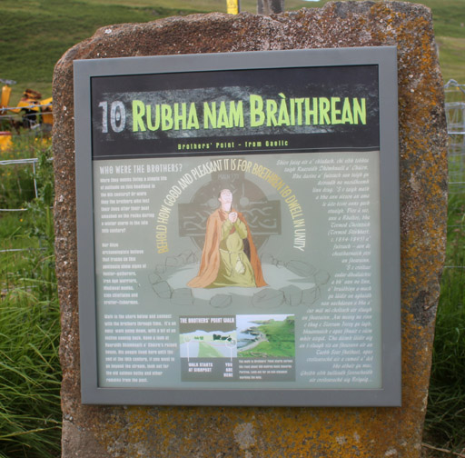
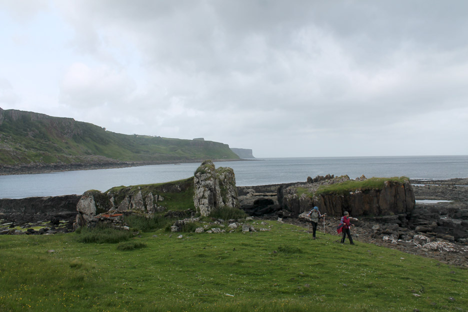
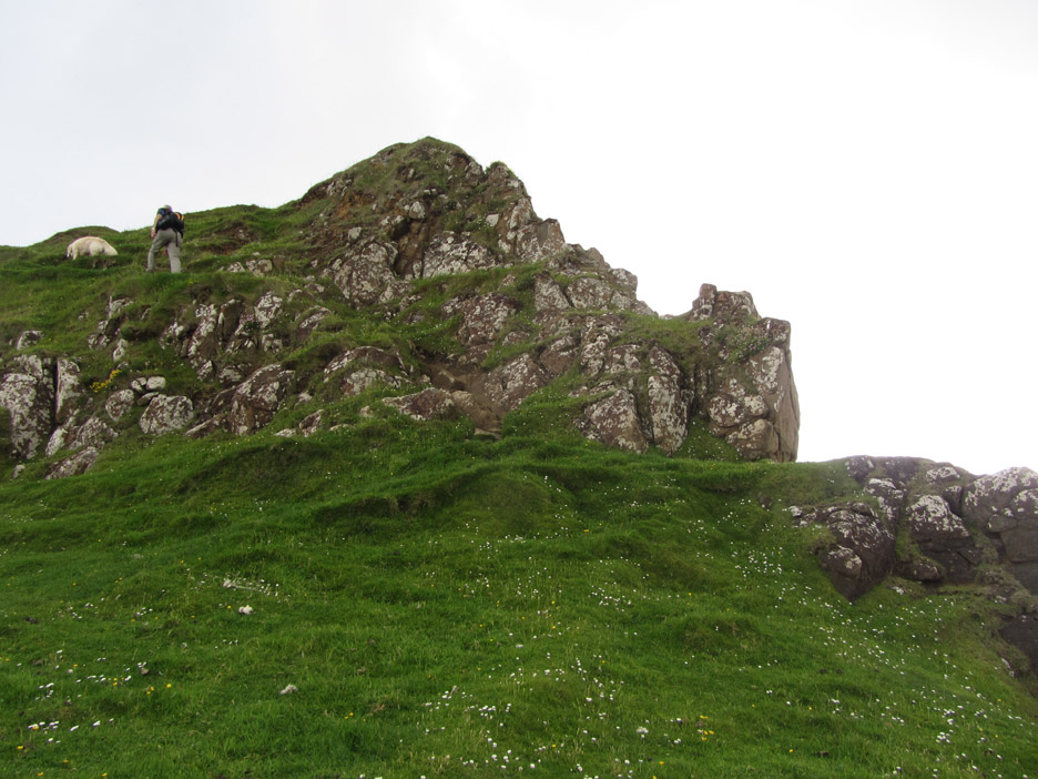
There is evidence of an ancient hill fort on the top of the headland where the two people are standing.
A great defensive position as it is a tricky climb to the top.
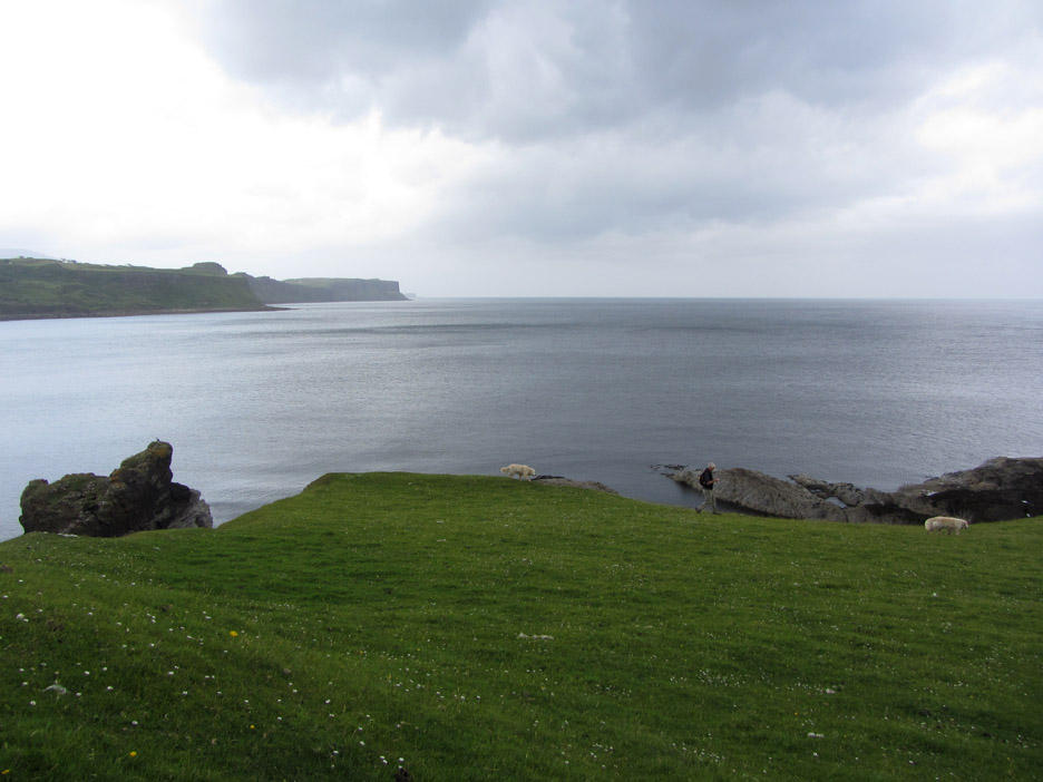
The old fortress has a good view south down the coast too.
Beyond the high turret is a flat area with evidence of hut circles evidence it seems of the time when Monks had their monastic cells here . . . hence the Headland of the Brothers.
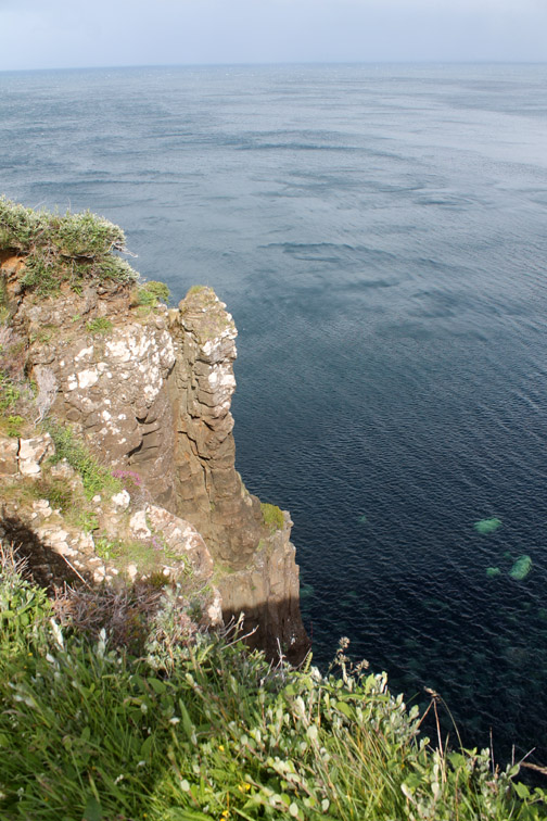
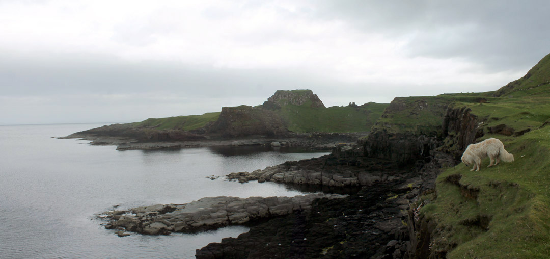
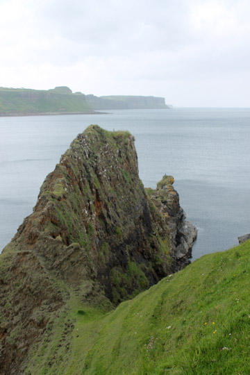
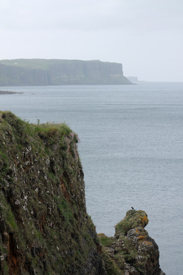
Fine geology here including this craggy volcanic intrusion heading out to sea.
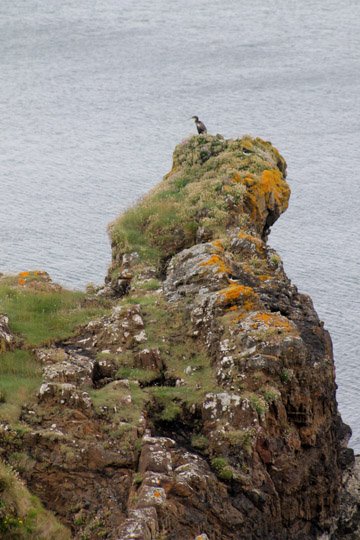
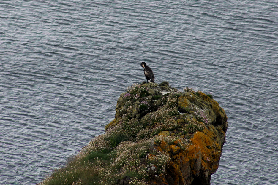
With the bigger lens on we could make out the detail of the flowers and of the Shag preening itself on the end rock.
That southern view as we make our way back . . . now it is looking a little more grey than it did earlier.
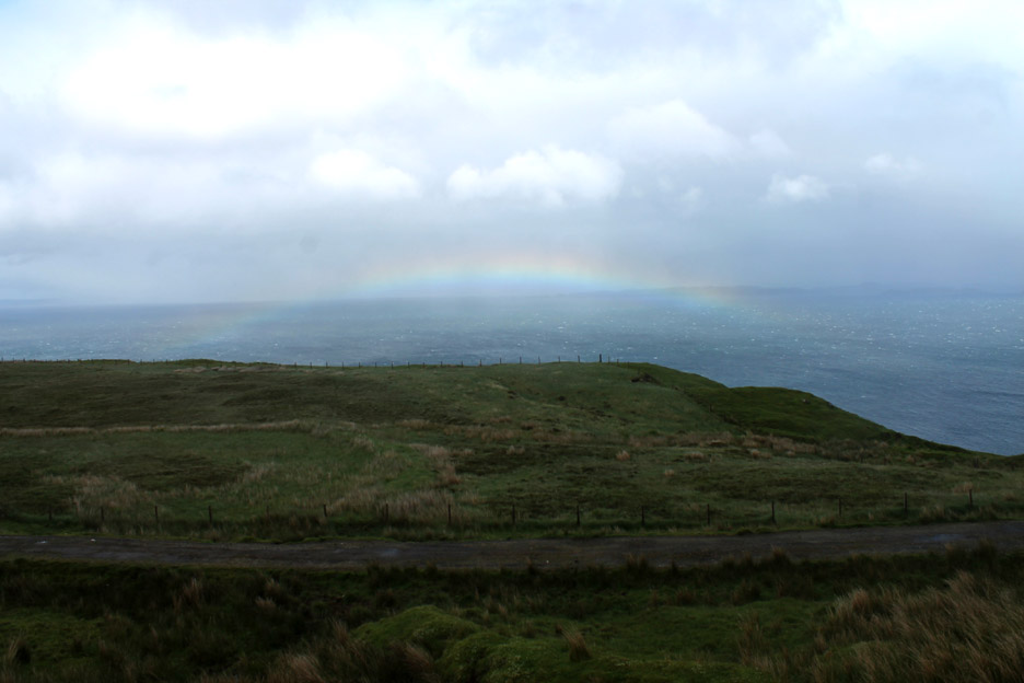
Back on the road to Portree . . . the reason for the greyness becomes obvious as we pass through a shower of rain. Sunshine and rain of course can often lead to a rainbow . . . as it did today.
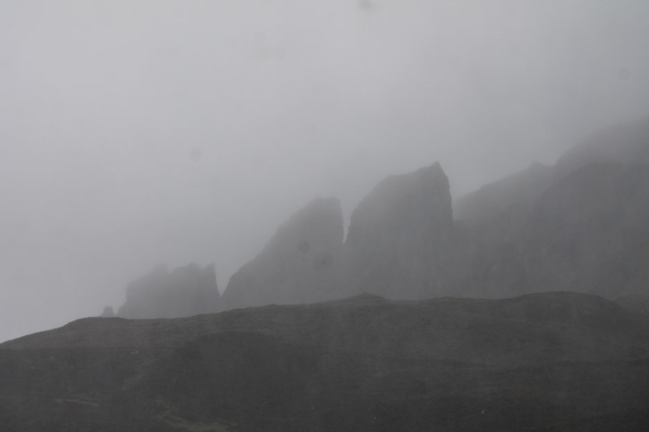
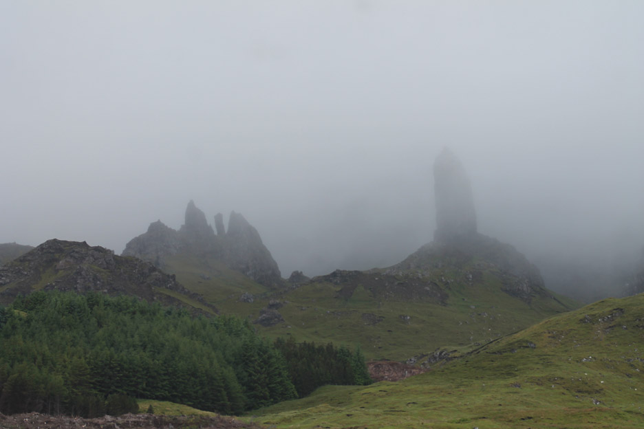
The Old Man of Storr as we drove back. That rain shower has resulted in a lowering of the cloud base and the rock pinnacle is only just visible. - - - o o o - - -
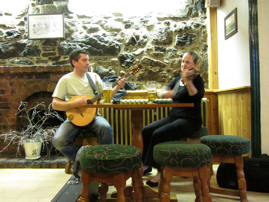
In the evenings we enjoyed a meal out on Portree and then went in search of a little local live music at the village of Edinbane. Annabel and Seamus, hotel proprietor and one of her colleagues, were rather good at creating just that.
Click to start the three minute video . . . and then sit back and enjoy the music. ( Click on the YouTube full-screen logo to see a larger version of the picture ) - - - o o o - - - Tomorrow will be our last full day of the holiday . . . so we better get back for a little sleep. |
- - - o o o - - - Technical note: Pictures taken with either Ann's Canon Sureshot SX220 or my Canon 1100D Digital SLR Camera. Resized in Photoshop, and built up on a Dreamweaver web builder. This site best viewed with . . . . a little local information and a map to get you round.
Email me here # © RmH # Go to Home page
|