![]()

Remember: Press F11 for a full
screen view of this page.
|
|
|
Remember: Press F11 for a full
screen view of this page. |
| " St Bees Colourful Coast " Date & start time: Friday 19th April 2013, 3.40 pm start. ( NX 955 148 ) Location of Start : The Radio Mast, Hannah Moor Lane, St Bees, Cumbria, Uk. Places visited : Tarnflatt Hall Farm, St Bees Lighthouse, North Head and back along the cliffs. Walk details : 2.5 mls, 525 ft of ascent, 1 hour 18 mins. Highest point : At radio mast, 400 ft - 126m. Walked with : Ann and the dogs, Harry and Bethan. Weather : Sunshine and blue skies . . . yes ! |
" St Bees Colourful Coast " at EveryTrail [ Alter the settings to zoom or change the Map, use Everytrail to download the Gps route ] |
|
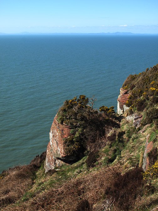
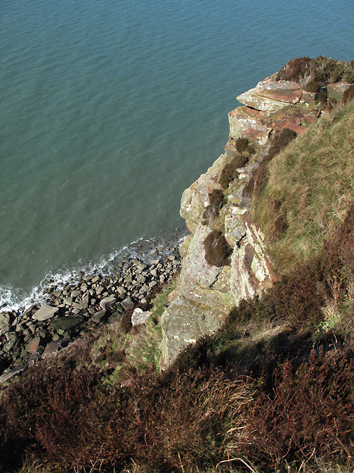
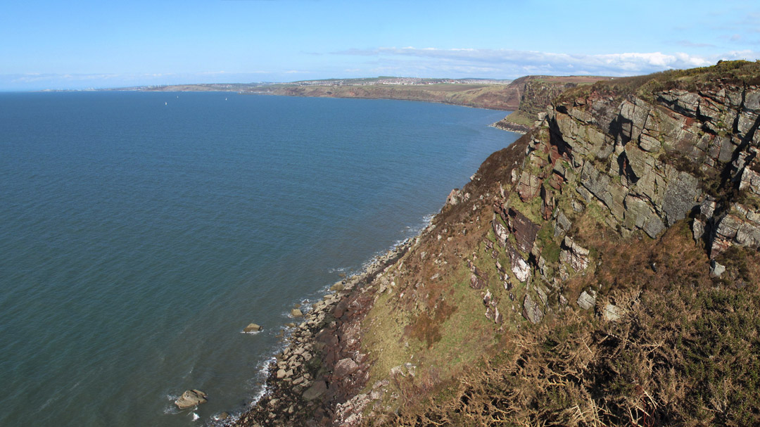
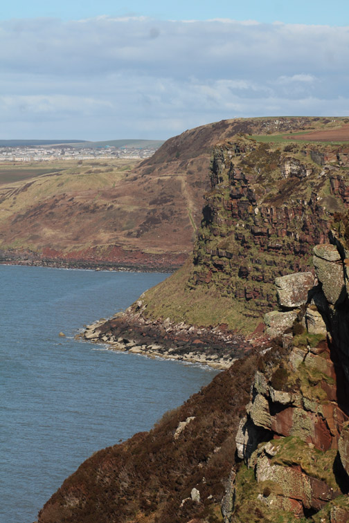
The section of the coast path from St Bees to Whitehaven is renowned for the colour of the farm fields, the sea cliffs and of the sea itself. We walk part of it on a short, slightly circular outing to the Lighthouse and back along the cliffs.
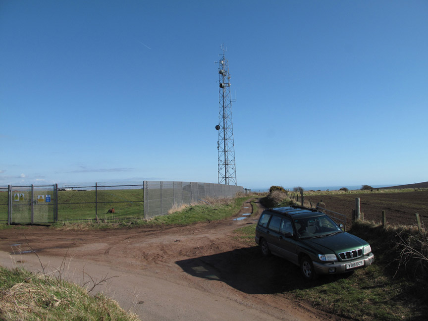
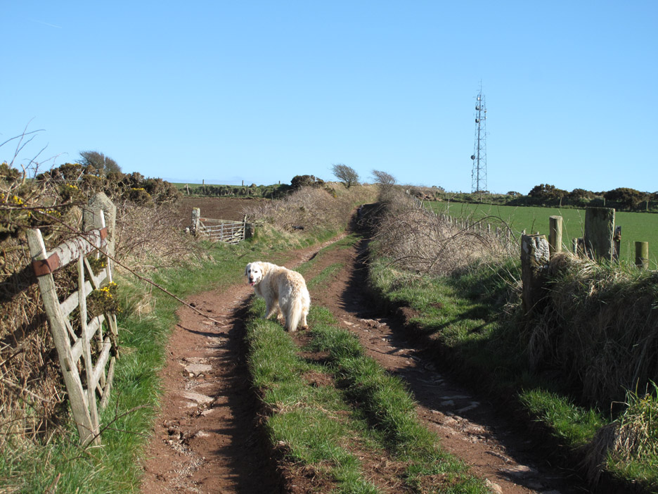
Parking off road at the radio mast . . . the highest part of St Bees Head . . . hence the radio mast ! From the arrangement of aerials it would appear to bounce signals up and down the coast, though it is probably aiming at the Isle of Man too.
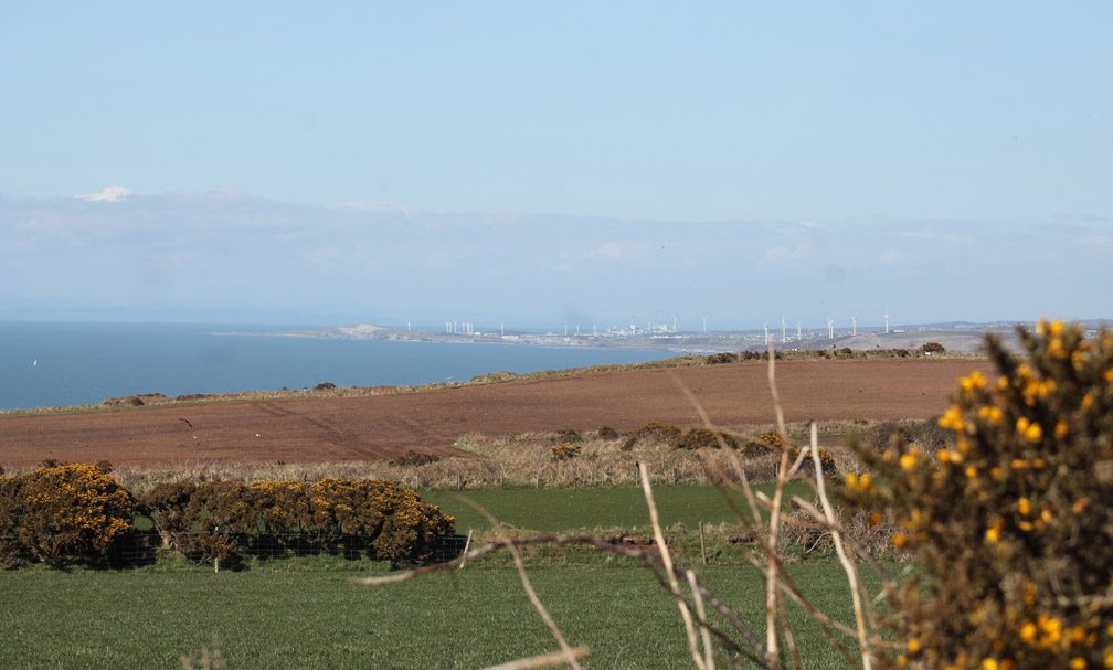
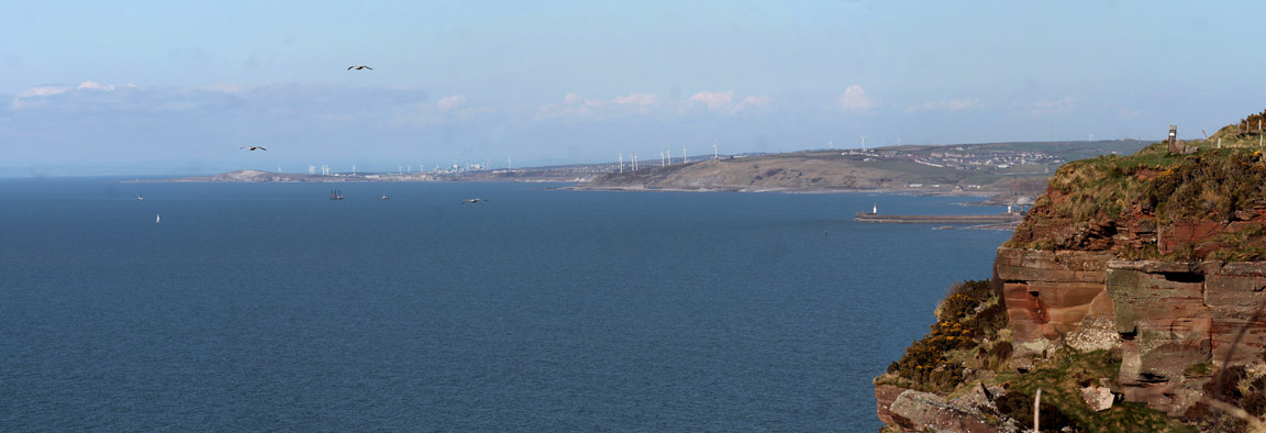
The wind farms and industry of the Workington and Whitehaven coast are to the north as we walk down the road towards the farm.
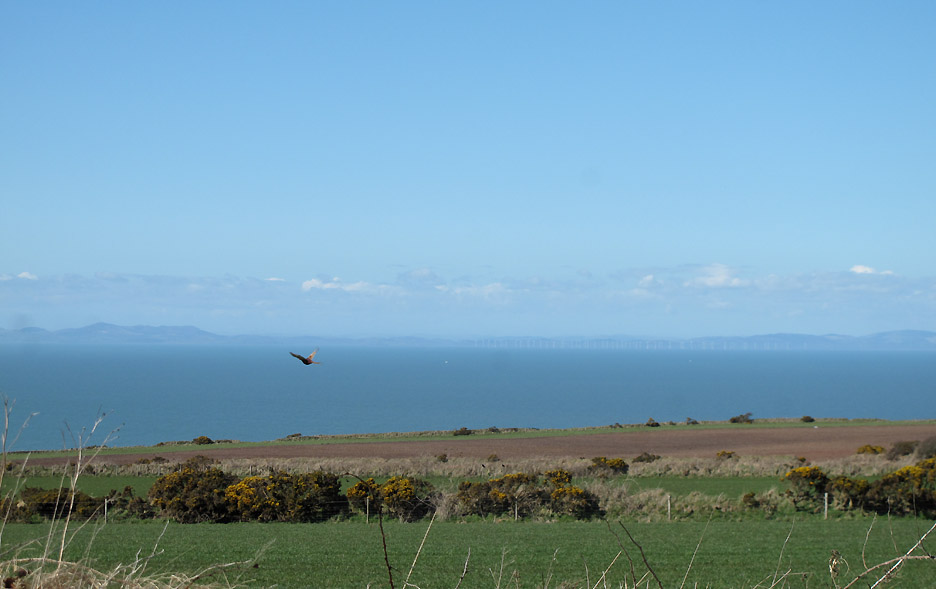
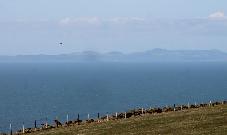
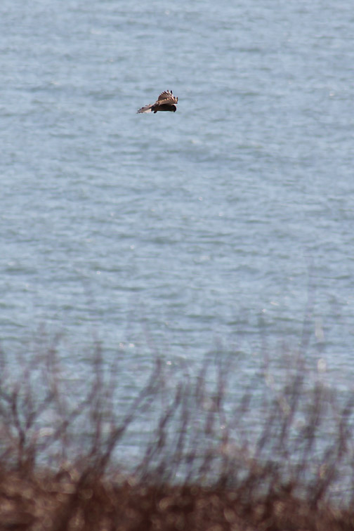
Scotland is clear today . . . as is that kestrel that is hovering in the breeze.
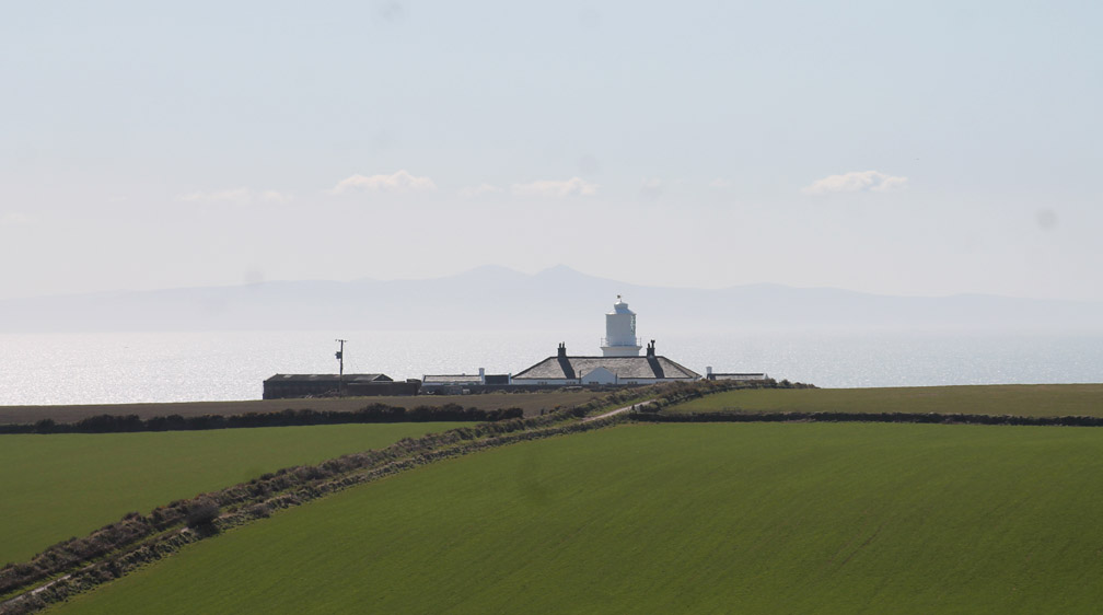
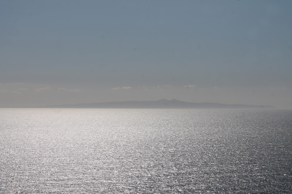
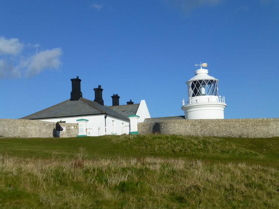
Looking across at the lighthouse . . . which has a backdrop of a rather hazy Isle of Man.
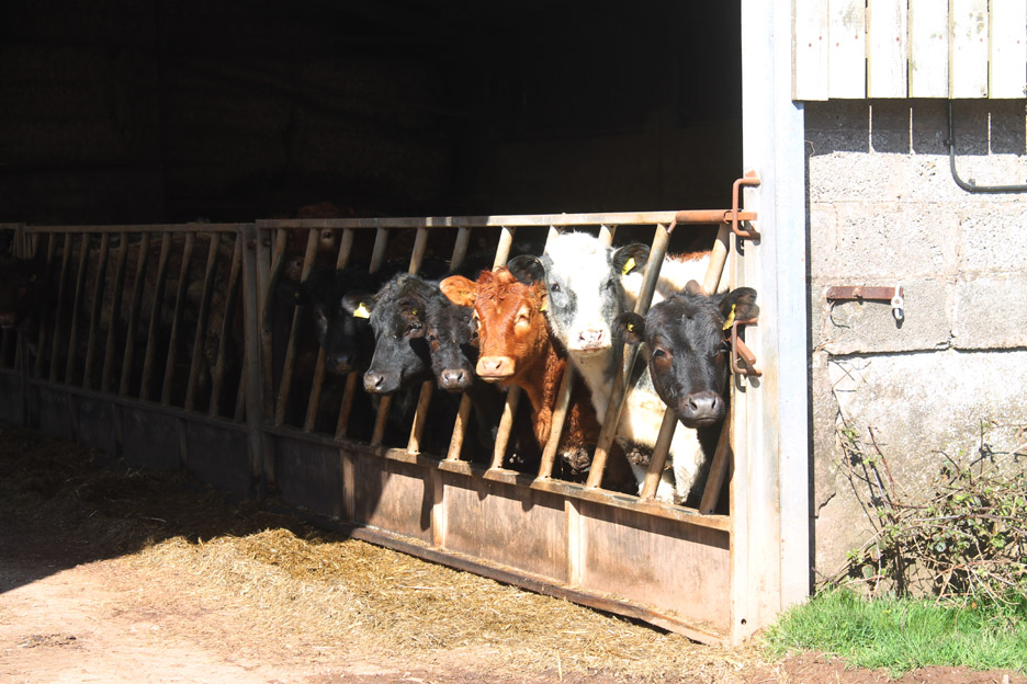
Tarnflatt Hall Farm residents.
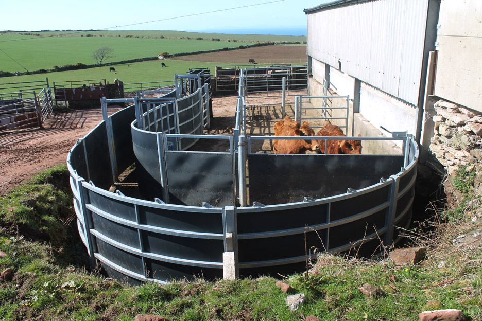
New cattle pens alongside the barn . . . the circular arrangement is to facilitate moving cattle into the "crush" at the end should they need to be checked out by the farmer or vet.
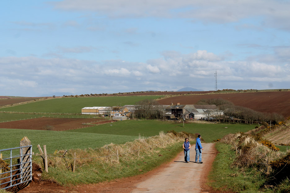
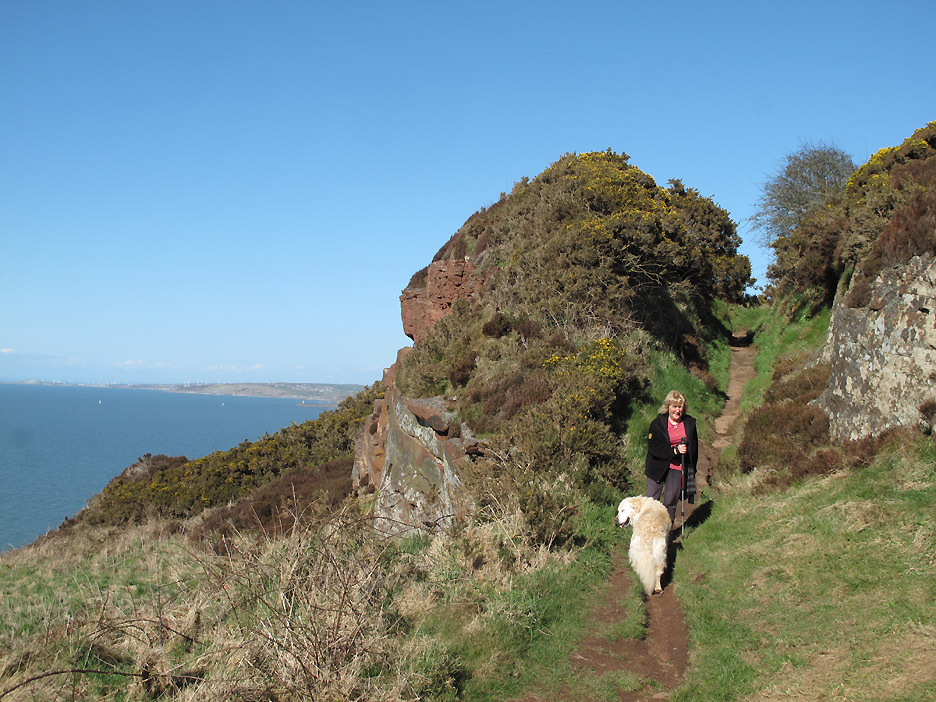
Looking back at the farm as another couple follow us down. What is really striking is the rich green colour of the fields . . . compared to the brown winter-like grass closer to home. 'Home' is in the distance amongst the fell tops peeking over the horizon.
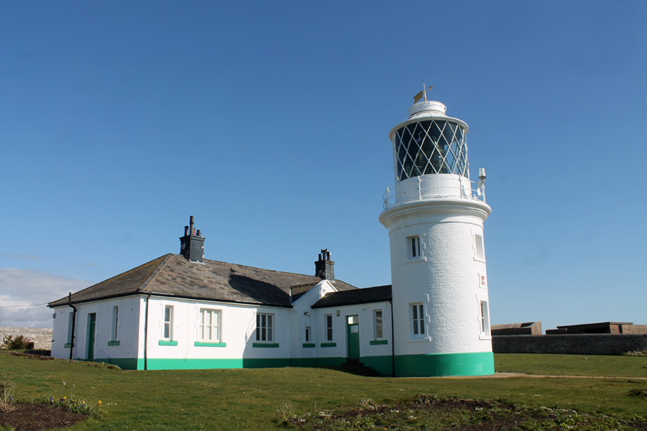
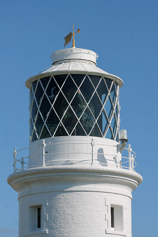
Is it just the fine day or is the lighthouse looking newly painted . . . can't decide. If you're after the detail of this famous light, click on the Trinity House site here
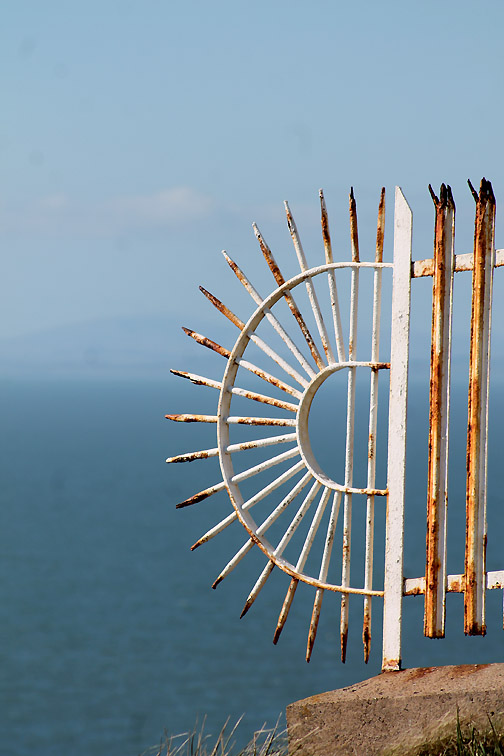
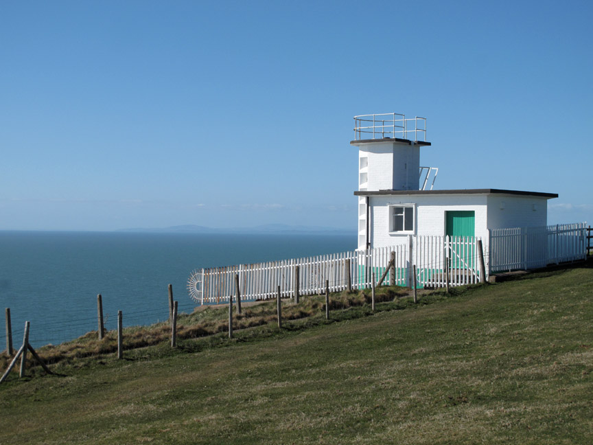
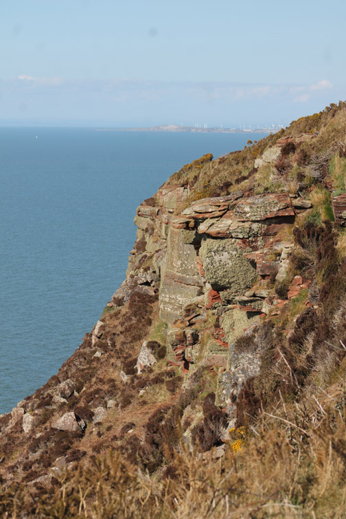
Actually the fence was here on the old fog horn and lookout building down by the cliff edge. Anyone trying to get around those spikes will be dangling over the 300ft cliff edge !
The hills of Dumfries and Galloway across the Solway Firth . . . and that kestrel is back again.
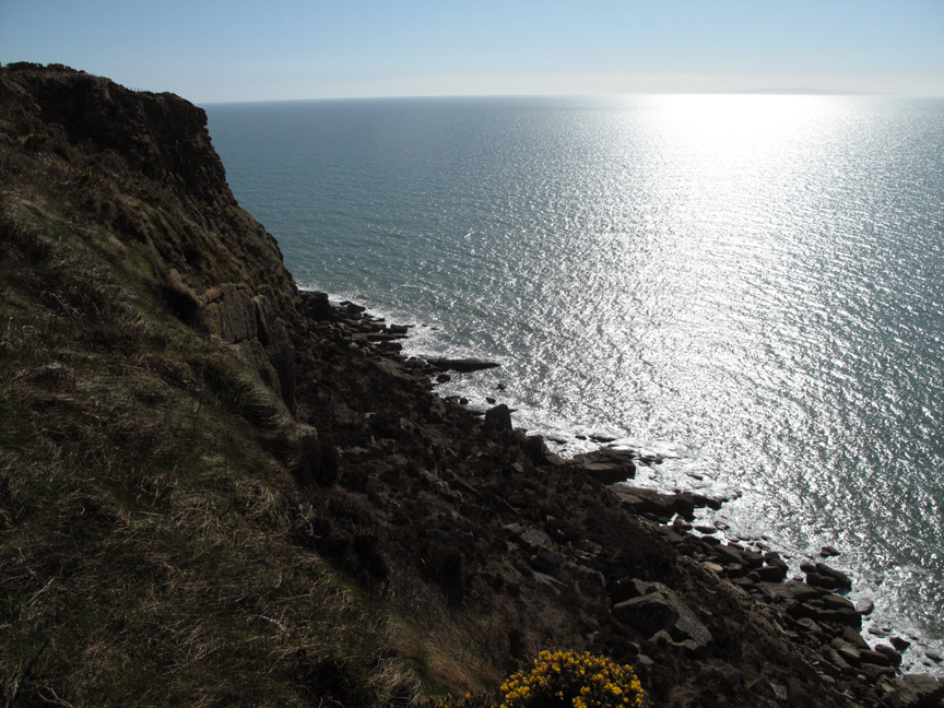
We're taking the route around the northern head . . . which means the Isle of Man is out there in the sun's reflective sheen.
A closer view now . . . lots of sea but I see no ships !
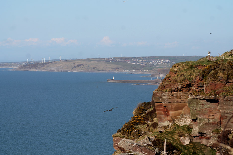
As the path continues around the headland the views across to Whitehaven and Workington come back into view. In its day Whitehaven was the second most important port for the American shipping trade and the heritage of Rum, slavery and Paul Jones are inextricably linked through the towns history and now its museums.
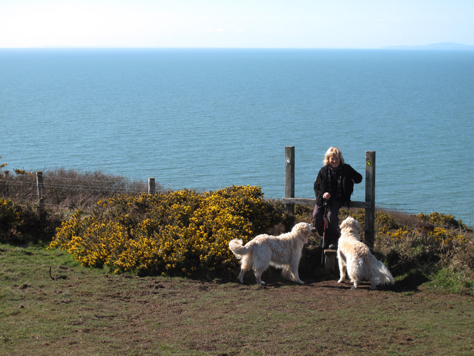
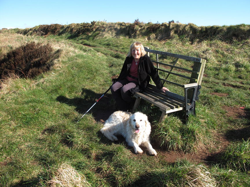
Ann find a dog magnet in her pocket . . . what a treat.
Here the path leaves the edge slightly, to pass through a deep cleft in the rock.
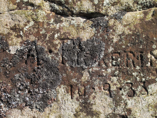
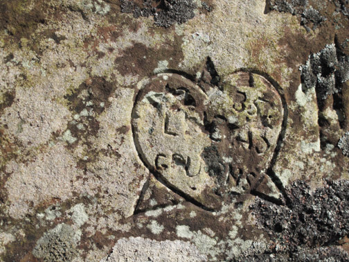
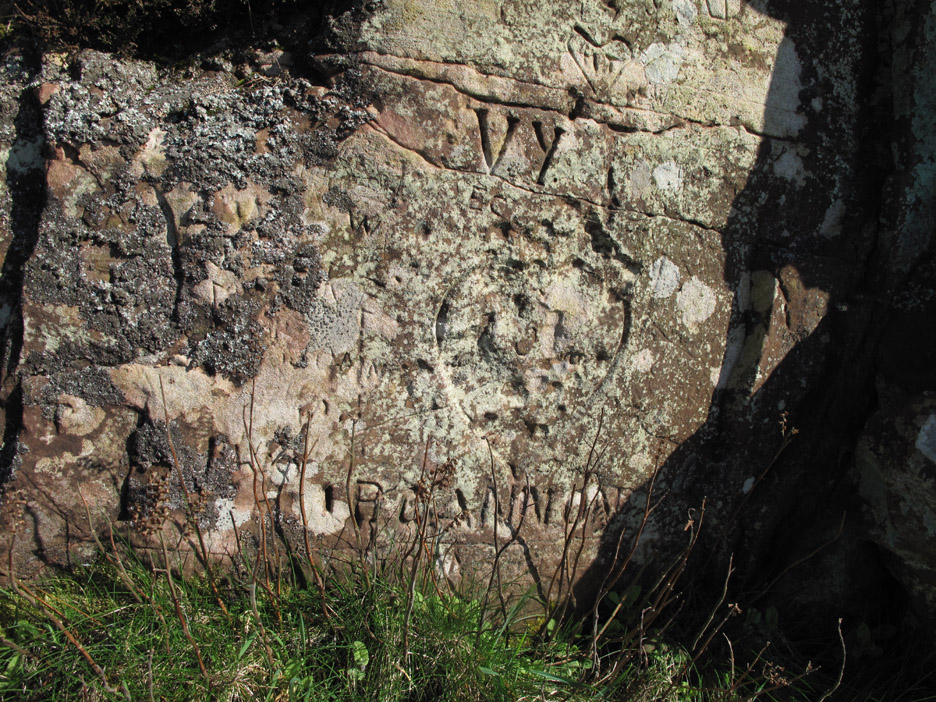
The exposed rock has been engraved to record the visits of old . . . graffiti 19th/20th century style.
More detail masked by the passage of time . . . and the lichen.
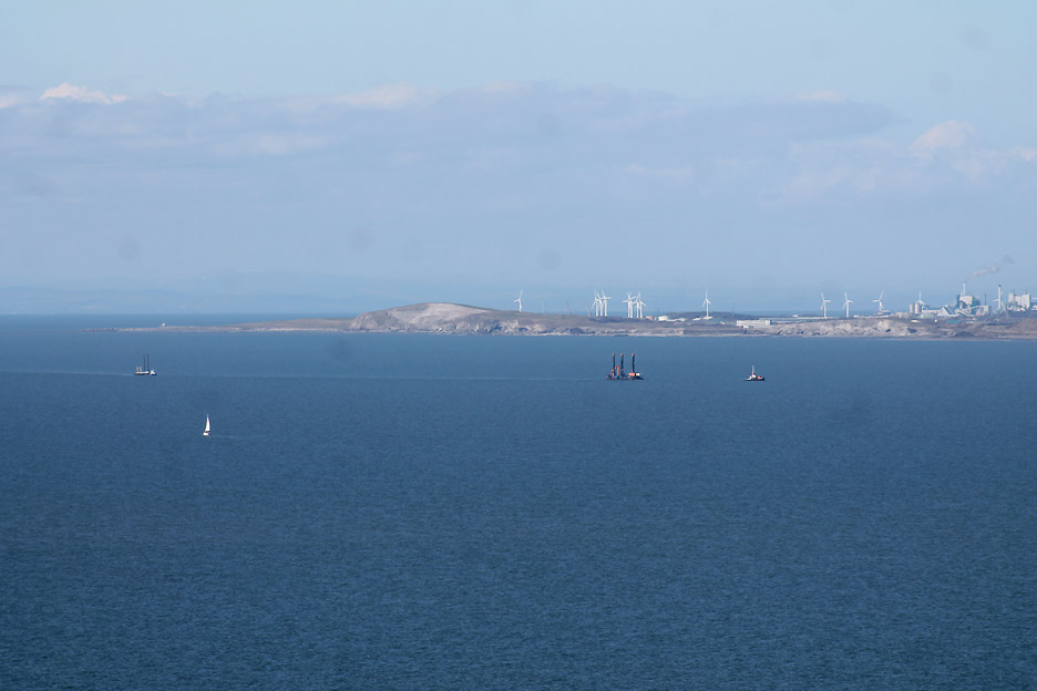
Out to sea . . . two unusual boats are entering port. They will be drilling and maintenance rigs from the Robin Rigg wind farm out there in the Solway.
The two rigs are being towed towards Whitehaven harbour.
Time, well at least a short time, to relax on this rather cobbled-together seat which is part wooden, part cast iron. Can't stay too long as we are out to see Rogue Herries at the theatre tonight.
One last look at the view before we head back to the car.
We leave the coast and head back inland to the radio mast.
The footpath develops into a farm lane and we're almost there. To read more of the full coastal walk click on "Colourful Coast" - - - o o o - - - STOP PRESS: A couple of interesting responses from Loweswatercam viewers tonight . . .
- - - o o o - - - |
Technical note: Pictures taken with either my Canon G10 or 1100D SLR digital cameras. Resized in Photoshop, and built up on a Dreamweaver web builder. This site best viewed with . . . more seabirds, puffins, guillemots and those nice penguins with silver wrappers on ... Mmmm. Go to Top . . . © RmH . . . Email me here Previous walk - 15th April 2013 - Rannerdale Knotts with Nick and Sue A previous time up here - Thursday 25th June 2009 A St Bees Sunset Walk Next walk - 20th April 2013 - Red Pike and Pillar
|