![]()

Remember: Press F11 for a full
screen view of this page.
|
|
|
Remember: Press F11 for a full
screen view of this page. |
| " To Sweden with Two Pikes " Date & start time: Tuesday 19th February 2013, 11.45 am start. Location of Start : Roadside (free) parking in Ambleside, Cumbria, Uk ( NY 378 047 ) Places visited : Low Sweden Bridge, Low Pike, High Pike, High Sweden Bridge, Ambleside. Walk details : 7 mls, 2100 ft of ascent, 5 hours 35 mins. Highest point : High Pike 2,155ft - 656m Walked with : Ann and the dogs, Harry and Bethan. Weather : A beautiful, calm, sunny winter's day. |
" To Sweden with Two Pikes " at EveryTrail [ Alter the settings to zoom or change the Map, use Everytrail to download the Gps route ] |
|
Off to Ambleside to climb two peaks that we haven't been up for a very long time. The sun is shining and the air is clear . . . it's a beautiful winter's day. Two people, two dogs, two summits and two bridges . . . today !
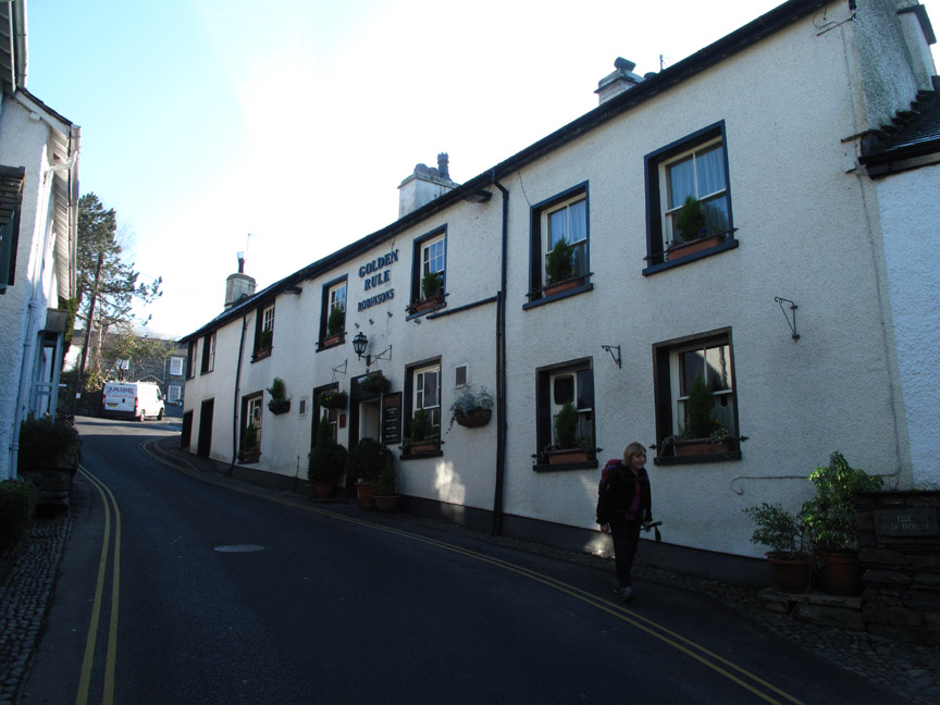
We parked a little further up "The Struggle", close to what would be the end of the walk and then walked down passed the Golden Rule to take the road to Low Sweden Bridge, our first objective.
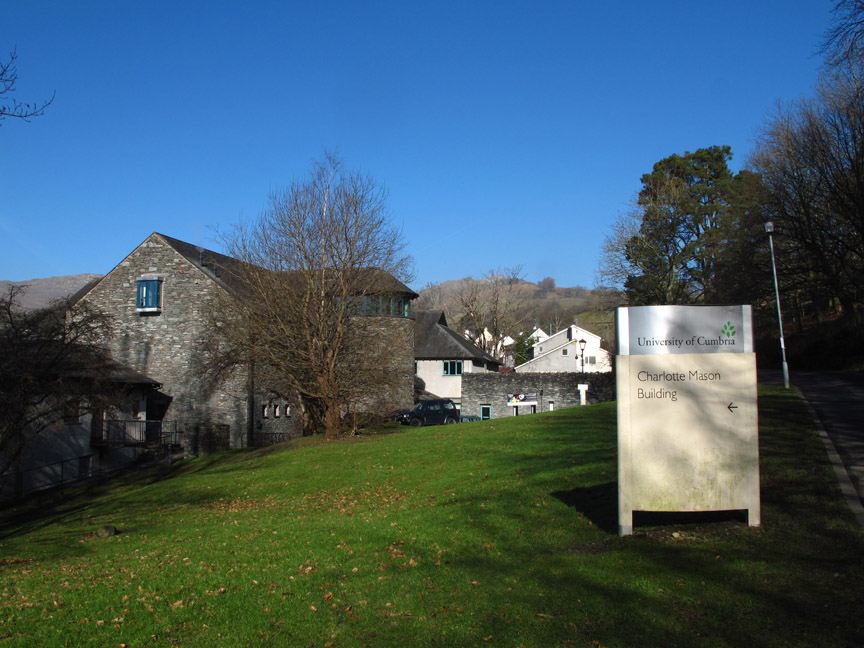
This interesting building is usually seen from the main road.
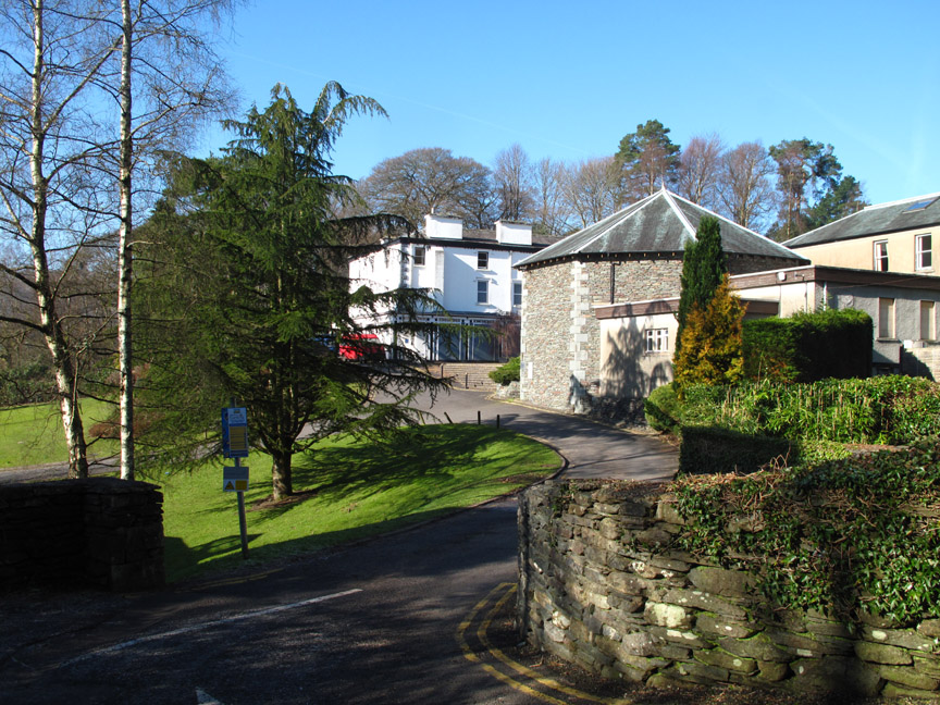
It is part of the University of Cumbria's Charlotte Mason Campus. We walk up the road heading for Nook End Farm.
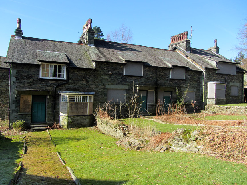
On the way we pass these boarded up houses which in an area like Ambleside was quite strange. I can but presume they are something to do with the college. Too expensive to fill, too valuable to let go ?
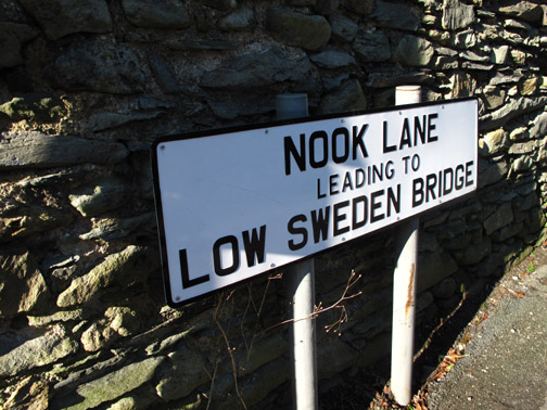
Low Sweden did however lead us out onto the fells . . .
Farmland at first as grass replaces tarmac and gardens.
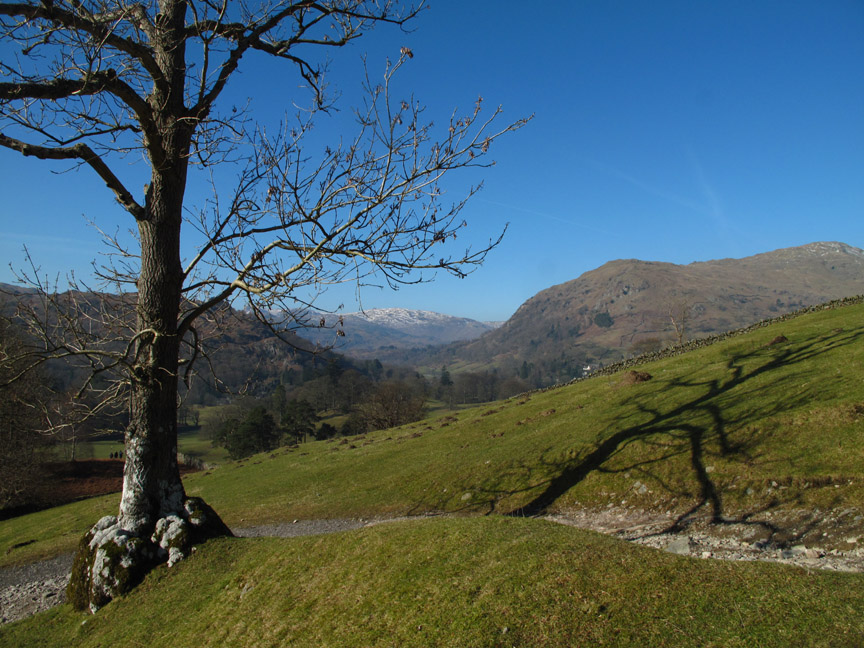
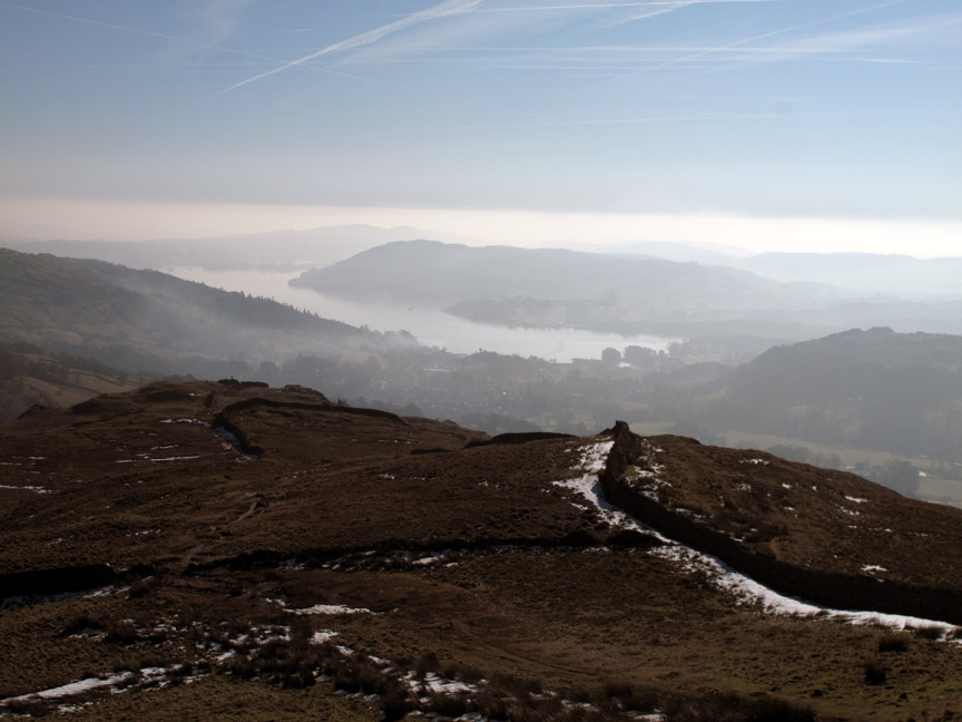
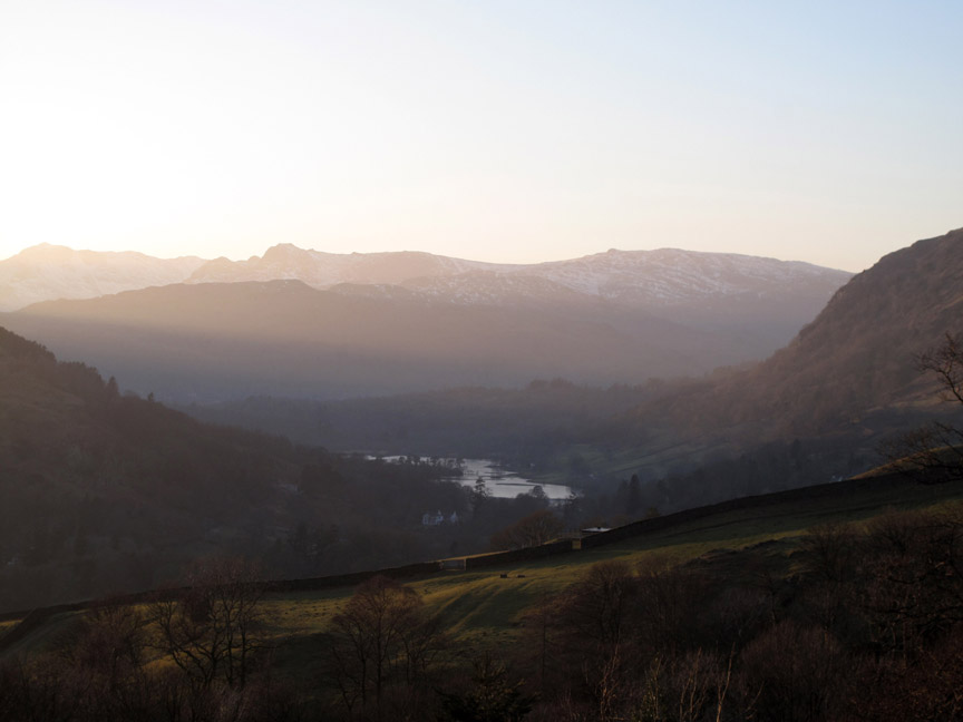
The view down to frozen Rydal Water improved as we climbed.
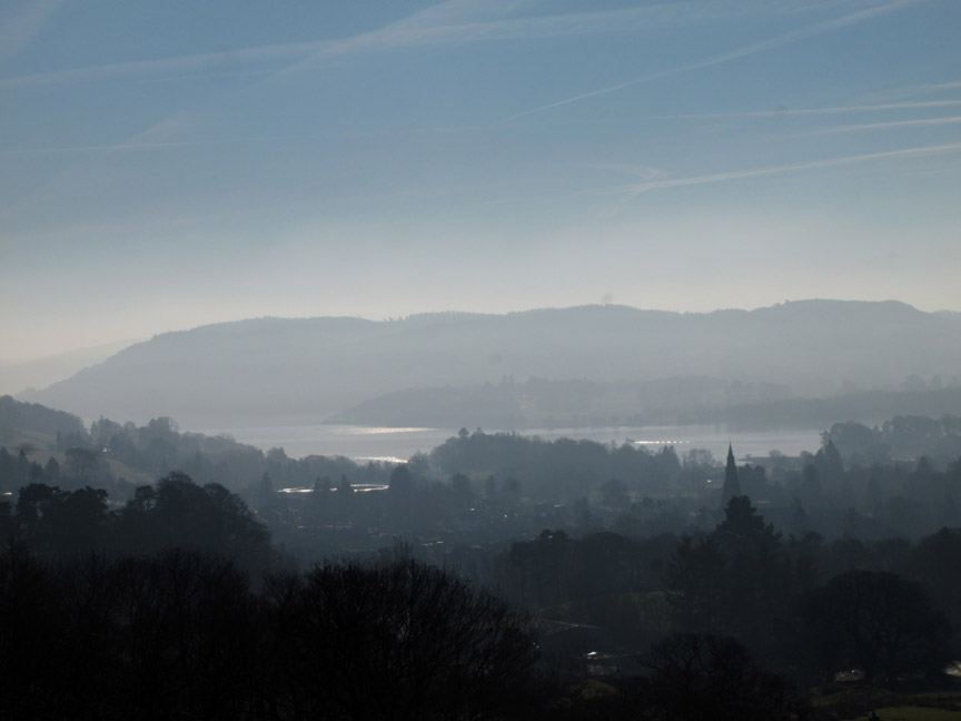
Views of Windermere just seemed to get hazier as we climbed.
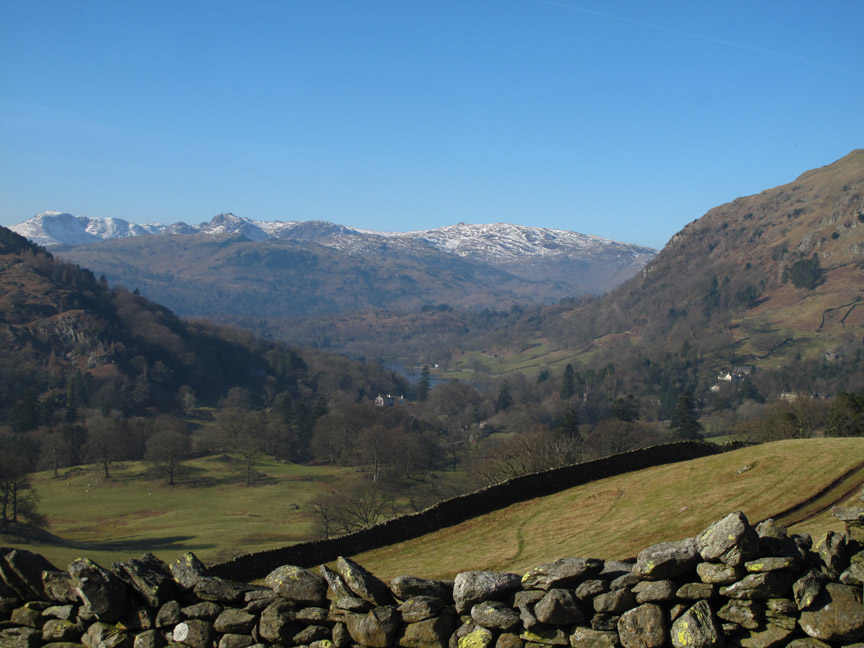
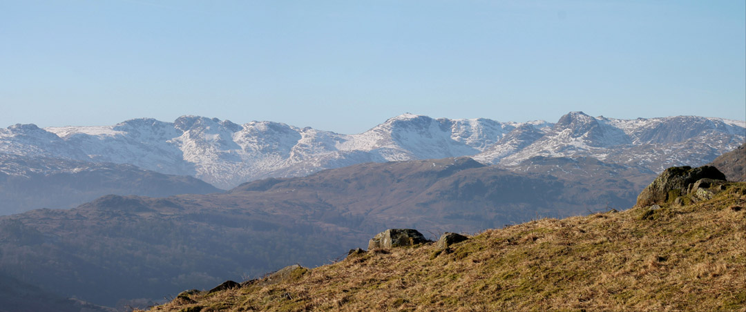
The high fells were clear of the valley haze which was nice. These are the Coniston / Wetherlam fells seen across Silver How.
Name those fells . . . take a quick at the skyline and it's easy . . . take a longer look and perhaps you may doubt your judgment. The ones on the right seem straight forward . . . but there shouldn't be that many summits on that ridge, . . . and some don't look the right shape anyway ! Hold your cursor over the picture to get the answers.
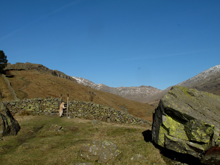
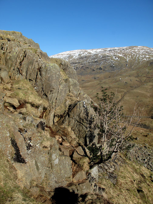
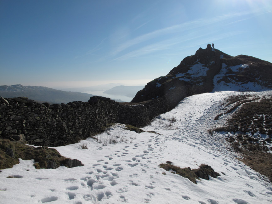
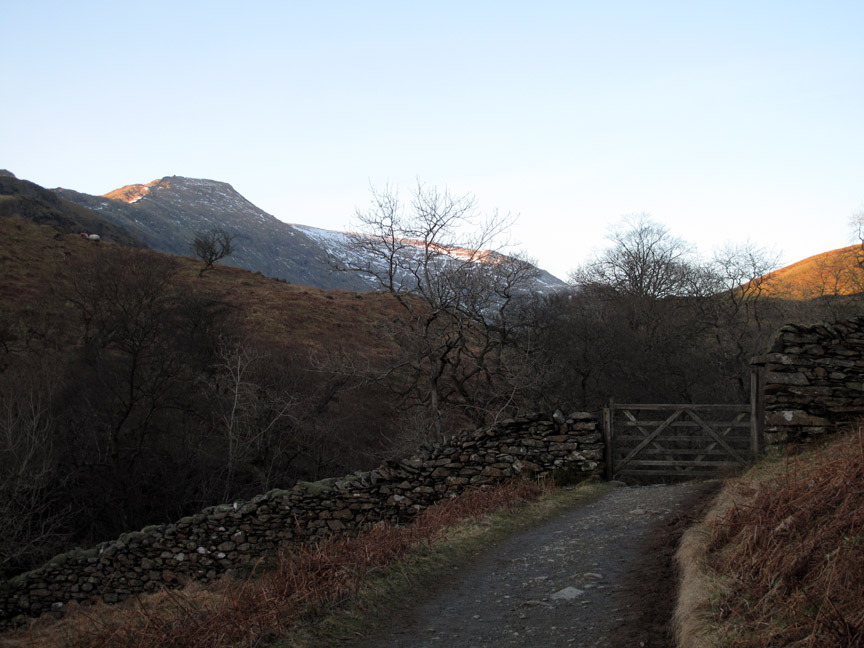
Out onto the open fell at the ladder stile. The unusual name of the bridges is matched by the name of the crags ahead . . . Sweden Crags.
Above the short set of crags is a flatter area with its attendant problem of bog ! Unusually a sign points out the danger in words of one syllable . . . DEEP BOG.
It was frozen so navigation of the DEEP BOG was no problem . . . and we continue on up.
Low Pike . . . The Big 200. Hey folks, Ann pointed out the fact (she makes an active note of these things) that this is our 200th Wainwright summit, 200th of 214 of our third round that is . . . which makes it our 628th unique visit to a summit listed in the Wainwright Lakeland Pictorial guides. It's a good job I did sums at school.
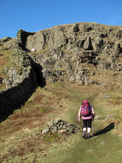
The summit cairn is on the narrow side of the wall so we cross through a gap and continue on the western side for a change.
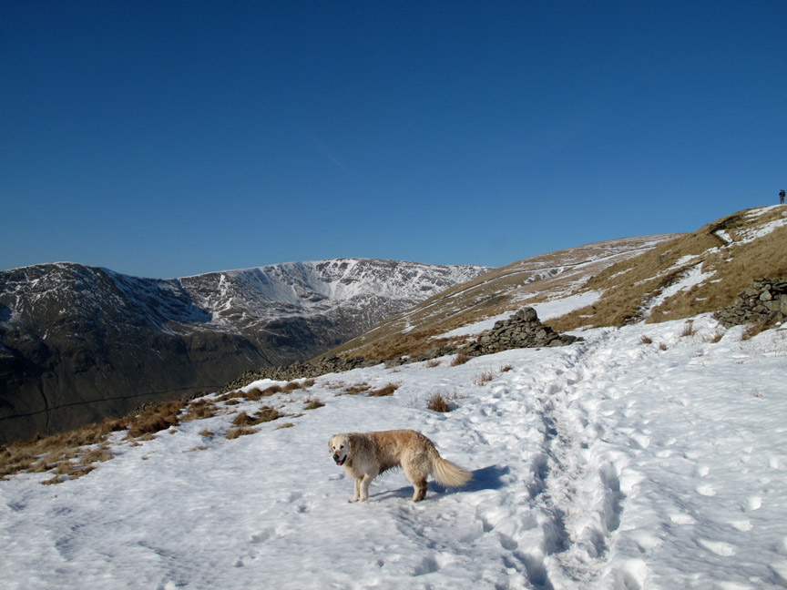
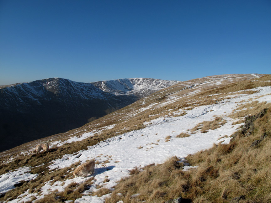
We're into the snow now, albeit what remains of the deep drifts that once graced this wall. Interestingly the Southern Lakes had more snow this last week as the weather was blown in on the cold south easterlies. When the snow travels down on a northerly wind, the northern Lakes usually get more.
Harry crosses another patch of open snow. It has a frozen crust due to the cold weather so you can walk on it if you don't weigh too much.
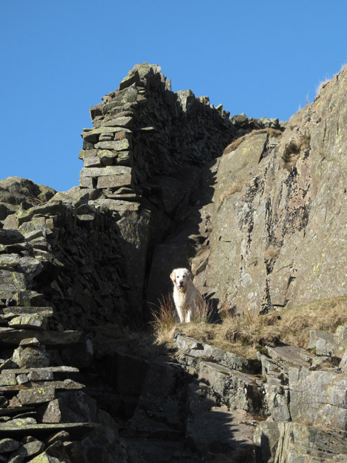
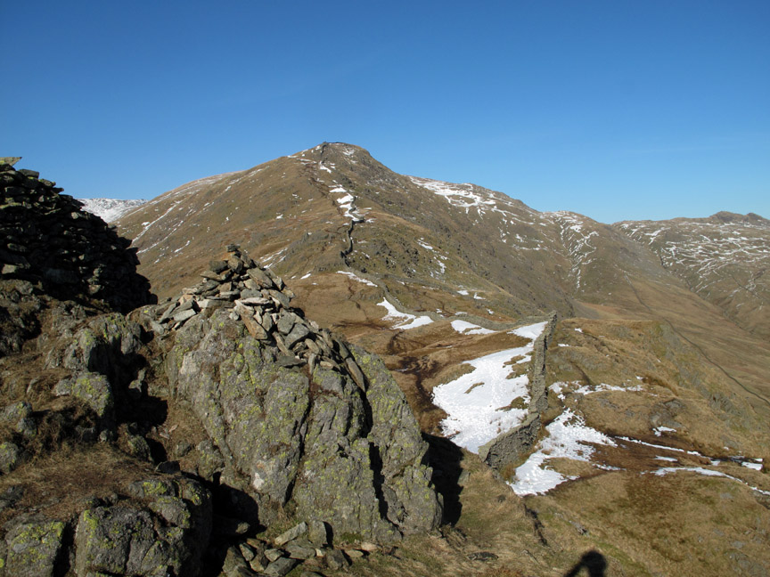
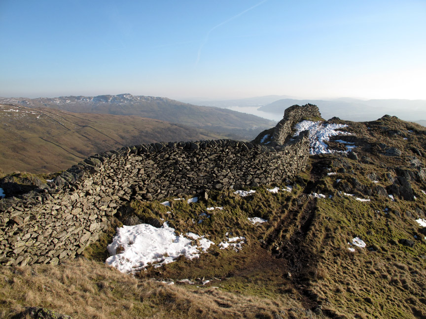
At the top of the next rise, another gap in the wall leads across to High Pike summit.
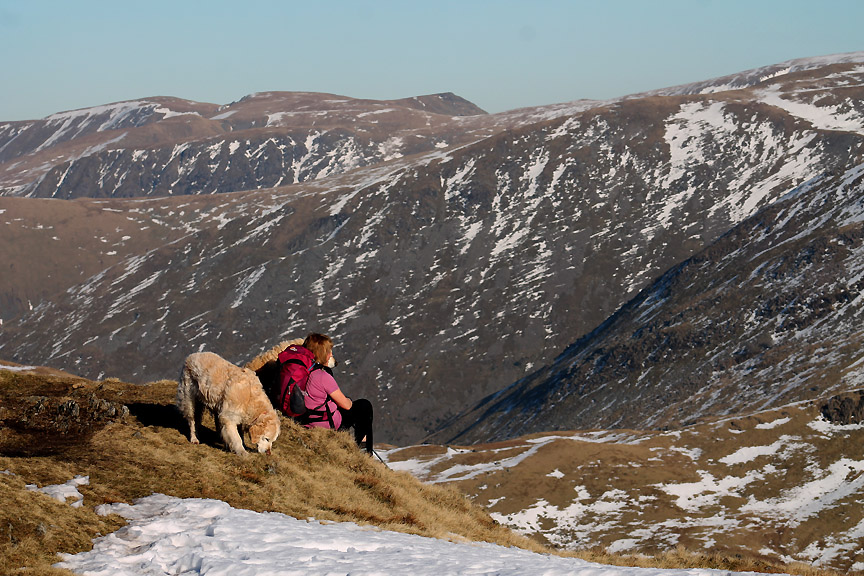
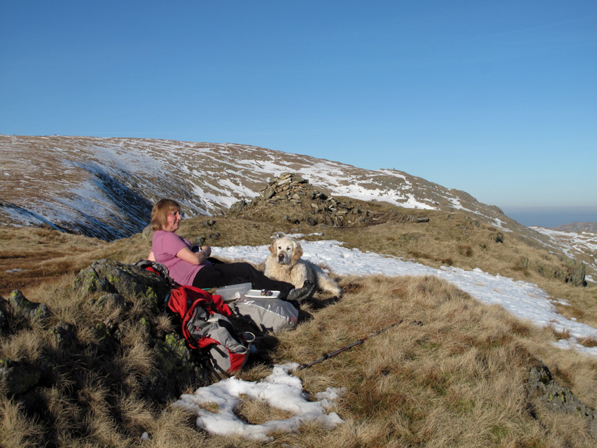
The second of our two summits today. Ann enjoys a sit down to take in the view . . . Red Screes, Middle Dodd, Caudale Moor across to the triangular Stoney Cove Pike.
The sunshine was lovely so instead of finding a sheltered spot and putting on an extra layer we sat out in the sun in our tee-shirts and enjoyed the contents of the lunch box.
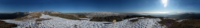
What a view ! Click here or on the photo above for a Loweswatercam 360 degree annotated panorama from lunchtime.
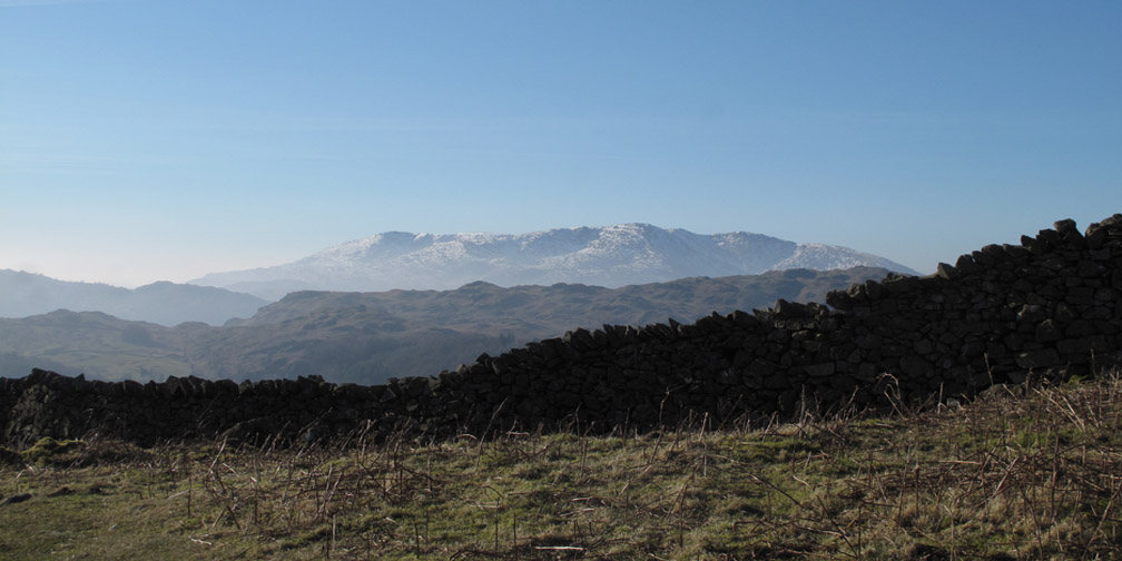
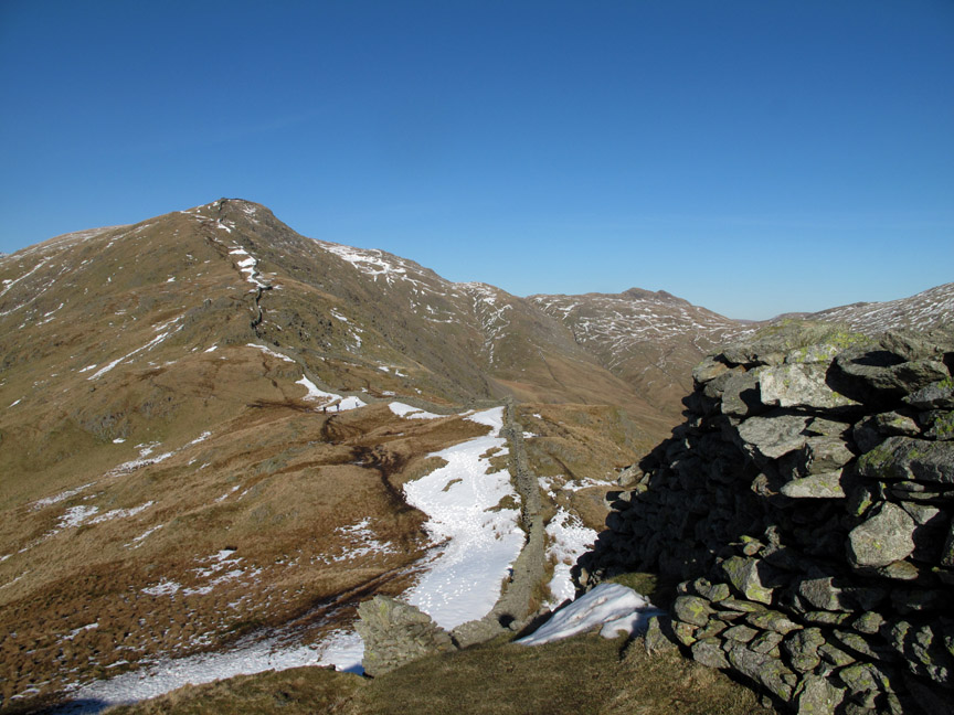
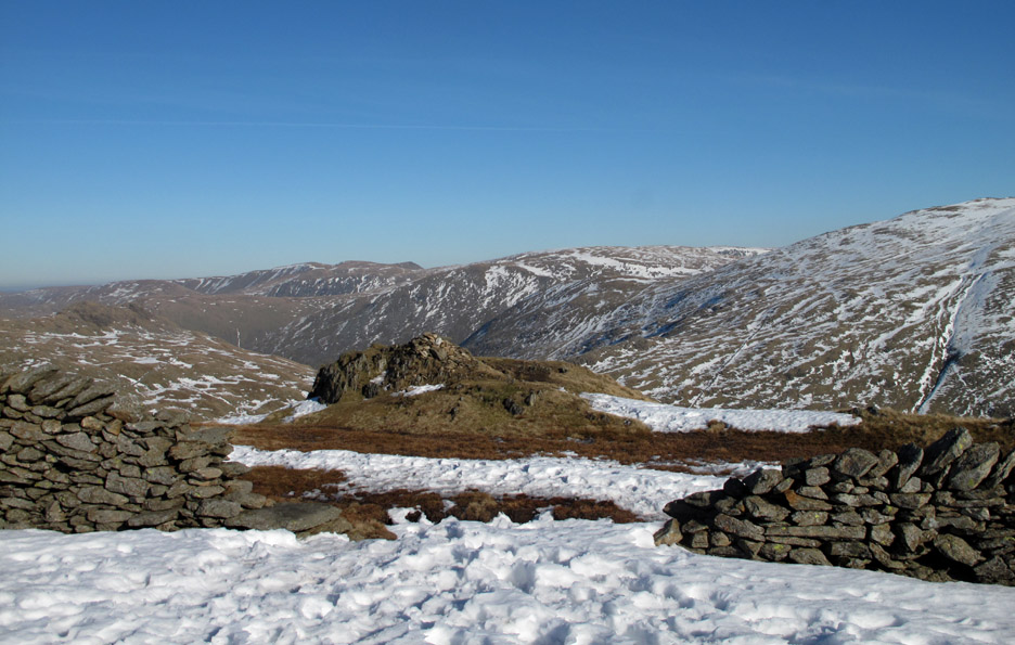
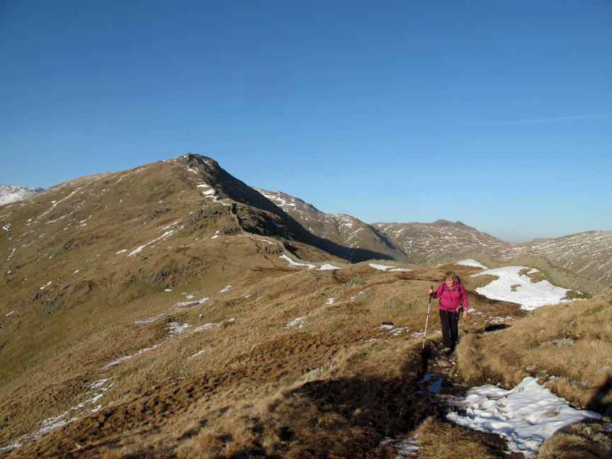
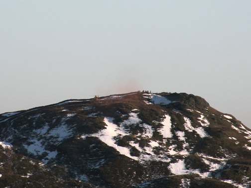
Up ahead was the large cairn on High Bakestone, a possible route home. We could walk across to it and down Scandale but it would add an hour to our journey.
Stick to plan A . . . and reverse our outward route, . . . but you would have known that if you checked out the map at the start.
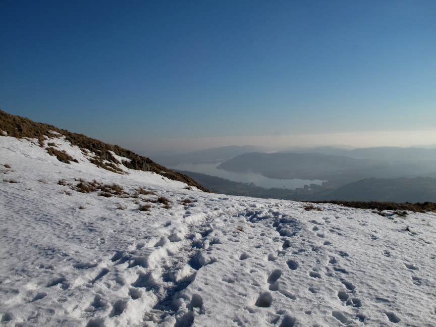
Back down over the snow patches with a view towards Windermere once again.
The snow was no problem . . . it could be avoided quite easily but what caught me out was the wet, freshly thawed grass and a slip and a slide meant I was drying out a wet backside at the time of this photo.
Route finding was easy . . . just follow the wall. In the photo above, the high ground in the distance is Wansfell.
Our path continued back down past Low Pike but we decided to take an alternative route back which involved a slight diversion.
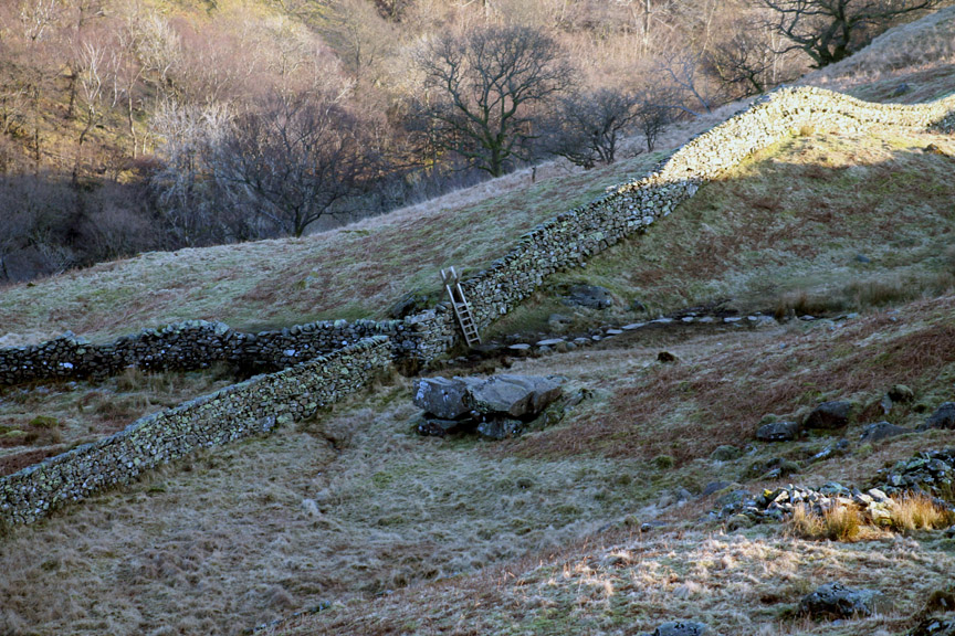
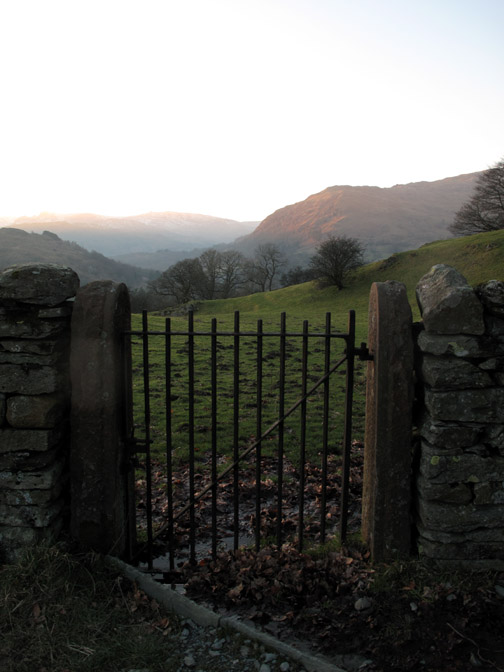
A left turn and down to a tall ladder stile led us down into the valley of Scandale.
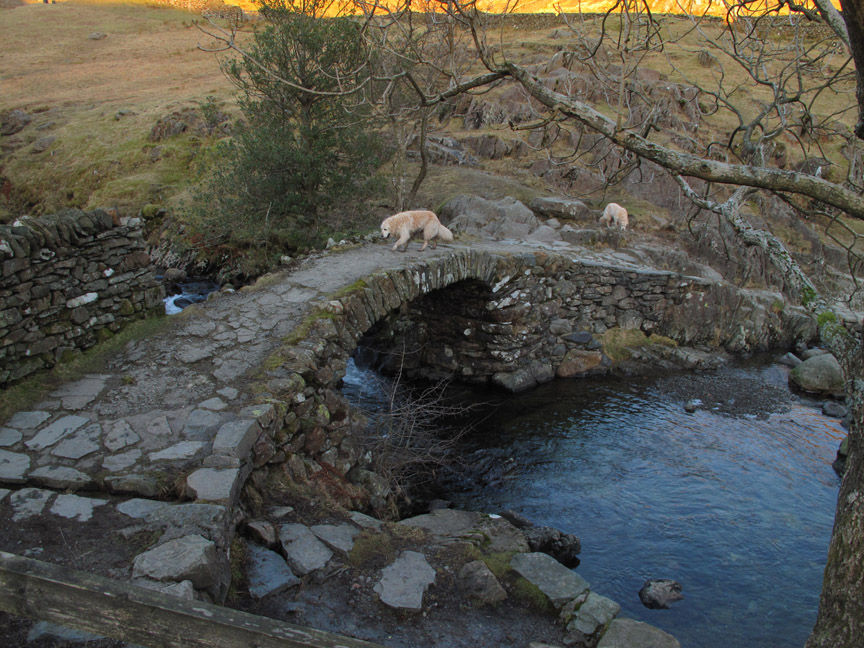
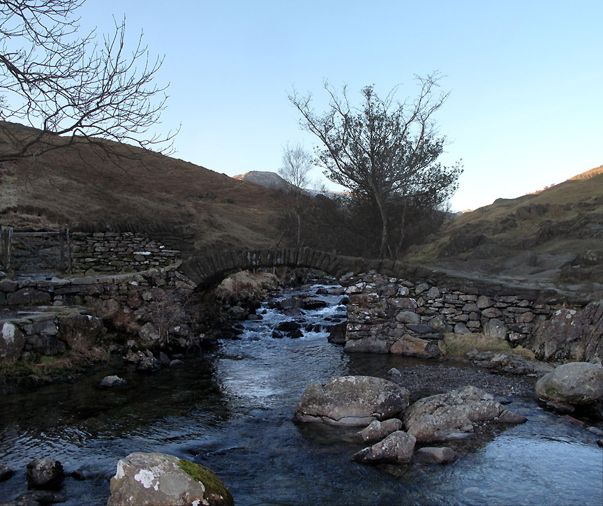
Arching over the waters of Scandale Beck was the old packhorse crossing which goes by the name of High Sweden Bridge.
A stone arch one layer deep is sufficiently strong, due to its method of construction, to take the path across the river. Known as a "pack horse" bridge because it has no side walls which could catch on the panniers of a loaded packhorse crossing the beck.
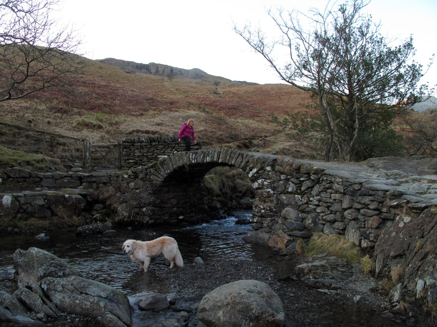
Ann easily across, I decided to go back for a second photo from the other side of the river.
The delicate nature of the design is evident when you get side-on to the structure. The summit in the distance by the way is High Pike, our lunch spot and turning point from today.
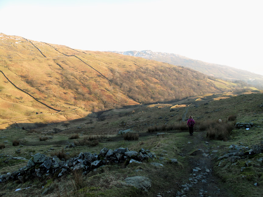
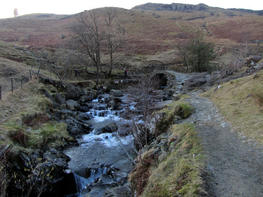
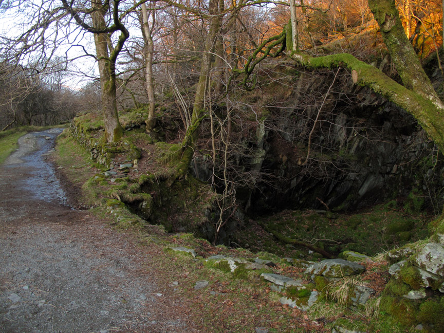
We now join the good track which makes its way down the other side of the valley.
One of the reasons for the track is that it provides access to the upper part of Scandale but the well-engineered nature of it is probably due to the presence of the old quarries that we passed along the way.
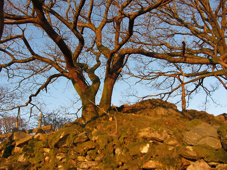
Time is moving along and the sun is moving with it. The low angle now brings wonderful late afternoon sunlight to the trees and walls alongside the track.
If we had continued on to Bakestones it would be getting dark by the time we reached here, so sticking to our original plan was a good idea.
Shafts of sun cross above Rydal Water as we return towards Ambleside. Our ascent route ran alongside the wall opposite.
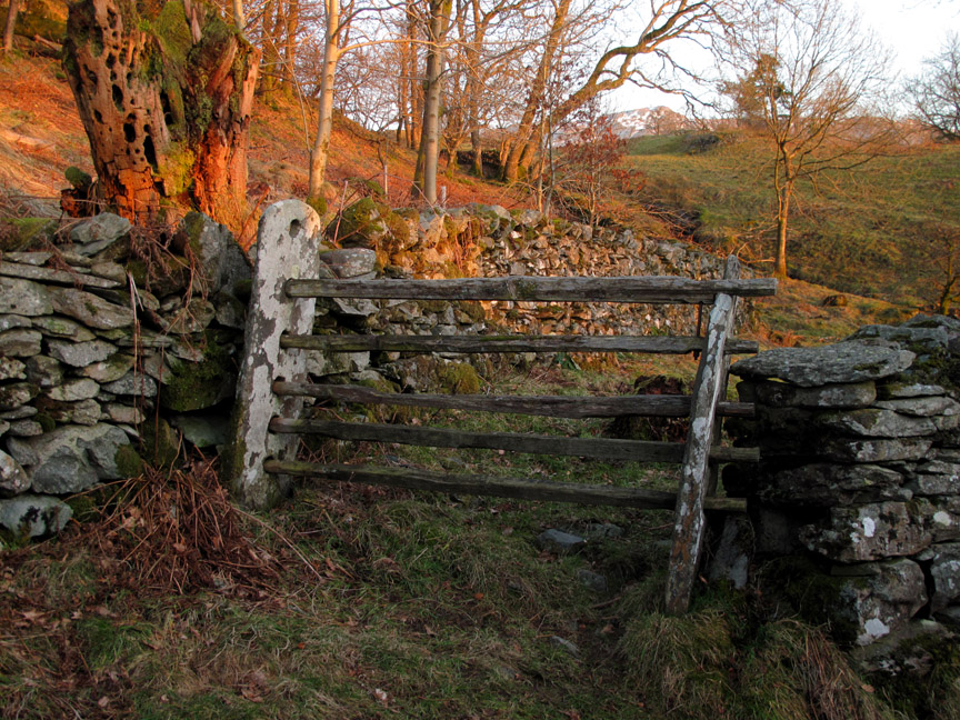
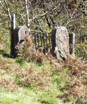
A fine old gate system . . . perhaps the true derivation of the expression " a five barred gate " If you see old field stones like this with large holes in . . . now you know how they were used.
Any ideas of their history ? The answer is most likely to be tied up with the Manchester Aqueduct taking water from Thirlmere to the Midlands. A slight flattening of the ground and a series of similar gate entrances in alignment across the next few fields implied that this is the track of the tunnel that carries the water south. The gates would have provided access during and after construction.
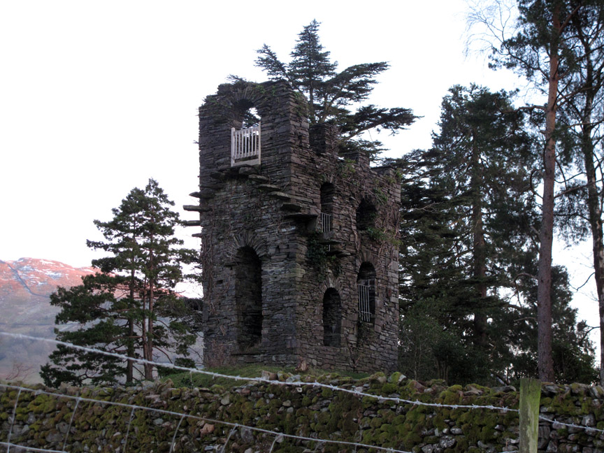
Just before we entered suburbia once more there was a rather fine folly set high on a rocky mound. It is not named on the map . . . anyone any ideas ?
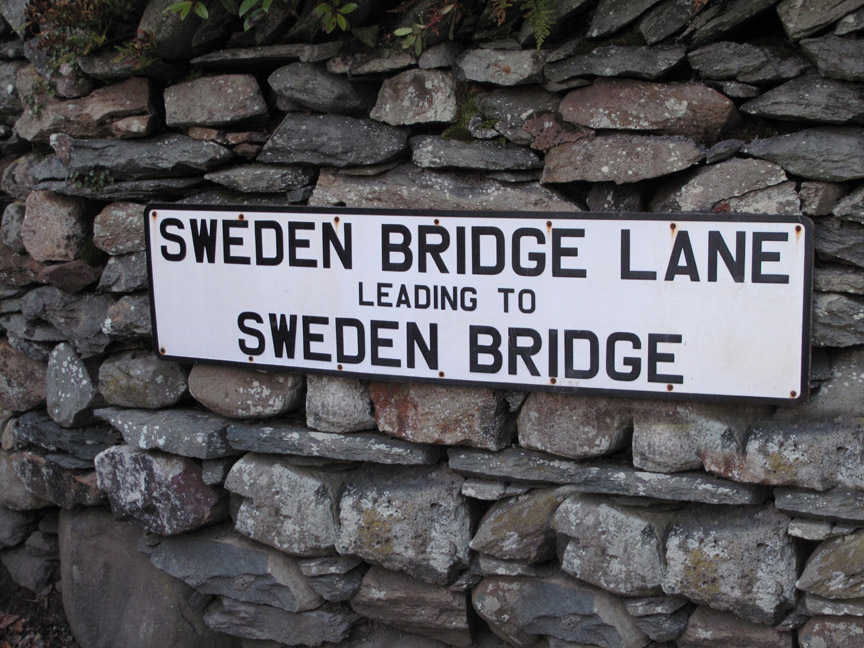
A short walk back down the lane brought us back to town and to the car at the end of the walk. - - - o o o - - - |
||||||||||||||||||||||||||||||||||||||||||
Technical note: Pictures taken with either Ann's Canon Sureshot SX220, my Canon G10 or 1100D SLR digital cameras. Resized in Photoshop, and built up on a Dreamweaver web builder. This site best viewed with . . . a day of warm winter sun. Go to Top . . . © RmH . . . Email me here Previous walk - 18th February 2013 - Ennerdale Ramble A previous time up here - 8th June 2006 The Fairfield Round on a hot summer's day Next walk - 25th February 2013 - Rannerdale Beck Falls
|