![]()

Remember: Press F11 for a full
screen view of this page.
|
|
|
Remember: Press F11 for a full
screen view of this page. |
| " Rannerdale Late On " Date & start time: 8th January 2013, 4 pm start. Location of Start : Hause Point car park, Rannerdale Valley, Cumbria Uk. ( NY 163 184 ) Places visited : Rannerdale Knotts from Hause Point Walk details : 1 mile, 750 ft of ascent, a brisk 50 minutes. Highest point : Rannerdale Knotts 1,160ft 355m Walked with : Myself and the dogs, Harry and Bethan. Weather : Clearing after a damp day. |
" Rannerdale Late On " at EveryTrail [ Alter the settings to zoom or change the Map, use Everytrail to download the Gps route ] |
|
Another dull weather day but the weather was set to improve and so the walk was delayed till well after lunch. Eventually the sky began to clear and it was time to catch a quick walk locally before the light faded. Touch and go on that as I had to get some boots on and then drive up the valley to Rannerdale.
The sky has started to clear and the visibility is improving all the time. No time to climb one of those high fells that have alluded us over the past month but Rannerdale looks inviting.
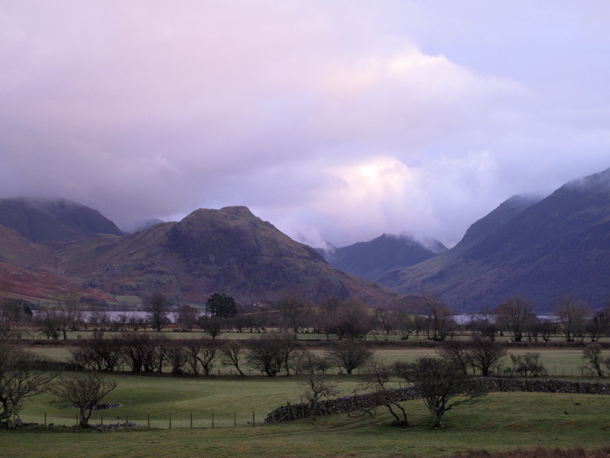
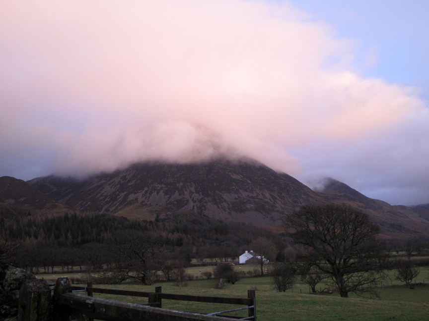
The cloud hadn't cleared over Grasmoor but the mid-afternoon light from the coast was casting a cheerful light onto the clouds which were rising by the minute.
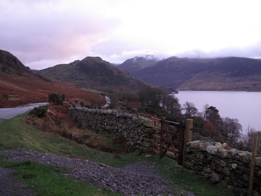
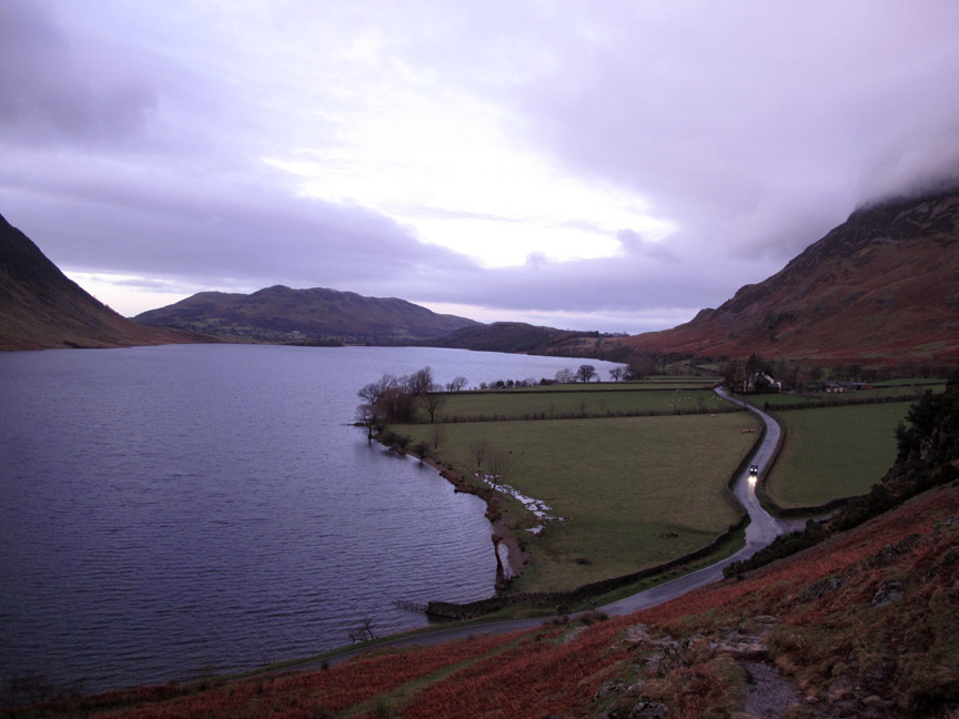
" A new gate on the block " . . . The politically correct have renewed the gate on the 'right of way' up from the lakeside but when we walk this way we prefer to stay on the clear lakeside path a few hundred yards longer and emerge on the road at Cinderdale.
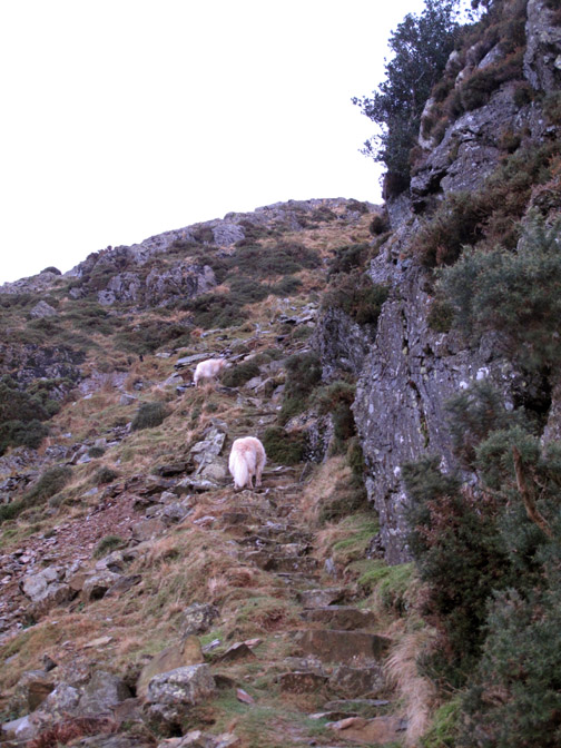
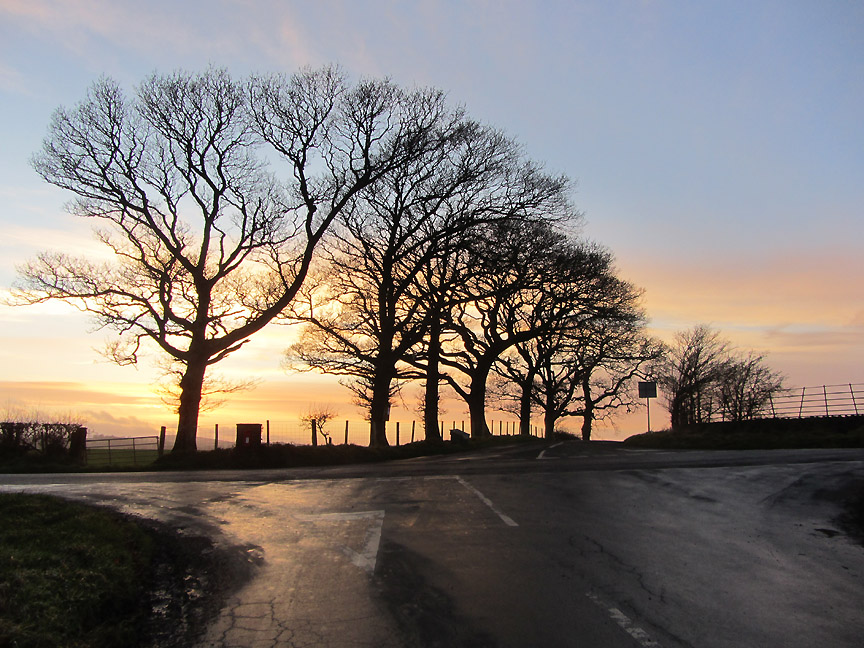
No complications today as the dogs and I climb up the footpath onto Hause Point. The lights on the passing vehicle serve to emphasise how late in the walking day four o'clock is at the moment.
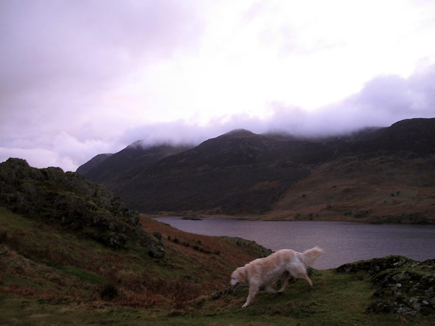
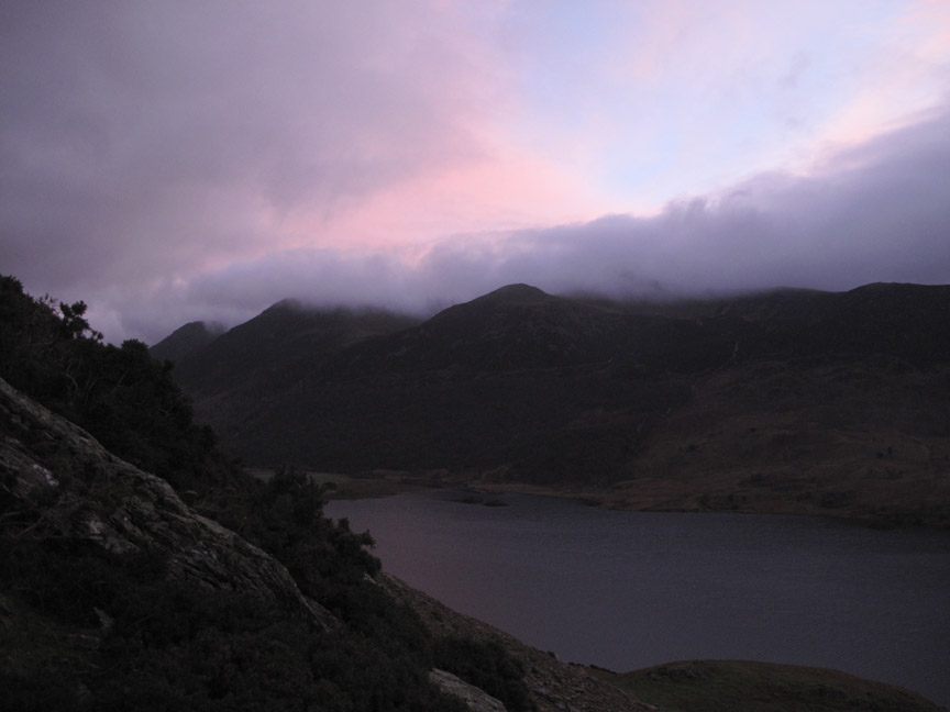
Still there's a spring in the step and light in the sky as we head up the fell. Across the way Dodd is clear but Red Pike and High Stile are still in the cloud.
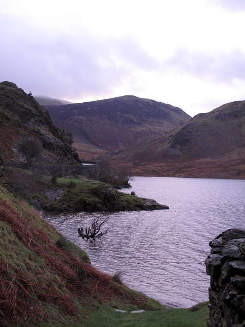
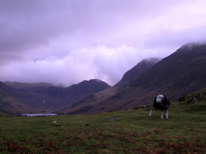
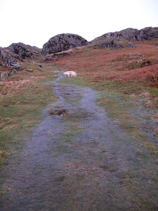
A stocky Herdwick stands its ground as we reach a slight plateau on the way up the craggy end of the fell. The waterfall out of Dubbs and Black Beck tarn at the far end of the valley are quite pronounced, indicative of the recent rain.
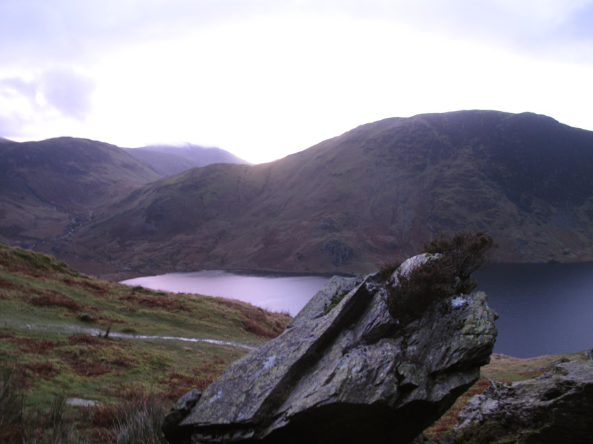
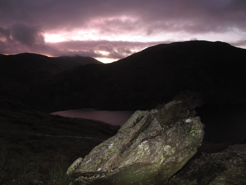
Two thirds of the way up is a prominent rock with its own rock garden. The sun is just about emerging through the gap above Floutern Pass . . . it is touch and go whether there is a gap in the clouds.
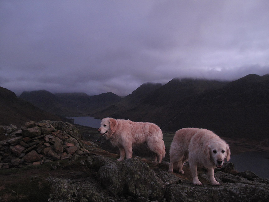
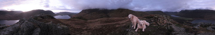
Topping out on Rannerdale. There's a slight hue to the light as the sun sets and the western sky reflects the pink colours.
Every good top deserves a wide shot. Click here or on the photo above for a full Loweswatercam 360 degree annotated panorama
On the way down now and the red glow in the upper clouds is telling me to not hang about. The path is wet and the grass slippery so it is a compromise between downward speed and safety.
Back at the boulder . . . the camera flash is kicking in now.
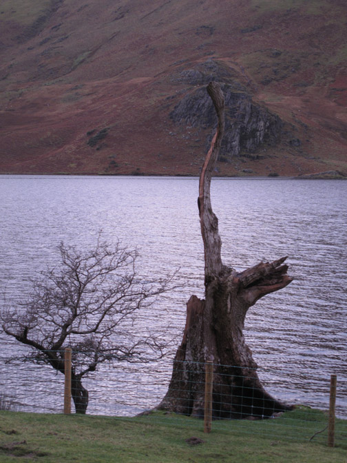
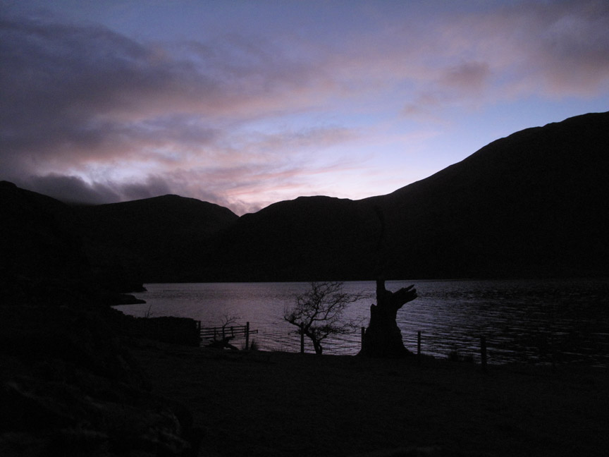
So it was a little darker than planned . . . no problem as my "late afternoon" vision was much better than the camera's. The old ash tree is silhouetted against the lake . . . hopefully tomorrow will be fine all day. - - - o o o - - -
A post script . . . Ann's photo from the following day . . . yes, it was a lot better. That's a nice sunset . . . perhaps we could catch another west-coast sunset soon. - - - o o o - - - |
||||||||||||
Technical note: Pictures taken with either Ann's Canon Sureshot SX220, my Canon G10 digital cameras. Resized in Photoshop, and built up on a Dreamweaver web builder. This site best viewed with . . . a little extra sunlight each day . . . especially between breakfast and bedtime ! Go to Top . . . © RmH . . . Email me here Previous walk - 7th January 2013 - Woodland Walk out of the Wind A previous time up here - 23rd November 2008 Rannerdale Knotts with Jo Next walk - 10th January 2013 - Catbells Inversion
|