![]()

Remember: Press F11 for a full
screen view of this page.
|
|
|
Remember: Press F11 for a full
screen view of this page. |
| " Grisedale Pike and the Magic Tree " Date & start time: Wednesday 22nd August 2012, 11.15 am start. Location of Start : Revelin Moss forestry car park, Whinlatter, Cumbria, Uk ( NY 209 242 ) Places visited : Sanderson Gill, NW ridge, Grisedale Pike, the small tarn, Hobcarton End and return to Revelin Moss Walk details : 3.7 mls, 1620 ft of ascent, 3 hour 40 mins. Highest point : Grisedale Pike 2,593ft - 791m. Walked with : Paula and Abi, Sue, Jo, Ann and the dogs, Amber, Harry and Bethan. Weather : Cool and breezy, especially on the cloud covered summit. |
" Grisedale Pike and the Magic Tree " at EveryTrail [ Alter the settings to zoom or change the Map, use Everytrail to download the Gps route ] |
|
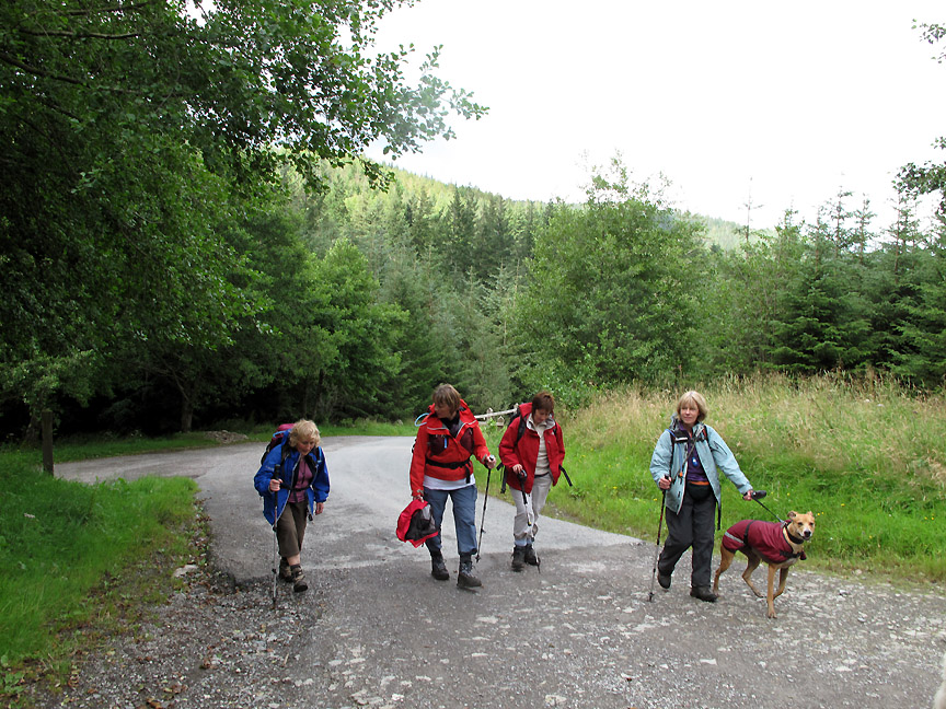
Paula, Abi and Paula's friend Sue had to travel back to Yorkshire tonight but before they left they had time to climb one more high fell. Grisedale Pike is convenient, relatively easy and had an extra attraction that would hopefully prove interesting.
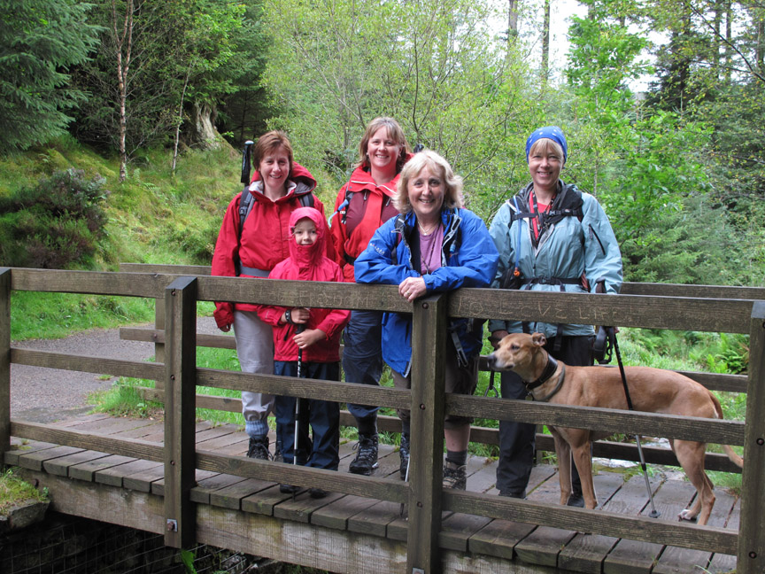
Off we go, starting with a group photo for the walk as we cross the small Grisedale Gill. (l to r) Sue, Abi, our daughter Paula, Ann, Jo and Amber (our dogs were in the stream I seem to remember ) The graffiti on the bridge reads . . . " To Love Freedom is to Love Life " I don't normally like indiscriminate graffiti but you can't argue with that sentiment can you.
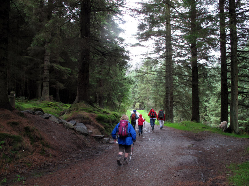
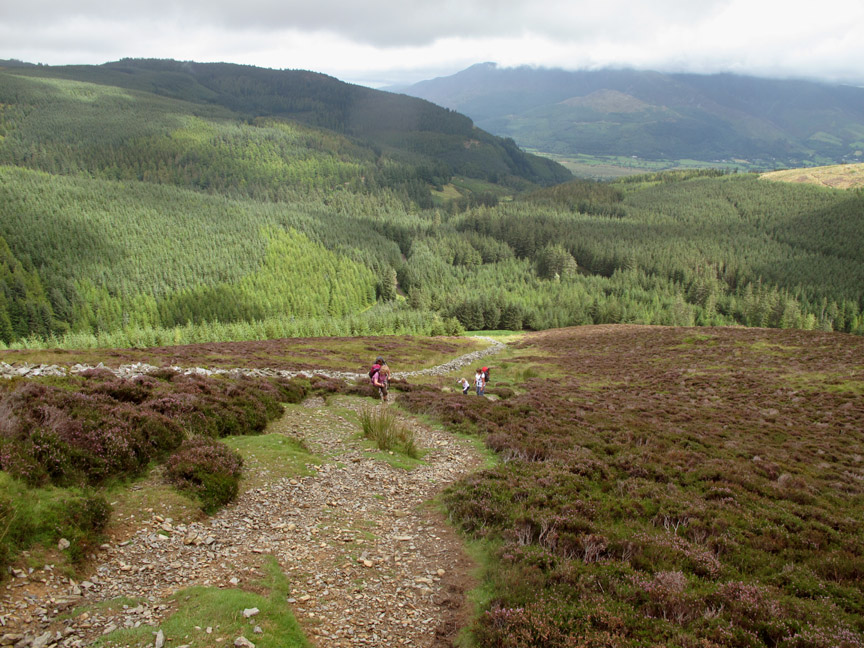
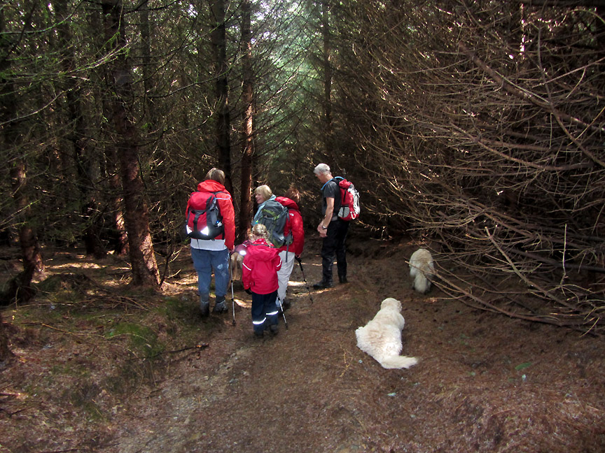
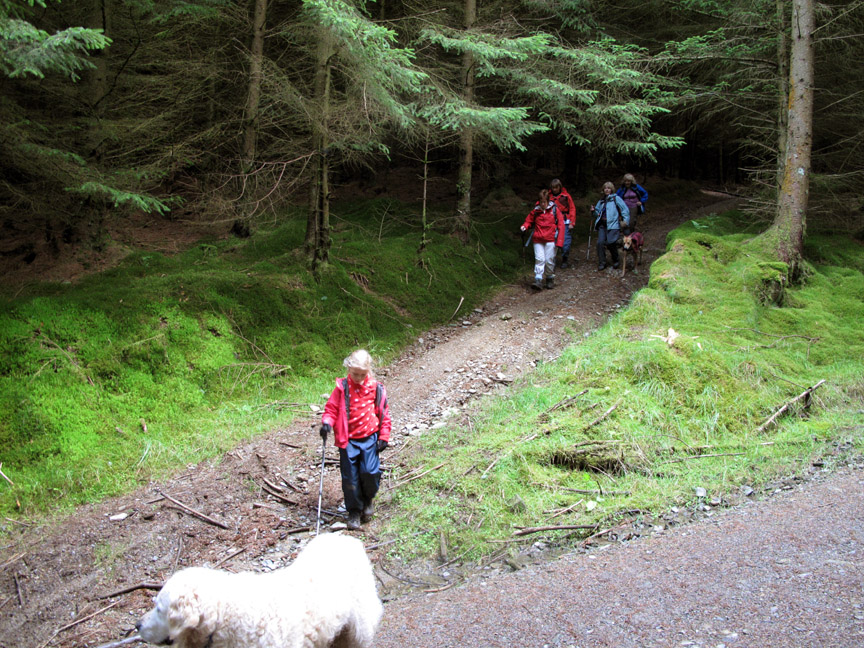
Parking at Revelin Moss car park (which now charges by the way) we started off through the trees following up Grisedale Gill on the Revelin Moss Trail.
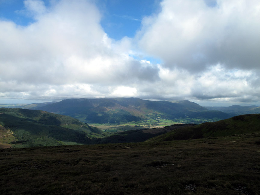
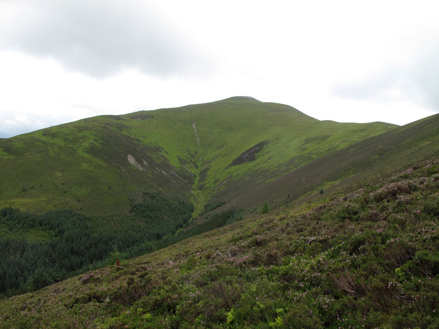
Sunshine and mild air is the order of the day to start as we look back at the Whinlatter Forest and across the valley to cloud-covered Skiddaw in the background.
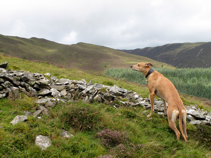
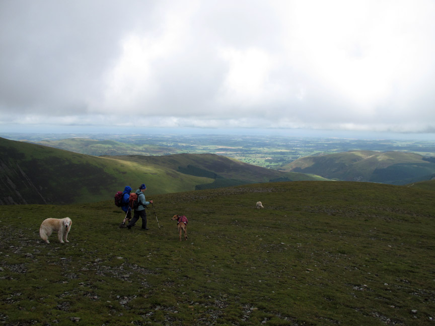
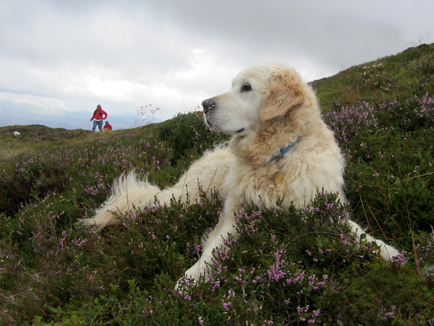
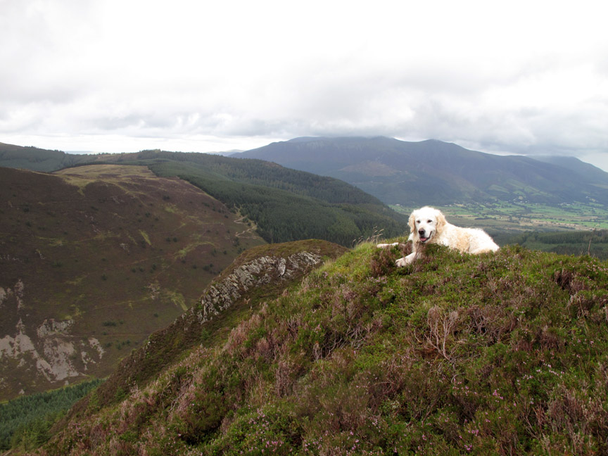
Amber looks up the slope and across to Hobcarton End that will hopefully be our descent route. Amber is a lot better off-lead now, due to a combination of increased maturity and lots of behavior training.
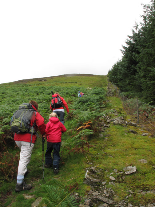
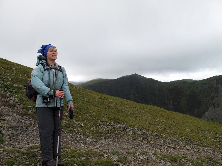
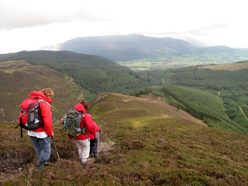
Best foot forward, Abi and her mum stride out for the top. Navigation is easy . . . just follow the old wall . . straight up the fell side !.
Over the back is the distinctive outline of Causey Pike, Catbells in the sunshine and Derwent Water stretching left till it reaches the built up outskirts of Keswick.
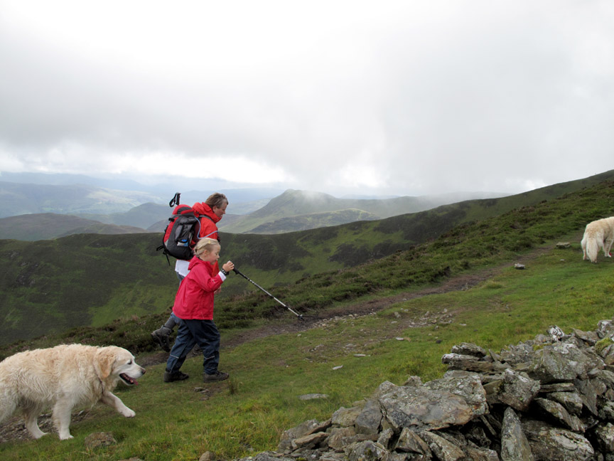
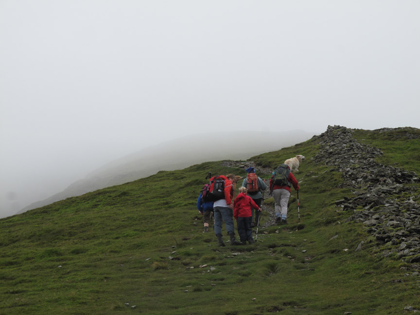
Onward and upward . . . however the mist is shrouding the summit. We may not get a view from the top and it may be breezy and damp so we've all put an extra layer of clothing on now.
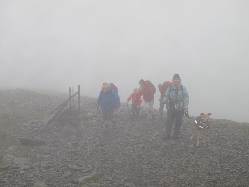
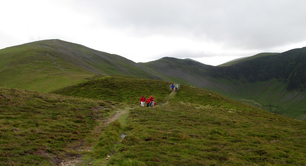
The wall ends but the old fence-line continues as Ann and the girls follow it ever-upward. At the double iron fence post it turns for the last pull up to the summit . . . Jo looks happy at the prospect !
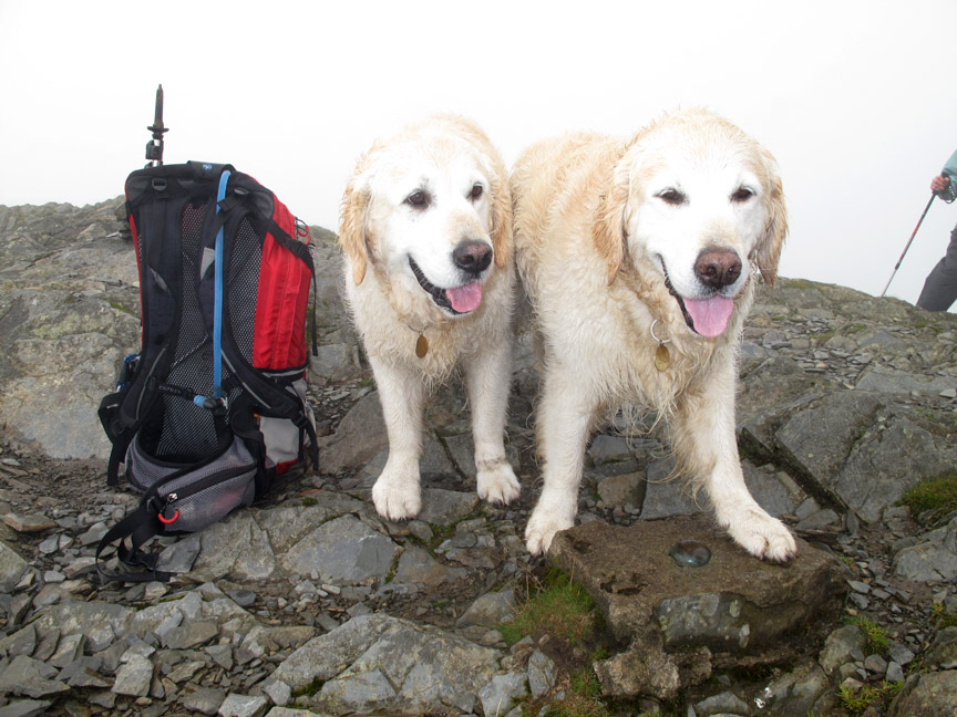
The dogs are happy too as they compete for a picture on the top of the summit trig point. No need to climb up or lift them up onto this one !
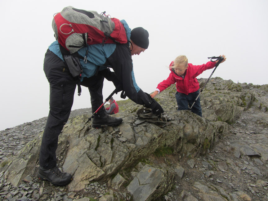
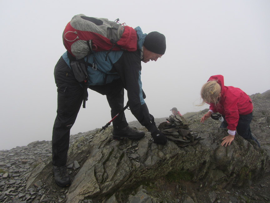
Abi and I mark the successful summit climb by rebuilding the cairn.
We built it so large that it engulfed the guy behind who was quietly enjoying his lunch . . . sorry about that.
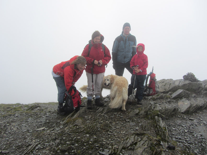
The Yorkshire party wanted a summit photo for their album.
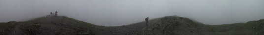
No lunch for us here as it was a little cold so we headed back down. As everyone left I stayed back to catch a quick final photo, after all a slow one would have meant they would disappear into the mist. Didn't want to get separated up here. Click here or on the photo for that big value Loweswatercam 360 degree panorama
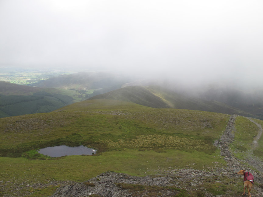
The same double iron fence post but the air is clearer now than on the way up and we start to regain our views.
Below us in the small tarn / big puddle that is not marked on the map but is an unmistakable landmark in all but snowy weather,
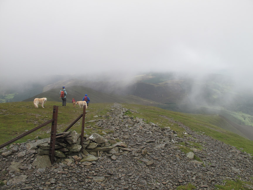
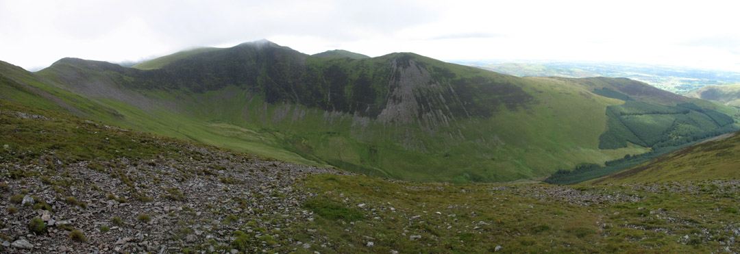
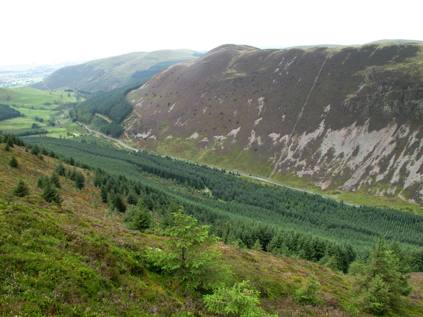
Our descent route would be down Hobcarton End as planned. It is the next spur west compared to the one we climbed and so we take a slight left at the tarn and head off down the slope leaving the landmark wall behind us. Ahead is the Hobcarton Valley with Hopegill Head and Ladyside Pike also starting to emerge from the cloud.
No paths here and navigation is more awkward in winter as we found out when we last walked this ridge eighteen months ago. ( Link to the photos at the bottom of this page)
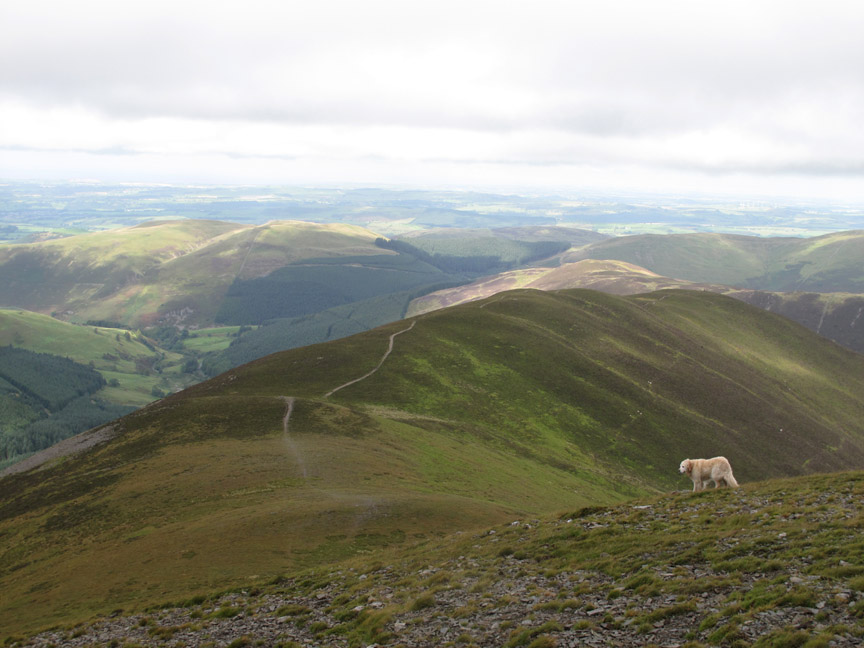
This time finding the path lower down was a lot easier . . . as it was clear to see.
I took this photo to show the clear summit of Hopegill Head now firmly out of the cloud, Jo adding foreground interest. However Jo's expression demands a better caption . . . so I'll leave it to you all to forward me your suggestions ;o)
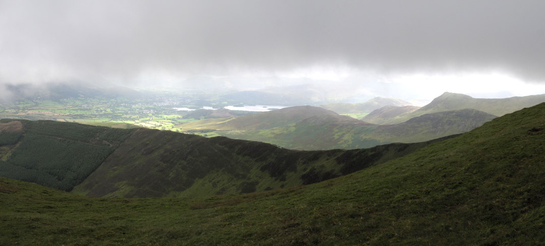
Still dark over us but the sunshine across the valley and a large patch of blue sky alters the whole aspect of the view to the east.
The going is easy now as we descend the slightly undulating ridge. Had we had lunch on the top we would have been cold but we would probably have had summit views eventually.
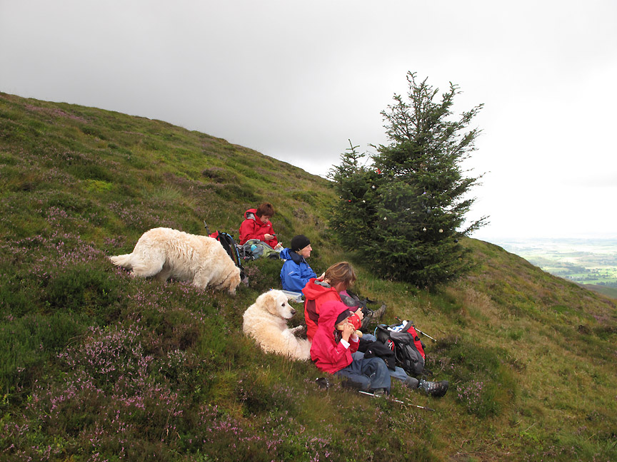
Still, in the shelter of one of the undulations we decide it was time to stop for the "L" word. Hold your cursor over the picture to see Harry's reaction !
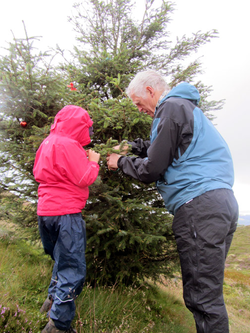
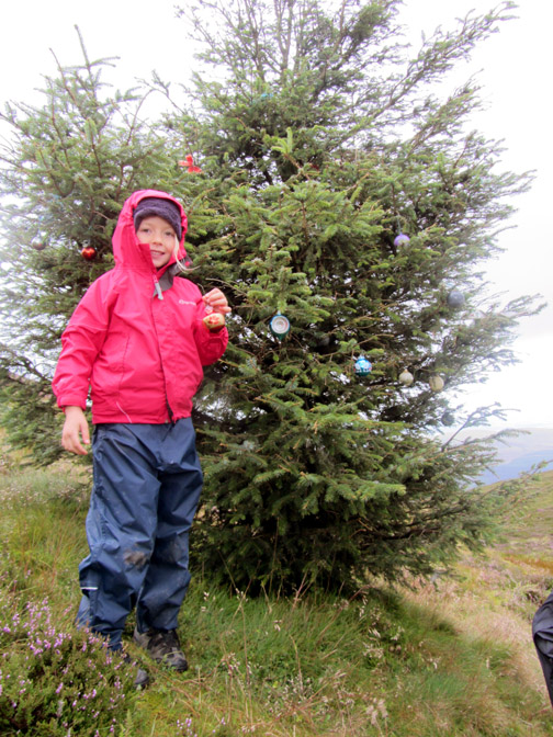
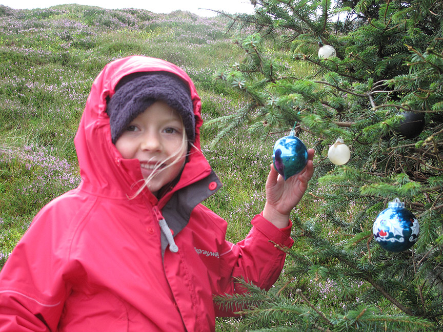
Our lunch stop had been planned a little in advance . . . just check out the tree. Those are not blemishes on the photo, they are baubles and decorations. This tree has traditionally been decorated with Christmas bauble in recent years . . . and they stay on it all year round.
Knowing in advance of our route, I had been up in the loft of our cottage and had brought a few extra items in the rucksack for Abi to tie onto the tree, in order to keep the tradition going. She was delighted.
Job done, lunch over, we start to make our way down.
Bethan it is this time, sitting on the edge looking down at the view . . .
. . . over the forest and down the western side of Whinlatter Pass.
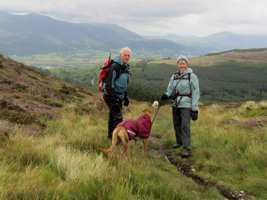
Jo and I pause for Ann's photo as we head down the ridge. It was still cold enough for gloves and for Amber to have her coat on.
To our right we could look back at Grisedale Pike and the whole of our route today which virtually followed the skyline all the way up and back down, apart from the missing section to the summit itself.
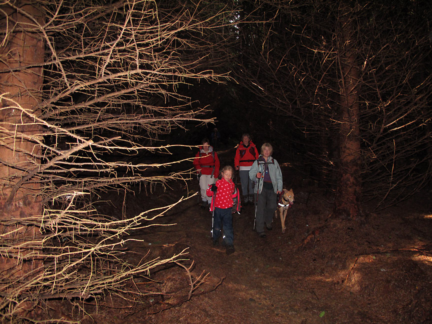
The last section of the walk always comes as a bit of a surprise as we swap grass and heather for pine needle and dive into the forest.
Amber is on the lead to protect her from the BEARS !
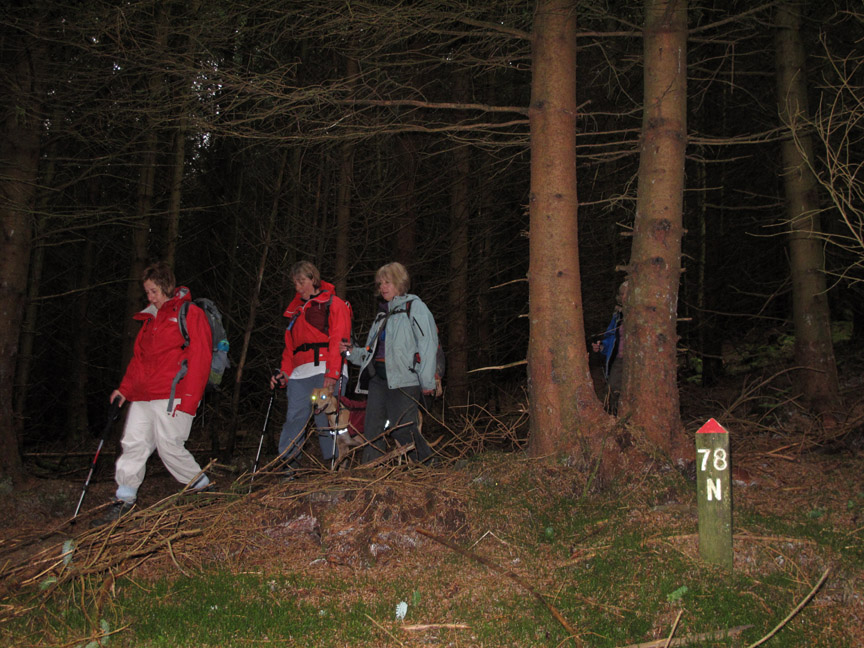
Way markers prove others have been here before . . . but no guarantee they made it out safely.
But we did ok . . . reaching the clearing and the forest road close to the Sanderson Gill once again.
A short, downhill stroll and we were back at Revelin
Moss car park and the end of another fine walk.
- - - o o o - - - |
Technical note: Pictures taken with either Ann's Canon Sureshot SX220 or my Canon G10 digital camera. Resized in Photoshop, and built up on a Dreamweaver web builder. This site best viewed with . . . Christmas all year round. Go to Top . . . © RmH . . . Email me here Previous walk - 21st August 2012 Rannerdale Knotts with Paula and Sue A previous time up here - 21st February 2010 Arctic Grisedale Pike Next walk - 23rd August 2012 Lingmell and the Piers Gill Path
|