![]()

Remember: Press F11 for a full
screen view of this page.
|
|
|
Remember: Press F11 for a full
screen view of this page. |
| " Grey Knotts, Brandreth with Paula and Sue " Date & start time: 20th August 2012, 10 am start. Location of Start : The National Trust car park Honister Hause, Cumbria, Uk ( NY 226 136 ) Places visited : Grey Knotts, Brandreth, Moses Trod, Drum House and return. Walk details : 4 mls, 1325 ft of ascent, 2 hours 20 mins. Highest point : Brandreth 2,344ft ~ 715m. Walked with : Paula, Sue and the dogs, Harry and Bethan. Weather : Low cloud with brief rain showers on the summits but good visibility lower down. |
" Grey Knotts and Brandreth " at EveryTrail [ Alter the settings to zoom or change the Map, use Everytrail to download the Gps route ] |
|
Back home and we have family to stay. Paula has her walking friend and work colleague Sue with her and they are eager to try for a few more Lakeland summits. The weather today is not the best but I joined them for the first two tops of their extended walk from Honister.
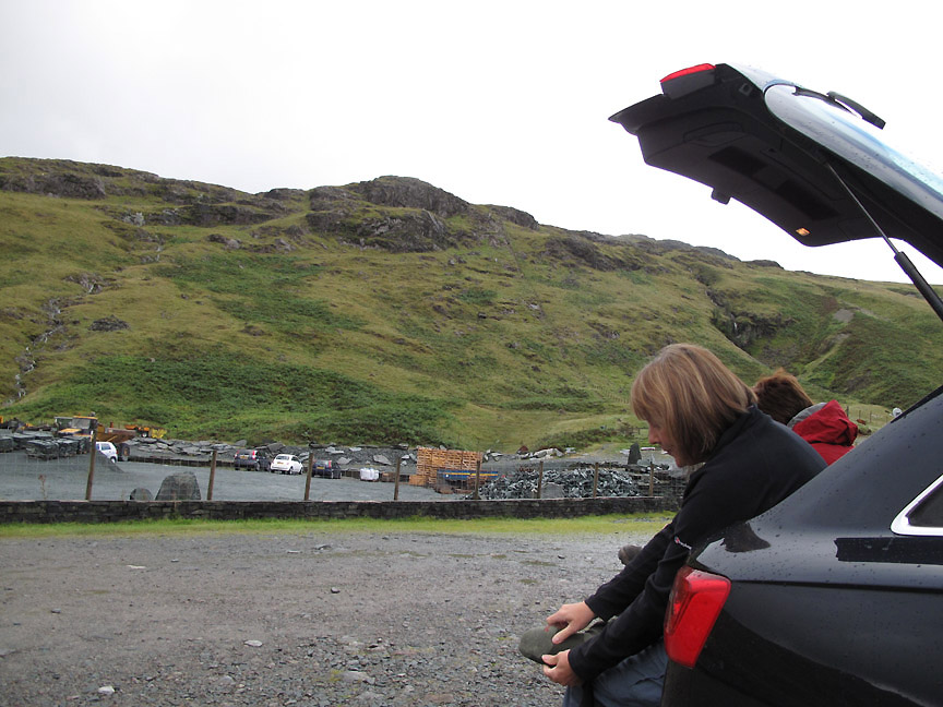
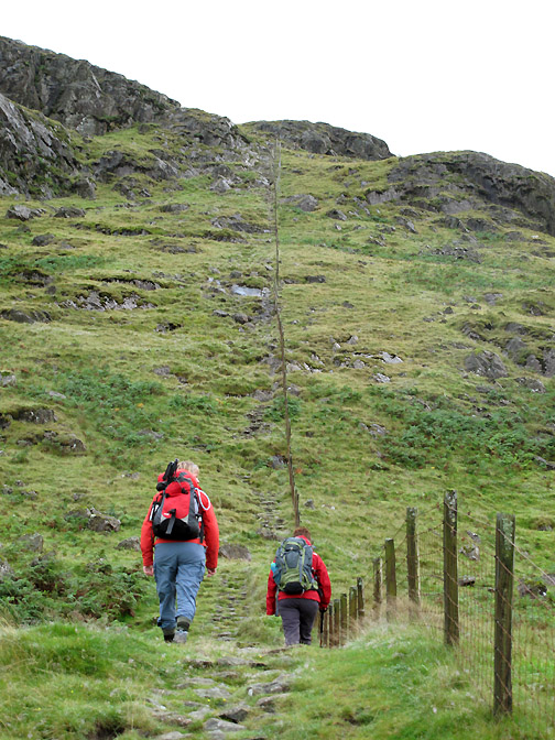
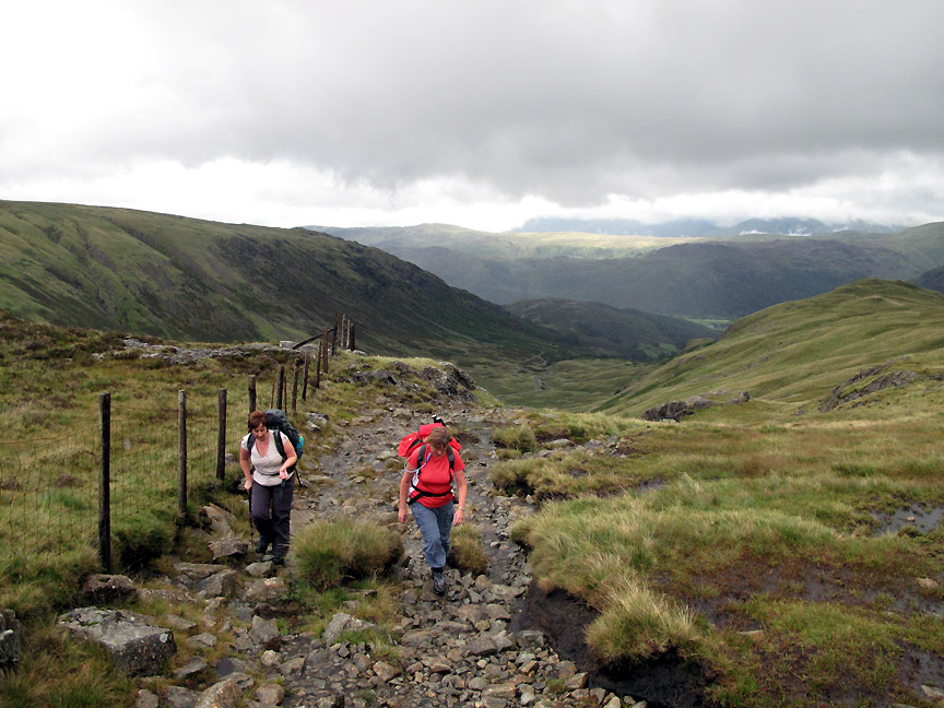
So far so good. The weather is not particularly promising but the climb up Grey Knotts from Honister is looking good. Time to sort the footwear, pack the waterproofs in a handy place and set off up the fence line on the other side of the mine area.
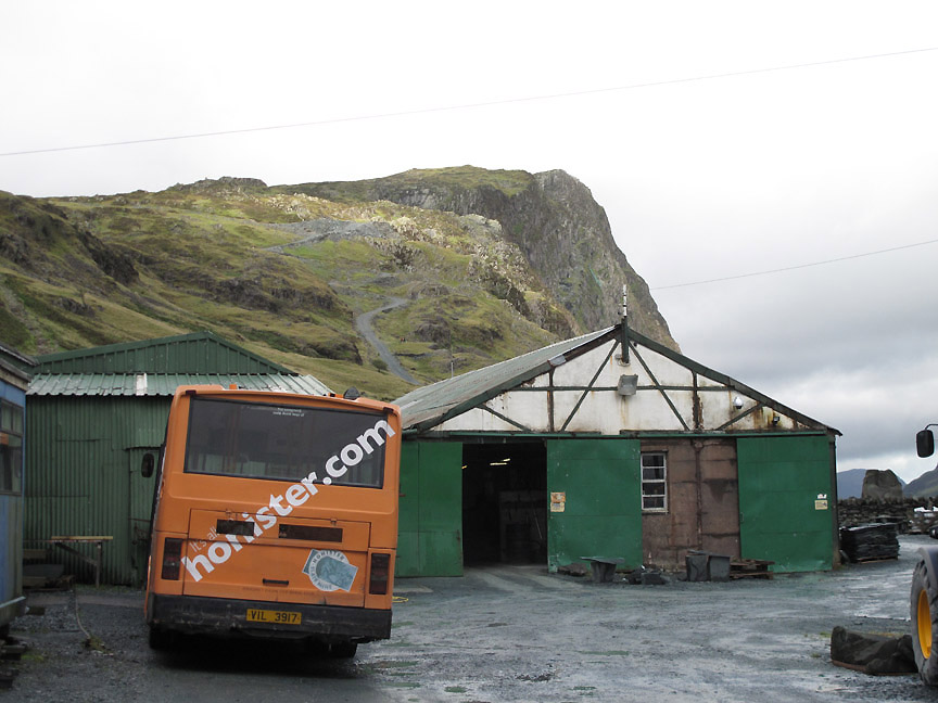
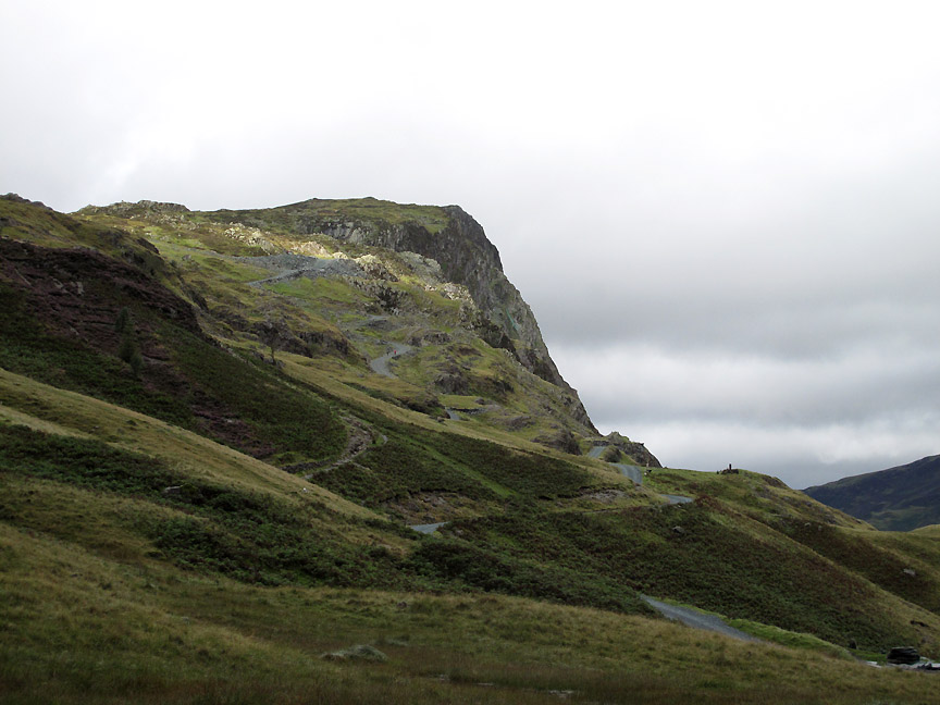
We cross through the yard on the public footpath to the fence opposite, passing the sheds on the way. There's a nice patch of sun on the crags of Black Star above us.
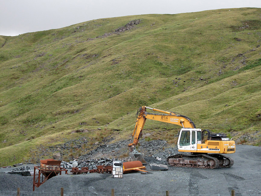
The usual array of equipment and worked stone but the area is sadly lacking that cheerful green helicopter. Still, the spirit of the mine continues on and Mark's legacy seems in good health. Click here for the Honister.com website.
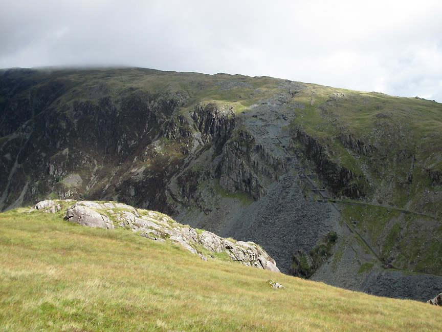
Looking over the cutting sheds to the Yew Crag mines opposite. The skyline of Dale Head leads on towards Hindscarth up there in the clouds.
Honister Crags toward the summit of Black Star. The second Via-Ferrata is now up and running again and the underground mine tours still attract a good crowd.
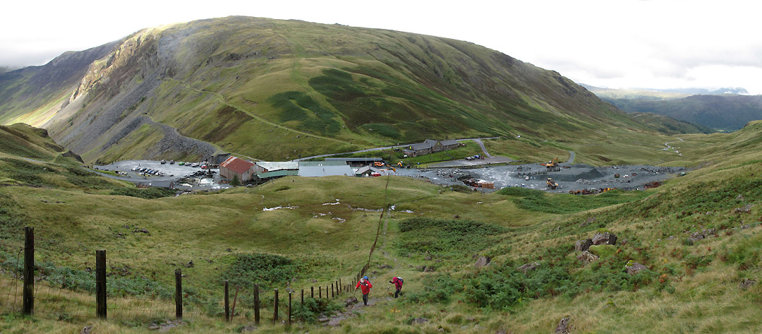
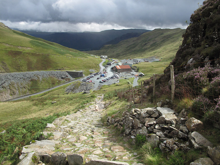
Looking back I take a wide photo of the mine complex. (it's a great way to stop for a rest without saying so !) We have company on our climb but not so close that we get to chat. The car park on the left is filling up steadily whereas our area in front of the Youth Hostel on the right only has three cars in it so far.
One of the deviations away from the fence brings us under this cliff for the first small scramble of the day. Sue is looking much smaller than Paula and commented so later, but it is only a matter of perspective with Paula being on a higher step !
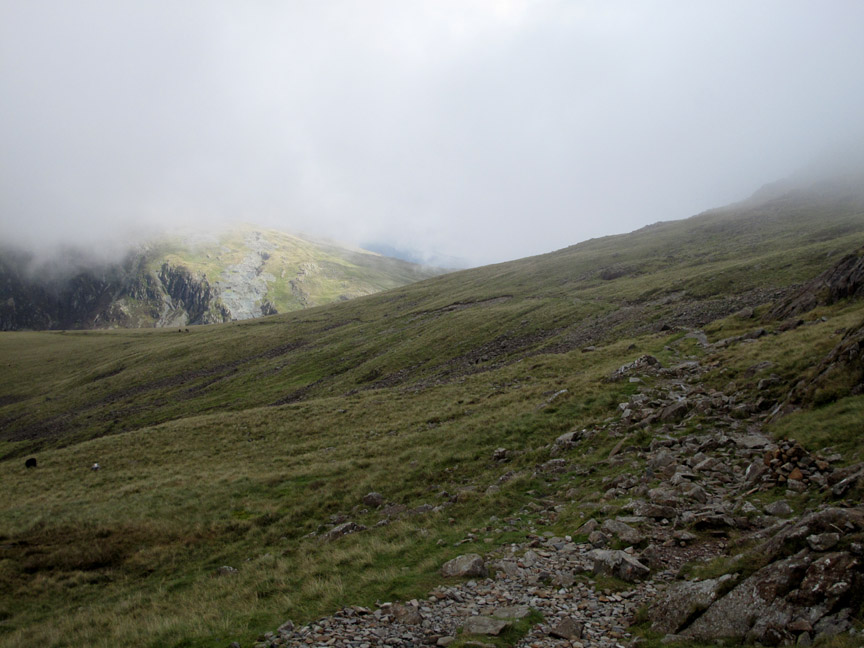
That's more like it as my two companions reach more level ground. Visibility is good up here as we can see across to the cloud topped slopes of Helvellyn in the distance.
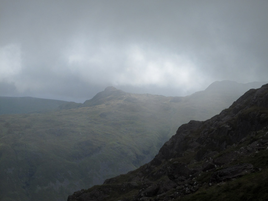
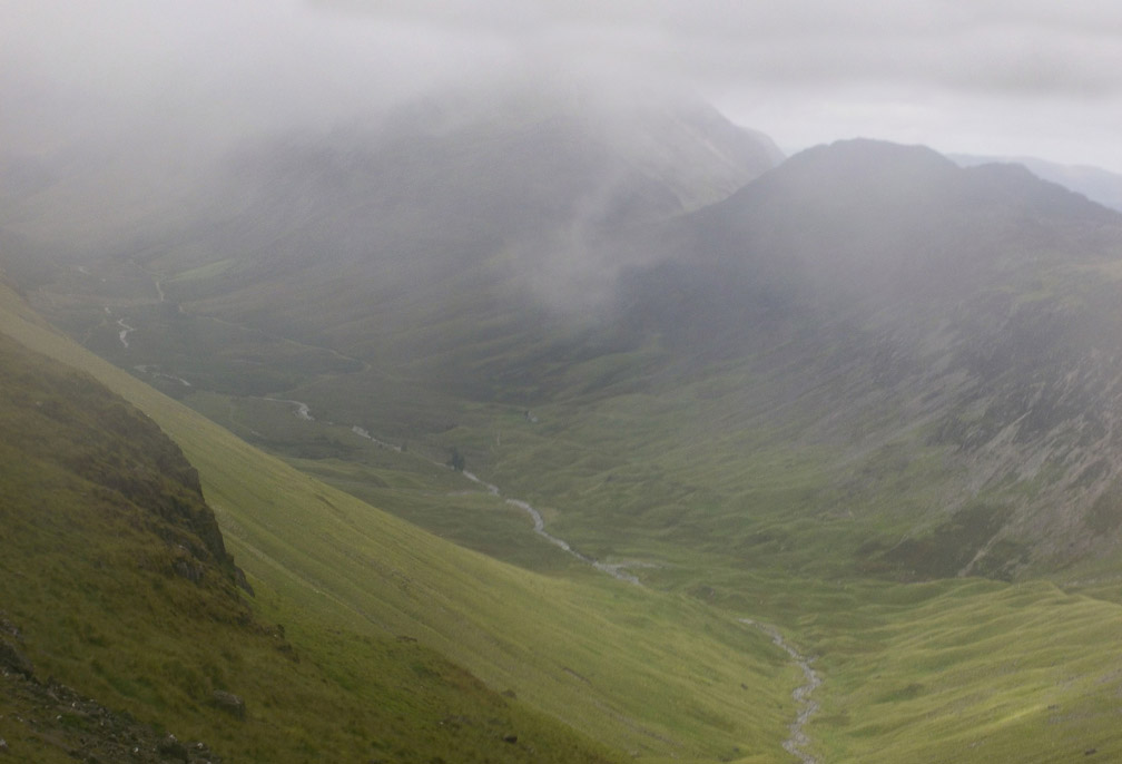
However, our route is taking us steadily up into the clouds too. This is Glaramara and the lower Combe Head summit from the slopes of Grey Knotts.
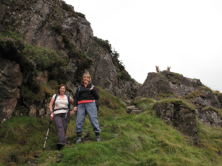
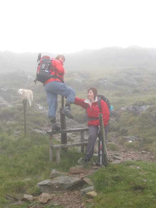
After the earlier photo, Sue is getting her own back on Paula as she has been convinced to use the stile to cross the fence line. Keen observers will notice, as Sue did, the lack of fence wire !
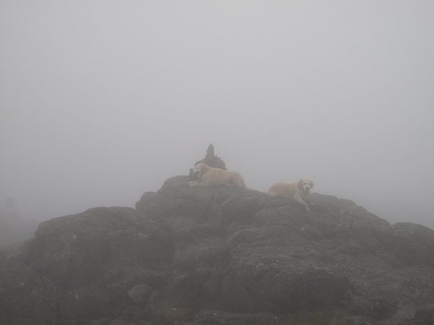
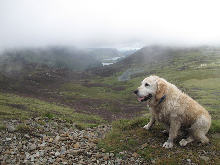
Great view of the summit of Grey Knotts . . . but not a great view from it ! Harry and Bethan are there first again.
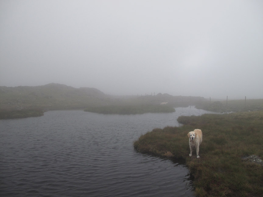
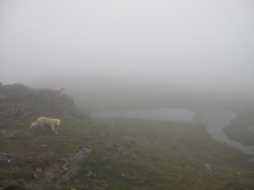
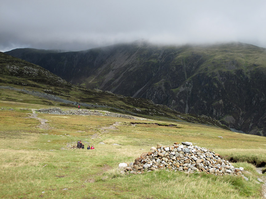
Following the fence line across the level ground now between Grey Knotts and Brandreth. This large pool is shown on the map and we cross the soft ground right next to the fence.
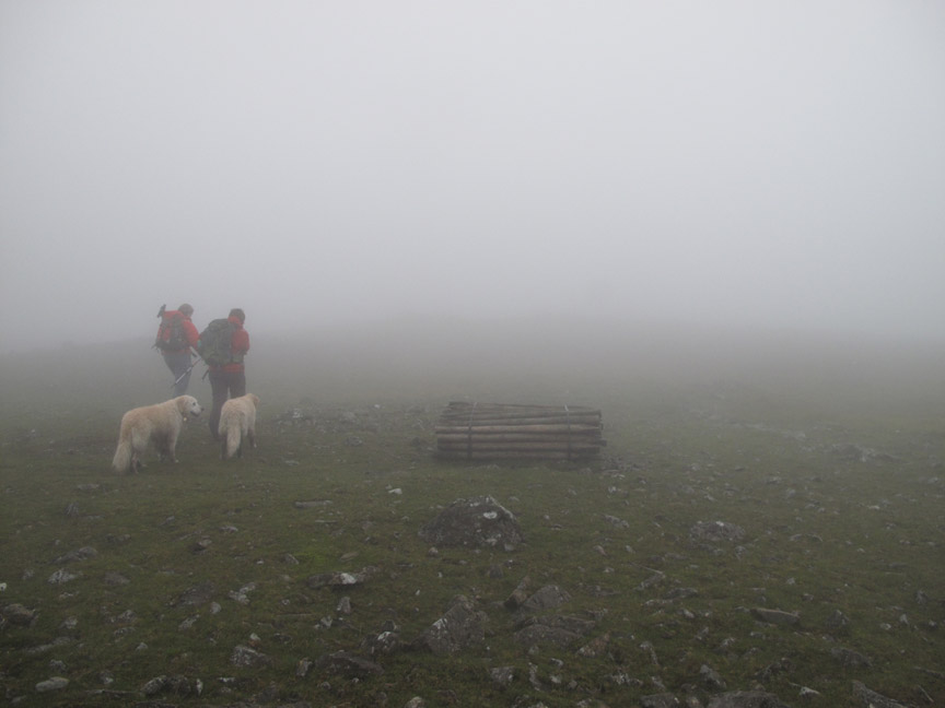
Before the summit of Brandreth the new fence dives off to the right, so we must follow the line of an earlier fence on towards the summit. In the mist we were distracted by a secondary rock outcrop with a fence post but it turns out to be away from our intended route. Subtle use of the compass got us re-orientated and we soon found the abandoned roll of fence posts which is adjacent to the main top.
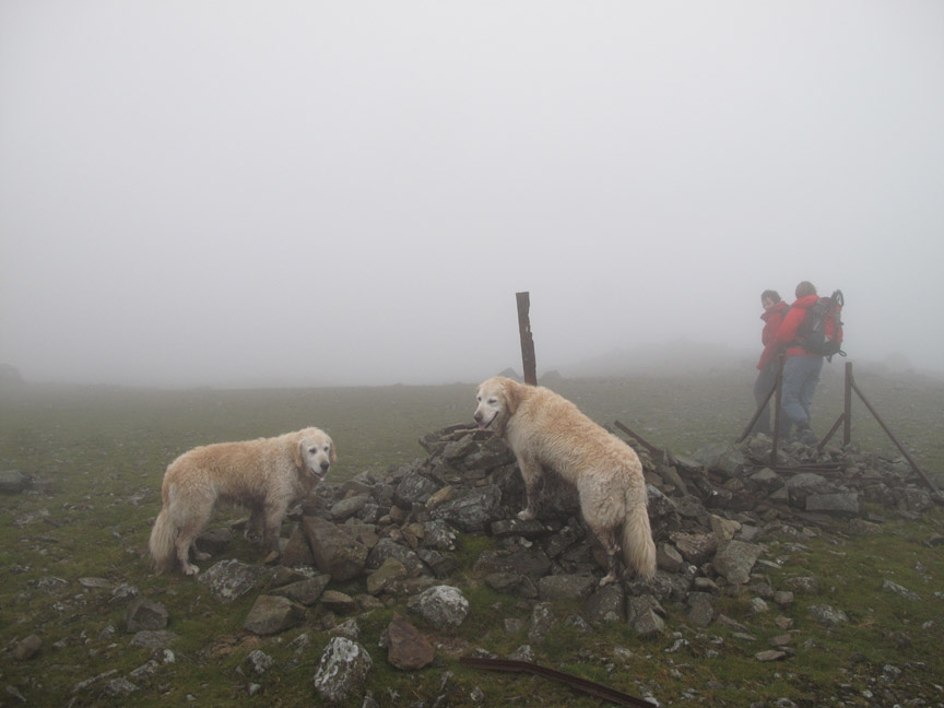
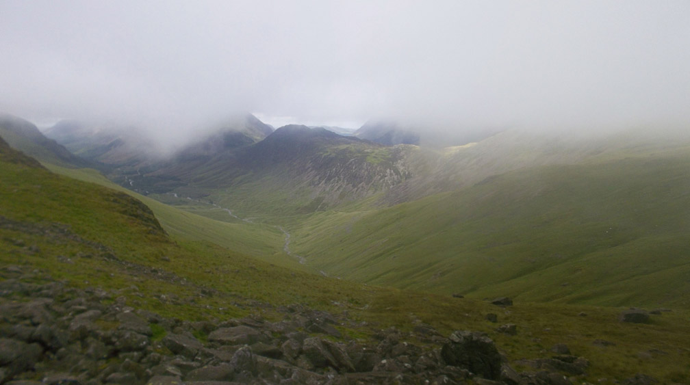
That's more like the summit layout we remember. Visibility in the mist was less than 50 yards so the girls practiced their map and compass skills again as we headed down to the tarns at Gillercomb Head. Good these compass things . . . I should get mine out more often.
Spot on course, the larger of the pools on the level ground between Brandreth and Green Gable. The track on the Everytrail Map at the top of the page was gathered from my borrowed Dakota mapping Gps and it was a delight to see the tarns coming into view as expected. My Gps for navigation was simple and quick but it was also good not to use it and to practice with the compass as well. - - - o o o - - - At this point it was time to part company for a while. I headed back towards home while the girls, who were out for a longer walk, intended to walk on to do Green and Great Gable maybe traverse under Kirk Fell, visit Black Sail Hostel and visit Haystacks. Their route would be flexible, depending on the weather.
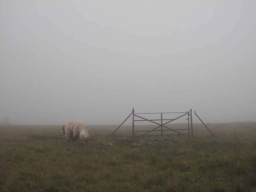
Time for me to turn right and head across the slope to find the Moses Trod path. Along the way, the strange sight of an old gate but no fence. I walked around it . . . you wouldn't catch me out climbing over it if I didn't need to !
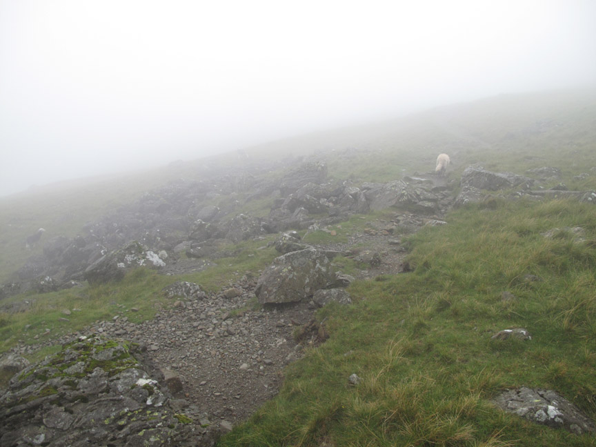
On cue . . . the Moses Trod path is found and joined . . . as it starts its slight rise up across the lower flanks of Brandreth.
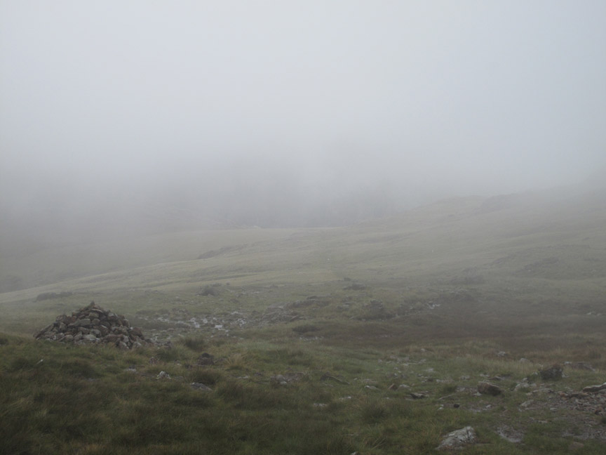
Even down here visibility is still poor but the path is well used and there are a few cairns about. - - - o o o - - - Meanwhile Paula and Sue had successfully climbed Green and then Great Gable . . . entirely in the mist.
This was the view from Beck Head after they had descended from Great Gable. Down below, adjacent to the first dark tree by the river, is the misty suggestion of Black Sail Youth Hostel.
A wider shot as the weather improved but they decided that due to the delay caused by careful navigation in the poor weather that they would pass on a trip down into the valley and instead returned towards Honister using the Moses Trod path as well. They were a couple of hours behind me now but that was not a problem . . . they had their own transport. [ Both the above pictures by Sue] - - - o o o - - -
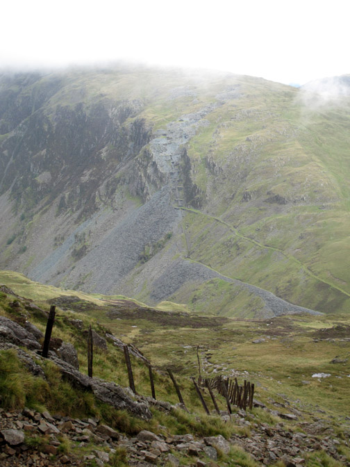
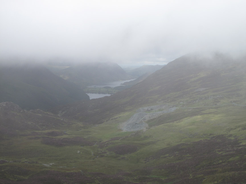
My journey back continued . . . and as I dropped down the fellside so the visibility improved. Below me are the Dubbs Quarry workings and the twin lakes of Buttermere and Crummock in the distance.
Down here the weather was gradually improving. The short shower of rain we had on our ascent of Grey Knotts was to be the only one of the day.
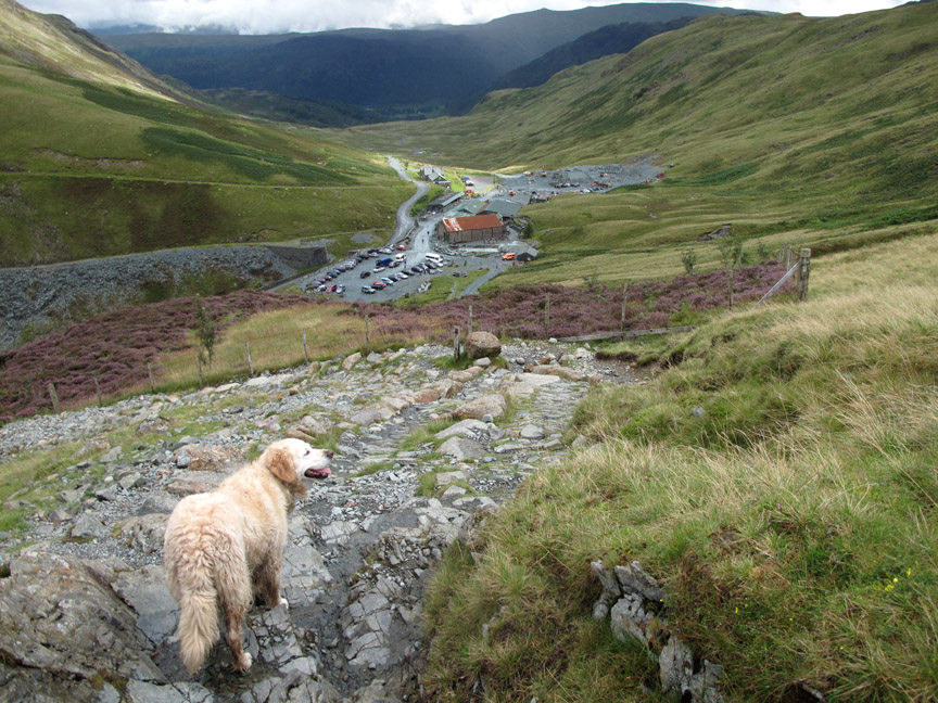
The gradual contour of the Moses Trod path back towards Honister. Care was needed on the wet rocks but otherwise the going was ok.
Heading down to the Drum House. Midday now and with a later start time and improving weather I was meeting more people on this section of the path. One gentleman had just dropped his watch, but an enquiry to the group behind revealed that it had already been picked up and he was re-united with it very quickly . . . and very fortuitously I think.
This is where I came in . . . a picture of the Yew Crag Mines . . . but this time from the Dram Road.
The old funicular rail track would have continued on, directly down to the mine, but a long standing diversion takes the path left and the area beyond the fence is now covered in a mature bed of colourful heather.
My walk ends when I return to the mine complex. Just a short walk now and I'm back at the car and on the way home. Paula and Sue would be a couple of hours away but had also enjoyed their walk out on the high fells despite the poor summit conditions. - - - o o o - - - |
Technical note: Pictures taken with my Canon G10 or Sue's Kodak digital cameras. Resized in Photoshop, and built up on a Dreamweaver web builder. This site best viewed with . . . a map and compass and the knowledge how to use them ! Go to Top . . . © RmH . . . Email me here Previous walk - 19th August 2012 Yorkshire Nab End & Doubler Stones A previous time up here - 29th March 2009 Sunny Grey Knotts and Brandreth Next walk - 21st August 2012 Rannerdale Knotts with Paula and Sue
|