![]()

Remember: Press F11 for a full
screen view of this page.
|
|
|
Remember: Press F11 for a full
screen view of this page. |
|
" Rannerdale Knotts in the Sunshine" Date & start time: 2nd April 2011, 4.15 pm start. Location of Start : Hause Point car park, Rannerdale, Cumbria, Uk ( NY 163 184 ) Places visited : Hause Point, Rannerdale Knotts, Low Bank, and back via Rannerdale Valley. Walk details : 2.8 mls, 1000 ft of ascent, 2 hrs 5 mins. Highest point : Rannerdale Knotts 1,160ft - 355m. Walked with : Ann and the dogs, Harry and Bethan. Weather : Sunshine and blue skies . . . perfect walking weather.
|
"Rannerdale
Knotts in the Sunshine" at EveryTrail [ Alter the settings to zoom or change the Map, use Everytrail to download the Gps route ] |
|
After a few days and nights of mild, wet and windy weather when it was too warm to sleep at night with the windows closed and too noisy to sleep with them open, the sun suddenly bursts forth and the air was as clear as could be . . . just in time to take the dogs out for a local afternoon walk.
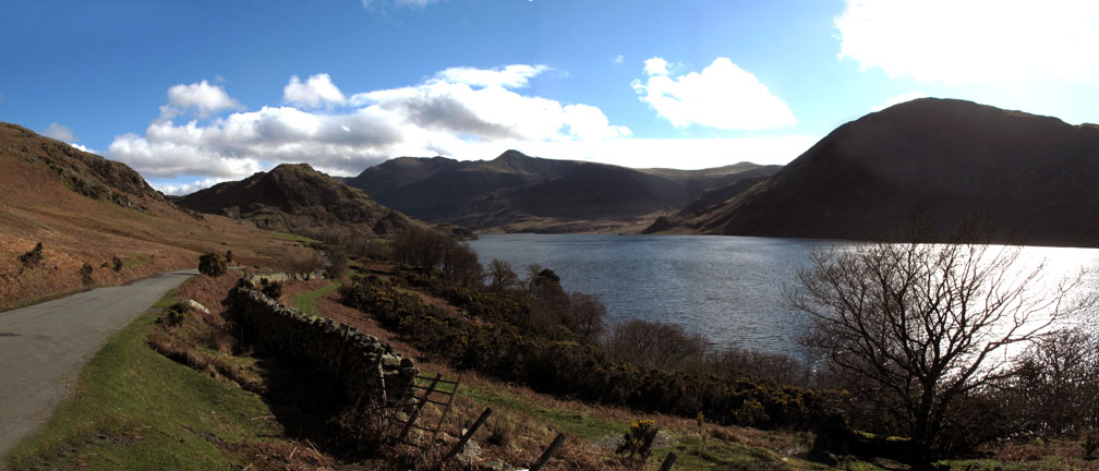
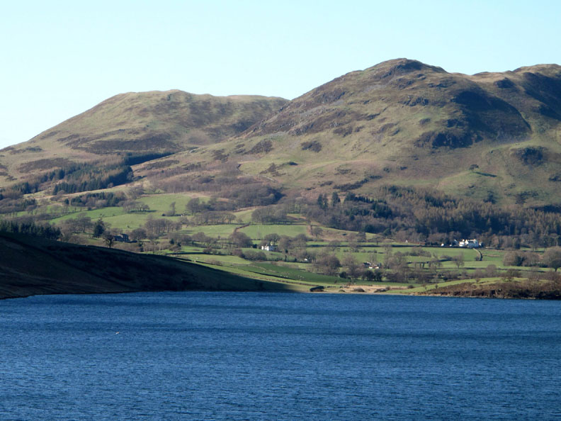
The clouds roll away to leave sunshine and blue skies as we enjoy the short drive alongside Crummock Water to Rannerdale Knotts (centre left).
Blue skies giving blue reflections on the water. The winter winds have cracked a branch of the old tree by the lakeside.
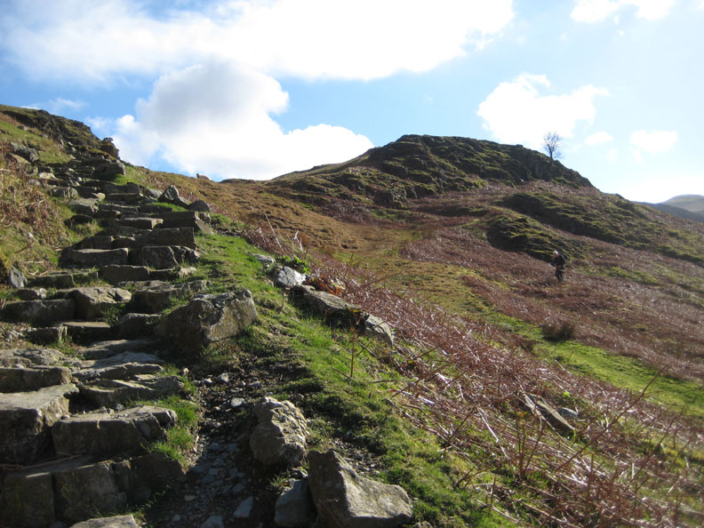
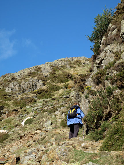
Parking at Hause Point, we take the pitched path up the start of Rannerdale's northern end.
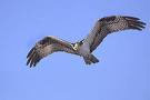
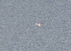
Looking down the lake at the fast disappearing form of what we believe was the Osprey. It's that white blob on the lower left corner !!
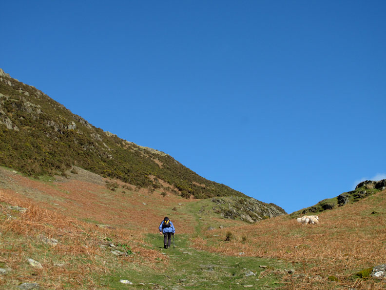
First excitement over, we continue to climb the fell.
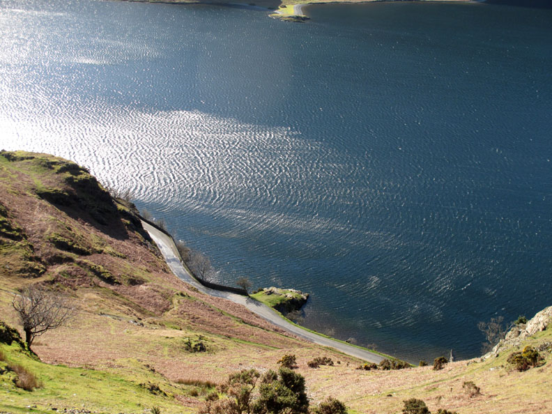
There's still a strong breeze about, evidence of which could be seen in the fast moving ripples and swirls on the water below.
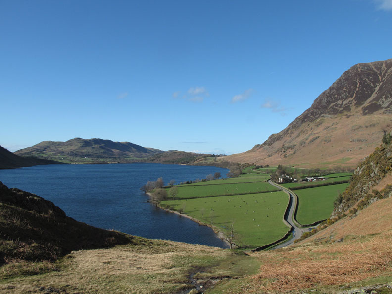
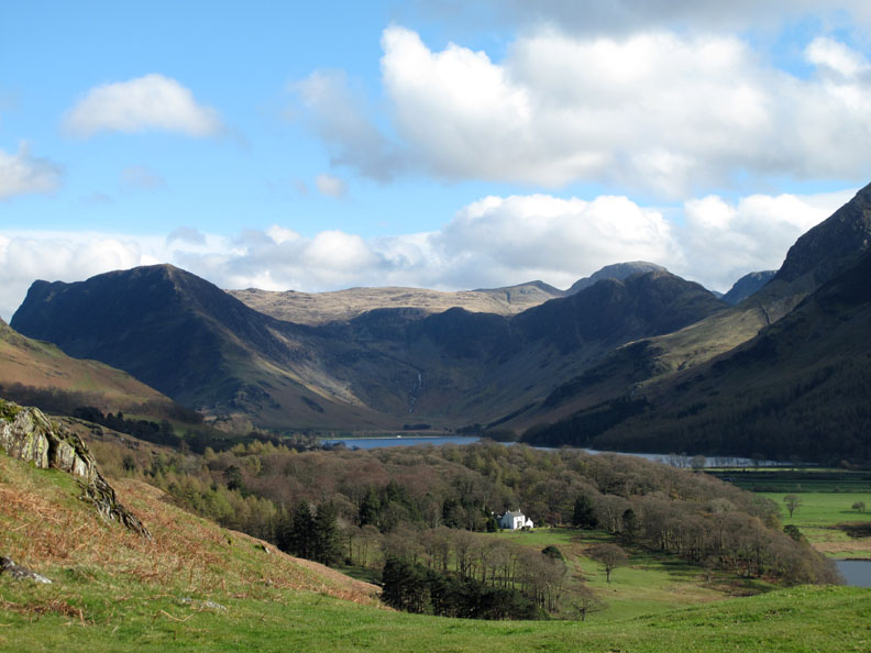
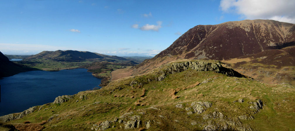
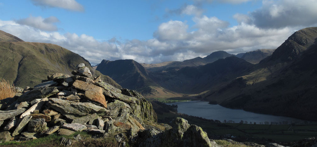
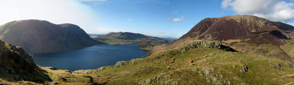
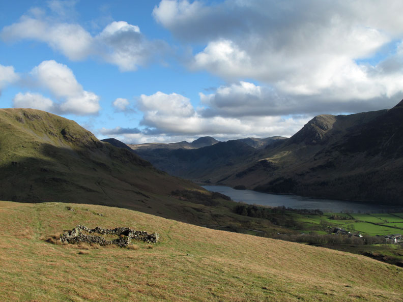
A full view of the head of the valley with Wood House below and Fleetwith Pike, Brandreth, Haystacks and the Gables behind.
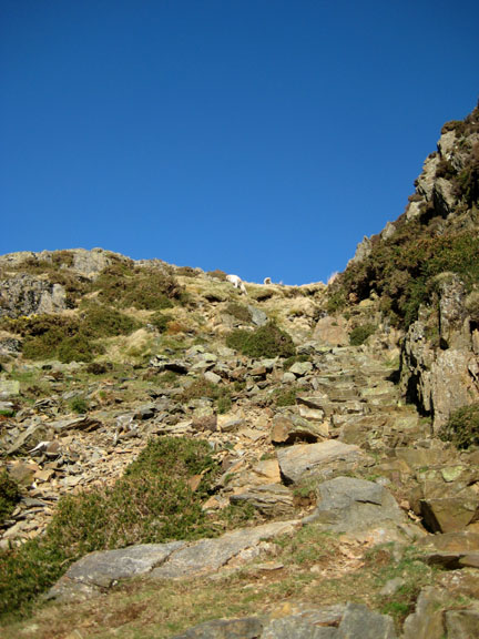
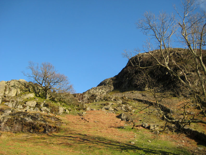
Climbing up into the blue skies.
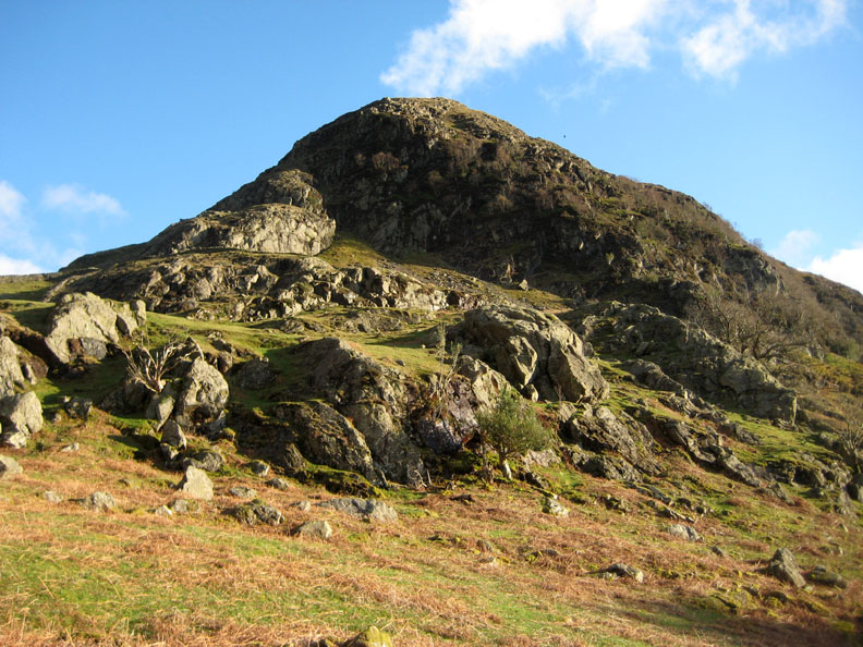
The path gets steeper now as we walk up through the crags.
I don't think the National Park pitched a path in that direction Bethan !
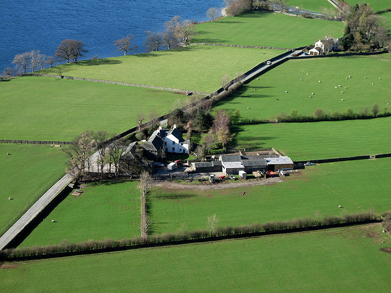
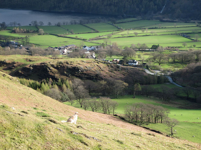
An aerial view of Rannerdale Farm
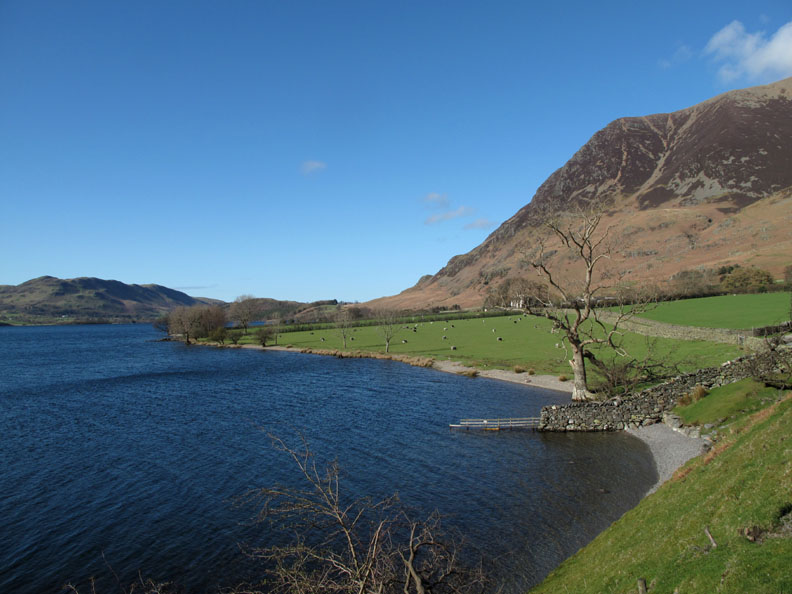
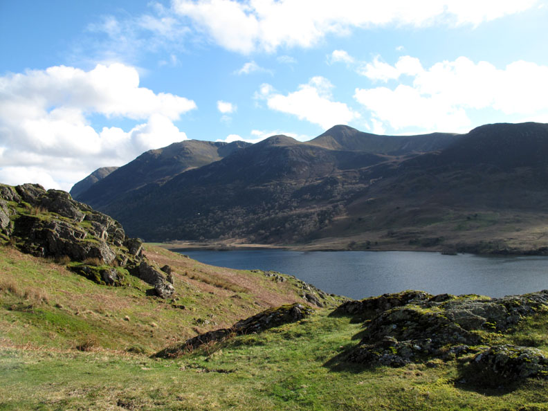
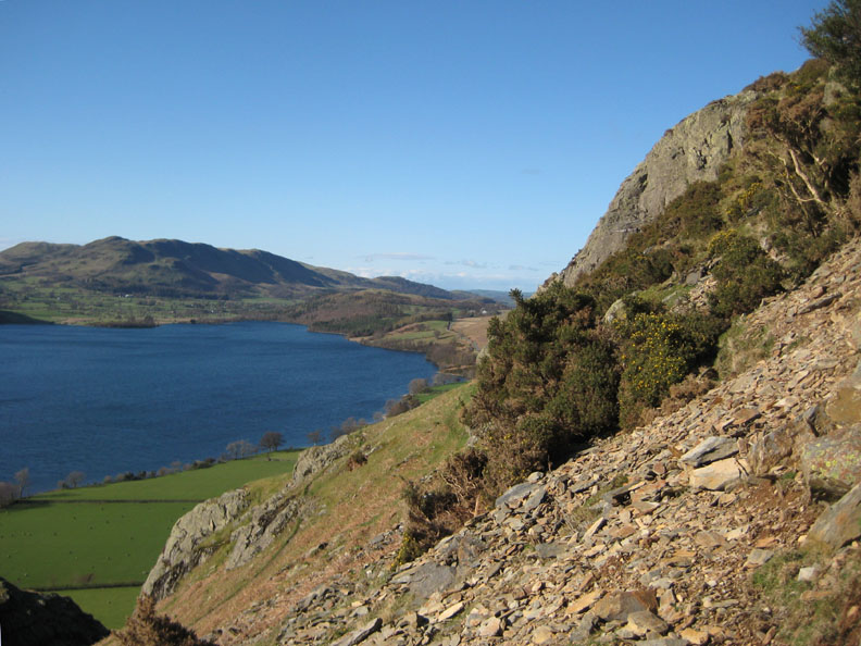
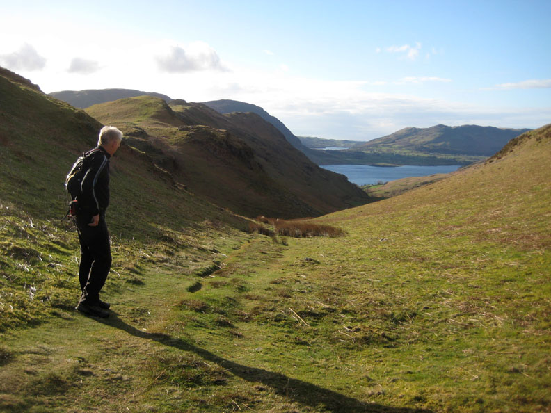
Very near the top and we can get views down the lake, over Low Fell and Loweswater, towards Scotland. The visibility is the best it has been for weeks. The wind and rain has obviously blown all the haze away.
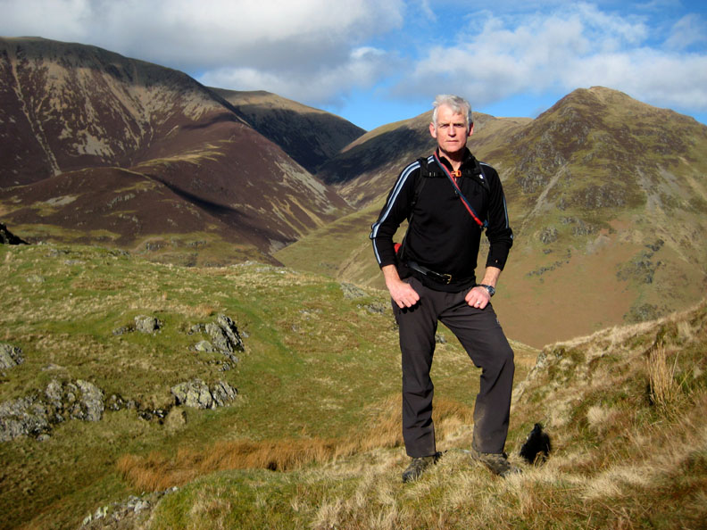
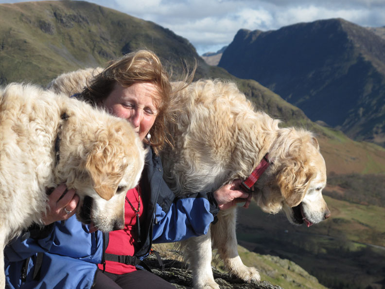
This one must be one of Ann's photos !
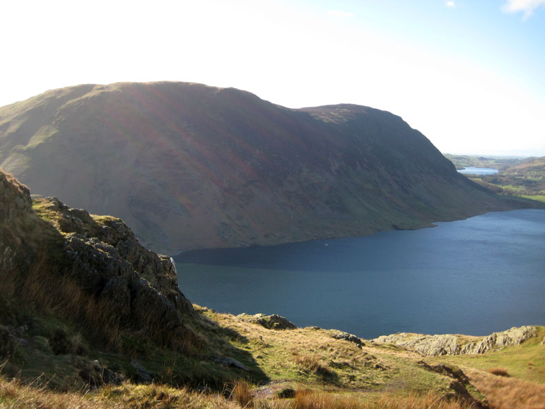
Mellbreak, the haze due to taking the picture into the sun, not because of the air quality.
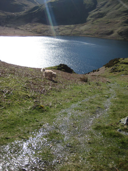
Light, and fast-moving shade on the Central Fells from the summit cairn on Rannerdale.
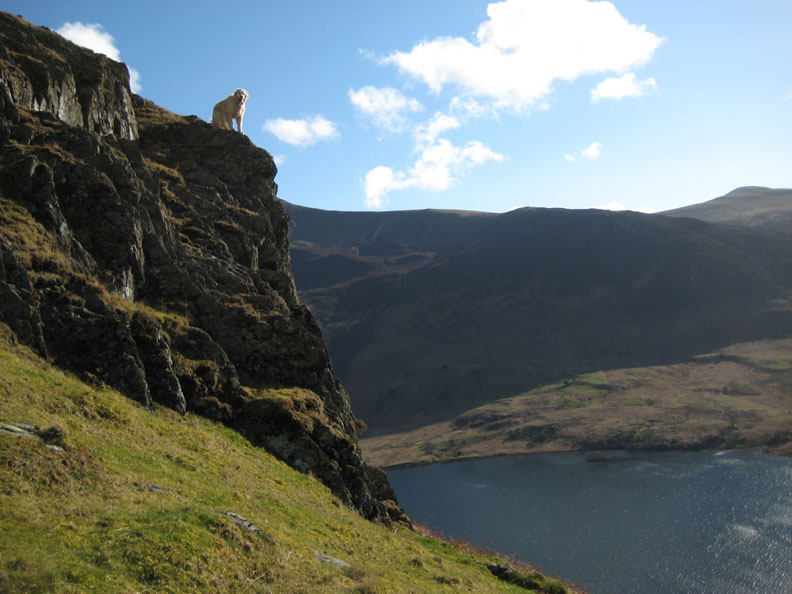
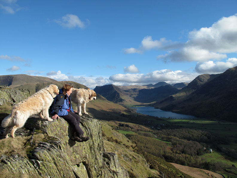
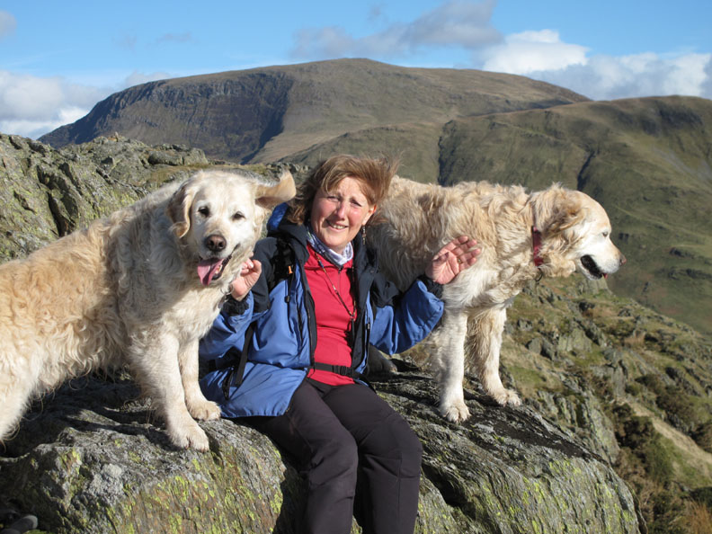
Ann relaxes on the summit rocks.
Joined here by her two furry companions.
Happy Mother's Day for tomorrow !
One last view back for now as we leave the summit and set off along the ridge. [ Click here or on the picture for a larger, annotated version ]
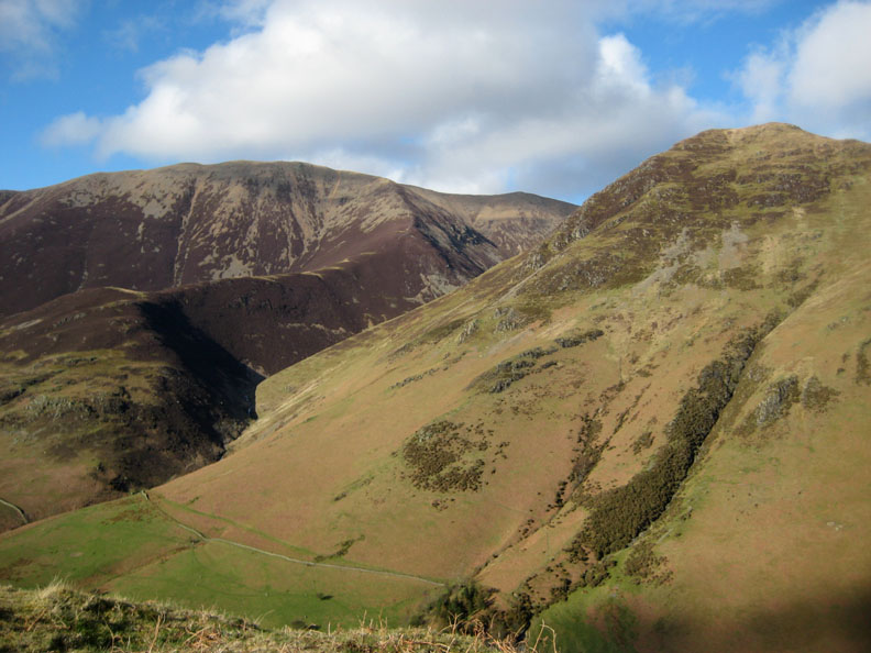
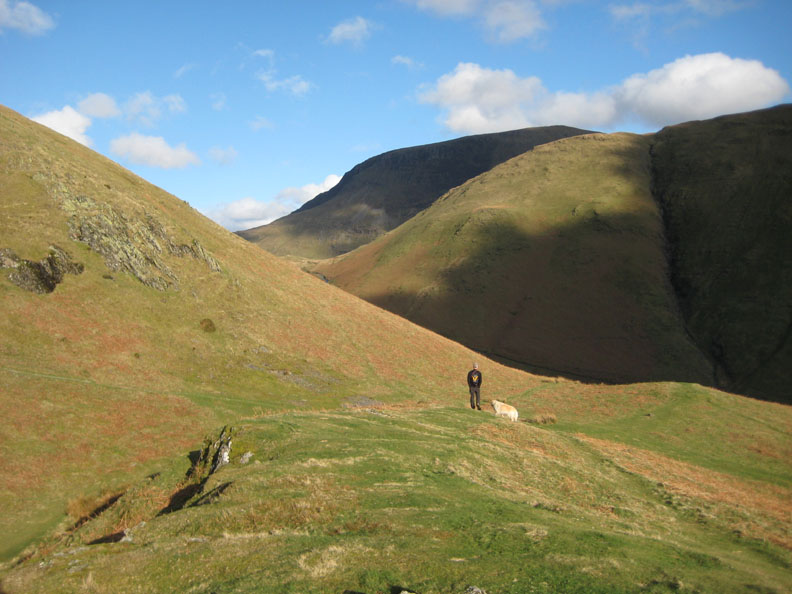
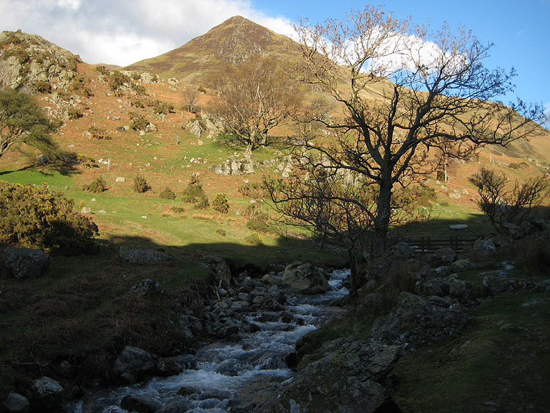
Lad Hows and the valley of Rannerdale Beck as it climbs up behind Whiteless Pike.
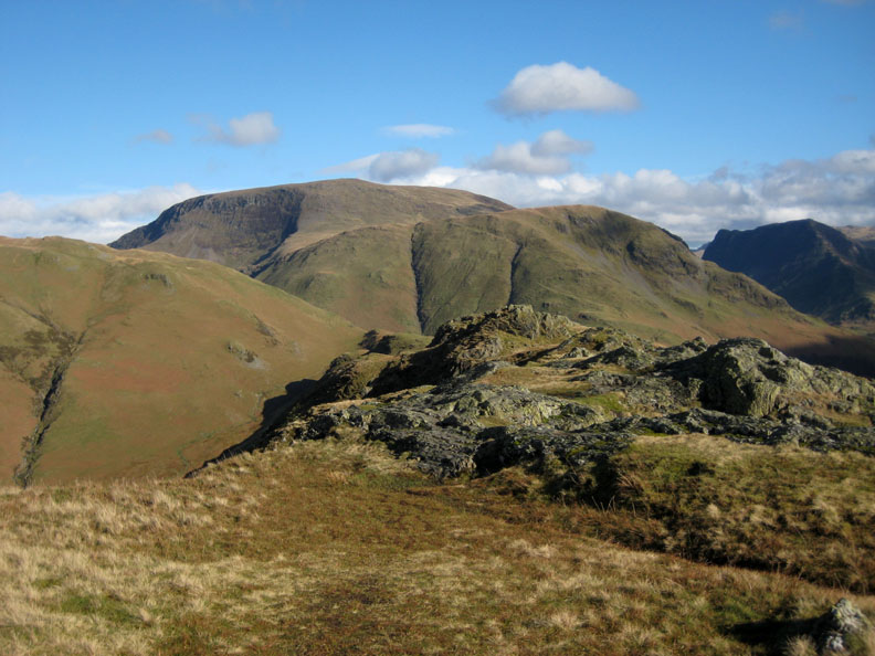
Nearing the second 'knott' of Rannerdale Knotts . . . Robinson and Fleetwith Pike behind.
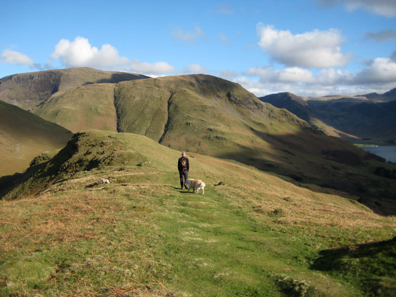
Low Bank continues along in a series of undulations each of which can be climbed in turn.
Bethan drops down the fell side slightly for a better view of High House Crag and the village of Buttermere below.
The sheep fold on Rannerdale, a feature often missed in the summer when the bracken is high.
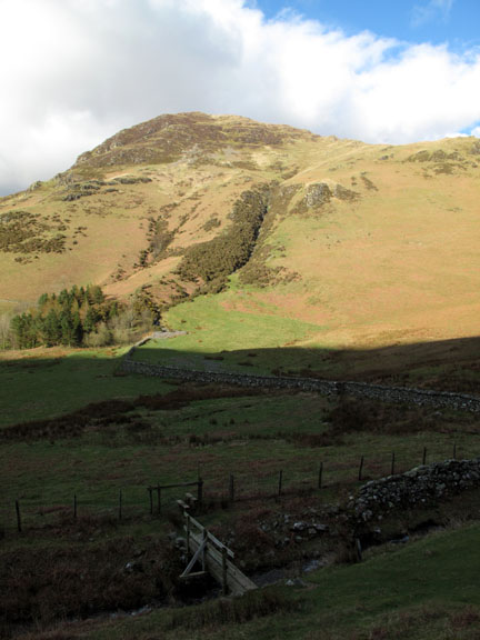
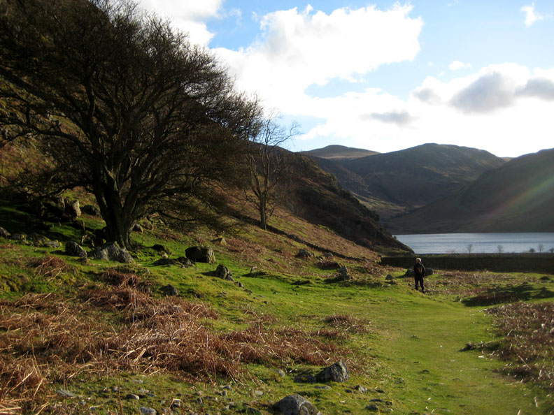
Rather than take the steep and muddy short-cut directly towards the Squat Beck (Rannerdale) valley to the left we continue on to the end of Low Bank closer to Mill Beck Valley, seen here with the Newlands Road up from Buttermere ahead.
From there it was an easy and green path which turns back on itself and heads towards home.
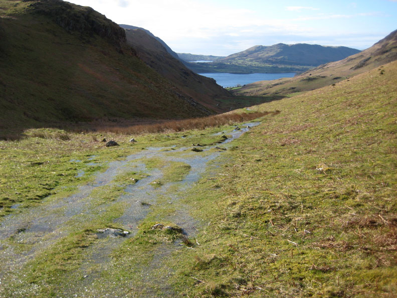
It doesn't stay dry for long though, as water from the last few days rain seeps out from the grass and flowed down the indentations of the path for a hundred yards or more.
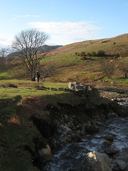
Signs of the 2009 floods are being erased as the grass starts to grow back over the stones. It will be a long time though, if ever, before the soil is once again fully restored to this area of the valley.
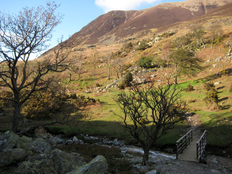
Looking down on the re-positioned bridge.
This area will hopefully be covered in bluebells in a few months time.
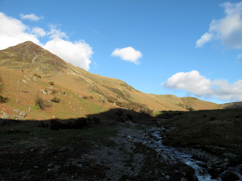
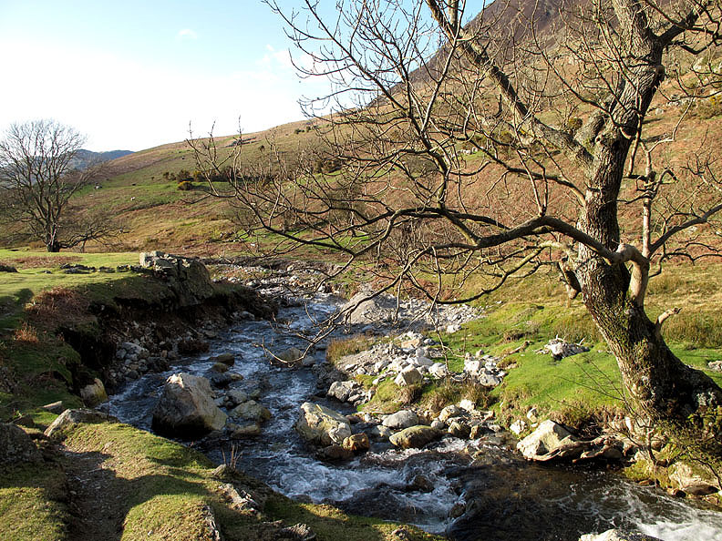
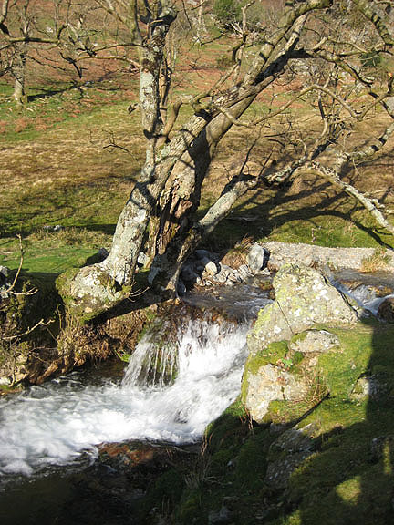
The Rannerdale Beck as it tumbles towards the lake.
As we walk out our eyes were drawn to the impressive high crags above us.
The blue skies have lasted for the whole of the afternoon.
Time to return to the car and make our way home. - - - o o o - - - |
Technical note: Pictures taken with either Ann's Canon 75 or my Canon G10 digital camera. Resized in Photoshop, and built up on a Dreamweaver web builder. This site best viewed with . . . sunshine after the rain. Go to Top . . . © RmH.2011 . . . Email me here Previous walk - 29th March 2011 Lowe Alpine / Fishers Latrigg Walk A previous time up here - 20th June 2010 Rannerdale with Gareth& Kathryn Next walk - 6th April 2011 Calvert Trust and Walla Crag
|