![]()

Remember: Press F11 for a full
screen view of this page.
|
|
|
Remember: Press F11 for a full
screen view of this page. |
|
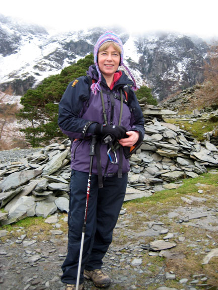
" Castle Crag via Honister Snow " Date & start time: February 2011, pm start. ( NY 252 174 ) Location of Start : Road-side on the Hollows Farm track, Grange, Cumbria, Uk. Places visited : Castle Crag via the Broadside Gill track and back via the river side. Walk details : 3.6 mls, 900 ft of ascent, 2 hrs 30 mins. Highest point : Castle Crag, 951ft - 290m. Walked with : Jo, Ann and the dogs, Jodie, Harry and Bethan. Weather : Mmm . . . damp and grey with cloud covered snow on the higher fells
|
Castle Crag via Honister Snow at EveryTrail [ Alter the settings to zoom or change the Map, use Everytrail to download the Gps route ] |
|
Jo is over for the weekend and in view of the poorer conditions we opt for the lowest of the Wainwright Fells. Castle Crag is a delight in any weather and today we climb it from Grange walking by the river on our return.
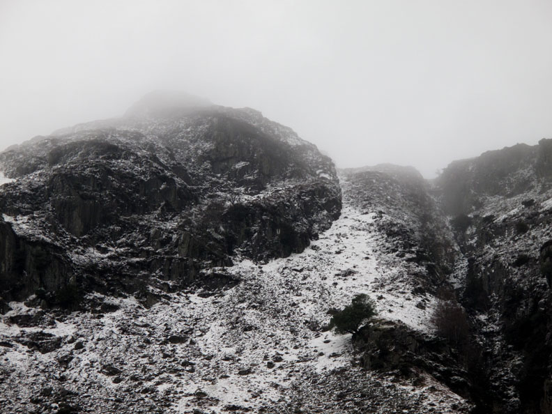
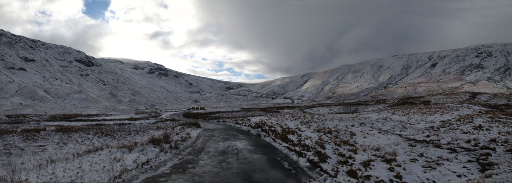
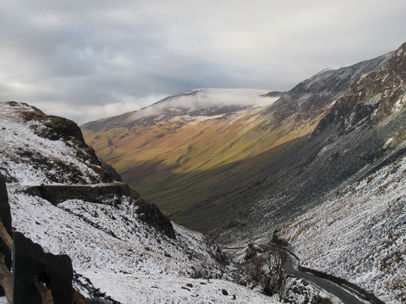
The snow of three days ago has been added to by an overnight fall of rather damp snow on the high fells. We drive over Honister Pass heading for Borrowdale but stop briefly to enjoy the black and white scenery.
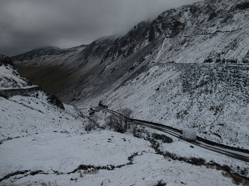
From the mine car park we look back down the rather grey Honister Pass as a camouflaged white delivery van drives slowly down the road on the Buttermere side.
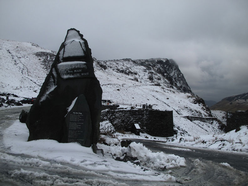
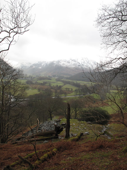
Those clouds look very grey today and the high fells are not as inviting as they were three days ago when we climbed Dale Head from here.
No-one has tried to use the National Trust car park today witnessed by the fact that the drive down to it is still covered in snow.
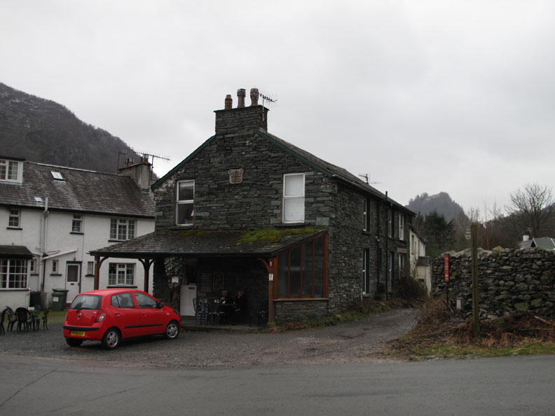
We stopped in Grange Village opposite the tearooms and this rather nicely modernised cottage.
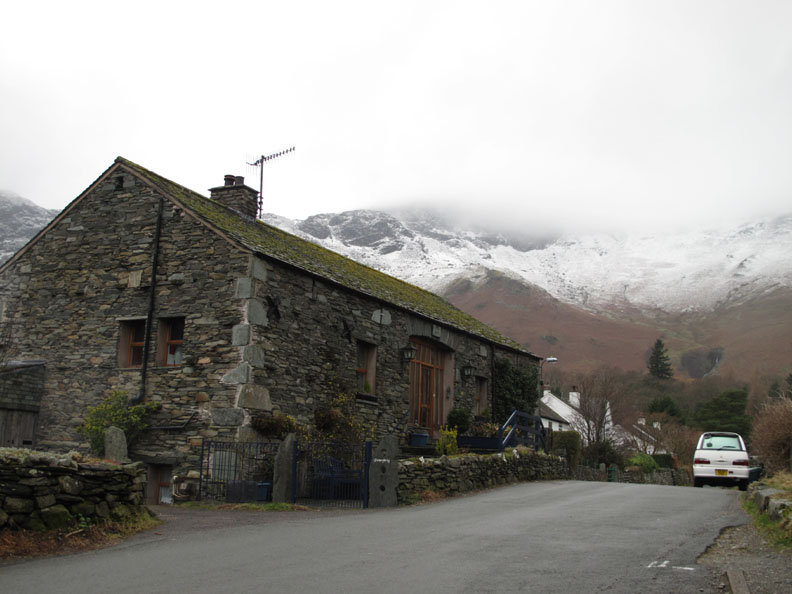
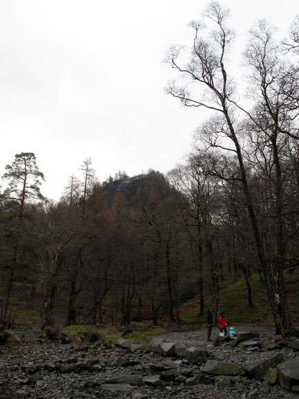
Castle Crag, today's " object of desire " can be seen behind the cafe in Grange. We ended up driving down the lane alongside the cafe for about a hundred yards and found a good parking area. - - - o o o - - -
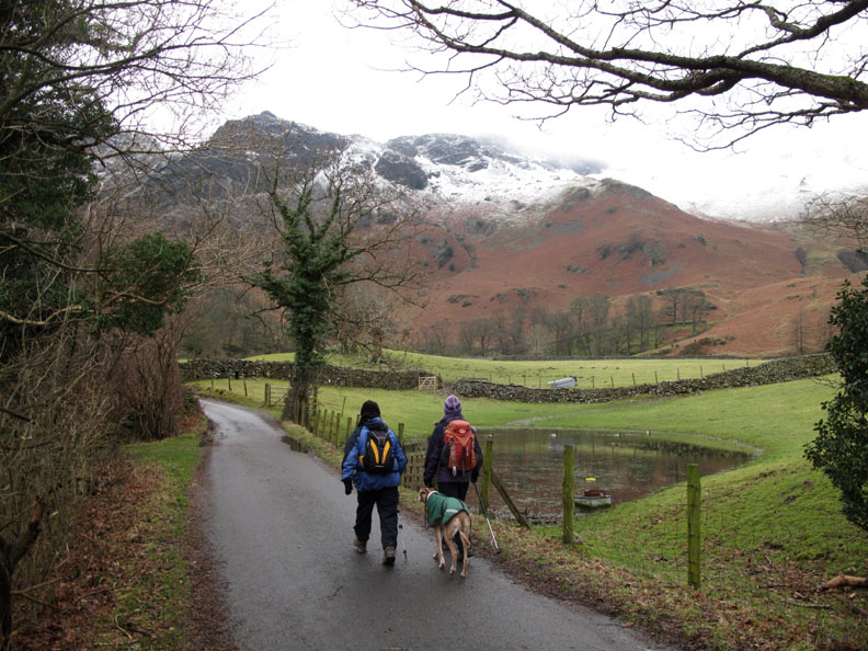
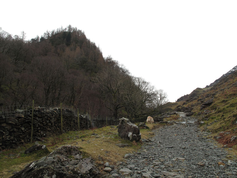
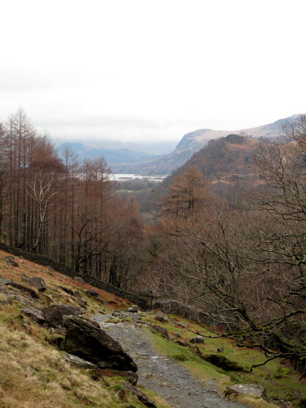
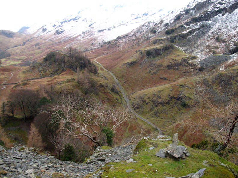
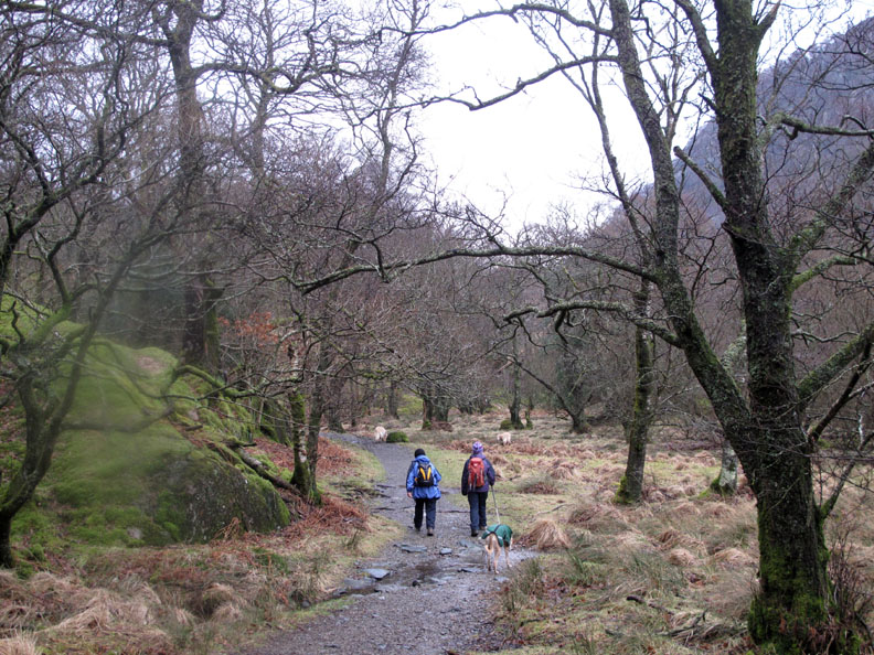
The walk underway . . . on the track to Hollows Farm. The slopes of the Nitting Haws ascent of Maiden Moor is ahead.
However we stay down low a little longer as the road past the campsite changes to an unmade gravel track and returns to the river level.
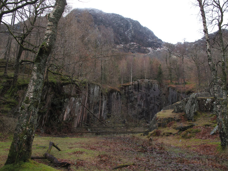
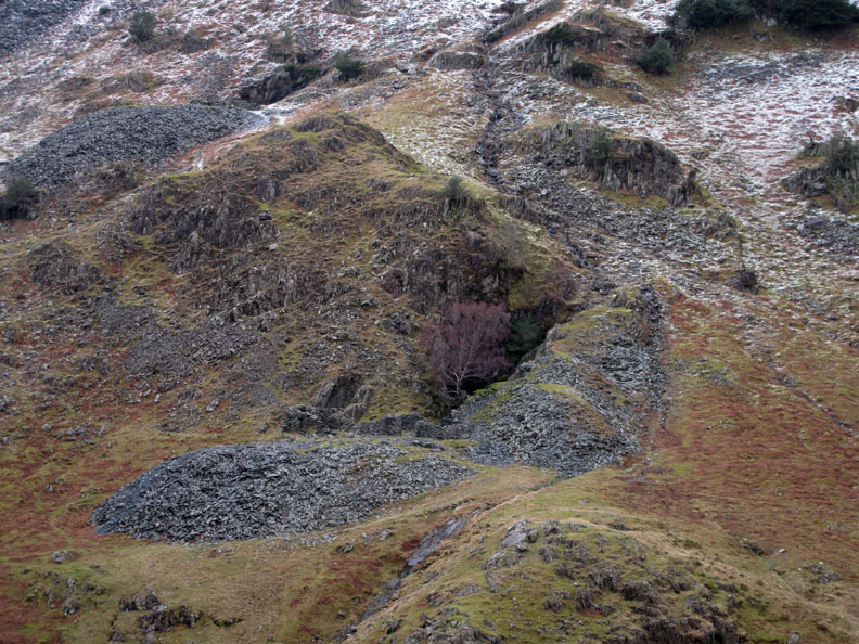
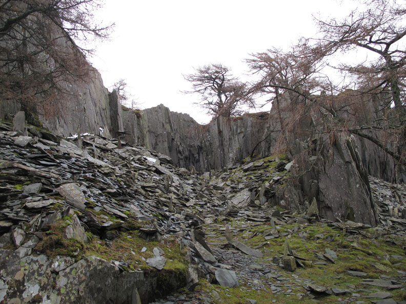
This whole area has been subject to much slate mining and quarrying in years gone by.
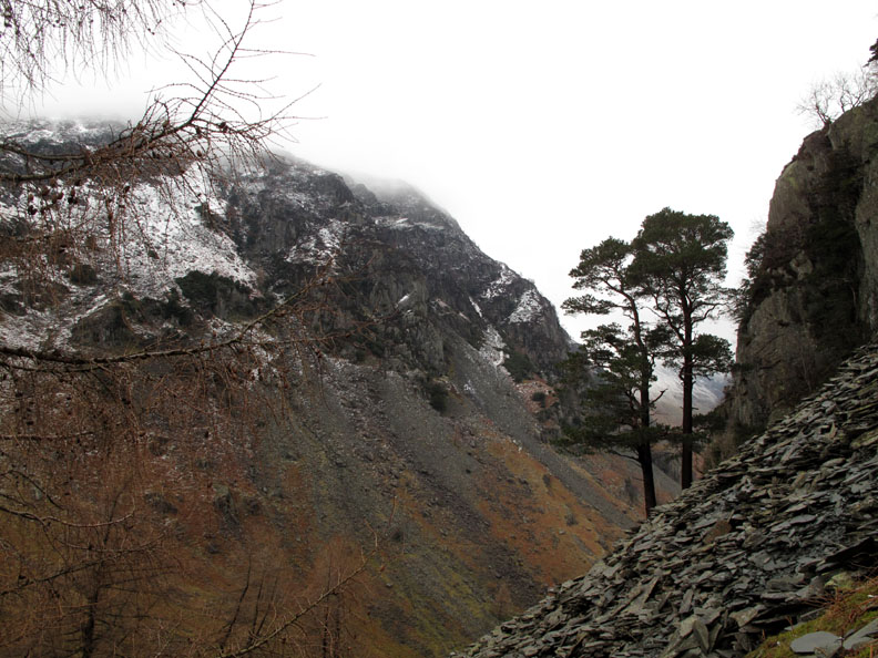
The Allerdale Ramble follows up the Broadslack Gill valley. This is the classic path around the back of Castle Crag and was the pony track for the early slate carried down from Honister.
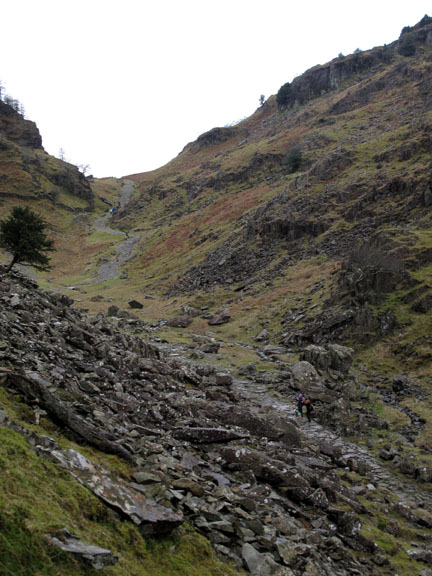
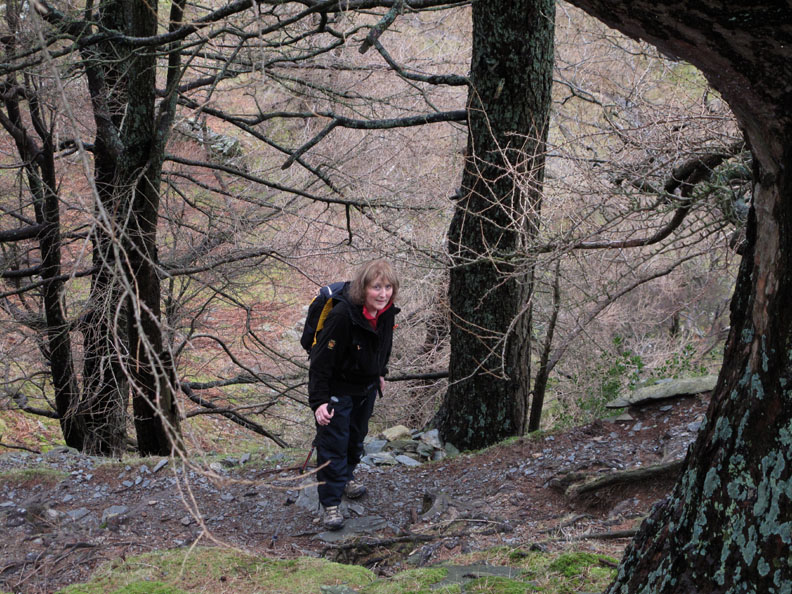
I decide to climb via the path to the pine trees whilst the girls follow the main track a little further up the valley (spot the two walkers below).
Time to enjoy the view across to several old mine workings.
High above them, the cloud and snow covered slopes of High Spy.
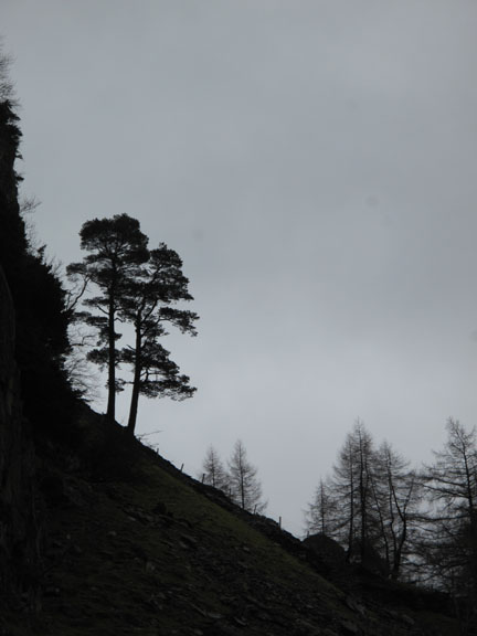
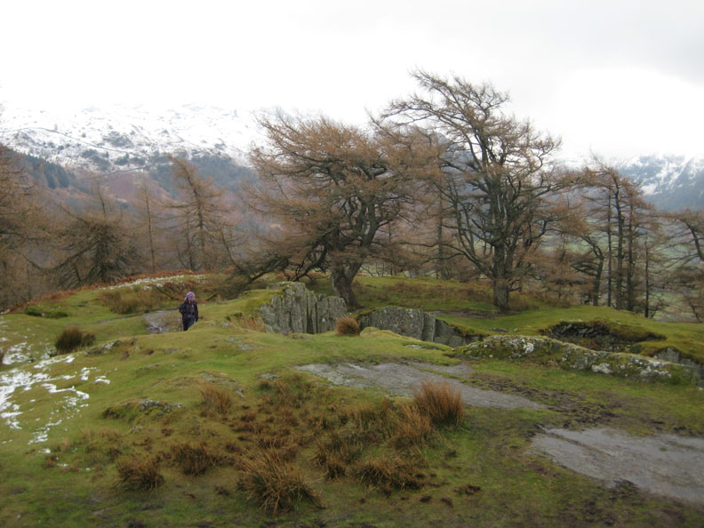
Looking back at the pines from the normal path up the fell.
Jo and Ann are not far away.
Photo opportunity number one.
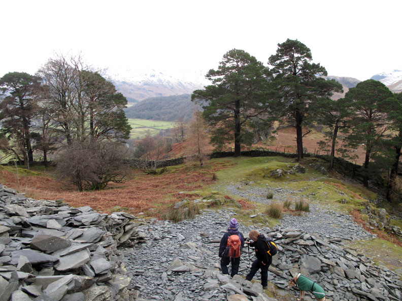
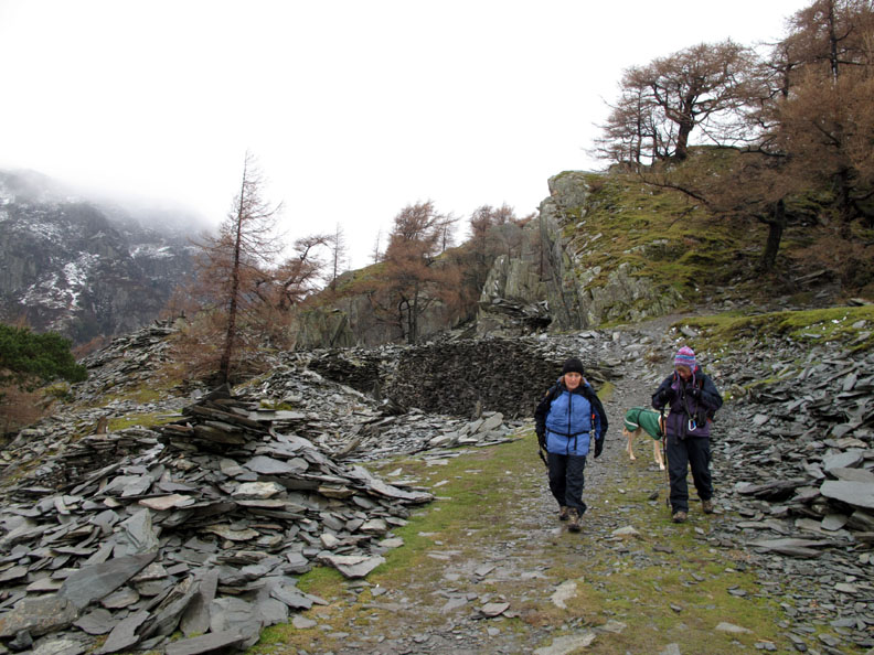
Onto the last of the climb now as we start the path up through the slate tailings. If you have time to stop and play, take a piece of wood as a drumstick and see how many different notes you can play on the stones. Feeling encouraged . . . call into Keswick Museum and do it for real on their Slate Xylophone.
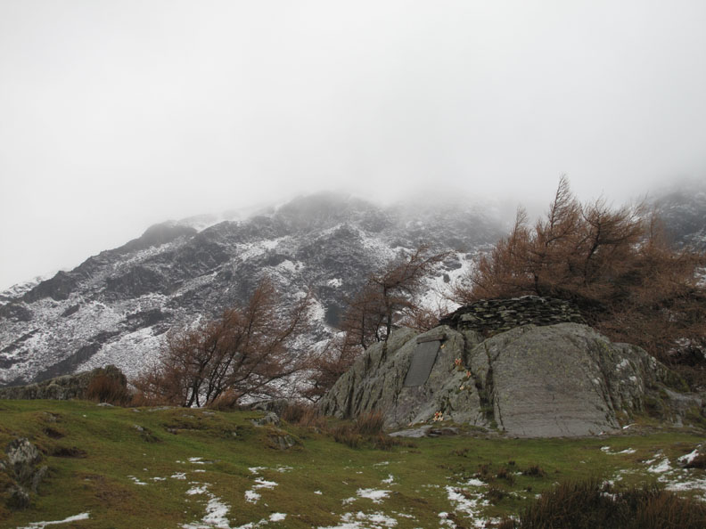
Up onto the flat at the entrance to the top quarry on Castle Crag.
I check out Jo's Camera menus looking for the shutter sound. Oh . . . if I only had the confidence that she appears to think I have !
Time for a short diversion again as I go left and up whilst the girls stay on the normal path to the right of the quarry area.
There are many examples of recently made standing stones in the quarry but this one on the edge particularly caught my eye.
Looking down on the old road that leads past Castle Crag. It continues on, following the wall all the way up to Honister Pass.
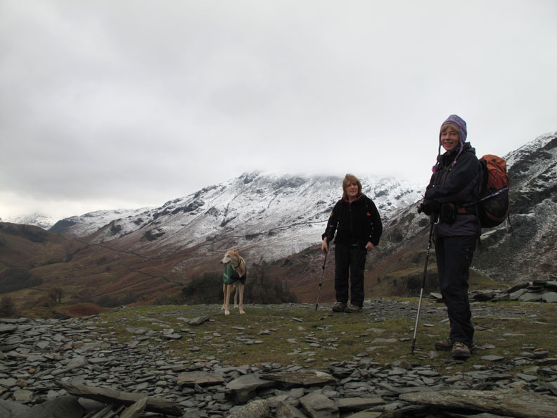
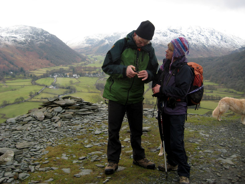
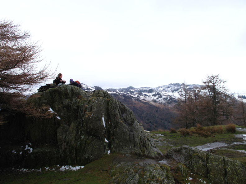
Jo makes it to the summit and looks down on the quarry area from above.
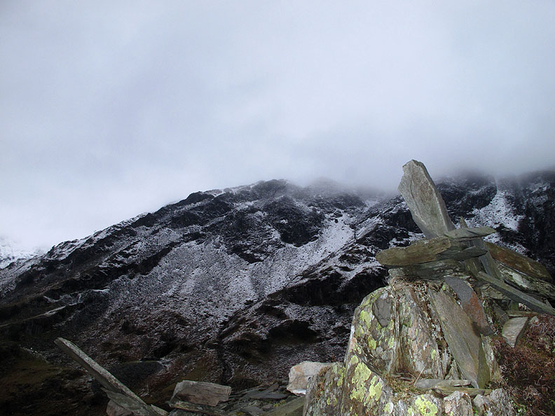
The Remembrance Crosses are still in place adjacent to the War Memorial which is set into the side of the rock below the stone platform on the actual summit.
The girls beat me to the top this time . . . but who's worried . . . it's not a race.
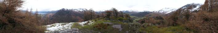
Click here or on the photo above for a Loweswatercam 360 degree annotated panorama from the top.
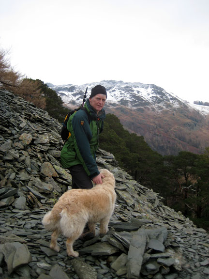
Summit accomplished . . . time to walk back down and continue the rest of the walk.
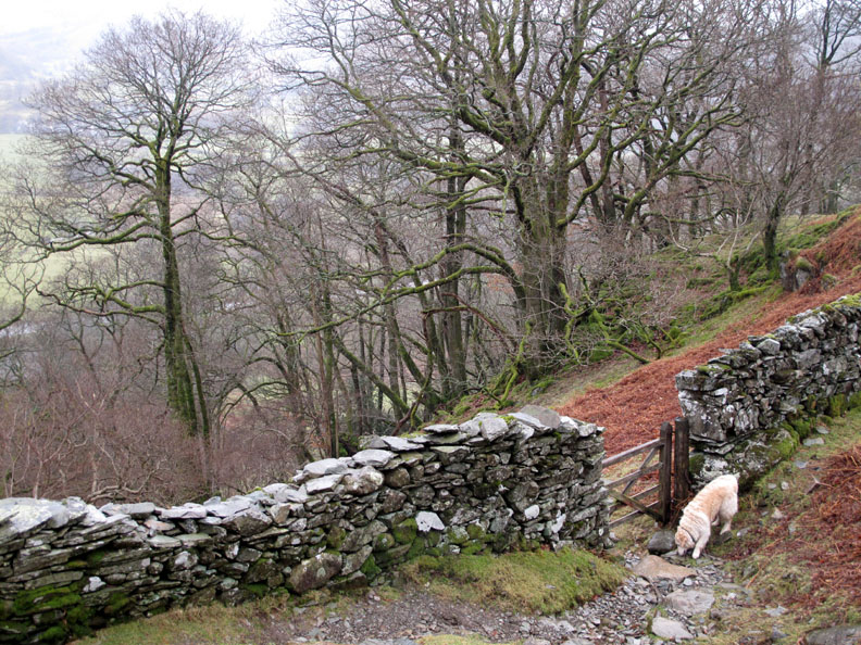
We descend on the eastern side, using the gate on the Rosthwaite path.
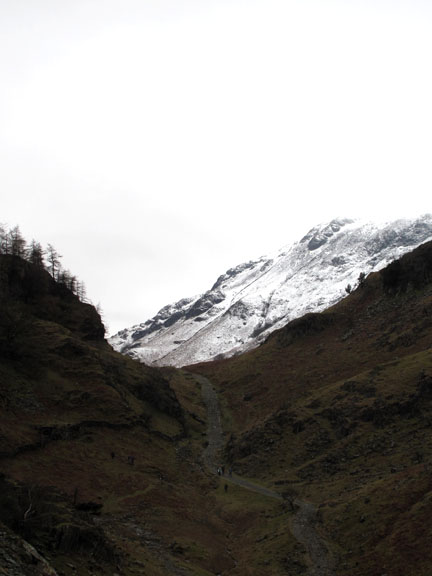
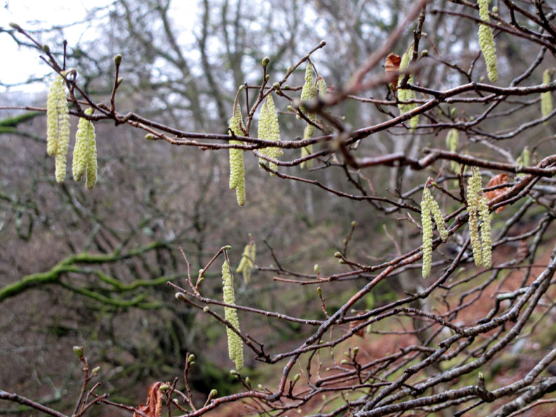
Snow on the high fells but Spring is definitely here in the valley.
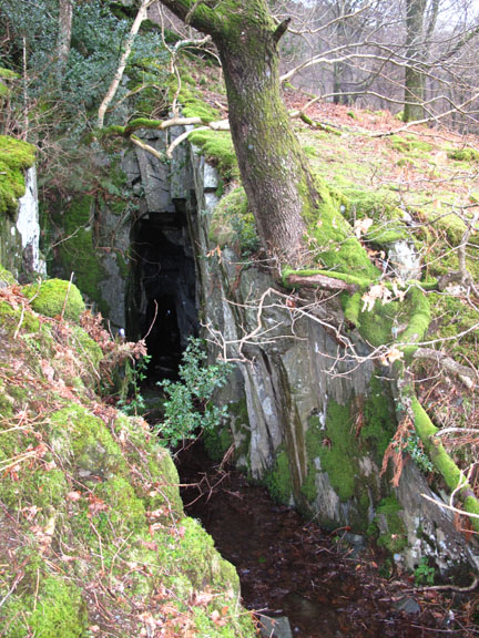
- - - o o o - - - Late Extra : High on Castle Crag above this area is the old quarry cave beloved of Millican Dalton. Keswick Canoe Company are now offering "Millican days out" where you can experience life in the outdoors for a day. ( Sample his techniques of self sufficiency - selecting and gathering natural edibles, collecting fire lighting materials, cooking one of his staple campfire meals, and paddling down his local highway! . . . your local guides Paul and Claire Weller.) - - - o o o - - -
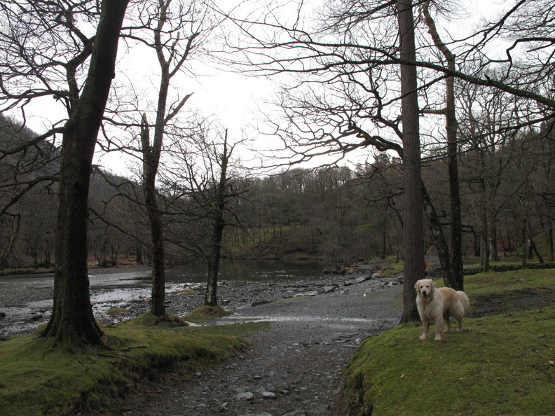
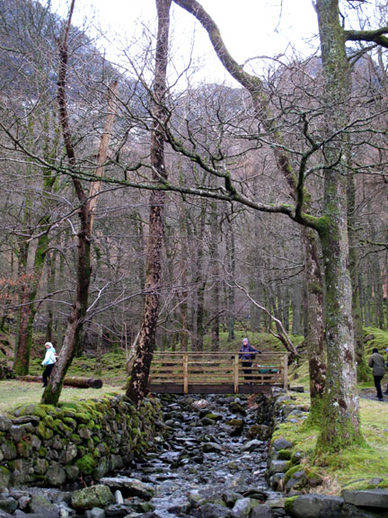
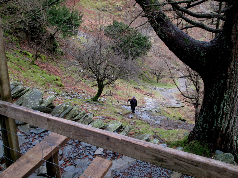
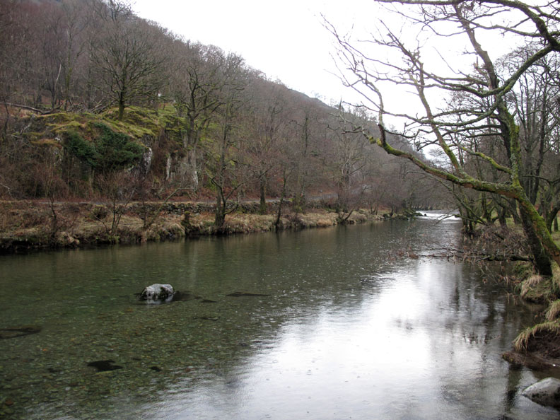
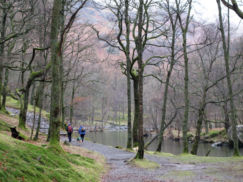
Down by the river we turn left and head through the woods, downstream towards Grange once more.
Calm water with slight rain water splashes.
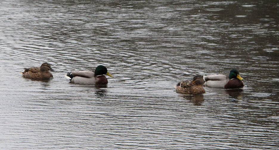
Rain ? . . . it's just water off a duck's back to them.
The shower never came to anything and by the time we got back to the Broadslack path it was dry again. - - - o o o - - - Time to drive home and after leaving Grange we retraced our road route back over Honister. Delightfully, the weather had improved and there was even a bit of sunshine about.
Click here or on the photo above for a larger Loweswatercam photo.
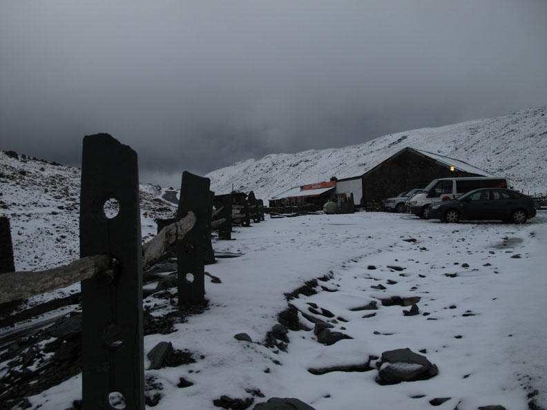
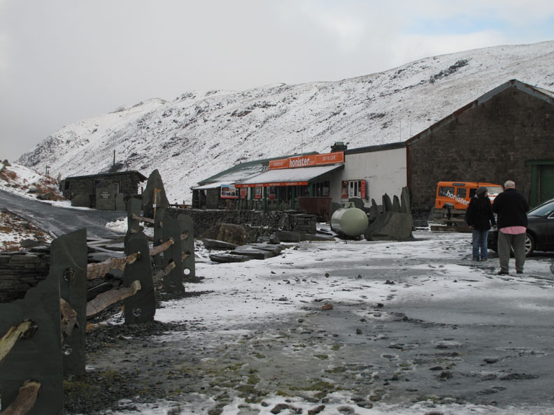
Dark grey skies have been replaced by lighter clouds at the Mine shop.
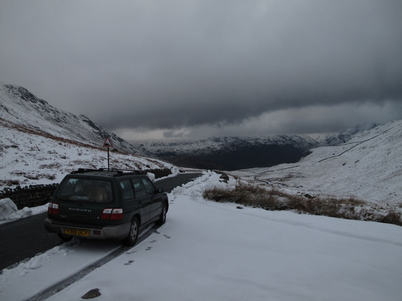
Repeating the earlier photo but without the van . . . Sun and green grass ahead of us this time on the flanks of Robinson. - - - o o o - - -
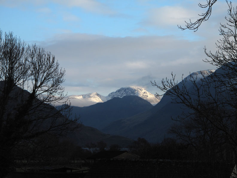
Back in the garden just half an hour later . . . sunshine on Great and Green Gable to end the afternoon. - - - o o o - - - |
Technical note: Pictures taken with either Ann's Canon 75 or my Canon G10 digital camera. Resized in Photoshop, and built up on a Dreamweaver web builder. This site best viewed with . . . a spare pair of drumsticks for those special occasions. Go to Top . . . © RmH.2011 . . . Email me here Previous walk - 16th February 2011 Dale Head with Ian A previous time up here - 19th April 2005 Castle Crag and Millican Dalton's Cave Next walk - 1st March 2011 Arnison Crag and Birks
Next event - 17th - 19th February 2011 Tethera Play 2011 "Party Piece"
|