![]()

Remember: Press F11 for a full
screen view of this page.
|
|
|
Remember: Press F11 for a full
screen view of this page. |
|
" Sunny Ling Fell " Date & start time: Thursday 10th February 2011, 4 pm start. Location of Start : The fell road, Wythop Beck Valley, Cumbria, Uk ( NY 183 291 ) Places visited : Burthwaite, Ling Fell and back. Walk details : 2 mls, 600 ft of ascent, 1 hrs 10 mins. Highest point : Ling Fell 1224 ft - 373 m. Walked with : Myself (Ann) and the dogs, Harry and Bethan. Weather : Sunny, blue skies and quite warm for the time of year.
|
[ Alter the settings to zoom or change the Map, use Everytrail to download the Gps route ] |
|
A beautiful sunny day and chance to get out and give the dogs a walk on one of my favourite fells just a little further away from Loweswater. We woke to a fine sunny morning with last night's heavy rain clearing away leaving beautiful cloud effects on the fell sides.
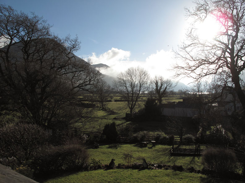
Looking across the garden from our bedroom window. Grasmoor is on the left, clouds drift across the Whiteless ridge and behind Rannerdale Knotts. Crummock shines in the sun with the High Stile ridge in profile to the right.
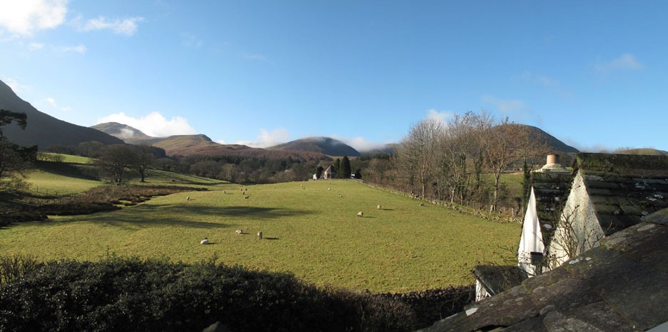
Looking to my right out of the window and over our roofs, the lower slopes of Mellbreak to the left, Hen Comb and the Loweswater fells centre stage, still with some clouds clinging to their slopes. Loweswater Church and the Kirkstile Inn can be seen at the top of the lane. - - - o o o - - - Later this afternoon I set off for a short drive with Harry and Bethan.
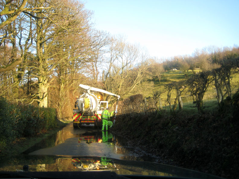
I am delayed for a few minutes whilst workmen attend to a blocked culvert.
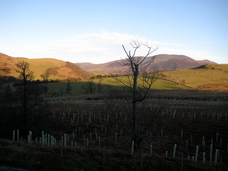
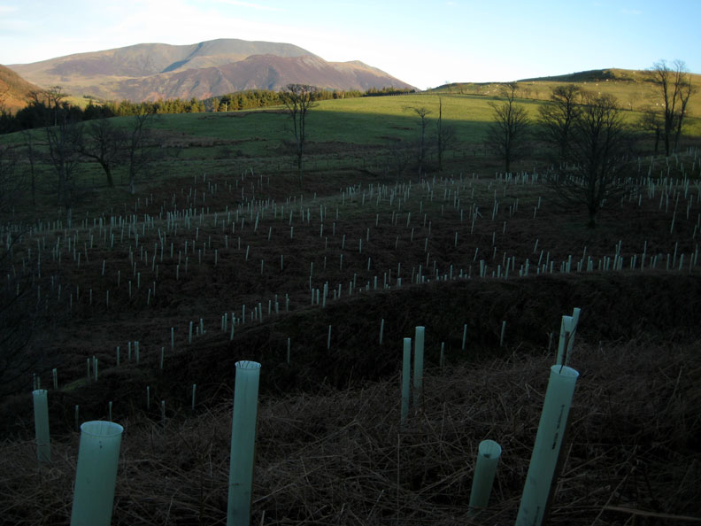
Destination reached and car parked, I set off up the track on the east side of Ling Fell. Sale Fell to my left, with Skiddaw in the background above the new tree planting.
A closer view.
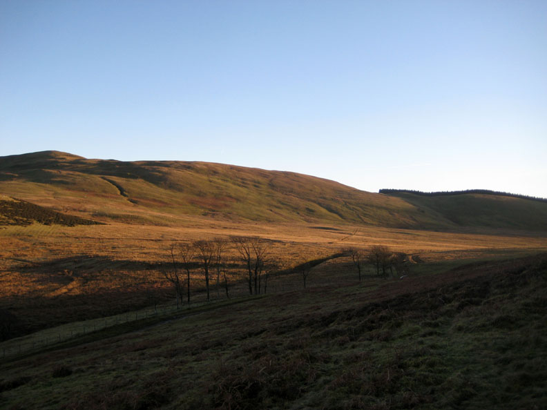
Looking towards Broom Fell with the distinctive Widow's Hause tree formation on the sky line.
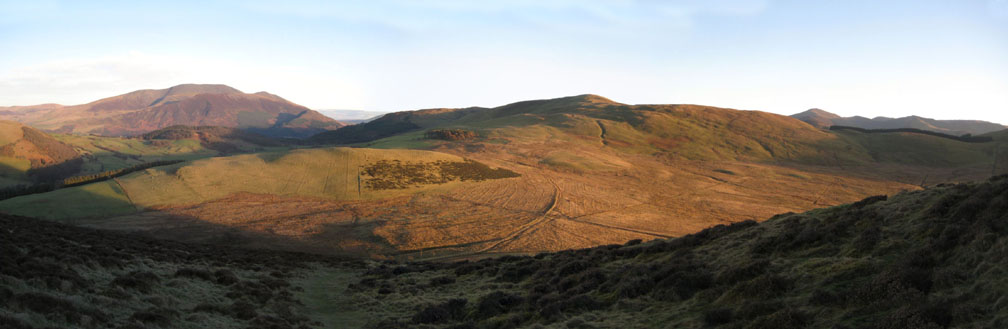
A panoramic view as I ascend the fairly steep grassy slope of Ling Fell. Skiddaw, Broom Fell and the pointed peak of Grisedale Pike are clearly seen on this fine day.
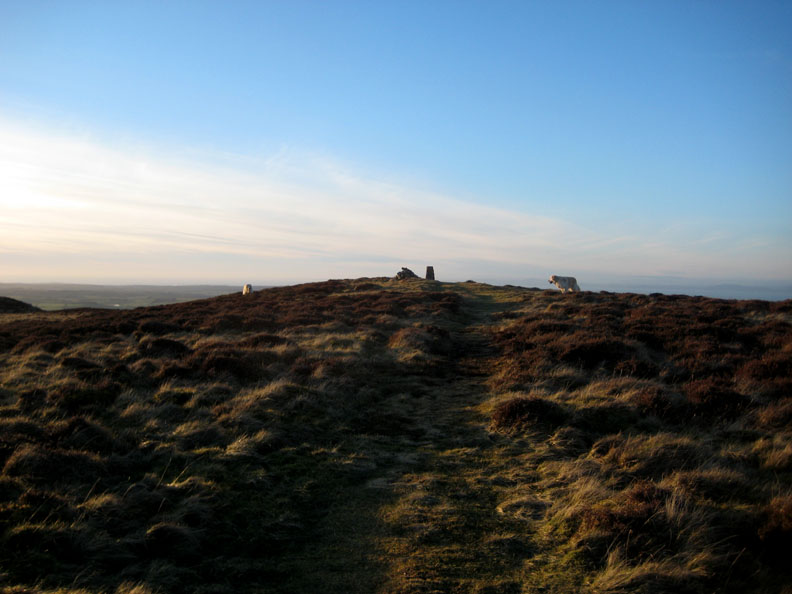
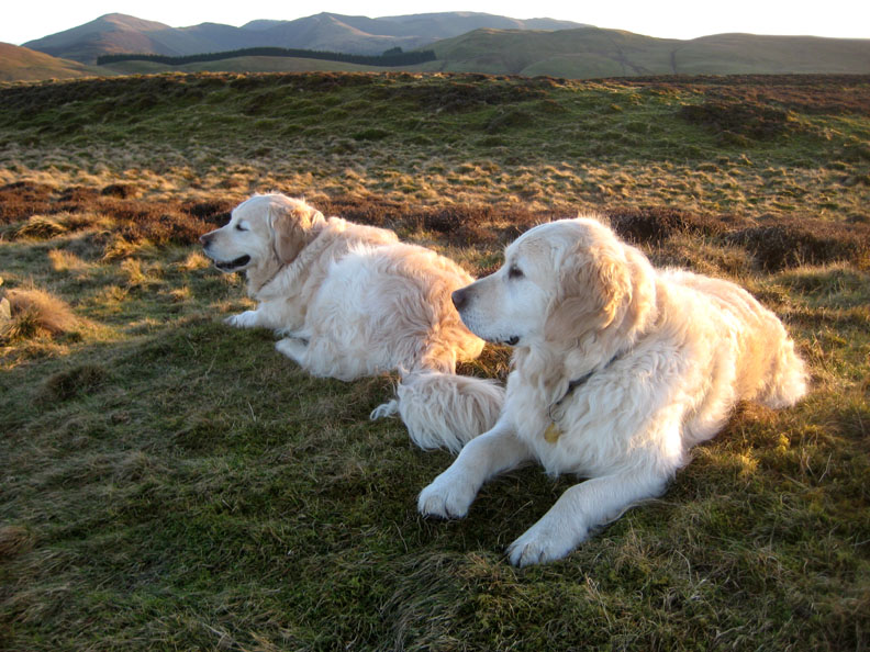
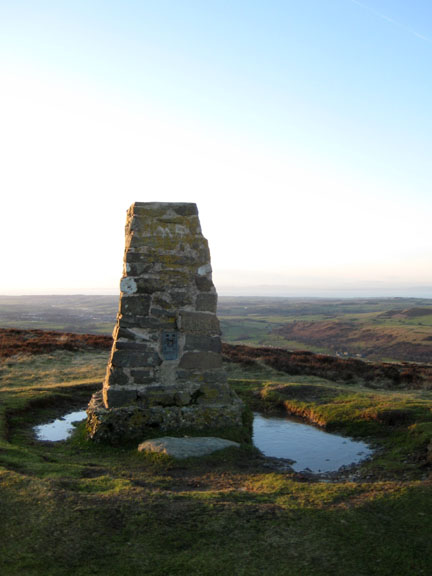
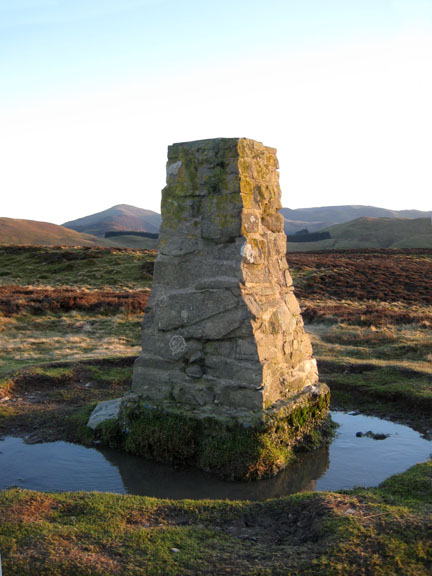
The top ridge is reached, summit cairn, trig point and two retrievers ahead !
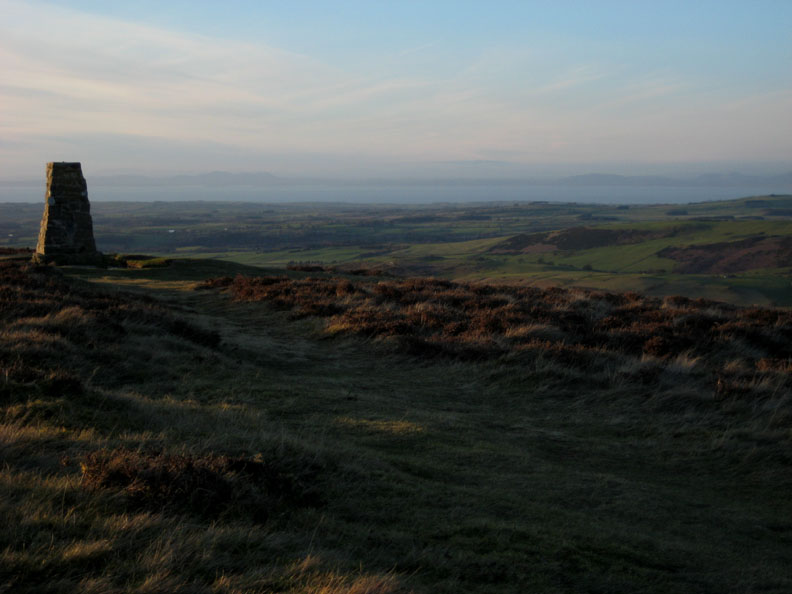
The cairn with the Scottish coastline across the Solway.
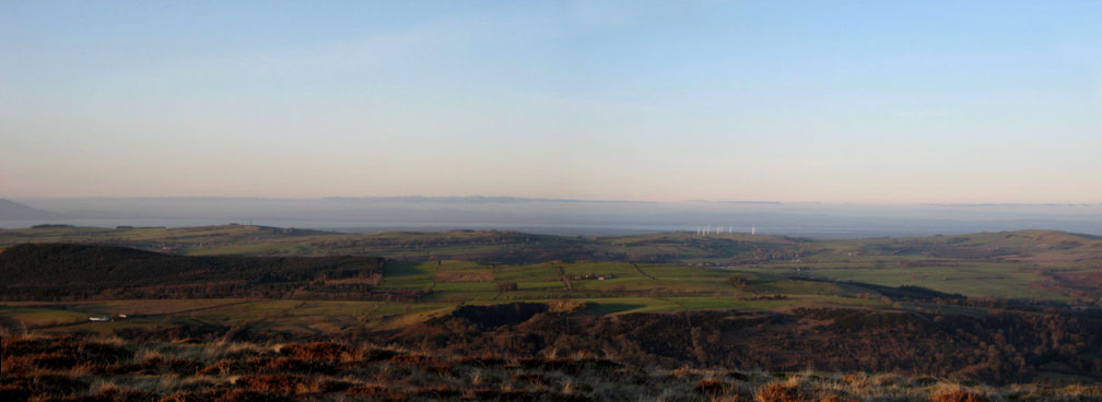
This panorama shows a slightly misty inversion over the Solway.
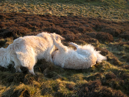
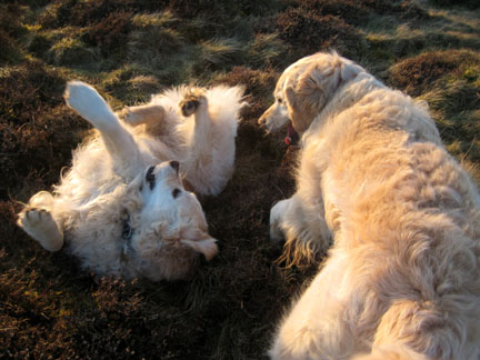
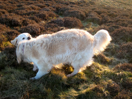
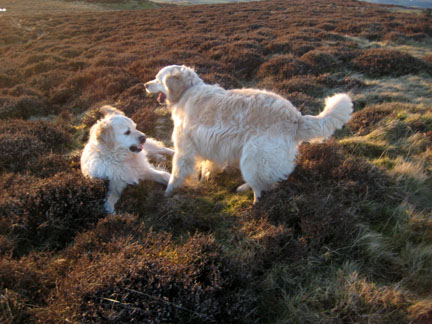
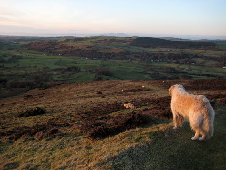
Bethan and Harry are taking in the view and being good dogs . . .
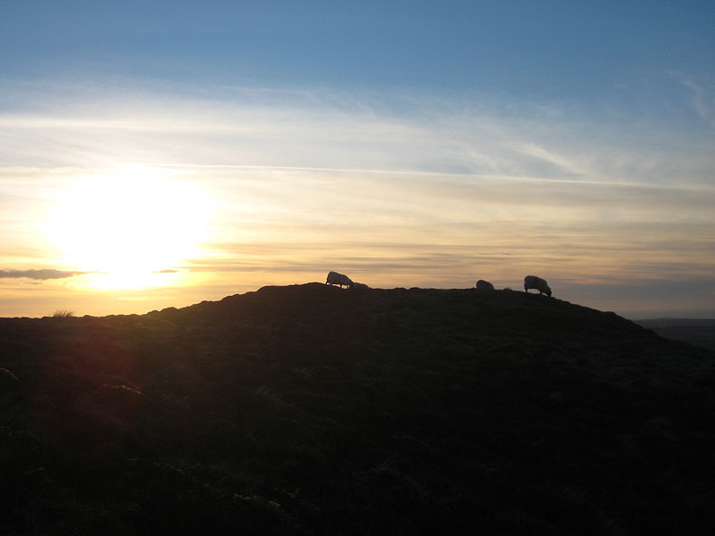
Sheepy silhouettes.
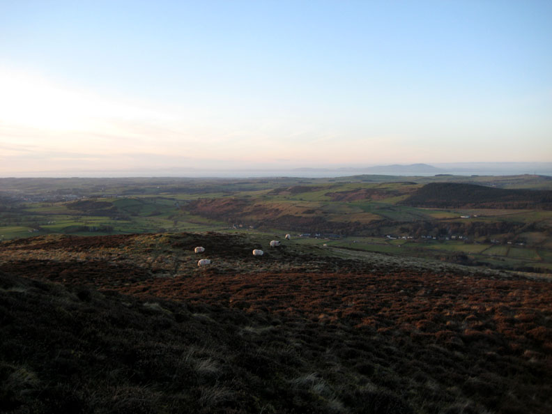
We are now walking down the far side of the fell, here looking across the A66 towards Embleton. Criffel is the Scottish peak on the opposite coast.
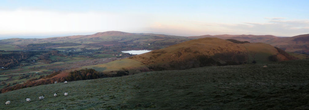
Bassenthwaite Lake just beyond Sale Fell, with Binsey behind and the Back o' Skidda fells to the right.
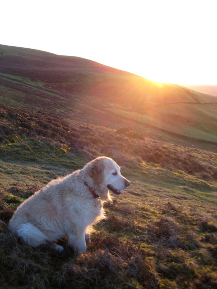
It is still quite warm as we make our way down in the slowly setting sunlight.
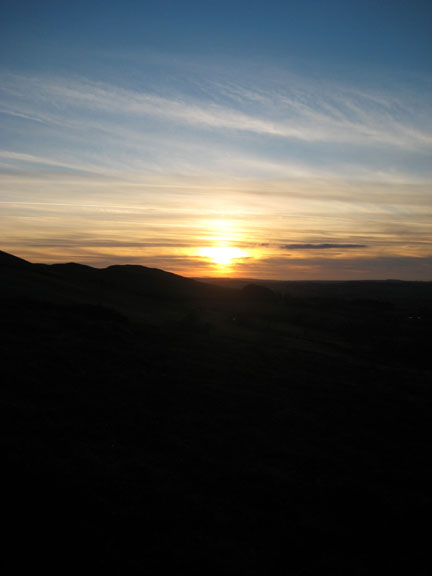
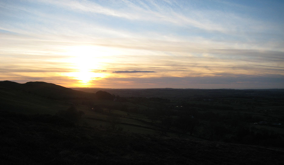
Our final view as we turn the corner and descend via the Corpse Road back to the car. - - - o o o - - - |
Technical note: Pictures taken with my Canon Ixus 75 digital camera. Resized in Photoshop, and built up on a Dreamweaver web builder. This site best viewed with . . . my dogs, sun and solitude. Go to Top . . . © RmH.2011 . . . Email me here Previous event - 9th February 2011 The 2011 Tethera Play - planning A previous time up here - 19th November 2006 Blowing the cobwebs away on Sale and Ling Next walk - 12th February 2011 Low Fell with the Dogs
|