![]()

Remember: Press F11 for a full
screen view of this page.
|
|
|
Remember: Press F11 for a full
screen view of this page. |
|
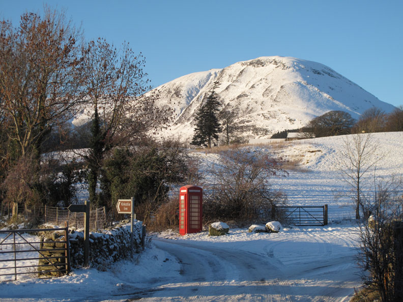
Early Rannerdale in the Snow Date & start time: Wednesday 8th December 2010, 9.30 am start. Location of Start : The red phone box, Loweswater , Cumbria, Uk ( NY 143 211 ) Places visited : Hause Point, Rannerdale. Walk details :1 mile, 150 ft of ascent, a shorter walk this morning. Highest point : Hawes Point 550 ft - 169 m ( 200 ft above lake level ). Walked with : Myself (Roger) and the dogs, Harry and Bethan. Weather : A beautifully sunny, winter morning. [ Alter the settings to zoom or change the Map, use Everytrail to download the Gps route ] |
|
An early drive to Rannerdale once the sun was up . . . Ok I had a bit of a lie-in . . . in order to enjoy the winter wonderland views that the current weather is offering.
Walked with :- Myself and the dogs, Harry and Bethan. Just three of us out for this short drive to Rannerdale and a modest walk around the Hause.
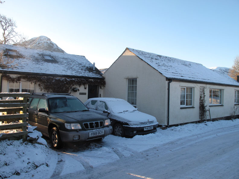
First, defrost the car after another double minus overnight frost.
Staring point . . . the red phone box.
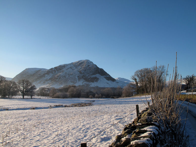
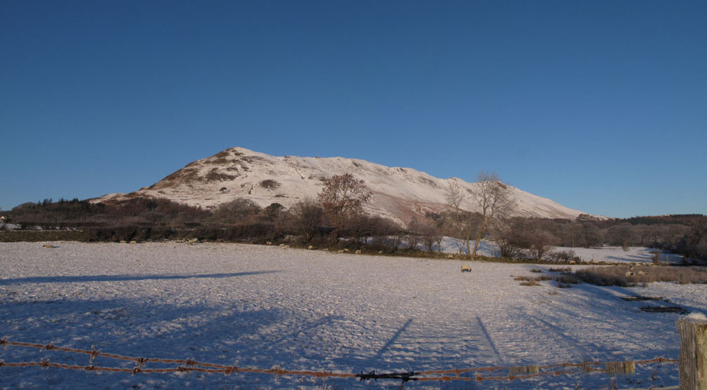
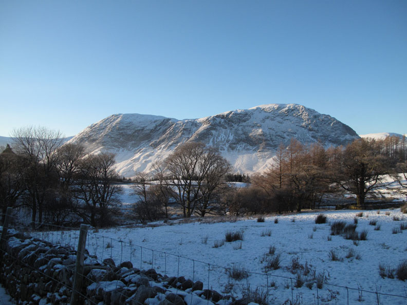
Just had to stop the car for the view across the fields to Mellbreak . . .
. . . and for the view the other direction to Low Fell.
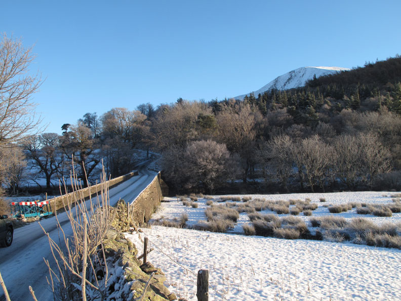
The bridge at Scale Hill . . . technically not yet fully repaired as there are still some road barriers to one side.
Up the hill thanks to some local gritting over the last few days.
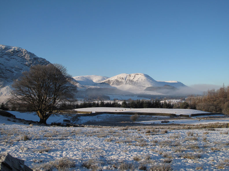
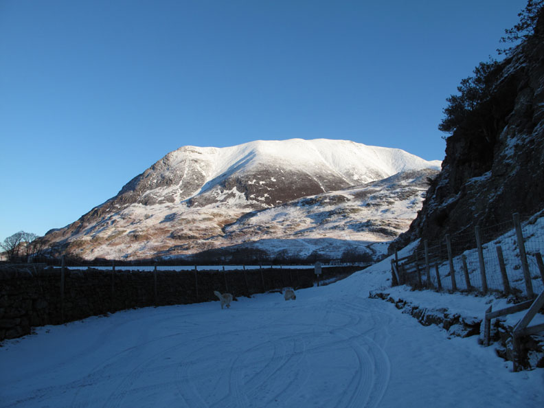
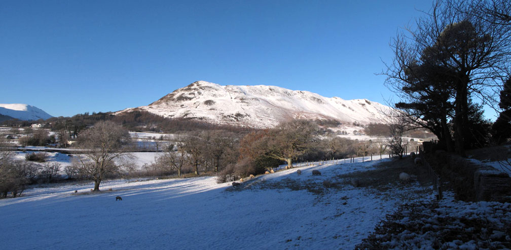
Second stop at Lanthwaite Green. The sun is just catching the top of Whiteside giving it a dazzlingly white summit.
Looking across the fields to Mellbreak.
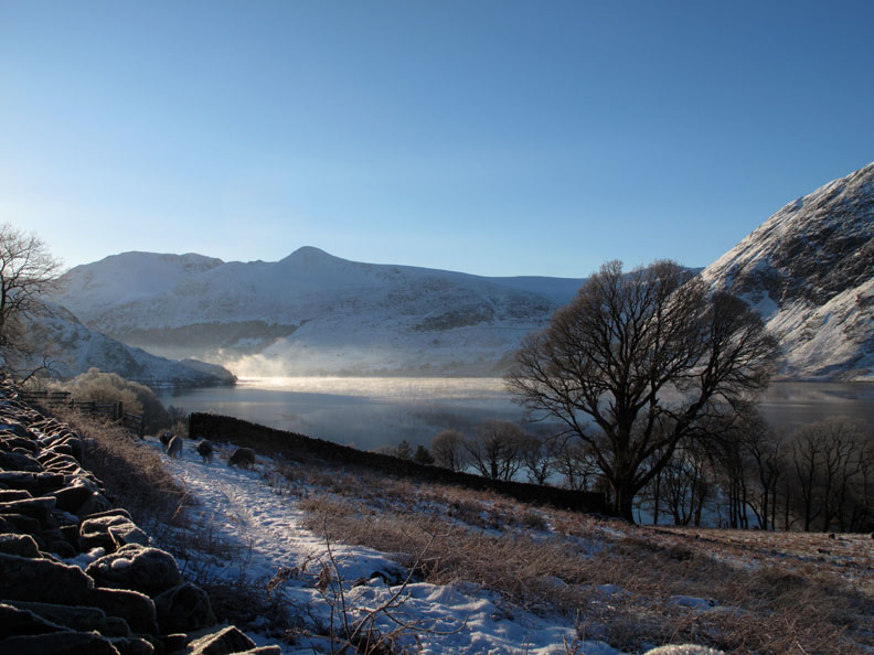
Some valley mist still hovers over Loweswater.
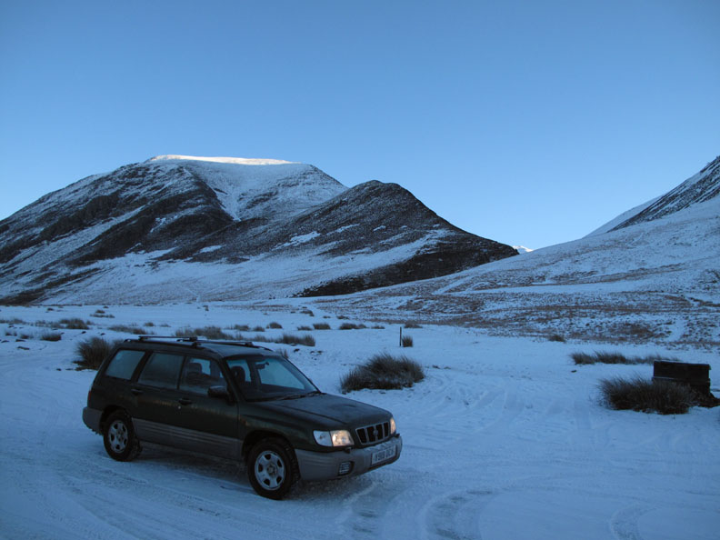
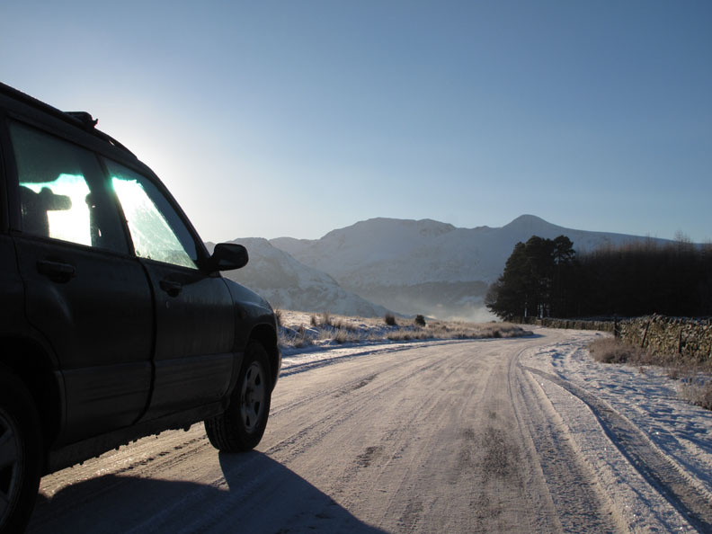
Time to move on . . . I'm fortunate with four wheel drive. Several friends and acquaintances have commented this year on how good their 'winter-tyres' have been on their two wheel drive vehicles.
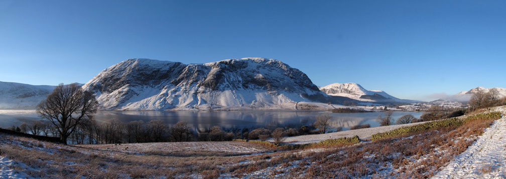
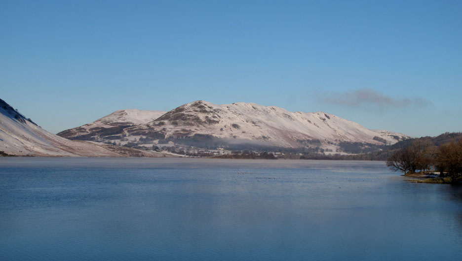
From the high ground before Cinderdale . . . Click here or on the photo above for a larger Loweswatercam panoramic picture
There's an unusual mist effect on the lake . . . Lets hope it stays long enough for me to get over there and appreciate it close up.
Parking at Hause Point . . . not a lot of cars today !
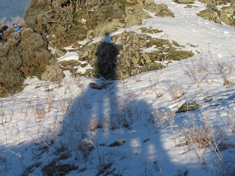
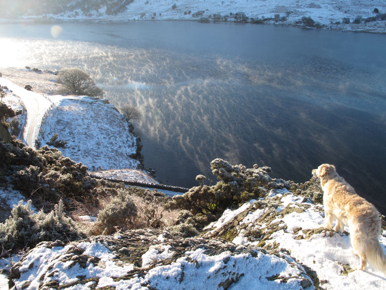
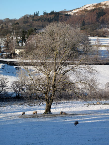
Bethan is already over on the small headland at the other end of the beach . . . no waiting for us then. The snow makes Gale Fell opposite stand out more than normally does. (Starling Dodd is the one behind) The trees in the distance (central to the photo) hide the Scale Force waterfall which drains water from the side of Gale Fell.
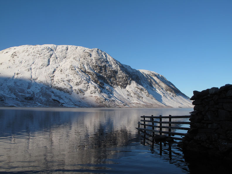
The fence at the beach reflects in the nearly calm waters of the lake.
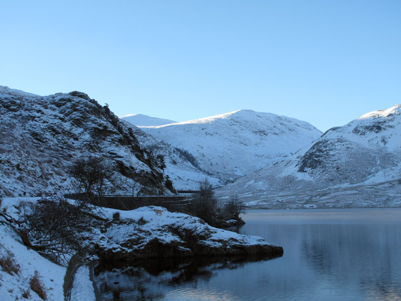
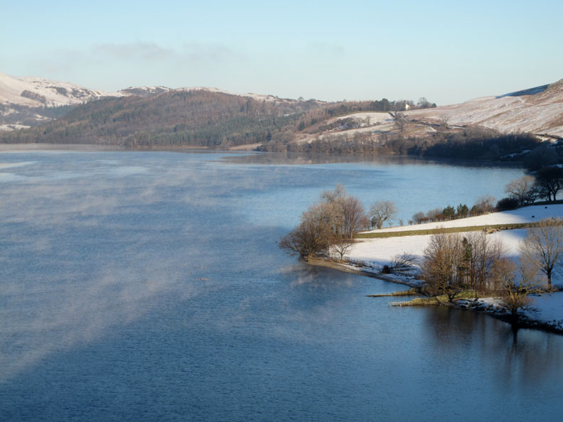
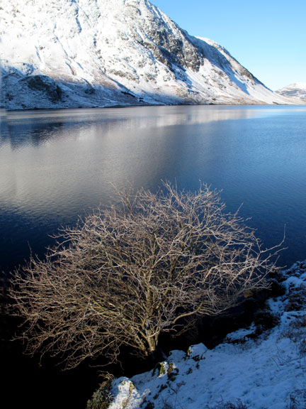
Looking north down the length of Crummock Water. That mist is dispersing along the length of Low Fell . . . but there's more on the lake hiding some rafts of Geese.
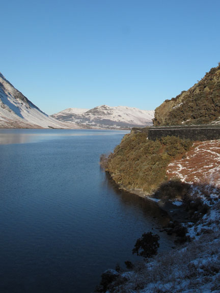
The lake is steaming in the cold conditions . . .
. . . a most unusual sight, especially when viewed into the sun. [ It must be the water evaporating from the lake and immediately turning to water droplets in the cold air.]
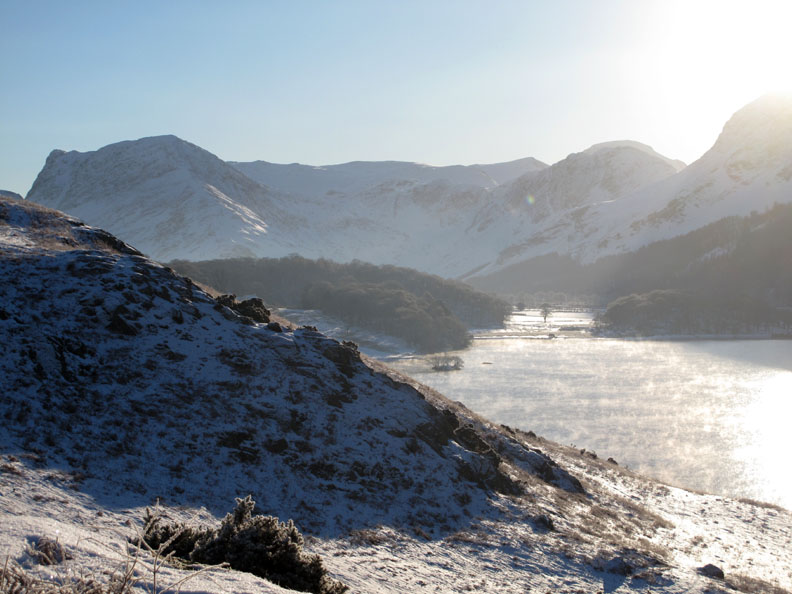
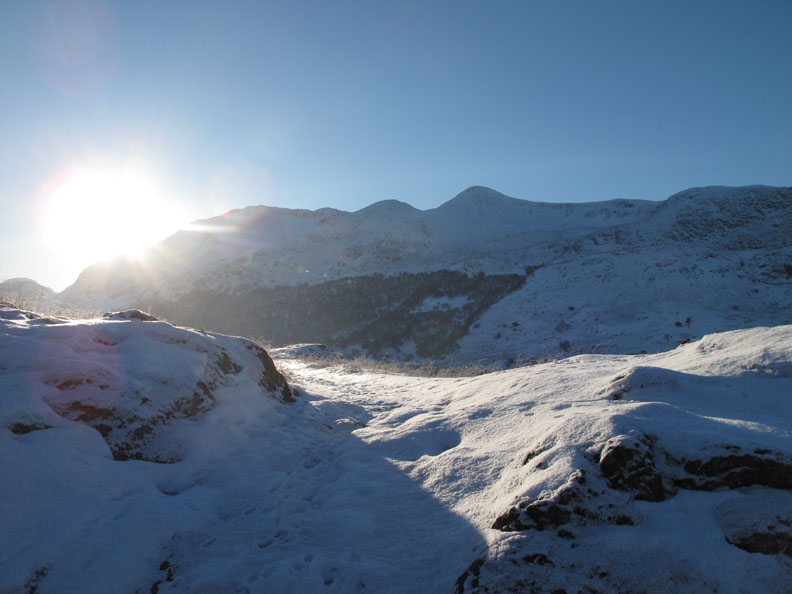
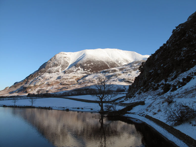
Round the corner and I get a view of Fleetwith Pike, Brandreth and Green Gable. The summit of Haystacks can just be seen, mirrored in the rounded shape of Great Gable behind it.
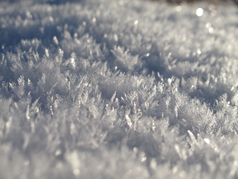
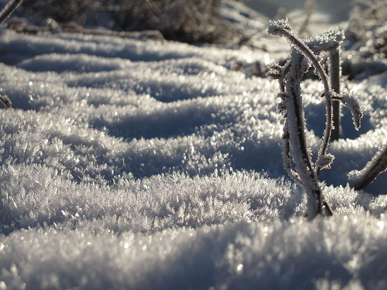
Getting down to the 'Nitty Gritty' as Mr Bellamy would say. A close up reveals the ice crystals that have formed overnight on top of the existing snow covering.
More ice effects from inches away.
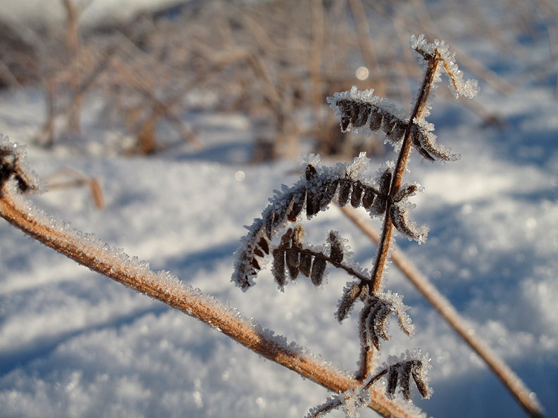
Hoar frost on the dead bracken stems.
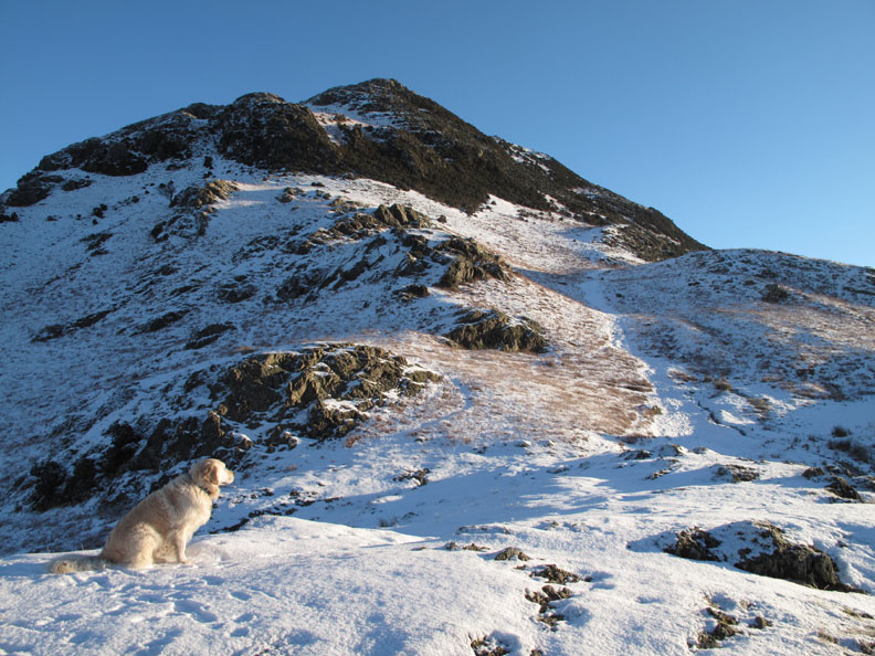
Harry contemplates the next part of the climb, but we'll pass on going to the summit today.
Instead we'll follow the old cart road over the lower part of the promontory. This used to be the main road to Buttermere before the lower road was built (in the early 1930's I believe).
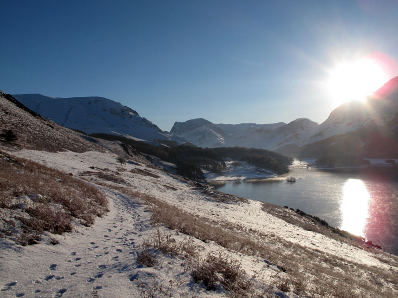
A wider view shows the track making its way over to Wood House. The village of Buttermere is just beyond the trees of Great Wood / Long How.
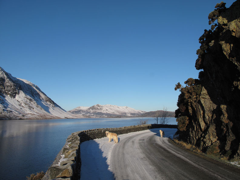
Not a lot of traffic about today so the dogs are off lead on the blind bend !
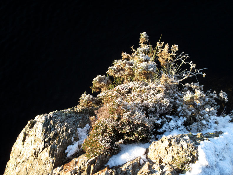
A study in black and white . . . the black of the lake and the white of the snow on the gorse bush.
Rounding the bend . . . keeping the dogs a little closer would be a good idea.
Back to the beach and the car parked at the Rannerdale Bluebells car park.
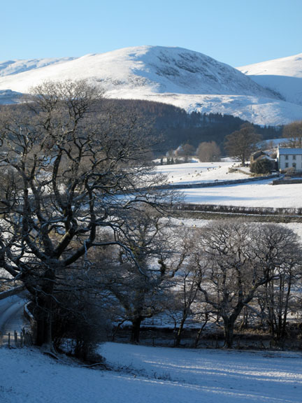
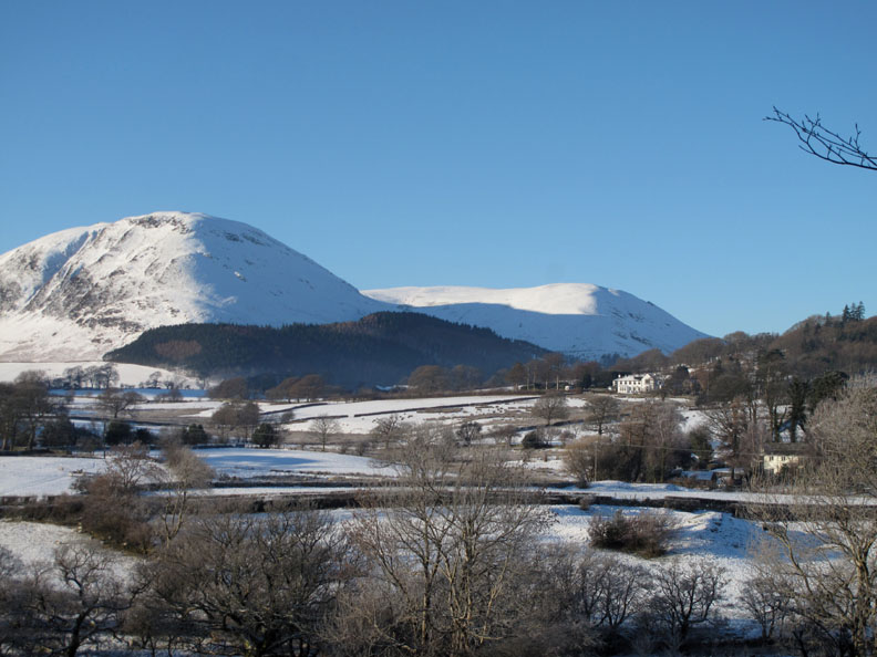
On the way back I stop at the top of the hill next to the old Scale Hill Hotel.
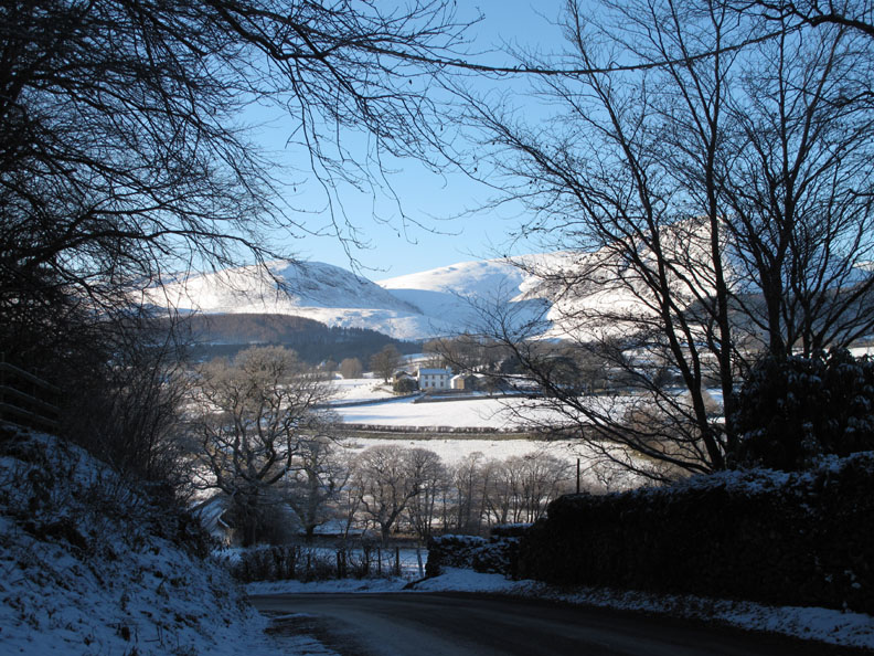
The house and outbuildings of Godferhead Farm with Gavel Fell, Carling Knott and the the short valley of High Nook behind.
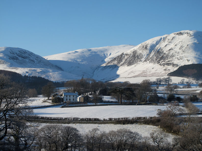
Across the valley to the other large house at Foulsyke, set beautifully on the rising ground below Low Fell. ( Click here for the panoramic view from Foulsyke from my report three days ago ) - - - o o o - - - Just a short,careful drive down the hill and I'm home . . . - - - o o o - - - |
Technical note: Pictures taken with my Canon G10 digital camera. Resized in Photoshop, and built up on a Dreamweaver web builder. This site best viewed with . . . elevenses and a hot mug of coffee. © RmH.2010 # Email me here # or leave me a Guest Book Entry Previous walk - 6th December 2010 The Gated Road to Crummock A previous time up here - 20th June 2010 Rannerdale with Gareth& Kathryn Next walk - 8th December 2010 Buttermere and Fangs Brow
|