![]()

Remember: Press F11 for a full
screen view of this page.
|
|
|
Remember: Press F11 for a full
screen view of this page. |
|
Spout Force from Scawgill Bridge Date & start time: Sunday 15th November 2010, 3 pm start. Location of Start : Whinlatter Road, Lorton , Cumbria, Uk ( NY 177 257 ) Places visited : Scawgill Bridge, Spout Force ending on the Darling How Farm track. Walk details : 1 ml, 300 ft of ascent, 45 mins. Highest point : The view of the falls. Walked with : Ann and the dogs, Harry and Bethan. Weather : Overcast and damp after a nicer morning. [ Alter the settings to zoom or change the Map, use Everytrail to download the Gps route ] |
|
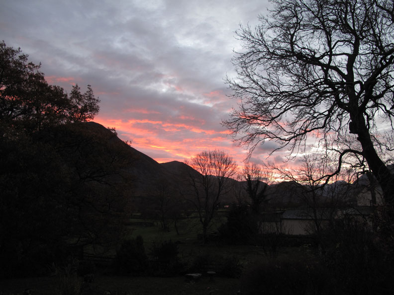
A waterfall walk combined with a visit to the Whinlatter Forest Centre on Monday looking for ideas for Christmas. The sunrise was lovely but the day failed to live up to expectations. A shorter walk for the benefit of the dogs was all that was required today.
Bright and early . . . but not as early as in summer.
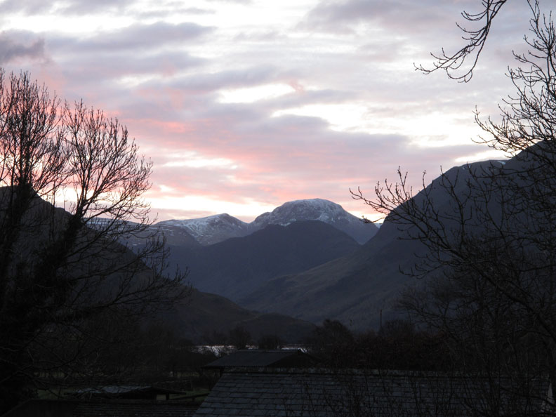
Recent snow on Great Gable still hangs on, the cooler temperatures making it last another day.
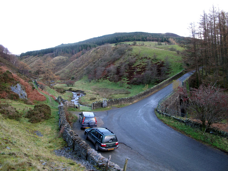
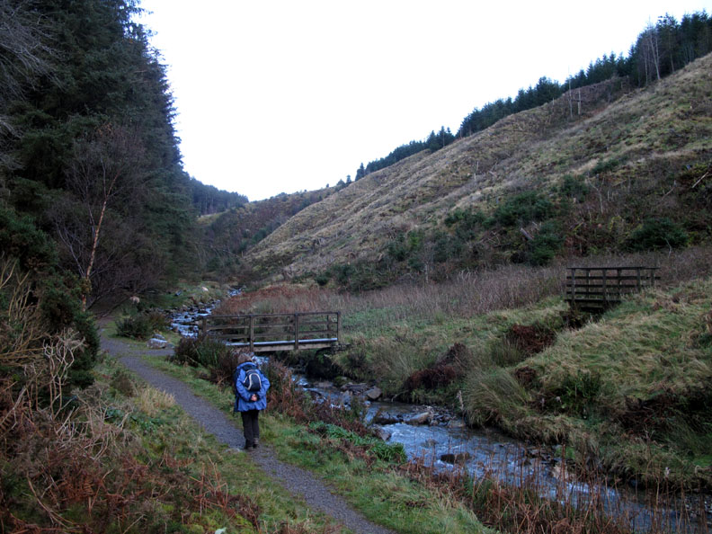
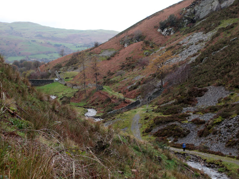
Scawgill Bridge and the bend half way up the Lorton side of Whinlatter Pass. We would take the path up alongside the river on this side, aiming for the waterfall.
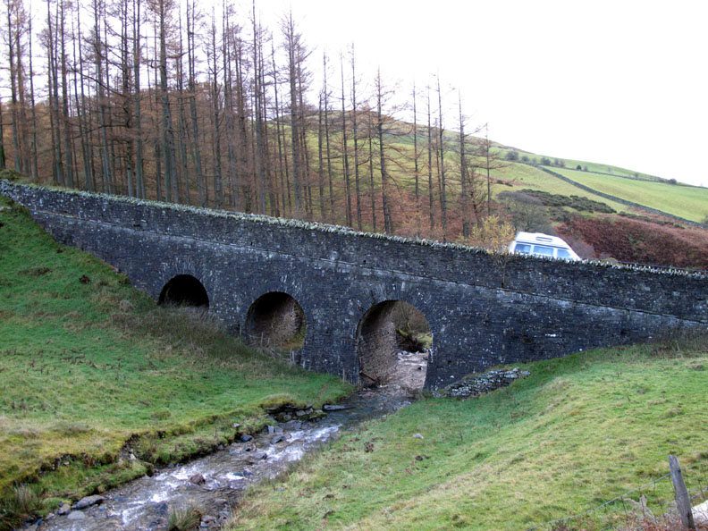
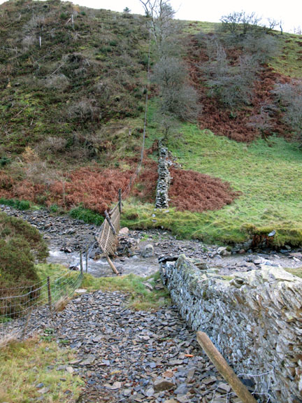
The stone for the bridge was obtained from an adjacent quarry which has since become overgrown. ( Where I was standing for the last photo)
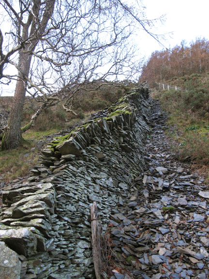
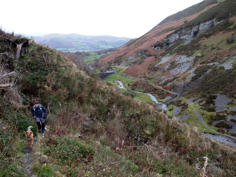
There's a good path up the valley. The fell side on the opposite bank was cleared a few years ago but is only now reverting to a more natural look.
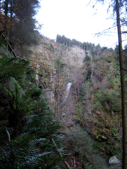
The path starts to climb up towards the viewing point.
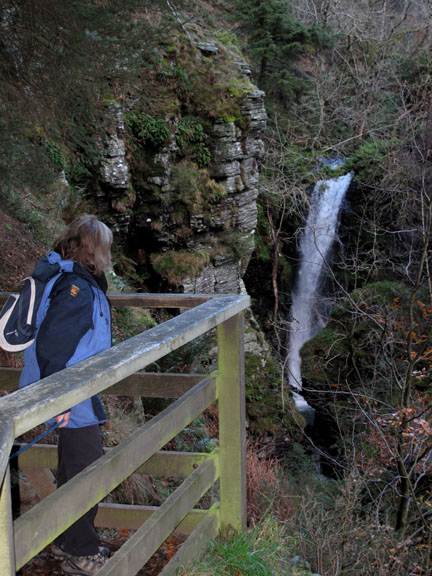
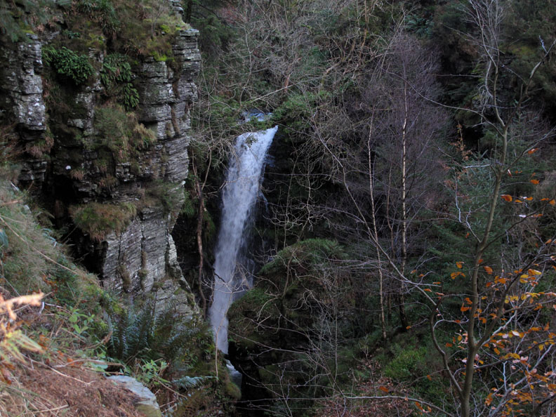
It's a rather nice waterfall but hidden in the forest for most of the year. The lack of vegetation and the extra level of water from a wet Autumn make the falls more prominent.
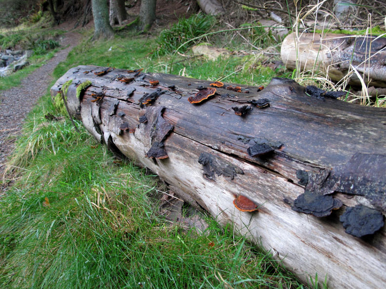
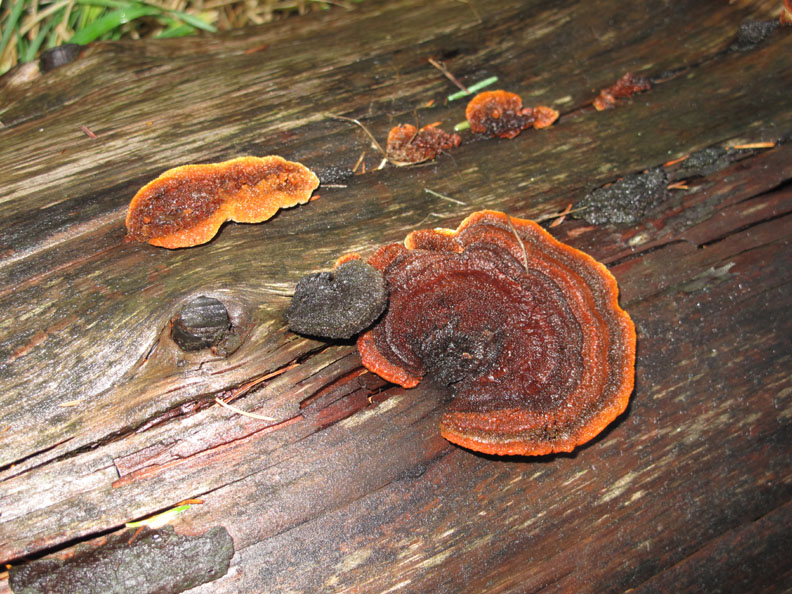
On the way back, a forest log laid by the pathway displays a rather fine selection of black and brown fungi.
Count the rings ?
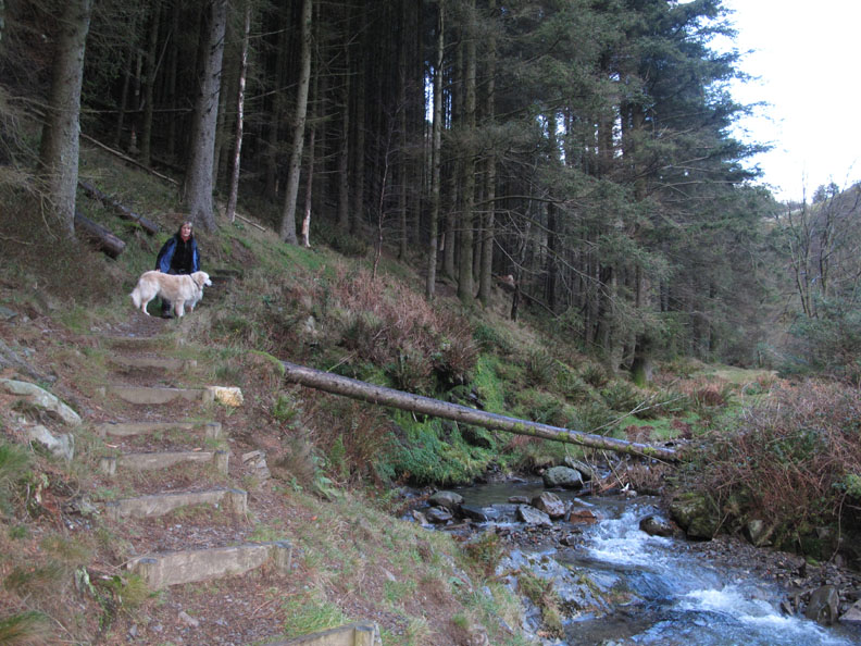
I took the path over the bridge we passed earlier in order to give the dogs an extra few minutes walk. Meanwhile, Ann went back down the valley to fetch the car and drive up to the revised end of the walk.
While we were out on this short walk we met up with a friend and colleague Rob and his Mum (sorry no photo). They had both done a longer walk around the perimeter of the Aiken Beck Valley and enjoyed some of the earlier sunshine. ( That quarry I talked of earlier can be seen more clearly in this picture)
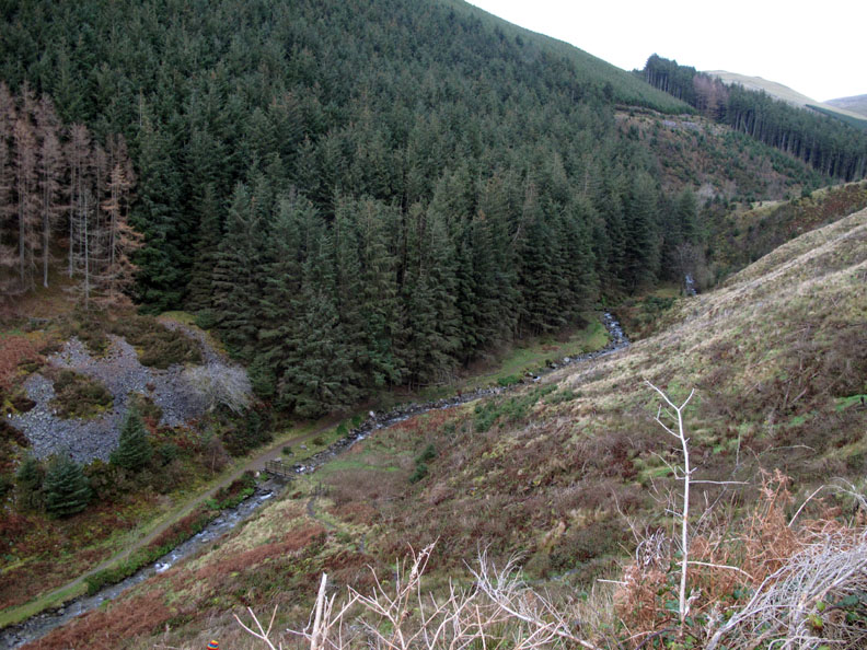
As we leave, the waterfall is hidden from view once more. It is on the bend beyond the last visible section of river and below the recently cleared section with the young re-growth of trees. - - - o o o - - - By the time we drove the extra mile up to the Whinlatter centre it was raining and we had to scurry from car to Forest Centre to avoid getting wet. - - - o o o - - - |
Technical note: Pictures taken with either Ann's Canon 75 or my Canon G10 digital camera. Resized in Photoshop, and built up on a Dreamweaver web builder. This site best viewed with . . .a "woody" present for a friend's birthday plus a few new Christmas present ideas. © RmH.2010 # Email me here # or leave me a Guest Book Entry Previous walk - 13th November 2010 Binsey with Jo A previous time up here - 11th June 2004 Lords Seat and the Whinlatter Fells Next walk - 19th November 2010 Lorton ~ One Year On
|