![]()

Remember: Press F11 for a full
screen view of this page.
|
|
|
Remember: Press F11 for a full
screen view of this page. |
|
A Gasgale Ramble Date & start time: Thursday 22nd April 2010, 3.30 pm start. Location of Start : Lanthwaite Green car park, Loweswater , Cumbria, Uk ( NY 159 208 ) Places visited : Gasgale Gill ( the Liza Beck valley) alongside Grasmoor. Walk details : 1.75 mls, 650 ft of ascent, 1 hr 15 mins. Highest point : Partial ascent of Whin Ben on the way back Walked with : Ann and the dogs, Harry and Bethan. Weather : The blue skies and warm temperatures continue.
|
|
Another shorter afternoon walk after a busy morning and we decide to walk up Gasgale Gill to see the effect of the winter floods and how they have affected the footpath up the valley.
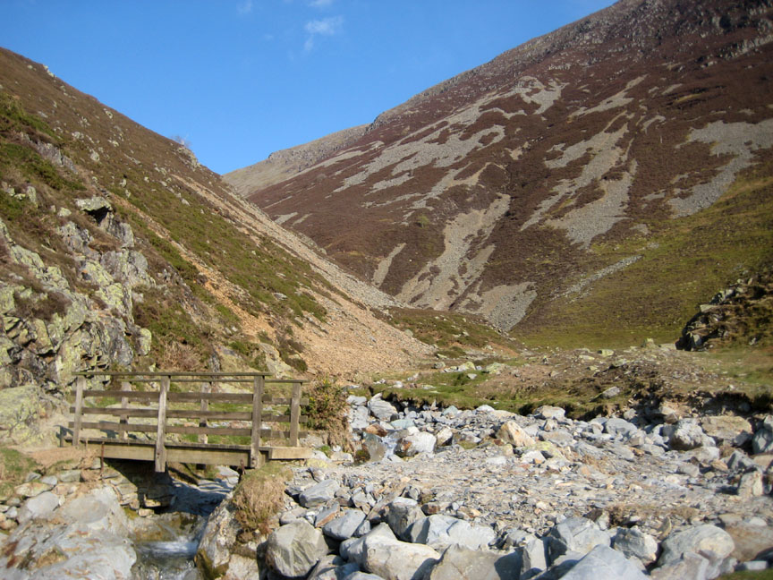
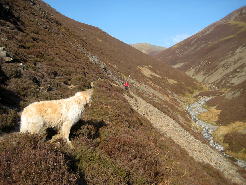
Whiteside and its outlier Whin Ben. We would walk up the valley to the right and return via the Ben but climbing no higher than the heather above the post next to us here.
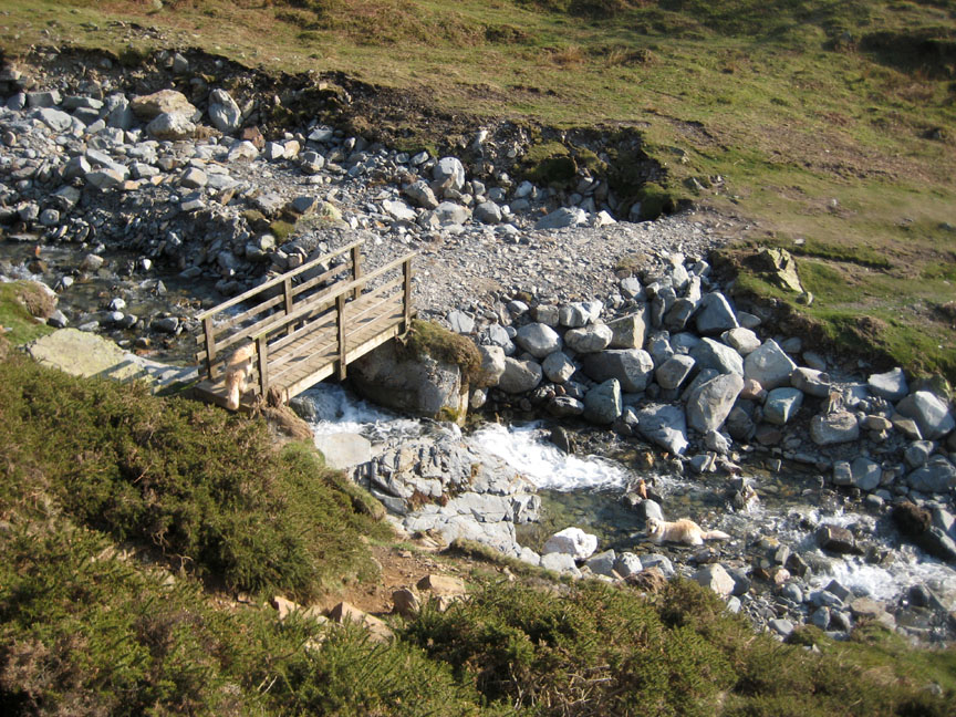
The only bridge left standing has a new causeway and provides access to Whin Ben and Whiteside. We would use it on our return.
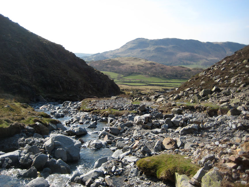
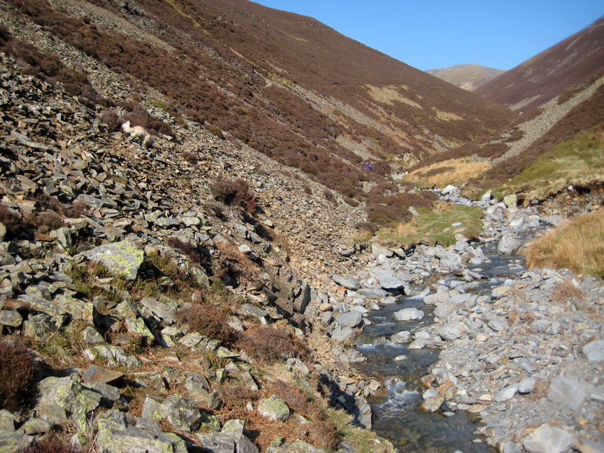
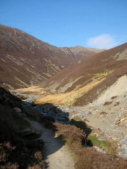
Looking back down the valley at Low Fell and Scale Hill. We walked up the left hand side of the beck to this point before crossing over.
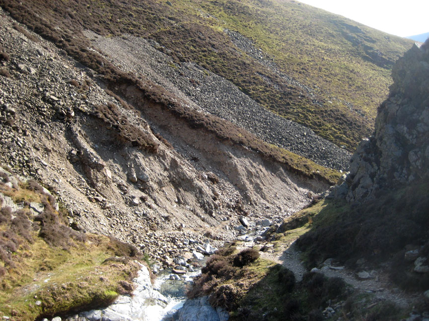
The reason was the lack of footpath on the other side. It has been washed away between the rock with the shadow and the tree. A higher path may be developing as folk find a new way across the gap, but it is not yet well established.
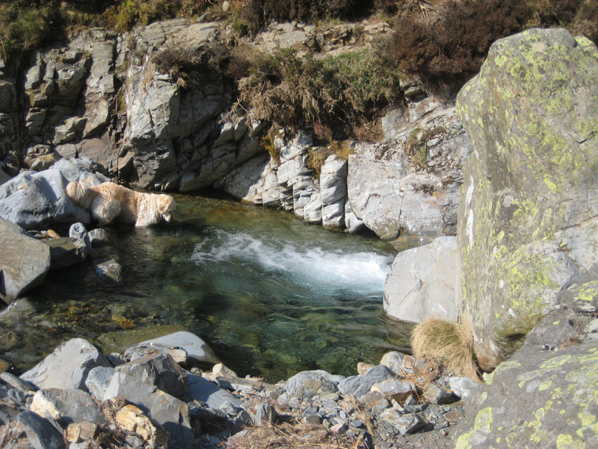
Harry, in quizzical mood, searched the pool for a stone that was thrown in for him. He would stand a better chance of finding it if it had it been a stick . . . but we didn't have one !
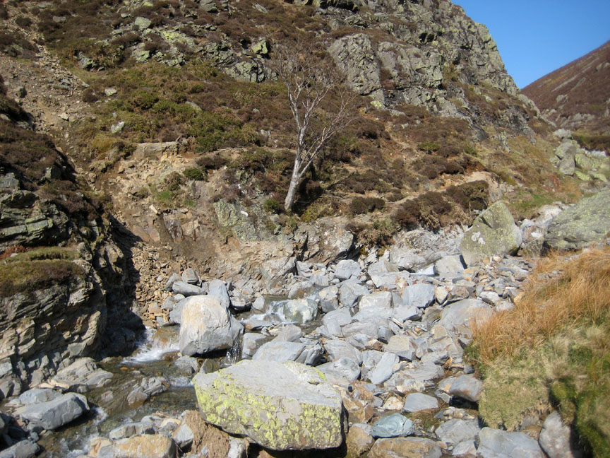
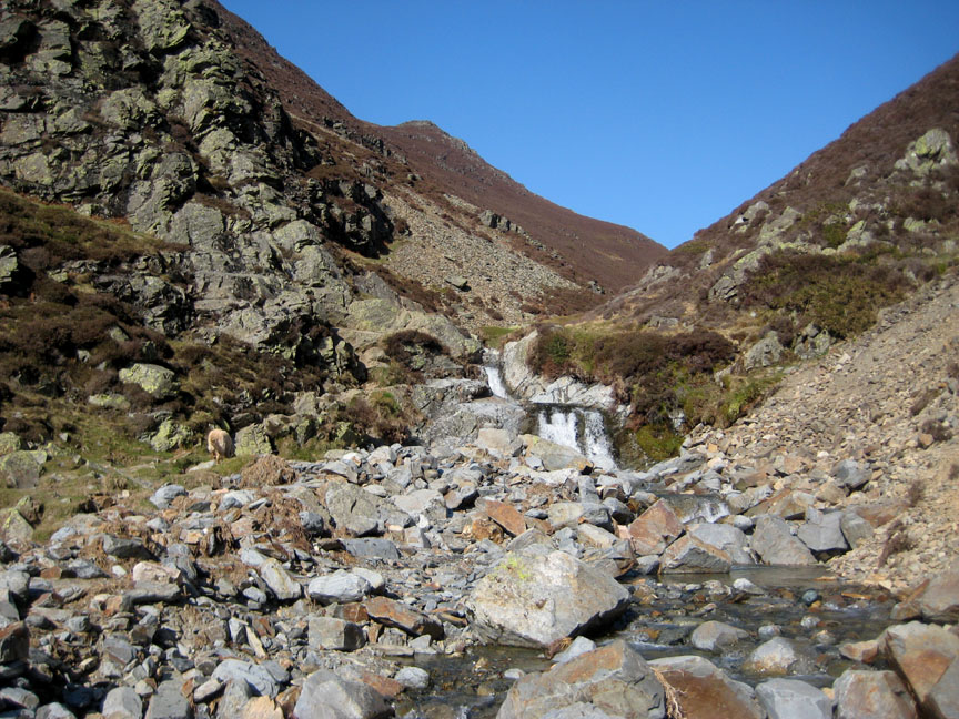
The path by the bad step and the falls is unaffected so we crossed over to use it. It would be a different story if the water was higher, but it has been dry and sunny for the last ten days.
A swathe has been cut from the fell side on the bend below the falls. No wonder there was so much loose rock and stone downstream of this point.
It's a great afternoon so we continue on up the valley, passing only four folk making their way down.
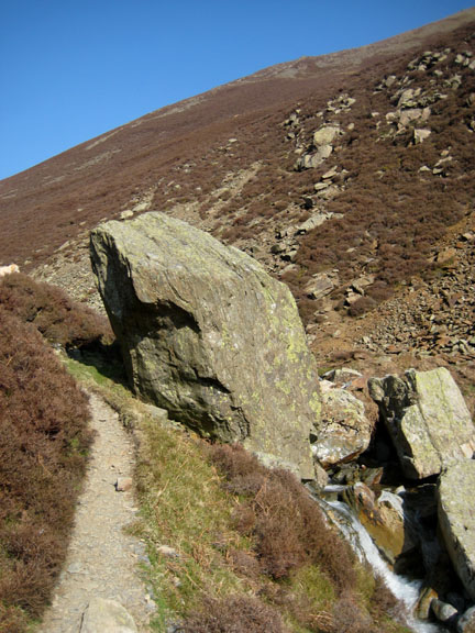
Turning just beyond the large stone, we were able to pick up the higher path which took us back down the valley and avoids the falls and the rock step that we climbed earlier.
A rapid descent from the flanks of Whin Ben brings us down at the bridge again Dogs and people suitably exercised for today. - - - o o o - - - |
Technical note: Pictures taken on Ann's Canon 75 digital camera. Resized in Photoshop, and built up on a Dreamweaver web builder. This site best viewed with . . .more sticks and less stones. © RmH.2010 # Email me here # or leave me a Guest Book Entry Previous walk - 21st April 2010 Bowness Knott and Contrails A previous time up here - Wed 9th Sept 2009 The Hopegill Head Ridge walk Next walk - 25th April 2010 The Grasmere T2T Walk
|