![]()

Remember: Press F11 for a full
screen view of this page.
|
|
|
Remember: Press F11 for a full
screen view of this page. |
|
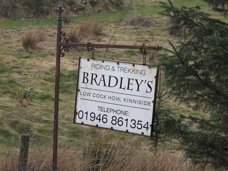
A Nanny Catch Valley Walk Date & start time: Wednesday 7th April 2010, 4 pm start. Location of Start : Low Cock How Farm, Ennerdale Bridge, Cumbria, Uk ( NY 059 144 ) Places visited : Swinside End, Nanny Catch Valley and Kinnerside Stone Circle. Walk details : 3 mls, 475 ft, 1 hr 45 mins. Highest point : Kinnerside Stone Circle, 741ft, 228m. Walked with : Ann and the dogs, Harry and Bethan. Weather : A nice sunny afternoon.
|
|
An afternoon walk became unwalkable . . . so we had a swift change of plans and chose a nearby valley instead, walking a path that we had seen but never trod before. All the while we were being watched . . . by "big" but not "big brother" !
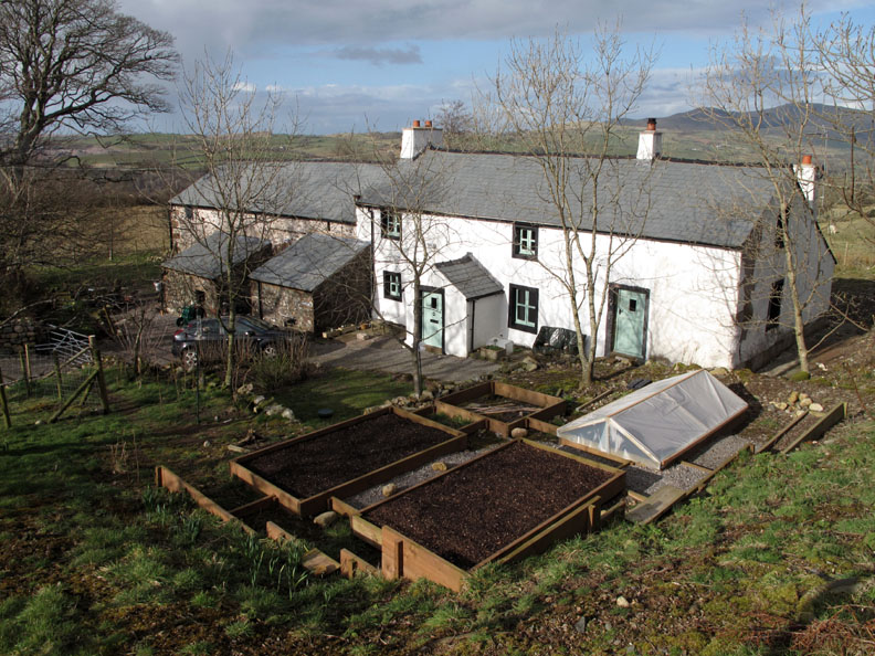
The plan was to park near Low Cock How Farm and walk a circular farm path over to, and around Meadley Reservoir. It is a small lake that we had often seen from the fells and the whole walk would be a new route for us.
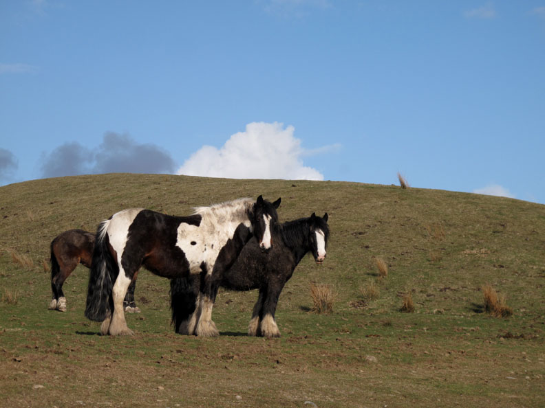
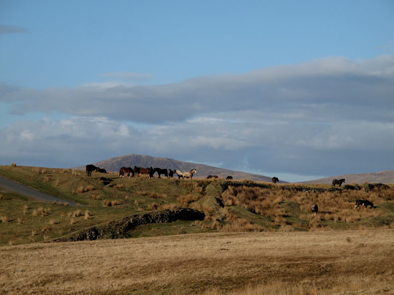
As we parked near the farm it was the end of the working day for the horses and they walked slowly and methodically out of the farm drive and onto the open moorland.
A wonderful herd of about fifteen or twenty heavy horses and ponies.
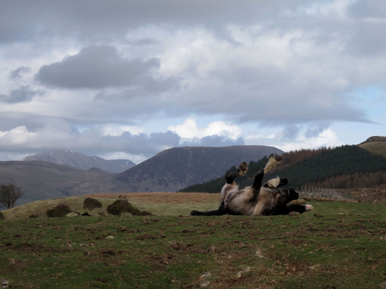
It doesn't matter how soft the saddle blanket was during the day . . . there's nothing like a nice roll and a scratch to invigorate the body straight after work.
We walked down past Swinside End Farm which reminded me of all the gardening jobs I still have to do and also gave me an idea for an inexpensive cold frame to help the young seedlings I would be planting soon in our Loweswater garden.
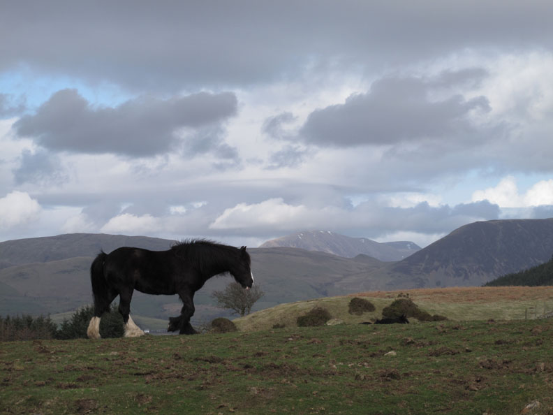
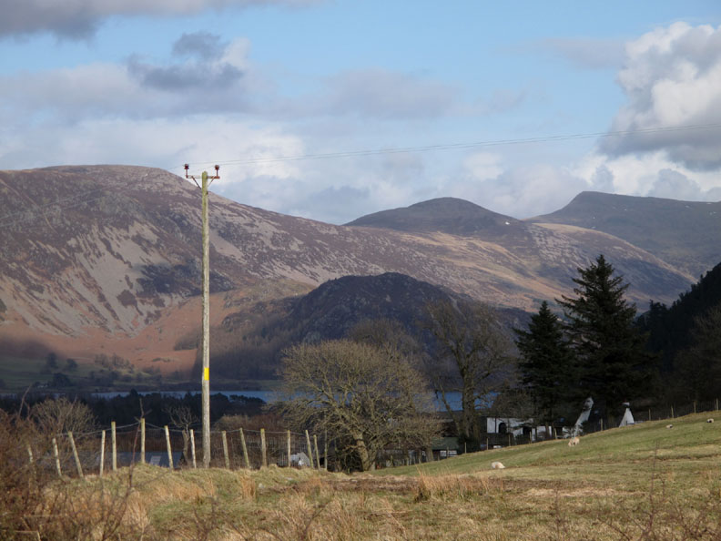
A lovely afternoon which was enhanced with brief glimpses down into the Ennerdale Valley. The fells are Great Borne, Starling Dodd and Red Pike, three we see in reverse order from our valley over the ridge.
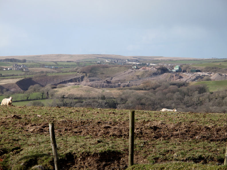
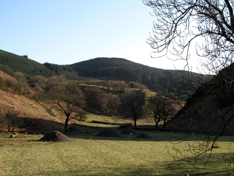
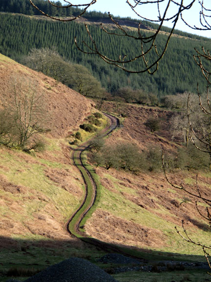
This area was rich in iron stone mines, which when combined with local coal, gave rise to the early industrial activity locally. The town of Barrow and the dockyards are a direct result of the industrial revolution reaching this part of the world in the 1800's. Unfortunate the track at this point became a quagmire, and from our vantage point on the bend we could see that our objective, Meadley Reservoir was not very attractive anyway. They had recently drained all the water out of it in order to do maintenance on it ! Time for Plan B.
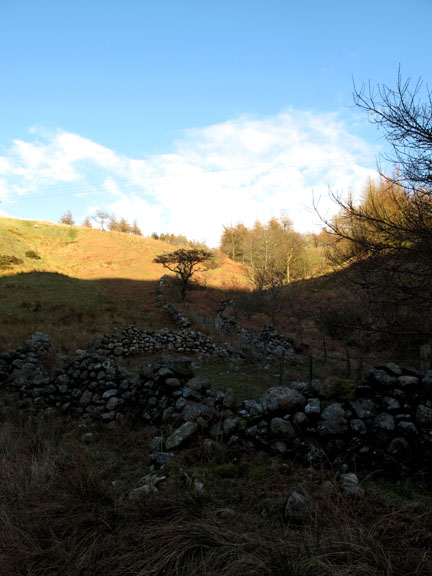
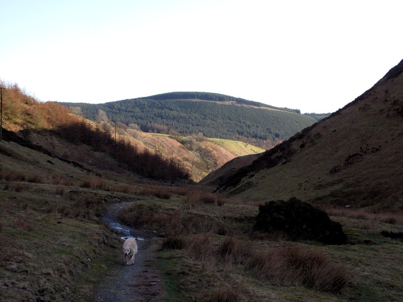
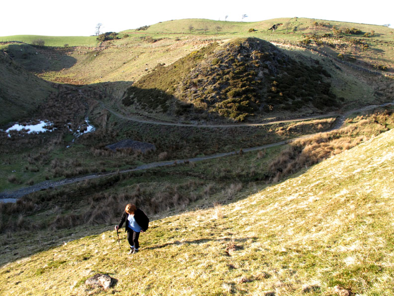
That's better . . . we walked south this time into the top end of the Nanny Catch Valley where there was a reasonably good footpath to follow.
Green grass instead of thick mud is a much more enjoyable environment for a walk ! Dent Fell is the first high ground on the West to East route of Wainwright's Coast to Coast path. Nanny Catch is the valley behind it and the walk skirts around the back of Flat Fell, seen here on the right.
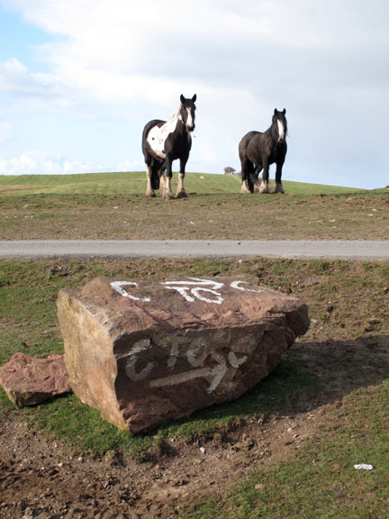
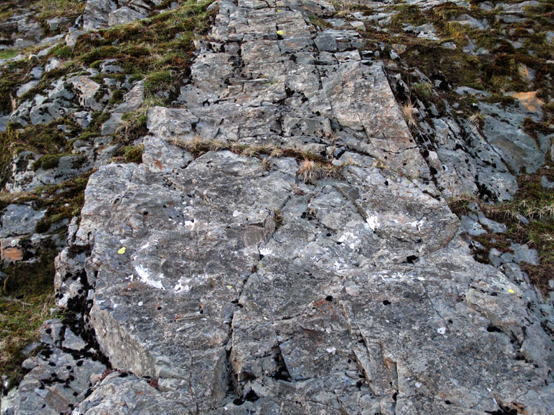
The C - C sign painted on the rock has faded almost into obscurity over the years.
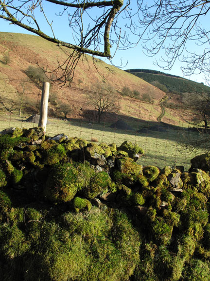
Leaving our outward route to continue onwards, we climb up out of the shallow valley, aiming for Kinnerside Stone Circle.
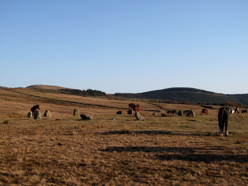
The horses we had seen earlier have gathered on the other side of the Cold Fell road.
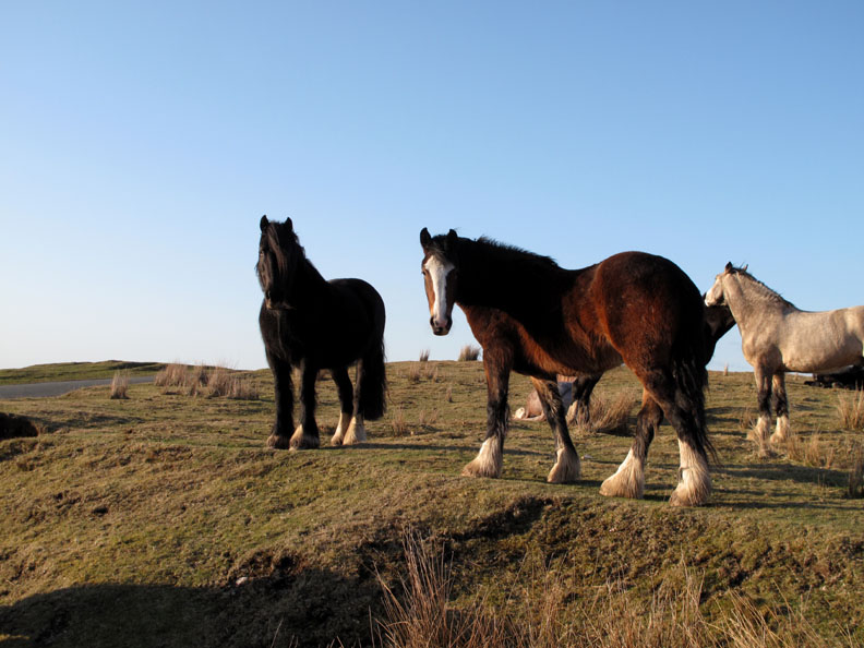
They are strong looking horses but well used to people by the look of it.
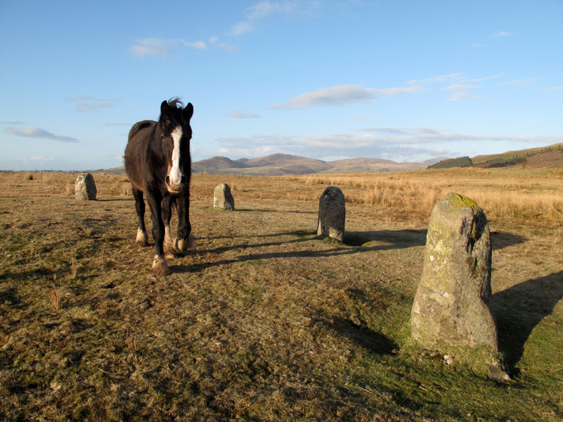
Heads are turned as Ann, myself and the dogs approach.
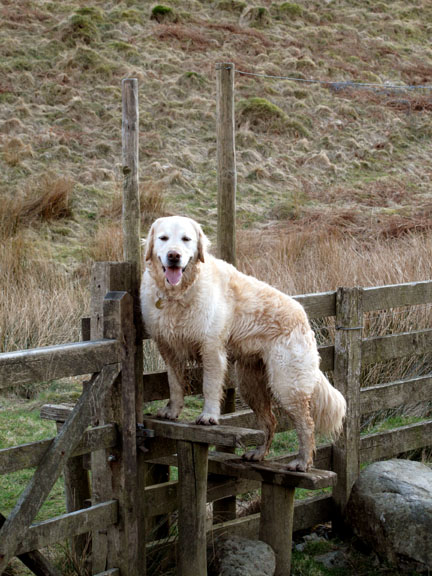
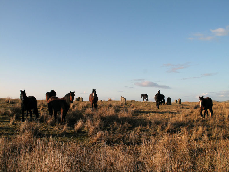
Harry and Bethan are out of photo, hiding behind my legs as yet another horse comes over to say hello. As can be seen by the stones, we have arrived at the Kinnerside Circle.
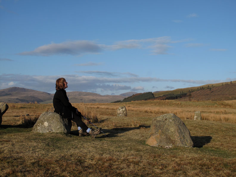
Ann in contemplative mood now the horses are a little further away.
A complete change of plans on the walk led to a happy ending as we enjoyed the late afternoon sunshine looking over the western, moorland fells and west Cumbrian scenery. - - - o o o - - - |
Technical note: Pictures taken with either Ann's Canon 75 or my Canon G10 digital camera. Resized in Photoshop, and built up on a Dreamweaver web builder. This site best viewed with . . . a Plan B close at hand. © RmH.2010 # Email me here # or leave me a Guest Book Entry Previous walk - 3rd April 2010 Rannerdale with David Hall A previous time up here - 6th Nov 2007 Cold, Flat and Dented Next walk - 8th April 2010 The Screes and Miterdale
|