![]()

Remember: Press F11 for a full
screen view of this page.
|
|
|
Remember: Press F11 for a full
screen view of this page. |
|
Whin Ben & Whiteside Date & start time: Good Friday 2 nd April 2010, 11.25 am start. Location of Start : Lanthwaite Green, Loweswater , Cumbria, Uk ( NY 159 208 ) Places visited : Lanthwaite Green, Gasgale Gill bridge, Whin Ben, Whiteside and back. Walk details : 2.35 mls, 1810 ft, 1 hr 40 mins, and back in time for lunch at home. Highest point : Whiteside 2,317ft ( 707m) Walked with : Myself and the dogs, Harry and Bethan. Weather : Sunny . . . but with rain forecasted.
|
|
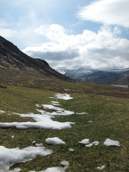
The late spring snow is starting to melt rapidly on the second day of good sunshine and poor weather was forecasted for the afternoon, so a morning walk was advisable. However it's been a busy morning, so a quick walk is called for once the basic jobs were done.
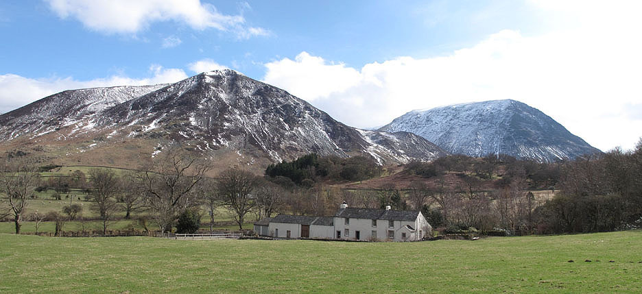
The subject of a Cumbria Magazine centre fold a year or so ago, Palace How is set slightly down below the Loweswater road and in front of Whiteside, the fell I hope to climb today.
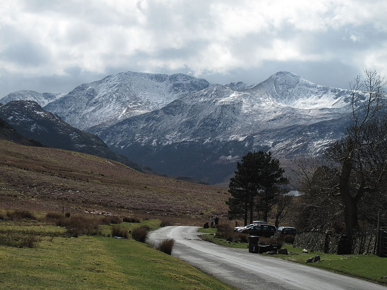
The High Stile Ridge and Red Pike from the Lanthwaite Green road.
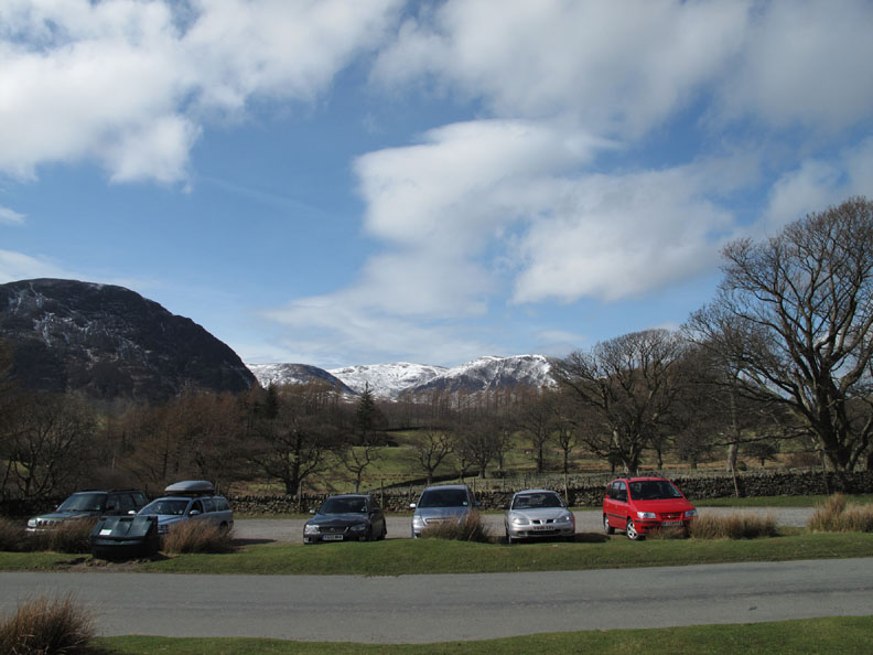
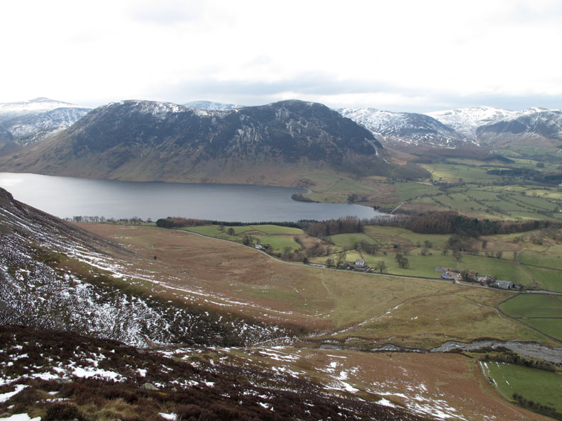
Parking on the green, I could see over to the snow covered Loweswater Fells.
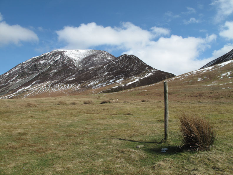
Today's objective is a quick climb of Whin Ben and hopefully Whiteside provided that the forecasted bad weather holds off.
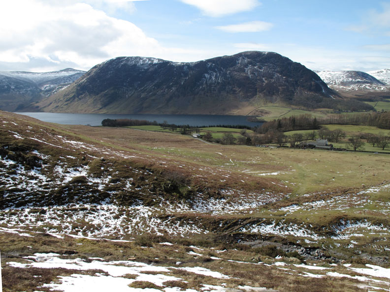
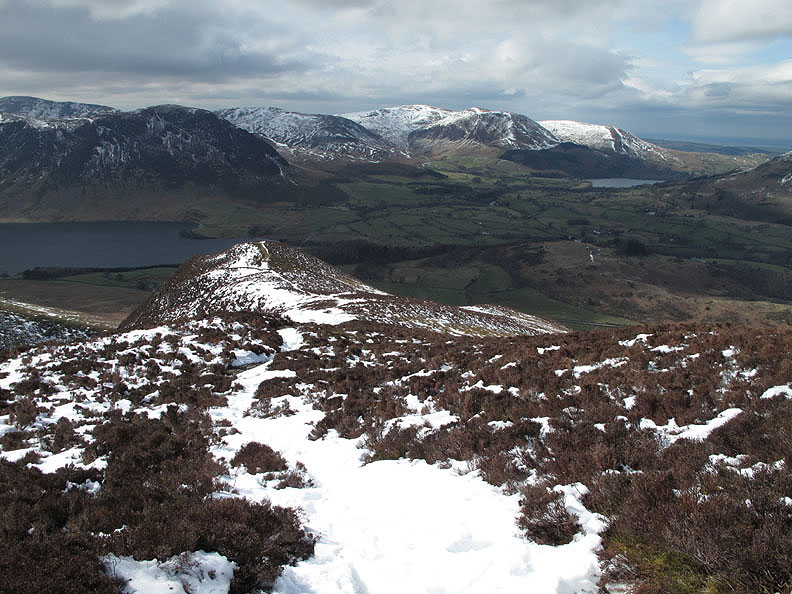
A full view of Mellbreak as I start the climb.
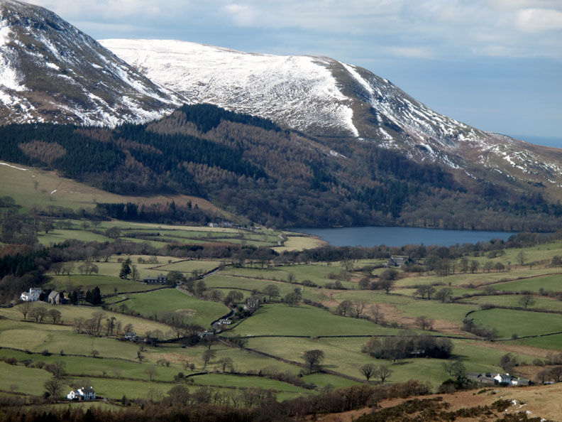
Good views across to Loweswater too including the Kirkstile Inn, the Church, Village Hall and our other neighbours.
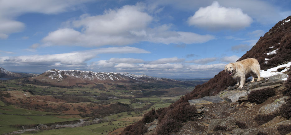
" I can see Scotland from up here " Harry looks across the Lorton Valley to Low Fell and Fellbarrow on the other side, and the Scottish hills in the distance.
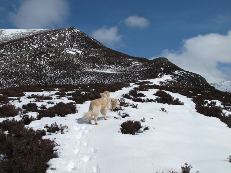
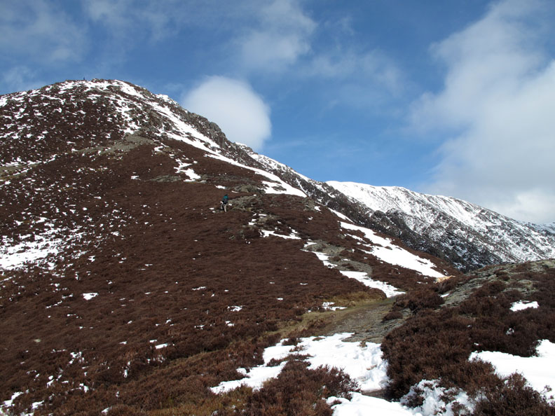
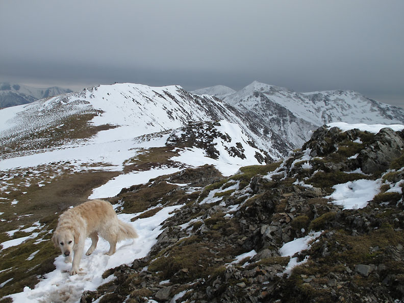
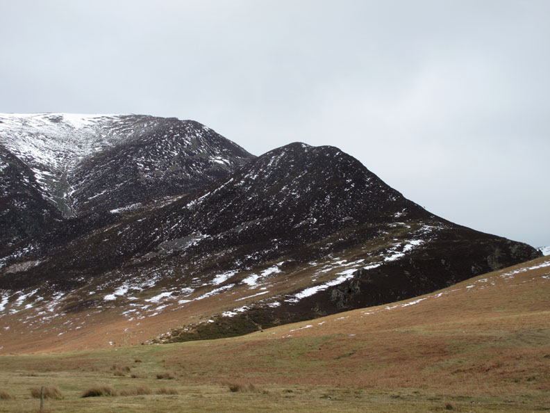
Going well and the dogs and I have climbed above the Whin Ben summit. The going is slow where the snow has filled the path . . .
. . . so I tend to follow the dogs, they usually pick a reasonable route and avoid the worst of the problems.
Nearing the edge of the ridge and our first view of Hopegill Head. There's also a couple ahead making good time up the climb.
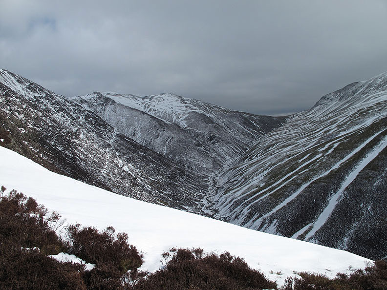
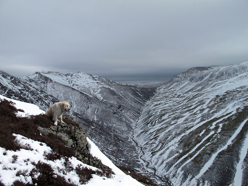
With the exposed position on the ridge we get a view down into the upper Gasgale Valley but we also become exposed to the strong and rather cold wind blowing from the south east and down the valley towards us.
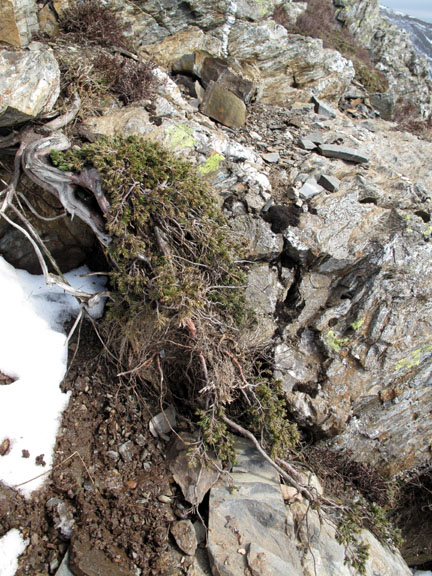
Like Bonsai Trees but entirely natural, the Juniper bushes have had their growth restricted by poor nutrition and harsh weather here on the hillside.
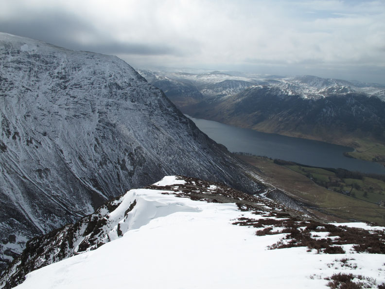
The poor weather is being brought in on the strong winds and it is looking decidedly grey over Coledale Hause.
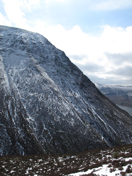
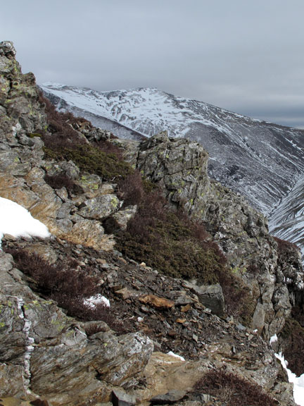
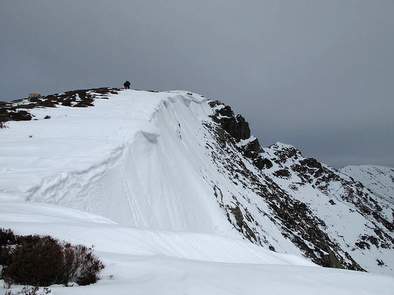
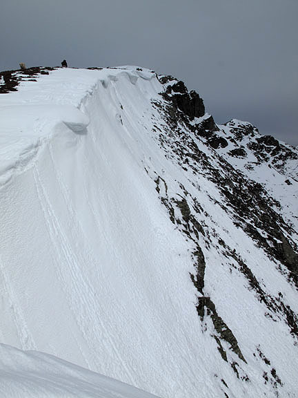
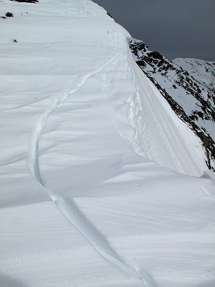
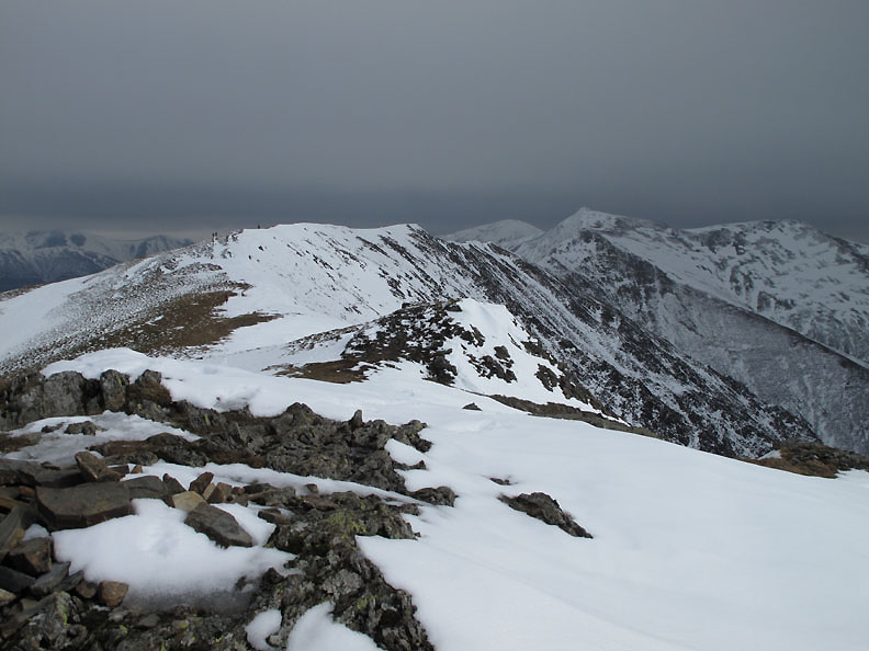
Nearly there now and the summit crags are hidden by a significant snow cornice.
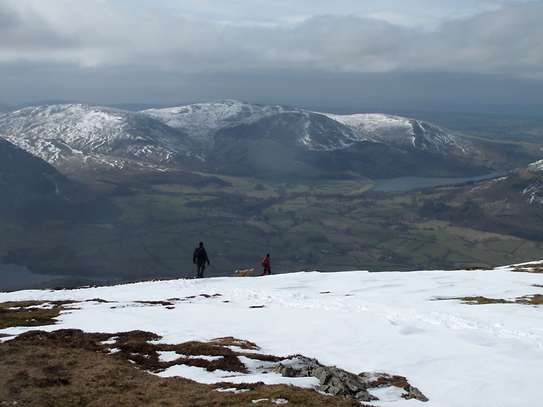
Grey skies and cold winds greet us as we make the summit of Whiteside. There are quite a number of people out today but then it is the first day of the Easter hols.
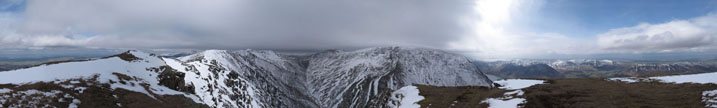
Click here or on the photo for a wider annotated panorama
The high level ridge to Hopegill Head, Sand Hill and Grisedale Pike through the gap in the centre.
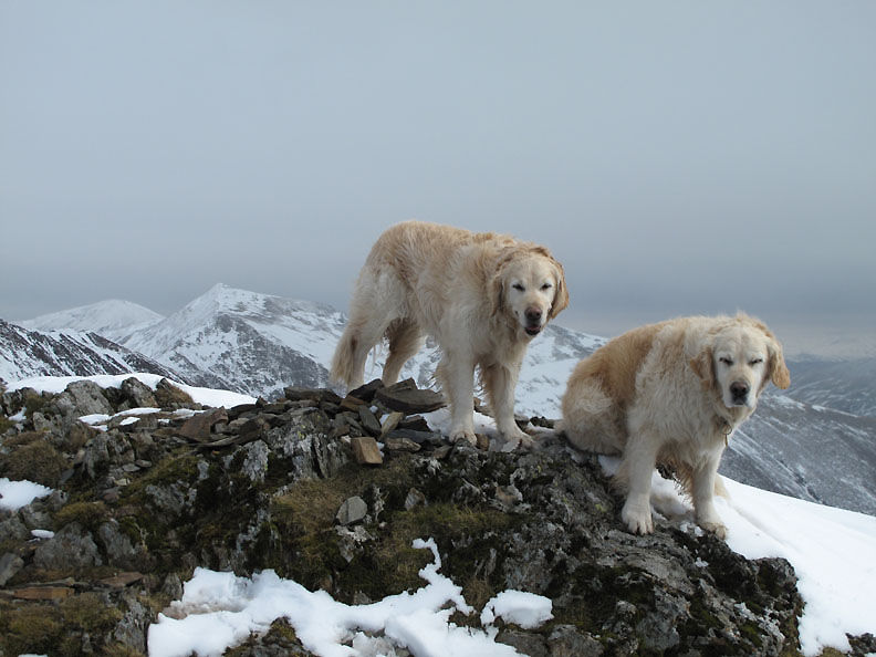
Summit pose with hair ruffled by the breeze and eyes shut from the glare of the snow perhaps ? The sun is shining but there's a change in the weather and rain in the air.
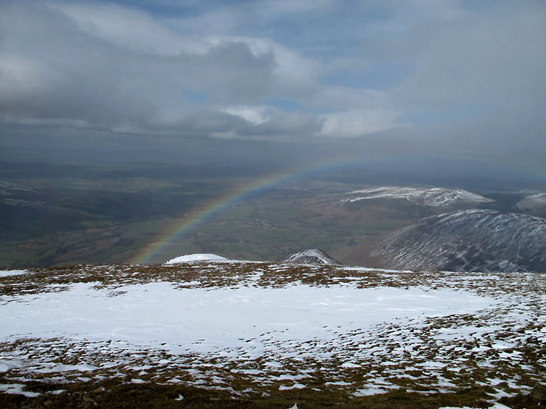
Sun on our backs and rain passing over head means only one thing, a delightful rainbow.
The briefest of showers and the sun returns as we start to descend back to the valley using the same path. Bethan has gone over to say hello to some fellow walkers.
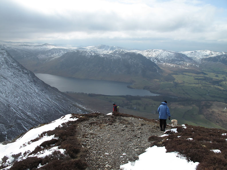
We seem to be getting the best of the weather as the cloud hangs over the central fells.
Time to really concentrate on where you place your feet as we start the steep descent. These two walkers were on a circular walk from Swinside and we stopped for a brief chat.
Below Whin Ben again as we make our descent to the car. [ No point in duplicating all the photos from the route up. ]
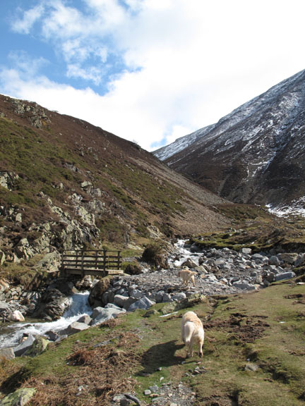
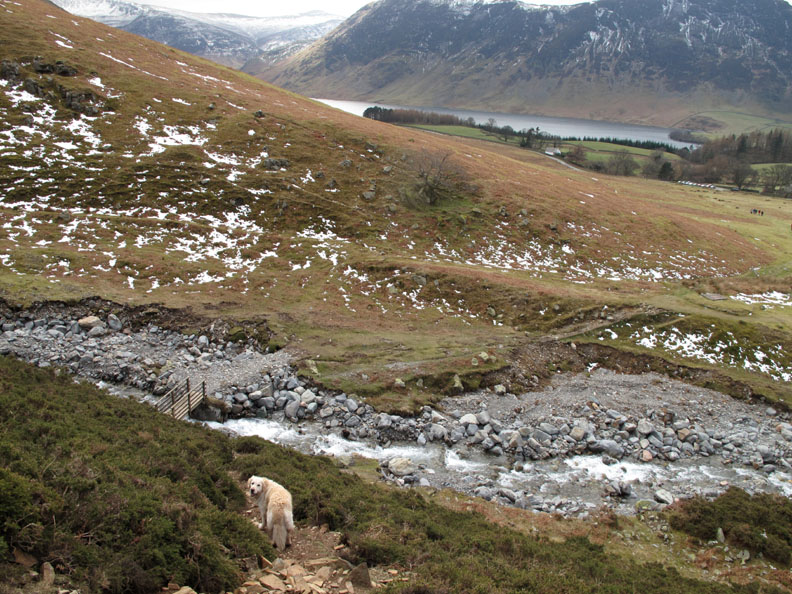
Back to the bridge over Gasgale Gill. It was saved from being demolished in the floods by virtue of the river changing course and flooding past it.
Down at valley level again and I'll be home in time for lunch. The poorer weather arrived on time but fortunately for us it was not as bad as expected and we enjoyed a great walk with excellent views all round. - - - o o o - - - |
Technical note: Pictures taken with my Canon G10 digital camera. Resized in Photoshop, and built up on a Dreamweaver web builder. This site best viewed with . . . sunshine and a rainbow treat. © RmH.2010 # Email me here # or leave me a Guest Book Entry Previous walk - 31st March 2010 Easter Snow A previous time up here - 26th July 2003 Whiteside with Peter and Mary Next walk - 3rd April 2010 Rannerdale with David Hall
|