![]()

Remember: Press F11 for a full
screen view of this page.
|
|
|
Remember: Press F11 for a full
screen view of this page. |
|
Mellbreak with John Date & start time: Tuesday 23rd March 2010, 10.20 am start. Location of Start : The red phone box, Loweswater , Cumbria, Uk ( NY 143 211 ) Places visited : Kirkhead Farm, Mellbreak's northern and southern summits, Scale Knott, High and Low Ling Crags and back via the lakeside path. Walk details : 6.2 mls, 1865 ft, 5 hrs 20 mins including lunch. Highest point : Mellbreak 1,676ft ( 512m) Walked with : John Grayson, Ann and the dogs, Harry and Bethan. Weather : Sunny to start but becoming overcast. Rain forecasted for late afternoon.
|
|
John, a Loweswatercam viewer, is up on holiday in our part of the Lake District. He has never climbed Mellbreak so kindly entertained us with a meal out in the evening. In return we offered guiding duties up the steep northern face of Mellbreak. It worked out beautifully as both the meal and the climb were a delight !
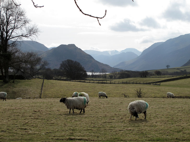
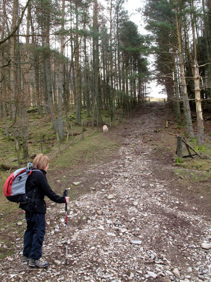
A prompt start today, well prompt for us, as the forecast is for rain later. Still too early for lambing in Loweswater yet, not much fresh grass either, but the sheep seem to be enjoying the warmer weather
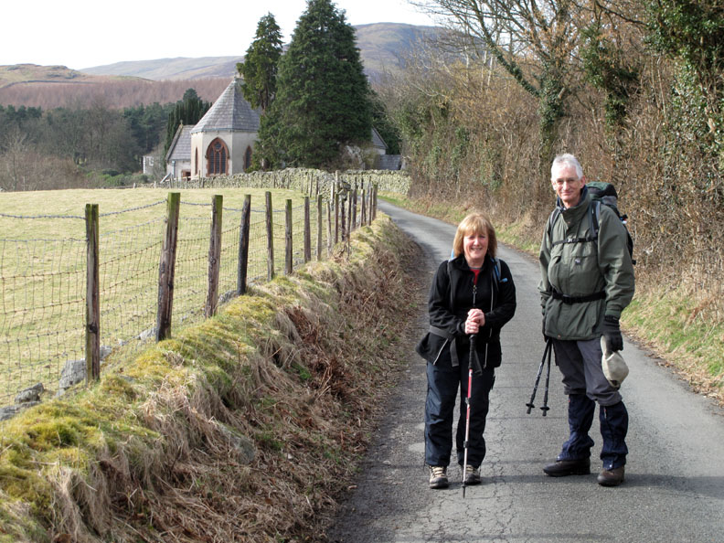
Ann and John as we set off towards Loweswater Church.
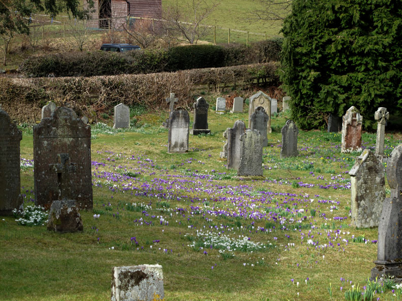
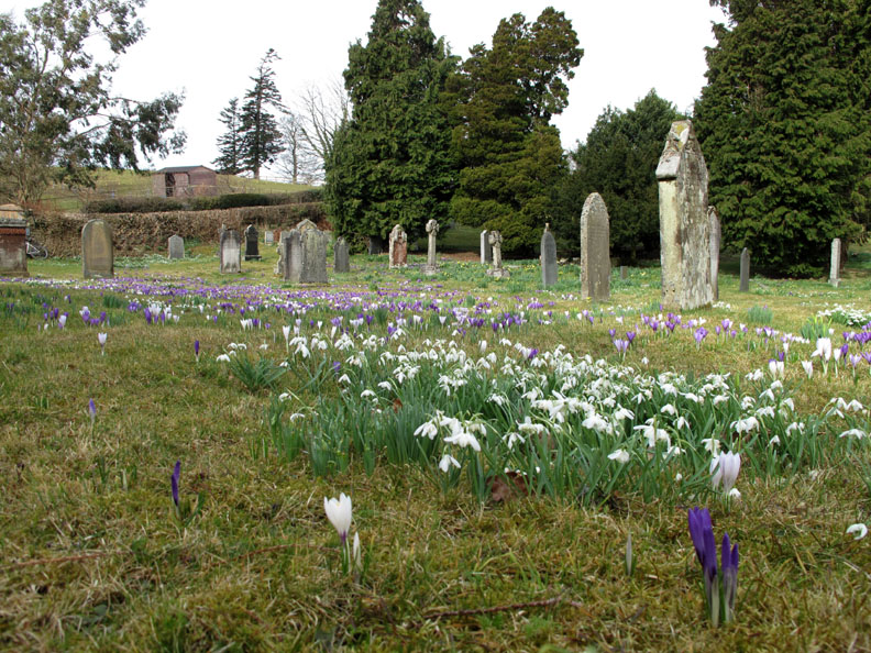
The graveyard is covered in beautiful crocuses and spring flowers.
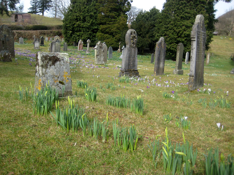
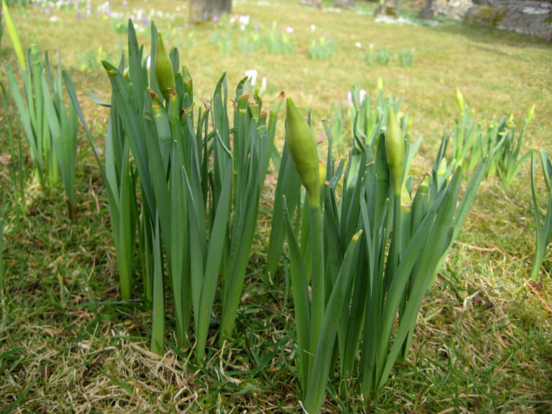
Several graves have a surround of newly sprouting daffodils.
Still too early yet for blooms, we are about three weeks behind compared to the last few years.
Getting down low . . . We thought when Ann laid down for the previous photo that she was thinking of getting measured up for a plot !
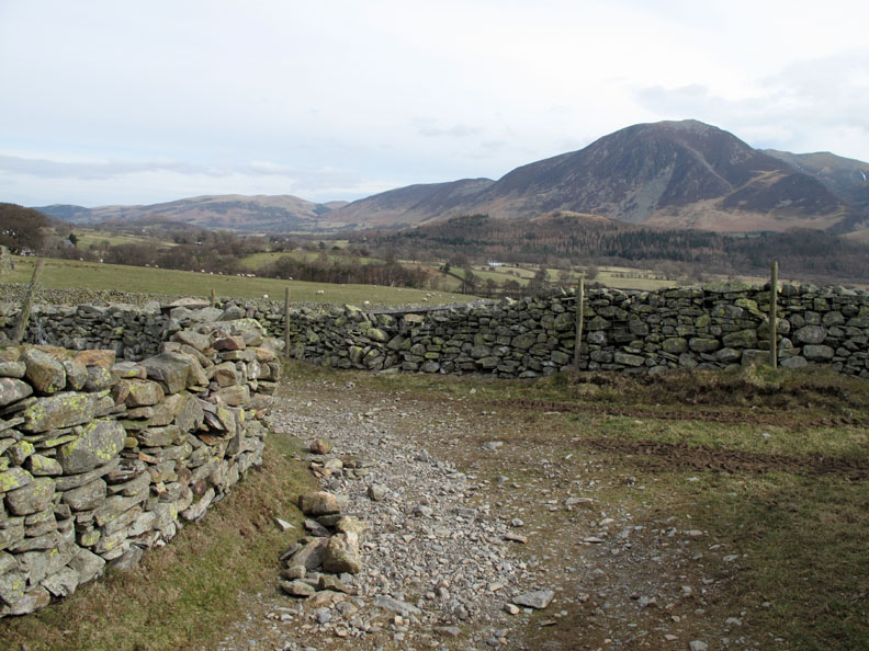
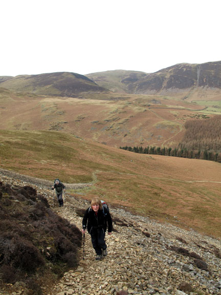
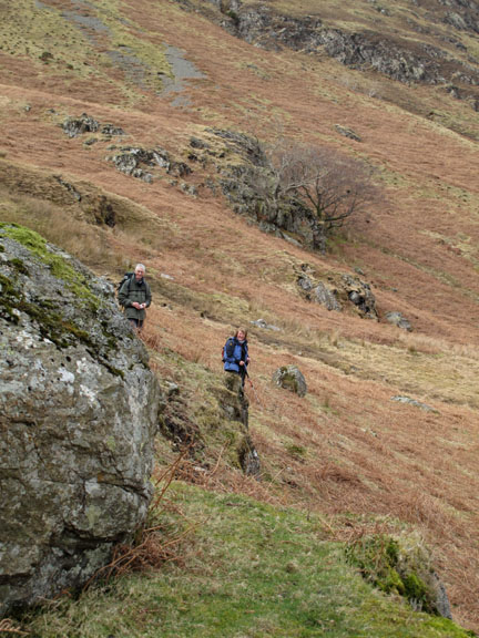
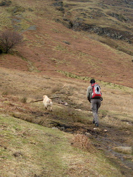
The farm track and bridle way towards Mosedale makes several sharp turns as it progresses. The sheep have knocked stones off the wall again as they jump down where the field fence beyond the wall is broken.
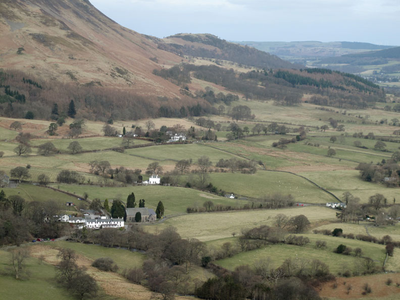
Looking down on the Kirkstile and the valley start of our walk a short while back. " I can see my car from here " says John . . . it's the grey one between the red car and the red phone box.
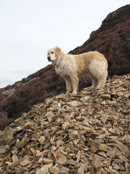
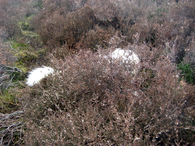
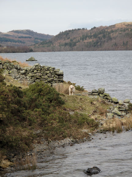
What's this . . . " A Spot the Dog competition " ?
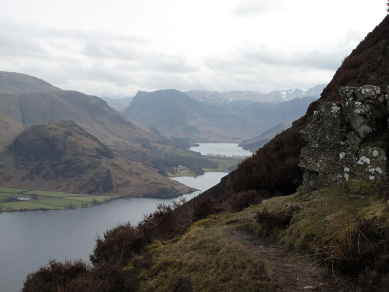
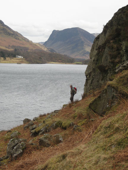
The 'Surprise View' of Buttermere, two thirds of the way up the steep ascent. John would go closer but he's not too keen on the steep drop beyond ! [ He admitted that the daunting climb was actually a delight and was remarkably easy considering what it looked like from below.]
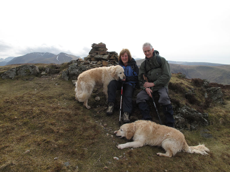
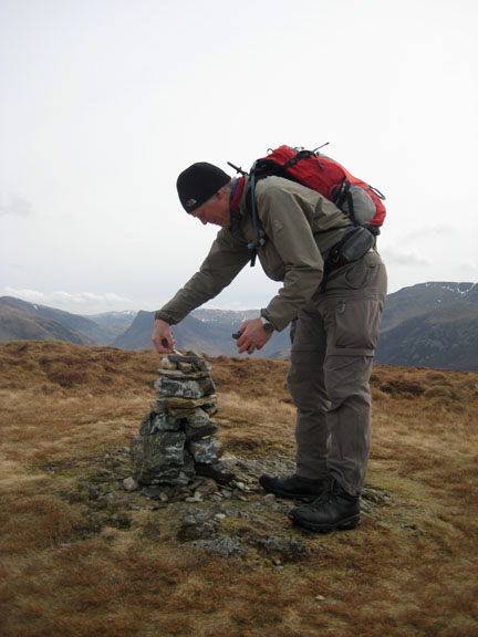
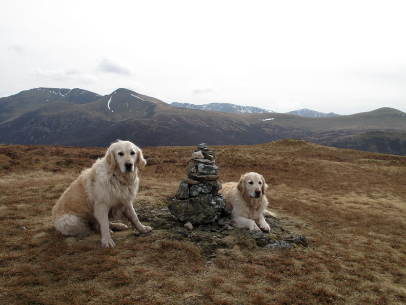
Safely on the summit at the northern end of the fell. Is Harry asking for attention or is he wanting a dog treat . . . ( hold your cursor over the photo to find out )
If we had a brush we would have tidied the dogs up for you too !
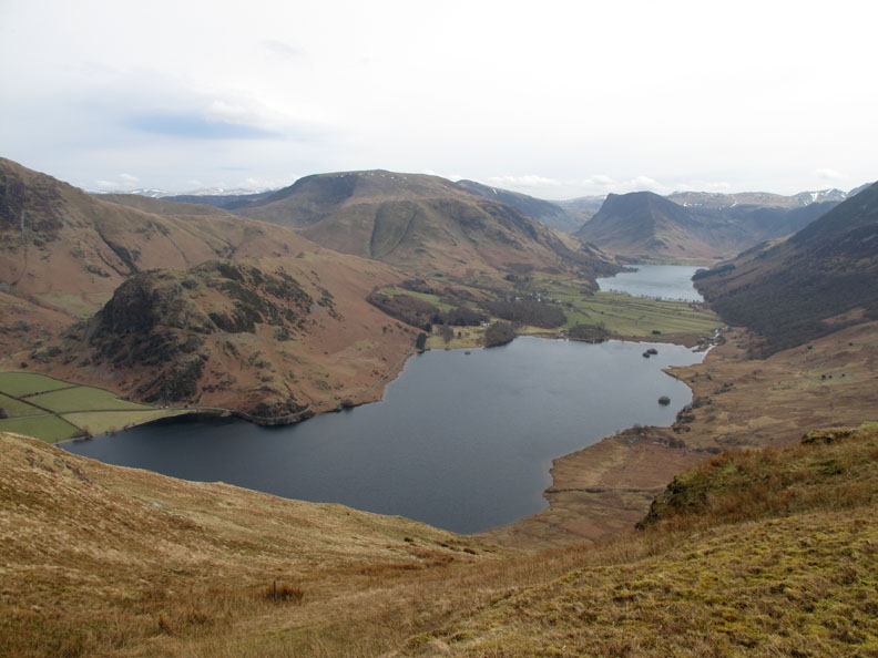
From the southern end, the views down towards Buttermere are superb. Only the smallest patches of snow still hang on the high fells at the back of the photo.
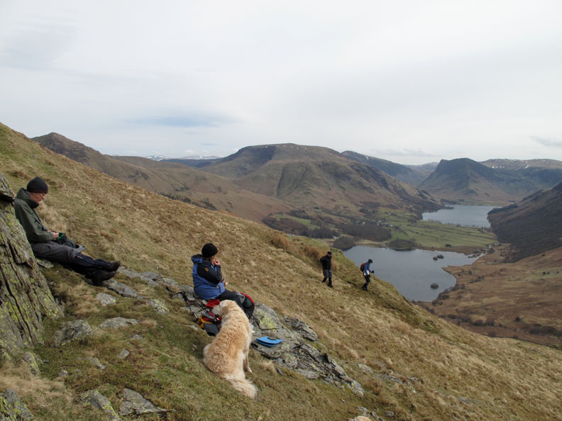
Gaining slight shelter from the southerly breeze we stop for lunch. A few immortal words from a couple passing by . . . " Don't get to comfortable . . . you know it will be dark before morning " . . . hmm . . . yes.
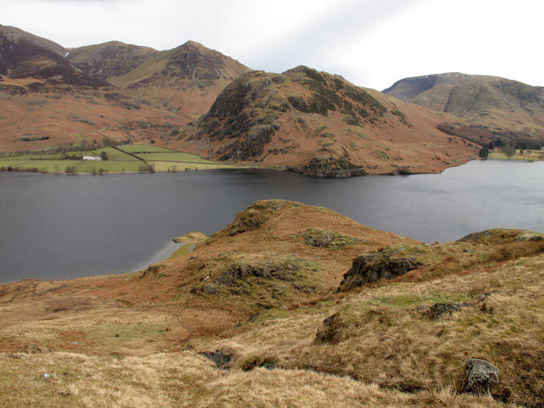
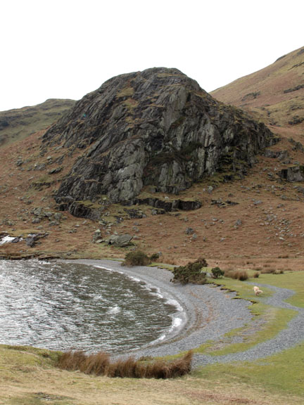
We drop down towards Crummock Water, passing alongside Scale Knott, heading down towards High Ling Crag.
It's interesting how Whiteless Pike, Rannerdale Knotts, Low Ling and High Ling Crags are all in alignment. Could it be to do with some long ago volcanic intrusion into the valley ?
On High Ling Crag the wind is not so strong but the sky is getting more overcast and all the colour has been lost from above the High Stile Ridge.
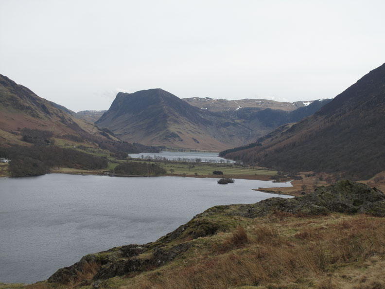
Fleetwith Pike at the head of Buttermere, as seen from the top of High Ling Crag.
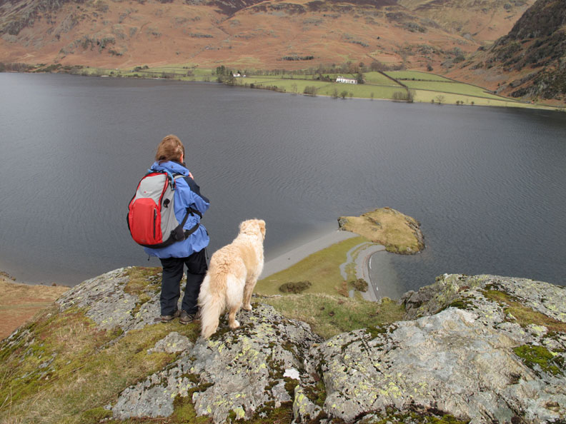
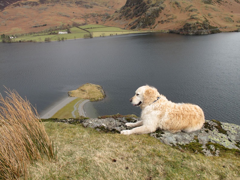
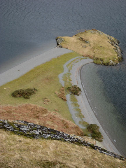
Ann and Harry look down on the water and the isthmus of Low Ling Crag below. Has it ever struck you how the lower crag looks like a golden retriever's head ?
See what we mean . . . it's even got the right ears !
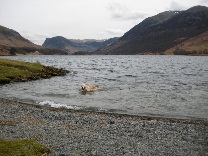
Time for a swim . . . rather you than me today.
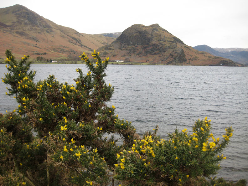
The gorse is just starting to flower, adding a little colour to the lake side.
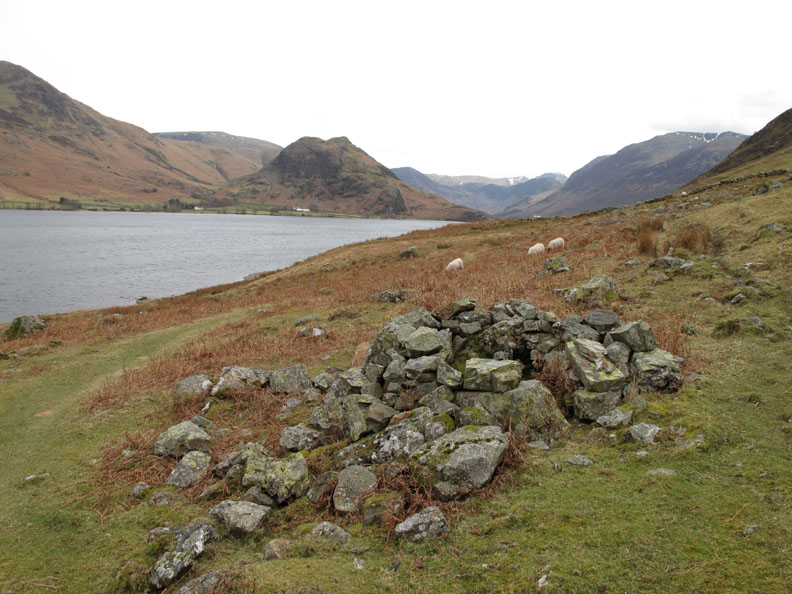
An old round shelter, possibly a shooting position (?) on the fell side well above the lake.
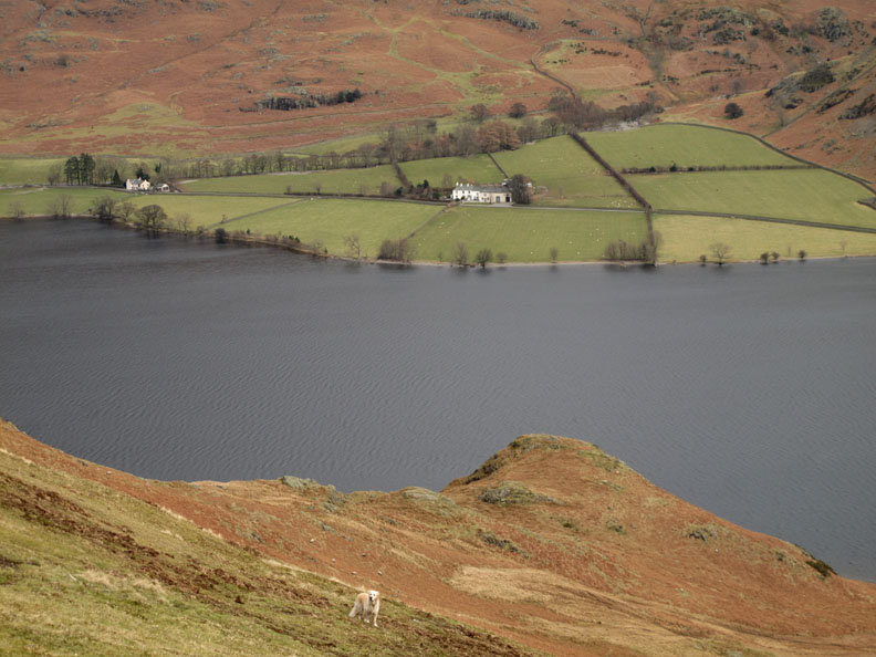
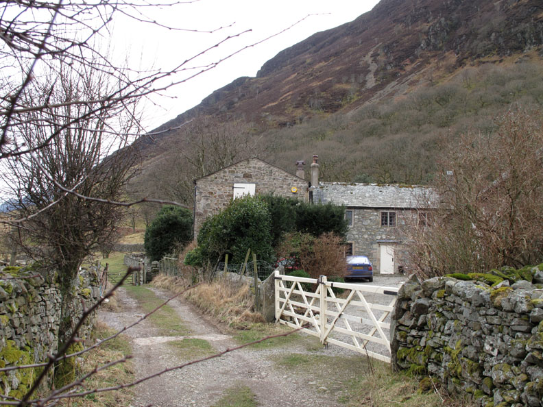
Nearing the end of the walk now . . . We pass close by High Park House that we had looked down on as we climbed earlier in the day.
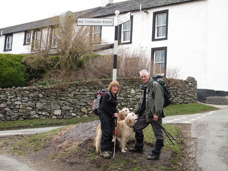
Back to the sign post . . . so it's only a short walk back to the cottage from here. - - - o o o - - - |
Technical note: Pictures taken with either Ann's Canon 75 or my Canon G10 digital camera. Resized in Photoshop, and built up on a Dreamweaver web builder. This site best viewed with . . . Tea and scones . . . this time home-made at the cottage ! © RmH.2010 # Email me here # or leave me a Guest Book Entry Previous walk - 14th March 2010 Catbells from Little Town A previous time up here - 16th May 2007 Mellbreak with Nick at lunchtime Next walk - 27th March 2010 An Aiken Beck Round
|