![]()

Remember: Press F11 for a full
screen view of this page.
|
|
|
Remember: Press F11 for a full
screen view of this page. |
|
Silver How from High Close Date & start time: Tuesday 2nd March 2010, 12.15 pm start. Location of Start : Near the cattle grid beyond High Close, Grasmere, Cumbria, Uk ( NY 337 052 ) Places visited : Dow Bank, Spedding Crag, Silver How, Lang How and back. Walk details : 4.6 mls, 1150 ft, 4 hrs 10 mins including lunch. Highest point : Lang How 1345 ft ( 414m) Walked with : Ann and the dogs, Harry and Bethan. Weather : Sunshine and blue skies !
|
|
A beautifully sunny winter's day coincides with time off work so we travel over Dunmail Raise and into the southern Lakes for a walk across to Silver How. Silver was a good description as the late winter snow glistened in the afternoon sunshine.
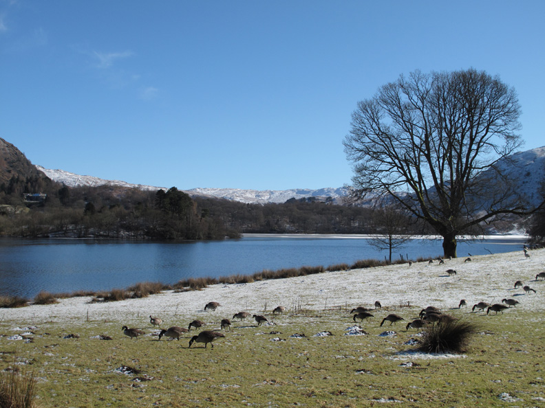
This was the view that greeted us as we drove around the back of Grasmere. There's still a heavy frost on the grass where the geese are grazing.
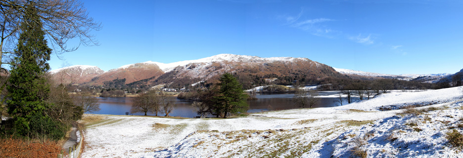
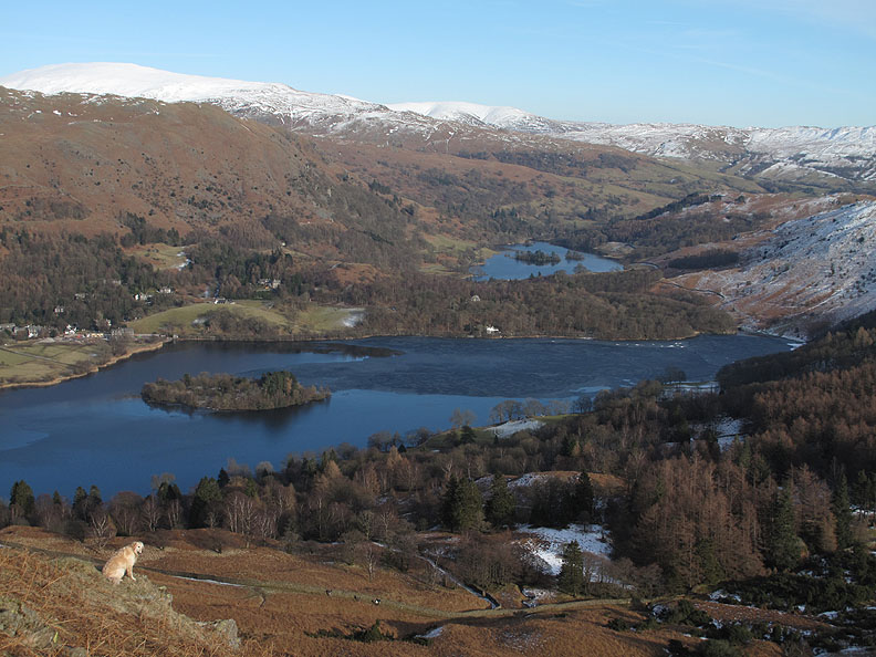
Slightly further up Red Bank we stopped again to enjoy the wider view down on the lake. Click here or on the picture above for an expanded view of the lake.
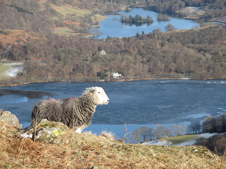
The ice on Grasmere is more obvious where the last snow shower settled and failed to melt.
We found a convenient place to park just beyond the youth hostel at High Close, off the road and off the patches of ice that still covered it.
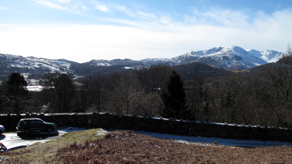
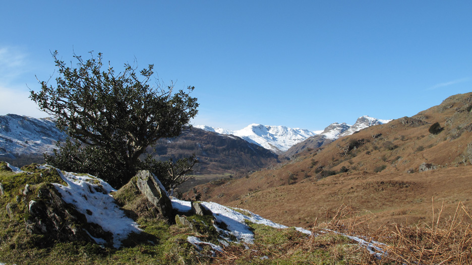
Looking over the wall there's a wonderful view of Wetherlam, Swirl How and Great Carrs.
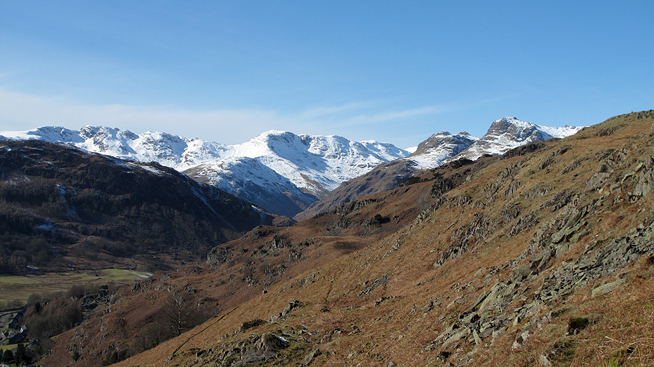
As we climb up onto the fell we start to get a view of the snow covered fells at the head of the Langdale Valley.
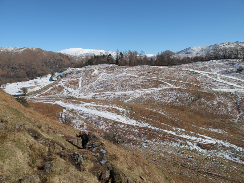
The first of many short, steep little climbs on this undulating fell takes us up onto Dow Bank.
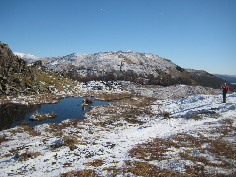
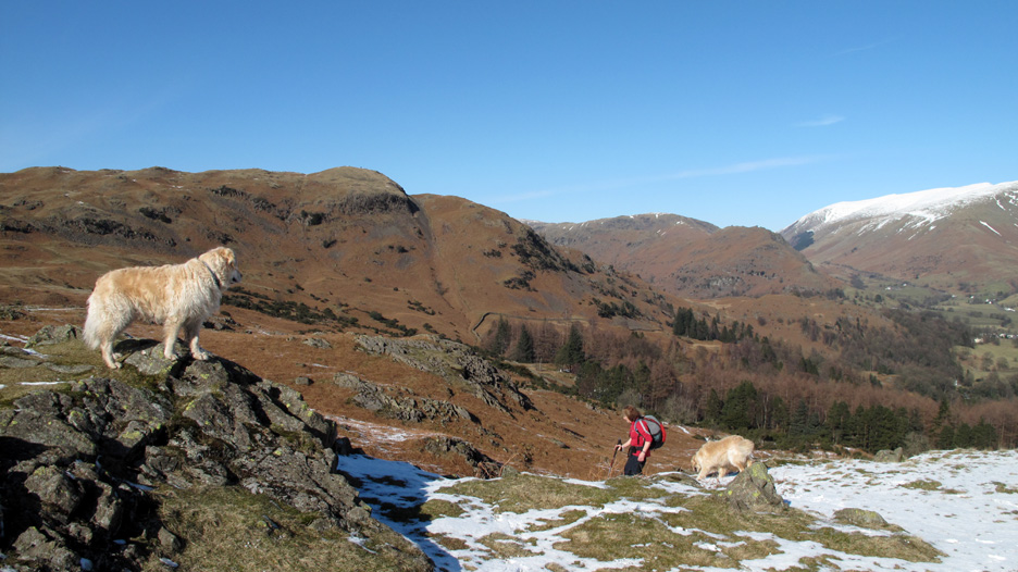
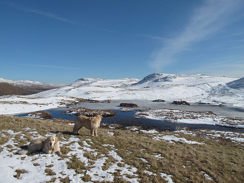
Loughrigg behind us as Ann catches me taking a photo of the first of several small tarns.
Harry claims the island but Bethan doesn't seem to bothered. I look across the tarn towards Dunmail Rise, Seat Sandal and Great Rigg on the Fairfield Round.
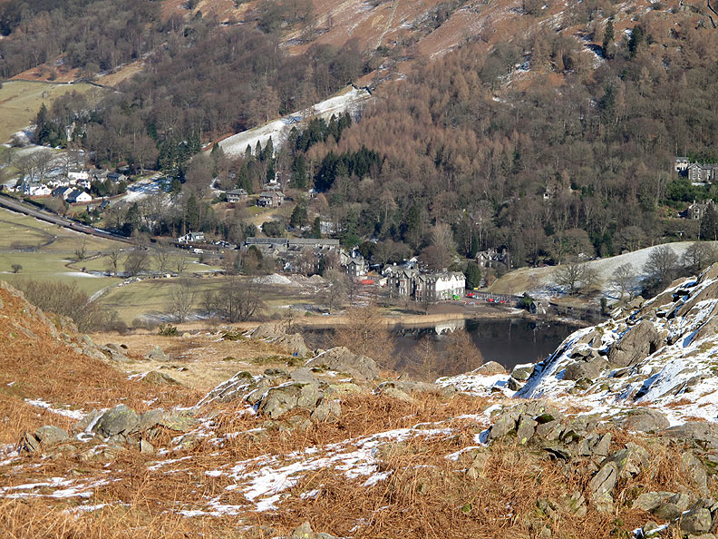
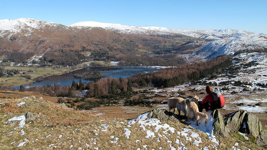
Looking down on the Thistle Hotel at the head of Grasmere and the houses surrounding Wordsworth's Dove Cottage behind it.
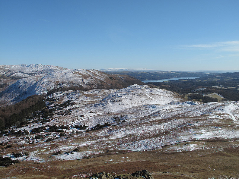
From higher up Dow Bank our view of the Langdales is improving all the time. Crinkle Crags has now appeared on the left above the slopes of Lingmoor.
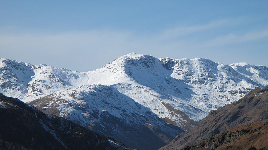
Zooming in on Bowfell and the broad spur climbing from the left known as The Band.
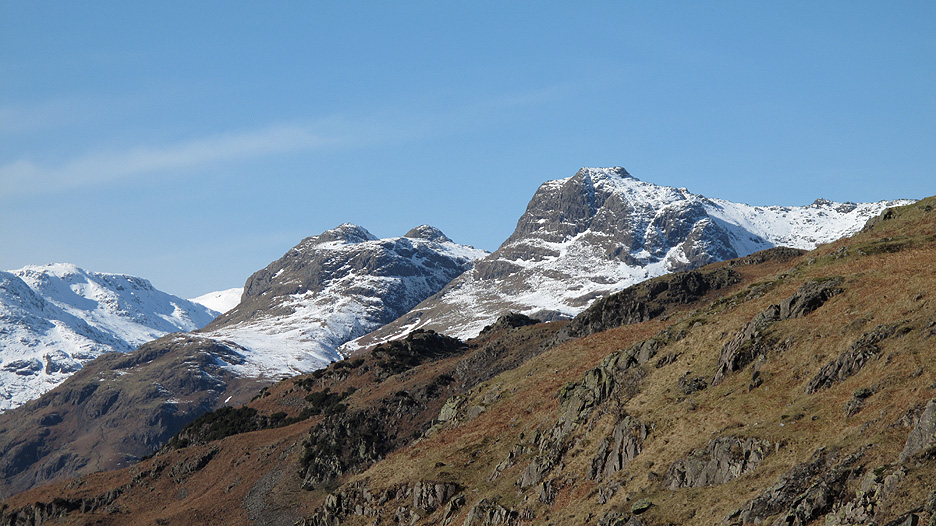
A closer view of the Langdale Pikes too. There's still a fair bit of snow on them, more than on the north western fells around our cottage.
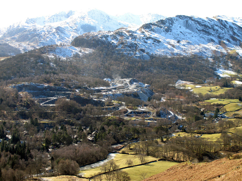
Across the valley we can see (and hear) the slate quarries of Elterwater. They are still very much in business but produce a much lighter coloured green slate than the Honister mines.
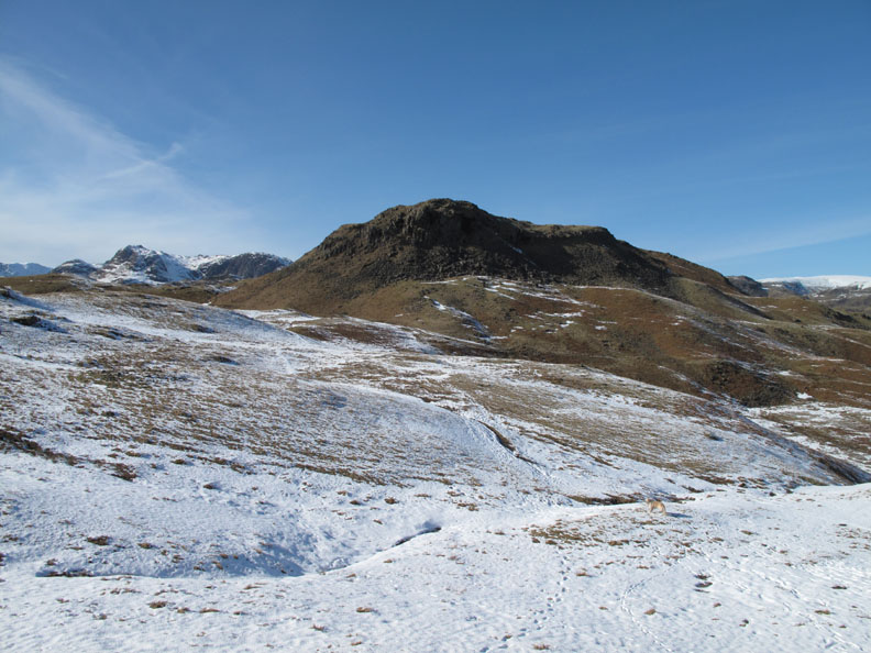
The purpose of today's walk was to re-visit Silver How above Grasmere and our chosen summit is now within sight as we walk across the top of Dow Bank.
Over the brown, bracken covered slopes and up a short steep rise we find ourselves us at the summit of Silver How.
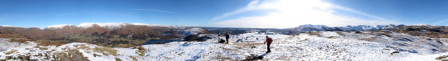
Click here or on the photo above for Loweswatercam 360 degree annotated panorama.
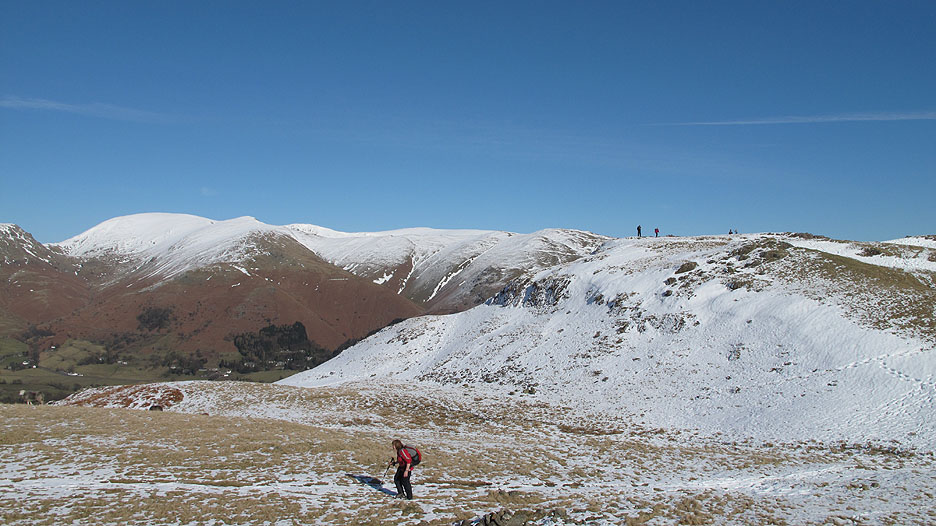
The view east from the top includes the high fells of Yorkshire in the distance. The northern slopes of the fells retain the snow longer than the south facing slopes below us.
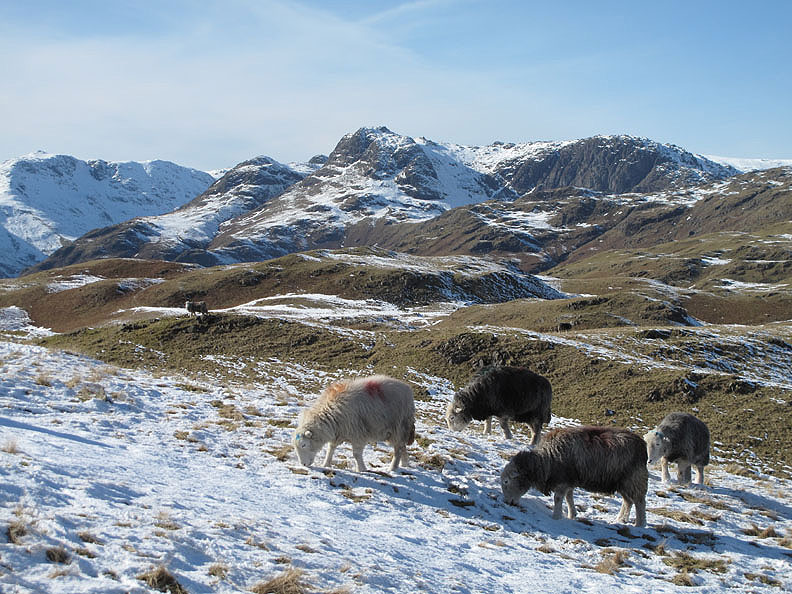
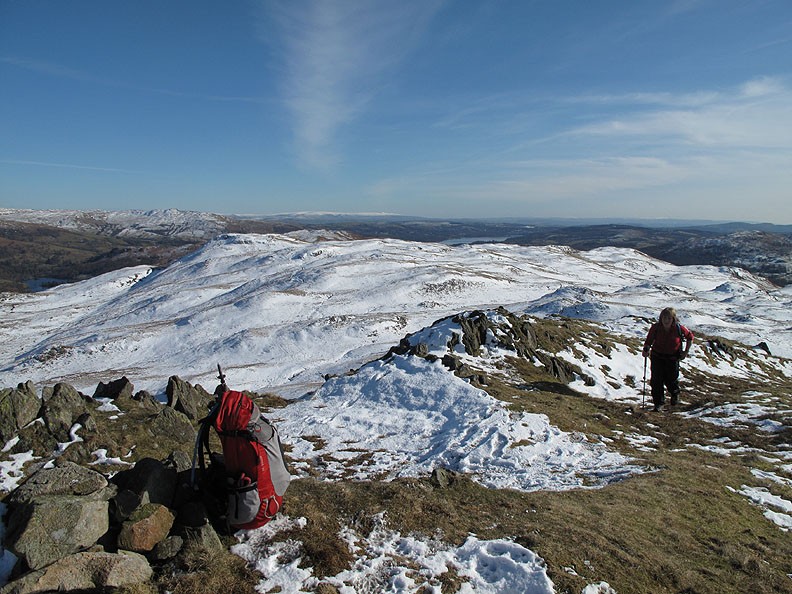
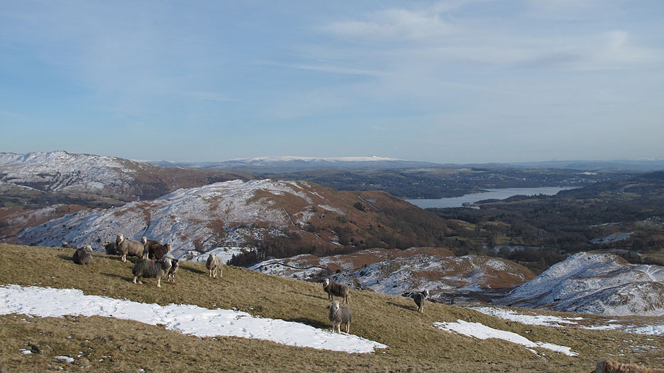
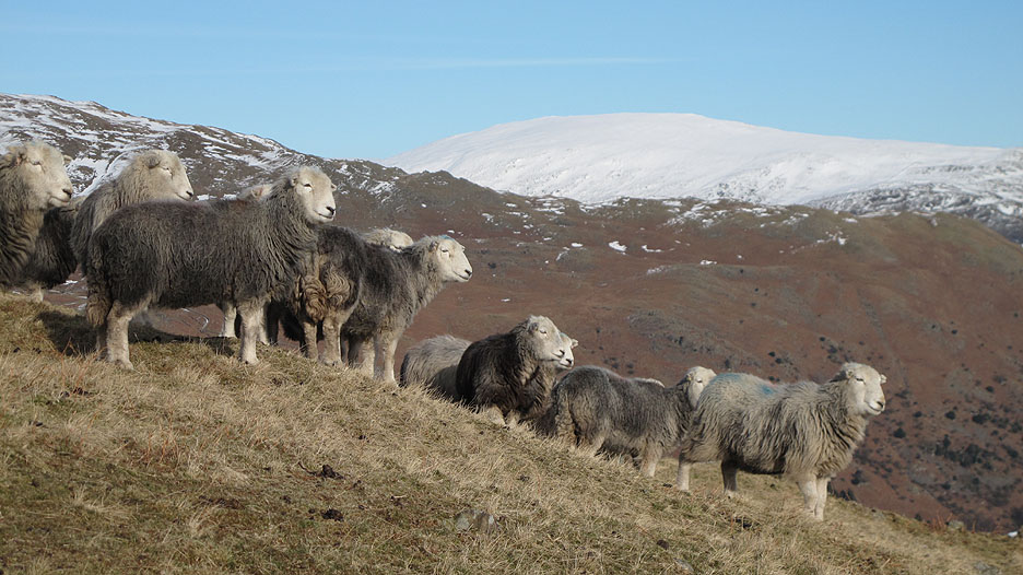
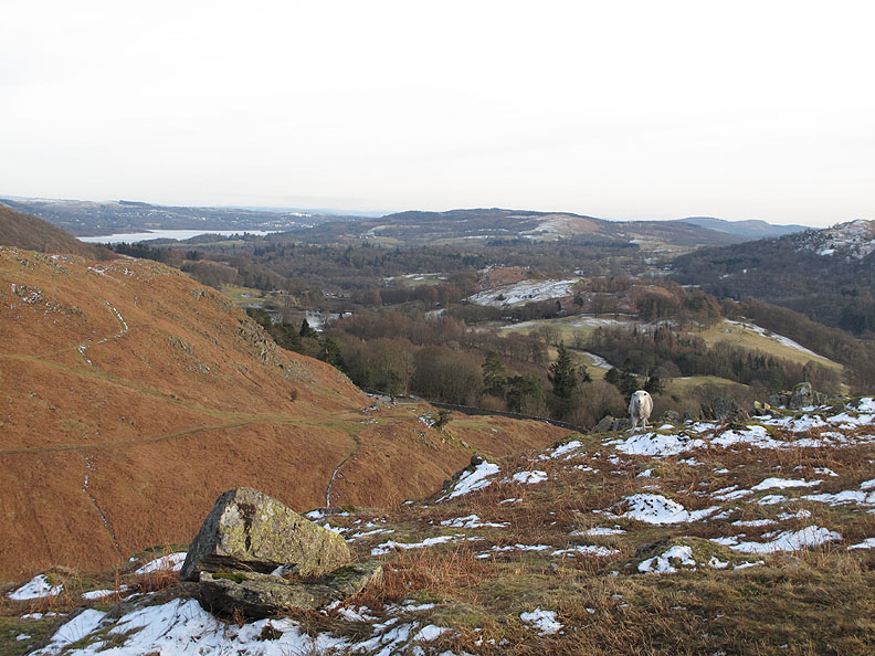
Too early for lunch, we continue on our way across the undulating fells towards the distant Langdale Pikes. There's a small flock of sheep up here at the summit, taking advantage of the recent snow melt to expose some new areas of grass.
Our place on the summit has been taken by a new group of walkers as we make our way over to our next summit. In the distance are the snow covered fells of the Fairfield Horseshoe.
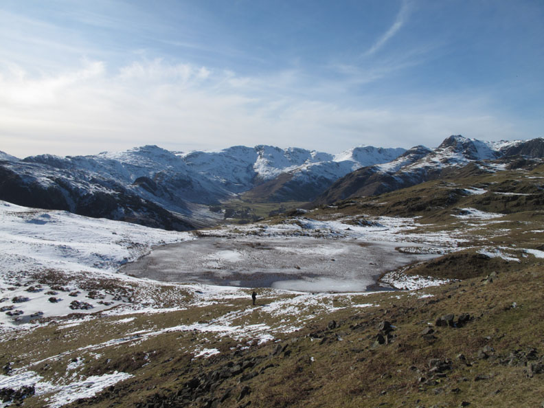
Lang How . . . that looks a nice place to stop for " lunch with a view".
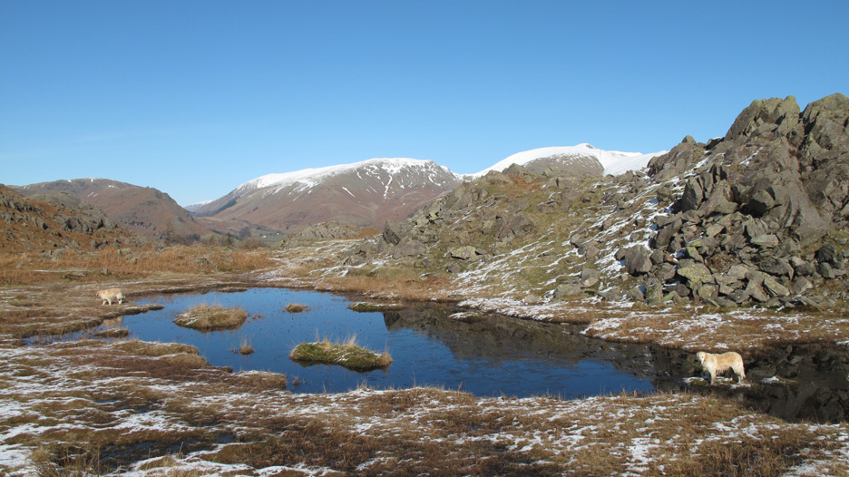
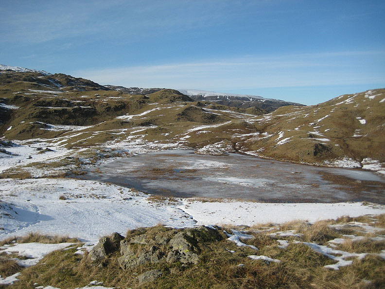
Before we reach it we pass two larger un-named tarns. The recent warmer days has started to melt the ice on this one allowing the water to reflect the deep blue of the sky.
The second, larger tarn is on the other side of Lang How. This is the one that is almost lost under a cover of vegetation later in the summer.
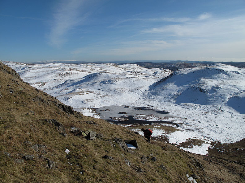
The contrast in snow cover is very evident as Ann climbs the steep bank up onto Lang How.
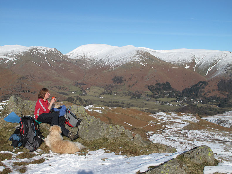
"X" marks the spot where we will sit and enjoy the view for the next half hour or so.
The warm sunshine is a delight but a warm mug of soup is also appreciated . . . it's still only the second day of March after all.
After our break we walk across the fell, past the second tarn, in order to get a view down into the Langdale Valley again.
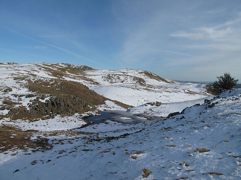
Just as Loughrigg Fell has many undulations, so too has Silver How, with many choices of paths to follow and several smaller tarns to enjoy.
Back to the sheep and almost to the summit of Silver How. Those distant snow covered hills are the Yorkshire peaks of Whernside and Ingleborough.
Herdwicks and High Pike.
Granny and Grasmere.
Bethan was enjoying the view too. Who says dogs don't appreciate the scenery they see on their walks ?
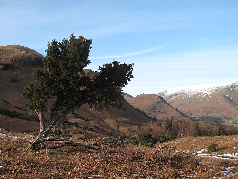
Walking back we took a more northerly path around Dow Bank which brought us closer to these Juniper trees. The familiar shape of Helm Crag has now emerged again from behind Silver How.
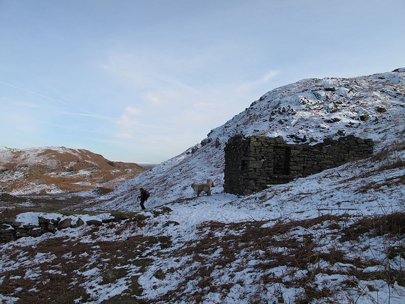
Walking this way back we pass an old building tucked under the hill. With large doors and windows like that it was most likely a shepherds hut or shooting lodge rather than a peat store.
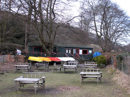
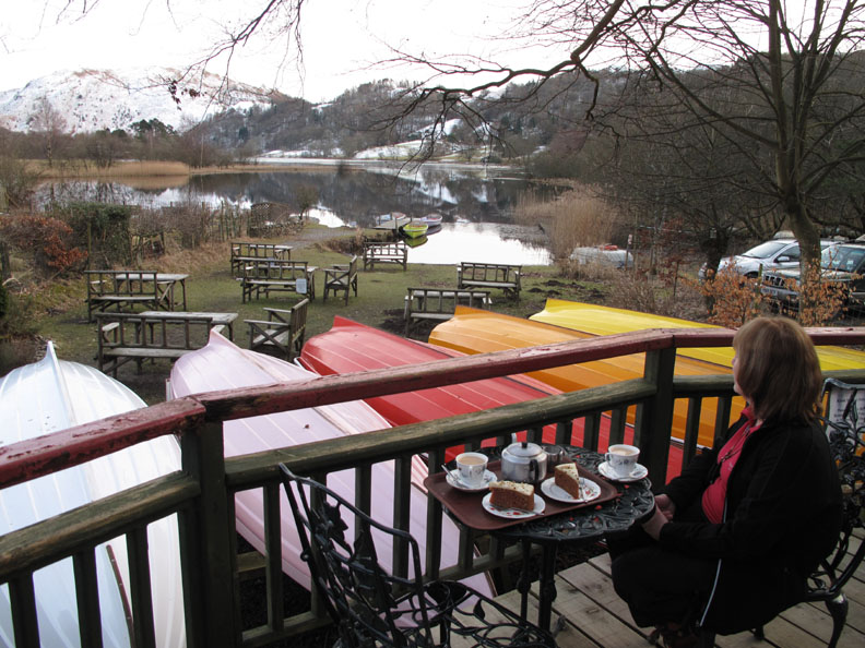
Dropping down the last slope would bring us back to the car at the top of Red Bank at the end of a very enjoyable walk. - - - o o o - - - Before we drive home to the northern Lakes again it would be nice to enjoy some light refreshment somewhere. Let me think . . . yes . . . how about the Faeryland Tearooms by the lake near Grasmere village.
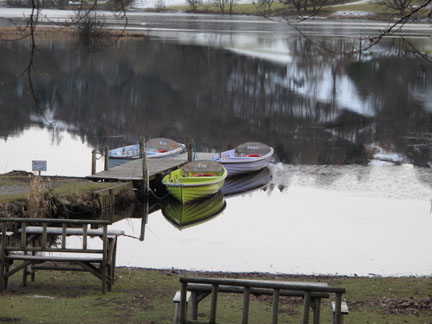
Moored by the lakeside the small boats are ready for any willing visitors but there's not much open water for them to row around even if they wanted.
The tearooms served a rather nice carrot cake and pot of tea as we sat and enjoyed the reflections on the calm lake. Many thanks to the owner for opening the tearooms even though there were not many visitors about today. We certainly appreciated it. - - - o o o - - - |
Technical note: Pictures taken with either Ann's Canon 75 or my Canon G10 digital camera. Resized in Photoshop, and built up on a Dreamweaver web builder. This site best viewed with . . . clear sun on this lovely winter's day. © RmH.2010 # Email me here # or leave me a Guest Book Entry Previous walk - 1st March 2010 Dale Head and the Mines A previous time up here - 27th April 2006 The Easedale Fells and Sergeant Man Next walk - 7th March 2010 Bakestall and a Cold Lunch
|