![]()

Remember: Press F11 for a full
screen view of this page.
|
|
|
Remember: Press F11 for a full
screen view of this page. |
|
Dale Head and the Slate Mines Date & start time: Monday 1st March 2010, 2.25 pm start. Location of Start : Honister Hause NT Car park, Cumbria, Uk ( NY 226 153 ) Places visited : Honister, Dale Head and back down via the Yew Crag Mines. Walk details : 2.5 mls, 1375 ft, 1 hrs 40 mins. Highest point : Dale Head 2473 ( 753m). Walked with : Myself and the dogs, Harry and Bethan, meeting up with Ann later. Weather : Cloudy to start but improved dramatically.
|
|
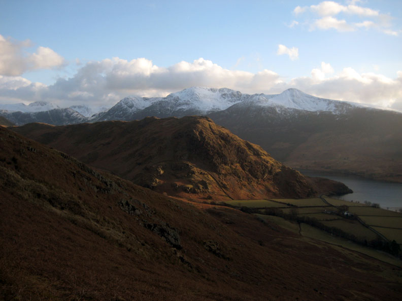
A quick trip out to exercise the dogs turned into a really nice walk up and back to Dale Head. Early cloud caused the fells to be in shadow, but on the return by an unusual route the sun broke through and full colour returned to the
fells.
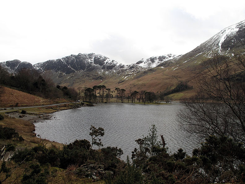
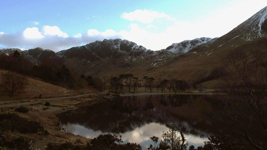
The Buttermere Pines as I made my way up the valley. The overcast skies causes the snow covered fells to blend somewhat with the clouds above.
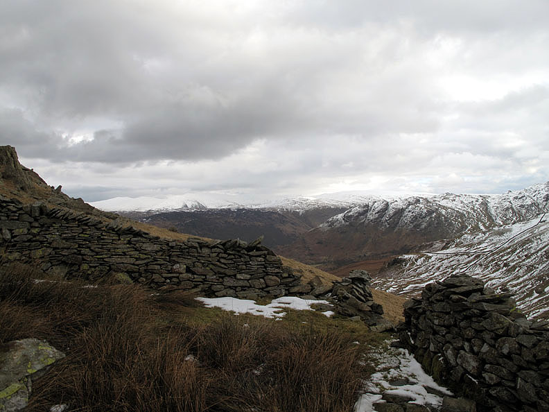
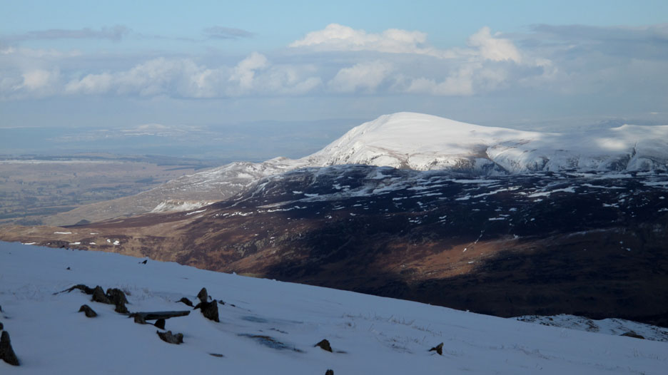
Part way up I divert slightly to an old sheep fold and get a view across to the indistinct Helvellyn Range.
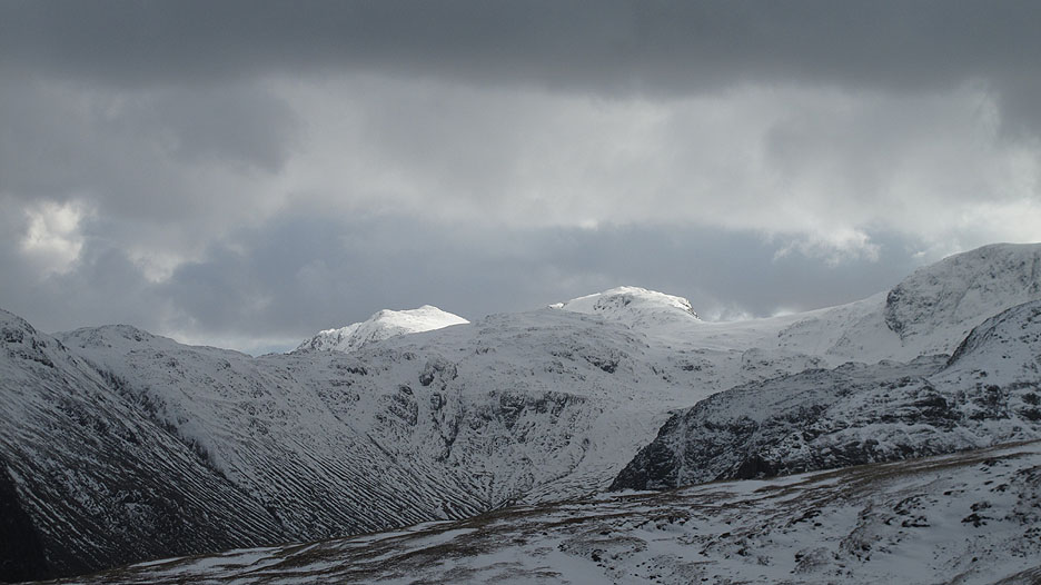
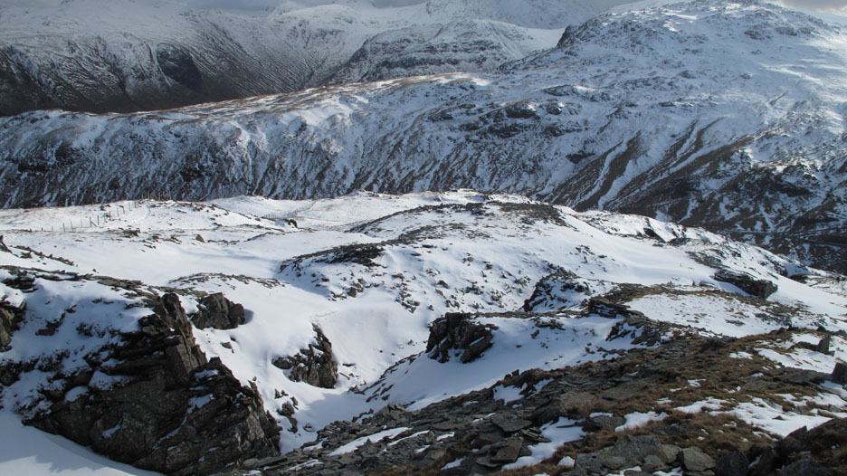
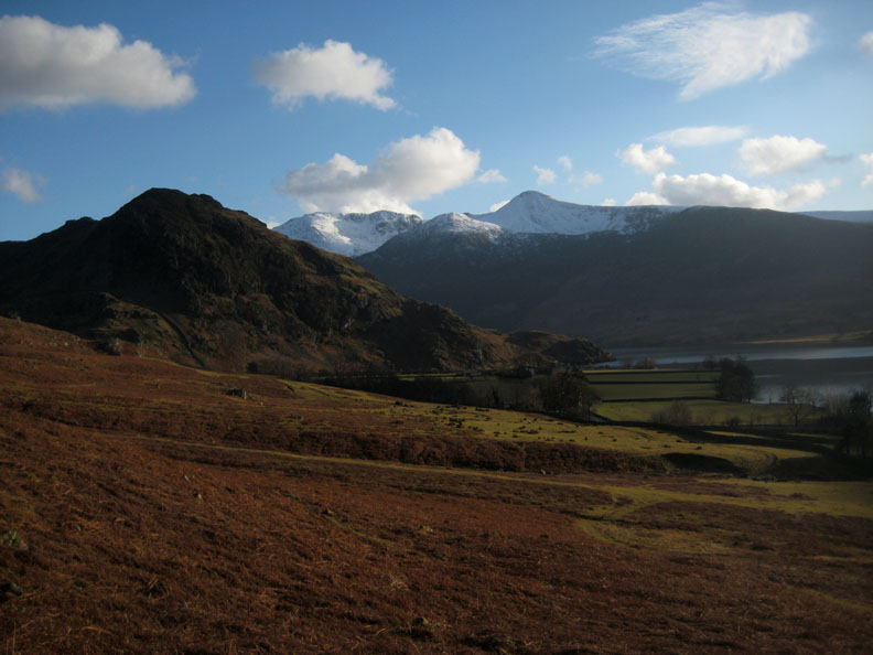
The south facing slopes that I climb are devoid of snow at this point but looking across all the northern slopes of facing fells are a totally different colour . . . especially when a shaft of sunlight picks out Esk Pike and Bowfell.
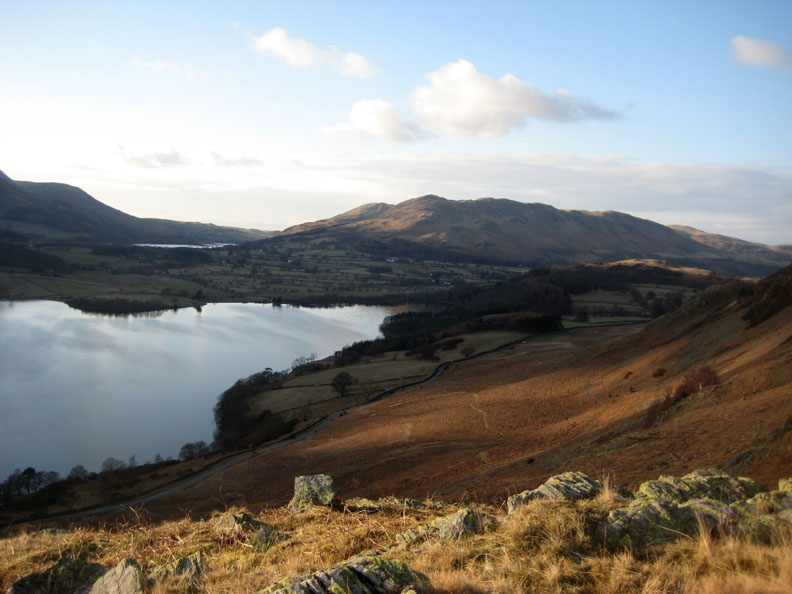
Distant High Raise has a thick covering of snow (beyond Glaramara) but this side of the valley the sheepfold on Seatoller Fell stands clear of the partially melted snow cover.
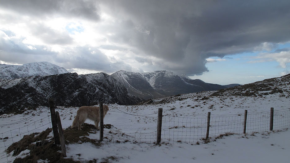
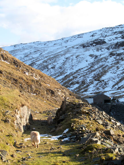
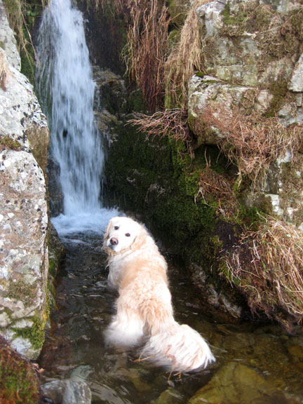
Harry takes advantage of a break in the fence to see if the snow is whiter on the other side.
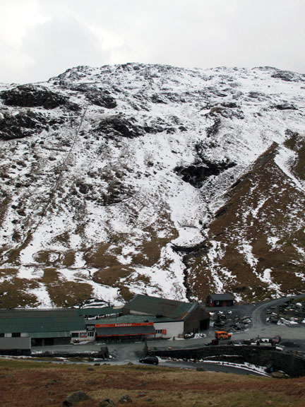
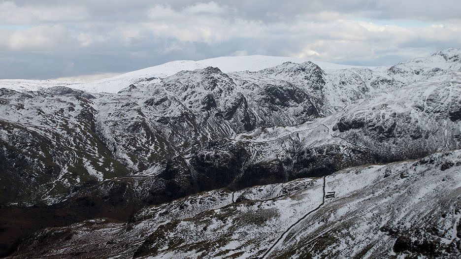
Another bright shaft of sunlight penetrates the cloud cover to illuminate the quarry road and standing stones on the way to the top Honister Quarries.
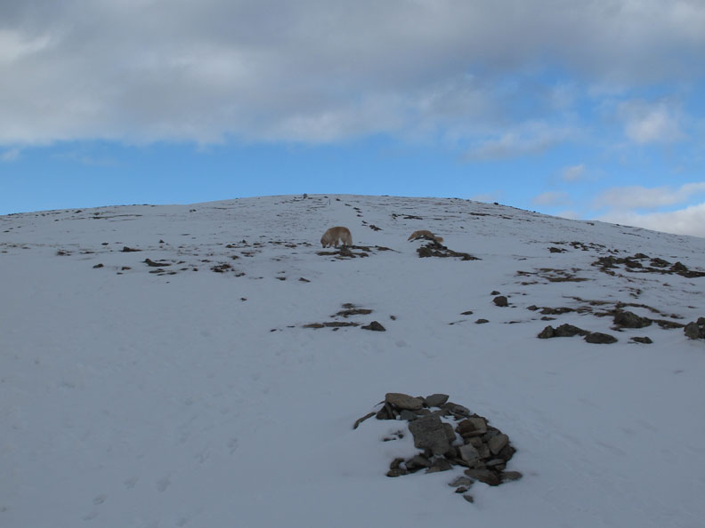
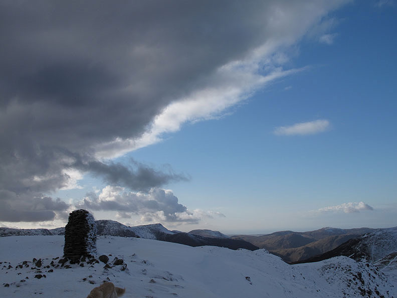
The last pull to the summit of Dale Head and lo and behold I look up and there's a blue sky ahead.
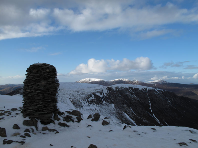
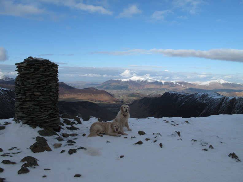
The top of the world at Dale Head cairn. I stopped and looked around . . . well it's the sort of thing you'd do yourself given the same situation.
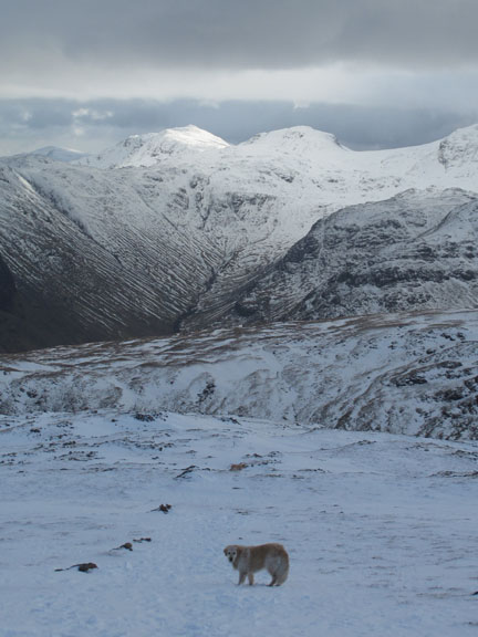
Harry and Bethan are quite content at a quick glance, a sniff and then a pause to allow me to take their picture.
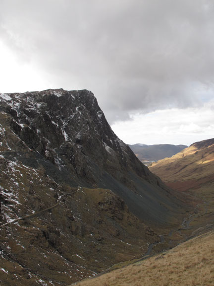
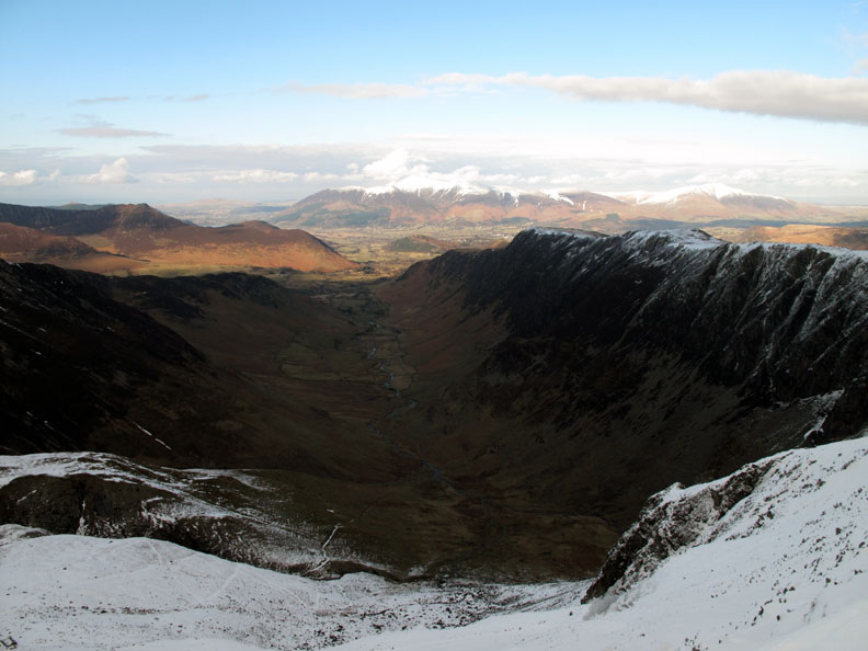
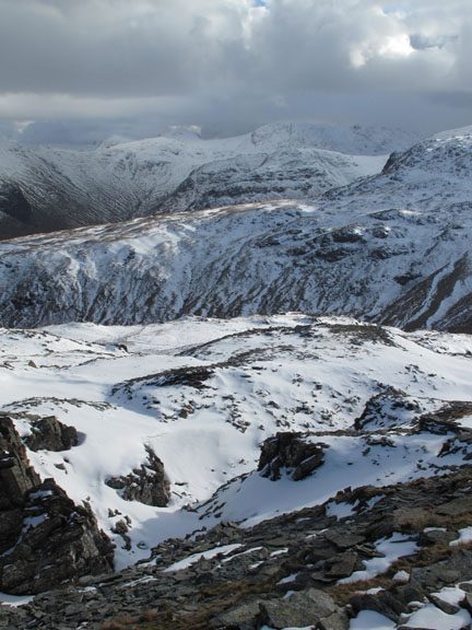
The green and brown Newlands Valley over the small cornice and Dale Head's Great Gable crags.
Dale Head Cairn looking north to the distant Solway. The distinct edge of the cloud is very evident here as the northern breeze forces the air up over the high fells.
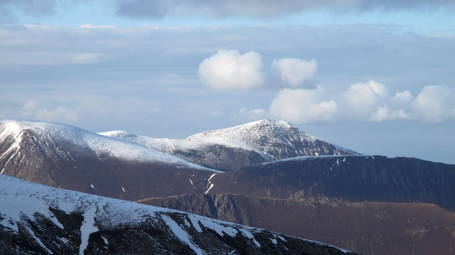
The north western fells are clear of cloud and Grisedale Pike looks superb.
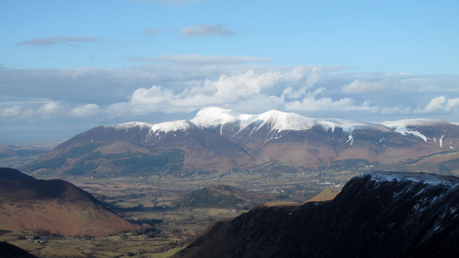
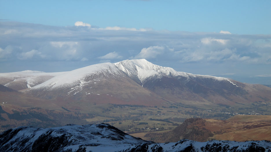
Skiddaw has a covering of snow, some of which has been there since early November.
Likewise Blencathra along to the right seen above Blea Crag and High White Rake cairns on Maiden Moor / High Spy ridge.
Clough Head is in brilliant sunshine, unlike its diminutive neighbour, Calf How Pike. Both are seen above the dappled heather of Bleaberry Fell and the High Seat / High Tove ridge.
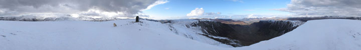
Click here or on the photo above for a full Loweswatercam 360 degree annotated panorama.
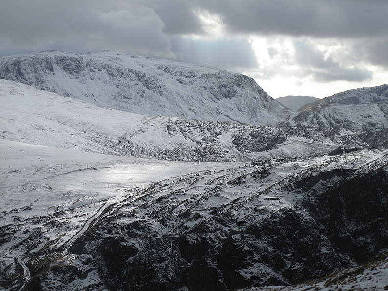
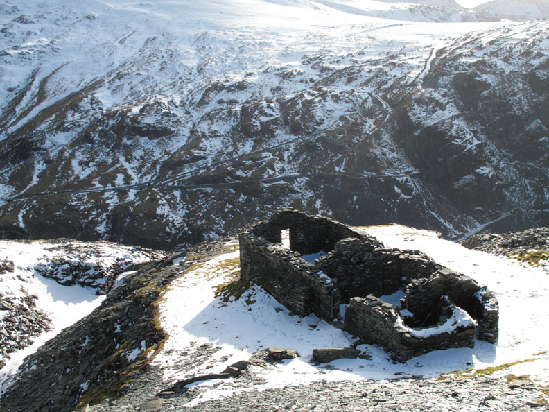
I decided to cross over to look at the top workings of the old Yew Crag Slate Mines. The top open quarries were partially filled with snow making identification of specific ones difficult.
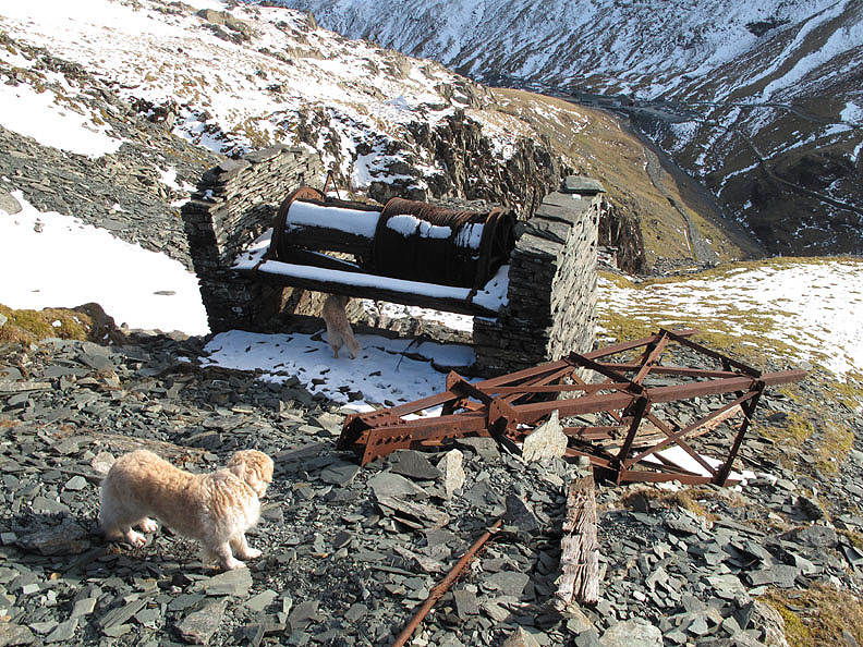
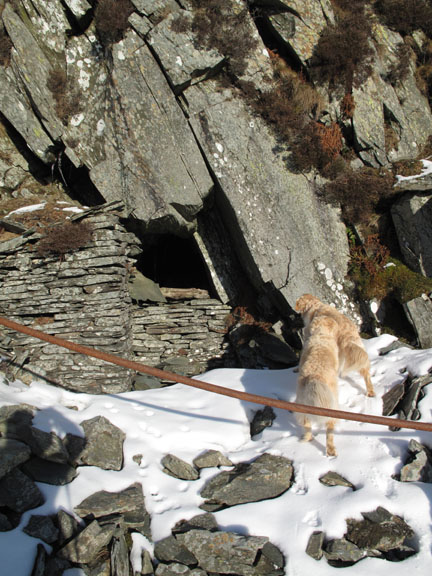
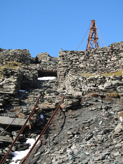
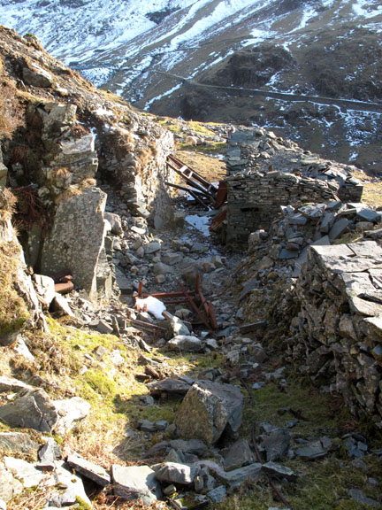
No mistaking the Mine buildings perched high above the Yew Crag Incline.
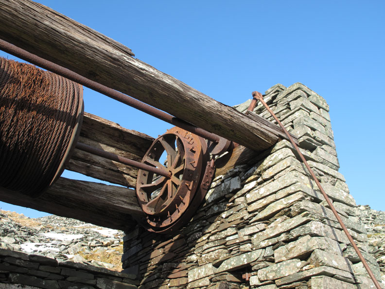
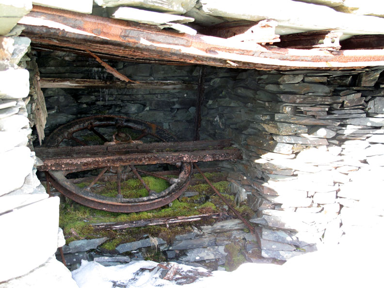
Closer inspection reveals the old cable drum and a fallen pylon.
The manual brake system on the old drum . . . yes . . . you would right calling it "drum brakes".
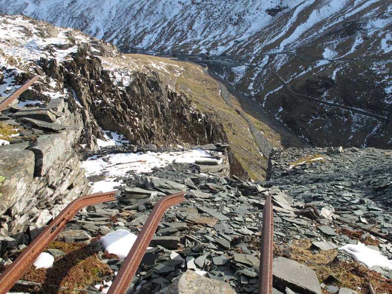
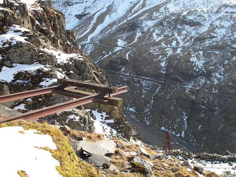
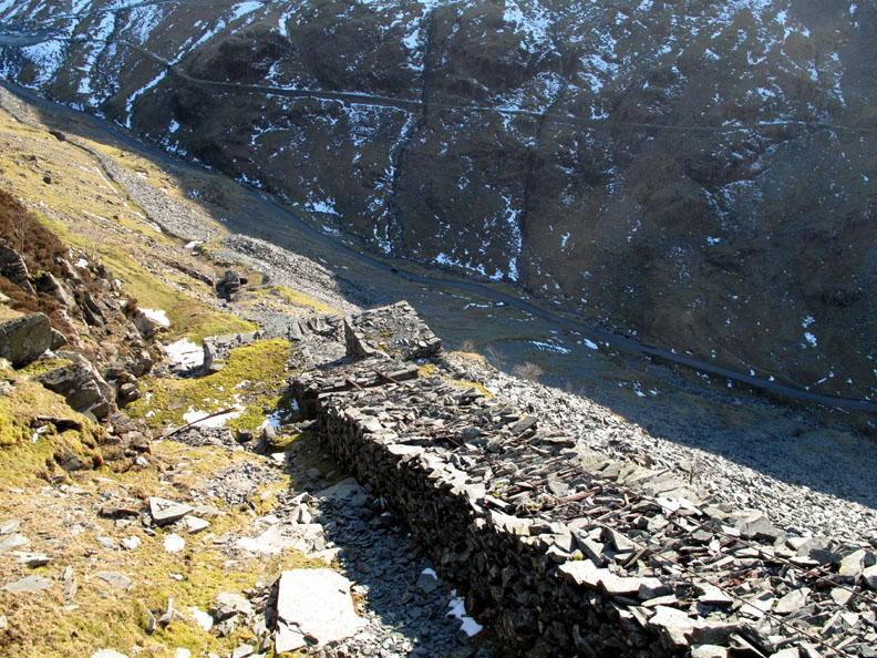
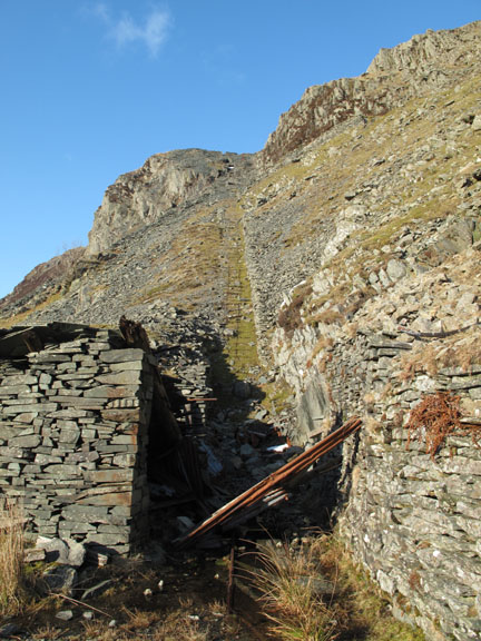
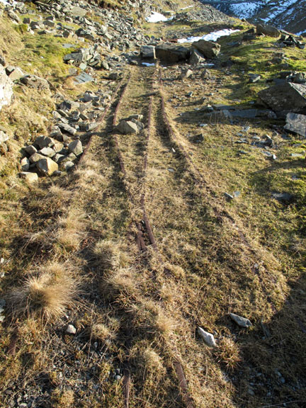
It stands at the head of a very steep incline as shown by the steep angle of the descent rails.
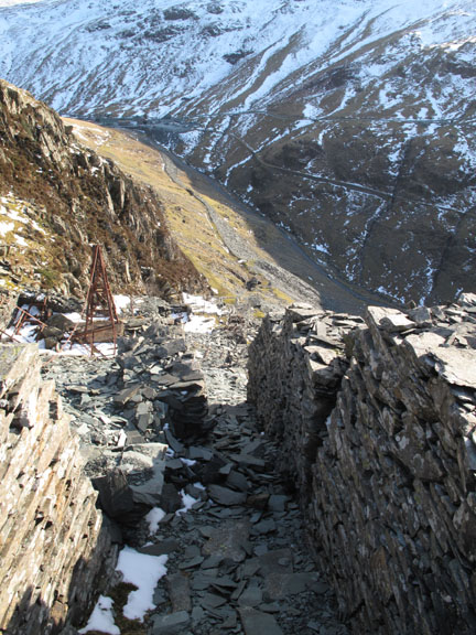
This one had an old rail track sticking out into mid air. Another pylon can be seen below, on the alignment of the main incline.
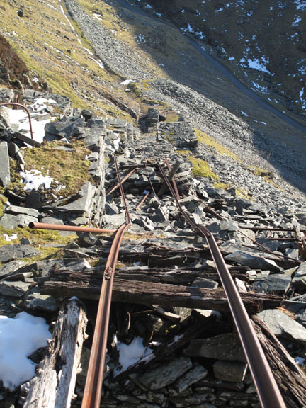
Part way down, an interesting horizontal wheel indicating a secondary cable system for hauling trucks. This was part of the revised incline system introduced in 1926. See Mark Weir's Honister Mines website for full details.
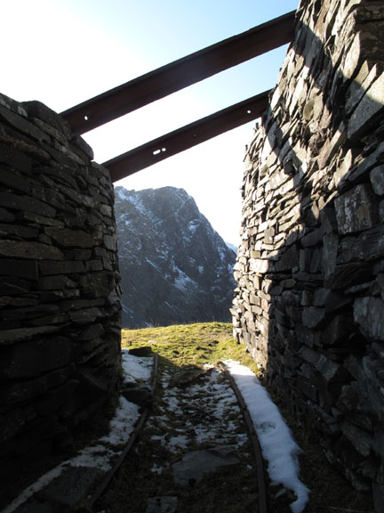
Twin cables lie on top of the slate causeway with a bridge opposite another mine entrance.
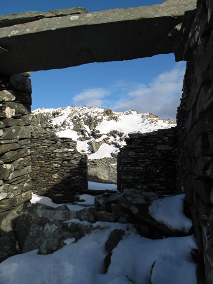
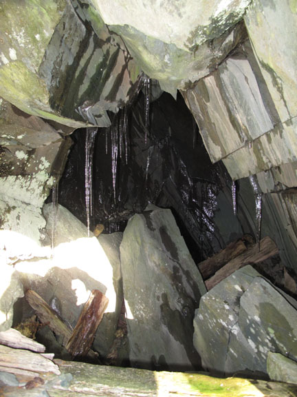
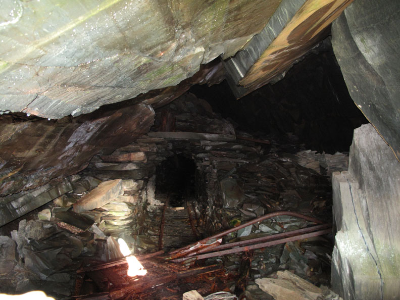
. . .which has exited from this more major addit. Looking in through the blocked exit, the structures are very like those we have seen on the mine tours within the main Honister Quarry complex. Here again, it's great to look in but be assured I got the photo from outside !
The route down had been very steep and rather slippery due to the ice and loose slate. It would have been better in the days of active mining as there was evidence of numerous steps and walkways. Needless to say . . . no animals (or people) were injured in the completion of this tricky descent.
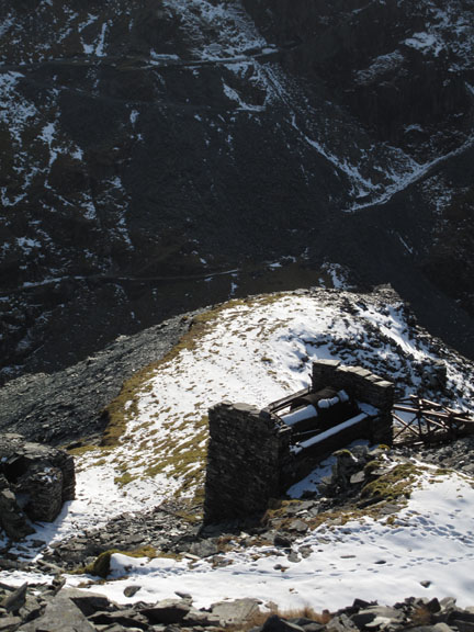
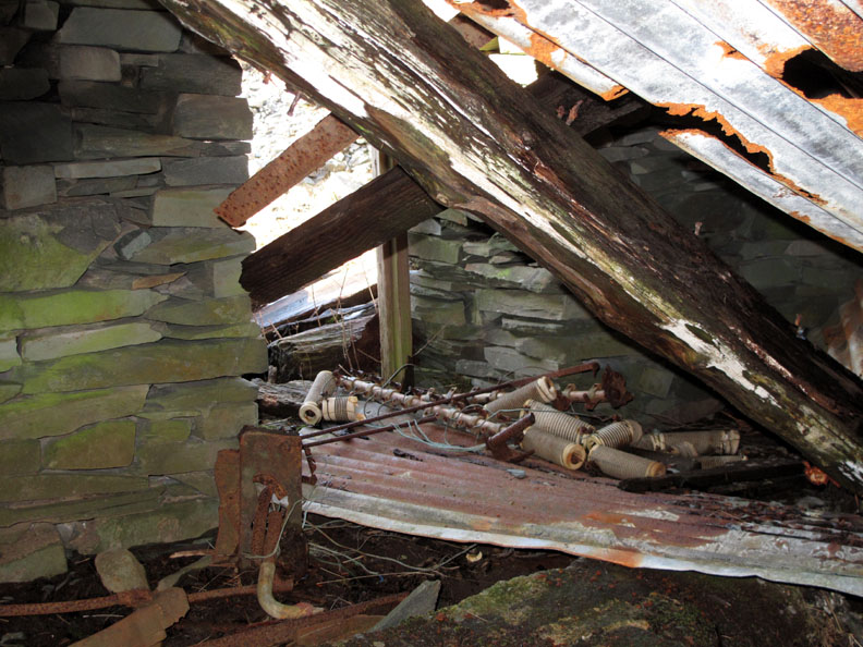
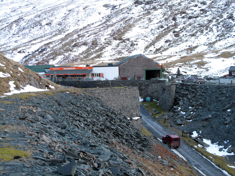
At the base of the incline, evidence of the old winding system and electrical insulators in the winchman's hut. The Yew Crag mines and quarries were eventually phased out in 1963 in favour of the larger Honister mines opposite.
An old bridge used to cross the road here taking the stone from Yew Crags over to the Honister complex for further processing.
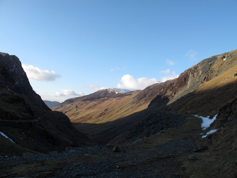
Looking back at sunshine, blue skies, high fells and an interesting descent.
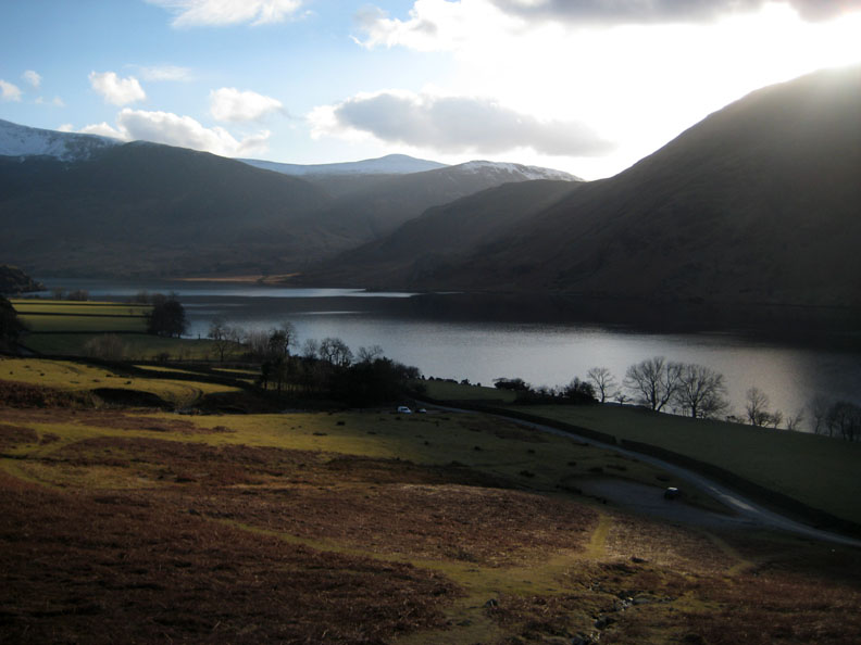
Back to the car and the three of us head for home. The Pines are looking better with the blue skies but the valley is still in deep shadow. - - - o o o - - -
Because of the improved weather late afternoon, Ann had also decided to get out for a walk. I passed her car parked at Cinderdale so stopped to catch up with her on the fells above.
Ann had decided on a shorter walk for herself directly up from Cinderdale car park.
Looking across to Low Fell and Loweswater from her ascent of Grasmoor's flanks.
Lovely late afternoon sun for her too, shining onto Rannerdale Knotts.
- - - o o o - - - |
Technical note: Pictures taken with either Ann's Canon 75(Cinderdale) or my Canon G10 digital camera. Resized in Photoshop, and built up on a Dreamweaver web builder. This site best viewed with . . . the chance to get out to enjoy the weather within the time available. © RmH.2010 # Email me here # or leave me a Guest Book Entry Previous walk - 28th February 2010 Middle Fell in Wasdale A previous time up here - 29th March 2005 Dale Head, Grandchildren and Industrial History Next walk - 2nd March 2010 Silver How in the snow
|