![]()

Remember: Press F11 for a full
screen view of this page.
|
|
|
Remember: Press F11 for a full
screen view of this page. |
| Date & start time: Wednesday 12th August 2009. 10.30 am start. Location of Start : Chapel Bridge, Newlands Valley, Cumbria, Uk ( NY 232 194 ) Places visited : Newlands Church, Low Snab, Goldscope, Newlands Valley, Far Tongue Gill, Dale Head, Hindscarth, Scope End, back via Low Snab farm for some tea and cake. Walk details : 7.9 mls, 2450 ft, 6 hrs 50 mins including two refreshment stops. Highest point : Dale Head 2473 ft ( 753m ) Walked with : Jodie, Amber, Polly, Suzie, Cassie, Harry and Bethan . . . with their hangers on Jo, John, Hilton, Ann and myself. Weather : Low cloud and grey to start but clearing slowly. A cold wind on Hindscarth. [Click on the drop down menu bar
for your choice of Google map or photo display ] |
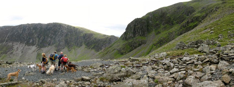
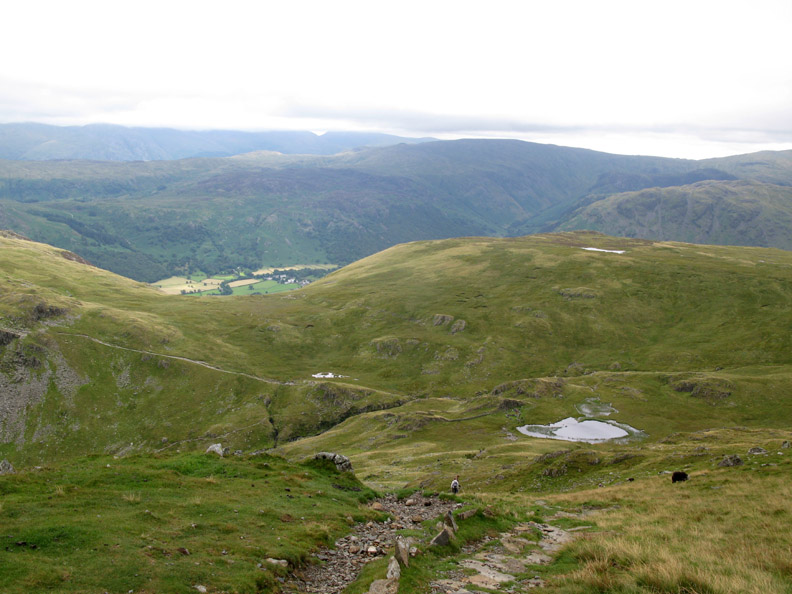
A
direct ascent of Dale Head by it's northern face |
|
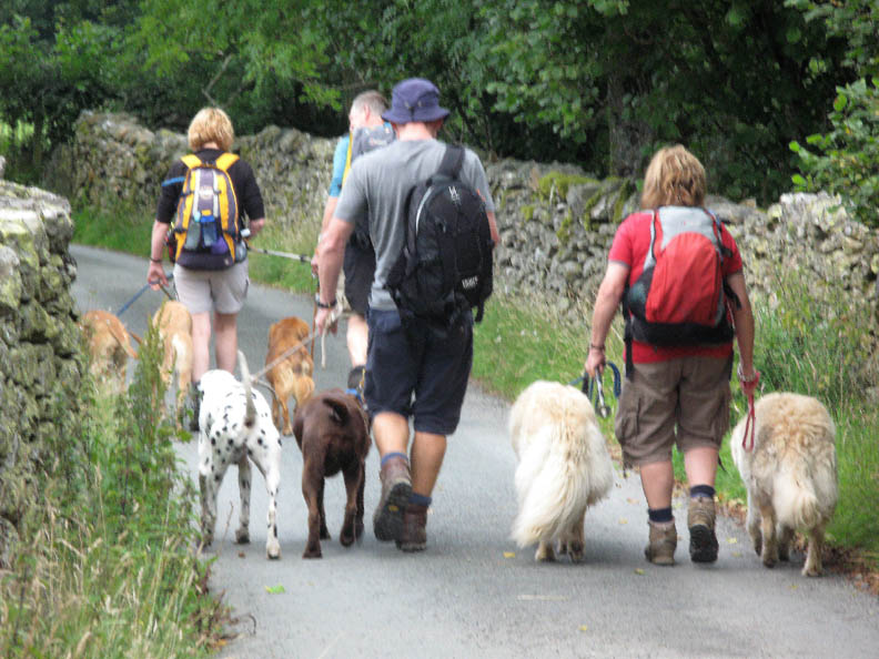
"Crufts on Tour" today as we are outnumbered by our canine friends. An interesting ascent of Dale Head is on the cards as John leads us up a direct ascent of the northern face of the mountain. Let's hope the rain keeps off today as we ascend through this beautiful and interesting valley.
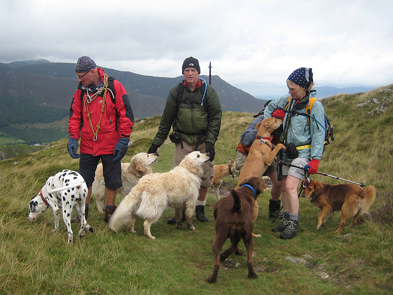
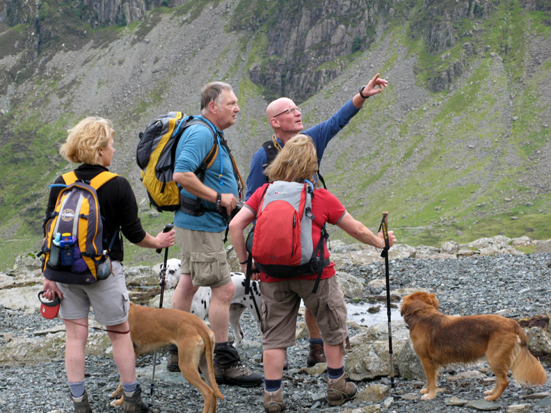
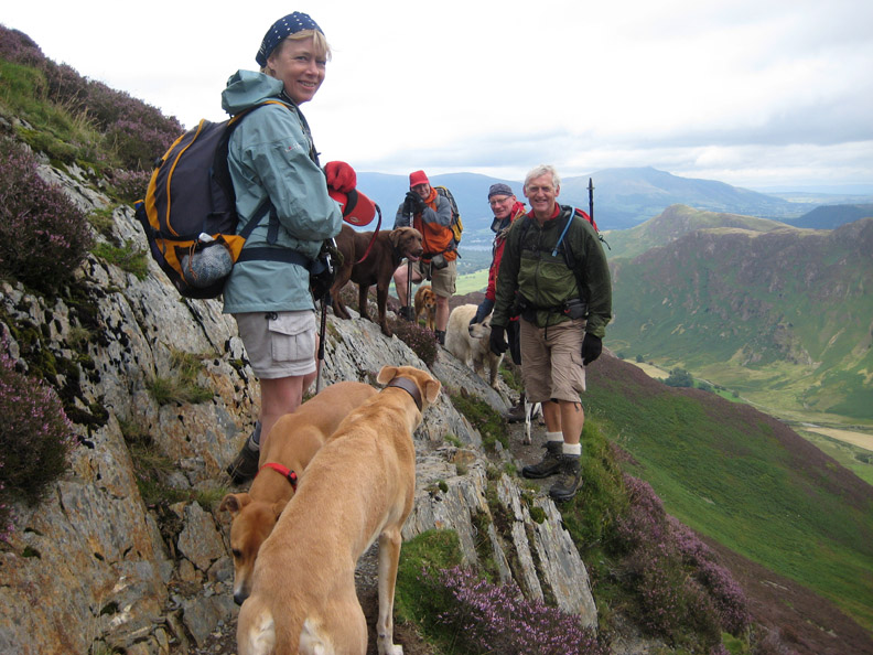
Hilton with Suzie the Dalmatian and (on dog-sitting duties) Cassie the Chocolate Lab, myself with Harry and Bethan, Jodie and Amber with Jo and finally John, hiding behind for some reason, with his dog Polly. The photo is out of sequence but sets the scene for the day !
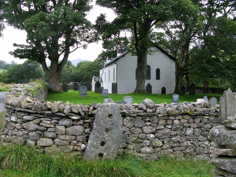
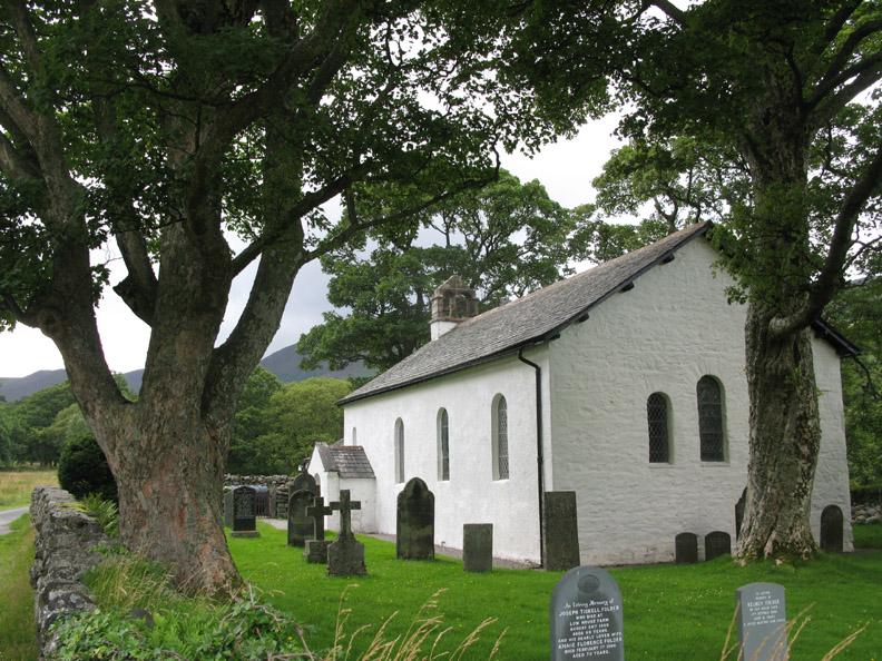
Our start point was at the parking area at Chapel Bridge, adjacent to delightful Newlands Chapel. A workman is up on the roof doing a few minor repairs to the ridge tiles.
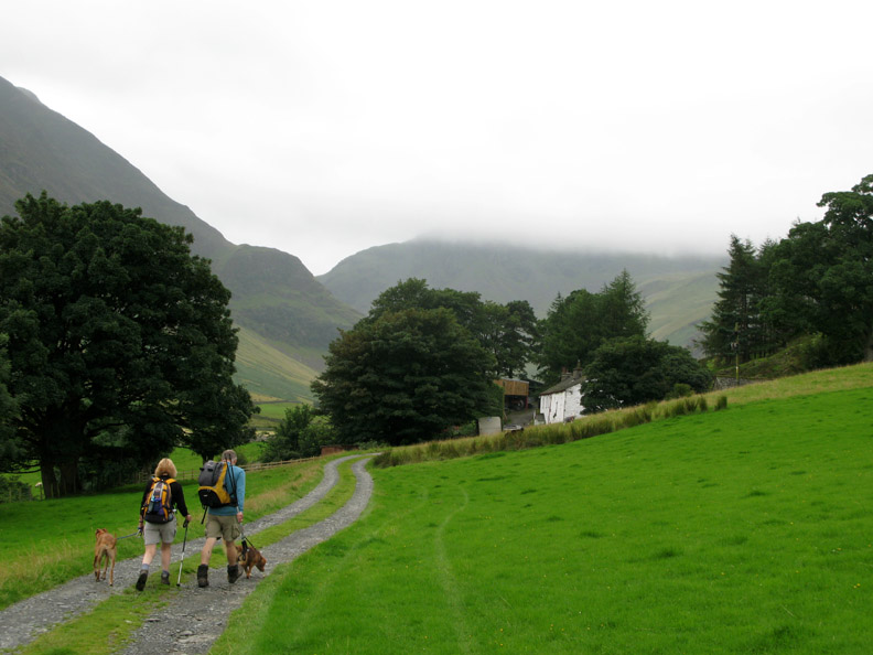
A left turn takes us up the farm track to Low Snab Farm. The cloud is down on Dale Head at this time but it is forecasted to lift. Keep your fingers crossed for a nice day.
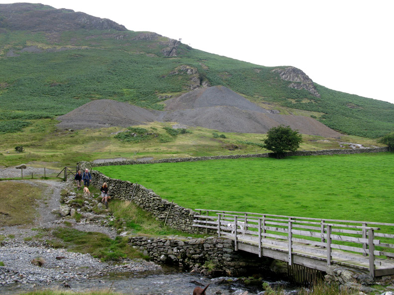
We make for the footbridge over Newlands Beck . . . behind are the spoil heaps of the old Goldscope Mine.
These are very old lead and copper mines which actually produced very little gold, despite their name. Some of the addits date back to 1564 and the adjacent earthworks possibly even earlier. It has been closed since the 1920's.
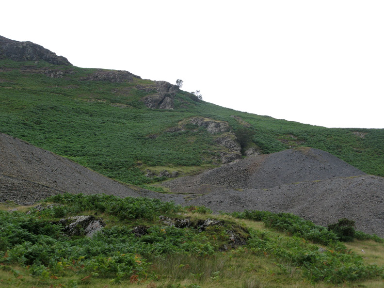
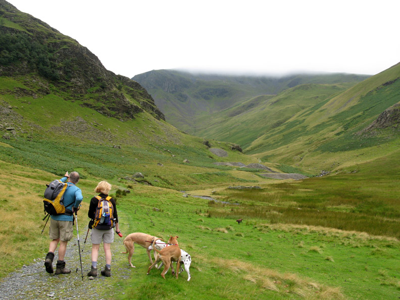
Walking up the valley, John points out Castle Nook Crags. At it's base are the Castle Nook Lead Mines, their spoil heaps crossing the valley track that we will be using.
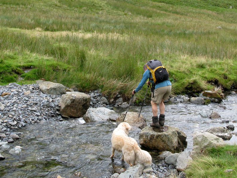
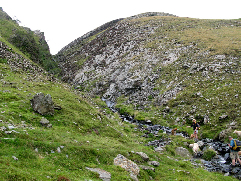
We need to cross the beck so John finds the large stepping stones he'd used last time he was here.
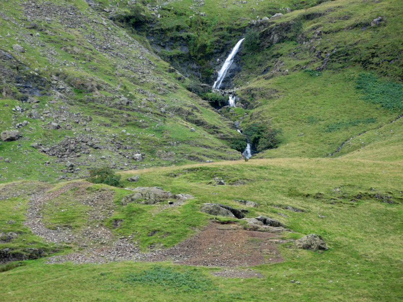
A close up of the waterfalls that cascade down from Dale Head Tarn. On the ground in front of them the old Long Work Copper Mines are Elizabethan in age, and were briefly extended in the 1690's.
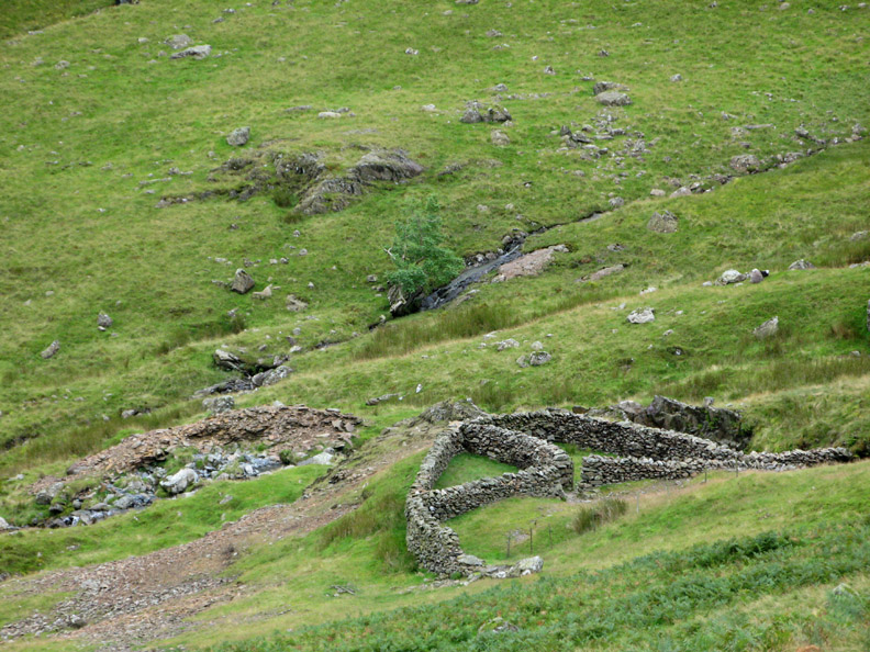
More mine spoil by the modern sheepfold at the head of the valley. Despite the long period of time since the mines have closed, the vegetation has not recovered due to the metallic nature of the waste rock.
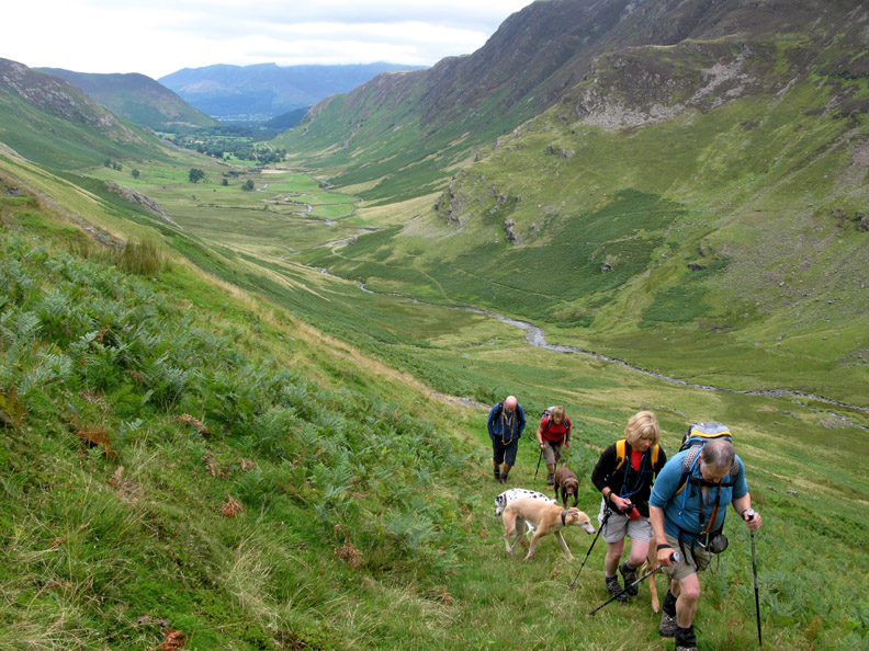
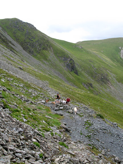
Head down, climbing seriously now on yet another old miner's track.
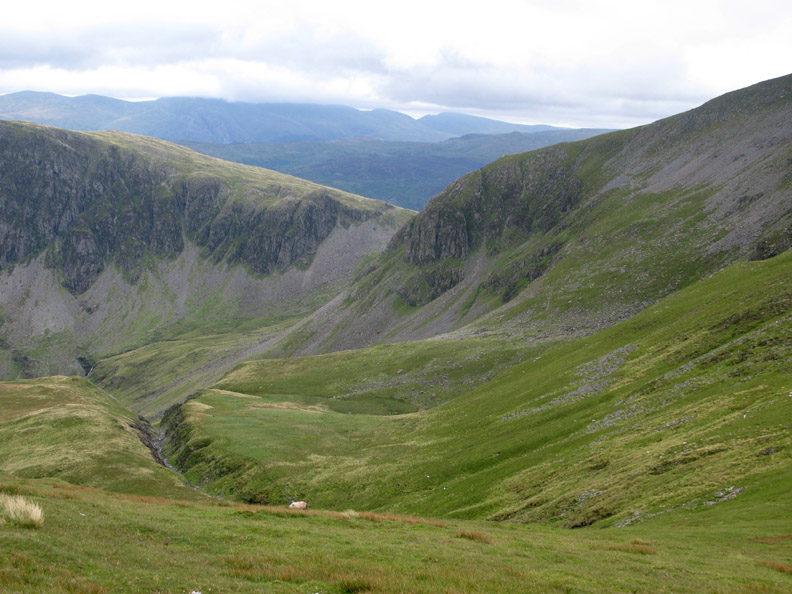
A prominent and seemingly natural gash in the fell side . . . as Far Tongue Gill drains off the fell.
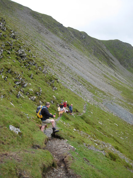
Zig-zagging our way up, the distant views are improving as the clouds lift.
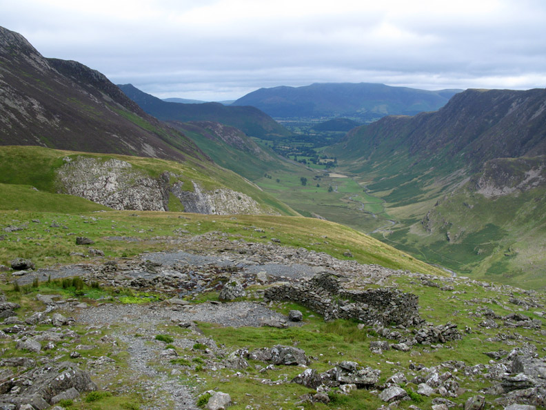
On a level piece of ground at the head of Far Tongue Gill, yet another old mine building and spoil heap.
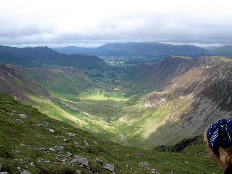
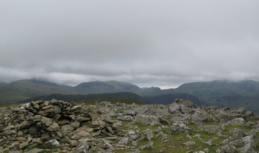
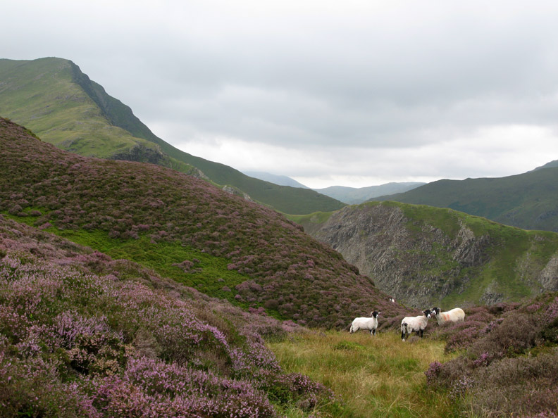
We pause and enjoy the view on the remains of the spoil heap close to the ruined building. The distant fell is High Spy and the nearer crag shares it's name with a more illustrious near neighbour . . . Great Gable.
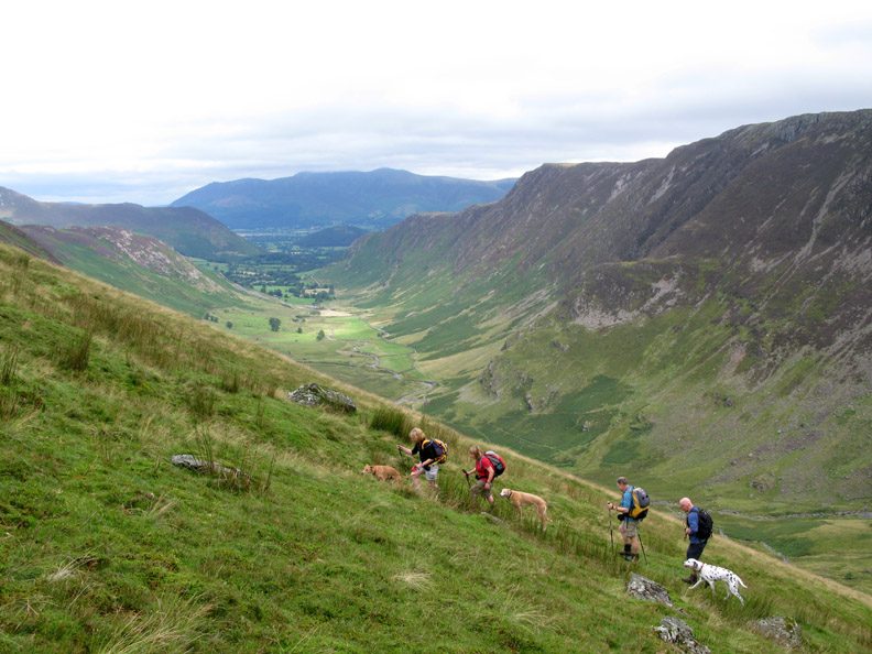
Hilton points out the the route ahead . . . past the building, past the top spoil heap, across the face of Dale Head on that narrow rising path . . . and ending way up there !
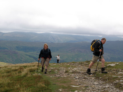
Reaching the eastern ridge of Dale Head itself we must have gained considerable height as we are now level with the good folk gathered around High Spy summit cairn opposite.
Looking over the ridge as we join the pitched path that climbs from Dale Head Tarn below.
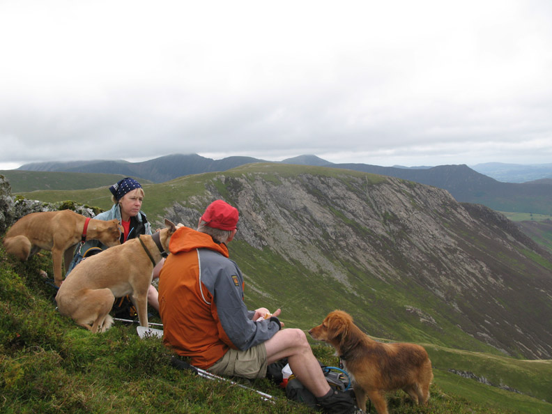
After all that climbing I think it's time for lunch in the same spot that we used nine days ago but because the wind is stronger and more north westerly, we sit further round the slope.
A similar view of Newlands valley but no rainbow this time . . . that's good . . . it must mean it's not raining !
To the contrary, the sun has come out and patches of bright colour appear to move across the landscape, illuminating first the valley and then moving on to brighten the summit ridge of High Spy.
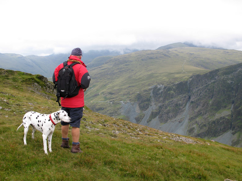
I won't make you jealous with an explanation of our lunch of home made bread with succulent sandwich fillings of Moroccan Humus, home grown salad and St. Agur cheese washed down with orange juice . . . just to say that we were on the move again along Hindscarth Edge. What the photo doesn't show is the strong and rather cool breeze that found us dipping into the rucksacks for winter hats and gloves.
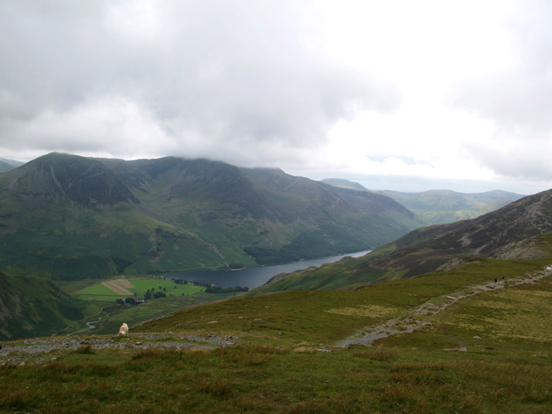
Views down over Buttermere were complemented by by those of Honister Crags. Hilton checks out the Via Ferrata route up the old diagonal mine tracks. The cloud is still down on the Scafells opposite.
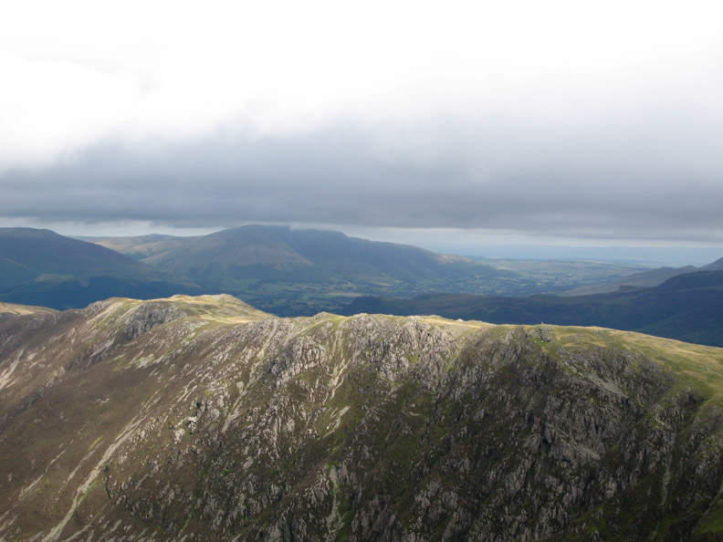
Skirting round the fell side we have a good view back to the Great Gable Crags and get to look down the deep gash of Far Tongue Gill.
Clouds cover the other Great Gable, but Kirk Fell and Yewbarrow (through the gap) are clear. The summit shelter of Hindscarth has seen better days and is of little use today in these cold winds as it faces the wrong direction.
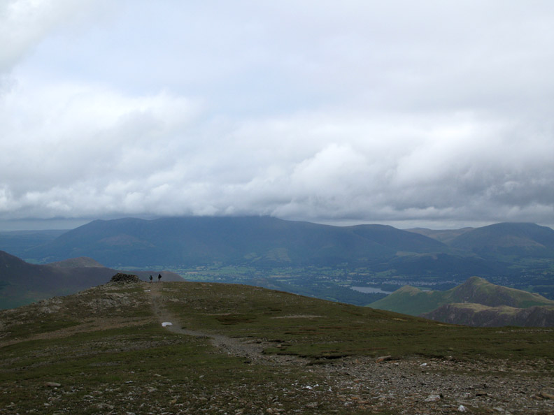
The better shelter is the lower one which looks north over Skiddaw and Derwent Water.
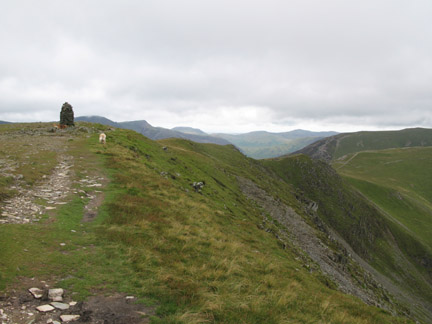
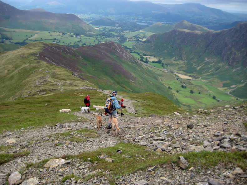
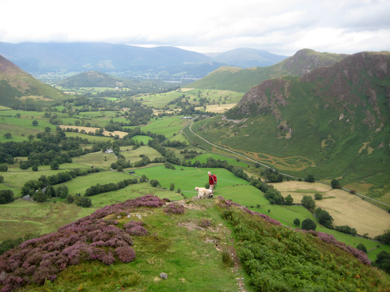
Having already had lunch on Dale Head we don't stay long before continuing our way down Scope End. The path is basically a broad and easy one but does have a few rockier sections.
The obligatory fashion and glamour shot . . . Jo and the other guys don't look bad either !
The Scope End heather is really starting to bloom nicely. Further over is the rocky descent of High Snab Bank, down from Robinson, with the Newlands Pass road route crossing through the gap beyond to reach the Buttermere valley.
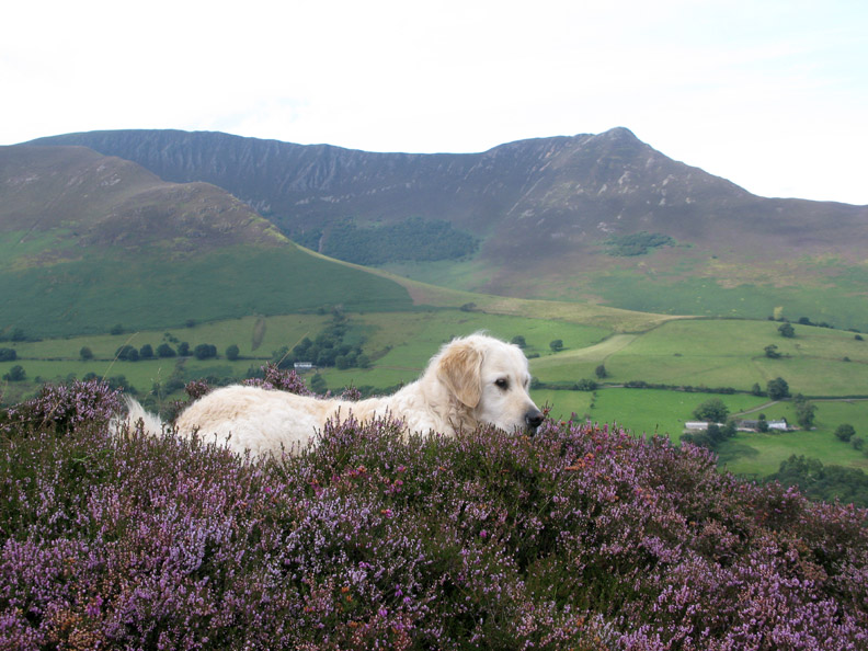
Harry is enjoying a brief sit down in the heather Give him a call and hold your cursor over the photo at the same time . . . clever or what !
The end of Scope End . . . as I pause before descending the last of the steep, heather covered slope.
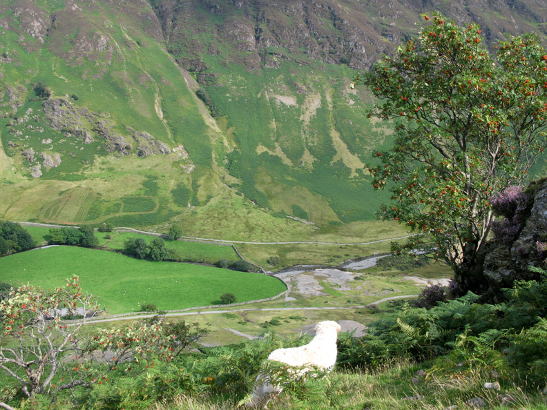
A beautiful red berried Rowan tree is growing in the shelter of the crags. Below is the footbridge we used to cross Newlands Beck soon after the start of our walk.
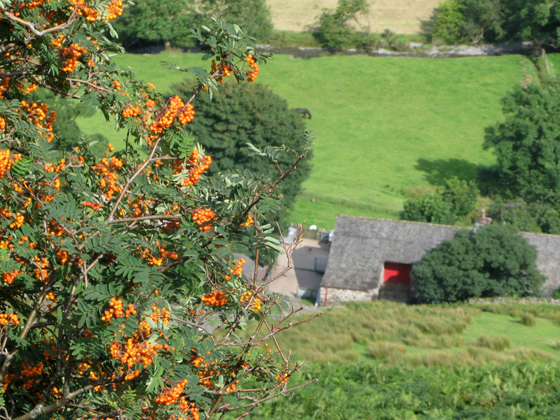
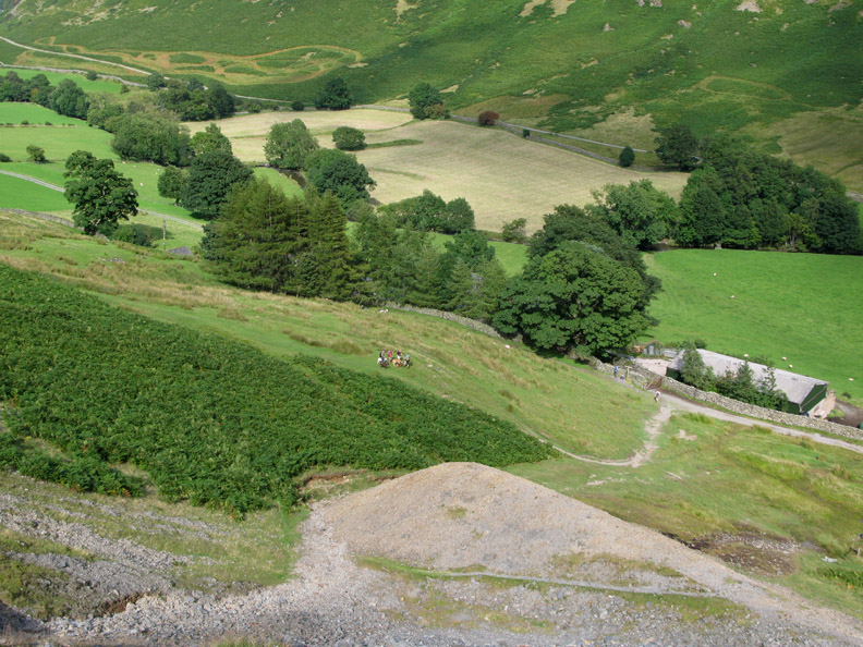
Just a little further down is another, more yellow variety of Rowan. The building is Low Snab Farm . . . looks like we've got our timing about right today.
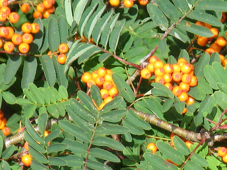
A close up of what Jill R. will tell you is a "Joseph Rock" variety of Rowan.
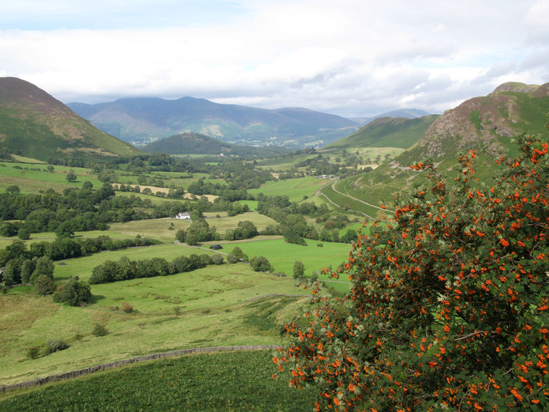
Newlands Valley, the small tree covered Swinside and cloud topped Skiddaw beyond. What a nice view in the late afternoon sunshine.
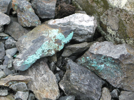
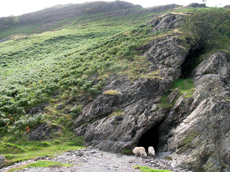
I make a slight diversion across to the main entrance of the Goldscope Mine to see in close up some of the history of the place.
The others have gathered below and await my return.
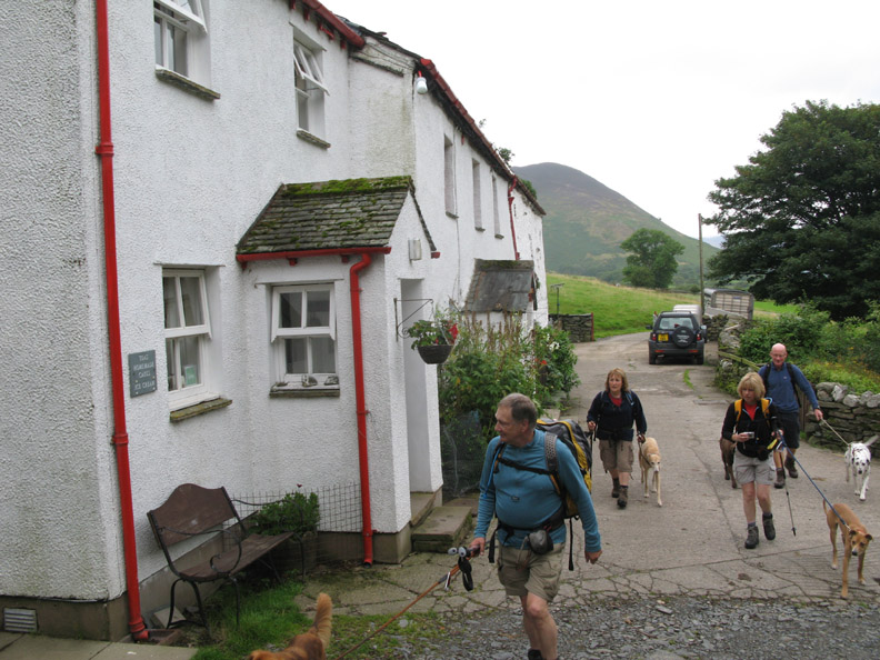
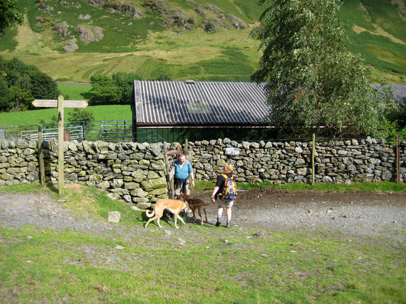
Seven dogs back on seven leads, we re-enter the farm on a permissive path through the gate that just happens to pass alongside the tearooms.
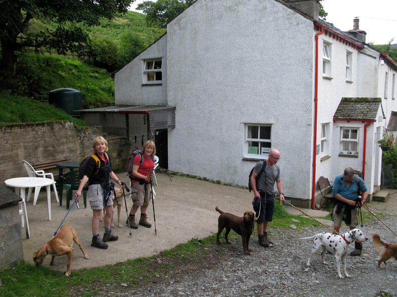
Many thanks to Val Edmunson's Mum for the tea and cake which were delightful. Free range Low Snab farm eggs make all the difference to the colour and taste of the wonderfully rich sponge cake.
Our dues duly paid for our tea, we walk back to Newlands Church.
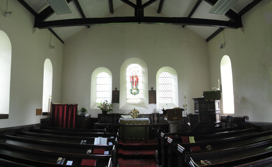
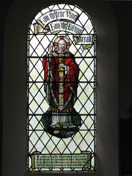
A few moments spare to pop inside and admire the Church.
"Crufts on Tour" is nearing it's end as we walk back to the car. Apologies for the lack of focus . . . I was rushing to catch up.
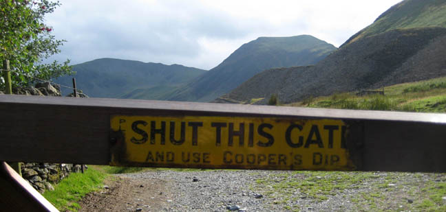
That's the end of the walk . . . so don't forget . . . to use Cooper's Dip ! - - - o o o - - - |
Technical note: Pictures taken with with Ann's Cannon 75 or my Cannon G7 Digital camera. Resized in Photoshop, and built up on a Dreamweaver web builder. This site best viewed with . . . a copy of John Adam's "Mines of the Lake District Fells" book. © RmH.2009 # Email me here # or leave me a Guest Book Entry Previous walk - Tues 11th August 2009 Beda Fell and not much further A previous time up here - 7th June 2006 Maiden Moor, High Spy and a swim including more detailed photos of the waterfalls, some of the mines and the climbing hut. For John's pictures click here Next walk - Thurs 20th August 2009 Holme Force after the rain
|