![]()

Remember: Press F11 for a full
screen view of this page.
|
|
|
Remember: Press F11 for a full
screen view of this page. |
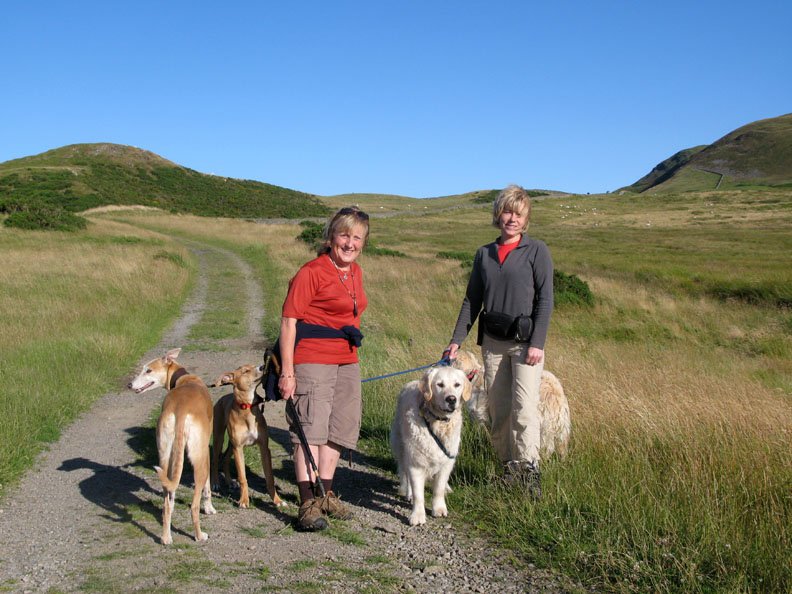
| Date & start time: Saturday 25th July 2009. 6.30 pm start for the walk. Location of Start : The moorland road near Fangs Brow, Loweswater, Cumbria, Uk ( NY 105 226 ) Places visited : The Coffin Road, The Chair, Holme Woods, Watergate Farm, Maggie's Bridge, the Village Hall and then home ( a linear walk). Walk details : 3 mls, 400 ft of ascent, 750 ft of descent. 1 hrs 40 mins. Highest point : The fell gate under Burnbank. 920 ft ( 283m ) Walked with : Jo, Ann and the dogs, Jodie, Amber, Harry and Bethan. Weather : A beautiful evening walk after a fine day. [Click on the drop down menu bar
for your choice of Google map or photo display ] |
Fangs
Brow to Loweswater
|
|
A few family photos of our breakfast barbecue, then an evening stroll once the family had left . . . the sunny evening contrasting with the stormy weather earlier in the week. Jo joined us after breakfast and stayed on for the walk.
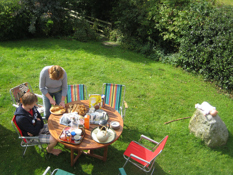
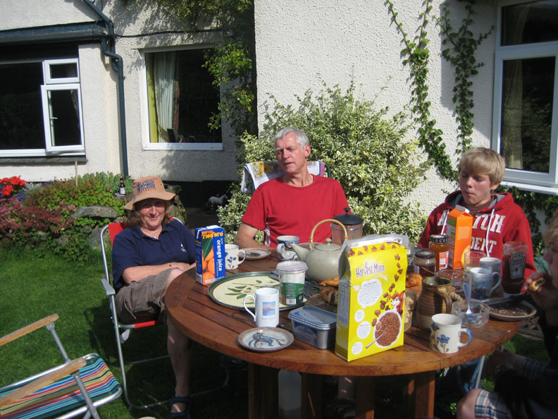
Time to lay the breakfast table . . . for eleven . . . two tables it is then. Before we are accused of child neglect, that's a doll on the rock, not one of our grandchildren !
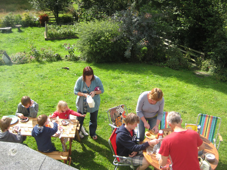
Time to sit down and enjoy breakfast in the sunshine . . . the first chance we've had all week. Cathy and Paula are in parental mode this morning too !
Richard in charge of the barbecue as everyone tucks into cereals and freshly cooked croissants. Matthew to the left, Jack behind the Coco Pops.
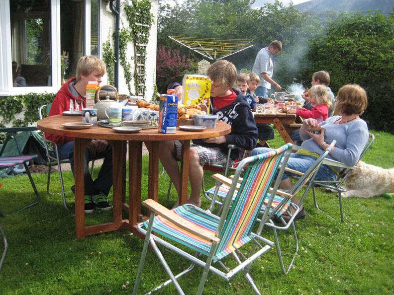
Alexander, Tom, Abi and Sam on the garden table.
Matthew and Jack with Ann and myself on the round one.
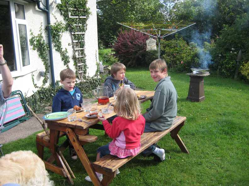
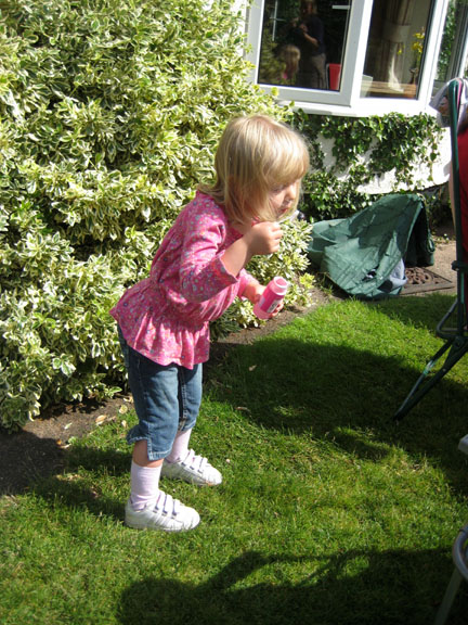
Breakfast over, Abi finds her soap bottle and bubble maker and enjoys the morning.
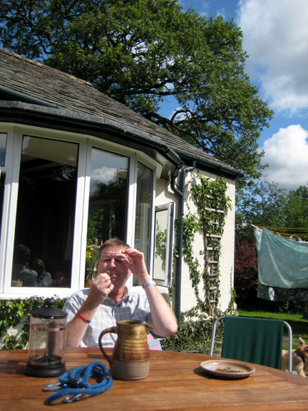
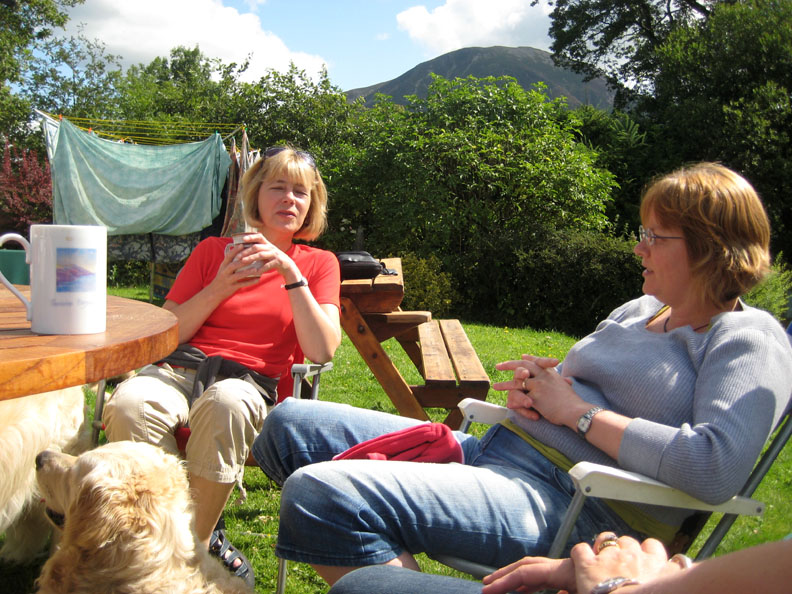
Jo joins the family for a late breakfast, coffee and chat before they all leave. - - - o o o - - - After an afternoon of intensive gardening we went out for an early evening walk to take advantage of the fine weather. Jo had never walked the old Coffin Road, so we drove the three miles to the other end of Loweswater lake and parked the car.
The track winds it's way back above the lake . . . in the direction of home.
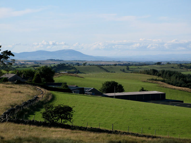
Looking north across the top of Fang's Brow Farm to the Solway and the distant peak of Criffel.
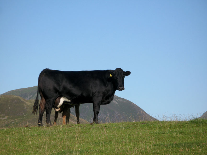
Our passing is watched by the locals . . . here mum watches and feeds.
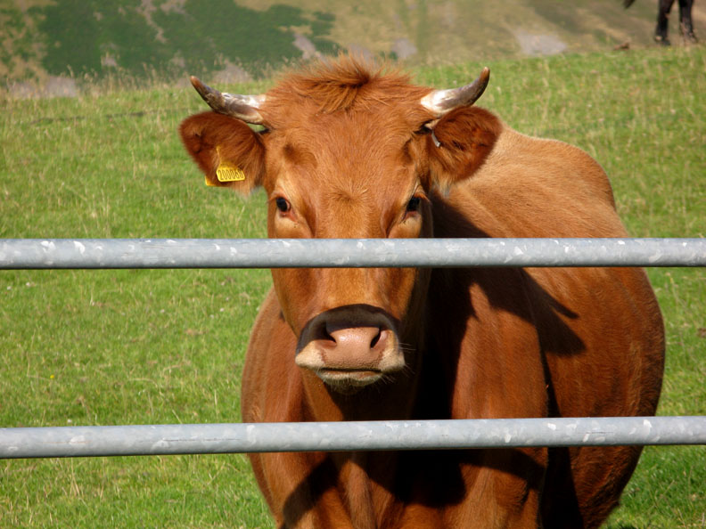
Fortunately those horns are on the other side of the gate.
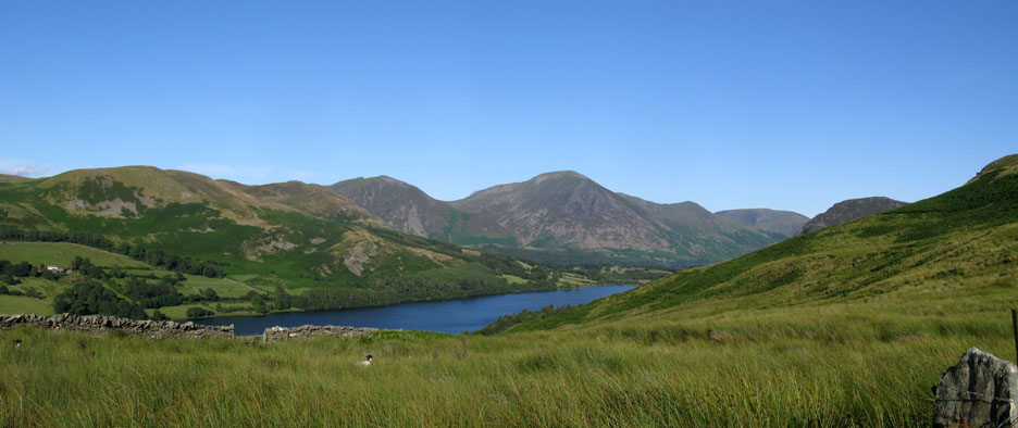
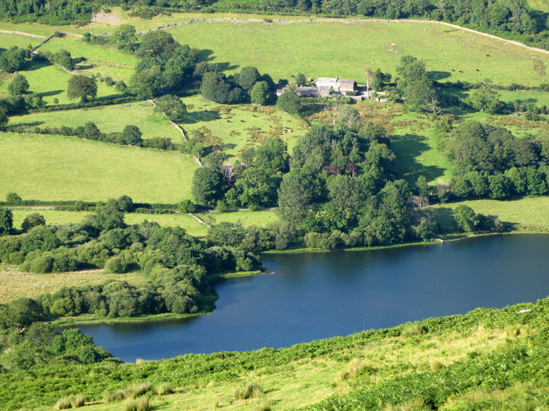
The full panorama of the lake as we reach the brow of the hill and look over the top.
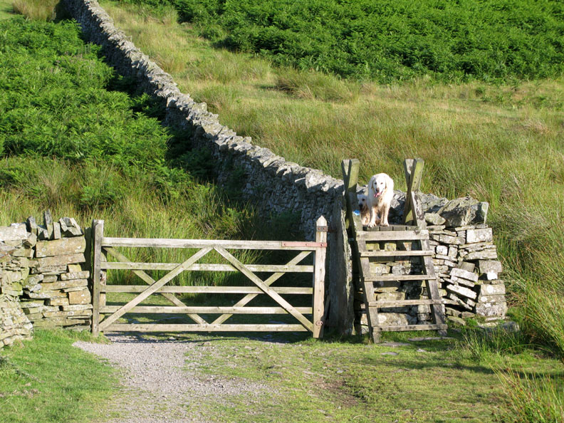
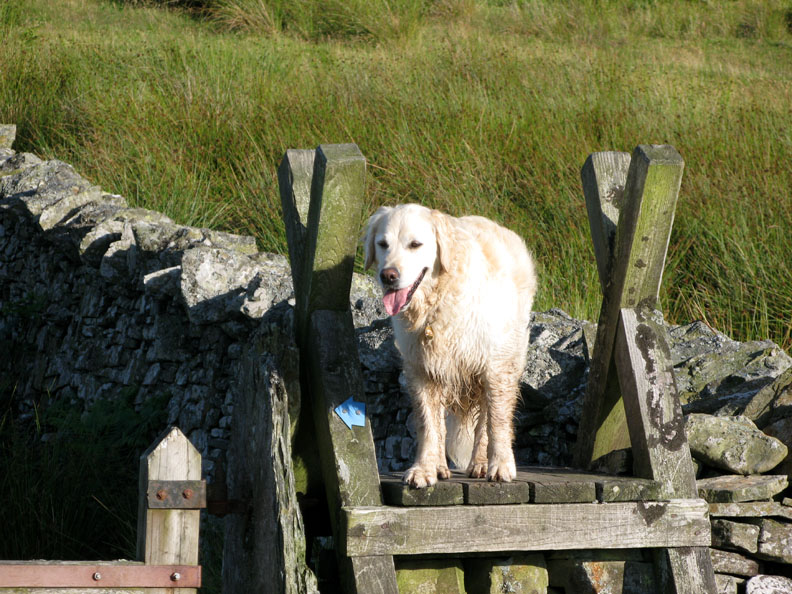
Harry and Bethan wait on the steps of the stile ahead.
The highest point of the walk . . . Bethan on the top step . . . before we start our descent.
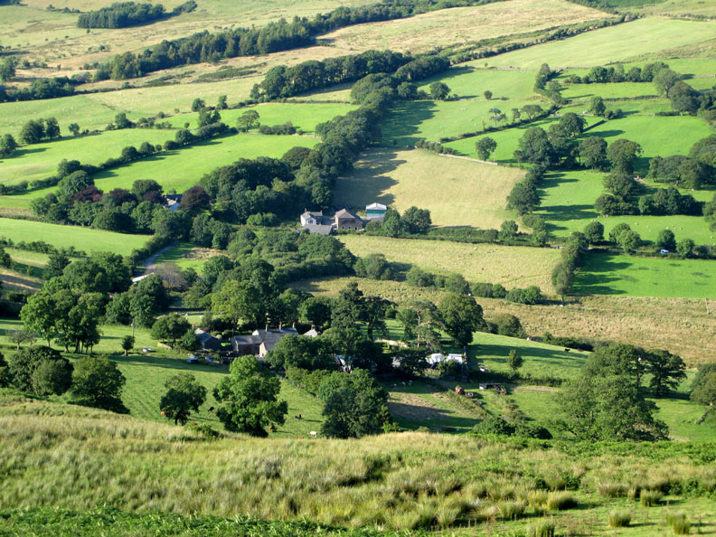
Looking down on the rural scene at the western end of the lake.
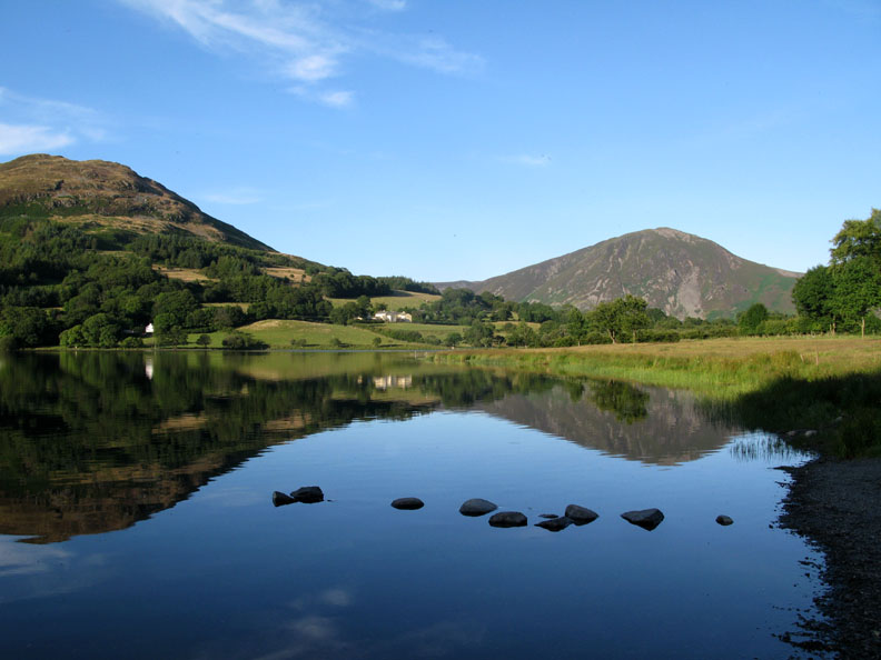
Blue water reflecting the blue of the sky above.
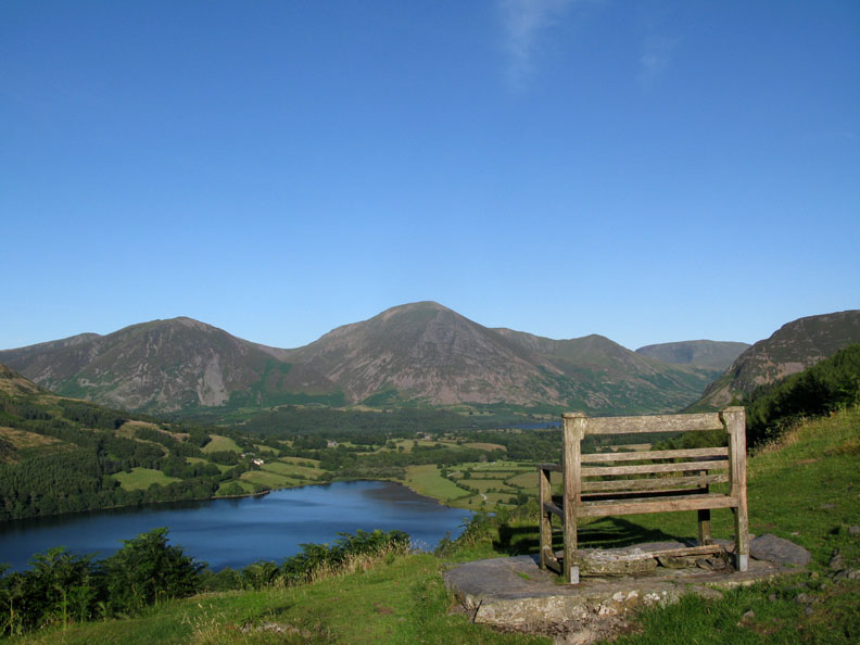
The memorial seat overlooking the lake . . . what a great place to stop and look.
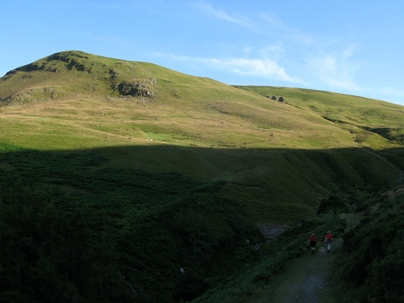
The bold shadow of Burnbank shades the track as we continue on towards Carling Knott.
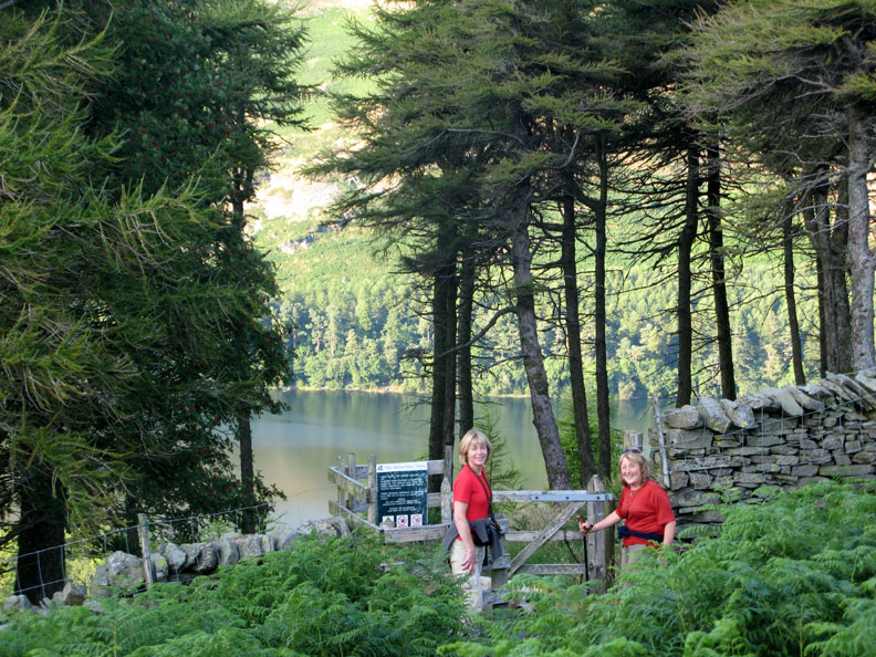
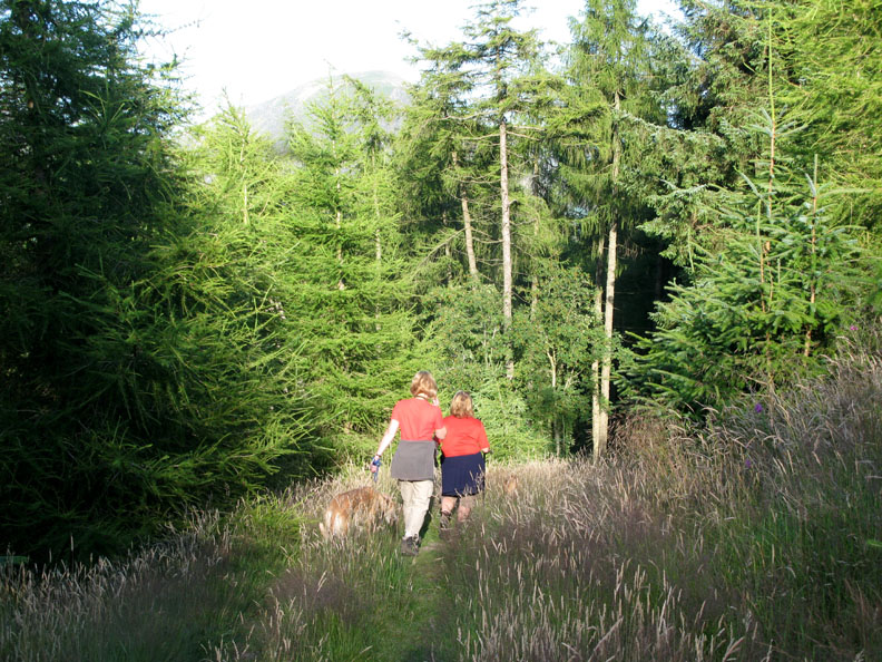
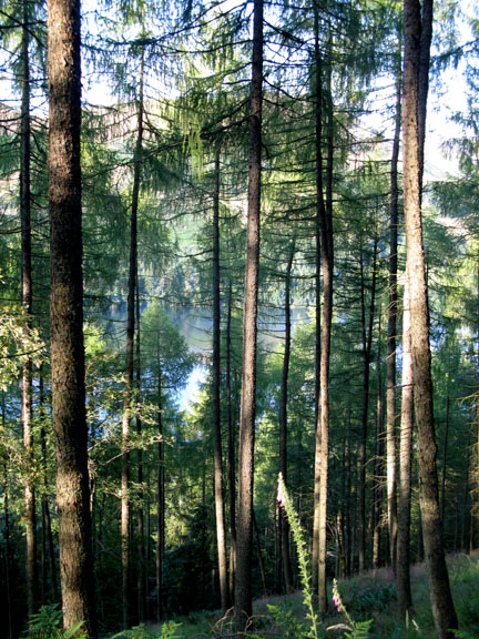
We're not walking the track all the way . . . it's time to cut down through the trees to the lake.
When we first walked her, less than ten years ago it was all open and we could sit down on the cut logs and enjoy a view of the lake. Don't these conifers grow quickly !
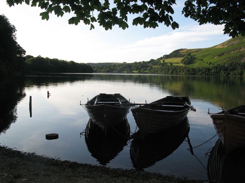
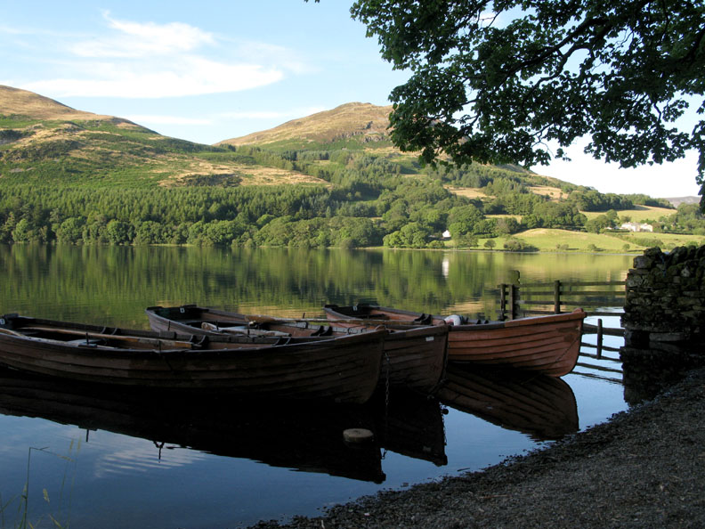
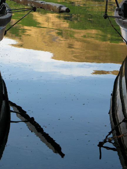
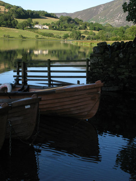
Still waters at the boat moorings . . .
. . . give us beautiful reflections.
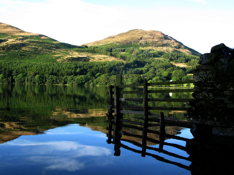
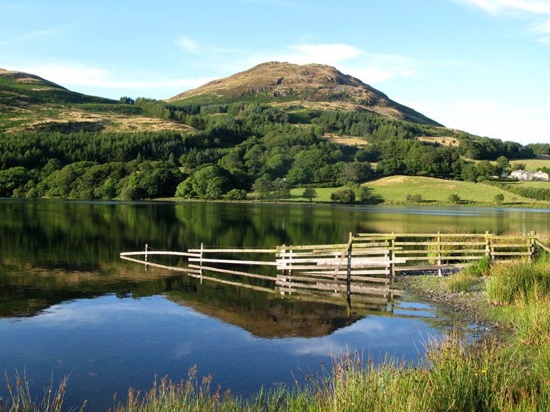
Low Fell beyond the fence.
Low Fell and distant Whiteside across the still waters . . . what a lovely evening for a walk.
One last shot of Thrushbank and Crab Tree Beck valley on the other side of the lake.
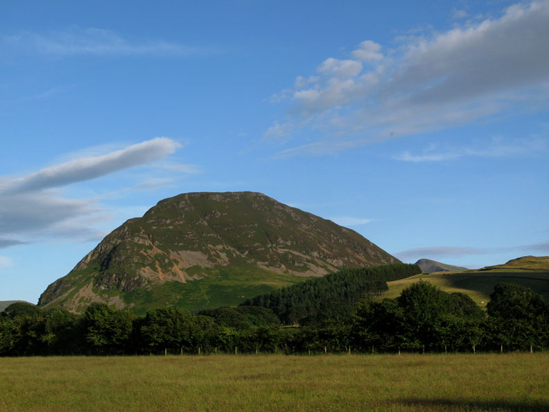
Looking around, Mellbreak catches the evening sun, the diminutive Red Pike to the right where we walked yesterday.
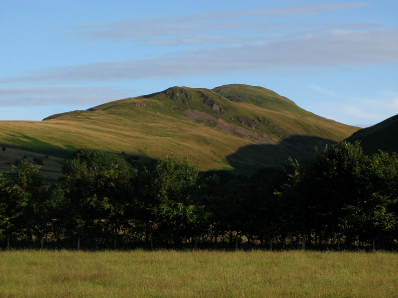
A more unusual view of Hen Comb with Little Dodd crags taking centre stage for a change.
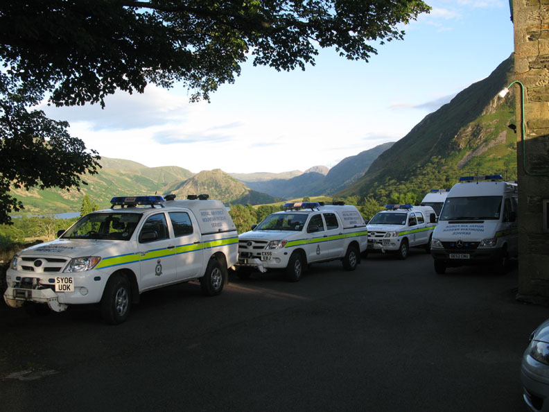
Passing the village Hall, the RAF Mountain Rescue are out in force, but it's a practice weekend rather than a call out. They have hired the hall as a meeting place and for overnight accommodation.
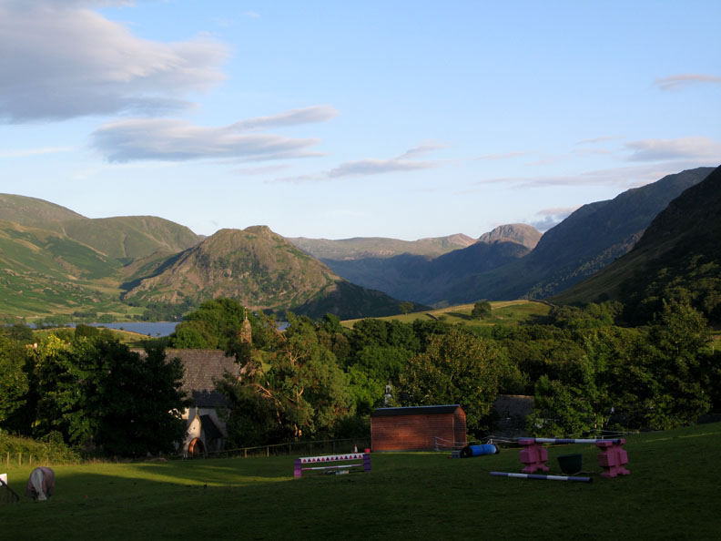
Looking down over the Church and the Kirkstile field, the clarity means we can see every feature on the distant high fells.
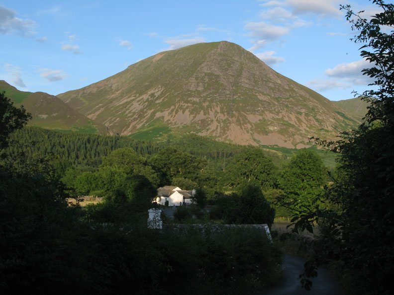
Grasmoor seems to tower over the cottage as we walk the last few yards to home. All that remains now is to fetch the car. - - - o o o - - - |
Technical note: Pictures taken with with Ann's Cannon 75 or my Cannon G7 Digital camera. Resized in Photoshop, and built up on a Dreamweaver web builder. This site best viewed with . . . two good dog leads to keep the calm lake reflections going as long as possible ! © RmH.2009 # Email me here # or leave me a Guest Book Entry Previous walk - Thursday 23rd July 2009 Scale Force and Red Pike A previous time up here - 16th February 2002 A Loweswater walk ( Check out the lack of trees in the village ) Next walk - Wednesday 30th July 2009 Roughton Gill and High Pike
|