![]()

Remember: Press F11 for a full
screen view of this page.
|
|
|
Remember: Press F11 for a full
screen view of this page. |
| Date & start time: Sunday 14th June 2009. 11.15 am start. Location of Start : Stoneycroft roadside parking near Braithwaite, Cumbria, Uk. ( NY 233 217 ) Places visited : Rowling End, Causey Pike, Scar Crags, High Moss and Stoneycroft Gill. Walk details : 5.5 mls, 2050 ft, 5 hrs 20 mins. Highest point : Scar Crags 2205 ft ( 672 m ) Walked with : Jo, John, Ann and the dogs, Jodie, Amber, Polly, Harry and Bethan. Weather : Sunny and very warm, but eased by a cool breeze on the ridges. [Click on the drop down menu bar
for your choice of Goggle map or photo display ] |
Causey Pike from Stoneygill at EveryTrail |
|
Another sunny Sunday and a medium size walk required today. The feature of this one would be the heat and the lack of water along the way, so an extra water bottle in a pocket makes the pack just a little heavier than normal.
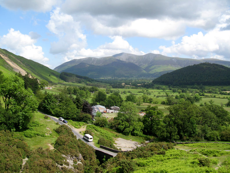
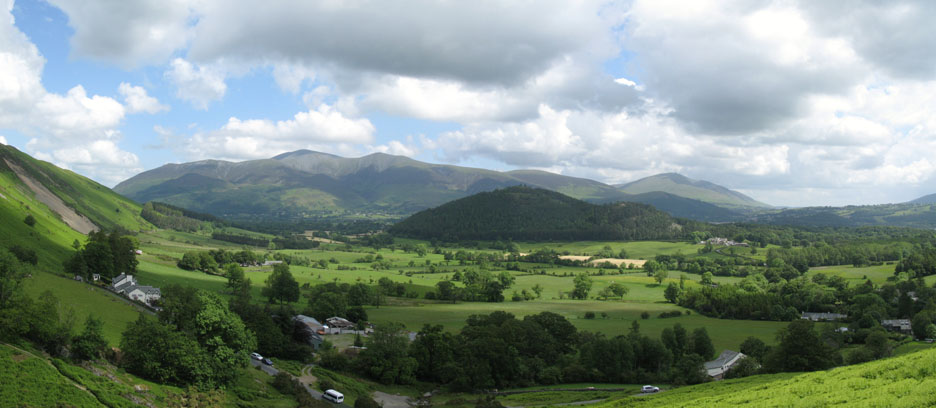
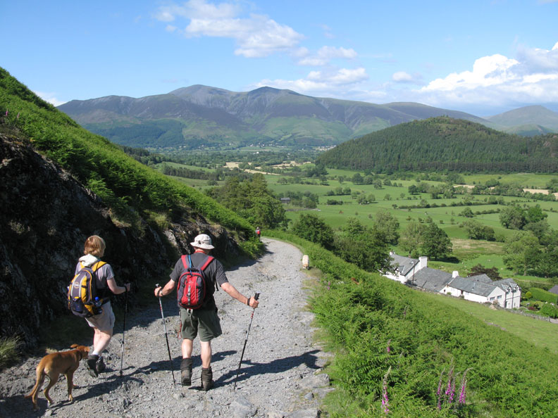
The start was along the road from Stoneycroft Farm seen below. (The red cars in the car park can just be seen in the distance.) Our route would initially take us up Rowling End on the direct path to Causey Pike.
As we climb we can look back at the ever expanding view of the Skiddaw and Blencathra Fells.
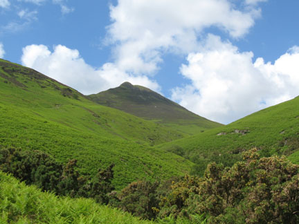
The lone Mountain Ash tree as we more or less reach the top of the steep climb. The visibility today is superb, the sunshine great, but the heat on the steep climb has been telling.
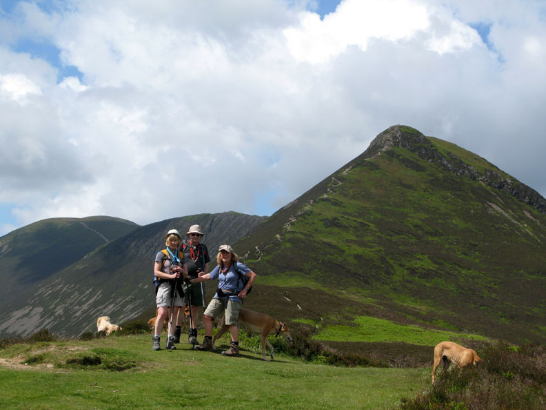
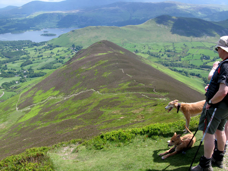
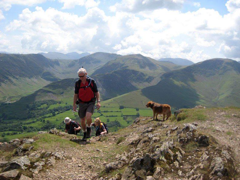
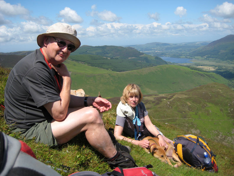
Jo, John and Ann pause for a photo opportunity before the ridge walk and then the main climb to the summit.
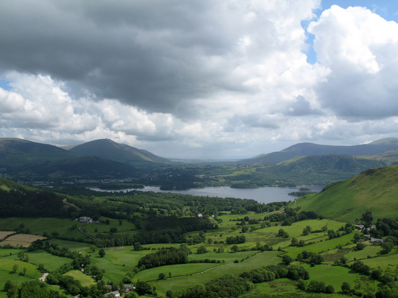
Looking round . . . Derwent Water and Keswick and the A66 road gap towards Penrith.
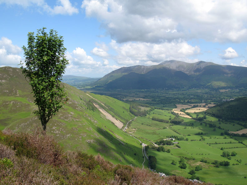
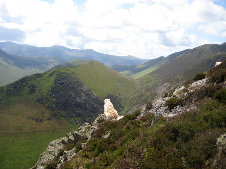
To our right, the Newlands Valley with Maiden Moor, High Spy, Dale Head and Hindscarth fells. Bowfell, Esk Pike and Great End complete the view into the far distance.
The pyramid summit of Catstycam is directly over the top of Catbells. Between them lie Bleaberry and High Seat, and of course the whole of the Helvellyn ridge.
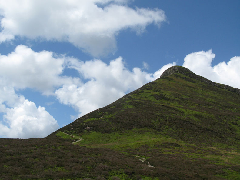
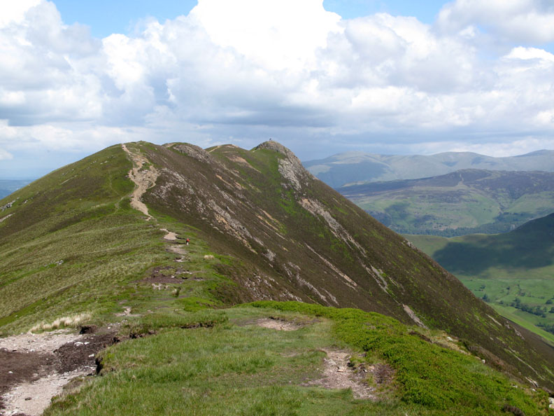
The classic face of Causey Pike [ where the square of the hypotenuse equals the sum of the squares on the other two sides.]
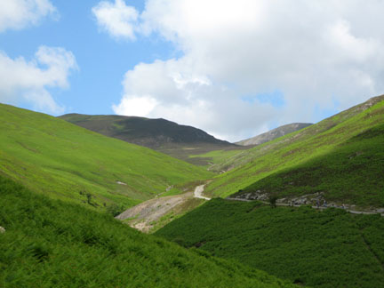
John looks down on our path, and the alternative that has climbed diagonally up from Stoneygill Bridge.
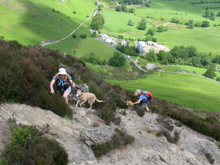
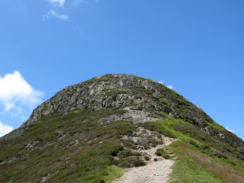
Triangles change to domes as we near the final rocky scramble to the top.
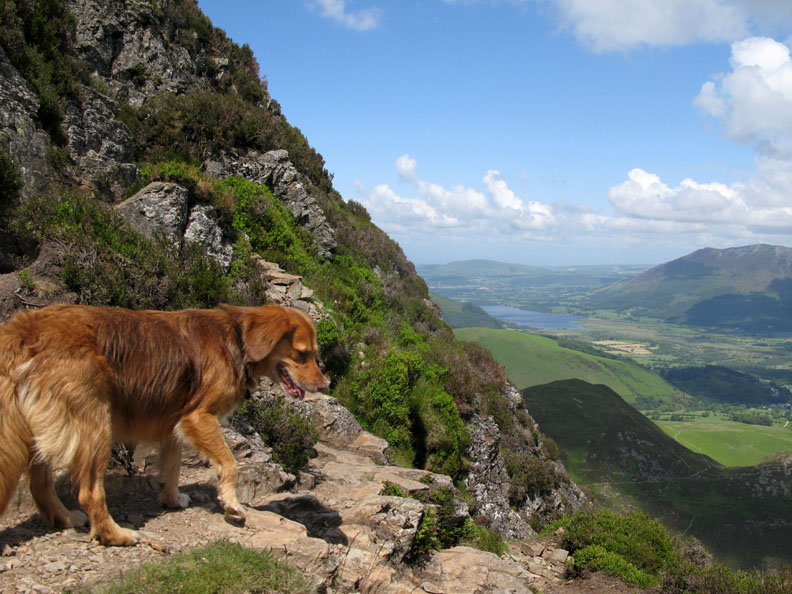
Harry and Bethan take time out on the windward side of the fell in order to cool down in the breeze.
Sun hats and dark glasses are de-rigueur for the day. I seem to be talking to Jodie and Amber at this point.
Polly takes the high ground . . . half way up the scramble to the top.
The climb completed . . . and the visibility is superb.
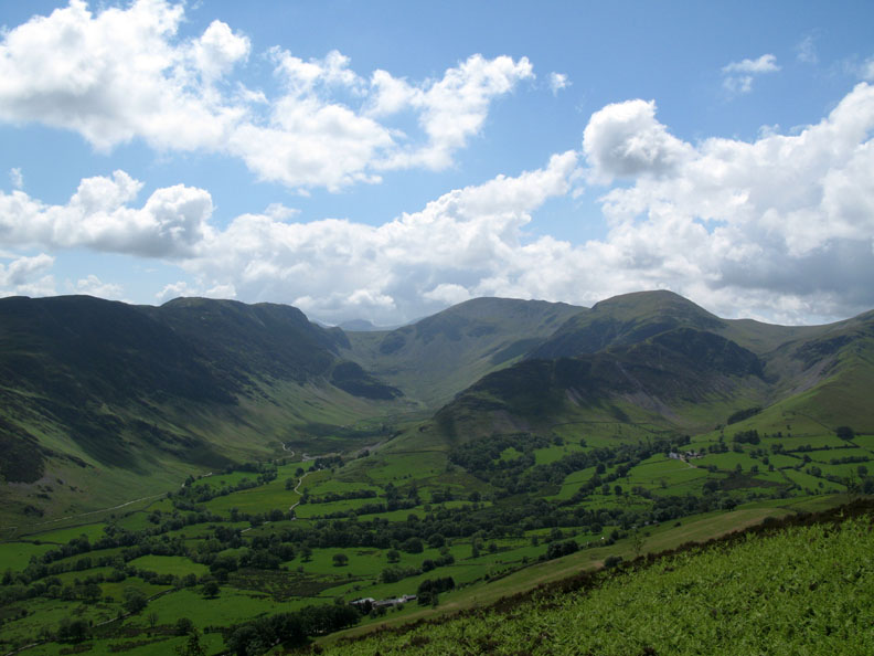
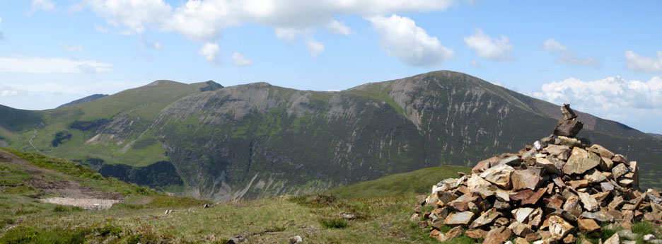
The Whiteside Ridge, Sand Hill, Hopegill Head and the Hobcarton Ridge towards Grisedale Pike as seen from Causey Pike's summit cairn.
Great value from Loweswatercam . . . Click here or on the photo above for a 380 degree annotated panorama.
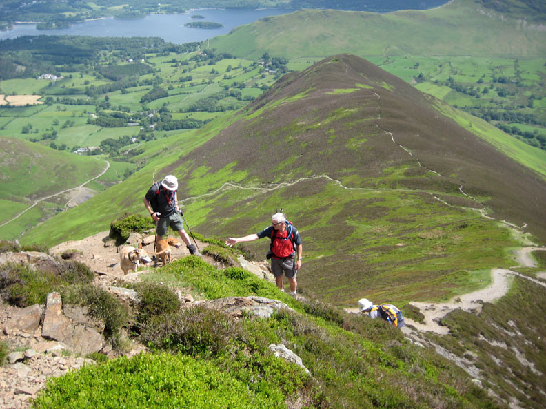
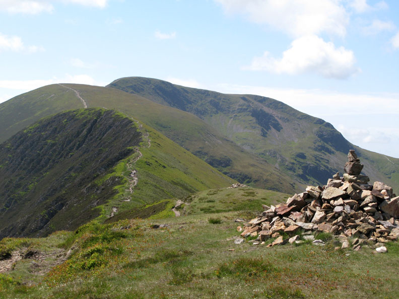
Our route ahead will take us over the next section of the fell top, Scar Crags.
But before that we'll stop to enjoy some lunch and give the dogs another drink of water.
Both completed, we continue on our way. This is looking back at the classic undulations that make up Causey Pike's summit ridge.
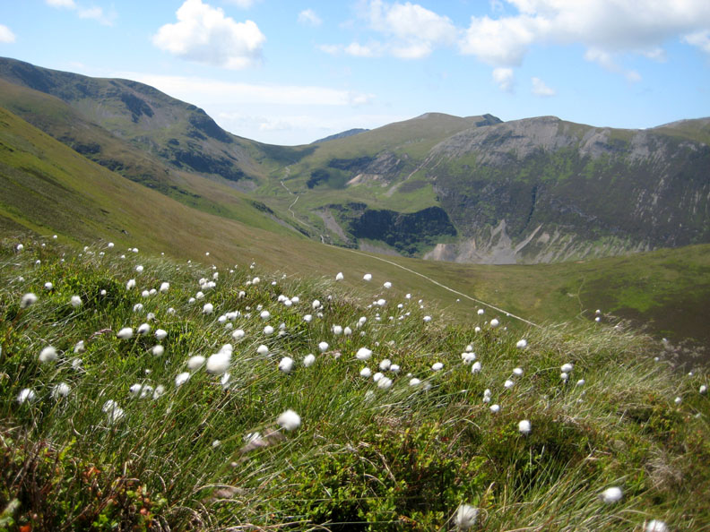
Cotton Grass in with the moorland vegetation. An optical illusion makes it look as if the Miner's Track extends on to Coledale Hause, but in fact it turns left and continues climbing.
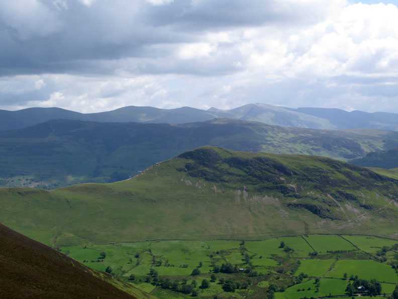
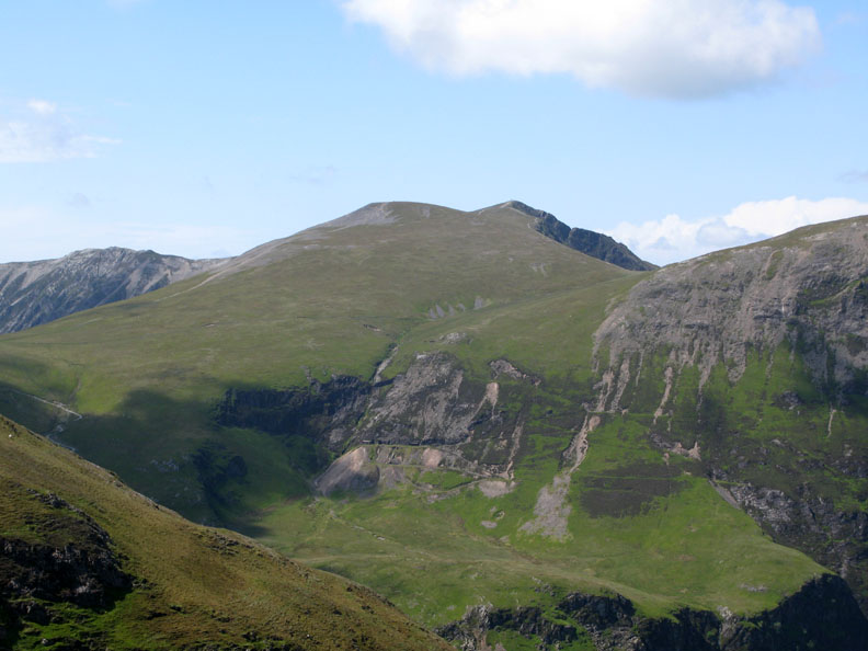
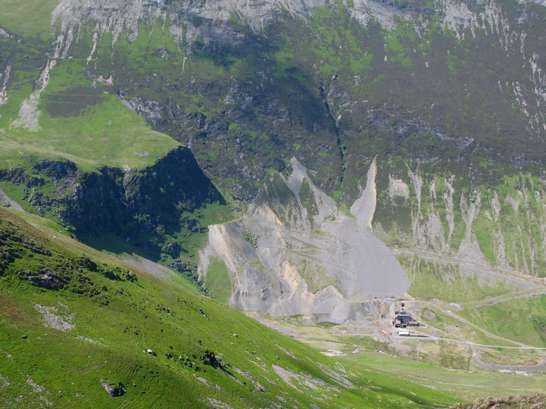
Across the way, the green summit of Sand Hill and the pointed one of Hopegill Head. Below it, the horizontal tracks and spoil heaps of the upper Coledale Mine workings.
Below the steep crags, the mine buildings and the track ways of the lower section of the mine.
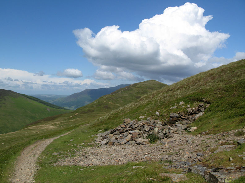
We've just crossed Scar Crags and are now looking across at the climb up towards Sail Fell. With this volume of erosion maybe the name would be more suitably applied to the next section of the path.
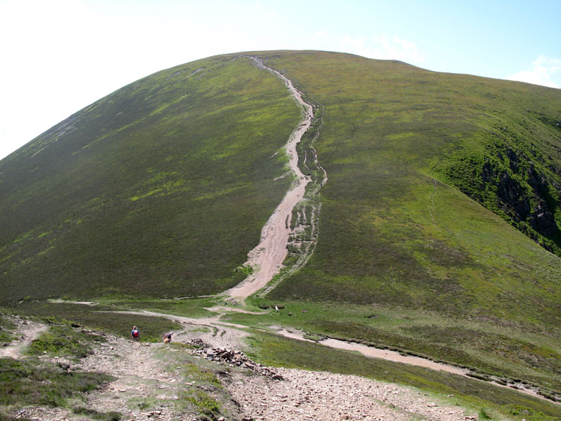
At the hause we turn right and start our descent back to Stoneygill. We've found the top of the Miner's Track and we will follow it back down for nearly two and a half miles until we reach the car.
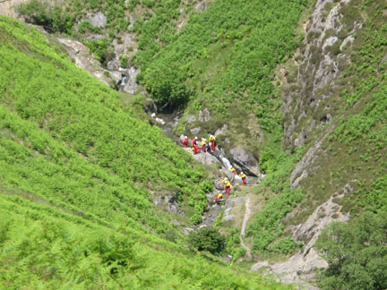
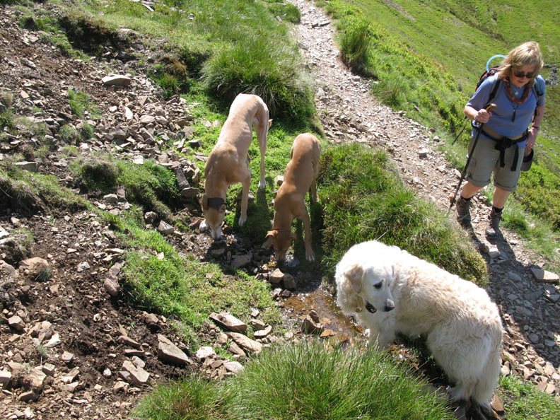
This small spring alongside the path is the first running water the dogs have seen since we started the climb. The extra water bottles we took in order to give them a drink proved very useful on the dry ridge walk.
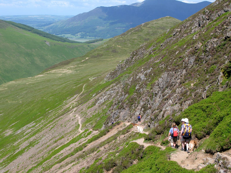
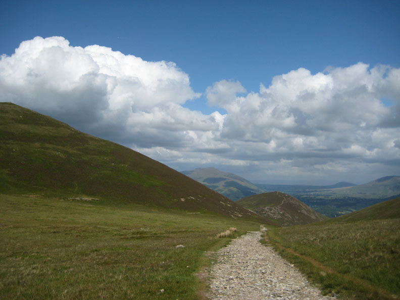
Blue skies and white fluffy clouds as we round the bend towards Outerside.
Onward and downward . . . on this hot day.
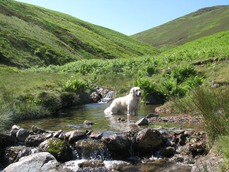
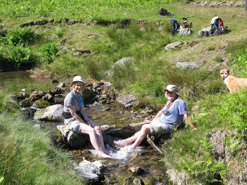
Welcome relief now as Harry find a pool large enough to sit in properly. " Anyone joining me ? "
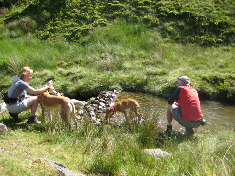
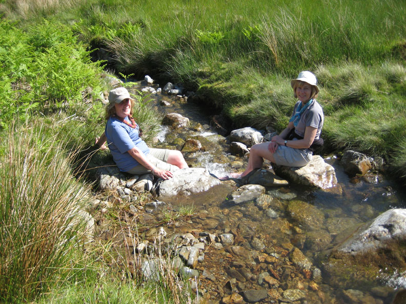
Jo tries for a photo as I try and persuade Jodie and Amber to cool their toes.
These two didn't take much persuading today.
Is that the girls splashing the water . . . or is it boiling as it touches their feet ?
Time for us to return home . . . and DRY . . . having not ventured that deeply into the Gill. Just a little re-hydration therapy of a different kind . . . at the Coledale Inn I think ! - - - o o o - - - |
||||||||||||||||||
Technical note: Pictures taken with with Ann's Cannon 75 or my G7 Digital camera. Resized in Photoshop, and built up on a Dreamweaver web builder. This site best viewed with . . . a cool mountain pool in which to to dip the toes. [ May I dedicate today's page to the late Charles Miller, a Loweswatercam viewer who loved these fells ] © RmH.2009 # Email me here # or leave me a Guest Book Entry A previous time up here - 22nd November 2005 Up and Away - Temperature inversion on Causey Pike Previous walk - Saturday 13th June 2009 Gavel Fell and Floutern Next walk - Thursday 18th June 2009 Barf and Lords Seat
|