![]()

Remember: Press F11 for a full
screen view of this page.
|
|
|
Remember: Press F11 for a full
screen view of this page. |
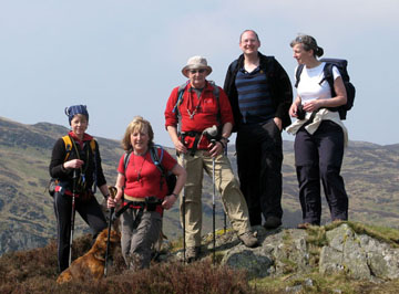
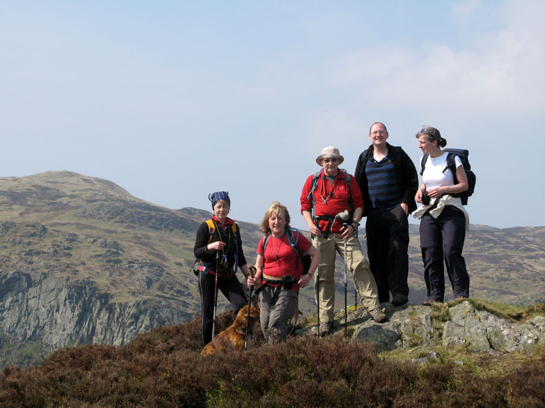
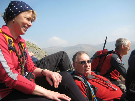
| Date & start time: Thursday 16th April 2009. 11.30 am start. Location of Start : Roadside at Thirlmere Dam, Cumbria, Uk ( NY 307 191 ) Places visited : Benn Man, Raven Crag, the Shoulthwaite Valley, High Seat, Bleaberry Fell, down to the side of Iron Crags and back into the lower Shoulthwaite Valley. Walk details : 7.5 ml, 2200 ft of ascent, 6 hours 10 mins. Highest point : High Seat 1,995ft, ( 608m) Walked with : Sarah, Ian, Jo, Jophn Ann and the dogs, Polly, Harry and Bethan. Weather : Hot and sunny with a breeze on the open fells. Very hazy. Jo, Ann, John, Ian and Sarah on Benn Man summit |
|
|
The sunny weather continues giving all the visitors a beautiful Easter walking weather. Us regulars (as we could be described) needed a walk today that was within shouting distance of John's house for reasons that will become obvious. Raven Crag seemed like a good bet and we could extend it onto the higher fells as required.
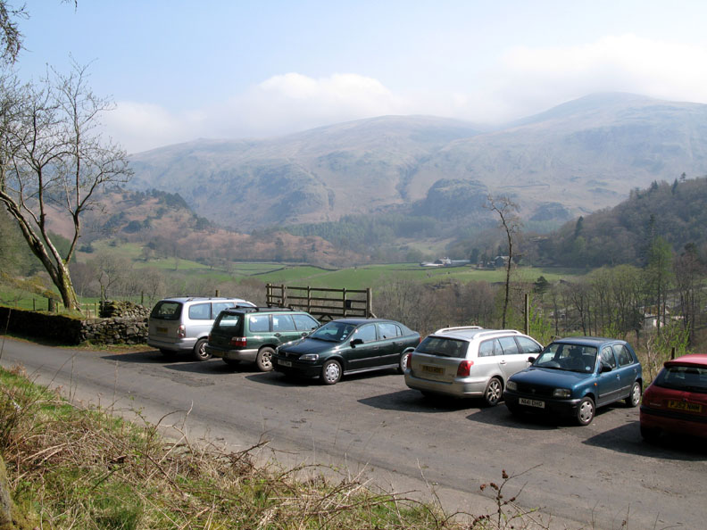
The walk started from the short section of parking on the Thirlmere Lake road, about one hundred yards or so down from the dam.
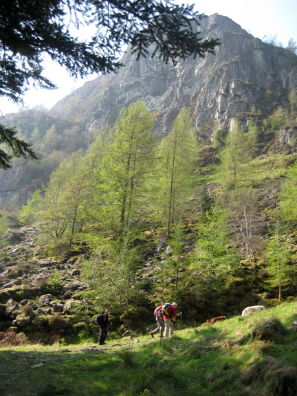
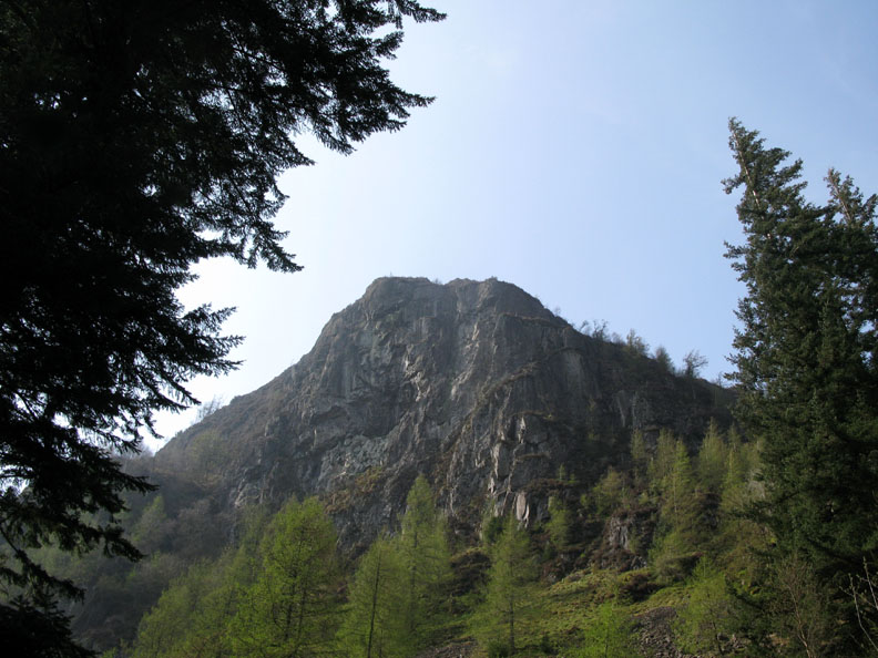
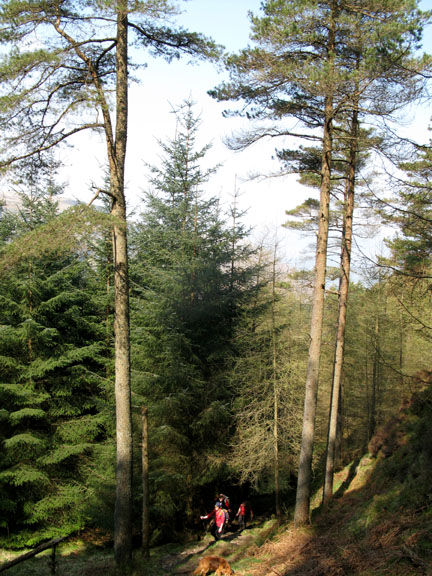
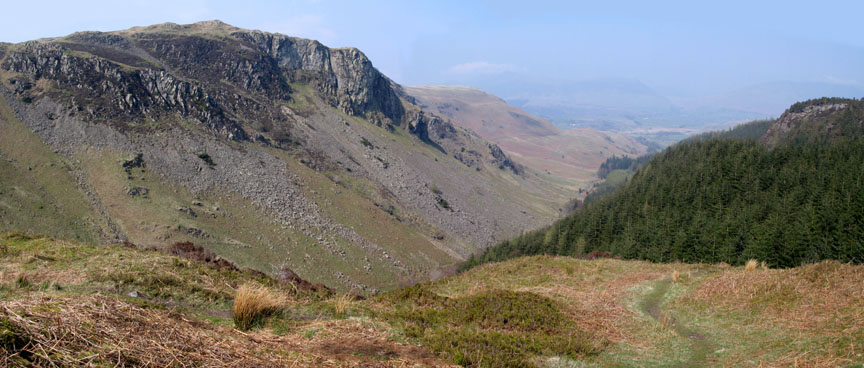
Classic Lakes rock climbing crags, the major routes on these cliffs were pioneered by Don Whillans and friends . . . dare we say it . . . in the last century !
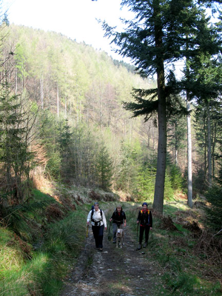
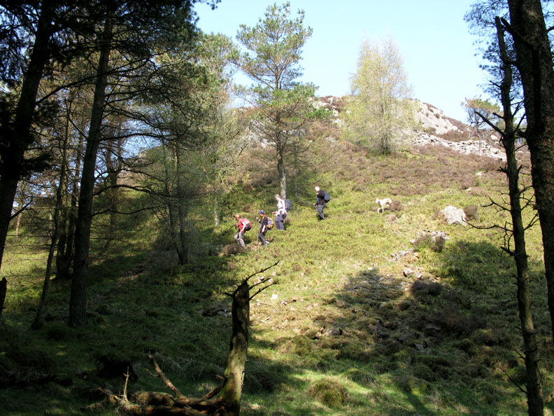
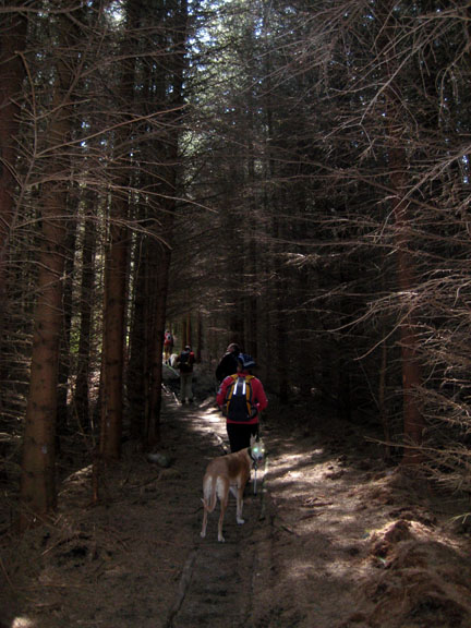
Without the expertise and equipment we opted for the easier route up through the forestry, taking this faint path to the left at the top of the rise.
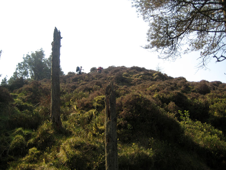
This led up through the woodland and out onto a steep, heather covered rise known as Benn Man.
Raven Crag as never seen before (by us). This was delightful new territory that John was leading us through.
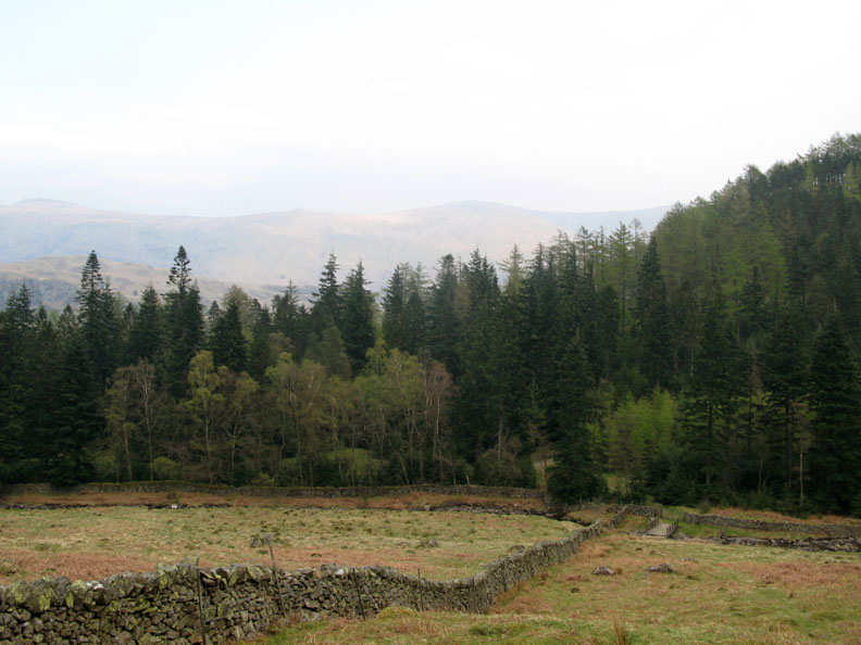
Turning round, a more surprising view. Despite the haze, there were Skiddaw, Blencathra and Clough Head over the forestry. On a clear day we would have made out the Castlerigg Stone Circle and the Northern Fells behind.
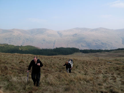
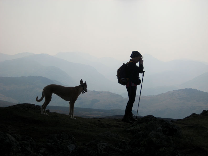
Meet the gang . . . Jo, Ann, John, Ian and Sarah . . . on Benn Man summit Ian was up for Easter from Bedfordshire and Sarah had joined us for the day again.
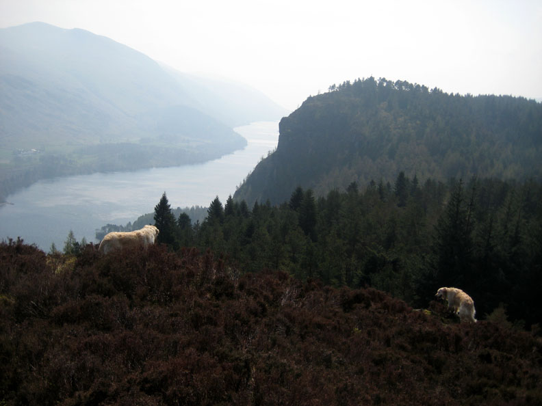
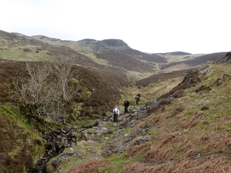
The talk was of extending the route later to include Bleaberry Fell, seen here across the Shoulthwaite Valley.
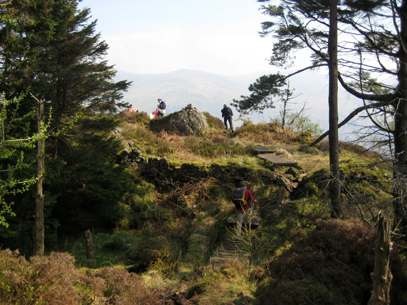
Down from the 'Man' and back into the woods.
A final section of board-walk and the edge of the crags are at hand.
Great How is the wooded hill below us as we reach the edge.
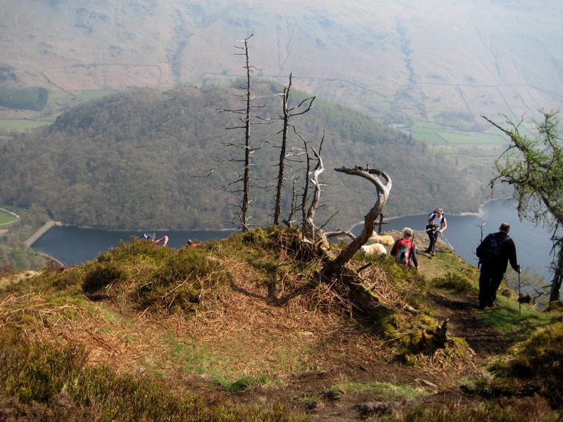
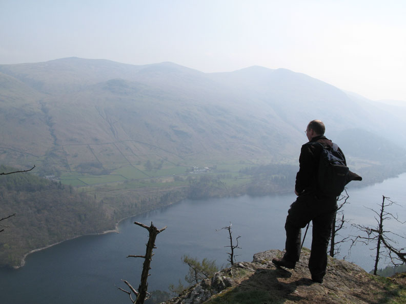
Ian taking in the classic views across to Thirlspot and Helvellyn and along the length of Thirlmere Reservoir.
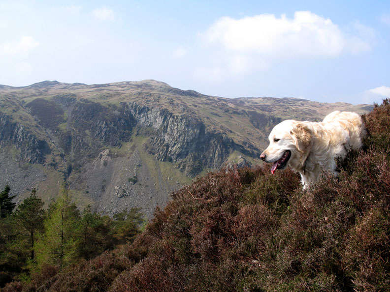
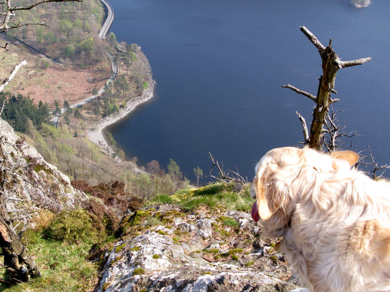
Bethan takes a more direct approach, looking straight down to the lakeshore road, some eight hundred feet below.
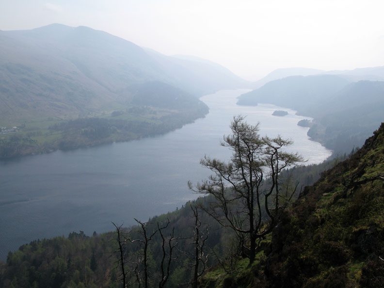
The old and weather beaten pine trees with the southern view along Thirlmere.
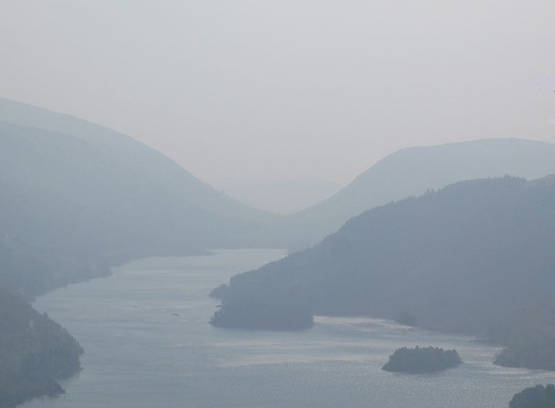
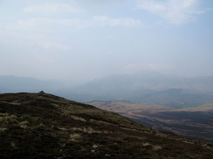
The haze can produce interesting images despite the lack of long distance visibility.
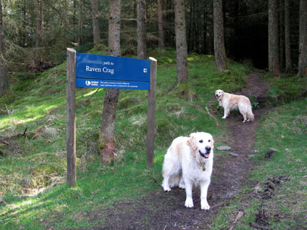
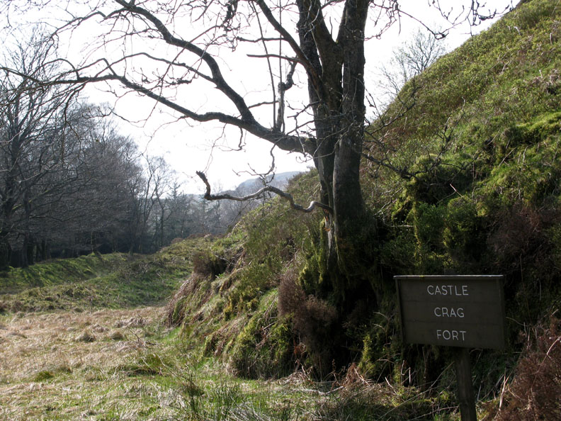
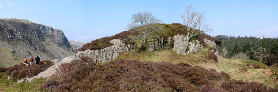
Can't sleep all day, so we retrace our steps, back to the forest road. Here we follow a small footpath sign into the trees opposite. This led us to Castle Crag, Thirlmere not Borrowdale style.
Obvious signs of earthworks surround this small but significant outcrop in the forest.
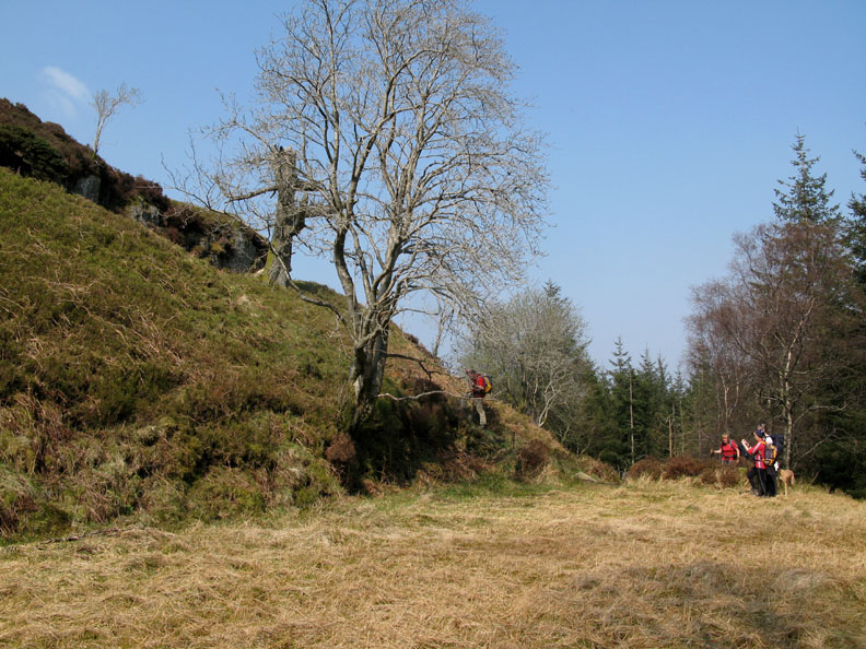
The protective cliffs and an elevated position overlooking the valley must have made this a safe stockade and living area for the ancient Britons. [ Benn Man can just be seen in the background to the right ]
From the flattish top there were views across to Iron Crag and down to the distant Threlkeld.
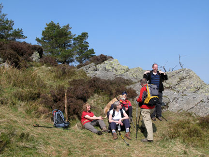
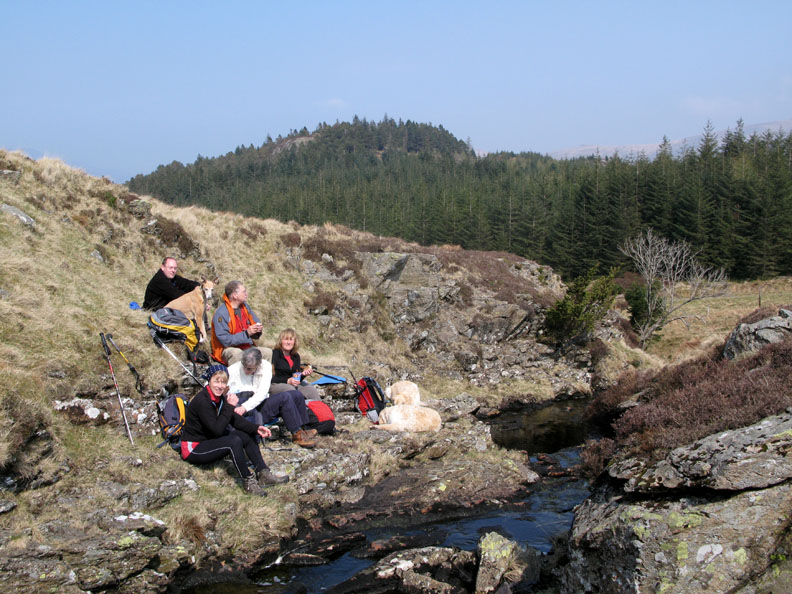
Jo is looking worried . . . I think she's lost Ann somewhere. Anybody would think Ann was carrying the lunch !
This is turning into a slightly easier fellwalking than normal, all this talk of gentle strolls through the forest, relaxation in the sunshine . . . and now it's time for lunch. After a short committee discussion, a sheltered spot was decided upon, out of the breeze and next to the infant Shoulthwaite Gill.
John had arranged a 'domestic appliance engineer' to call at his house to fit a replacement machine. Timings were uncertain but after a quick phone call he walked quickly away like a man on a mission. Presumably the guy would call today after all. Our next target, however, was High Seat.
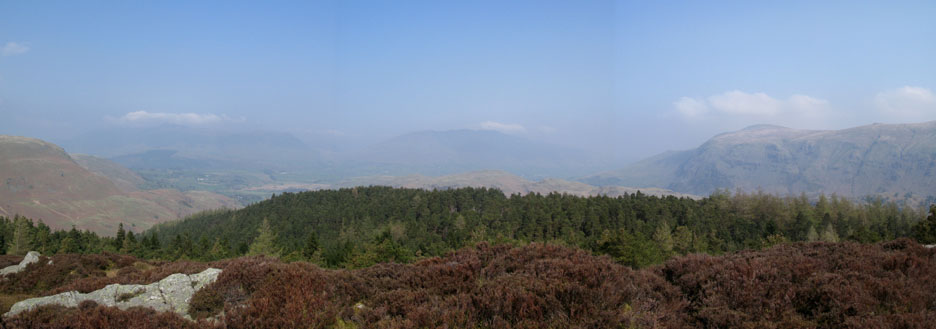
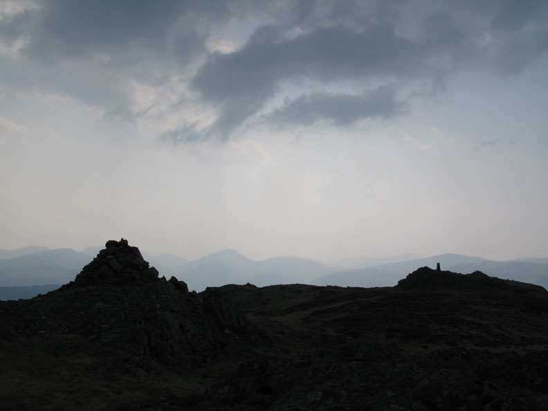
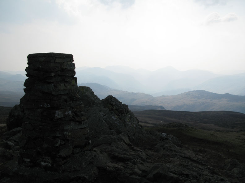
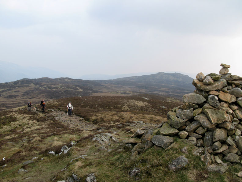
A slightly zig-zag route up the open fell avoided most of the damp ground and we reached the top exactly on the cairn. Across the way was the trig point and beyond it, the silhouette of the Western and Southern fells.
A short hop but no change of height and we were at the trig point. From here we played "Guess the Fells" as all the detail of the mountains were lost in the haze.
Jo, caught in profile, takes a photo while Jodie waits patiently.
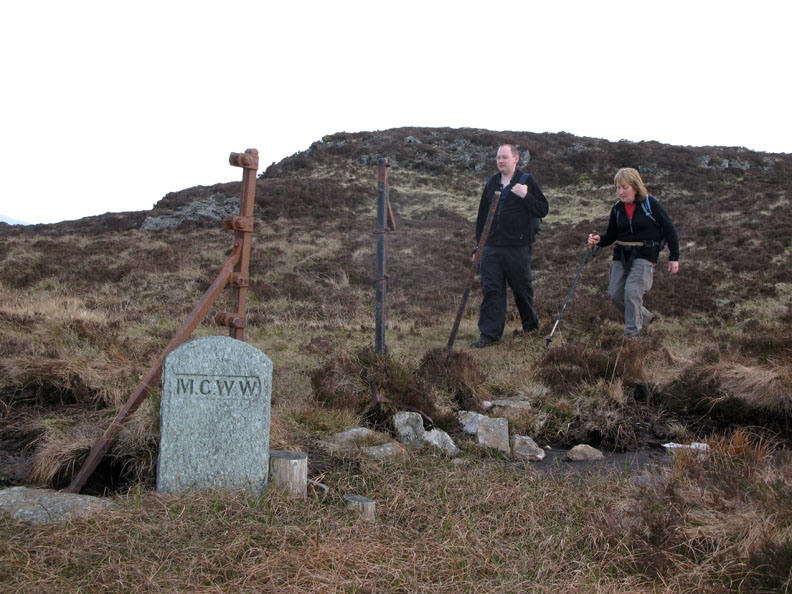
From High Seat we turned north and made our way along the ridge towards Bleaberry Fell. The path, occasionally indistinct, more or less follows the fence which forms the boundary of the M.C.W.W. land. [ Searching for the abbreviation ? Think Thirlmere reservoir . . . think Manchester Corporation Water Works ]
Despite one or two slightly damp excursions we made it safely to Bleaberry summit cairn . . . This must be the boggiest ridge in the Lakes. Colleagues of mine walked the opposite direction towards High Tove a day or so later, and sunk into the peat bog up to his waist, in the area known as the Pewits. Fortunately he sunk no further and was able to extract himself with the aid of his partner and they continued their walk, albeit rather more muddy than before.
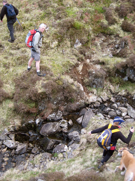
We needed to get back now so we cut down the fell side, initially towards Dead Crags, but then we followed a small stream more directly downhill.
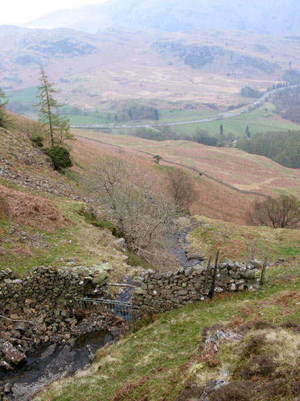
The descent into Shoulthwaite Valley is quite steep by this route . . .
. . . but it leads us directly down to the bridge and the forest track beyond.
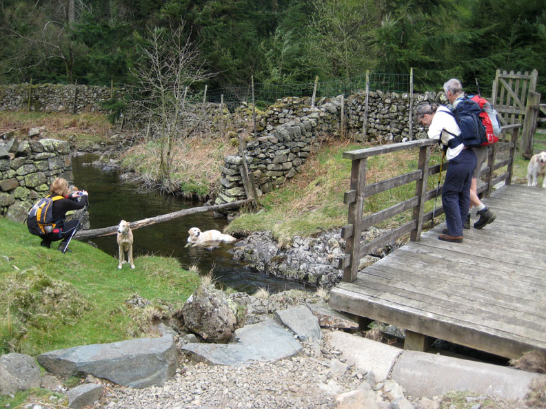
The dog's turn to relax now in the cool water.
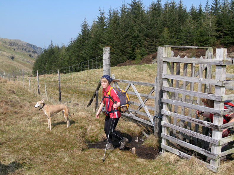
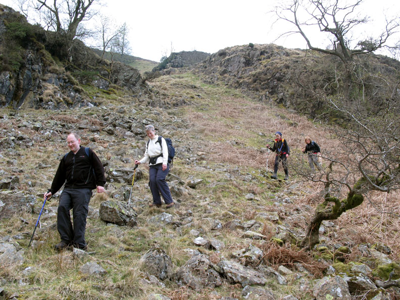
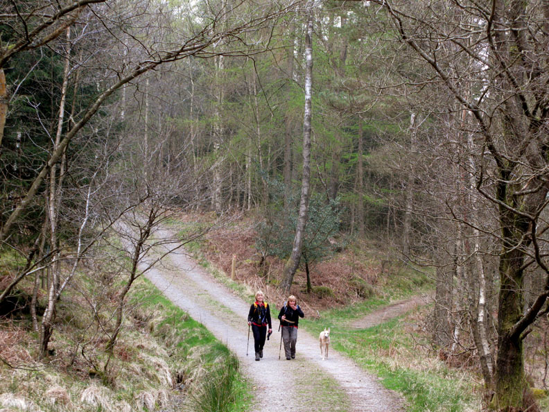
The track to Shoulthwaite Farm joins the main forest track we were following and we continue on round the hillside to get back to the start.
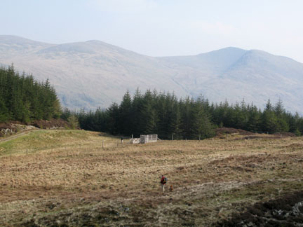
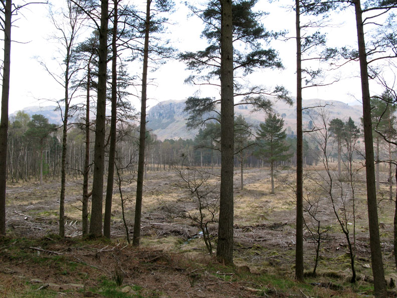
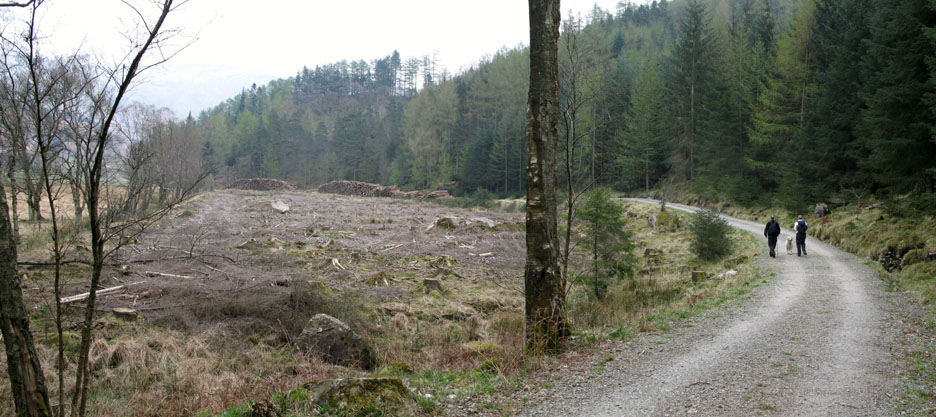
John said they had cleared this land specifically to encourage the re-generation of the old marshland. It will encourage the fauna and flora that had grown there, before the trees were planted, to return and thrive once more.
The gradual curve around the cleared land with the all the commercial timber stacked at the far end. Despite being no more than a quarter of a mile from the busy A591, this area was a real delight and so different from our normal walking on the high fells.
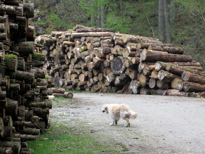
Harry dwarfed by the log piles. Now just a short hop, barely one grid square on the map, till we would be back at the car and time to drive back to meet John at his house again. - - - o o o - - - |
Technical note: Pictures taken with with my Cannon G7 or Ann's Ixus 75 Digital camera. Resized in Photoshop, and built up on a Dreamweaver web builder. This site best viewed with . . . A newly installed dishwasher to clean the after-walk tea cups . . . hurrah ! © RmH.2009 # Email me here # or leave me a Guest Book Entry Previous walk - 13th April 2009 A high level walk round Cogra Moss A previous time up here - 15th July 2008 Jo, John and Shoulthwaite Gill Next walk - 18th April 2009 Bowscale Bannerdale in the sun
|