![]()

Remember: Press F11 for a full
screen view of this page.
|
|
|
Remember: Press F11 for a full
screen view of this page. |
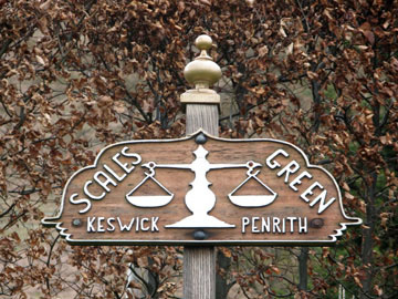
| Date & start time: Wednesday 1st April 2009. start. Location of Start : The roadside lay-by at Scales Green, Threlkeld, Cumbria, Uk ( NY 339 269 ) Places visited : Scales, up Halls Fell, Blencathra, Atkinson Pike, down Scales Fell, back to Scales. Walk details : 6.1 mls, 2625 ft of ascent, 4 hours 45 mins. Highest point : Blencathra 2,847ft ( 868m) Walked with : Our grandsons Jack and Matthew, Ann and the dogs, Harry and Bethan. Weather : Overcast and rather hazy with a slight breeze keeping temperatures down. Scales Green sign at the start of the walk |
|
|
Our grandsons are staying with us for a few days and wanted to climb Scafell Pike. The weather wasn't quite right so we decided to delay that option and climb Blencathra today.
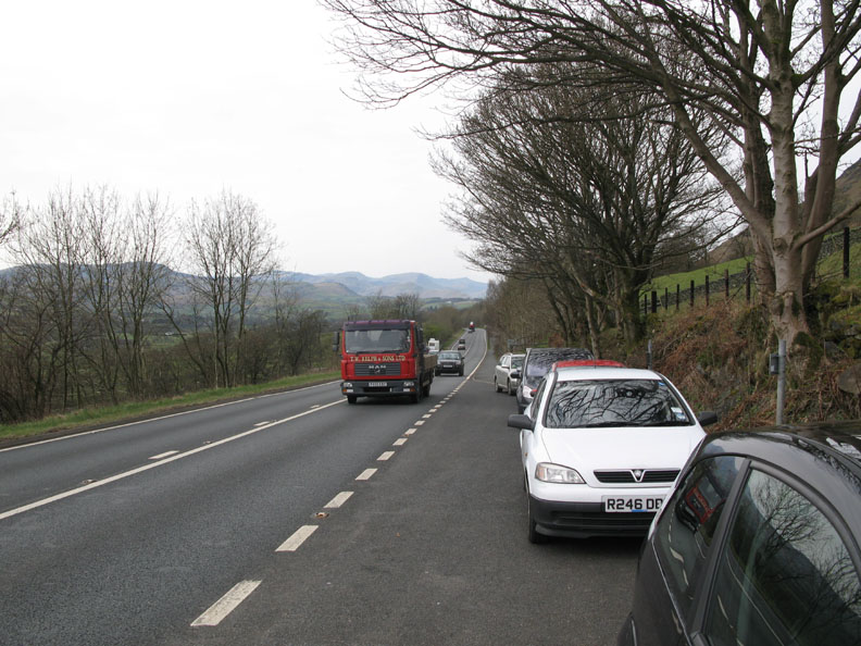
Parking at the roadside on the busy A66 . . . We recognised the first car on the row as John P's. He had made an earlier start and planned to include the Sharp Edge ascent in his walk for the benefit of his visitors.
Parking is overseen by the local attendant at Scales Farm.
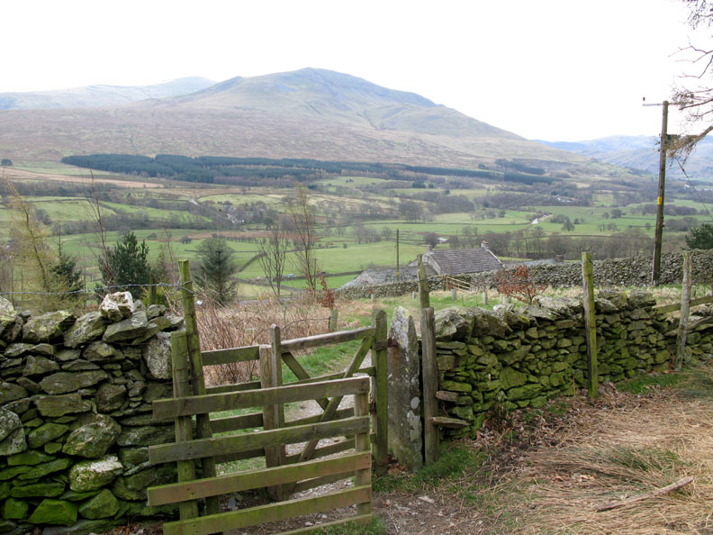
Up the road from the lay-by is the gated access to the open fell. Looking across the valley is the rather hazy Clough Head with Great Dodd behind.
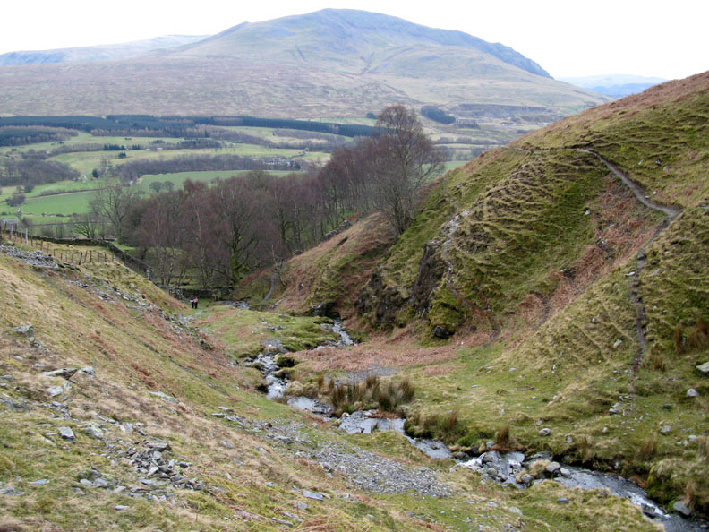
Our route was to take us across the base of the fell passing two of the becks until we started our climb, just sort of the third.
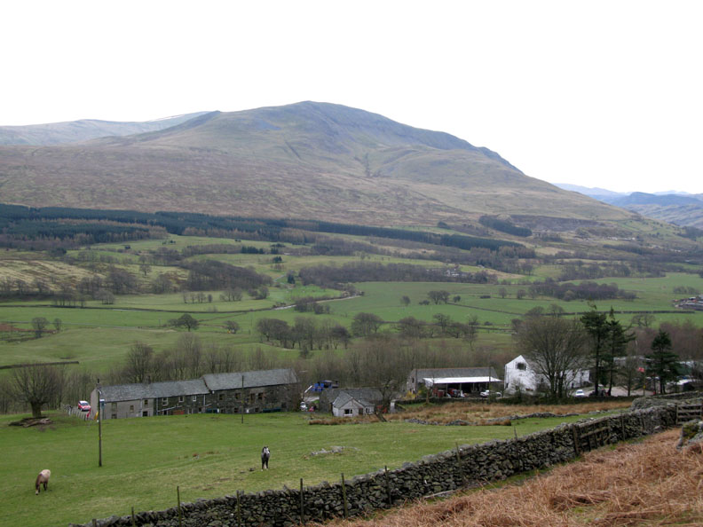
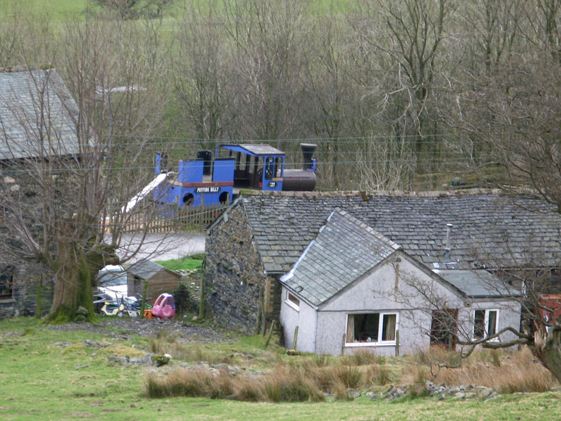
We walked across past Scales Farm and then Doddick Farm.
Puffin Billy . . . a playground railway engine at Doddick Farm.
The second crossing, this time Doddick Gill. An easier path climbs out of this valley onto the next spur.
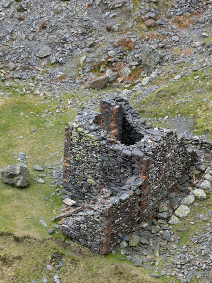
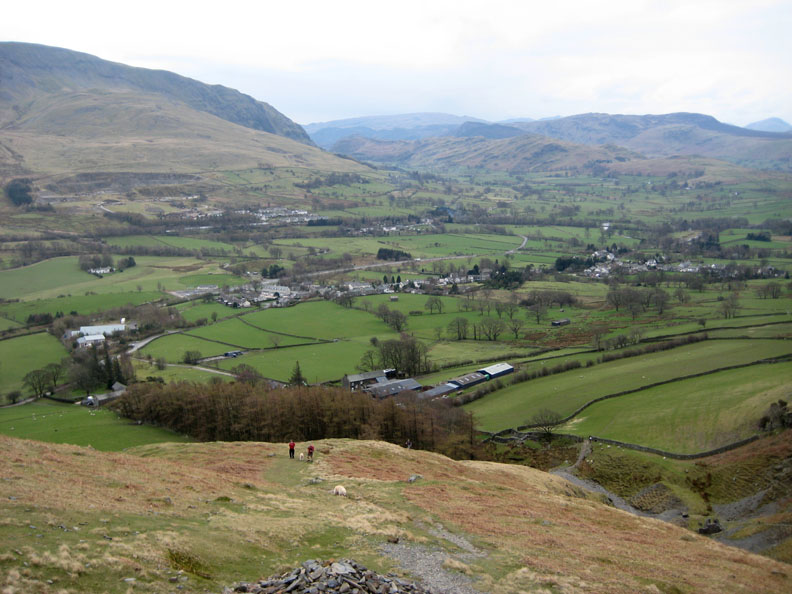
We don't go down into the third valley but start the climb up Halls Fell ridge from here. The mine building can just be seen below, and Threlkeld Village is spread out ahead of us.
The distinctive shape of Causey Pike is recognisable from most directions due to it's crinkled summit profile. Above it, and still retaining a slight snow cornice, is Crag Hill and Eel Crags.
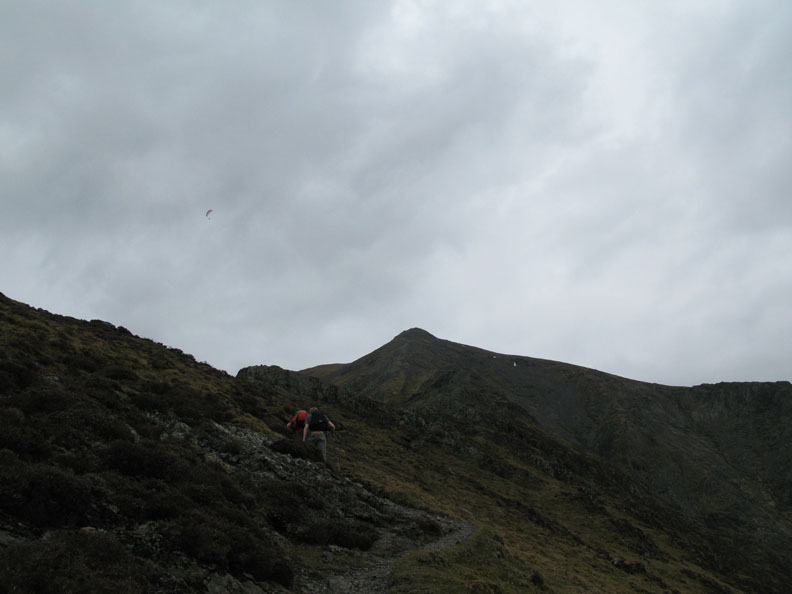
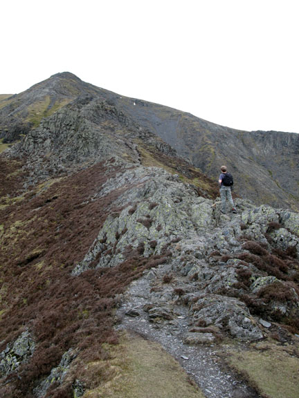
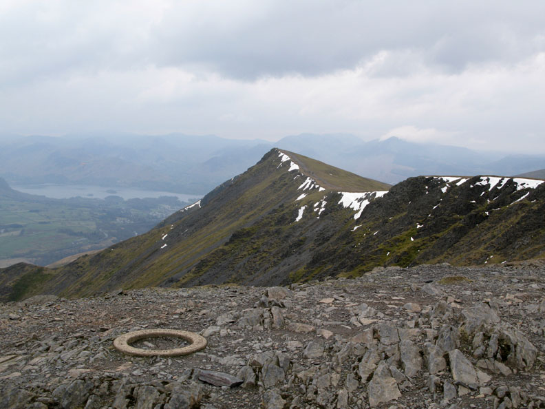
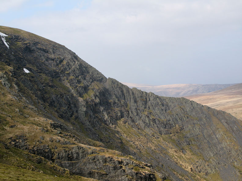
Our summit is ahead. One of the delights of this route is that it climbs directly to the top and emerges by the summit trig point.
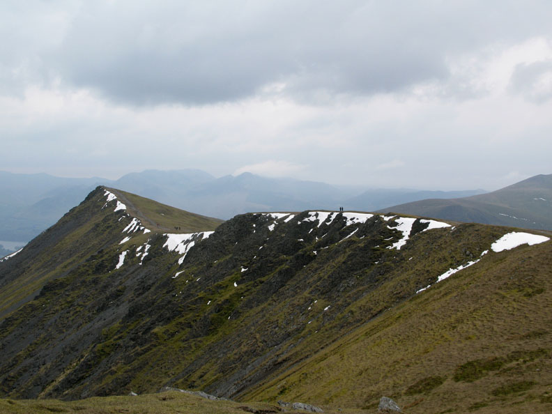
All the while we can view the secondary summit ridge which climbs from Gategill Fell summit up towards Halls Fell summit, the top of Blencathra.
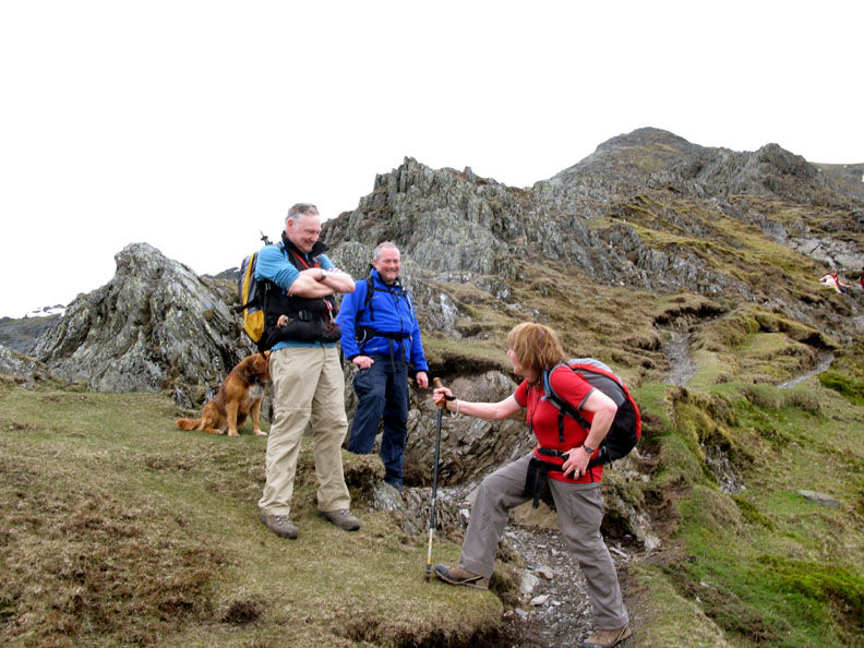
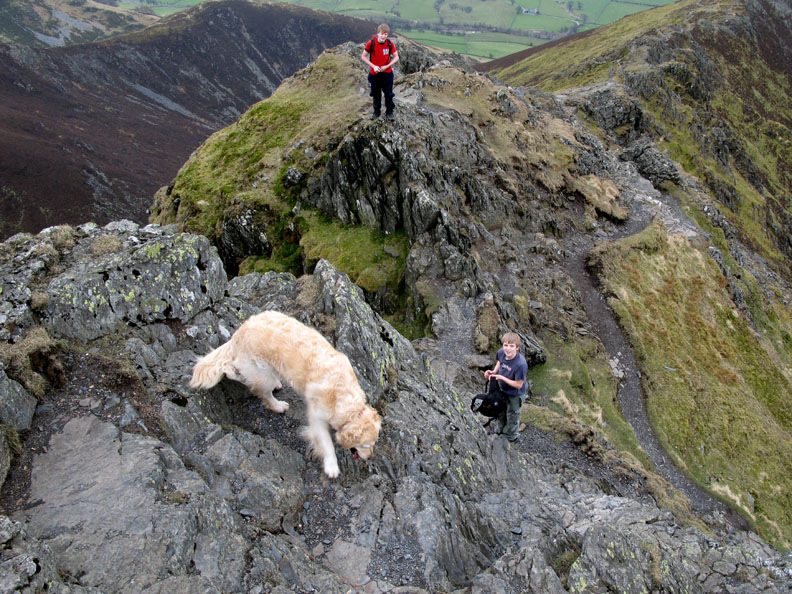
Yes . . . we met John coming down . . . with his dog Polly. With him too was Gary, an ex-colleague from his Plymouth days.
Also with him was Arthur, delighted to have completed the Sharp Edge ascent, and now enjoying the rocky Halls Fell descent.
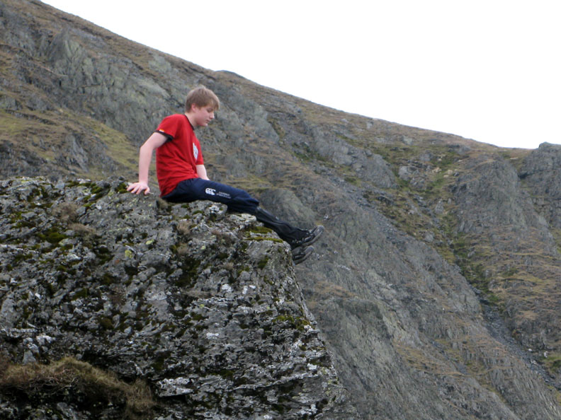
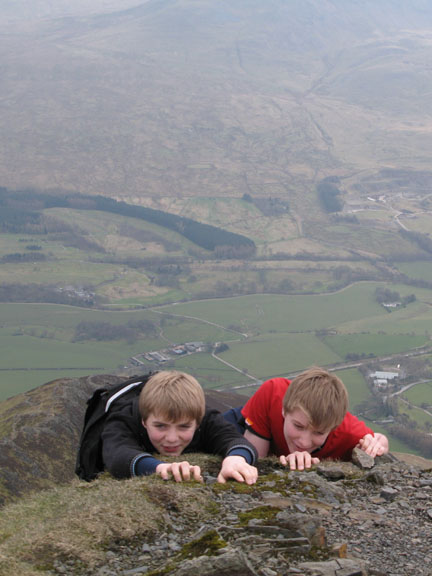
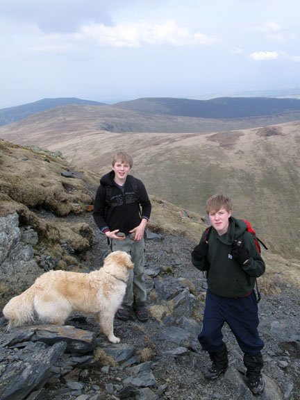
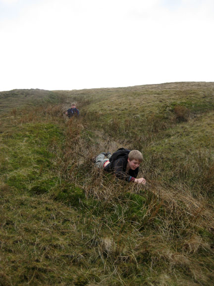
Jack rests a while on a rock outcrop . . . contemplating the world below his feet !
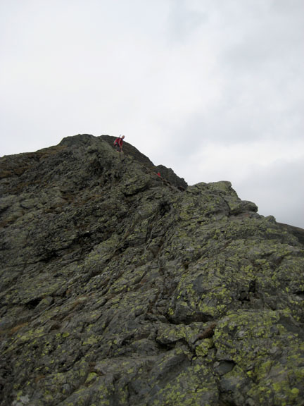
Purists can climb the highest part of the rocky arete, but like Striding Edge, there's usually an easier route by the adjacent path. Usually . . . but not always.
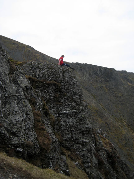
Ann contemplated the climb ahead.
Halls Fell top with it's triangulation mark is the highest point of Blencathra.
We can now look horizontally across that ridge to Gategill top and the north western fells beyond.
Walking across towards Atkinson Pike, Jack and Matthew look for a spot for lunch . . . out of the wind. Not a lot of protection up here but a dip in the ground gives us slight protection from the cool but gentle breeze.
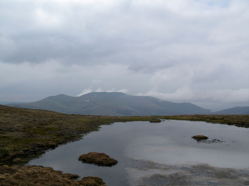
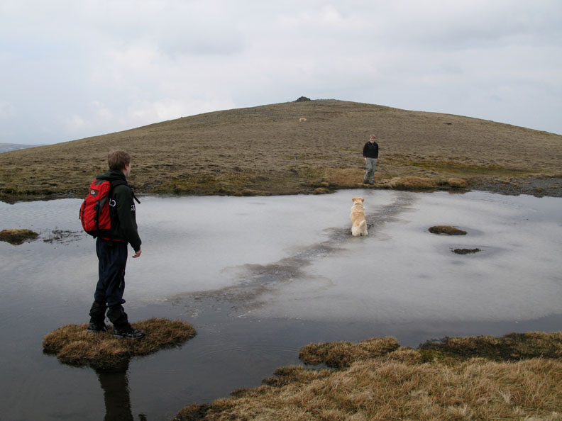
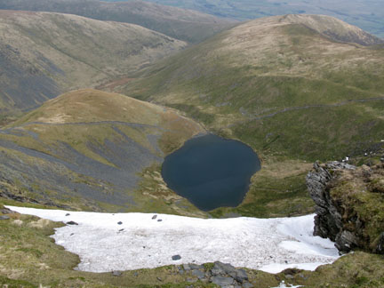
A view across to the Skiddaw Fells from the un-named tarn on the summit ridge.
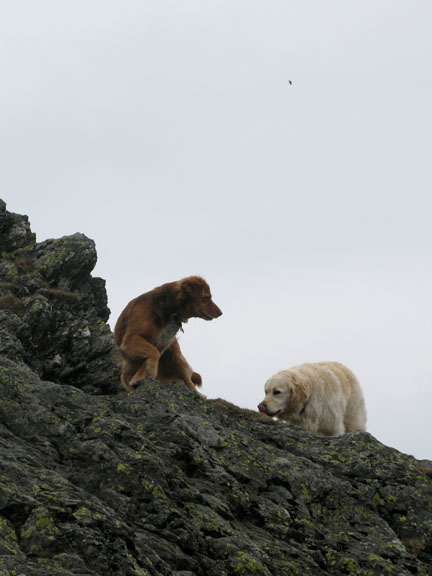
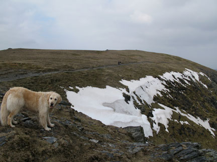
The boys throw stones for Harry to run and find. Unfortunately the slush covered water hides them as soon as they fall but he enjoys running back and fore to search for the next one.
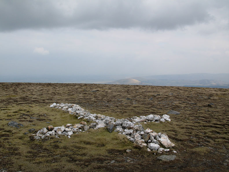
The summit ridge has a cross of white quarts stones that have been placed in the form of a cross.
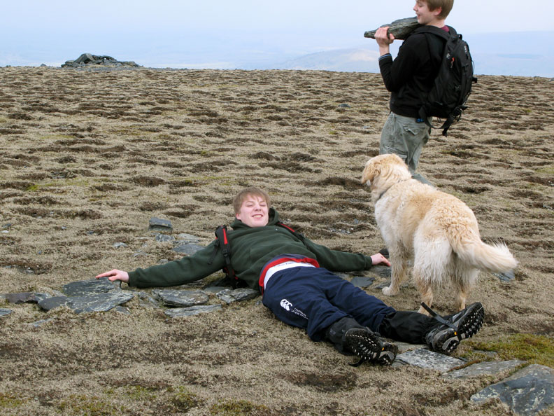
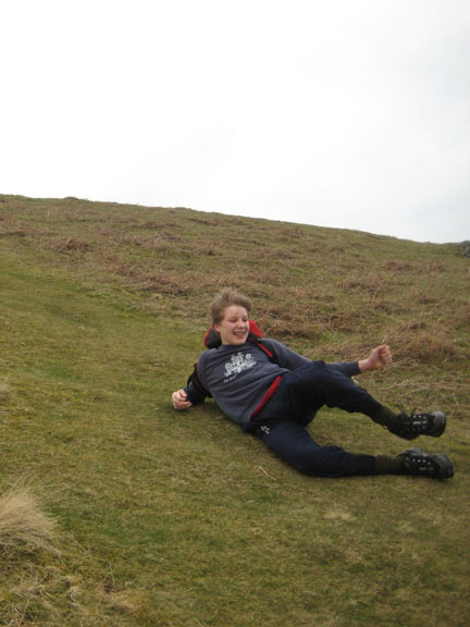
Boys will be boys again . . . We'll pass on the religious, masochistic and sibling rivalry aspects of this one !
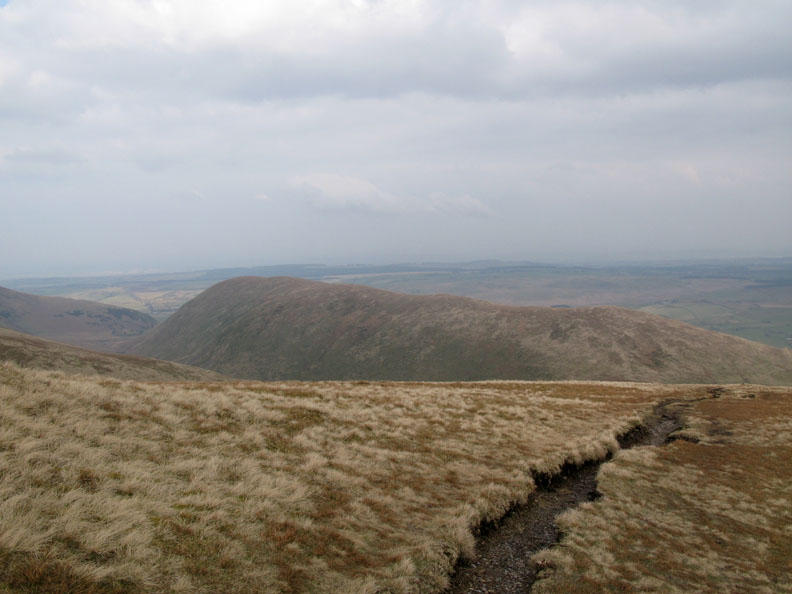
Sunshine highlights to infamous Mungrisedale Common, the least likely Wainwright of them all ?
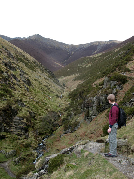
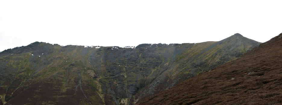
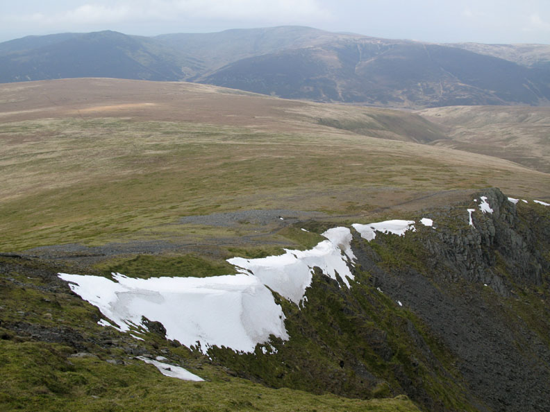
From the far end of the ridge we get a view over the snow capped edge of Foule Crag across to Great Calva and Knott.
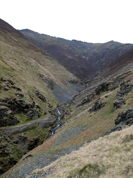
To our right, the Sharp Edge ascent and below it, the infant Glenderamakin Valley.
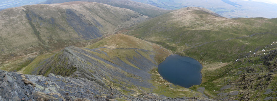
Standing back we got this panorama that includes Scales Tarn far below.
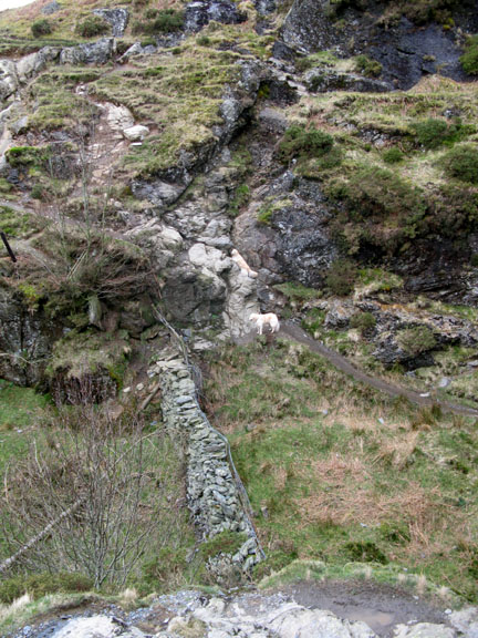
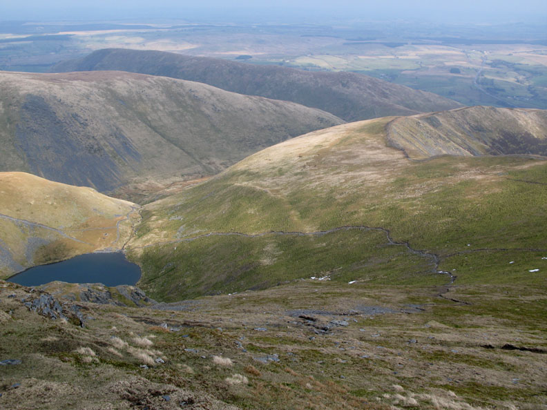
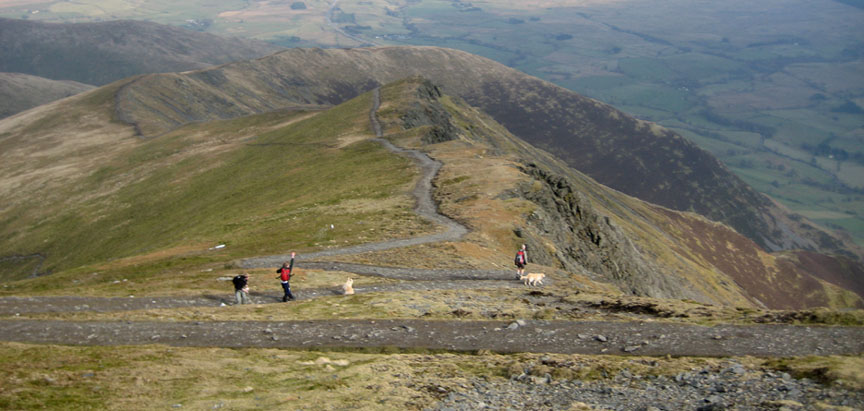
Not shown on the map, the western ascent path from Scales Tarn as it climbs to the ridge. Having returned more or less to the summit we turn for home.
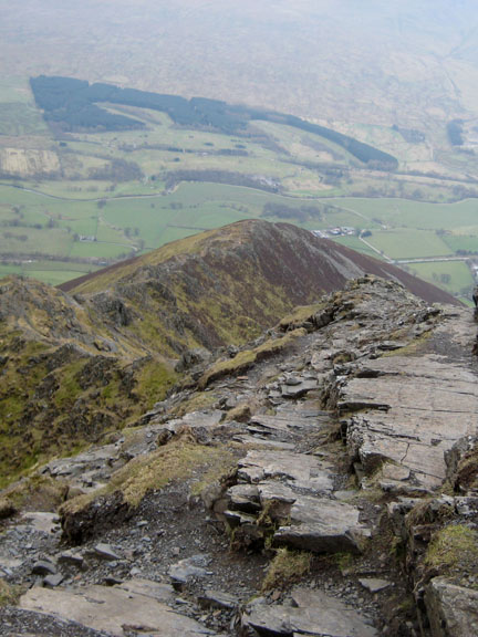
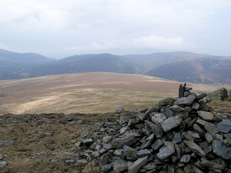
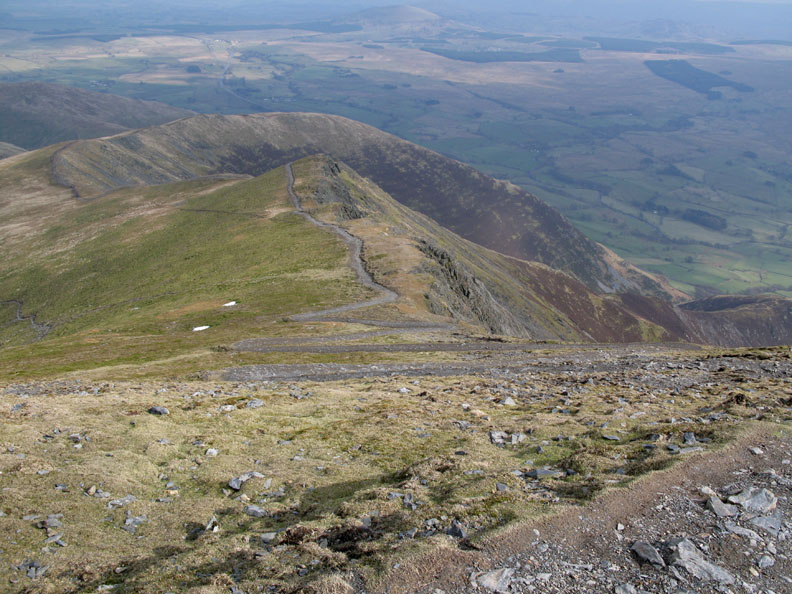
Below us now the modern monstrosity of the machine made path down towards Scales Fell, our route ahead. They may have hidden the original erosion but they have taken away the wilderness feel of this part of the fell. Time will tell . . . certainly the path is now less obvious than before from below, but was this the best alternative they could think of ?
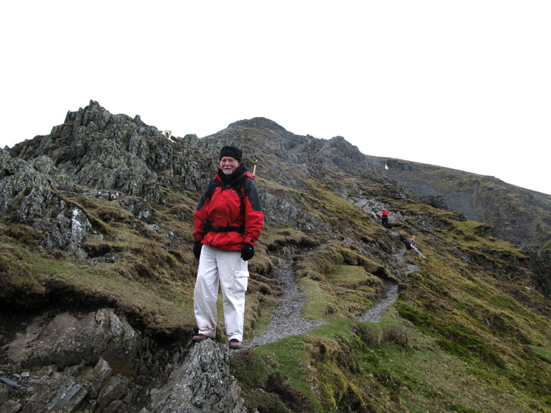
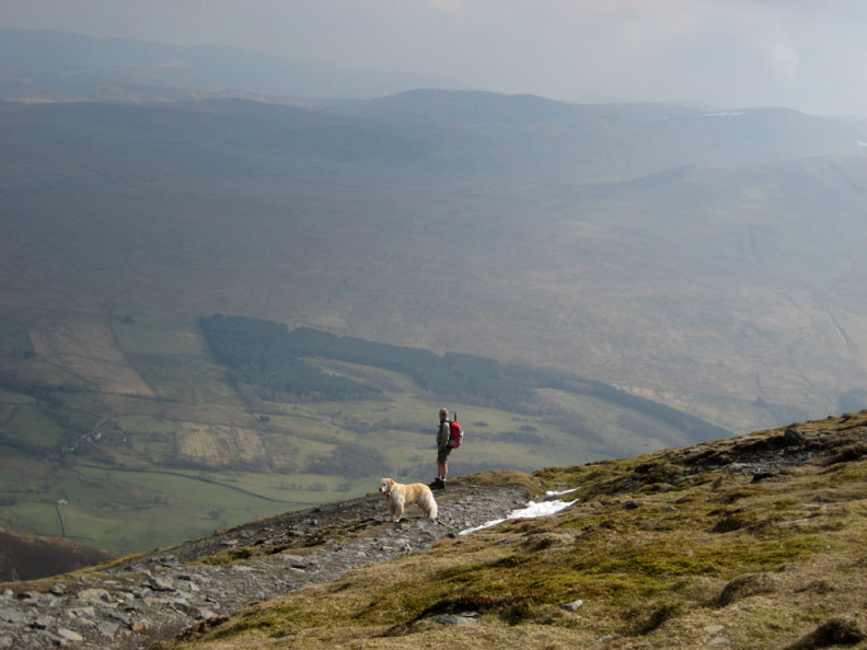
Taking the path, in deference to the erosional benefits, I contemplate finer things . . .
. . . rather unaware of the snowball that is travelling my direction !
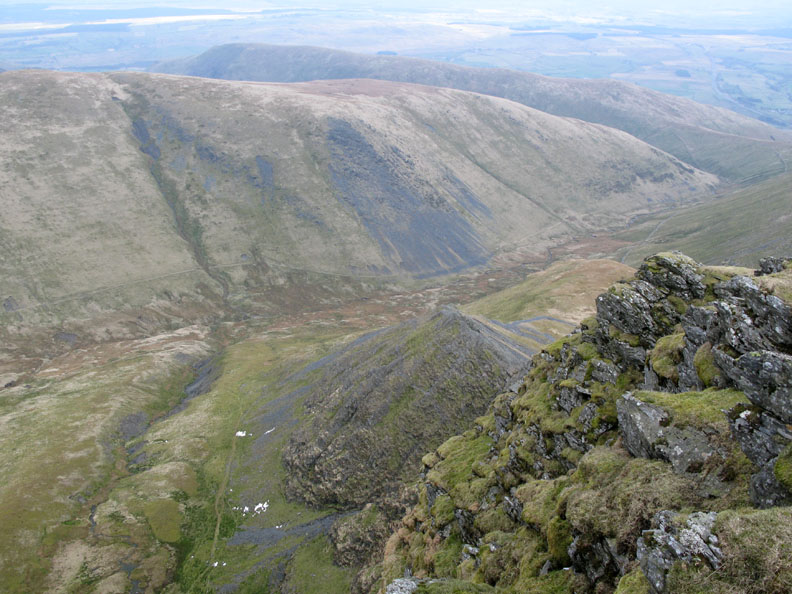
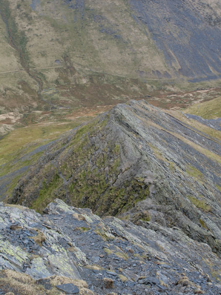
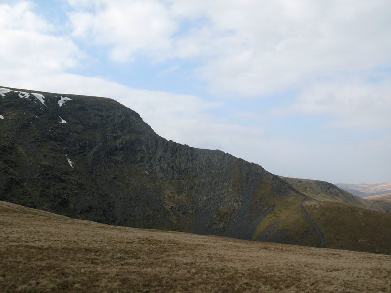
The Halls Fell Ridge . . . our ascent route.
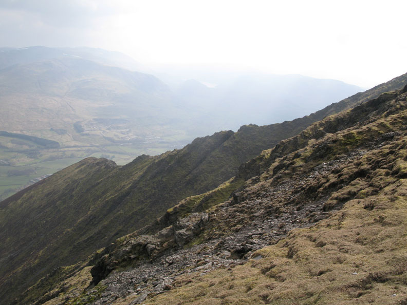
Sharp Edge, the one we didn't do today.
The 'Edge' again as we make our way down Scales Fell. The main path branches left and head for Mouthwaite Combe. The low, grassy ridge below is Souther Fell.
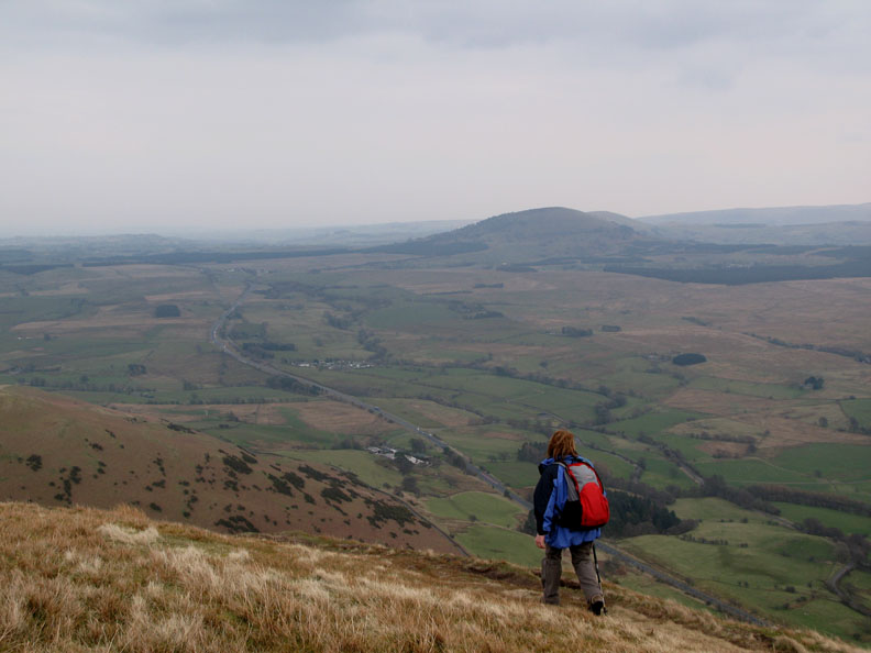
We walk a less defined path on a little further in order to enjoy direct views down to the A66 and across to the Mell Fells.
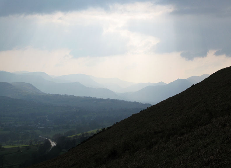
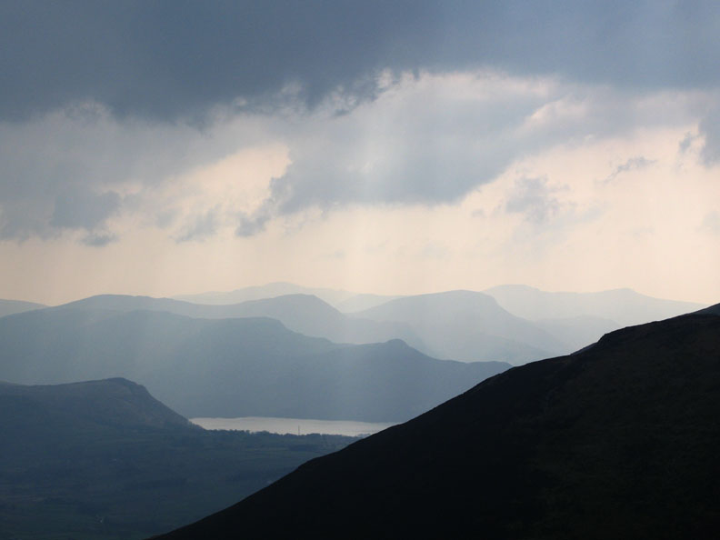
Looking west into the afternoon sun, the fells are set out on various shades of hazy blue.
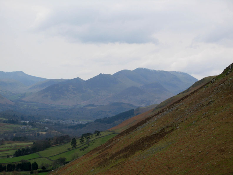
Walla Crag in the left hand foreground, Catbells next then Hindscarth and Robinson, with High Stile and Red Pike behind.
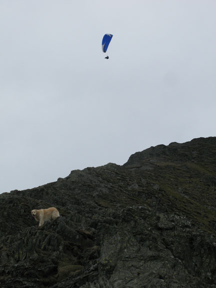
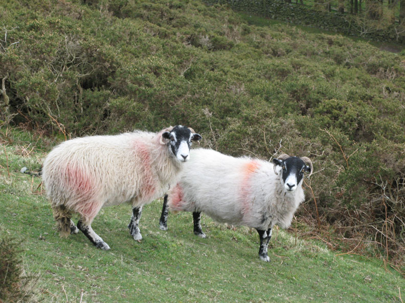
The locals below watch our passing.
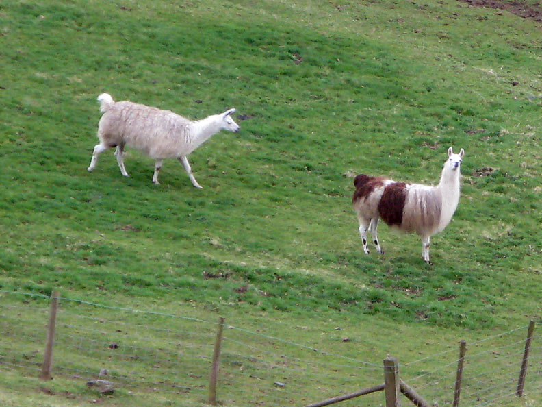
When I asked my four year old grandson what these animals were, he said they were called camel-sheep !
Back at the fell wall, Jack races down but Matthew beats him to it, showing rather more cleavage than he cared to admit as he stood up from falling in the pile of grass by the gate.
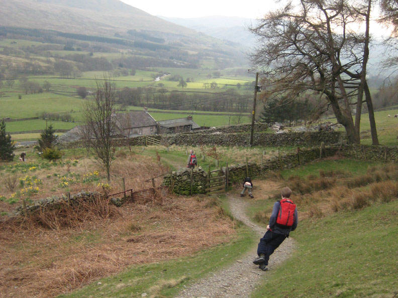
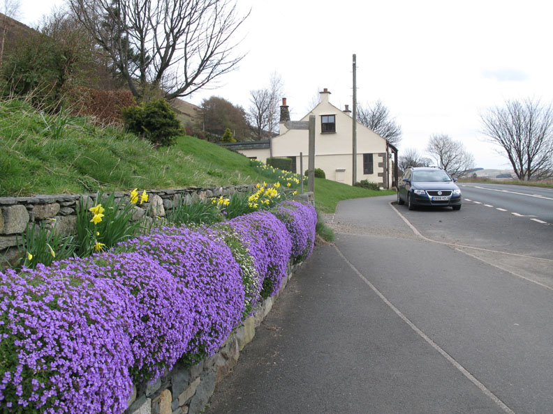
Spring flowers abound at Scales as we walk back to the car at the end of this Blencathra walk. - - - o o o - - - |
Technical note: Pictures taken with with my Cannon G7 or Ann's Ixus 75 Digital camera. Resized in Photoshop, and built up on a Dreamweaver web builder. This site best viewed with . . . photographs from ' times gone by ' to refresh your memory. © RmH.2009 # Email me here # or leave me a Guest Book Entry Previous walk - 29th March 2009 Sunny Grey Knotts and Brandreth A previous time up here - April 1988 / Oct 97 Blencathra with Gareth and Jenna
|