![]()

Remember: Press F11 for a full
screen view of this page.
|
|
|
Remember: Press F11 for a full
screen view of this page. |
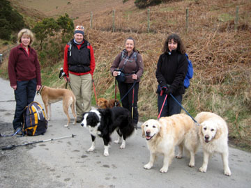
| Date & start time: Sunday 15th March 2009. 10.55 am start. Location of Start : Roadside at Mousthwaite Comb, Scales near Threlkeld, Cumbria, ( NY 349 272 ) Places visited : Mousthwaite Comb, Souther Fell, down to then follow up the Glenderamackin Valley to White Horse Bent then back over to the car. Walk details : 4.85 ml, 1625 ft of ascent, 4 hours. Highest point : Souther Fell 1,712ft ( 522m) Walked with : Jo, Jill, Angie, John, myself (Ann) and the dogs, Jodie, Bailey, Polly, Harry and Bethan. Weather : Overcast but fine. A balance of dogs and people (five of each including me) |
|
|
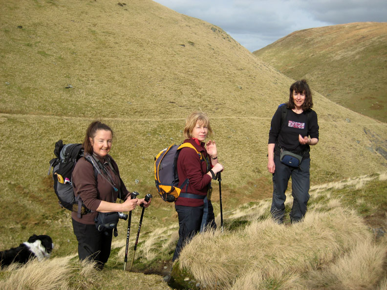
Chance for one last walk before everyone has to return home after their week's holiday. We were joined today by John and climbed Souther Fell from the south. An unusual descent allows a shorter return along the Glenderamackin.
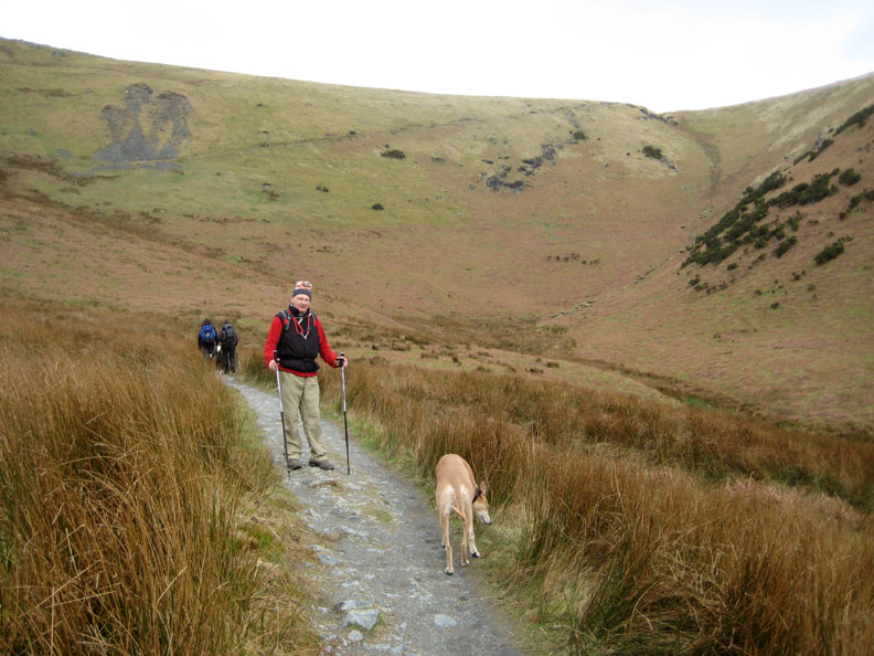
John and Jodie at the start of our walk into Mousthwaite Comb. Our ascent path can be seen running diagonally across the top of this photo.
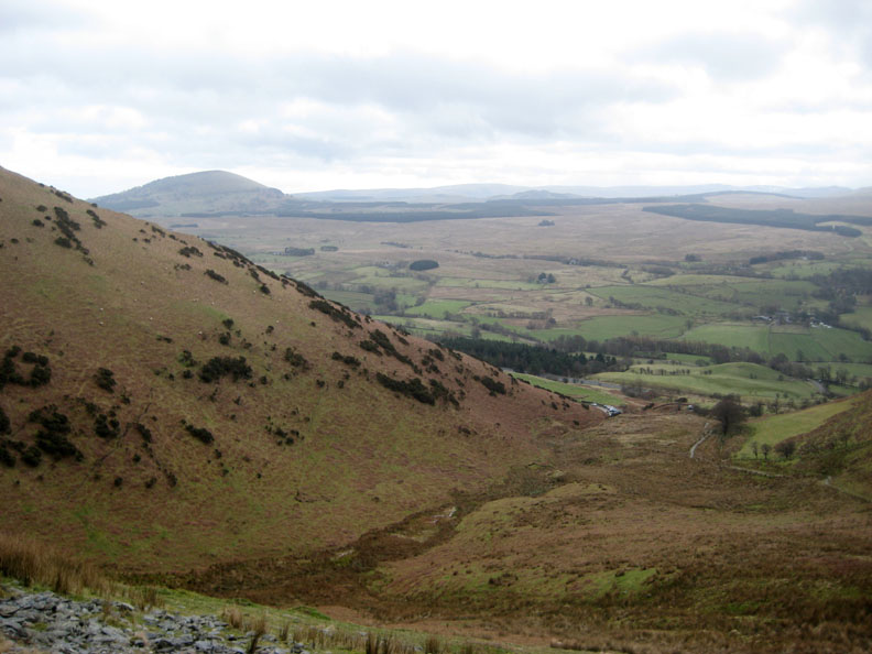
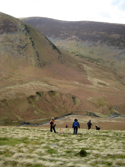
Our view as we ascend the upper reaches of the Comb, the cars are directly below us. Great Mell Fell is to the left, the lower section of the High Street range is in the far distance.
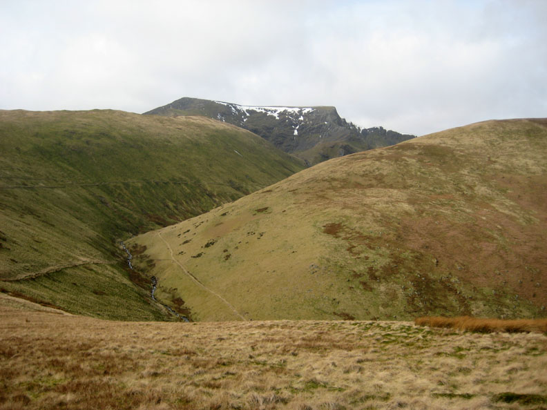
Our view towards Foule Crag on Blencathra from the top of the Comb. White Horse Bent is directly in front of us and our return path can be seen on the slopes below.
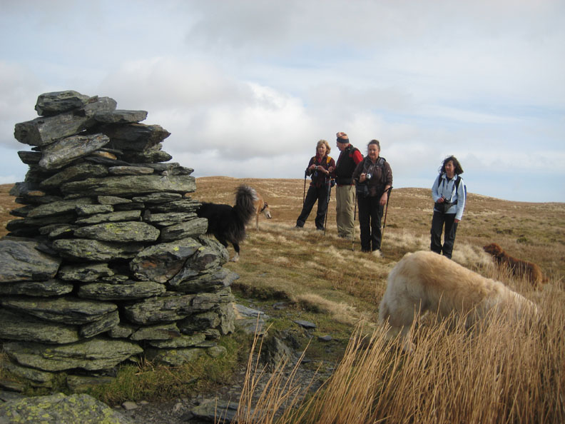
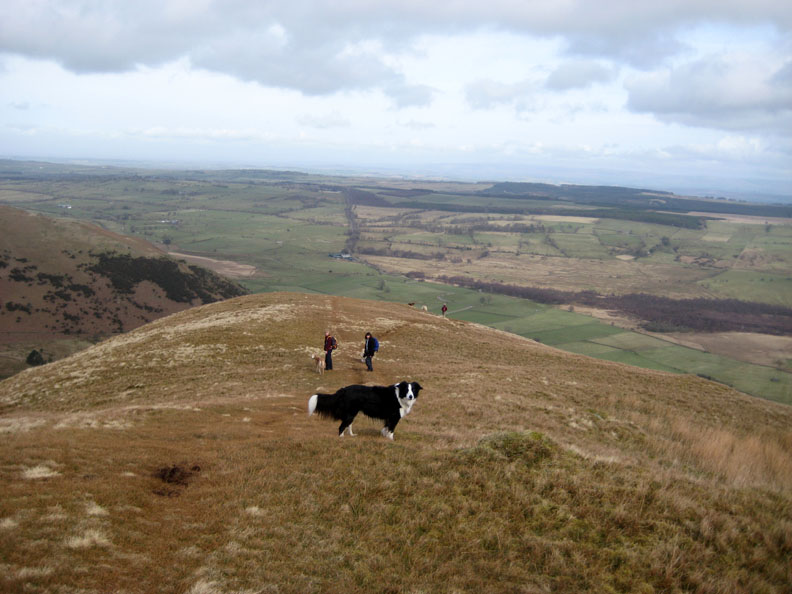
We reach the lower cairn on the ascent of Souther Fell ridge.
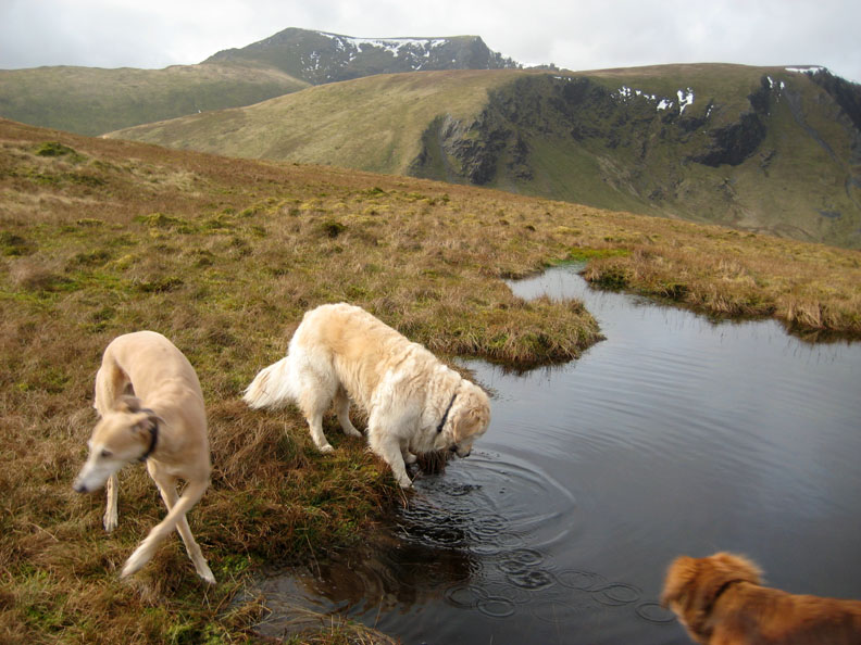
Bannerdale Crags behind and Blencathra in the far distance. Harry and Polly investigate a small tarn while Jodie becomes cross legged as she turns away.
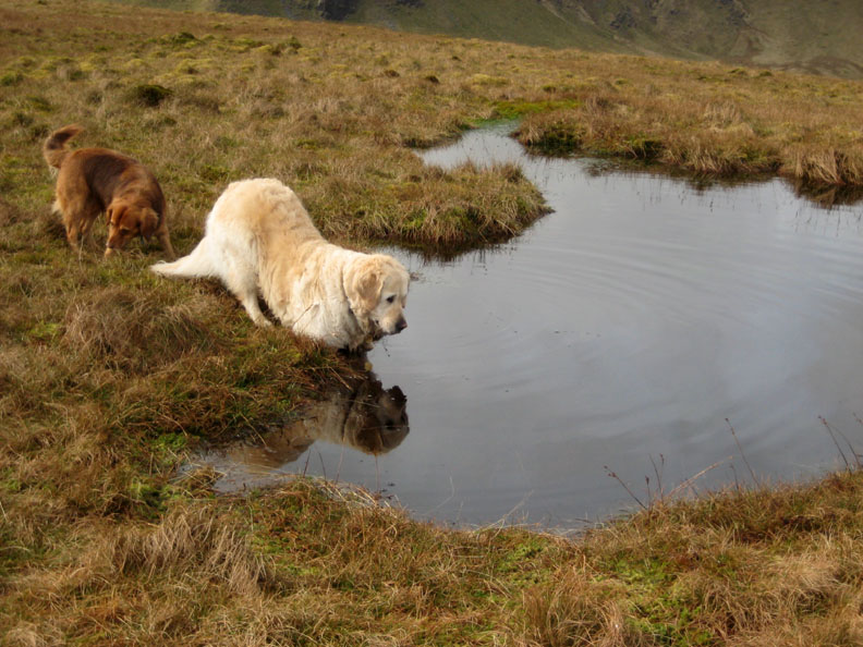
" I'm sure I can see another dog in here who's just like me "
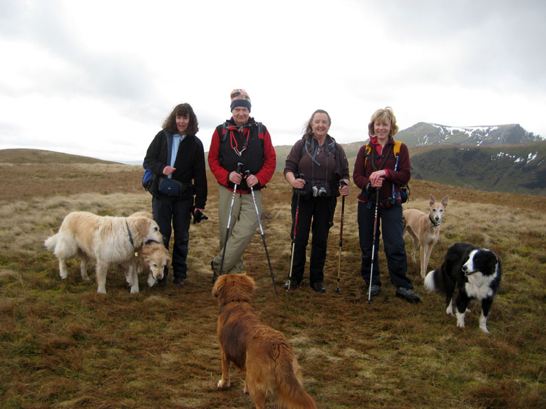
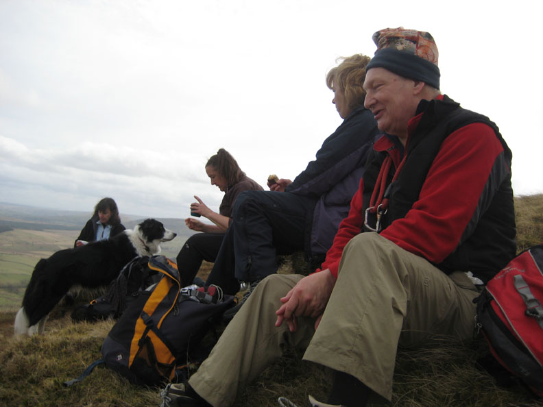
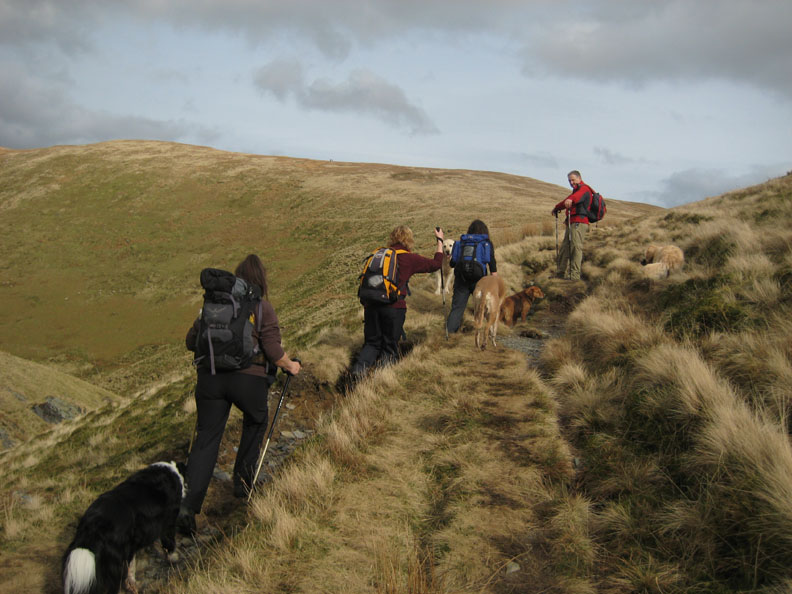
Jill, John, Angie and Jo with Souther Fell summit behind and to the left. Harry takes a playful mouthful of Bethan, Polly and Bailey look on, but Jodie stays as serene as ever !
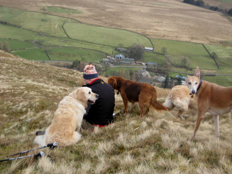
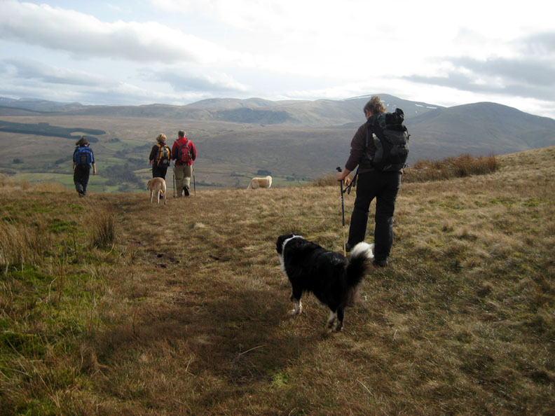
Bailey waits for Angie and myself as we start our descent towards Mungrisedale.
Mungrisdale village below as we stop for our lunch. I think John has some treats on offer !
Lunch in progress . . .
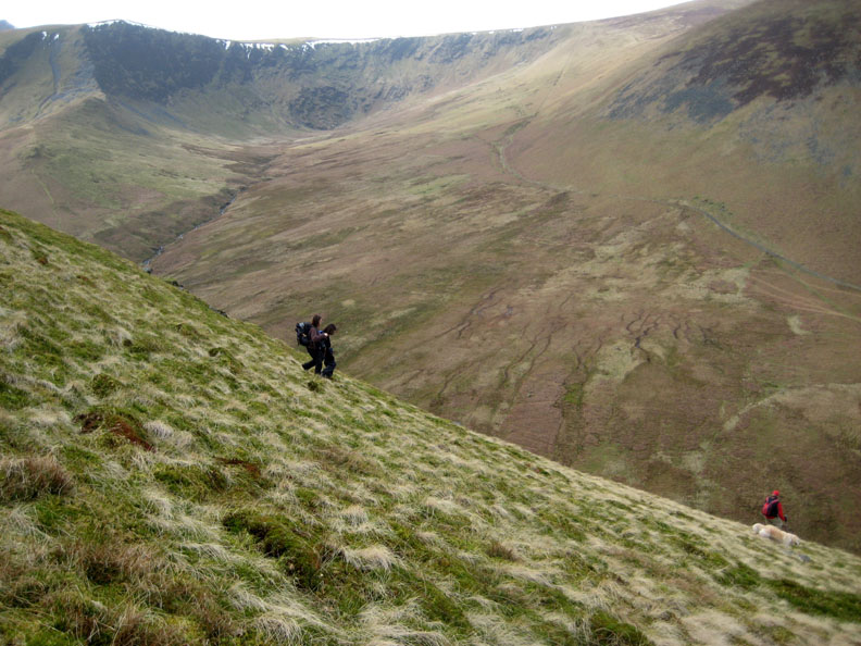
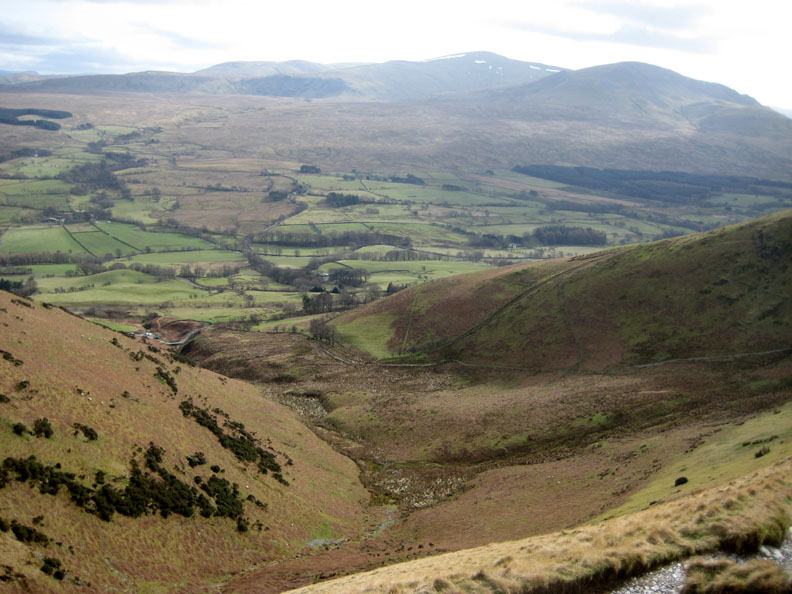
We decide to take the direct, steep descent down to the River Glenderamackin below, rather than descend to the village and have to make a half a mile detour in the opposite direction. Bannerdale Crags and it's prominent East ridge are clearly seen in the distance.
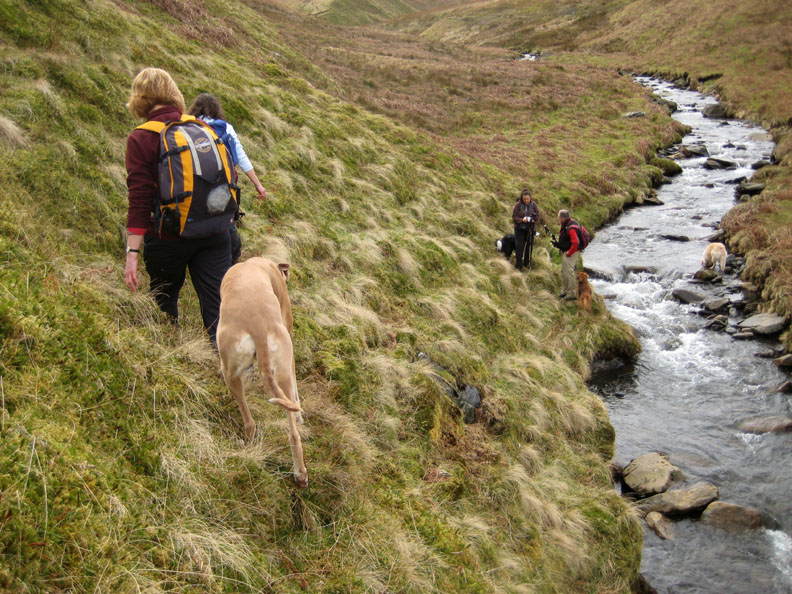
We walk alongside the Glenderamackin on a pathless route. Harry has made it to the opposite side of the river already, but we need to look for a suitable crossing point for ourselves as we make our way up the valley.
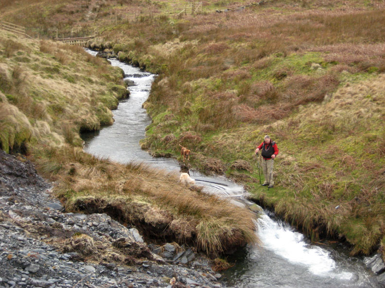
John has found a good place to cross.
Jo takes it carefully. Jodie doesn't look too keen . . . she doesn't like to get wet !
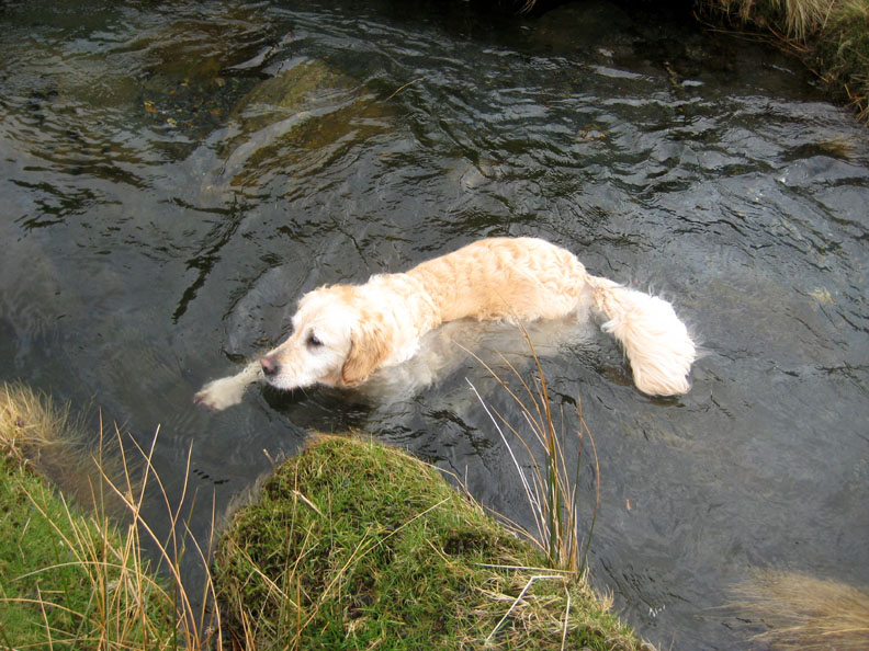
On the other hand Harry does, and enjoys a swim in the clear, deep water while he waits for us all to cross.
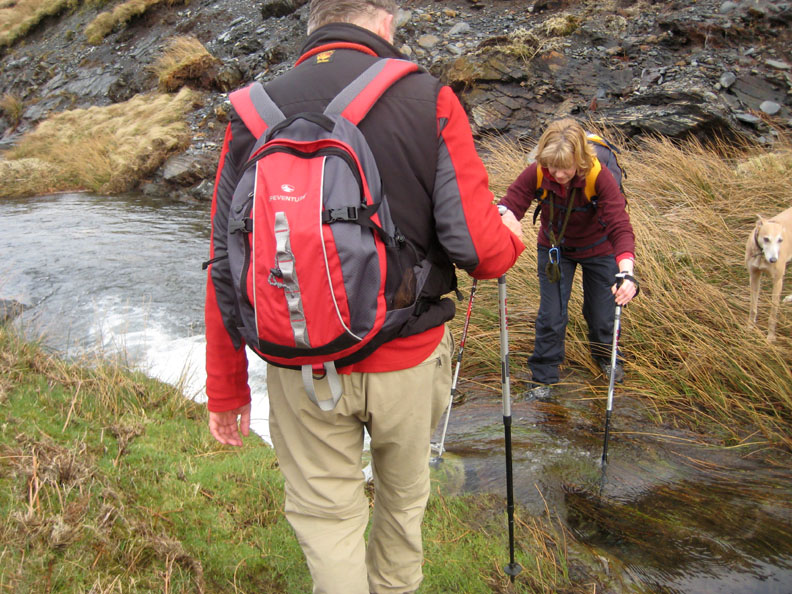
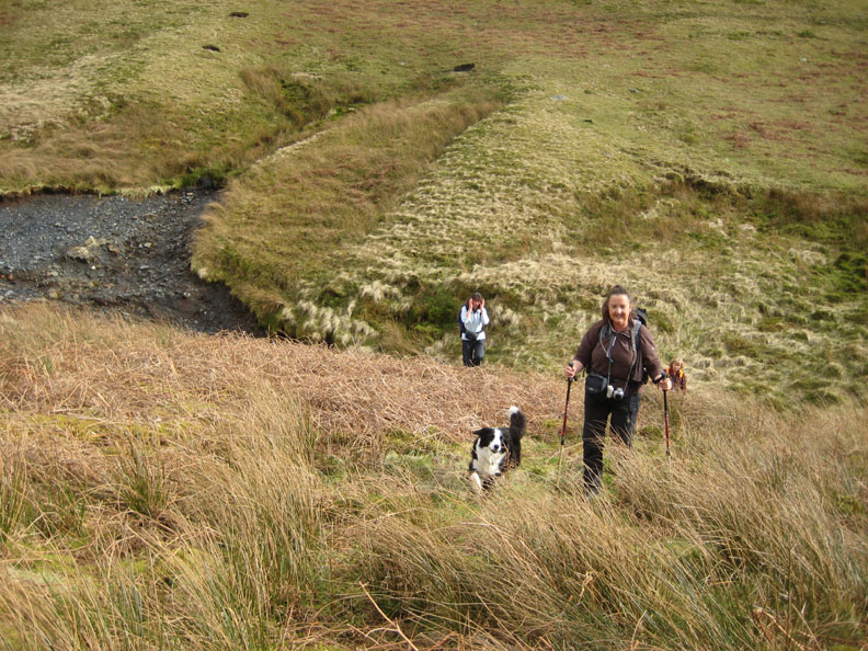
Safely across, Angie, Bailey, Jill and Jo make their way up onto the main path.
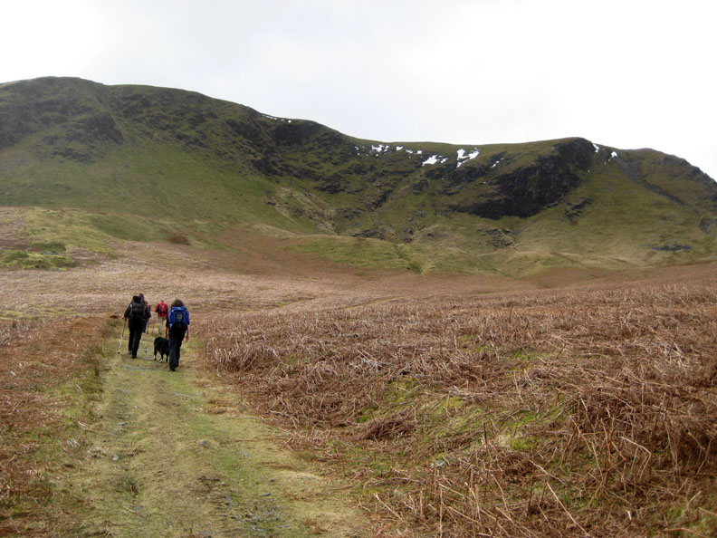
We now walk up the valley, skirting below Bannerdale crags.
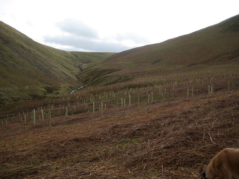
There has been a great deal of tree planting in this area. The far skyline is the top of Mousthwaite Comb that we climbed to at the start.
Our path around White Horse Bent is in the background as we make our way up to the top of the Comb.
" Come along Ladies ! "
We make our way over the top. The visibility is much improved from our morning view. Clough Head to the right with some snow visible on Great Dodd behind. In the far distance is the Helvellyn range.
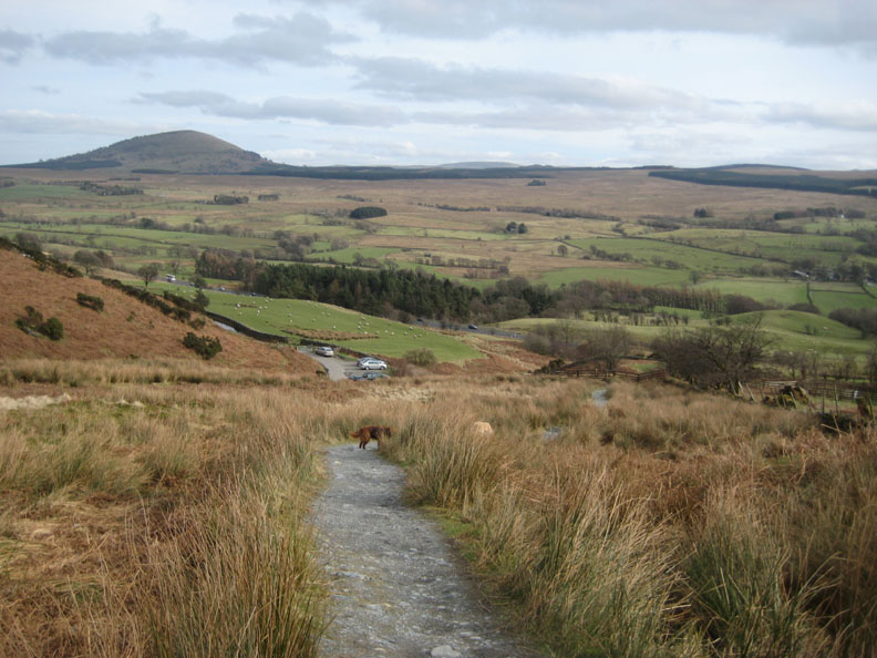
Looking down Mousthwaite Comb with our descent path on the right.
The end of the track with our cars ahead. - - - o o o - - - |
Technical note: Pictures taken with with Ann's Ixus 75 Digital camera. Resized in Photoshop, and built up on a Dreamweaver web builder. This site best viewed with . . . tea and cakes in Angie's caravan © RmH.2009 # Email me here # or leave me a Guest Book Entry Previous walk - 14th March 2009 Green Crag for Jill and everyone A previous time up here - 26th January 2005 A selection of short walks after the gales
|