![]()

Remember: Press F11 for a full
screen view of this page.
|
|
|
Remember: Press F11 for a full
screen view of this page. |
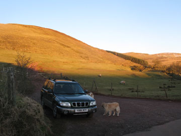
| Date & start time: Wednesday 11th February 2009. 3.20 pm start. Location of Event : The Lamplugh to Croasdale Road, Ennerdale, Cumbria, Uk ( NY 143 211 ) Places visited : Knock Murton and back in a slightly circular route. Walk details : 2 ml, 750 ft of ascent, 1 hours 10 mins. Highest point : Knock Murton 1410 ft ( 447m ) Walked with : Ann and the dogs, Harry and Bethan. Weather : Sunny and clear but a cold, easterly breeze at the top. Parking at the roadside at the entrance to the Knock Murton track |
|
|
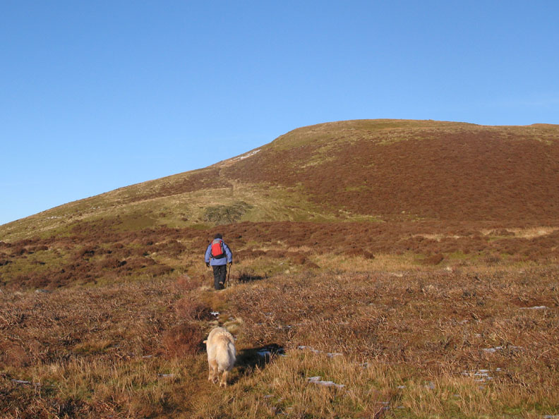
Knock Murton is one of the western outlying fells that is perched outside the main body of the Loweswater Group. Access is easy and a fine afternoon is all you need to enjoy this jewel of the west coast.
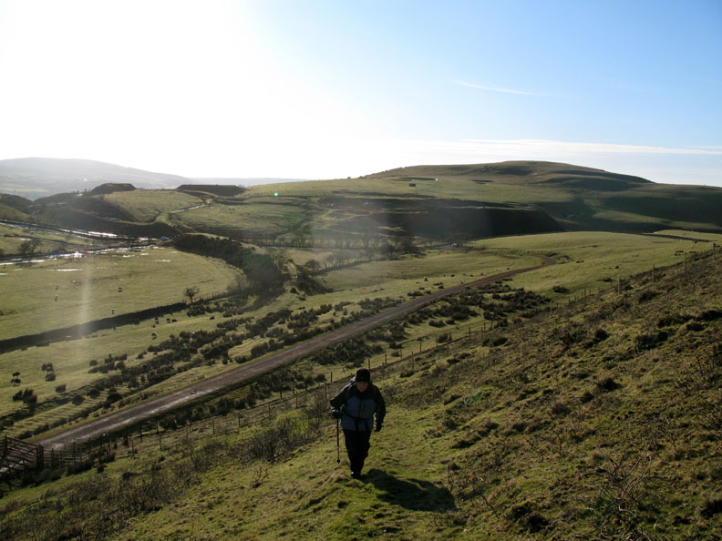
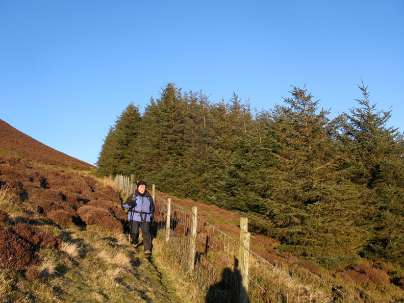
The way in is via the old mine or now the modern forestry road. Once the gate is reached then you can break out and take one of the many old mine tracks that criss-cross the fell side.
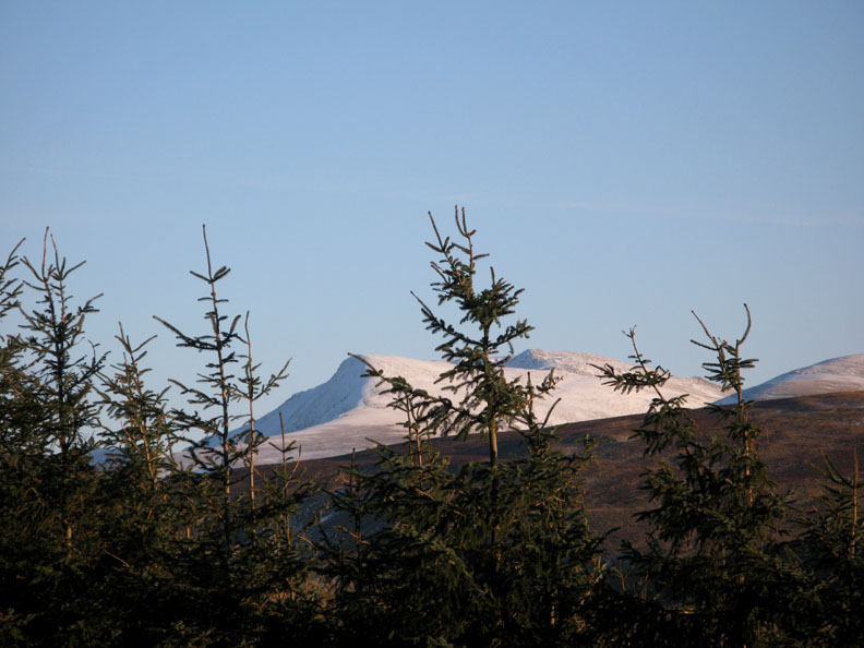
Climbing up, the Ennerdale fells start to show their true winter colours.
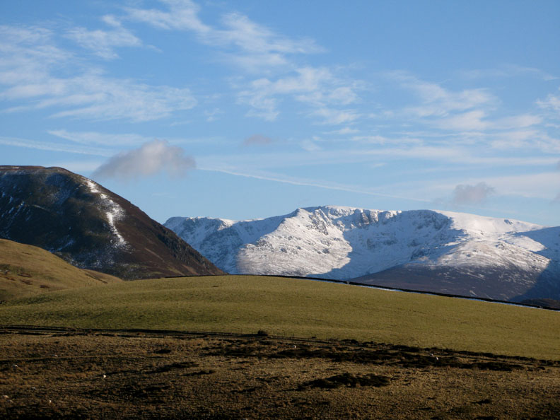
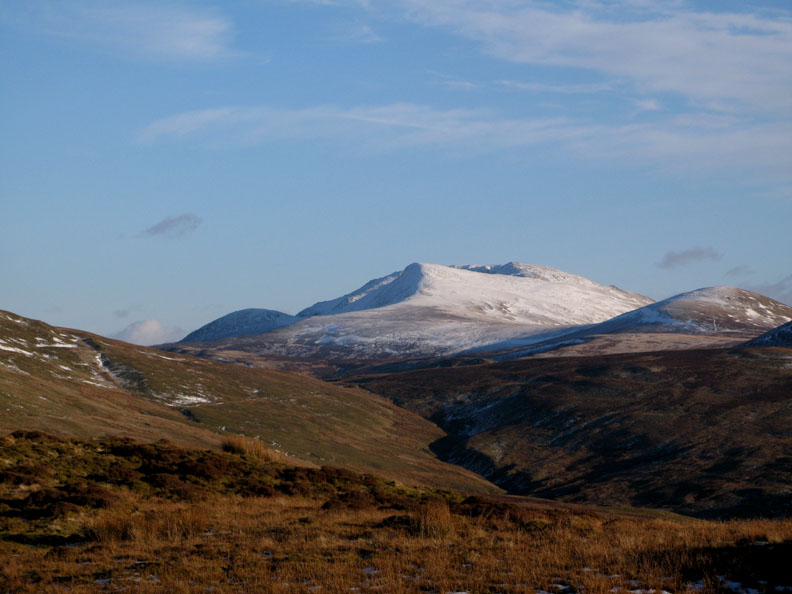
This is Steeple Fell with Pillar to the left and the ridge to Haycock to the right. The darker fell in the foreground is Great Borne, or more technically Herdus, it's western edge.
Reaching a slightly more level patch now and the vegetation shows the extent to which last year's fire killed off the old heather. Fortunately new shoots are starting to grow at ground level so the plant's life cycle starts once again.
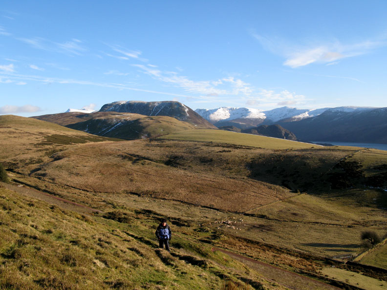
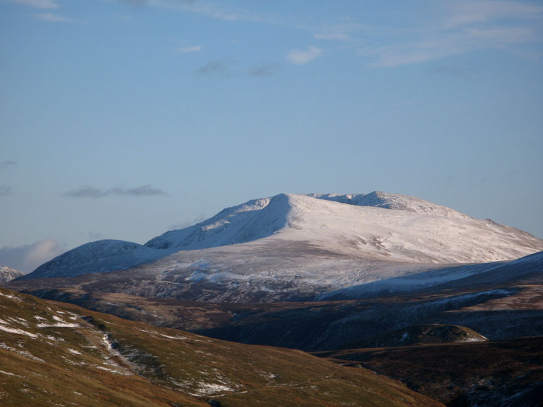
Nearing the top, the vista towards Red Pike and High Stile opens up.
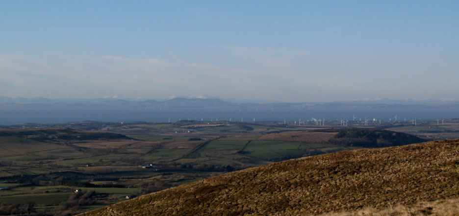
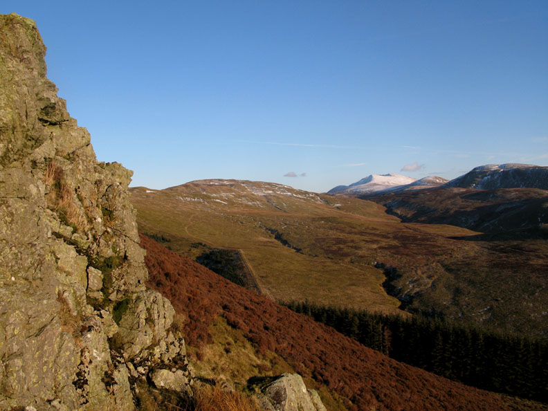
Today's visibility is good. In the distance the wind farms of Workington, the new off-shore wind farms of the Solway plus snow on the distant Dumfries and Galloway hills.
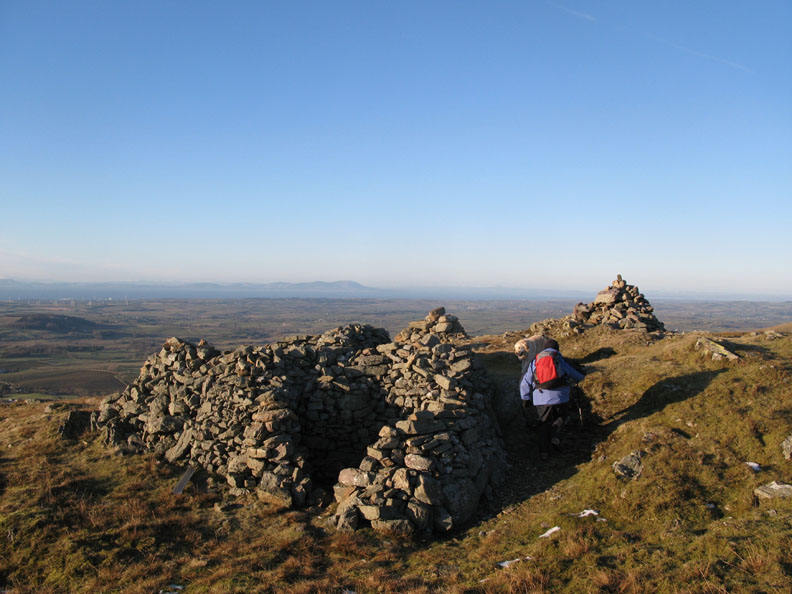
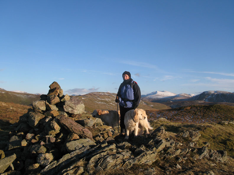
Ann reaches the shelters at the summit of the fell. Surprisingly, Criffel in the background appears to have no snow at all.
Wrapped up warmly against the strong easterly breeze at the summit.
Red Pike and High Stile from the same point.
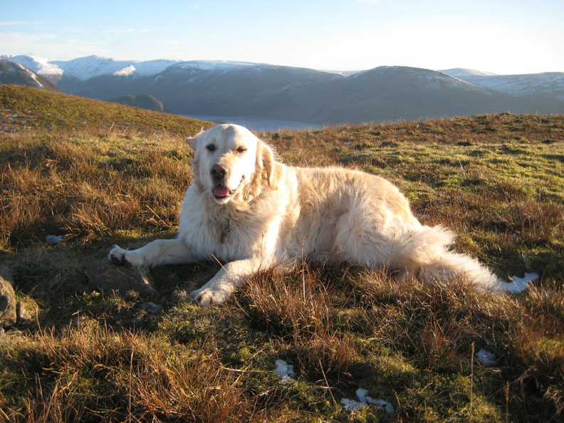
Harry taking time out at the top.
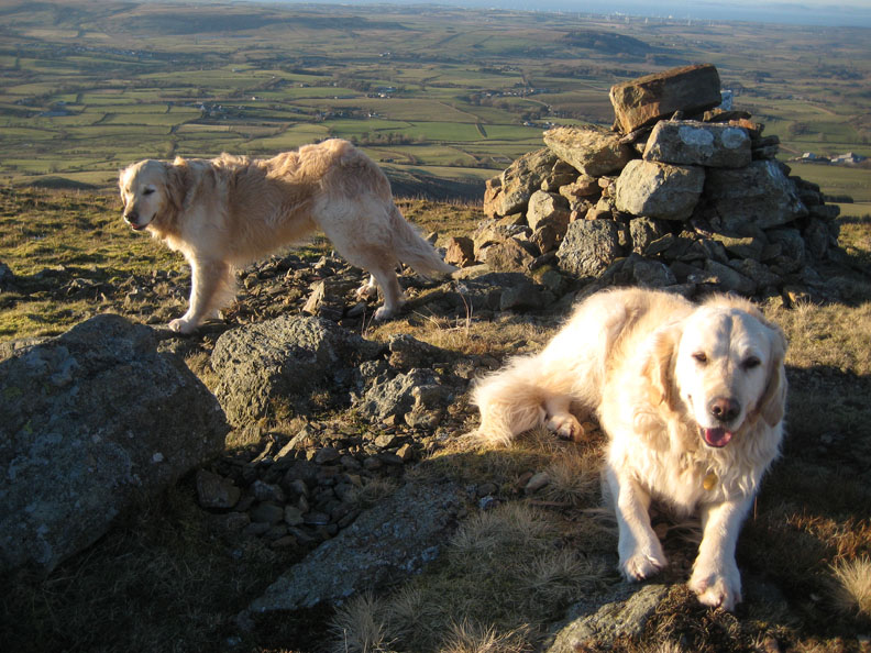
The two dogs and the background view of the Solway Plains.
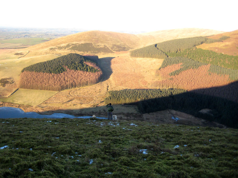
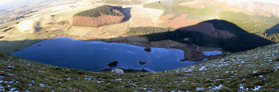
I popped over to the edge of the summit plateau to look down on the lake below.
Cogra Moss Reservoir is still frozen over due to being in the shadow of the fell for most of the day
Blake Fell behind is where we met Edmund recently
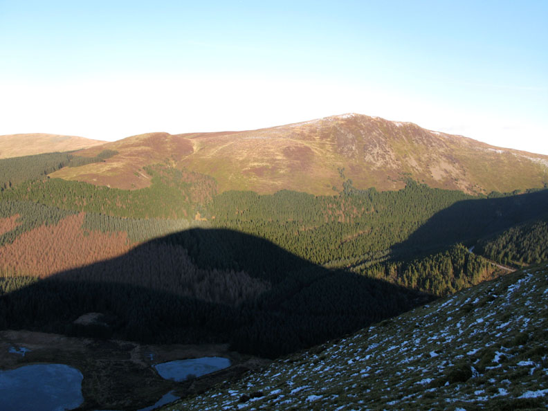
Turning west, we make our way down from the summit towards the forest edge below.
A last, wonderful glimpse of Red Pike and High Stile before they are lost behind the trees.
Our slightly circular route takes us down alongside the forest edge and back to the main track.
It was a short hop along the forest road, parallel to the old railway track, till we found ourselves back at the start of this fine afternoon walk. - - - o o o - - - |
Technical note: Pictures taken with with my Cannon G7 or Ann's Ixus 75 Digital camera. Resized in Photoshop, and built up on a Dreamweaver web builder. This site best viewed with . . . a few hours to spare after a busy day © RmH.2009 # Email me here # or leave me a Guest Book Entry Previous walk - 9th February 2009 High Snockrigg from Buttermere A previous time up here - 10th Feb 2008 Sunshine with a difference on Blake Fell
|