![]()

Remember: Press F11 for a full
screen view of this page.
|
|
|
Remember: Press F11 for a full
screen view of this page. |
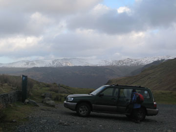
| Date & start time: Thursday 22nd January 2009. 3 pm start. Location of Event : Honister Hause, head of the Buttermere Valley, Cumbria, Uk ( NY 225 135 ) Places visited : Dale Head and back. Walk details : 2.5 ml, 1350 ft of ascent, 2 hours. Highest point : Dale Head 2,473ft ( 753m) Walked with : Ann and the dogs, Harry and Bethan. Weather : Overcast and grey but with a little late afternoon sun. Windy at altitude. We park at the National Trust Car Park below the Honister Hostel |
|
|
It's been a better sort of day in that it hasn't rained or snowed and the cloud is not down on the fells as yesterday. We take the opportunity and chance of a snowy walk up on Dale Head, hoping for a view from the top.
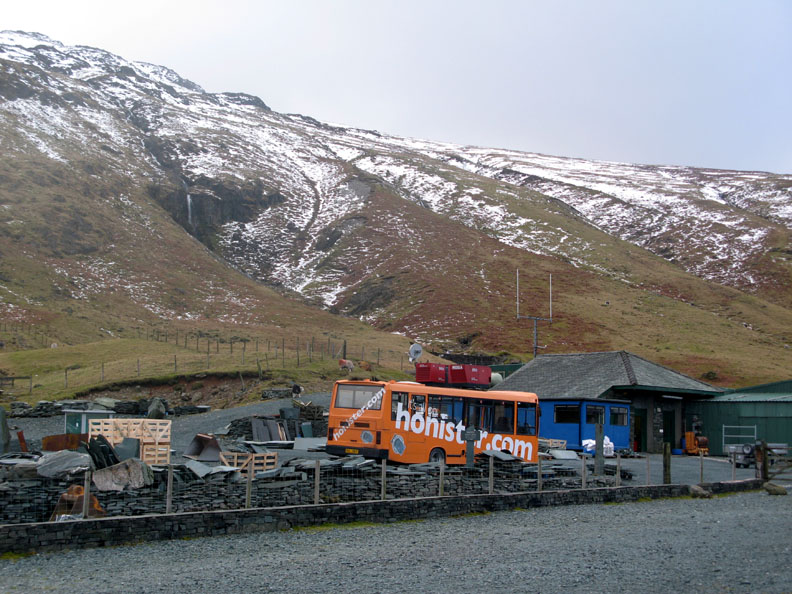
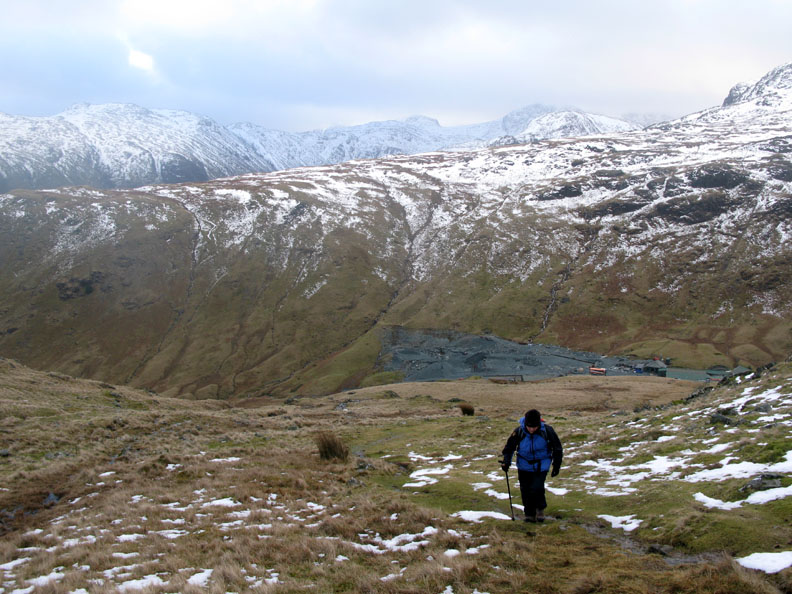
Honister Mines and there's plenty of water in their waterfall due to the partial thaw.
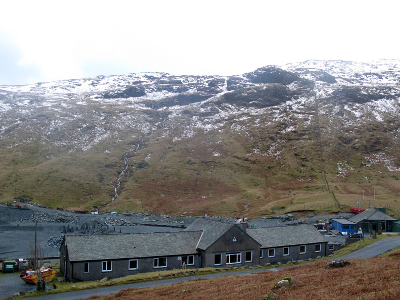
The long, thin Honister Youth Hostel alongside the highest part of the mountain road..
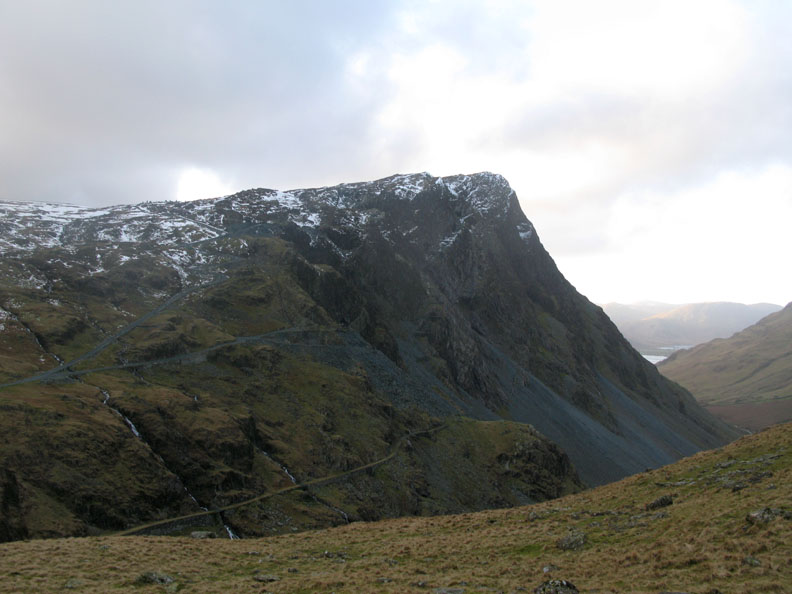
Honister Crags as we walk up the fence line on the Yew Crag side of the valley.
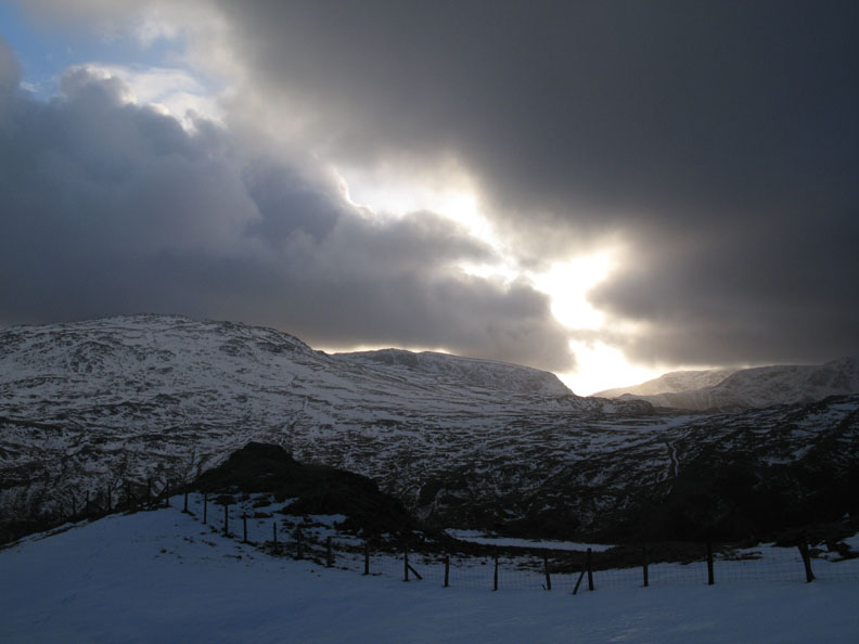
The snow line is about 1900ft (approx 600m) and forms a dramatic line across the high fells. Due to the freeze and thaw of recent weeks, the high fells are very icy in places.
A burst of afternoon sun on the side of Mellbreak and on the peak of Blake Fell, the highest point in the distance.
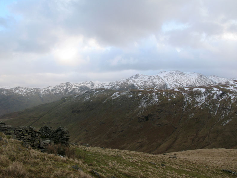
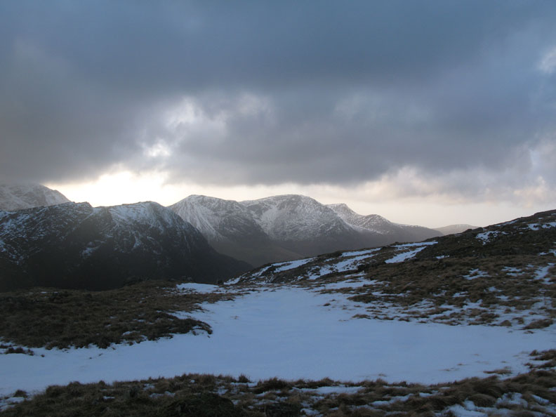
The rough and craggy ridge of Glaramara at 2500 ft still has a good covering of snow.
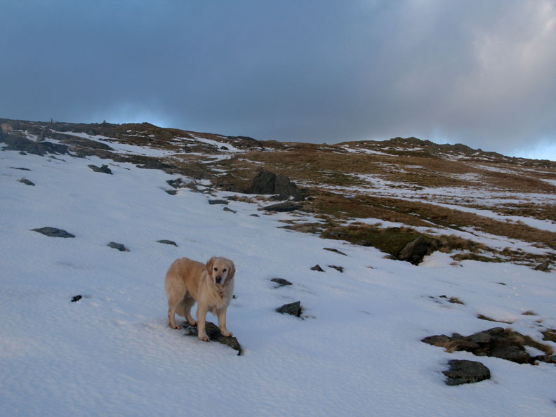
We reach the snow line after the first part of the climb. The snow is patchy and wet with plenty of run off making the ground soggy.
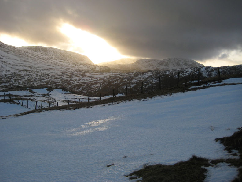
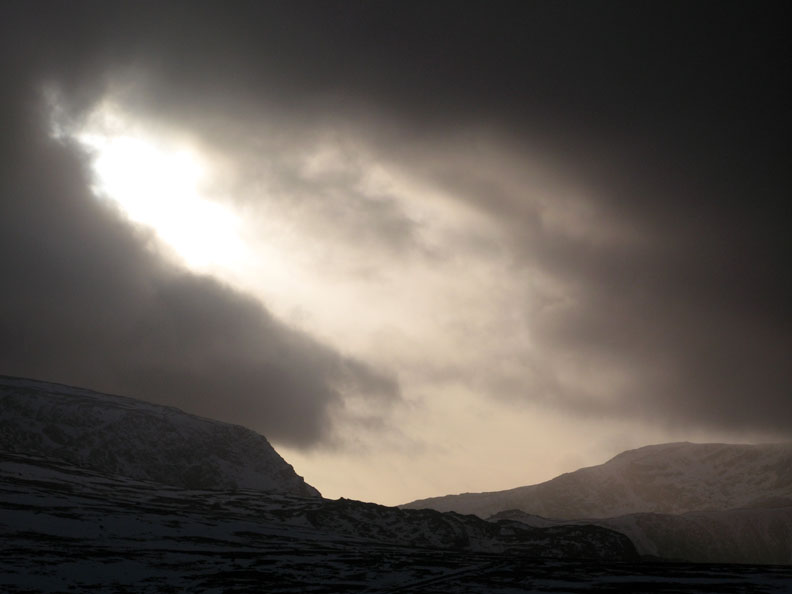
The late afternoon sun suddenly bursts through a gap in the cloud with dramatic effect.
A streak of brightness from bright yellow to blue sky above Brandreth as the clouds change shape in the strong winds up there. At our level the wind is just a strong breeze thankfully.
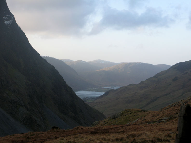
A close up study of light and shade over the Dram Road (the black line at the bottom), Kirk Fell and Pillar Fell beyond.
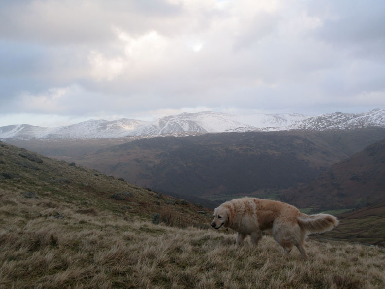
As a result of that sunburst Harry, and the fell on this side of the valley, have a lot more colour.
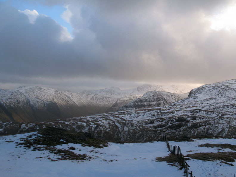
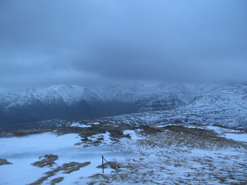
Climbing alongside the fence, navigation is easy all the way to the summit. Bowfell and Esk Pike opposite are clear but the cloud is down on Great End and the Scafells.
Fleetwith Pike and the High Stile Ridge taken from above the old Yewcrag Quarries.
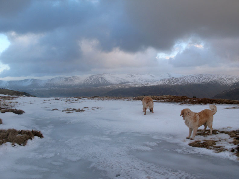
A frozen peat bog, hardly a tarn, on the more level ground near the top.
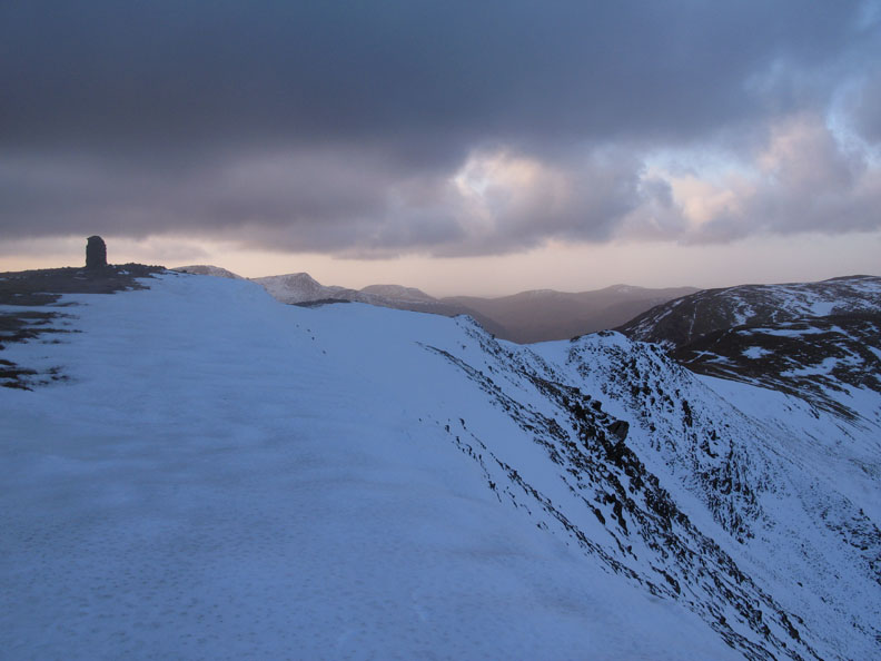
What you climb for . . . the view from the top as you crest the summit. Below is the southern arm of the Newlands Valley with Skiddaw and Bencathra in the distance.
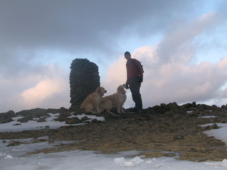
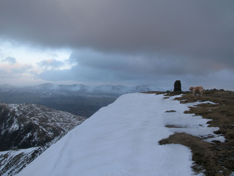
A summit photo of myself and the dogs next to the big cairn. There's large patches of ice up here but they can be easily avoided.
Standing on solid ground, a picture of the cornice as it spreads north west towards Hindscarth.
A wider shot including a full view of Hindscarth, Robinson and the north western fells.
Walking a short distance the other way, a view across to the Helvellyn Ridge.
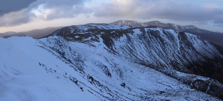
Back to the summit and the chance for a panorama shot before the light goes. Click here or on the photo above for a "380" degree annotated panorama . . . In reality there's only one summit cairn I promise !
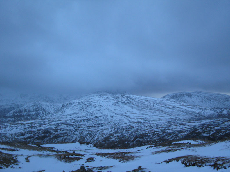
Time to go now and follow that fence line back down before the light fades. Great Gable and the Scafells behind Brandreth are looking decidedly uninviting.
A final shot as I pass the frozen bog that the dogs skated on during the walk up. - - - o o o - - - |
Technical note: Pictures taken with with my Cannon G7 or Ann's Ixus 75 Digital camera. Resized in Photoshop, and built up on a Dreamweaver web builder. This site best viewed with . . . an awareness of time. © RmH.2009 # Email me here # or leave me a Guest Book Entry Previous walk - 21st January 2009 Crummock Water and a Swan A previous time up here - 29th March 2005 Dale Head, Grandchildren and Industrial History
|