![]()

Remember: Press F11 for a full
screen view of this page.
|
|
|
Remember: Press F11 for a full
screen view of this page. |
| Date & Time: Saturday 27th September 2008. 11.30 am start. Location of Start : Whicham, South Cumbria, Uk. ( SD 131 828 ) Places visited : The rising path to Black Combe, returning by the southern cairn plus a diversion at the end to Seaness bluff to see the sea ! Walk details : 4.5 mls, 1900 ft of ascent, 3 hrs 55 mins. Highest point : Black Combe 1950 ft ( 600m)Walked with : Jo, Ann and the dogs, Jodie, Harry and Bethan. Weather : Sunny, warm but hazy but with cloud in the summit which altered everything. Parking for one (maybe two) at the start of the Bridle way to Black Combe |
|
|
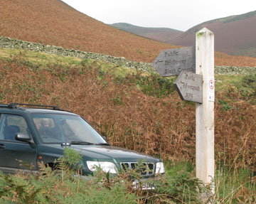
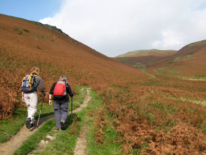
Jo has often mentioned that she would like to walk Black Combe, the most south western of the fells of Cumbria, so with sunshine and light breezes we drove south hoping for easy walking and nice views. Having been before, we found that small patch of land, just at the start of the walk, on which to park the car.
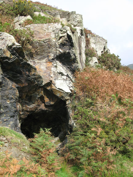
The water level reached the back wall within ten feet, and it didn't seem too deep, so I presume it was a trial entrance for a drift mine that came to naught.
Back to the walk itself, the weather was fine and sunny, if rather hazy distant views. I packed the sunglasses, but there was no chance of a view of the Isle of Man today. It was out there somewhere in the bright haze.
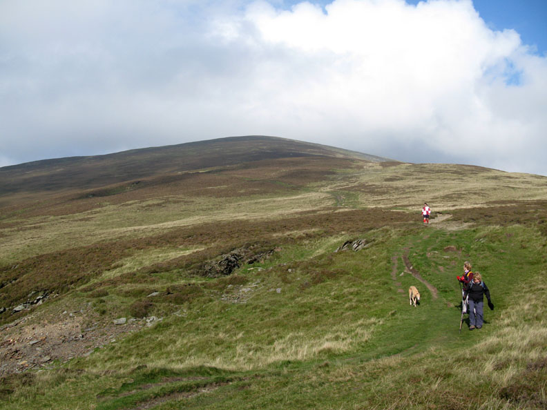
The path up Black Combe from Whicham is simple and straight forward.Go to the end of the road, through the fell gate, and keep going. Pay attention near the top as the path actually bypasses the summit cairn.
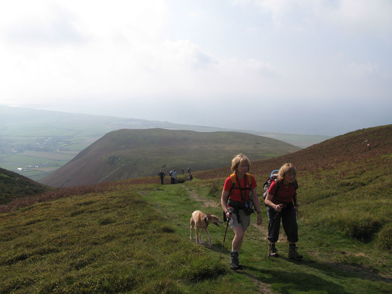
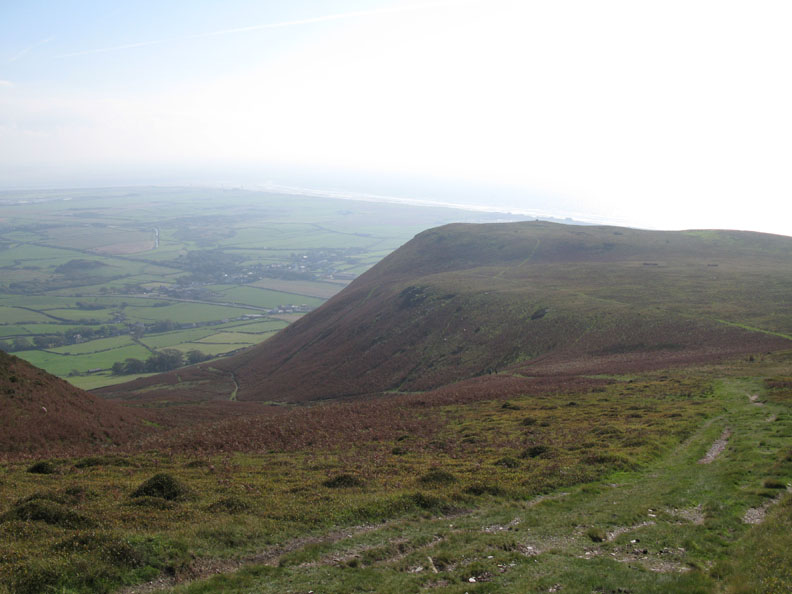
A short time later we climb above the bluff shown on the map as Seaness. It looks nice so we make a note to divert over to the minor cairn on the way down. The sun is warm and trouser legs have been shed in favour of shorts - great these zip of trousers - very practical.
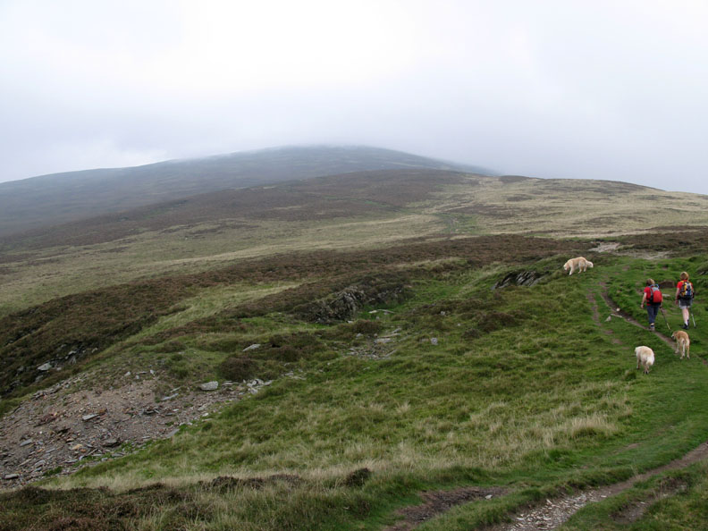
We pass another man-made hollow, perhaps another trial dig for minerals, as we make our way towards the top. The path reminded me a little of the Pony Track up Skiddaw . . . a steady but gentle climb that leads inexorably upward, albeit to two thirds of the height.
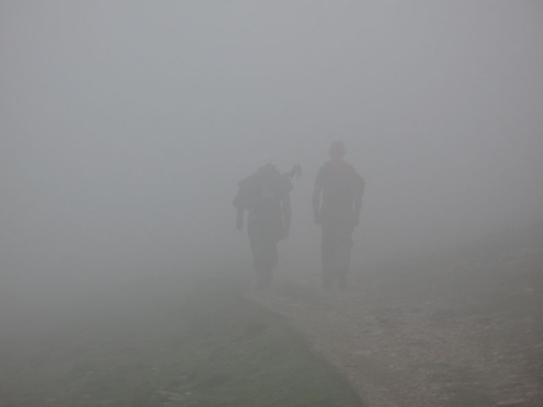
That sunshine seems to have disappeared and as we climb higher the cloud has come down to meet us. Those shorts are not quite so warm now in this damp air.
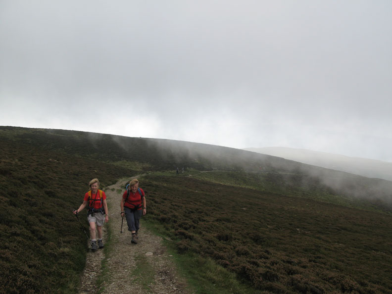
Oops . . . did I say the cloud had come down ? A Gps would have been a better option than the sunglasses that I had packed today.
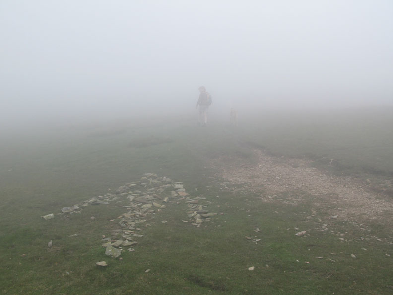
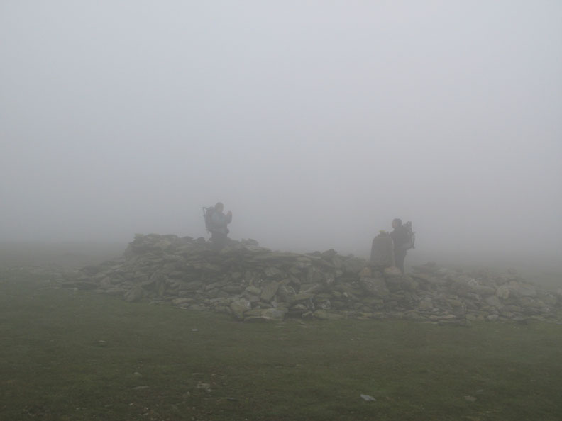
Don't panic . . . the route is straight forward . . . there was even a big hint as to when to leave the path and make for the summit trig point !
We had planned to walk Black Combe in the sunshine, to enjoy the view of the crags and of the Cumbrian fells away to the north from where we were standing. Unfortunately the weather had other ideas, so it was seated in a cold lunch spot protected by the extensive summit shelter, that we enjoyed our sandwiches.
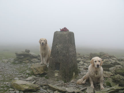
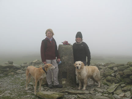
A short walk down wind confirmed that we couldn't see over the crags, so we returned to the summit trig point then made our way south across the top of Black Combe towards the southern cairn.
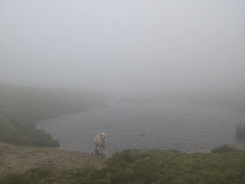
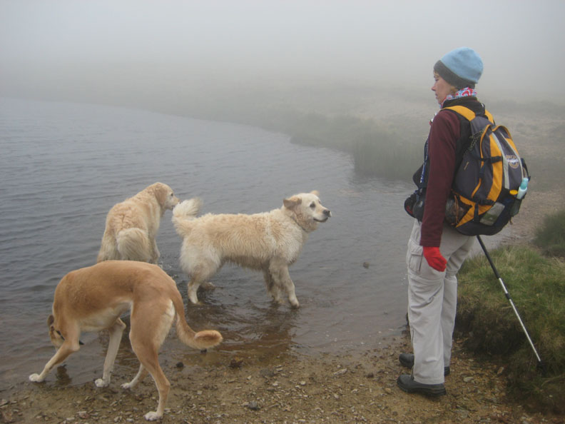
On the way, the small tarn shown on the map between the two summit tops.
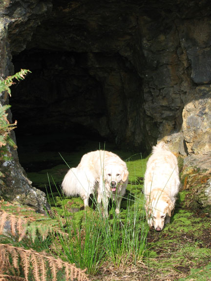
Harry found it first in the mist and he was soon joined by Bethan and Jodie. Jo declined to follow them into the water
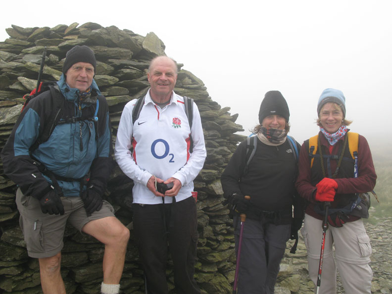
At the southern cairn we met this guy called Bob who was up with his family and friends. A little navigation advice allowed him to hopefully understand his Gps better and together we walked the short distance across to the large southern cairn. Gloves, hats and buffs used as neck warmers after our cold visit to the summit. (photo by one of Bob's walking companions)
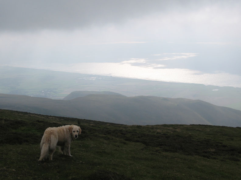
Strange cloud formations below us as we make our way down turn out to be reflections from the sea dappled by the cloud formations above.
Once you get the idea it all looks so obvious.
That's better . . . out of the cloud, back into the sunshine and lovely warm air. Behind, a fellow walker Andrew, who we chatted to on the way down . . . hope your ankle is better now !
The main path led back down to the car, but we took a diversion to the right to walk out to get a view of the sea.
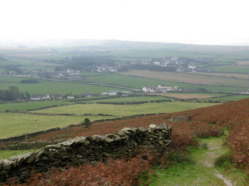
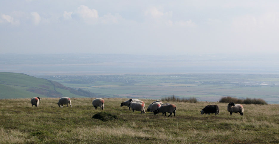
The Millom Estuary and a hazy view of the village . . . with some sheep in the foreground to add something more distinct !
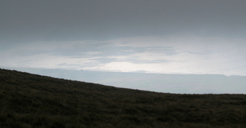
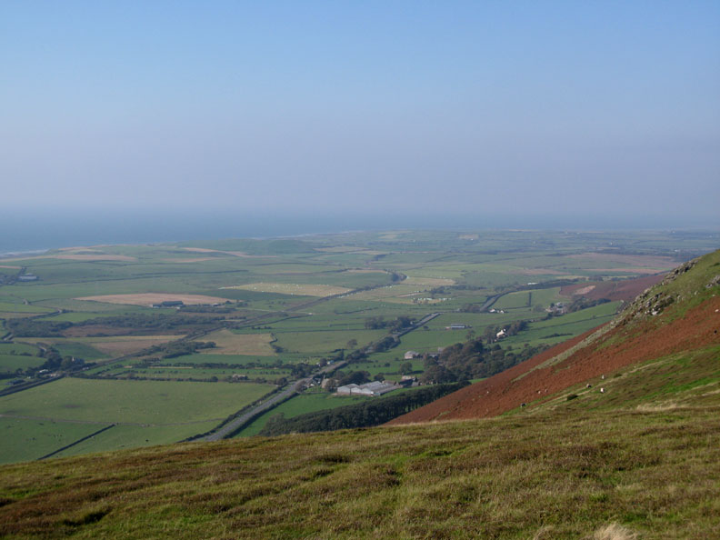
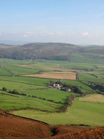
From that bit on the map marked as Seaness we got our more extensive view up and down the coast.
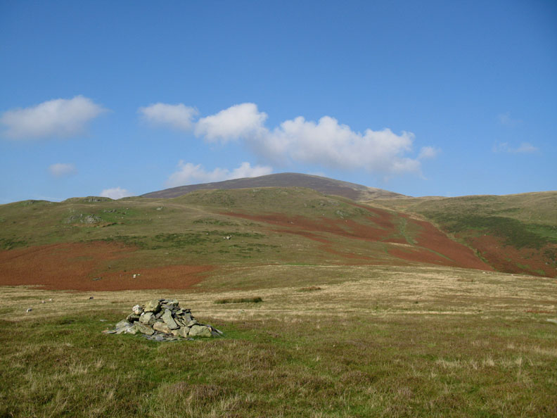
The minor cairn that attracted us across while we were walking up. Now we are down the summit looks clear . . . b**** r.
A great little walk that took us up a classic outlying fell. Pity about the poor conditions on top. Still it will be an excellent reason to repeat the walk and thereby not leave it another five and a half years before we climb it a third time.
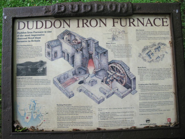
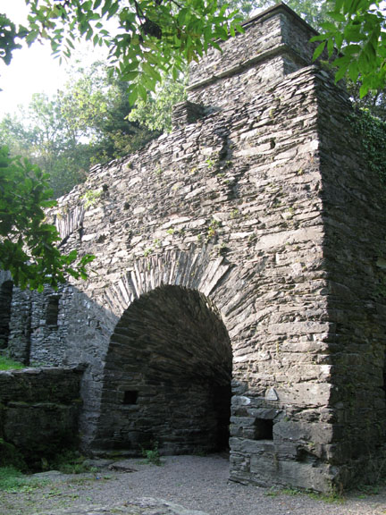
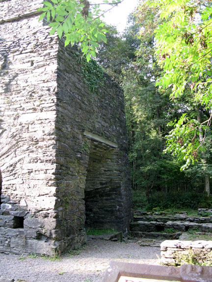
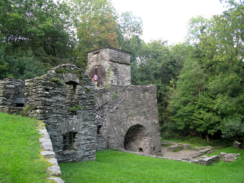
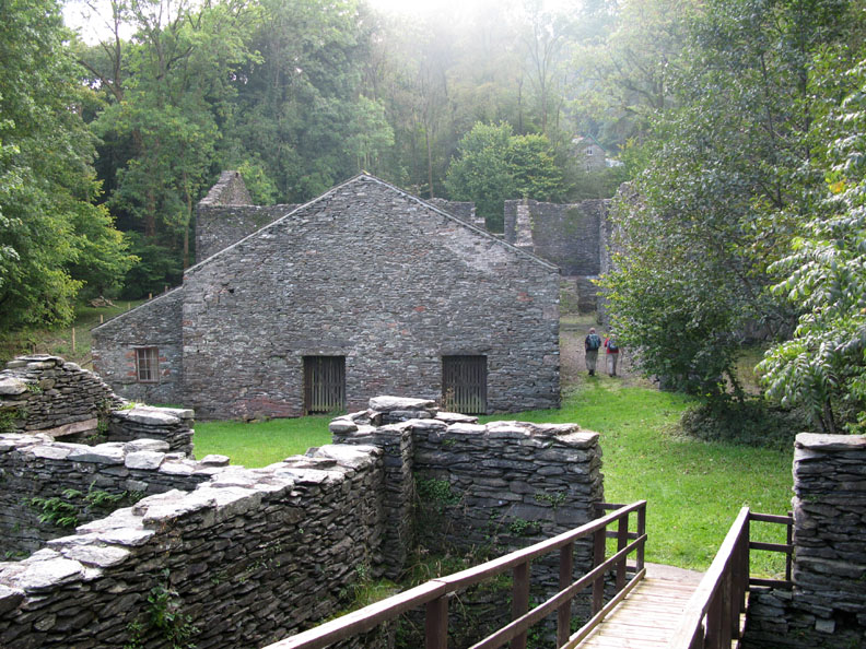
On the way back we took a slight detour in order to drive the Corney Fell Road around the back of Black Combe. At the Broughton River Bridge over the River Dudden we turn left and pass the site of the old Duddon Iron Foundry.
The site has been resorted and is now overseen by the National Park authorities.
The raw material store rooms at the back of the site. They stored iron ore, charcoal and limestone prior to loading into the furnace. It is thought that the coppicing of the woodland of the Duddon Valley for this and other furnaces meant that the woodland was commercially maintained rather than totally cleared. Today the Duddon Valley still benefits from quite a dense tree population compared to other areas of the Lakes.
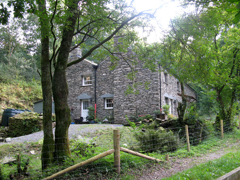
When we were here last, this was a derelict cottage deep in the overgrown woodland, complete with a tree growing up through the middle of the stonework. The old cottage and land had been bought for a six figure sum and a new property has risen from the ruins and has provided someone with a delightful new home. - - - o o o - - - |
Technical note: Pictures taken with my Cannon G7 or Ann's Ixus 75 Digital cameras. Resized in Photoshop, and built up on a Dreamweaver web builder. This site best viewed with . . . a cloud free summit. © RmH.2007 # Email me direct # Add to my Guest book (front page) Previous walk - 21st September 2008 Scafell Pike 3 Peaks Challenge A previous time up here - 14th April 2003 Black Combe with Ian, Cory and Megan
|