![]()

|
|
|
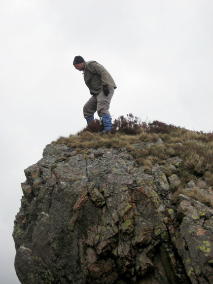
| Date & Time: Wednesday 30th April 2008. 11.45 am start. Location of Start : Bleach Green car park, Ennerdale Bridge, Cumbria, Uk. ( NY 085 153 ) Places visited : Angler's Crag, The Pinnacles, Crag Fell, Grike, back down via Crag Farm woods. Walk details : 3.75 mls, 1550 ft of ascent, 3 hrs 10 mins. Highest point : Crag Fell 1,710ft ( 523m )Walked with : Frances, Ann and the dogs, Harry and Bethan. Weather : Rather grey, cloud on the high fells, humid with a strong breeze, but clearing nicely. Myself at the Pinnacles as we ascended Crag Fell |
|
|
Today we drove over to Ennerdale to climb Crag Fell and Grike. Frances wanted one last walk before she returned home.
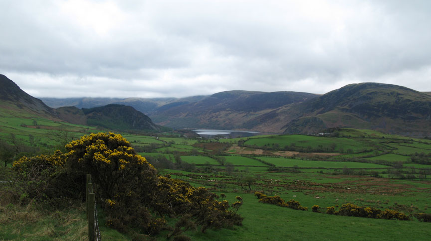
This was the view as we crossed the fell road from Lamplugh. Crag Fell is the rounded fell to the right hand side. Grike is out of view further right again.
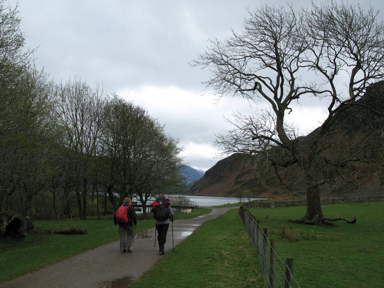
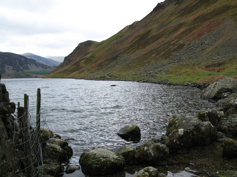
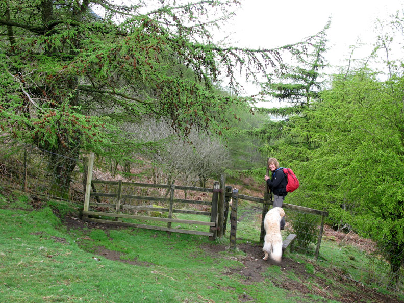
Parking the car at the foot of the lake, we started our walk by taking the wide path towards the weir.
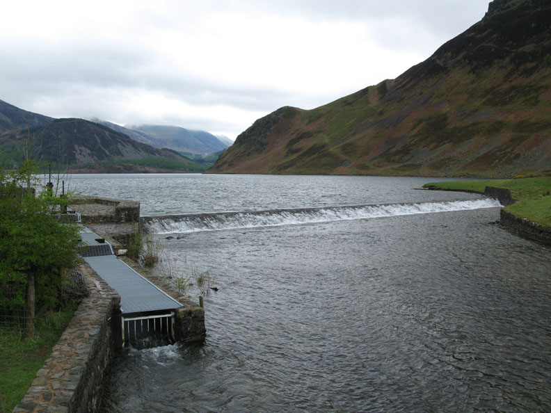
A low weir increases the level by a metre, the fish ladder to the left hopefully allows the fish to swim up into the lake as before.
Our path works it's way alongside the lake till it breaks off to climb up to Angler's Crag.
Looking back down towards the weir, and beyond it to St Bees headland and the coast.
Ahead, the last steep section to Angler's Crag.
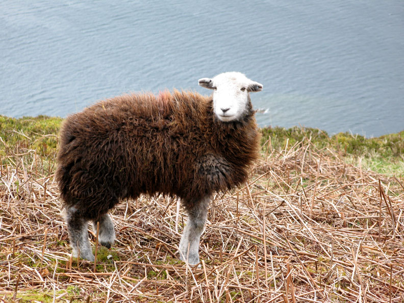
A yearling Herdwick sheep on top of the crag.
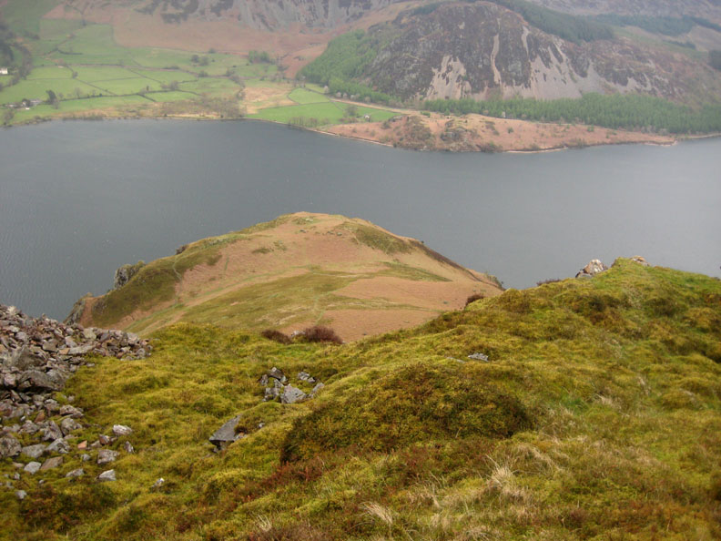
Onward and upward, here looking back at the top of the Crag where we exchanged glances with the sheep a short time ago. Opposite is the heather covered Bowness Knott and the valley car park on the northern side of the lake.
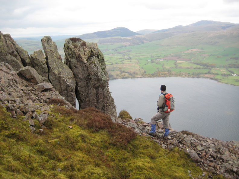
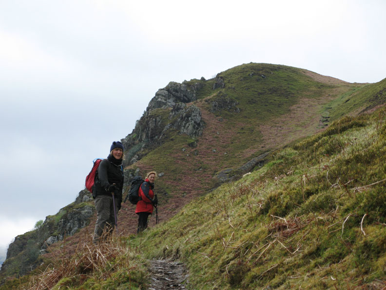
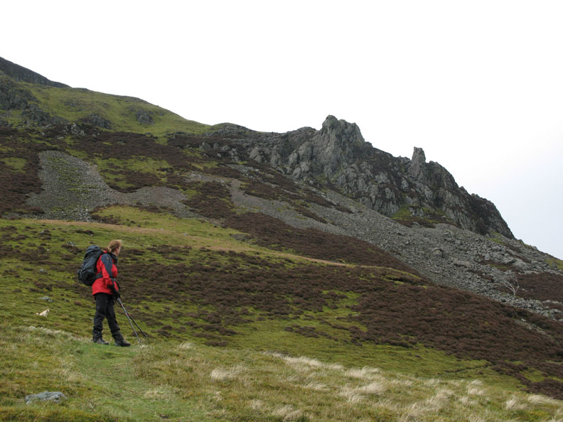
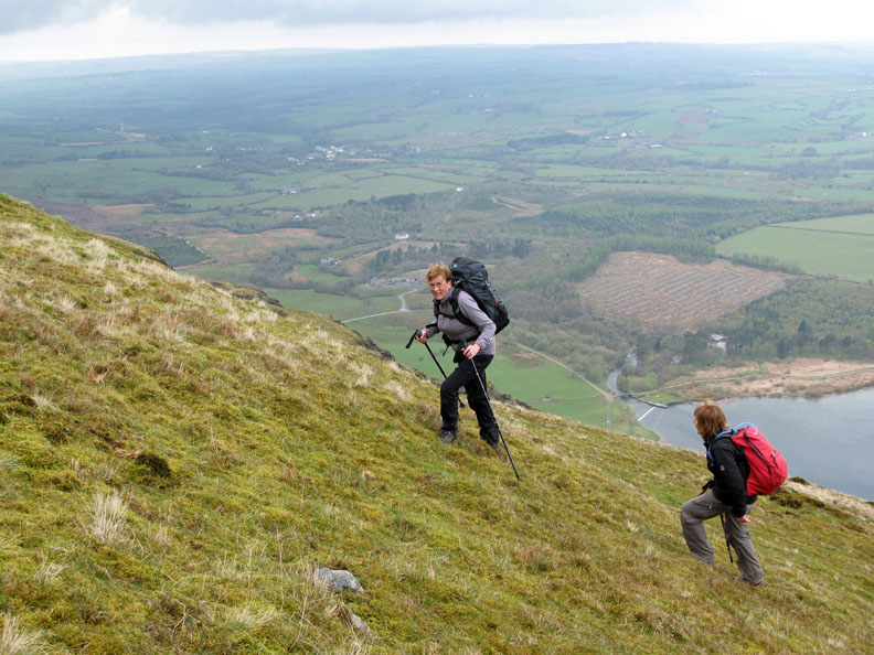
Frances looks up at the Pinnacles . . . nearly there now.
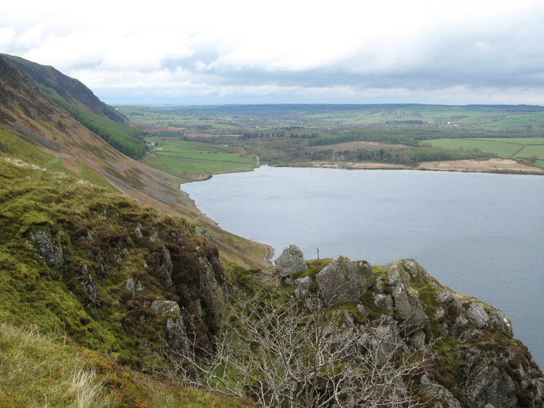
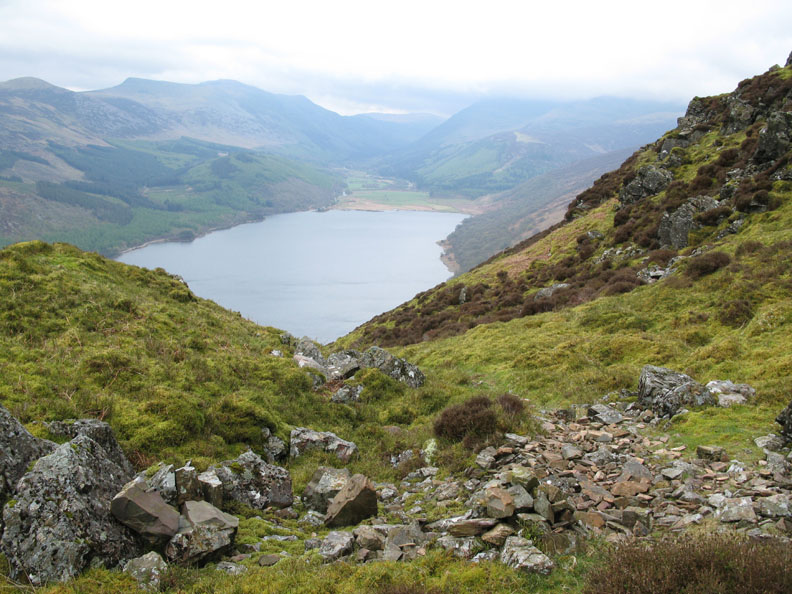
Looking back from the V shaped indent behind the Pinnacles, the cloud is just touching the tops of the high fells at the head of the valley.
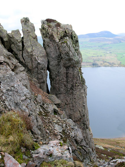
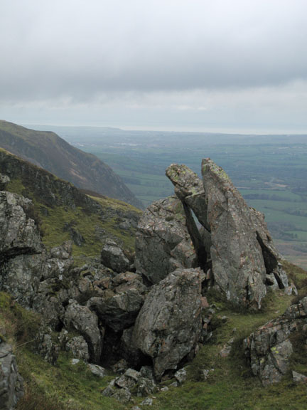
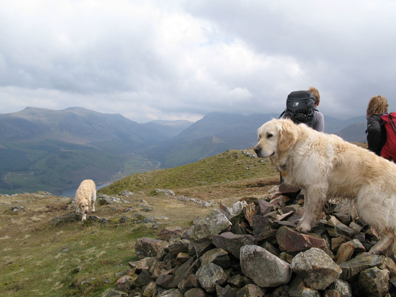
The Pinnacles are a series of free standing rocks on the side of Crag Fell. In the distance Knock Murton with Blake Fell, the highest of the Loweswater Fells to the right.
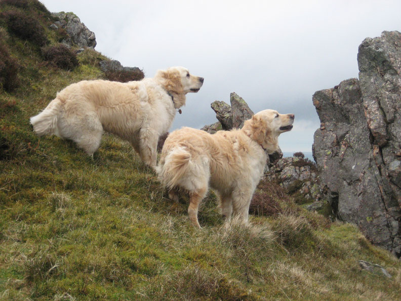
Harry and Bethan find something to shout about !
So much for attempted humour, we leave the rocks behind and head up the last part of the fell towards the summit.
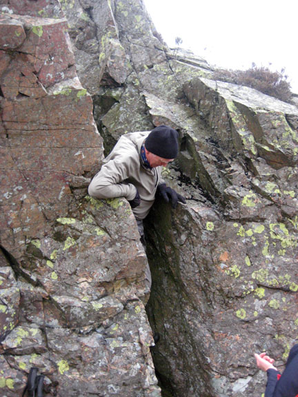
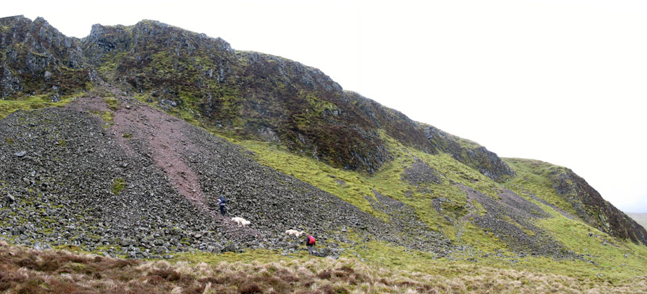
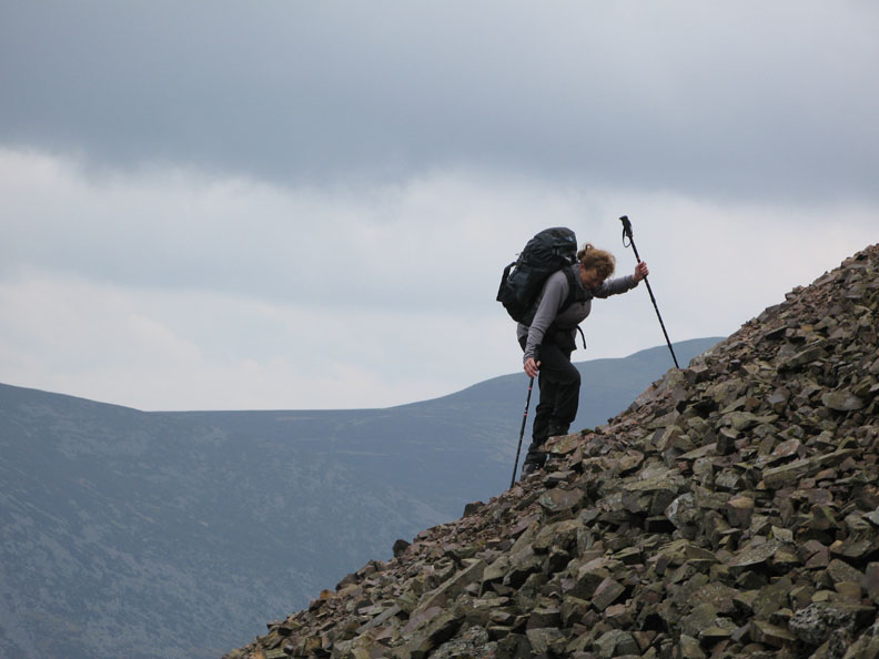
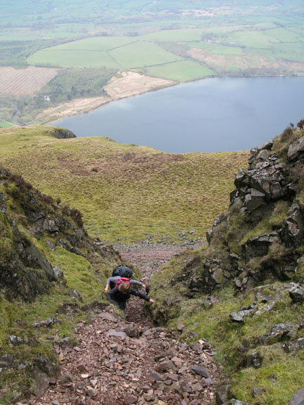
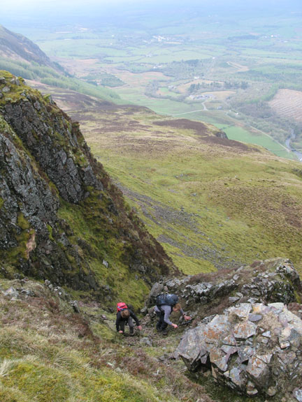
We decided to attempt the "Paterson Deviation". The normal route is up the grass to the right but today we'll go for the rock filled gully on the left, for a change.
Frances showing a more unusual Scottish stile of trekking pole technique on the steep ascent. Ann and I took the easier option up the grass alongside the stones so missing out a large part of the scree !
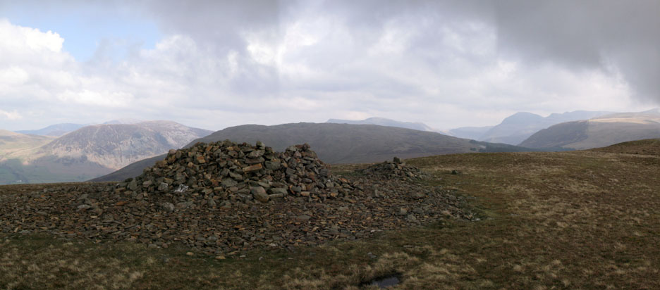
Harry claims first to the cairn but Ann and Frances prefer the view looking up Ennerdale Valley.
After lunch we set out for our second summit, that of Grike Fell a short distance to the west.
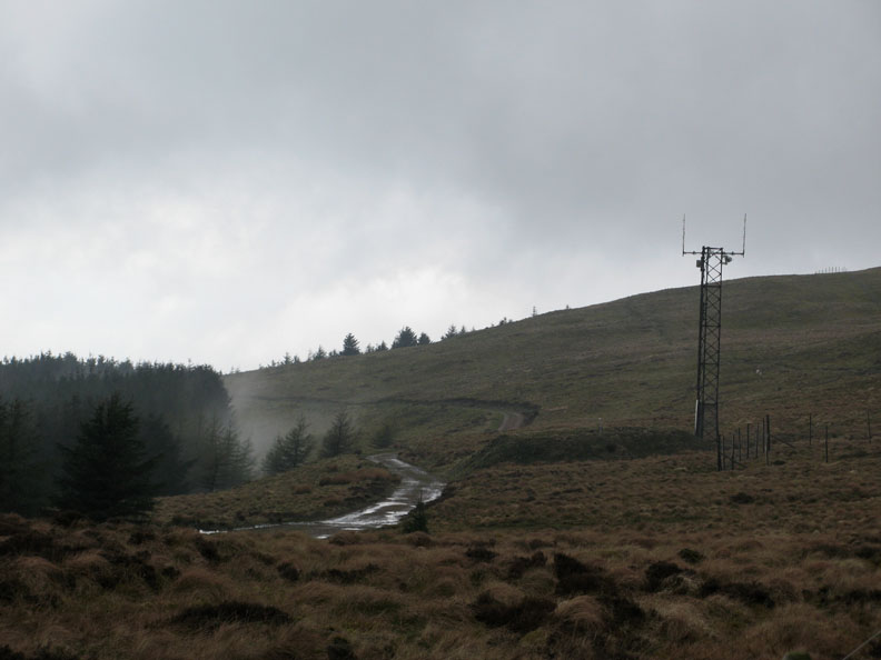
With very humid conditions, the forest still held some low cloud, which occasionally escaped out onto the open fell in dramatic style. Here we are passing the weather station and radio mast on the way up Grike.
The large summit shelter from the summit cairn on Grike. The weather seems to be improving now as the clouds have lifted and some sunshine is in evidence.
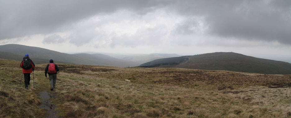
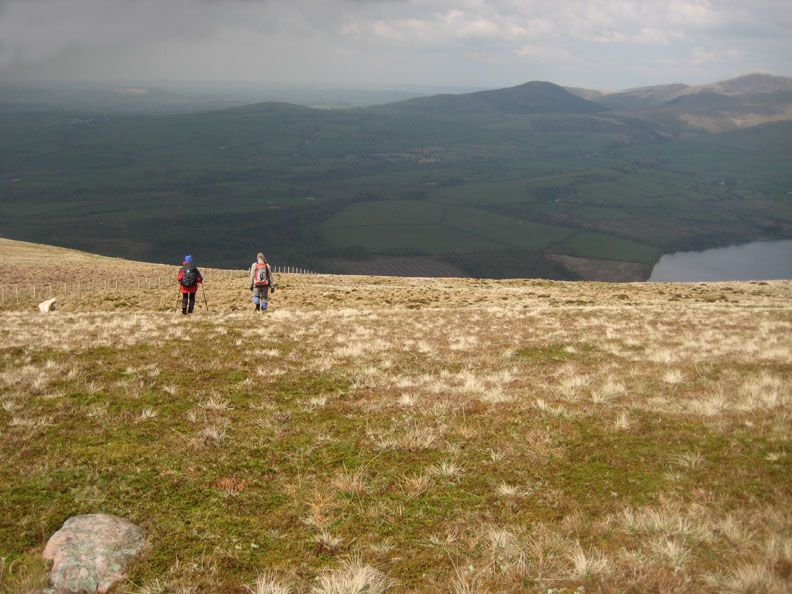
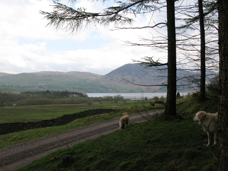
Following the fence line makes navigation easy as we start our decent back to the car.
The photo doesn't really show the steep nature of the slope. The bright grass marks the location of an old spoil heap, one of several small industrial workings shown on the map on this part of the hillside.
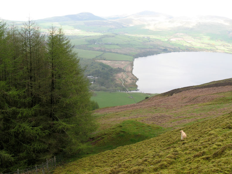
The forest gate offers a good footpath and an easier descent for the last section before the valley.
Out of the trees and onto the forestry track.
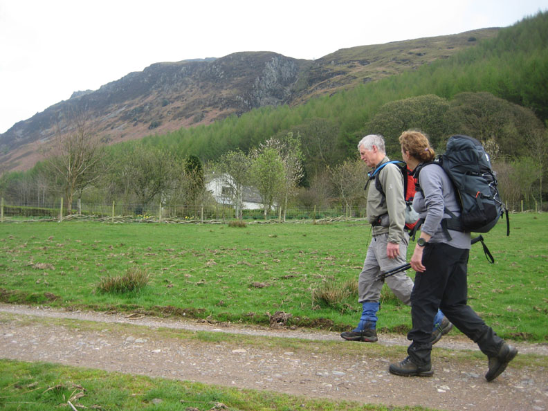
A short walk took us back to our start point after a great three hour walk on the fells.
|
- - - o o o - - - Technical note: Pictures taken with my Cannon G7 or Ann's Ixus Digital cameras. Resized in Photoshop, and built up on a Dreamweaver web builder. This site best viewed with . . . a friend from over the border. © RmH.2007 # Email me direct # Scribble in my Guest book (front page) Previous walk - 29th April 2008 A view of Scotland for Frances A previous time up here - 7th May 2004 Crag Hill & the Pinnacles with a young dog
|