![]()

|
|
|
|
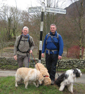
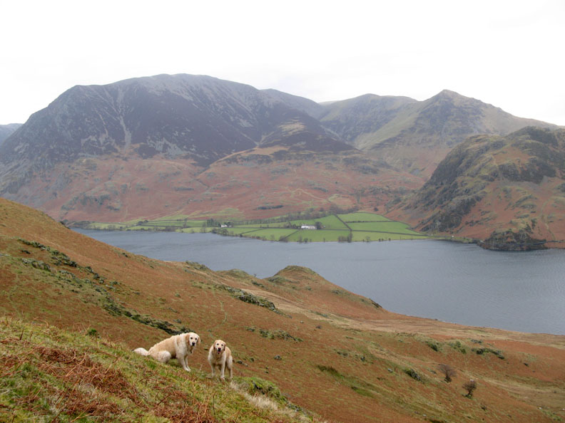
Date & Time: Monday 25th February 2008. 10.20 am start. Location of Start : The red phone box, Loweswater, Cumbria, Uk. ( NY 143 211 ) Places visited : Kirkgate Fm, Dropping Crag, Mellbreak (north), Mellbreak (south), Scale Knotts, High and Low Ling Crags and back along the lake, High Parka nd Low Park. Walk details : 5.5 mls, 1775 ft of ascent, 3 hrs 55 mins. Highest point : Mellbreak Summit 1676 ft ( 512m )Walked with : Sean and Ann, plus the dogs, Casper, Harry and Bethan. Weather : A cool grey start, but forecasted to worsen after lunch to rain and buffeting winds. Sean, myself and the three dogs at the Kirkstile Negative Signpost [ Photo by Ann of course ] |
|
|
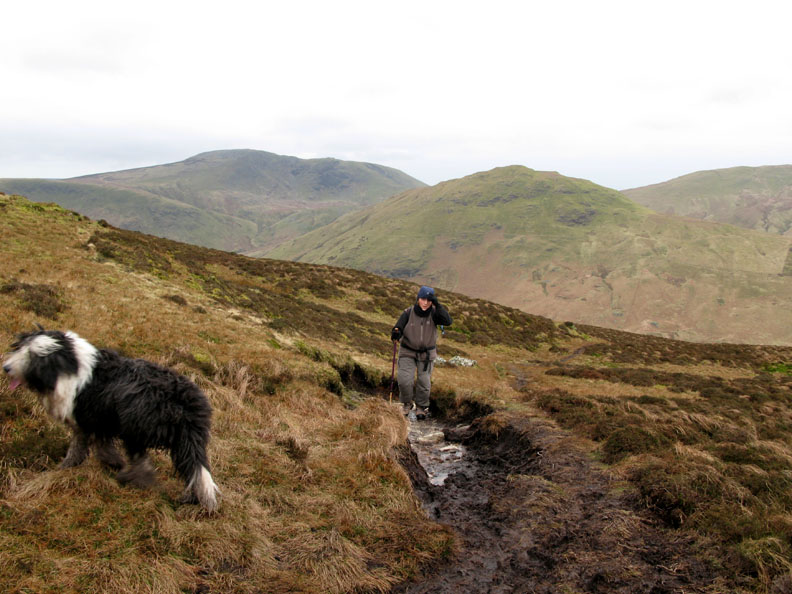
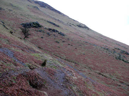
We started this walk in windproof gear but packed the waterproofs in view of the forecast. We certainly needed them by the end, and sometimes a large anchor would have helped !
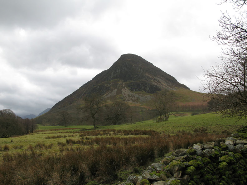
The objective of today's walk was to enjoy a pleasant outing with Sean. Mellbreak seemed a good choice as he hadn't done it for a while, He was in Loweswater as he had a photo to deliver to us today. :o)
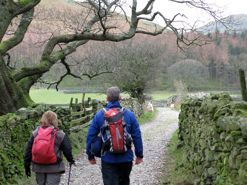
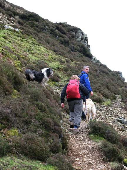
Sean and Ann set off up the lane from Kirkhead towards Mellbreak.
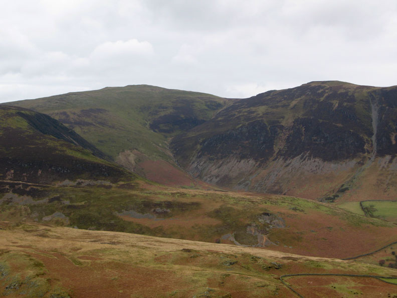
One great thing about the direct northern ascent of Mellbreak is the view. Here we are looking across at Blake Fell and the old mine workings on the flank of Black Crag.
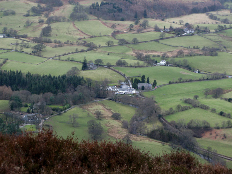
Down below us, the Kirkstile Inn that we passed earlier.
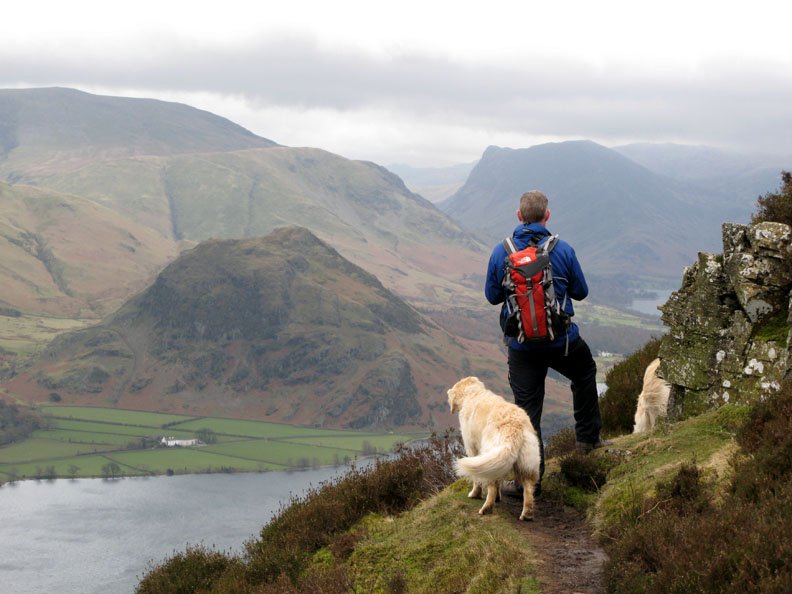
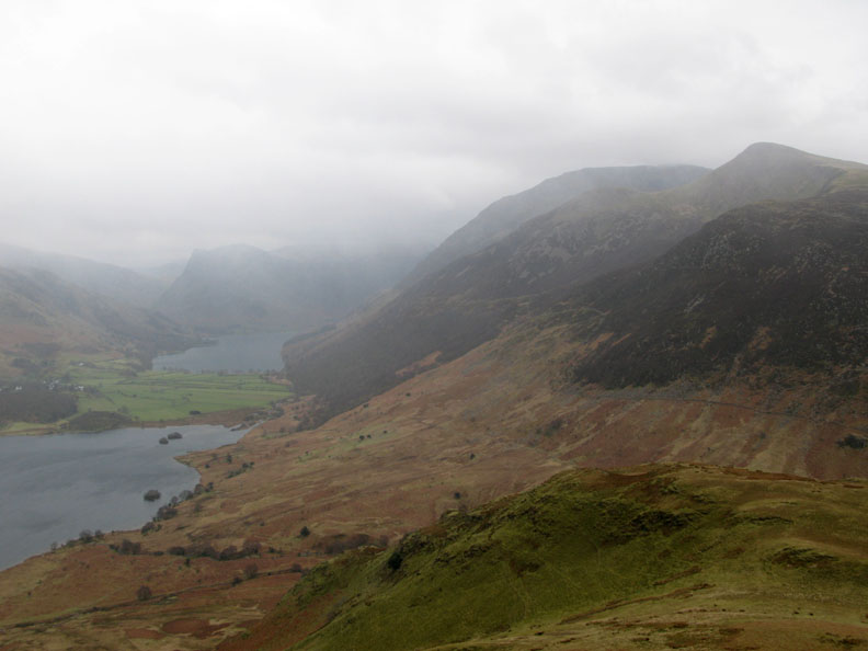
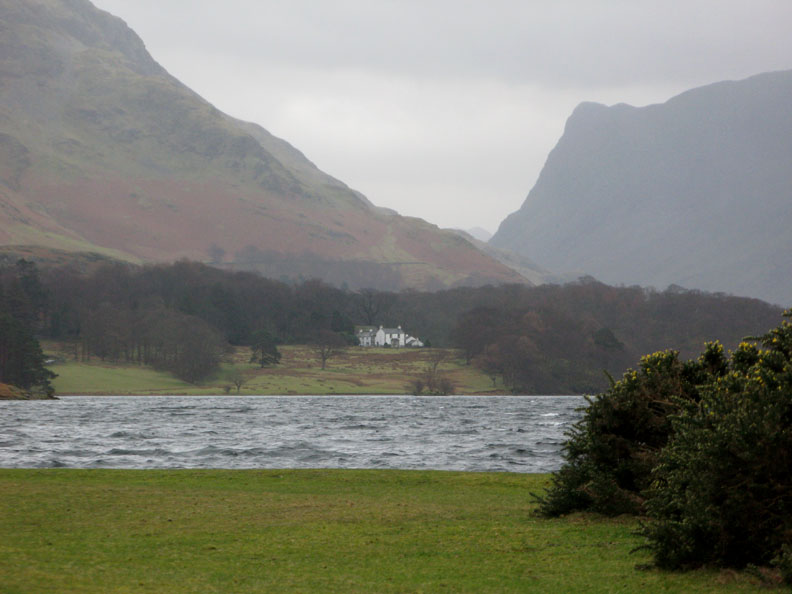
Sean has found a different view, the classic one up Buttermere Valley.
Looking up to Fleetwith Pike from the first of the two cairns.
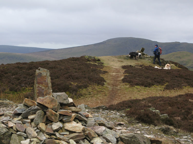
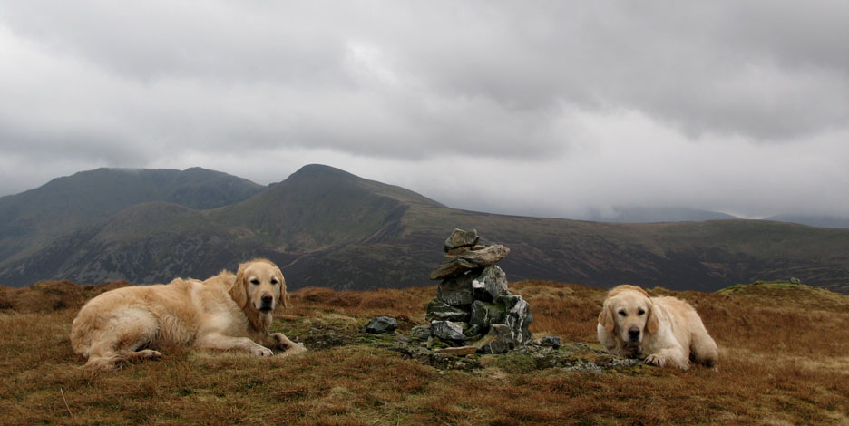
Sean, Casper, Harry and Bethan are over at the other one.
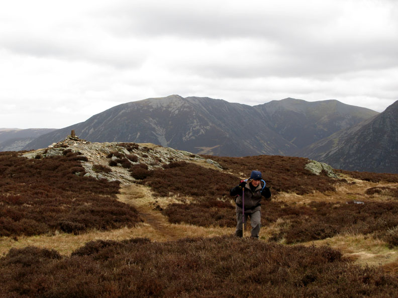
The wind is getting up and now we've reached the top it's a lot stronger as Ann is finding.
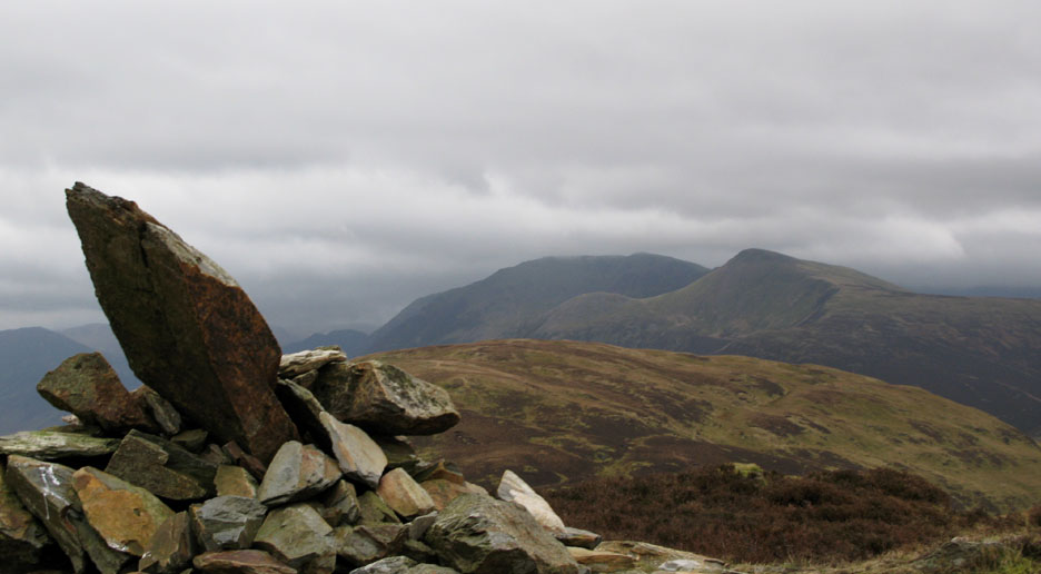
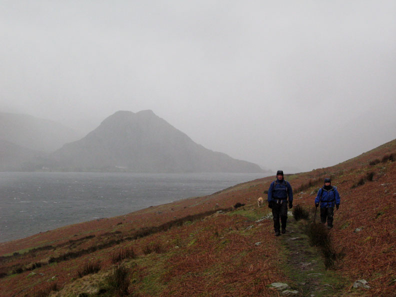
Red Pike and High Stile from the second cairn. It's looking a little grey up there and that cloud level is dropping.
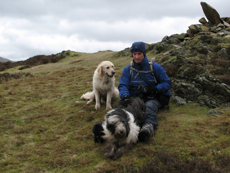
A quick photo break in the shelter of the summit rocks.
Great Borne and Hen Comb form the backdrop to Ann's epic struggle across the top of Mellbreak's whale back ridge in the strong wind. (Ok, I exaggerate a bit )
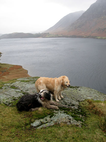
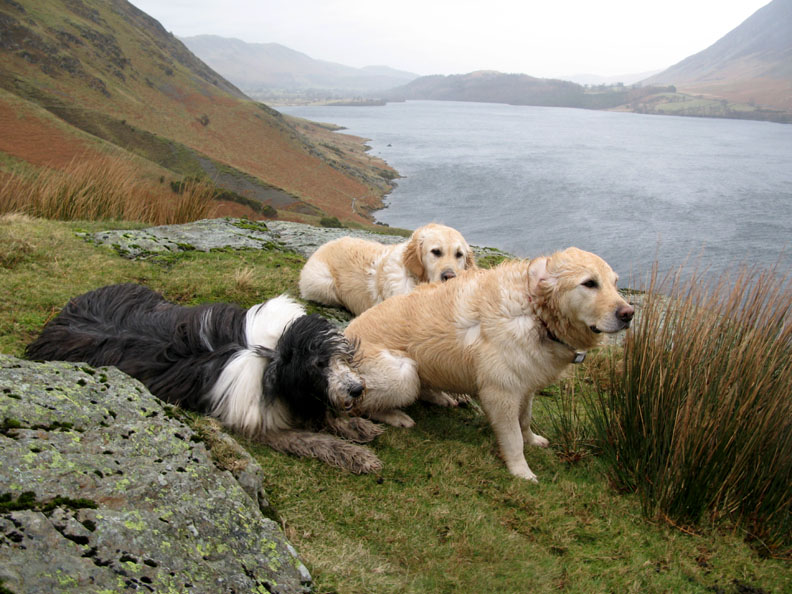
Harry and Bethan keeping low in case that top stone gets blown off it's perch.
Confirmation, if we needed it, that the weather forecast for today was accurate.
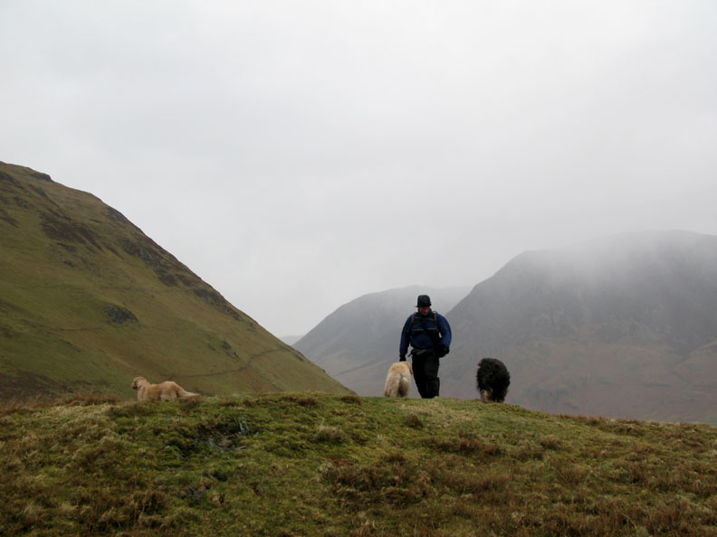
After the briefest of diversions to bag the summit of Scale Knott ( a Birkett summit Sean says) it was time to put on those waterproofs.
Now the wind has occasional drops of cold damp precipitation within it, some of them are icy too I'm sure. However, on the Crummock Lake side of the fell we are out of the worst of the wind.
Trying to get three dogs in one picture is sometimes difficult. Trying to take a picture of them in this wind is an even greater one, especially when you're only ten feet from a big drop !
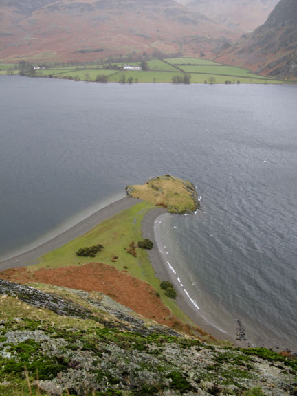
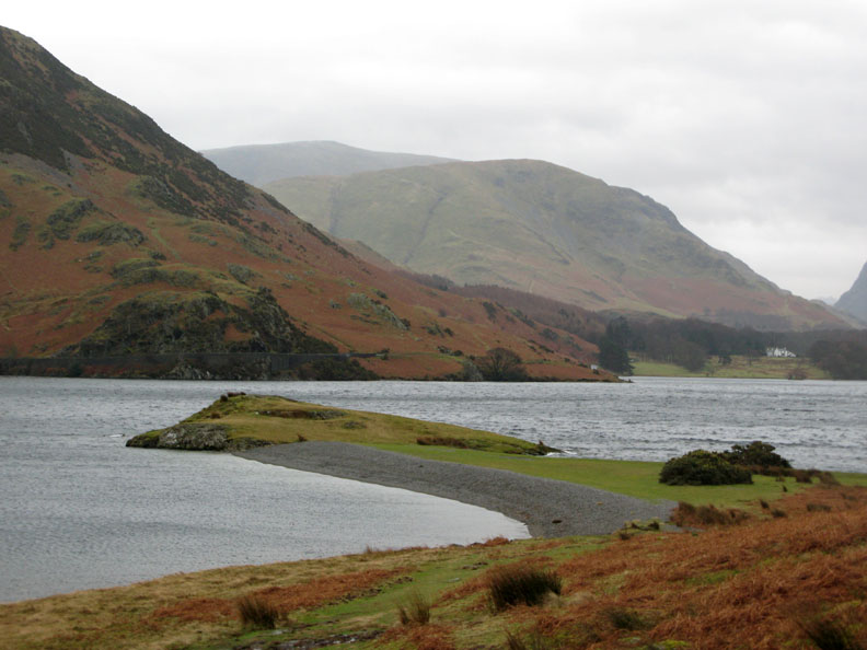
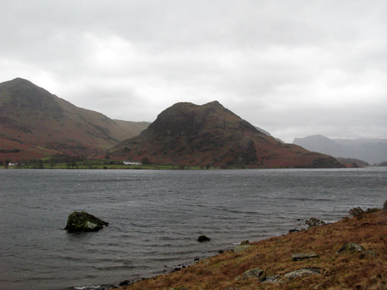
High and Low Ling Crags are a geological extension of the hard rock that forms Rannerdale Knotts opposite.
A great place for a swim on a warm summer day - but not today thank you !
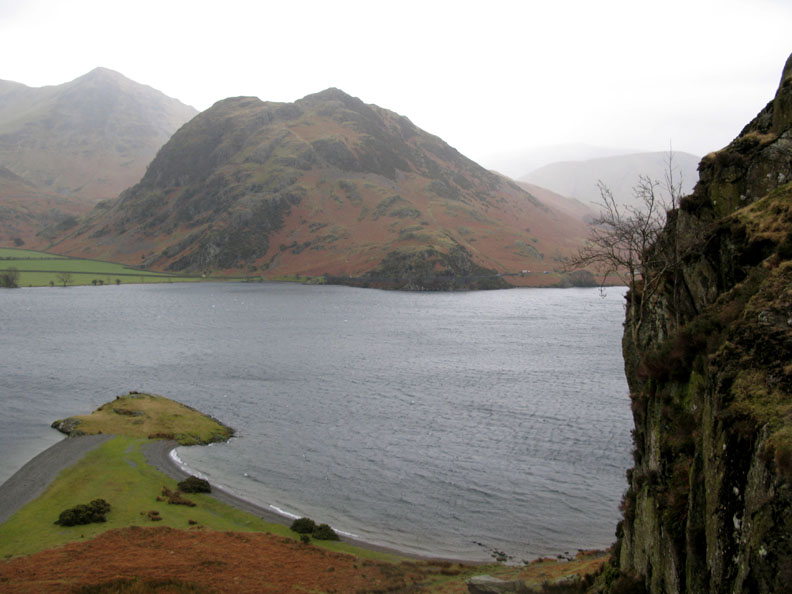
Wood House on the opposite shore. One of the bumps of Glaramara peeps out above Honister Pass
White horses starting to form on the lake. Some of them were even being carried as spray in the strong wind.
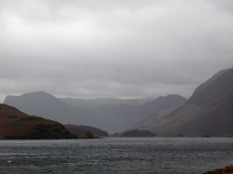
That weather isn't getting any better. I'm glad we're walking with the rain on our backs.
So would you be ! |
- - - o o o - - - Technical note: Pictures taken with my Canon G7 or Ann's Ixus Digital cameras. Resized in Photoshop, and built up on a Dreamweaver web builder. This site best viewed with . . . those waterproofs we left at home on last weeks walks. © RmH.2007 # Email me here # Guest book (on the front page) Previous walk - 19th Feb 2008 An afternoon on Middle Fell A previous time up here - 18th Feb 2005 Melbreak and Scale Force with Ben and Sarah More of today's pictures from Sean's Striding Edge web site
|