![]()

|
|
|
|
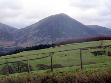
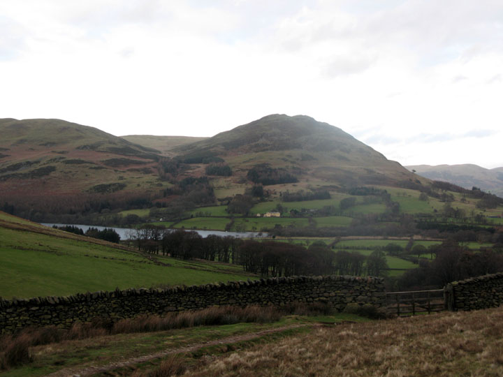
Date & Time: Thursday 24th January 2008. 3.15 pm start. Location of Start :Maggie's Bridge car park, Loweswater, Cumbria, Uk. ( NY 135 210 ) Places visited : Maggie's Bridge High Nook Farm, High Nook Tarn and back. Walk details : 2.4 mls, 400 ft of ascent, 1hrs 30 mins. Highest point : High Nook Sheepfold 750 ft ( 230m)Walked with : Ann and the dogs, Harry and Bethan. Weather : Dare I say it . . . Blue skies amidst high cloud. Cold and breezy. Grasmoor from High Nook showing today's improved weather
|
|
|
Amidst all the inclement weather, it has not been all doom and gloom. Today there was a period of better weather forecast for the afternoon so the walk was delayed accordingly.
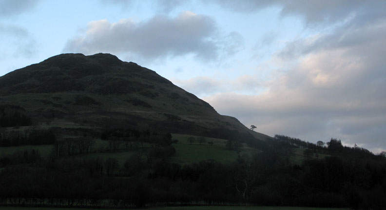
Low Fell from the meadows soon after leaving Maggie's Bridge. Note: Yes . . . that is blue sky above the mountain !
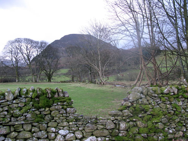
Recent frosts and damp weather has caused the wall to collapse. Mellbreak is pictured beyond, if not actually framed by the hole.
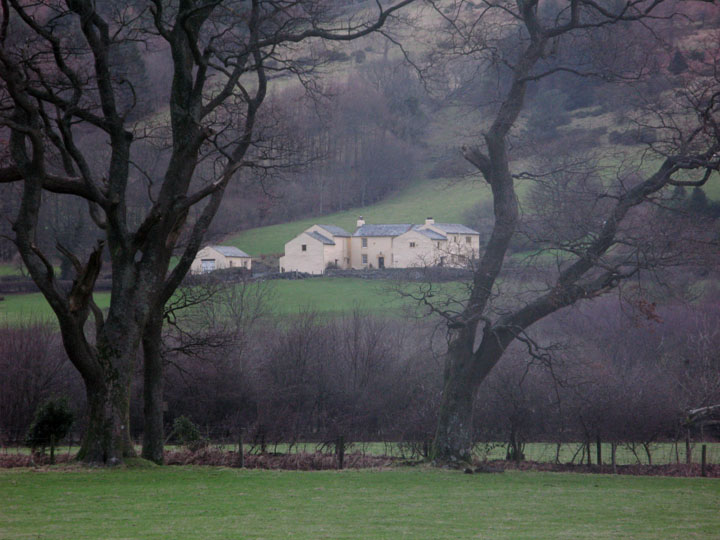
High Thrushbank farm buildings. No longer a working farm, it is privately owned and the fields rented out to other farmers locally.
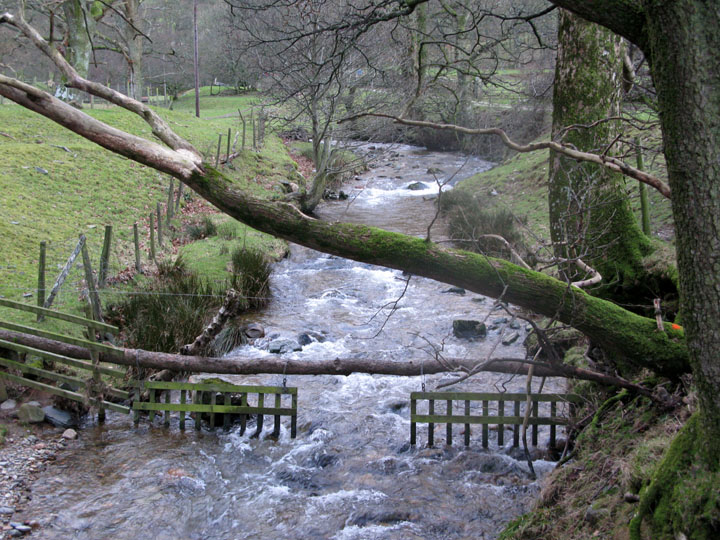
High Nook Beck, and a hanging fence designed to discourage the sheep from moving up stream to the next field.
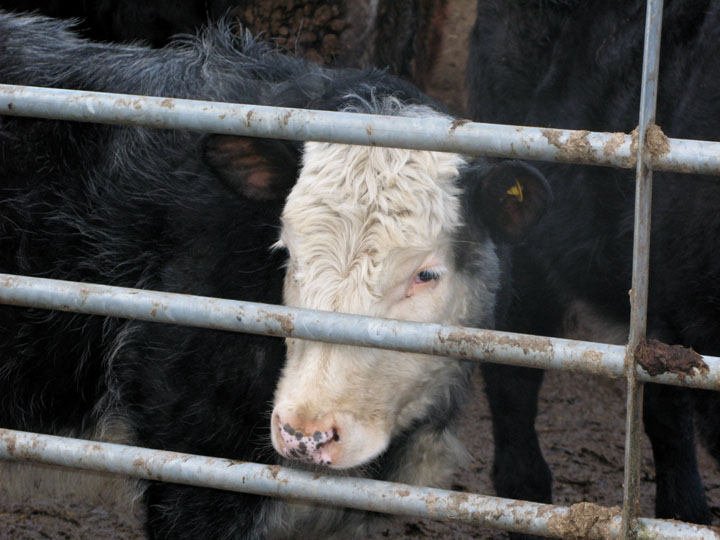
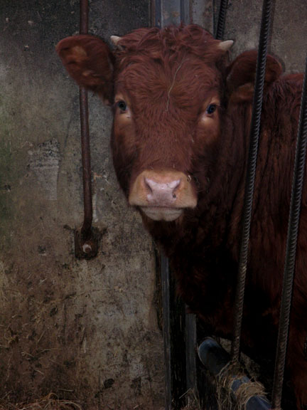
In the yard, a first year calf.
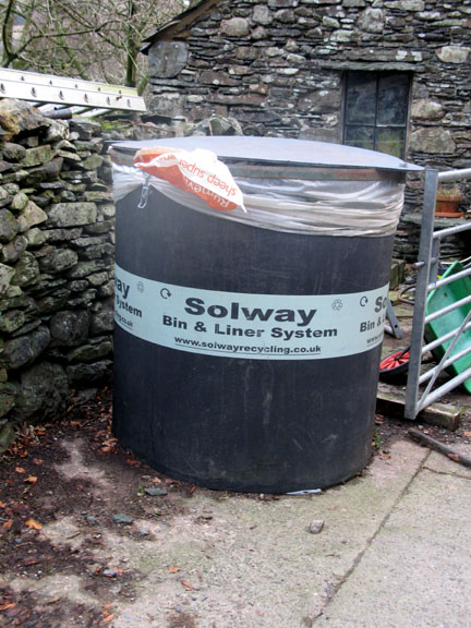
Whilst a local enterprising company has supplied the facility, I understand it is not cheap to have it emptied and re-cycled.
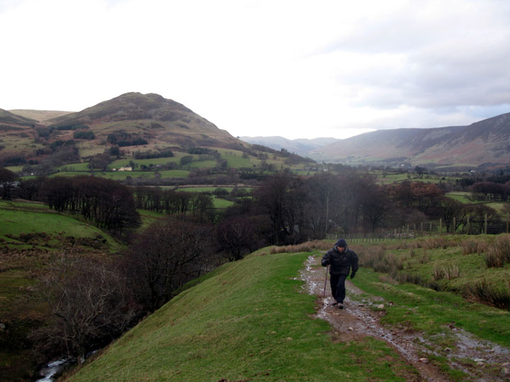
Onward and upward from the farm towards the fell side. We had both selected our windproof, extra warm down jackets for this walk. Mine was last in use in Alaska last February !
Looking back briefly as we make our way up to the tarn. The fell side is extremely wet and there are small streams everywhere.
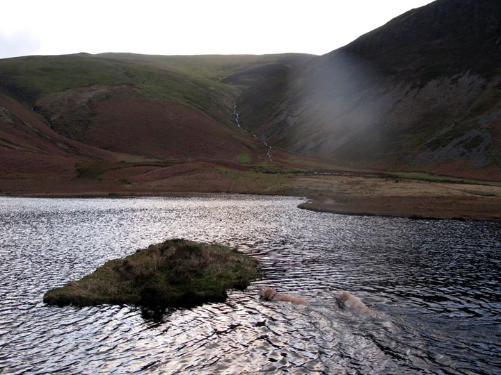
Mild enough for a swim, the two dogs make for the small island in High Nook Tarn. [ Apologies for the flare due to a dirty lens ]
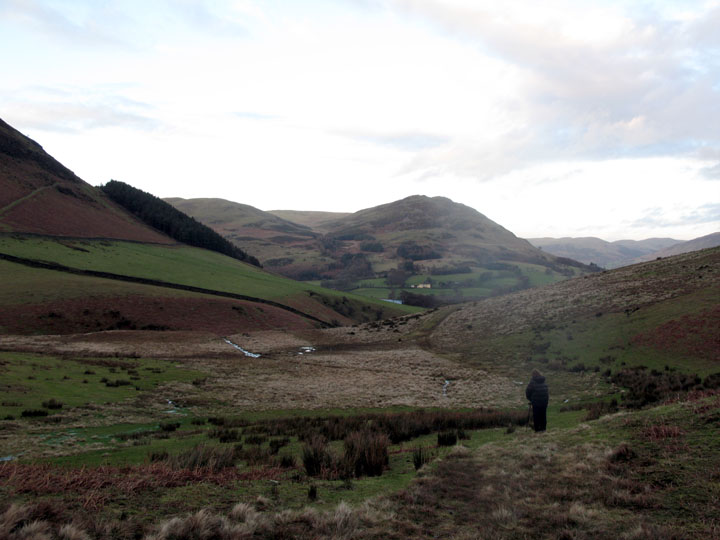
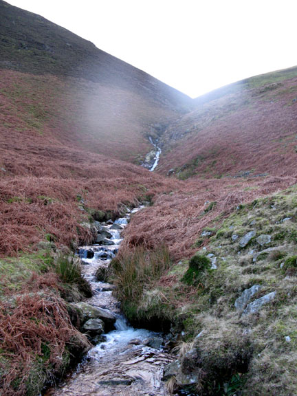
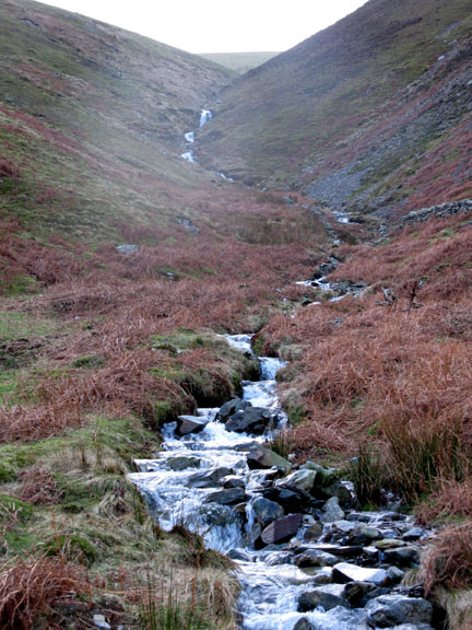
A walk on the wild side, as we leave the direct path and venture round the back of the tarn. The indistinct footpath leads to the head of the valley and on up towards Blake Fell. Ahead the stream split into two.
Both had small waterfalls and plenty of water.
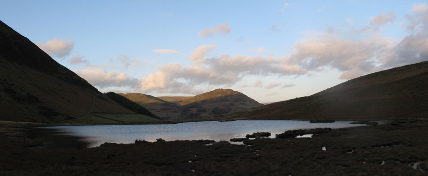
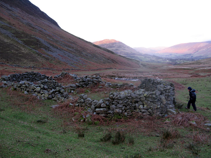
The top sheep fold in the valley, a target to aim for, and the point at which we turned for home. We kept to the left this time and followed the wall back down the valley.
The small footbridge on the Fangs Brow bridle way, sometimes called the Coffin Route, as it leads from Loweswater towards the important religious centre at St Bees, down at the coast.
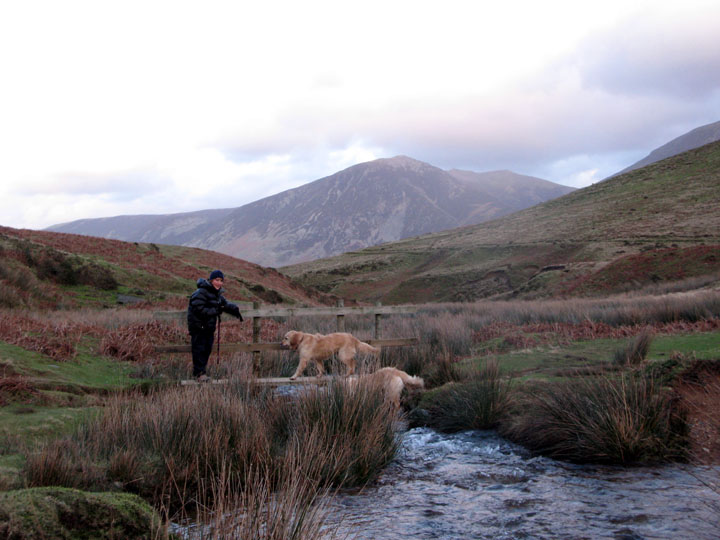
Back to the fell side gate and a view of Low Fell, Darling Fell and Loweswater.
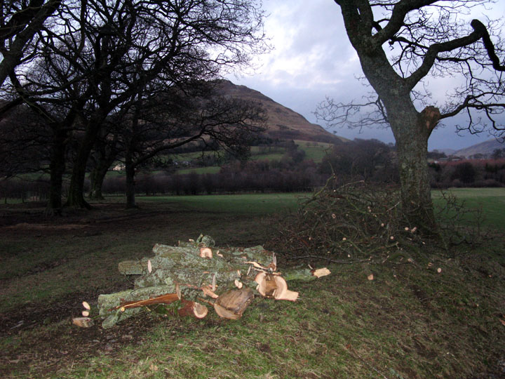
Someone's been busy transforming a fallen branch into a useful pile of firewood.
|
- - - o o o - - - Technical note: Pictures taken with my Canon G7 or Ann's Ixus Digital cameras. Resized in Photoshop, and built up on a Dreamweaver web builder. This site best viewed with . . . a cozy log fire, burning brightly on the large, open hearth. © RmH.2007 # Email me here # Guest book (on the front page) Previous walk - 21st January 2008 A wet Holme Woods Walk A previous time up here - 12th August 2007 Webmasters on Gavel
|