![]()

|
|
|
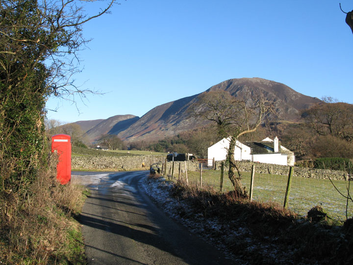
| - Mellbreak up and Back - Date & Time: Wednesday 19th December 2007. 1 pm start. Location of Start : The red phone box, Loweswater, Cumbria, Uk. ( NY 143 211 ) Places visited : Kirkgate Farm, Mellbreak, Green Wood, Low Park and home. Walk details : 2.9 mls, 1350 ft of ascent, 1 hrs 55 mins. Highest point : Mellbreak 1,676 ft ( 512m )Walked with : Myself and the dogs, Harry and Bethan. Weather : Another glorious winter day.
|
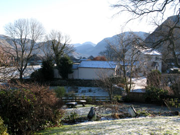
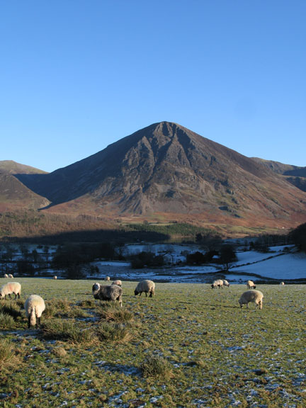
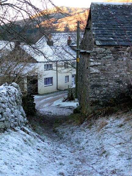
Blue skies and bright sunshine at the start of the walk |
|
The sun is so low in the sky at this time of year that it has already disappeared behind Mellbreak and re-appeared on the other side by the start of my walk at 1 pm
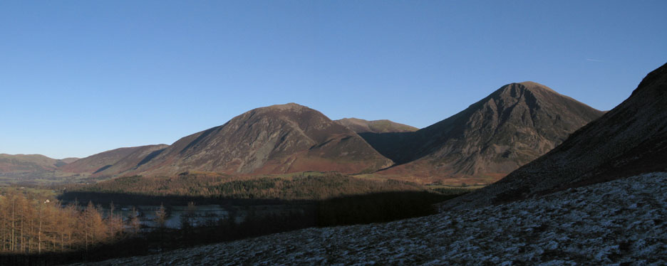
Excellent visibility makes every detail of the fells around stand out really clearly. This is Whiteside behind the cottage with Dodd and Lorton's Swinside beyond.
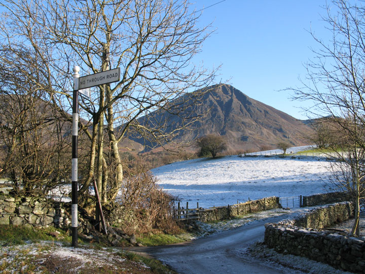
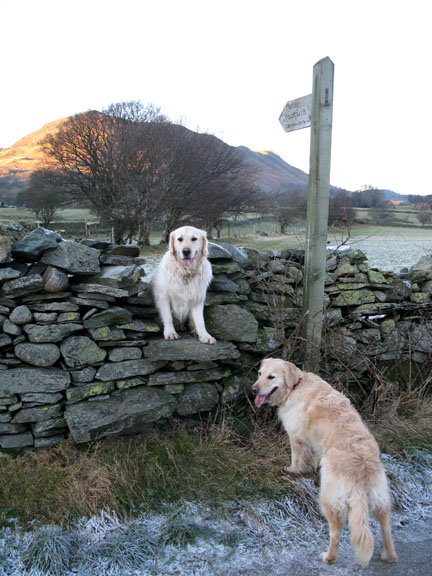
A more unusual view of Wainwright's negative signpost at the Kirkstile turn. There's no group to pose in front of it today.
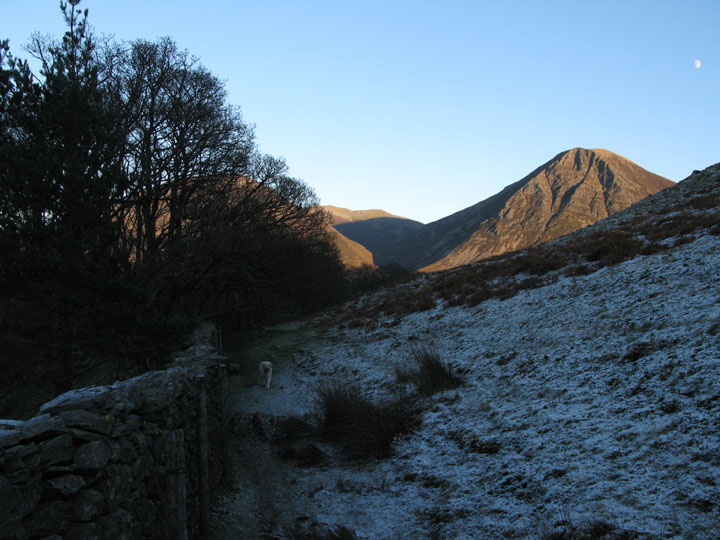
Leaving the Mosedale Valley track behind, I started up the path to the base of Mellbreak's northern face. This direct route is a delight as it climbs quickly, giving ever changing and ever expanding views.
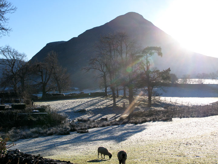
This is Whiteside and Grasmoor across the frosty grass at the start of the steep climb.
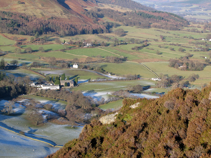
A third of the way up now and a chance to look down on the cottage, the Church, the pub and the frosty fields.
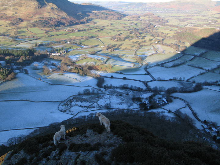
The path becomes quite exposed as the dogs and I climb above the scarily named Dropping Crag (behind me and to my right) The path is frosty but fortunately there is very little ice hidden in the grass as it has been dry of late.
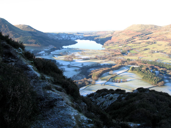
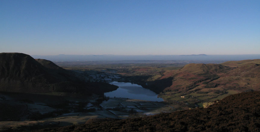
The part I know as Surprise View . . . where you can get that classic vista of Crummock and Buttermere.
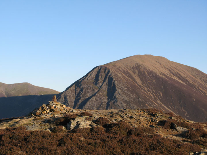
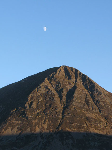
At the top now, this is Mellbreak's alternative northern cairn plus Grasmoor, taken from the ever so slightly higher one where I am. I think the size of the final stone sticking out of each cairn makes the difference on the day.
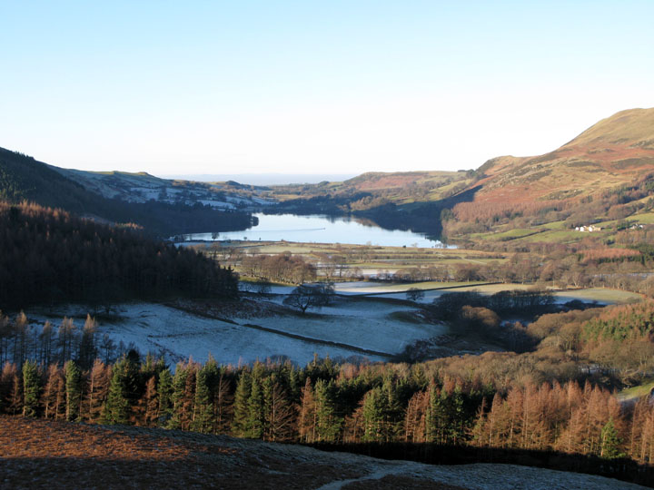
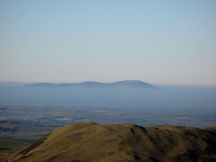
From the top . . . the view over Loweswater of the Solway Coast and to Scotland beyond.
There's a sea mist over the Solway today and just the top of Criffel is showing ~ a winter cloud inversion of sorts.
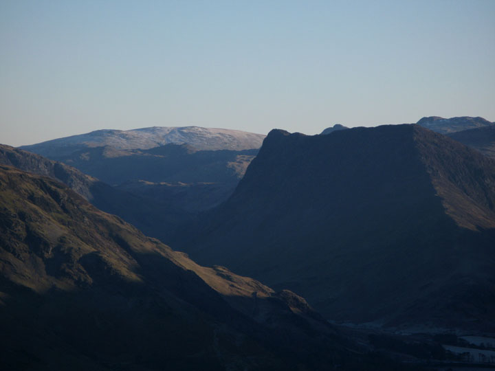
Looking around and zooming in to the south, this is Fleetwith Pike with distant High Raise behind.
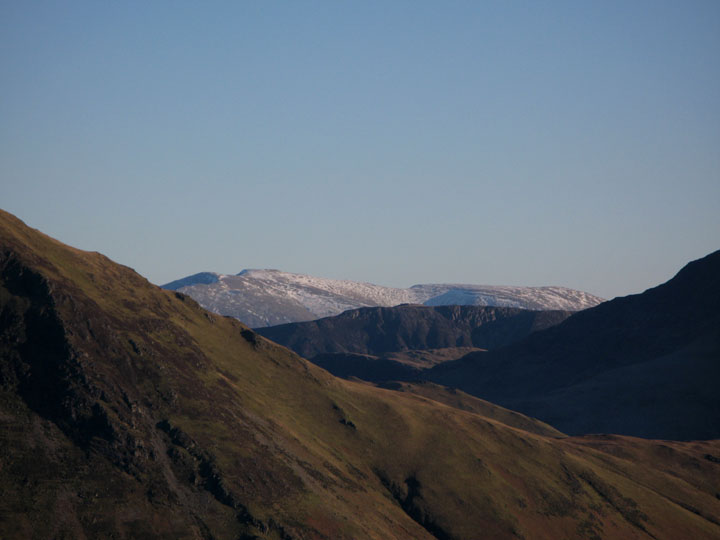
Through the gap, Helvellyn summit still retains some snow. The darker crags on the face of High Spy can be seen in the middle distance.
Time to get back, so we set off again, retracing our steps down the steep northern side. Despite this being approximately my thirtieth time up here, it will be the first time I can remember walking down this way !
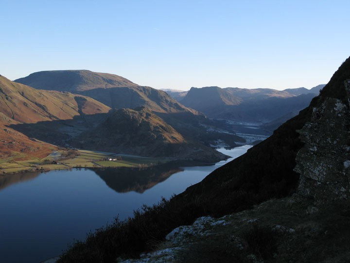
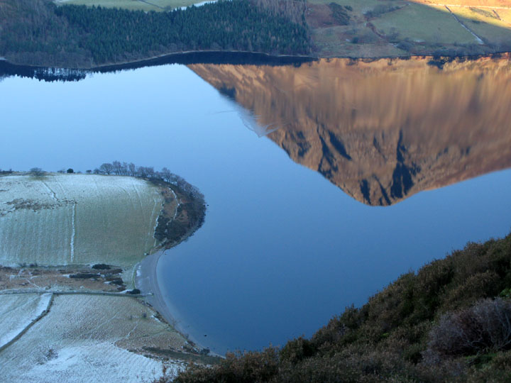
Reflections in the Lake The disturbance on the water giving Grasmoor an extra crag is in fact ducks or geese swimming across the lake.
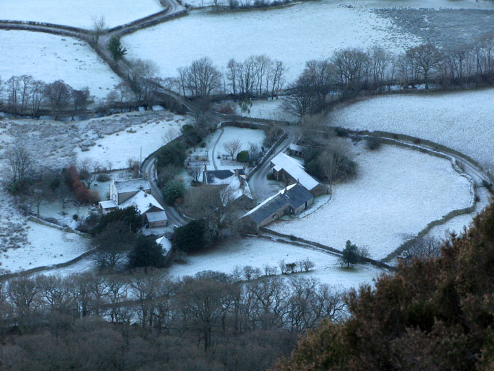
The valley frost is heaviest around the group of houses known as Low Park. Their location in the shadow of Mellbreak means they receive no direct sunlight at this time of the year.
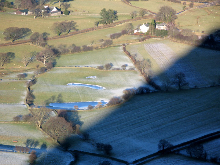
That shadow, which just cleared the cottage when I started, has now moved on allowing 'Puffin Tarn' some sun again. That's good . . . perhaps the washing may have dried on our line !
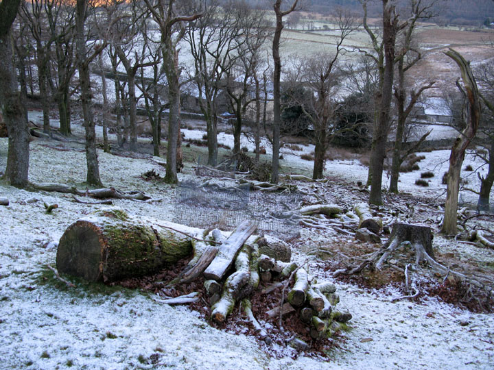
Rather than go straight back I diverted round via the path around Flass Wood and Green Wood. Note . . . must find out what Flass means sometime !
Fallen timber in Green wood above Low Park.
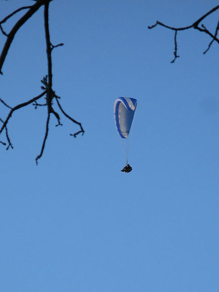
The para glider must have has a superb day today. He had flown down the Buttermere Valley but I only noticed him on the last part of his flight, gliding along the side of Mellbreak. On a day like today, his only disappointment could possibly have been after his flight had ended when he landed close to the pub. For one lunchtime only it was closed while they laid a new carpet in the bar. Now that's what you could describe as unfortunate.
|
- - - o o o - - - Technical note: Pictures taken with a Canon G7 Digital camera. Resized in Photoshop, and built up on a Dreamweaver web builder. This site best viewed with . . . a para-wing and a camera ? Previous walk - 17th December 2007 Frost Rannerdale and more A previous time up here - 21st July 2006 A greener Mellbreak on a hot summer afternoon Next walk - 22nd December 2007 Ullock Pike - Onward and Upward
|