![]()

|
|
|
|
- Grassmoor via Lad Hows with Dee & John - Date & Time: 30th Oct 2007. 9.50 am start. Location of Start : Cinderdale car park, Buttermere Valley, Cumbria, Uk. ( NY 163 194 ) Places visited : Cinderdale, Lad Hows, Grasmoor, Wandope, Thirdgillman Head, Whiteless Pike, Whiteless Breast, Cinderdale. Walk details : 6.5 mls, 3400 ft of ascent, 6 hrs. Highest point : Grasmoor Summit 2,791ft (852m).Walked with : John and Dee Clarke, Ann and the dogs, Amber, Harry and Bethan. Weather : An overcast day improved as the morning progressed but deteriorated as forecasted. |
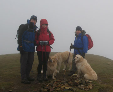
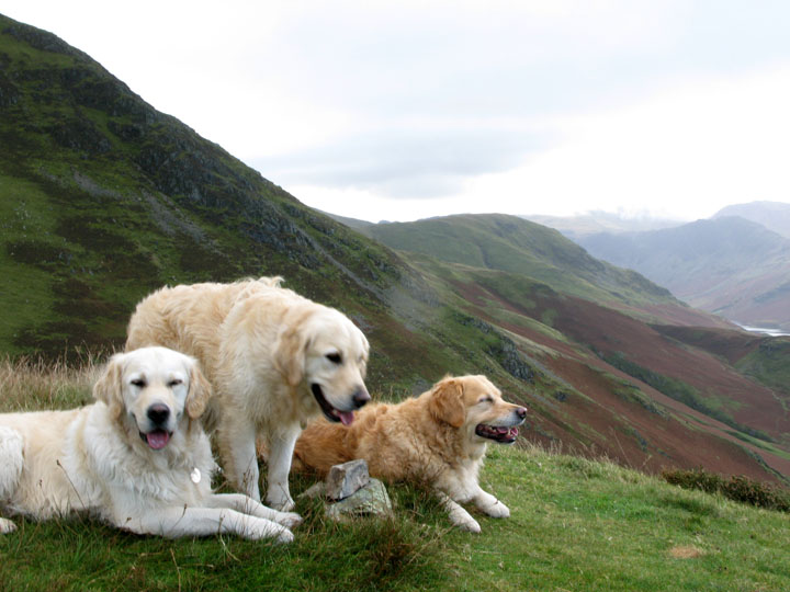
John and Dee, Ann and the dogs on Wandope. |
|
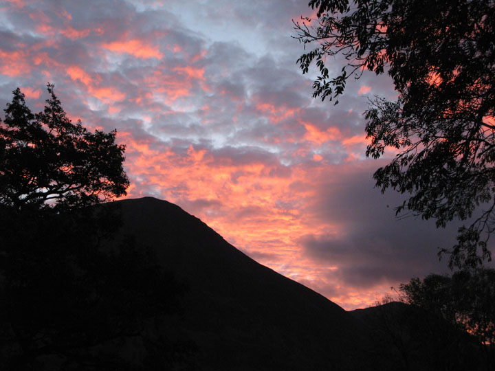
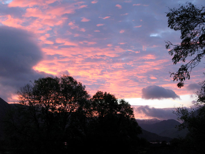
Grasmoor at sunrise. This is a little misleading - this sunrise was two days before today's walk - but it was a nice sunrise !
It extended across the sky from Whiteside, past Grasmoor and over to Great Gable in the south. Unfortunately today's sunrise was not as spectacular . . .
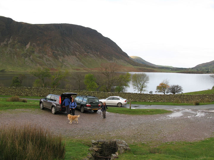
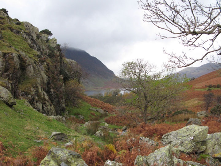
So it was with overcast skies that we parked at Cinderdale and got ready for our walk.
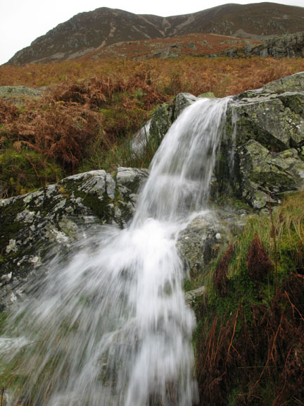
If you want to pause a minute and look at the waterfall, I'm sure we can wait . . . ( Hold your cursor over the right hand picture )
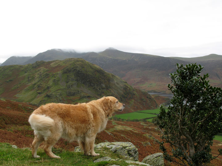
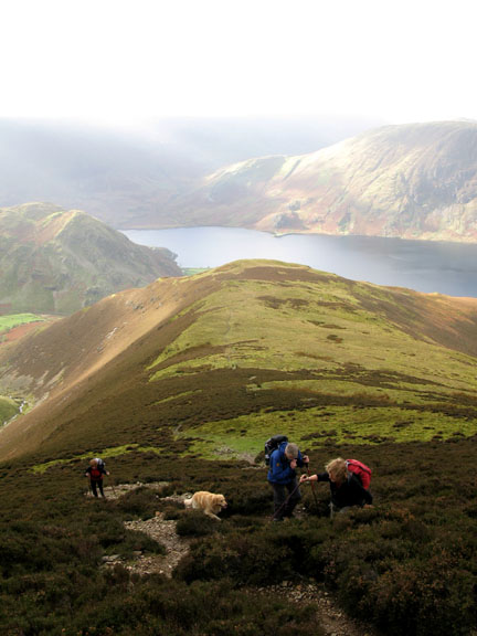
Amber, John and Dee's dog, admires the view down to the valley. Amber is in fact Harry and Bethan's half sister. She's about five years older than Harry. Subtract nine months for Bethan.
A family resemblance ?
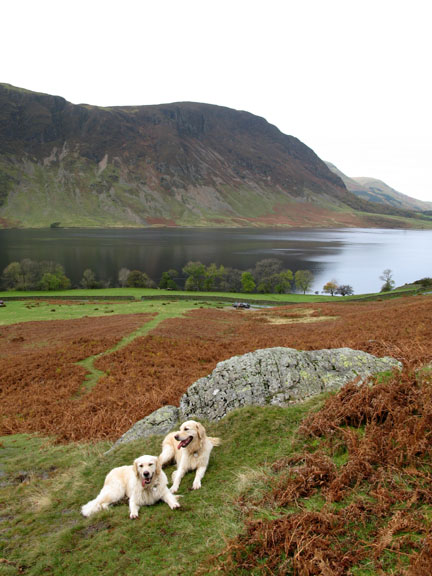
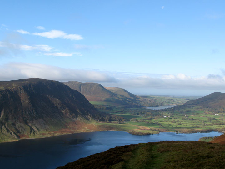
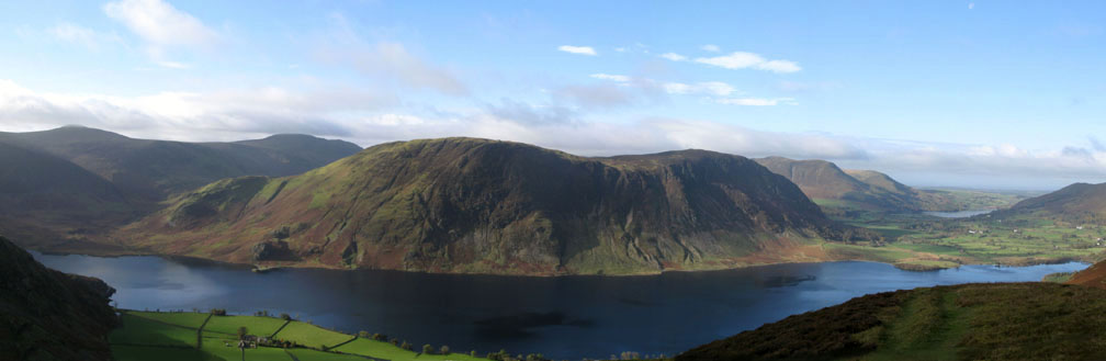
Ah . . . that's better . . . some blue sky for this view of Crummock and Loweswater from Lad Hows.
A wider panorama shows Mellbreak in all it's glory.
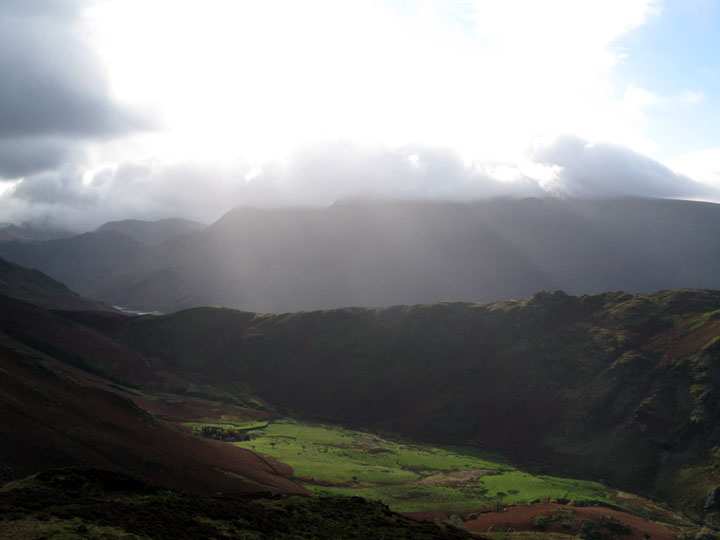
However there were signs that the fine weather wouldn't last. Cloud was building on the high fells opposite, but the sunbeams were attractive as they shone down on Rannerdale Knotts.
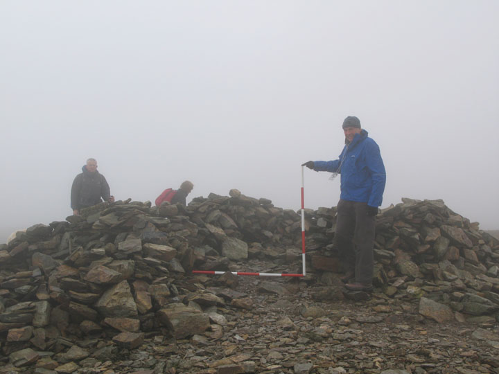
Grasmoor Summit and a gentleman from the National Park doing a quick survey of the summit cairn. Apparently the summit shelter would originally have been a round cairn, most probably a burial mound. Whilst this one has not been investigated fully, it matches similar prominent cairns in the Lakes, several of which have been excavated successfully to reveal their secrets. Over the years this round cairn has collapsed and been re-built in the form of small rough walled shelters to protect modern man from the elements on the summit of this high peak. The Park keeps a watchful eye and records the details where they can.
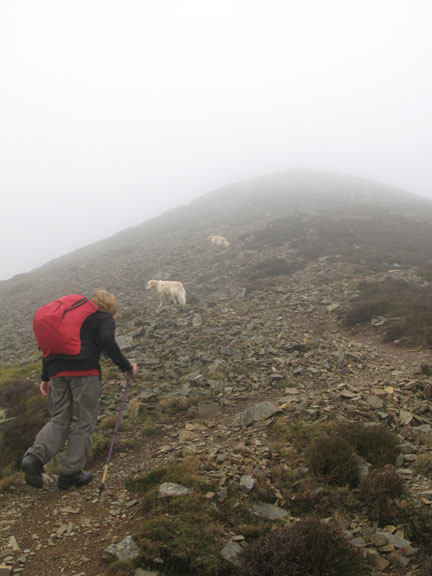
The erosion coming off Grasmoor is very noticeable as the turf is poor and excessive footsteps easily expose the shale underneath. Over the last few years the 'Fix the Fells' team have been up to try and halt the erosion by laying a mechanically engineered path. It must be said that the route now suffers less erosion and the grass is starting to grow back but may I also say that the heavy handed methods they have used have left as big a scar as the original blight. These wide gravel paths are not blending in and the wide and deep run-off channels on the climb apposite would be more suited to urban roadways. Surely what was needed was stone paths and smaller, more frequent drainage channels. Give it ten years the moorland grass may grow back but the artificial nature and double width of the new route will remain. - - - o o o - - -
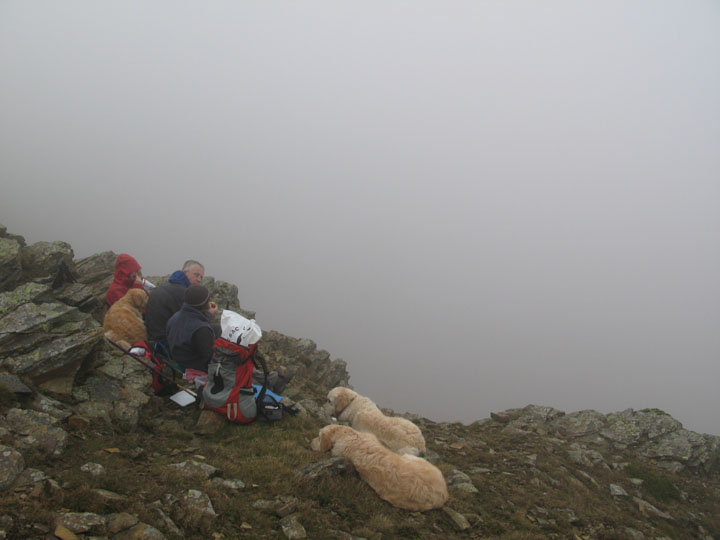
Our lunch spot without a view. Back up on Addacomb Edge now, we are back in the cloud but a sheltered spot in the rocks allows us to stop and enjoy a sandwich.
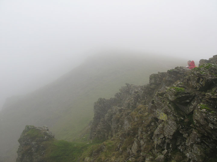
Wandope top is up there somewhere in this rather damp mist. Note: Mist is damp - mist makes the grass and rock damp - dampness makes them slippery. Slippery rock and not paying proper attention while you search for a photo means yours truly hits the ground in an unceremonious heap. This is the second walk we've done with John and Dee and last time Ann ended up in a heap - this is becoming a habit - must remember to suggest walking with them on a dry day next time !
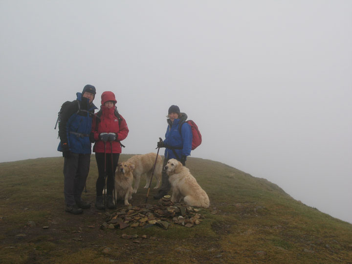
Still back on my feet - a summit picture on Wandope. Dee is collecting Wainwright summits too - this is her second new one today - she is smiling inside her hood I'm assured.
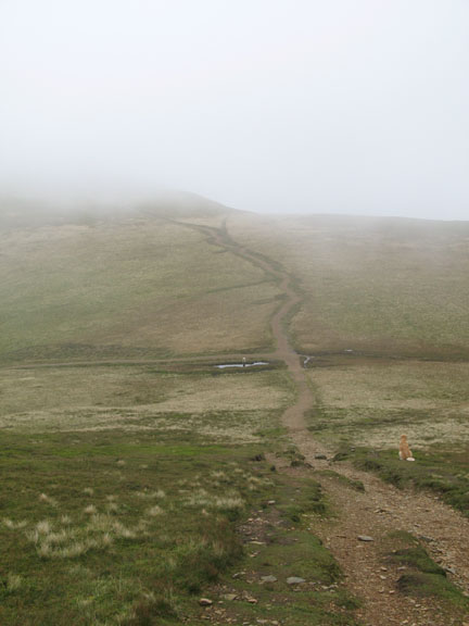
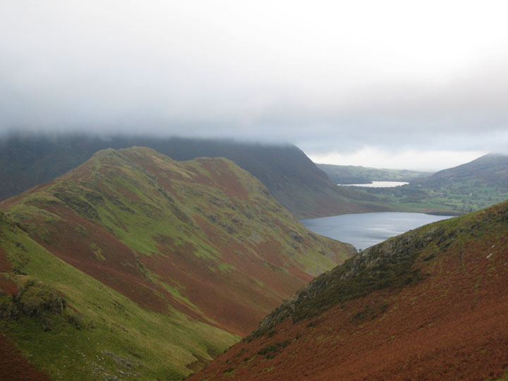
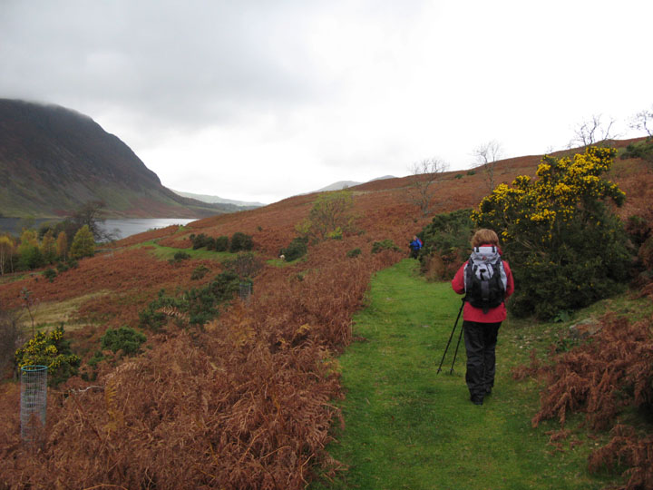
From Saddle Gate, the hause between Thirdgillman and Whiteless Pike, the view started to improve.
Down level with Rannerdale Knotts we were clear of the cloud but have just been drenched by a passing rain shower.
This is the valley next to the bridge over Rannerdale Beck. In May this area is blue with Bluebells.
Today even the summer green of the bracken is replaced with the browns of Autumn. The year is turning full circle again.
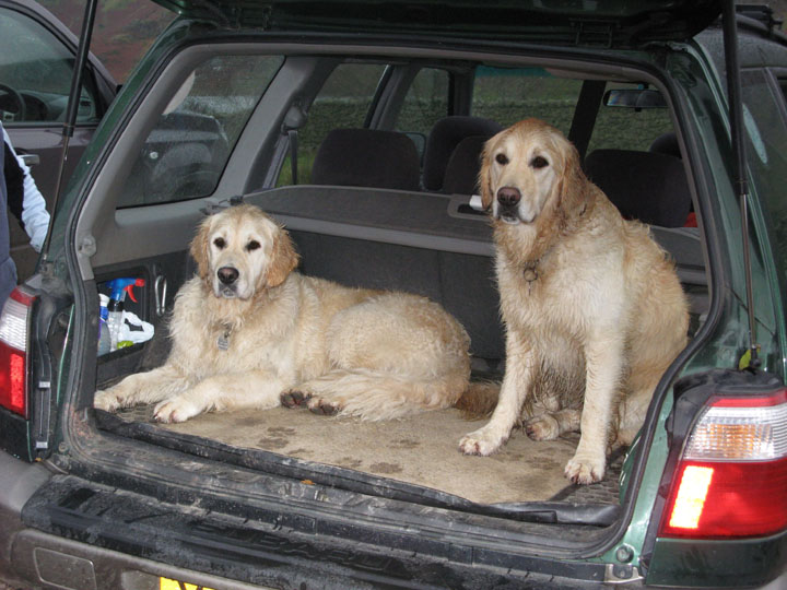
Two wet dogs - back at the car at the end of another good walk.
|
- - - o o o - - - Technical note: Pictures taken with a Canon G7 Digital camera. Resized in Photoshop, and built up on a Dreamweaver web builder. This site best viewed with . . . non-slip rocks please ! Previous walk - 23rd Oct 2007 The Sun, the Moon and Gavel A previous time up here - 3rd to 10th May 2007 Keswick to Rannerdale and Home Next walk - 31st Oct 2007 Mellbreak with Simon and Beth
|