![]()

|
|
|
| - Longsleddale Valley - Date & Time: Thursday 16th August 2007. 12 noon start. Location of Start : Sadgill Bridge, Longsleddale, Cumbria, Uk. ( NY 483 056 ) Places visited : Sadgill, past Buckbarrow Crags and Wrengill Quarries, Brownhow Bottom, Tarn Crag, Harrop Pike, Grey Crag on Sleddale Fell, and back. Walk details : 6 mls, 1750 ft of ascent , 5 hrs 30 mins. Highest point : Tarn Crag, 2176 ft ( 664m )Walked with : Nigel, Jill and Matthew, John, Jo, Ann and the appropriate dogs. Weather : A mixed day of sunshine and showers. Breezy but never cold. |
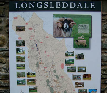
The welcoming information sign in Longsleddale Valley |
|
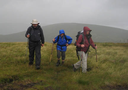
Today's walk was in the Far Eastern Fells on Cumbria where the landscape subtlely changes from the craggy fells of the central Lakes to a moorland, grassy landscape more akin to the Pennines and the Howgill Fells.
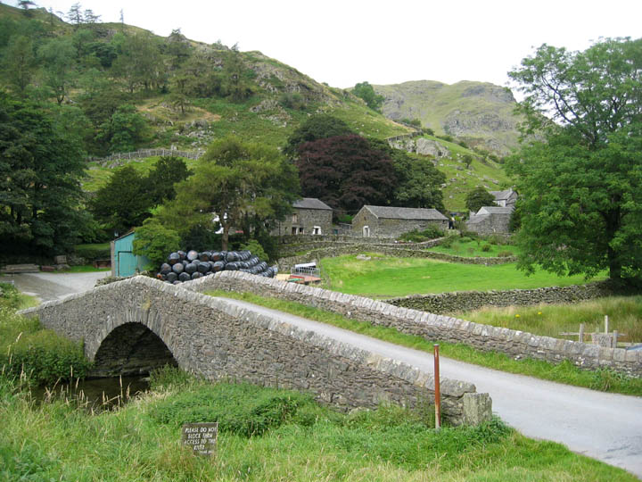
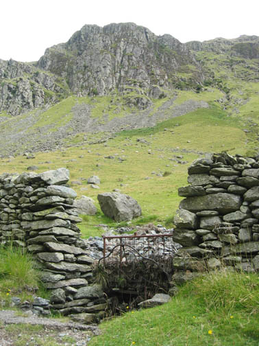
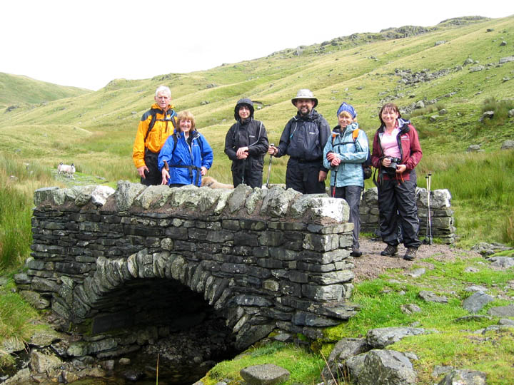
Sadgill Bridge. It always seems an unfortunate name for such a nice place, but Sadgill is in fact old Norse for Upland Pasture (Sad) and a Ravine (Gill)
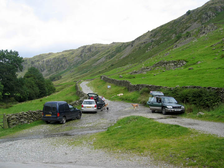
We parked at the end of the metalled road ready for our walk up the valley.
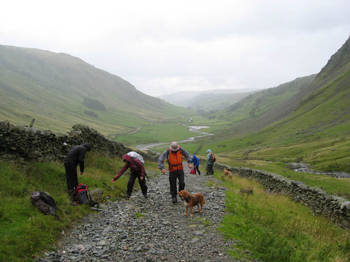
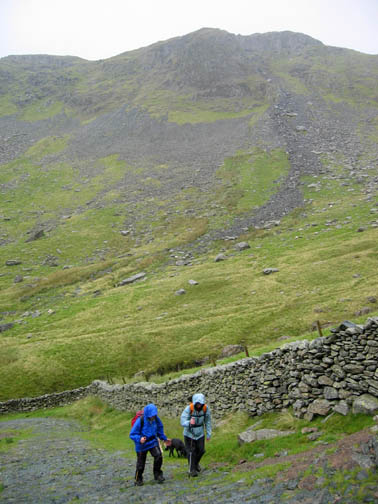
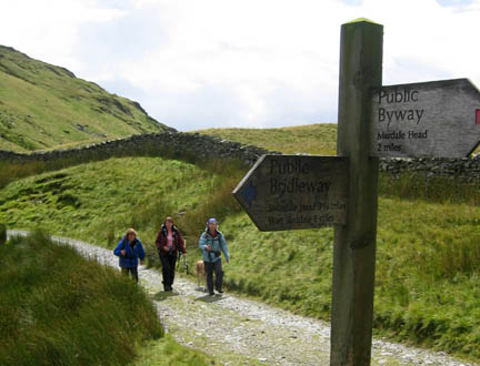
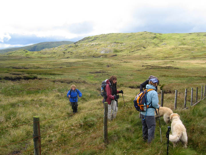
Longsleddale is a delightful valley, both in the more wooded and agricultural lower section, and up here in the more open top end of the valley. The skies promised very mixed weather, with dark clouds over the high fells to the west, but sunshine here as we walked the old track.
Looking back, however, we noticed a grey mistiness which sent us scurrying for our waterproof gear.
Ah . . .sunshine again as we cross the renovated bridge. The memorial plaque below the arch is dedicated to Denys Beckford 1917 - 1985 ( hope I spelt the surname correctly)
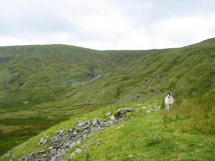
Looking back at the disused Wrengill Slate Quarries and the Gatesgarth road as it climbs north out of the valley. The sheep here was enjoying the richer grass on this well drained slate tip outside one of the minor quarries on this side of the pass.
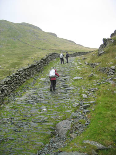
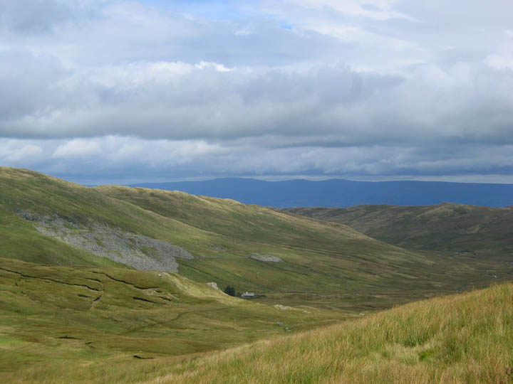
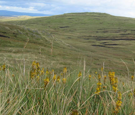
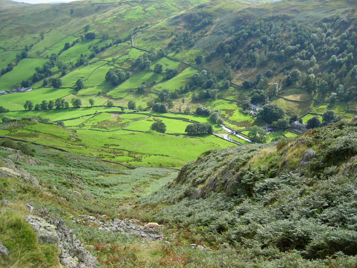
Mosedale with it's old quarry and a well maintained quarry house down by the trees. This is wild eastern territory, with long sparsely inhabited valleys and rough moorland grass. The Pennine Hills form the skyline beyond.
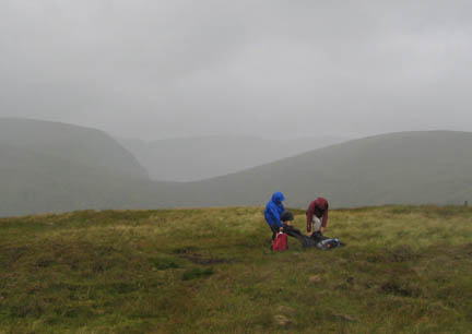
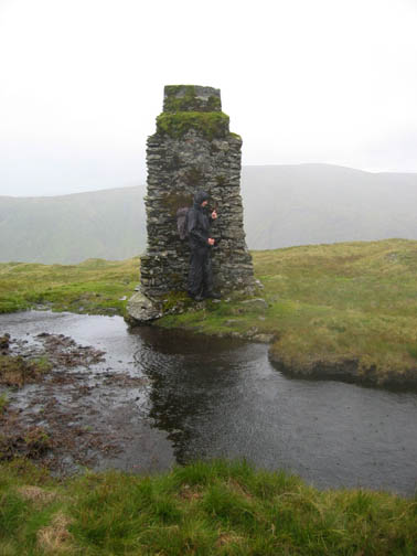
[ For a fuller explanation of the survey posts, see the link at the bottom of this page.]
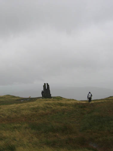
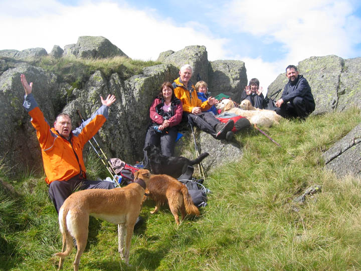
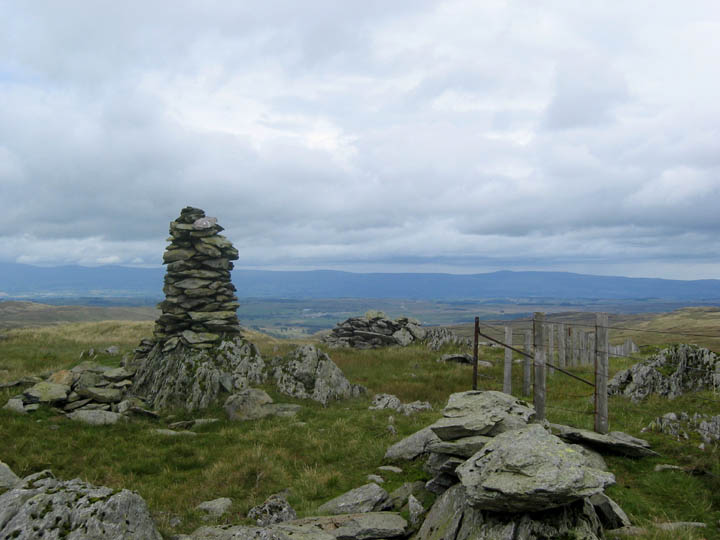
Tarn Crag, lunch,and a celebration as the sun has returned once again.
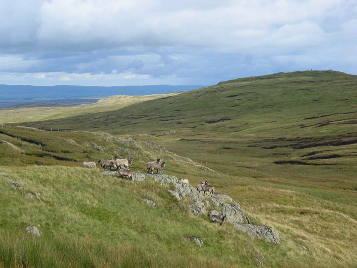
Rather than walk directly to Grey Crag we chose the slight diversion across to Harrop Pike, seen here on the right. The local sheep gathered to view our passing.
Looking back at Tarn Crag as we crossed the fence towards Harrop Pike.
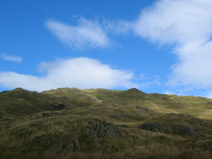
Harrop is a good vantage point for the Shap fells, the northern Howgills and in the distance, the Pennines.
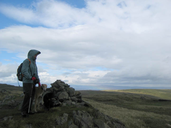
Jo sheltering from the breeze on a cloudy Grey Crag summit.
Today was a day of fast changing weather as you might of gathered. Looking back at the summit we were rewarded with the richest of blue skies that we had seen so far this month.
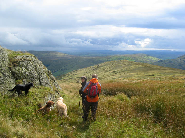
John and Matthew lead the way down now, back towards the Longsleddale Valley. We are aiming for Great Howe, the grassy knoll in the distant foreground.
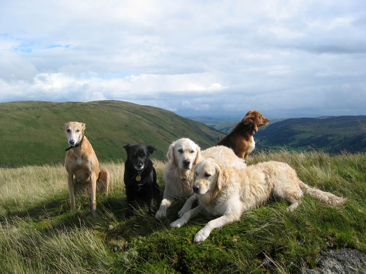
A photo opportunity when all the five dogs stopped running about and gathered in one place for a moment. Jodie, Megan, Harry, Bethan with Polly behind.
Our two !
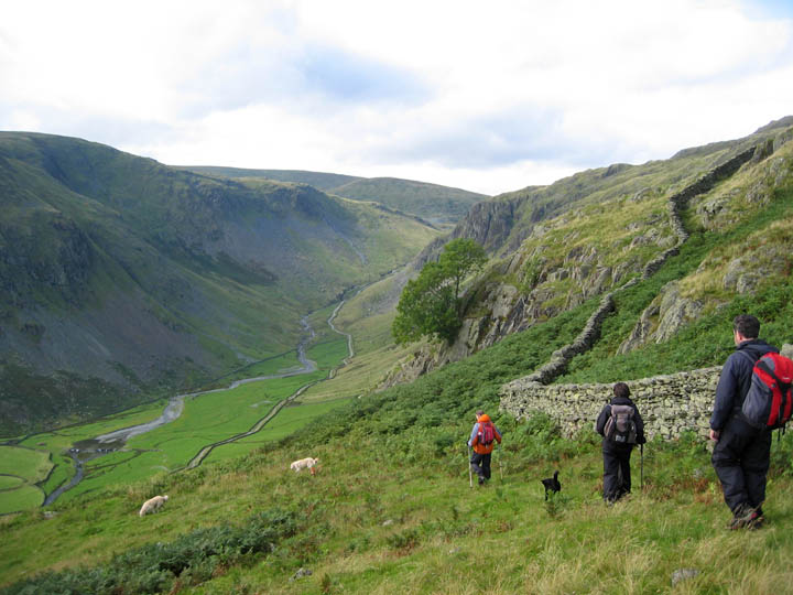
From the minor summit of Great Howe the only way was down. We crossed the wall on a good stile and searched for the path as it headed towards the steep valley side.
Wainwright in his guide book mentions an easy gully descent - made slightly less easy today by the dampness caused by those passing showers. The bridge at Sadgill and the cars, are waiting below as we near the end of our walk.
|
- - - o o o - - - Technical note: Pictures taken with a Canon Ixus Digital camera. Resized in Photoshop, and built up on a Dreamweaver web builder. This site best viewed with . . . the ever changing weather that is the Lakes. Previous walk - 15th August 2007 Dock Tarn and Great Crag A previous time up here - 23rd July 2006 Lonsleddale and a tale of Three Pillars Next walk - 20th August 2007 Ingleborough and Gaping Gill
|