![]()

|
|
|
| - Web Masters climb Gavel Fell - Date & Time: Sunday 12th August 2007. 1.30 pm start. Location of Start : The red phone box, Loweswater, Cumbria, Uk. ( NY 143 211 ) Places visited : Maggie's Bridge, High Nook Tarn, Fothergill Head, Gavel Fell, White Oak, White Oak Mines, Mosedale pool, Kirkhead and home. Walk details : 5.75 mls, 1750 ft of ascent , 3 hrs 20 mins. Highest point : Gavel Fell, 1700 ft ( 526m )Walked with : Andrew Leaney, David Hall and the dogs, Harry and Bethan. Weather : Grey with low cloud but clearing. Humid and reasonably warm.
|
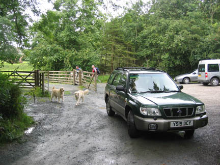
Ann drops us at Maggie's Bridge car park to save time. |
|
Following the Honister weekend, and the previous night's revelries, we decided a Sunday walk was in order but no-one could decide where. Andrew and David turned up at the cottage at the agreed time, and planning as we went, we headed off for Maggie's Bridge at the start of the High Nook farm track. The Loweswater Fells became the objective of the day.
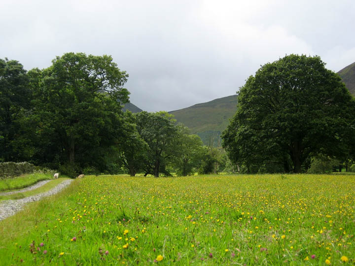
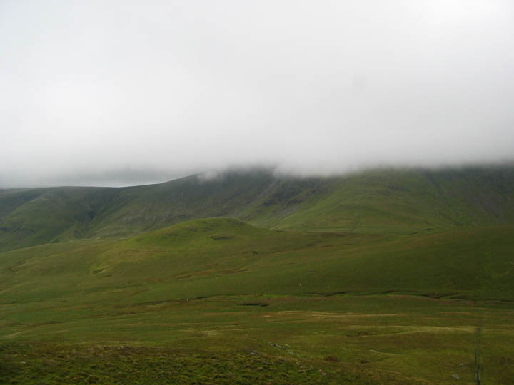
A delightful hay meadow with purple Clover, yellow Buttercup and numerous other flowers which filled the field alongside the High Nook track. The higher fells ahead seemed to be missing from the picture due to low cloud.
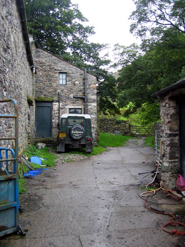
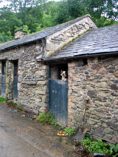
Each time we pass through the farm, his dogs jump up and bark above the high wooden door. This must be one of the few times I have actually been able to synchronise the photo with a bark and so be able to see the dog mid-jump and consequently get him in the photo.
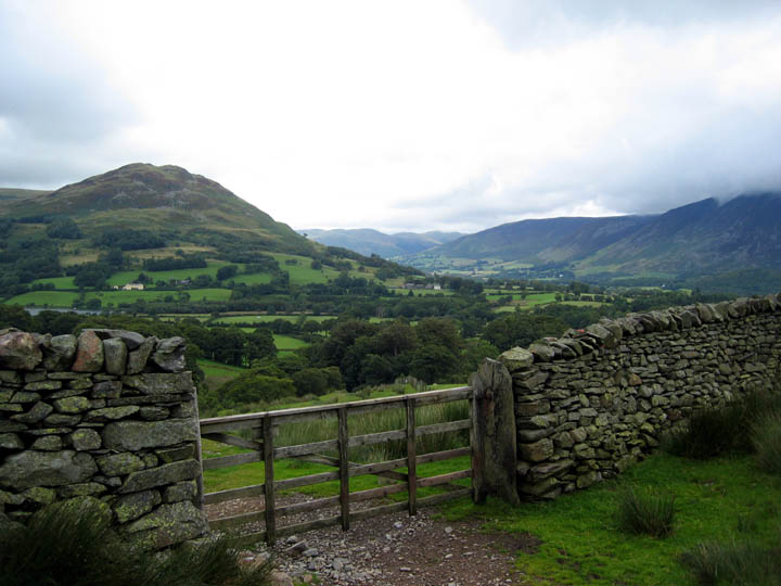
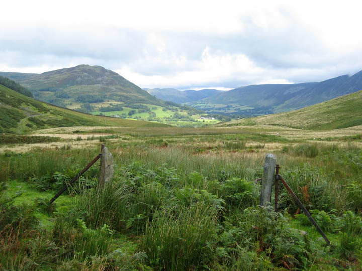
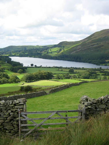
The Lorton Valley from the 'outake gate' - the last gate in the wall before the open fell.
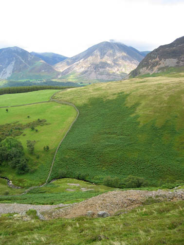
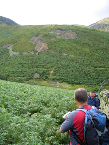
By now we have decided to climb Gavel Fell. It's off to the left of the photo behind the dark sided Black Crag. Our route would take us up the spur central to the photo, but before then we would make a slight diversion as neither David or Andrew had been to High Nook Tarn which lies in the hollow of the Black Crag face.
An old gateway, with slate posts and wrought iron fence supports, frames the view back down the Lorton Valley.
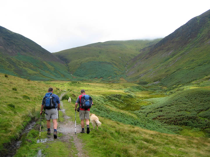
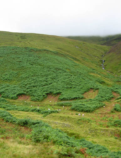
Wainwright then suggests following a natural trench around the side of the Blake Fell slope. Harry's found it okay !
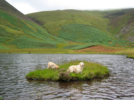
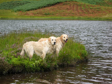
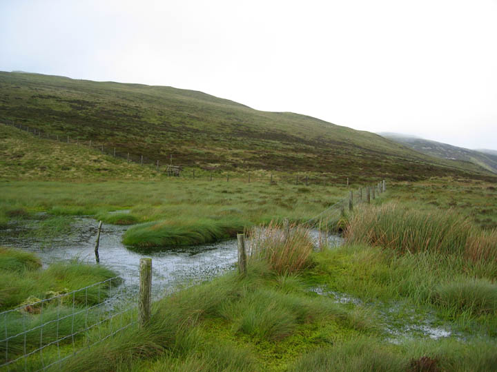
It was a damp and humid day, but the soggy pool at the top was a result of more than one night's rain.
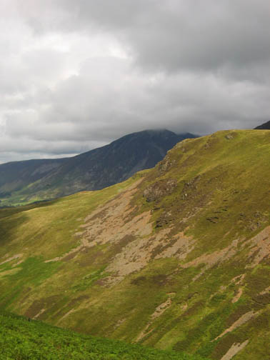
Nearing the summit of Gavel we look back at Blake. The clouds rush past on the strong westerly wind, partially obscuring the top.
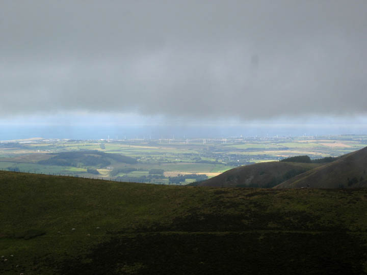
We may be in shadow but the Solway Coast and the Workington wind farms are enjoying some good sunshine down there. They should be generating well in the current strong breeze.
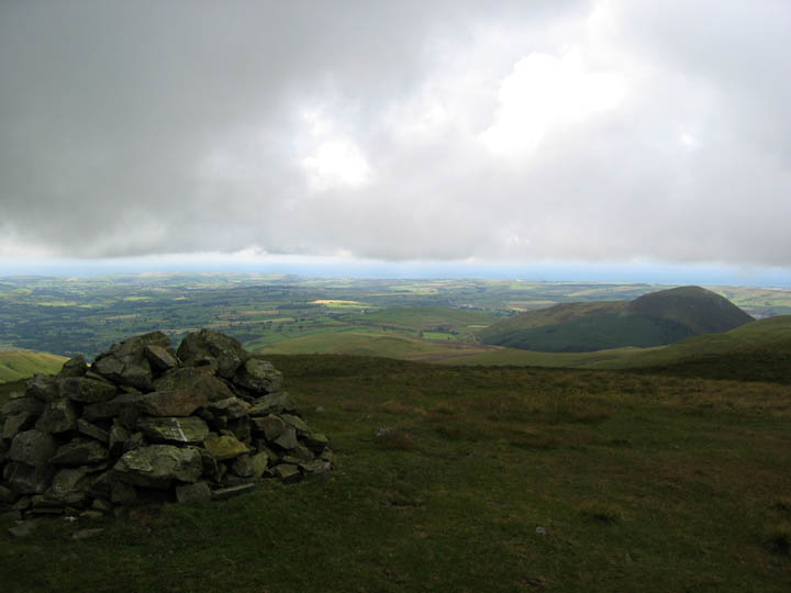
Being just below cloud base, we got similar views west to sunny St Bees Head from the summit cairn of Gavel.
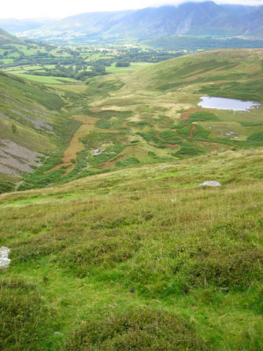
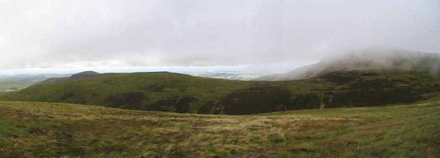
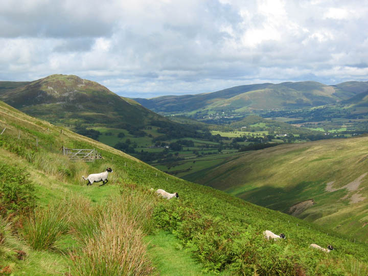
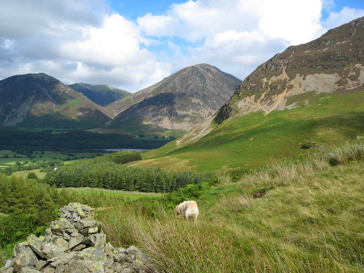
Floutern Cop is clear, but the higher Great Bourne summit is hidden in the cloud. This picture was taken from White Oak, the south eastern end of the short Gavel ridge.
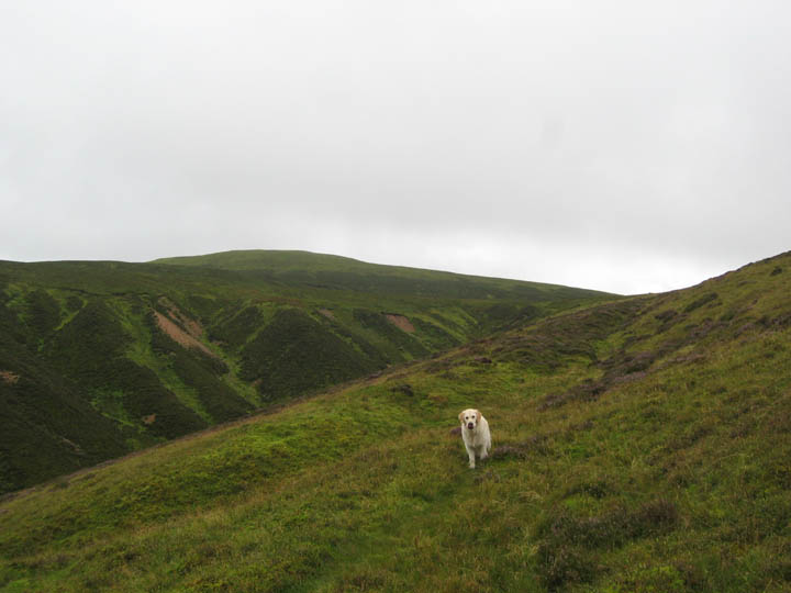
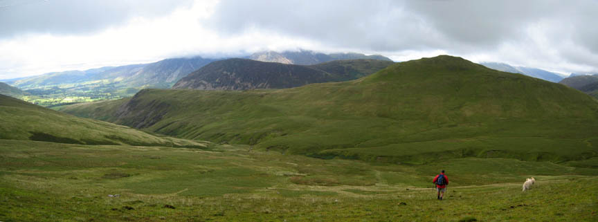
Turning towards home as we leave the high ground and head down to the track alongside White Oak Beck Hen Comb is the adjacent grass covered fell, Mellbreak beyond, with the Grasmoor Fells suffering the same low cloud as Great Borne.
Ah ! . . . sunshine and blue skies make a welcome return as we leave the immediate influence of the highest fells.
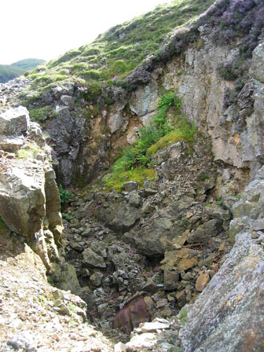
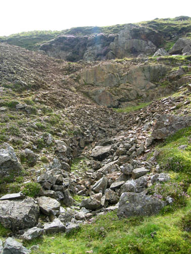
These are long ago abandoned mine workings on the side of the Black Crag ridge. They presumably tie in with the lead and zinc veins that were found in Loweswater and in the Coledale Valley beyond Whiteside. There are about five small addits in the hillside, the top one of which has collapsed to leave a deep pot hole.
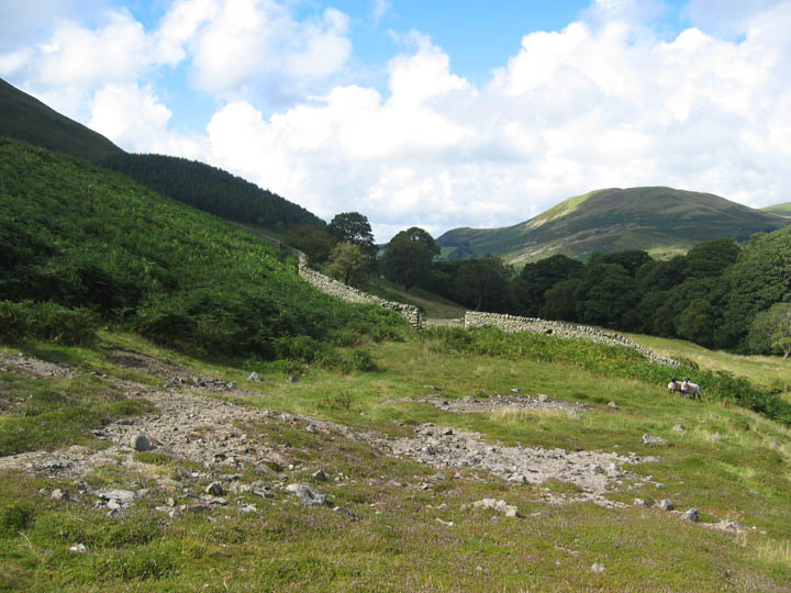
Down at river level now and further evidence of spoil heaps, the metal content of which was still preventing the grass from growing back. Following our visit to Coledale Mine recently, I surmised that this is where the old processing mill for the mines would have been. The gate opposite leads across the fields towards Maggie's Bridge, where they would have had access to the valley road.
Following yesterday's poor weather, the sunshine and blue skies have returned to give wonderful views of Crummock Water and the surrounding fells.
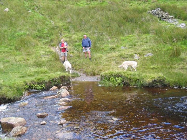
David and Andrew wait as I photograph the stepping stones. Harry and Bethan have been in for a swim already, but the two lads declined !
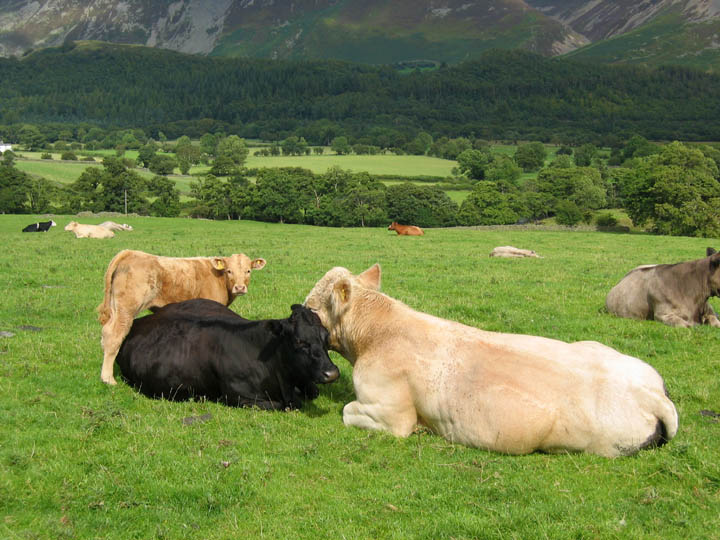
This large bull spent several minutes gently licking the black cow as her young calf stood by and watched us pass. Such a peaceful, domestic scene on this fine afternoon.
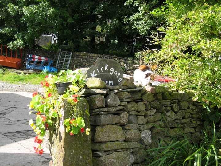
The Kirkgate cat wasn't moving far this afternoon either even though the dogs passed within feet of her lofty perch.
|
- - - o o o - - - Technical note: Pictures taken with a Canon Ixus Digital camera. Resized in Photoshop, and built up on a Dreamweaver web builder. This site best viewed with . . . sunshine after the rain. © RmH.2007 # Email me here # Guest book (on the front page) Previous walk - 11th August 2007 The Honister Via Ferrata A previous time up here - 17th July 2007 White Oak Beck towards Gavel Fell Next walk - 15th August 2007 Dock Tarn and Great Crag
|