![]()

|
|
|
|
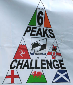
Date & Time: Saturday 7th July 2007. 10.30 am start. Location of Start : Seathwaite Farm, Borrowdale, Cumbria, Uk. ( NY 235 122 ) Places visited : Seathwaite, Stockley Bridge, Grains Gill, Esk Hause, Calf Cove, Great End (Ann), and return. Walk details : 7.5 mls, 2,600 ft of ascent for Ann ( 7mls, 2,500 ft for myself ), 11.5 hrs including one big stop. Highest point : Great End Summit 2,984 ft ( 910 m )Walked with : Ann and the dogs (Harry and Bethan) with colleagues Jo, Dave, Andy, Mary and Simon plus the Water Aid crew (Headed by Ian) and 23 teams totaling around 150 challengers. Weather : Blustery winds, low cloud and passing showers, steadily improving during the day to give some sunshine. The summit of Scafell Pike gave some of the later teams a view, but it closed in again before the end. The logo of the Water Aid Banner at Challenge Base Click here on the banner to access their website |
|
| Occasionally I get asked to help out with providing safety cover for mountain events and today was another such occasion. The charitable organisation Water Aid which started it's life within the auspices of the Water Industry, is aiming to raise money for Clean Water projects in the third world. This weekend twenty three teams, each between four and six members, are being sponsored to climb the UK and Ireland Six Peaks. This is their third mountain climb of their 'long weekend'. They started on the Isle of Man Friday afternoon with an eleven mile climb of Snaefell. They've already walked Snowdon starting 5am this morning, and would travel north later this evening, to climb Ben Nevis tomorrow. Travelling by minibuses they then plan to catch the ferry from Stranraer to climb Slieve Donard, the highest peak in Northern Ireland, and finally drive south to Southern Ireland to climb Corrantuathail on Monday. Not bad for a long weekend !
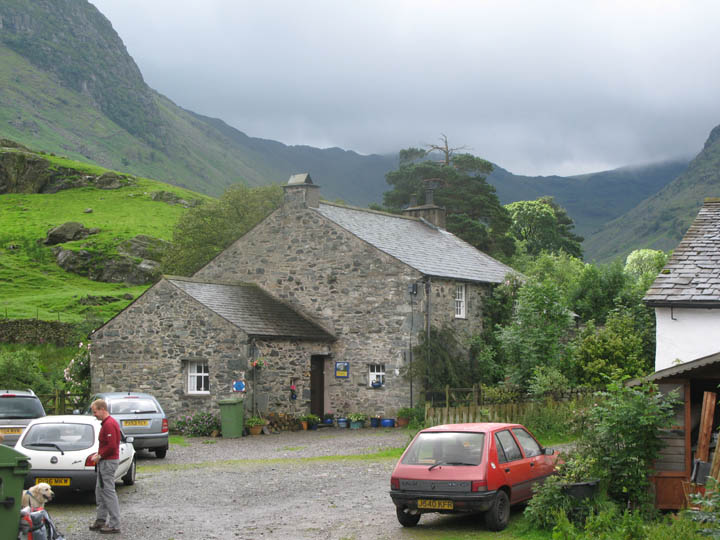
Their challenge this Saturday afternoon is Scafell Pike from Seathwaite. Our group of marshals met up at Rain Gauge Cottage at Seathwaite, and collected our radio gear and team information from the camp site before setting off.
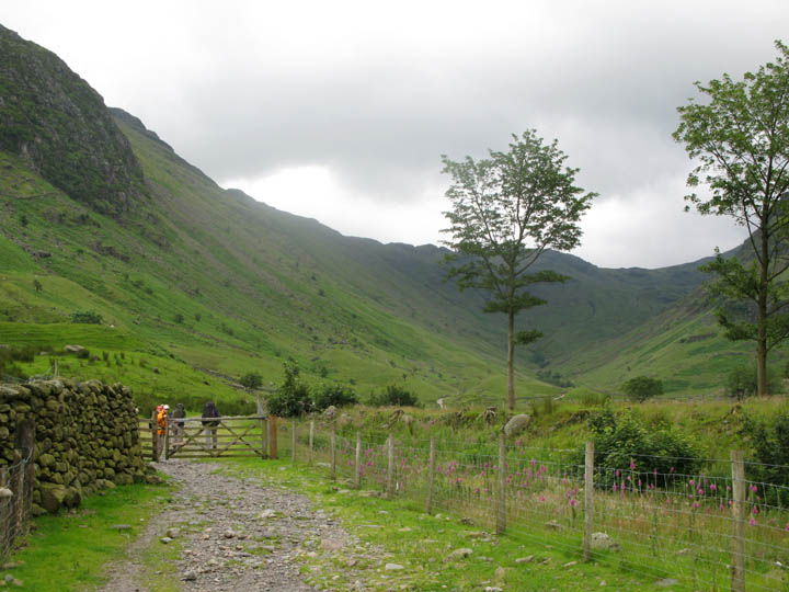
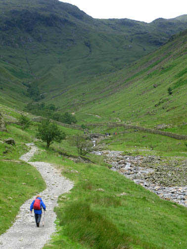
The track up Seathwaite Valley towards Stockley Bridge. The weather was as forecasted - blustery winds, occasional fast moving showers and low cloud - could be better, still could be worse !
Still, looking back, there's some sunshine down there in Borrowdale. It may turn out to be a nice day yet.
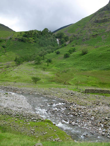
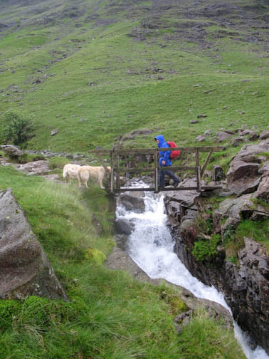
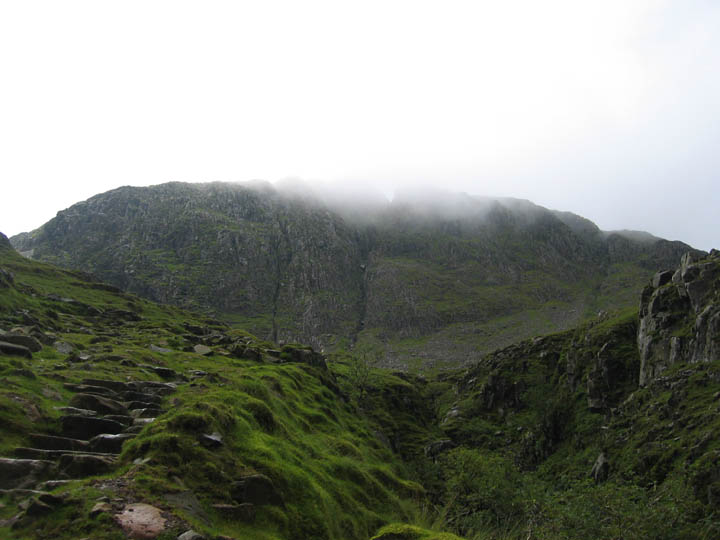
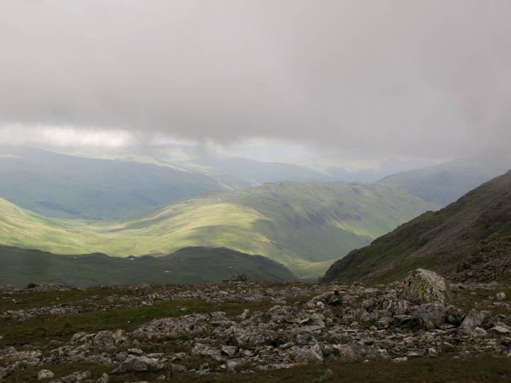
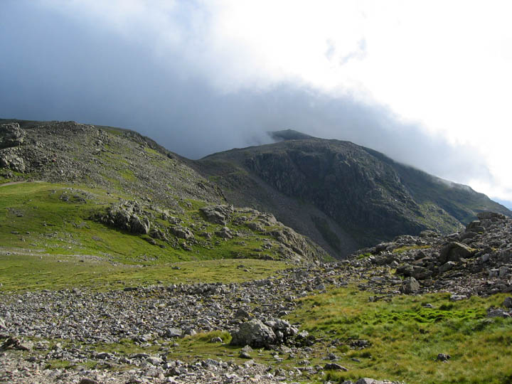
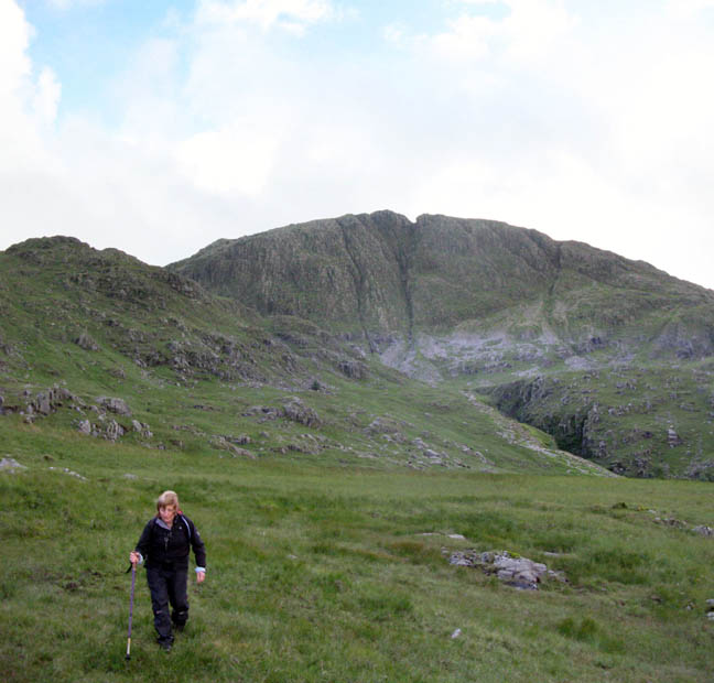
The mature pitched path led us up towards the crags of Great End and that impressive view of it's central gully.
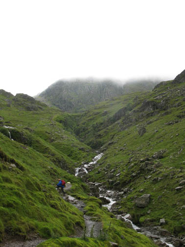
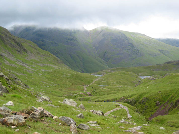
Grains Gill turns into Ruddy Gill at the top, named after the red soil found in the area. Beyond are two parts of Sprinkling Tarn, the centre section is hidden behind the knoll. Green Gable is just out of cloud, Great Gable is not. We hear that the teams are on the way now, the first team "Pickle" having started from the farm at 1pm.
Esk Hause is already full of people even before we arrive. This appeared to be a Duke of Edinburgh Award Scheme group of youngsters.
They set off towards Langdale as we turned the corner and continued our climb. A sudden bright patch of sunlight illuminated Pike o' Stickle and Loft Crag as they set off.
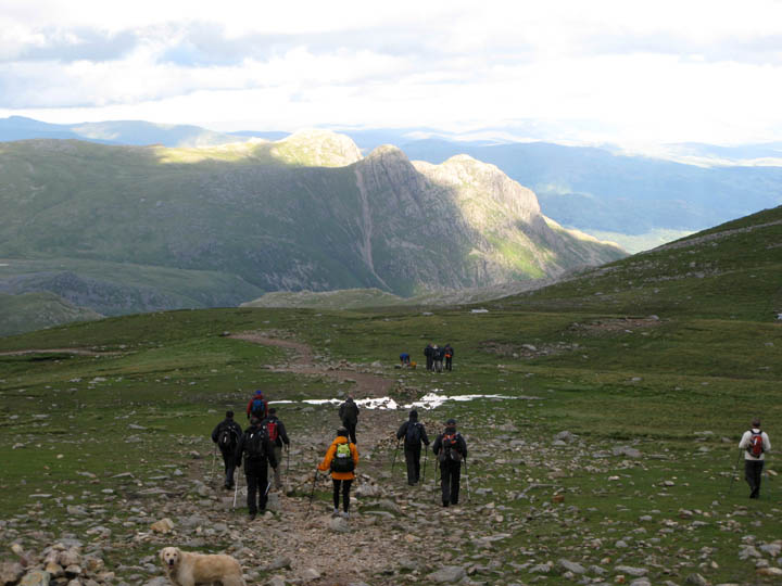
We reach the top of Calf Cove, where the path to Great End splits from the main Scafell Pike route. Bethan goes across to greet some other walkers who were eating their lunch seated at the cairn. Any chance of a spare bite ? . . . pretending she hasn't been fed for days !!
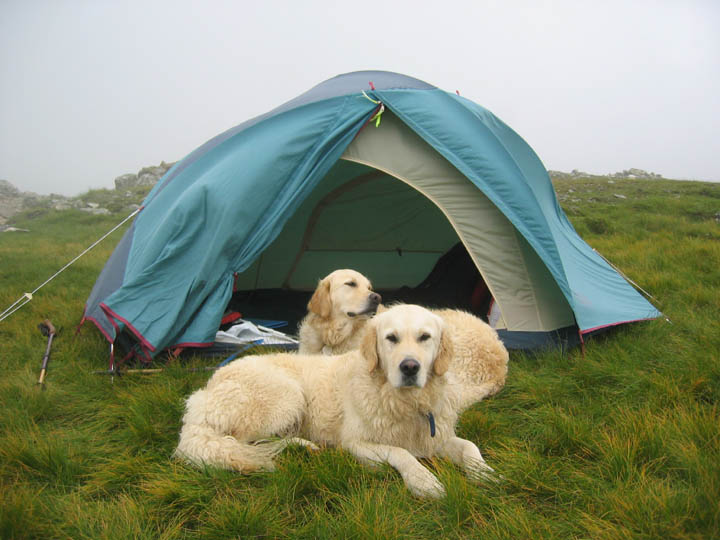
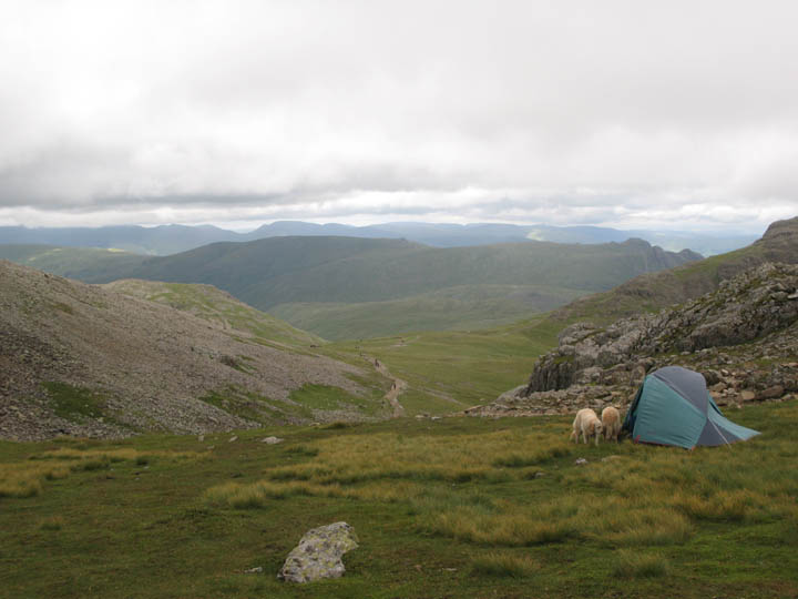
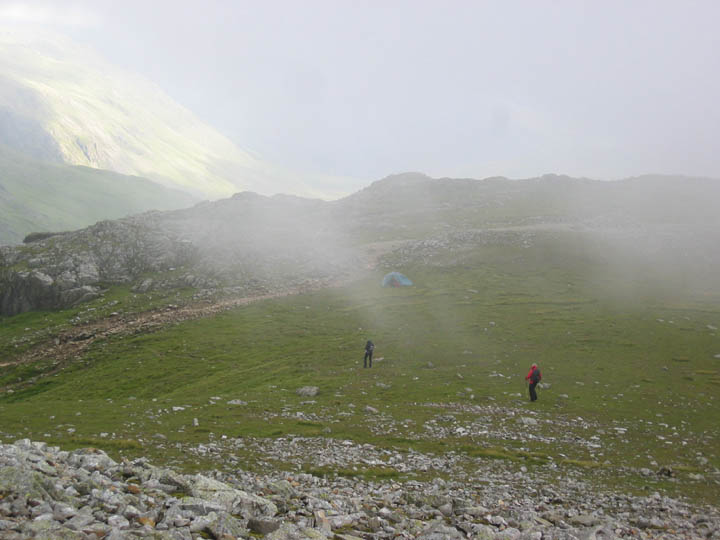
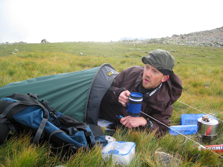
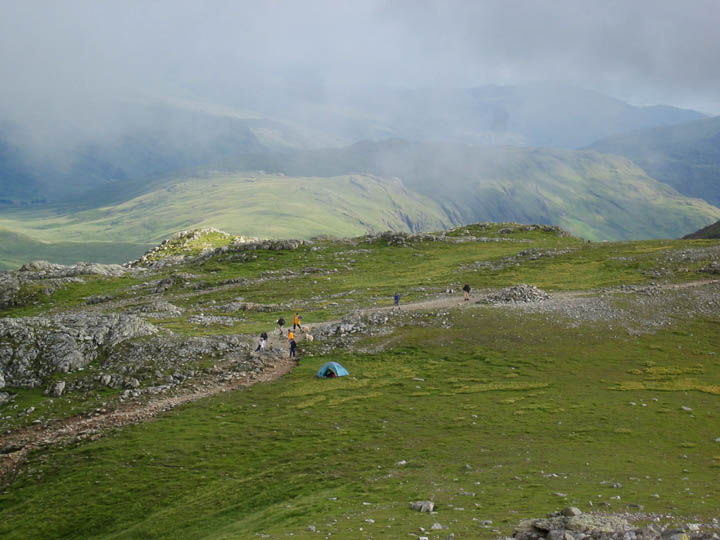
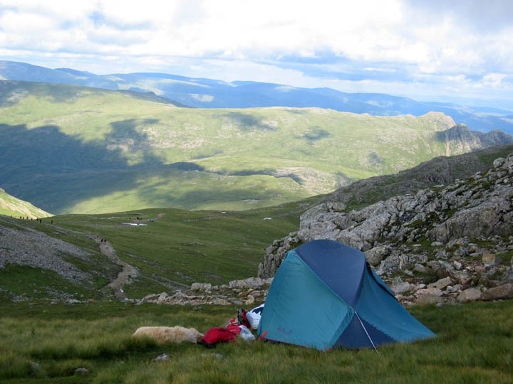
Back in tow, the dogs settle at our tent which we've pitched adjacent to the route. It was a cold day up here and the prospect of six hours hanging about was much more bearable with the opportunity to get out of the strong wind occasionally.
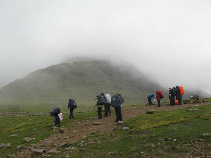
The first teams have already started passing our checkpoint and a slight gap allowed me time to catch a photo or two. The strength of the wind can be estimated as the tent is bowed to one side. Despite the weather clearing, I still appreciated two extra layers and a warm cup of soup with lunch in order to keep warm.
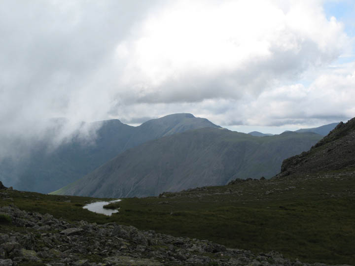
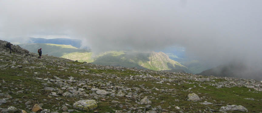
We were perched just on the cloud level, and during the day the mountain mists would clear to reveal the surrounding fells, only to close in again and obscure the view. This is Upper Eskdale and Hard Knott Fell viewed from above the tent. The choice of location was inspirational today. Click here or on the photo for an annotated panorama.
On the other side, distant views of Pillar and Kirk Fell.
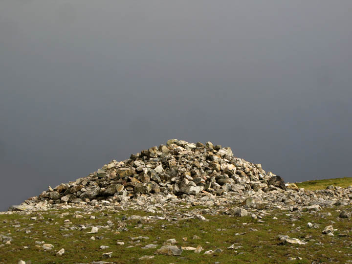
Turn round again and the grey cloud was back, but this time with bright sun on the large cairn.
Climbing Great End, she disappeared into mist, but not before catching this view of the Langdale Pikes.
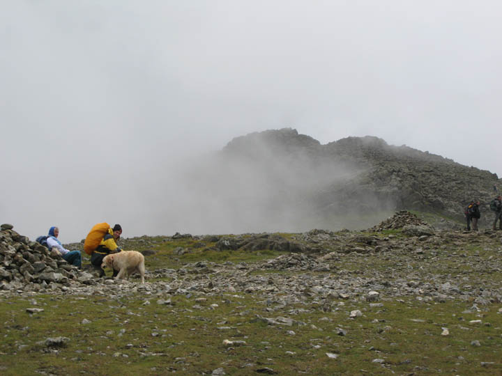
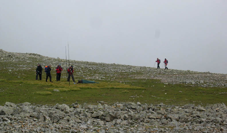
On the summit, a radio relay for a second event. Our good friend Paul was camped out here in a small bivvy tent, acting as communications relay and checkpoint for the other sponsored event this weekend, the Lakeland 24 Peaks Walk. There were about thirty five teams of five to six people (over 200 in all ) walking from Buttermere to Langdale via High Stile, Gable and Scafell Pike (10peaks today) with the prospect of an overnight at Ambleside YHA. This would be followed by a further 14 peaks tomorrow. They would start from Kirkstone Pass and climb Red Screes and Fairfield, then Dollywagon and Nethermost, finally completing the Helvellyn Ridge to end their weekend ! Add to that all the normal Saturday walkers, Scafell Pike was a very busy place today.
Paul catching a brew in order to stay warm. He has been up here in the cloud since 9 am this morning.
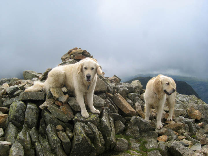
Harry and Bethan visit the summit of Great End.
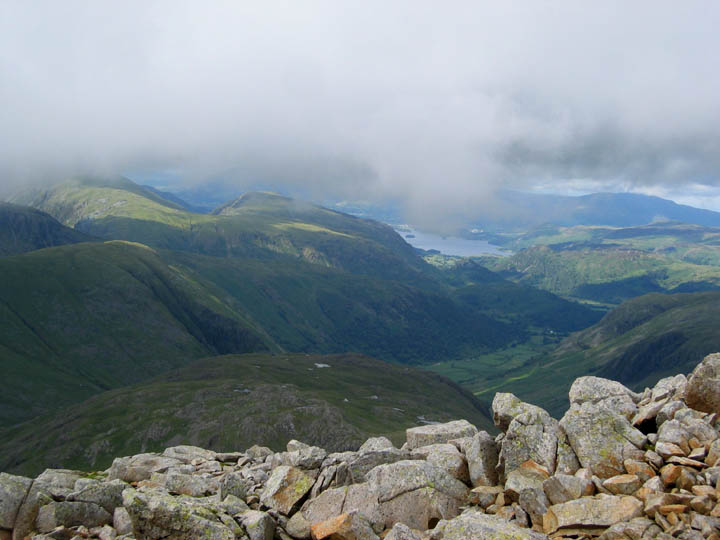
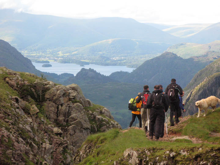
The views down to Borrowdale and Derwent Water are improving as the afternoon progresses.
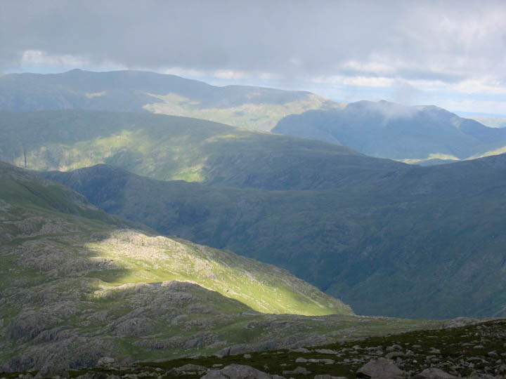
Sunshine and cloud patterns decorate the fells. Sun on Glaramara, then a shadowy Sergeant's Crag, Ullscarf, Helvellyn, and is that the top of Catstycam in the distance ?
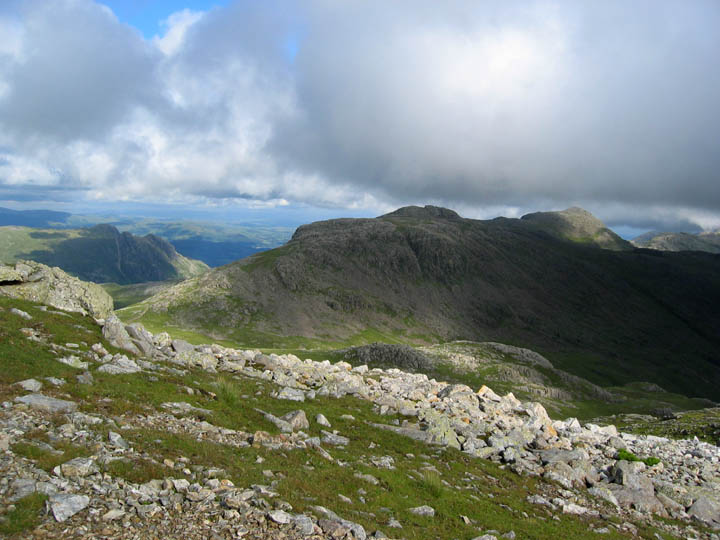
Sunshine illuminates Esk Pike and Bowfell.
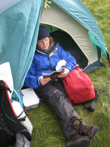
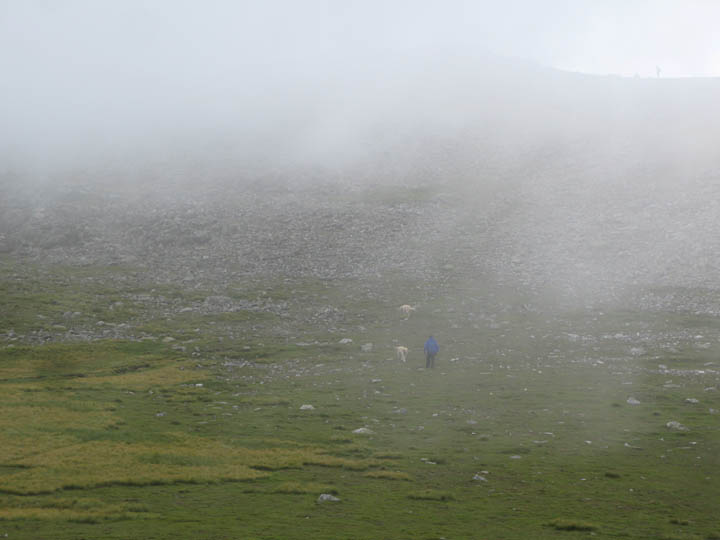
The mist has risen as Ann returns to the tent. I'm the first one in yellow, chatting to another of the six peak teams. The two dogs have already run down to me but Ann has stopped to enjoy the view . . .
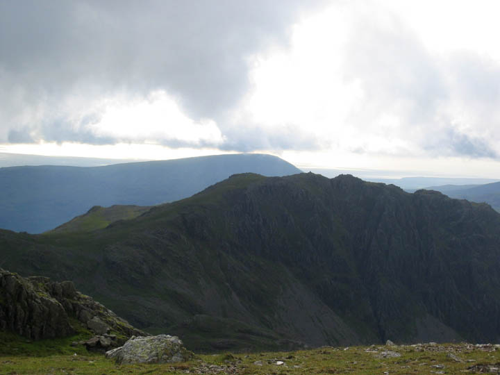
Looking west over Lingmell to the sea.
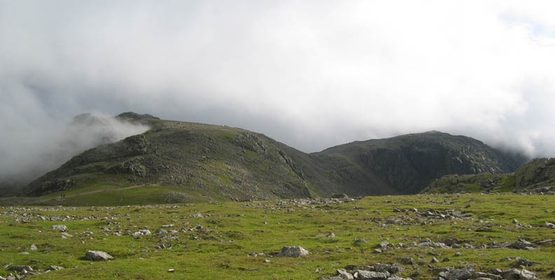
Several of the teams were blessed with brief glimpses of the tops as the mist cleared to reveal Ill Crag, Broad Crag and Scafell Pike itself.
Scafell Pike from Great End Col.
Time for another rest as Harry relaxes late afternoon.
Teams were returning now, my 6 Peak walkers making for Esk Hause and then back to Seathwaite. The 24 Peaks group behind were making for Great End, before climbing Esk Pike and Bowfell on their way to Langdale.
Job done now and the tent dismantled, before we walk with the last group down to Esk Hause.
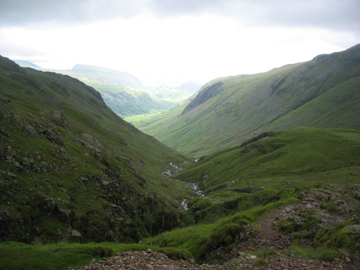
The start of the descent down Grains Gill
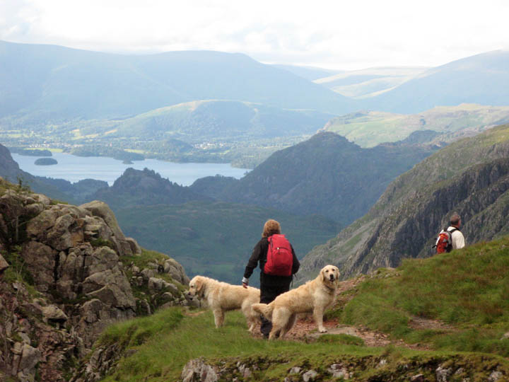
Ann and the dogs, with Derwent Water and Keswick beyond.
For a change, Simon led us on the old path to the right hand side of the valley, marked as the old right of way on the map. The soft, often boggy ground, was certainly easier on the legs than the stoney pitched path we used on the way up.
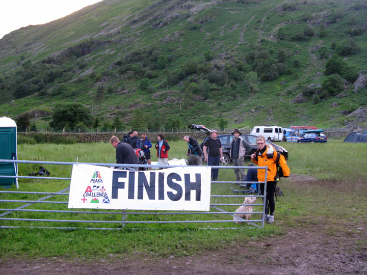
Mary and her dog stand at the finishing banner, but we were not the ones who had done the hard work today. Full marks go to the Challenge Teams involved, and to Ian (in the lighter hat) who organised the Water Aid group.
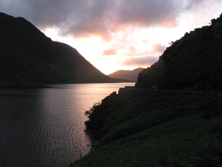
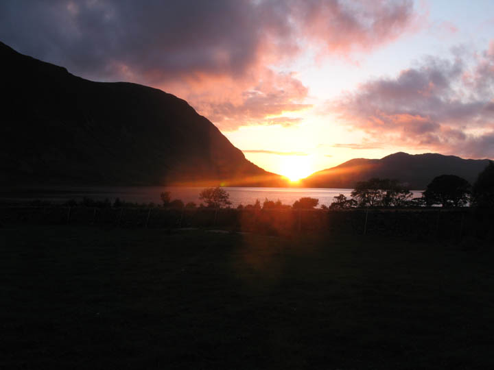
Radios returned, farewells said, we returned home over Honister and down the Buttermere Valley. This is Hawes Point with the evening sun at 9 o'clock.
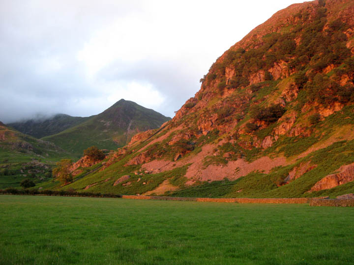
Round the corner, catching the full beauty of the late summer sun, Rannerdale Knotts with Whiteless Pike behind.
And so to bed !! Just think - Ben Nevis tomorrow, Slieve Donard and Corrantuathail the day after . . . . . . . Sweet dreams if you can catch them. |
- - - o o o - - - Technical note: Pictures taken with a Canon G7 Digital camera. Resized in Photoshop, and built up on a Dreamweaver web builder. This site best viewed with . . . bags of enthusiasm and stamina. - - - o o o - - -
Previous walk - 30th June 2007 High Pike for a not so sunny walk A previous time up here - 13th October 2006 A Great End to our "428 Wainwright Fells" Next walk - 14th July 2007 Rannerdale Knotts with Jenna
|