![]()

|
|
|
|
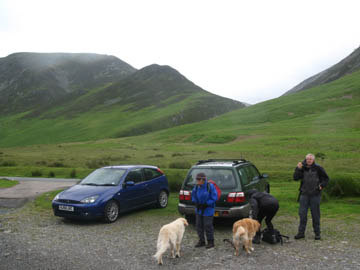
Date & Time: Thursday 14th June 2007. 12.35 pm start. Location of Start : Lanthwaite Green near Loweswater, Cumbria, Uk. ( NY 185 222 ) Places visited : Lanthwaite Green, Gasgale Gill, Coledale Hause, Sand Hill, Hopegill Head Whiteside, Whin Ben, back to Lanthwaite Green. Walk details : 5 mls, 2,375 ft of ascent , 4 hrs 50 mins including a sheltered lunch. Highest point : Hopegill Head 2,525 ft ( 770 m )Walked with : John and Dee with their dog Amber (Harry and Bethan's older sister) Ann and our dogs, Harry and Bethan. Weather : Started poor, becomming awful, especially on exposed ridges and summits. A dry start at Lanthwaite Green
|
|
|
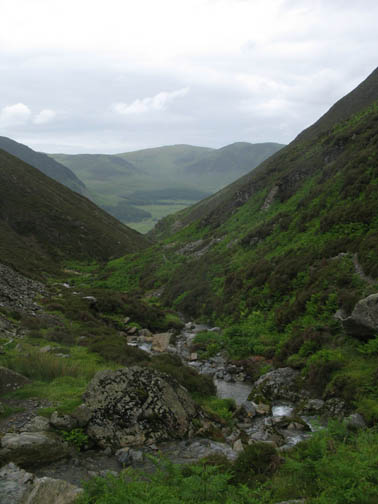
The walk would take us up Gasgale Gill today - we planned to see what the weather would do as the afternoon progressed.
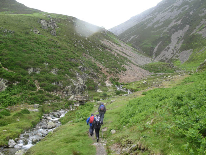
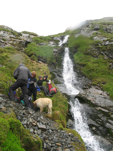
It was raining slightly even before we reached the 'rock step' by the waterfall. Bethan was up first today.
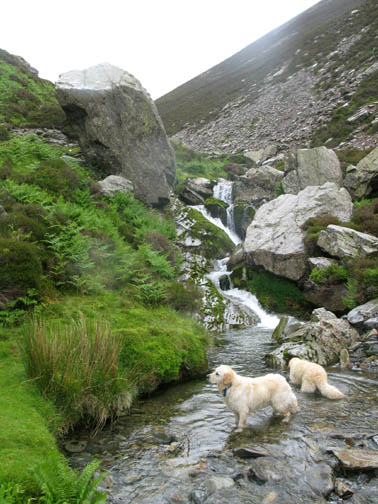
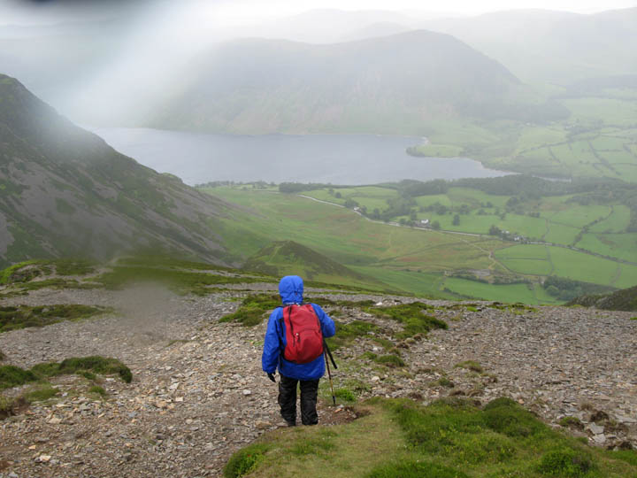
As we continued up the weather was rather wet and windy, but we knew we were protected slightly down here in the valley. Cloud level fluctuated around the 2,000 ft mark as the clouds rushed across the top of the fells.
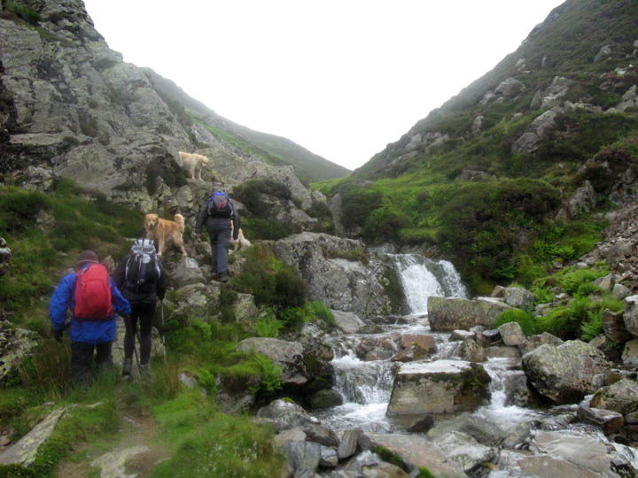
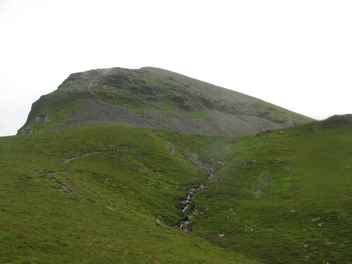
Climbing now, we got good views back of the Gasgale Crags on Whiteside.
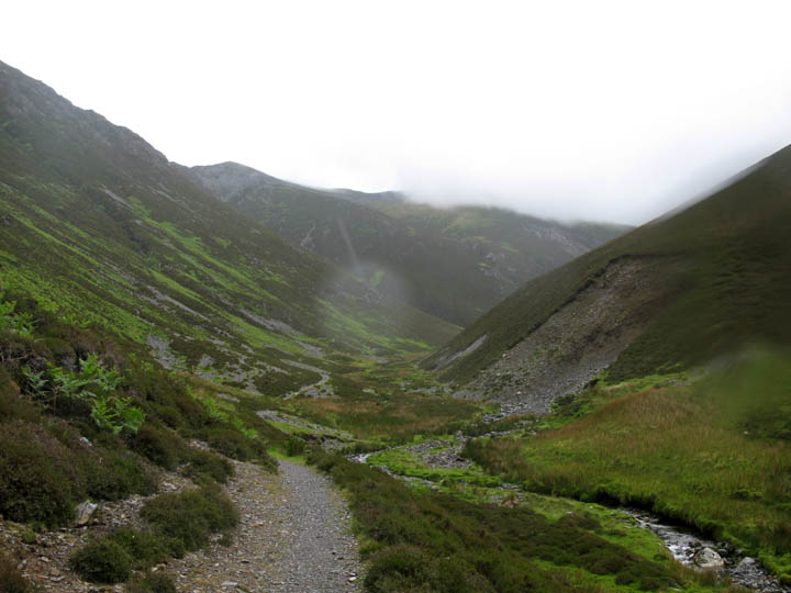
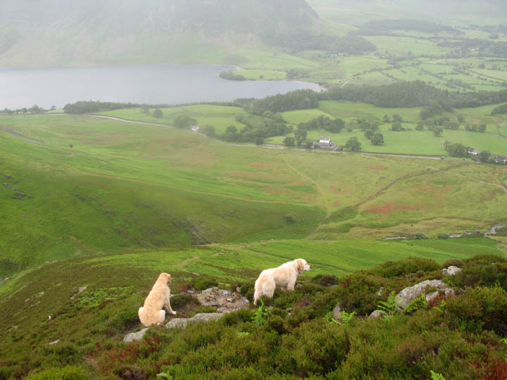
Eel Crag seen from the top of Gasgale Valley as we emerge onto Coledale Hause. We passed one person in the valley on the way up, and saw three others here, even on this rough weather day.
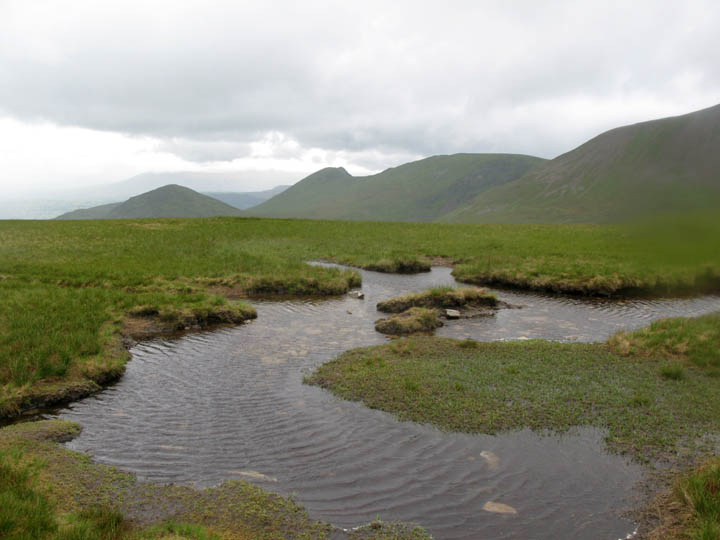
The full force of the wind was evident by the large ripples even on this small tarn (puddle) on the hause itself. The wind was very blustery and as we turned left (north) for Sand Hill. Walking in a straight line was becoming much more difficult !
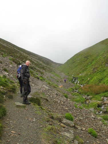
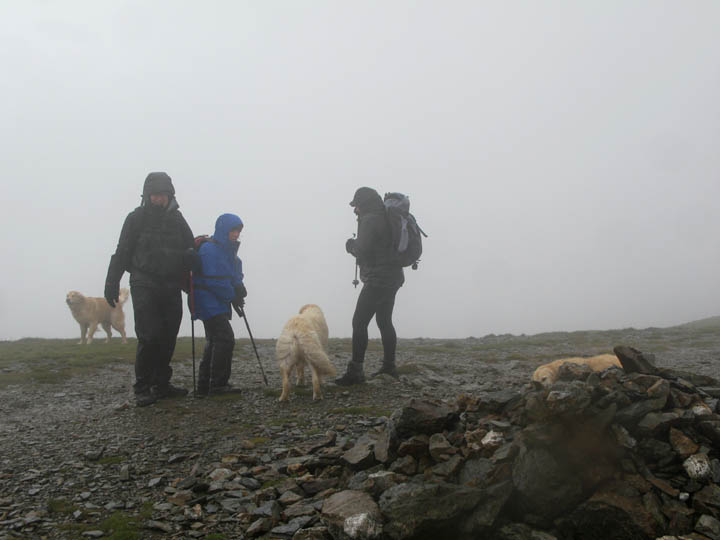
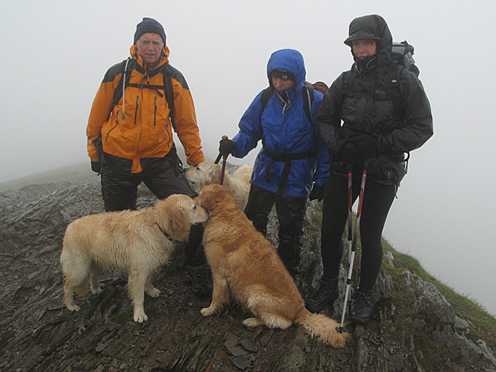
A brief lull in the storn allowed us to reach the summit of Hopegill Head. Myself, Ann and Dee with the three damp dogs. ( picture by John )
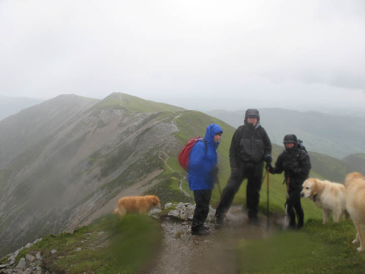
Our respite from the weather was short lived and we had a wet and blustery walk down from Hopegill and along the Whiteside ridge.
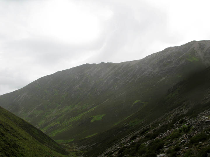
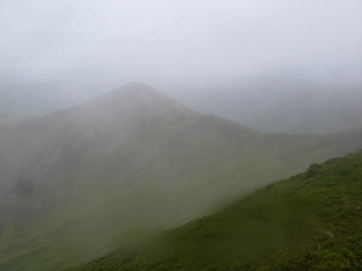
Ladyside Pike through the clouds and a rain soaked lens, as we dropped down from Hopegill Head.
Fortunately the wind was on our backs, but it was so strong on Whiteside summit that we had difficulty reaching the summit cairn. Dee reported having been blown off balance a couple of times, but a route just down from the ridge usually avoided the worst of the wind.
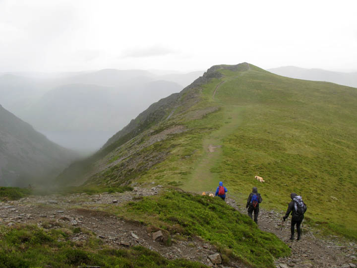
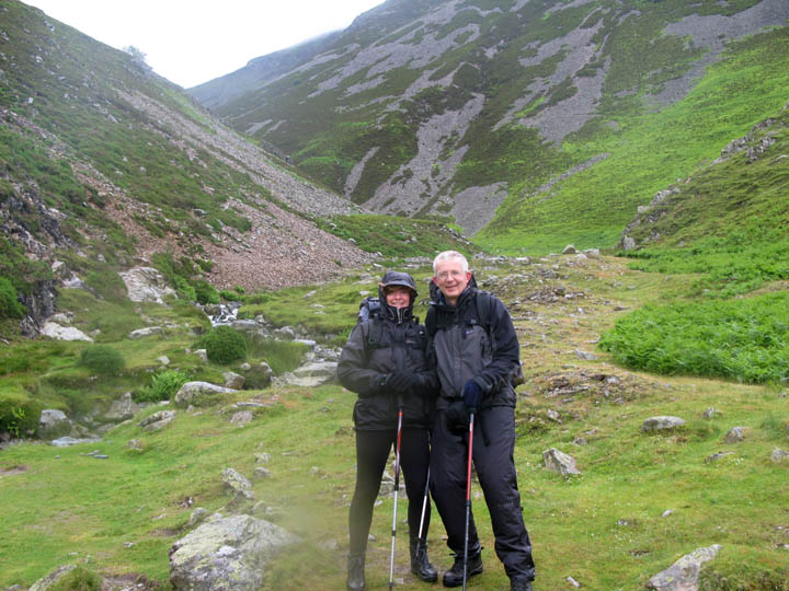
The last section now as we dropped down the steep slope to Whin Ben (seen just above Ann's head ). Lanthwaite Green and the car were below, but there was a lot of slippery rock and eroded path to negotiate in the strong wind.
A difficult descent more or less over as we reach the heathery slopes below Whin Ben Summit.
Dee and John with an expression which says . . . " Thanks for that - I think I enjoyed it ? "
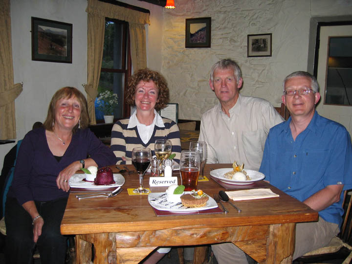
We certainly enjoyed our meal at the Kirkstile as we relaxed later in the evening.
|
- - - o o o - - - Technical note: Pictures taken with a Canon G7 Digital camera. Resized in Photoshop, and built up on a Dreamweaver web builder. This site best viewed with . . . good waterproofs and trek poles to help keep your balance. © RmH.2007 # Email me here # Guest book (on the front page) Previous walk - 12th June 2007 Andrew and his Dad go Low Fell bagging A previous time up here - 9th December 2006 A winter walk up Hopegill with a Keswick cloud inversion Next event - 19th June 2007 Helm Crag with The North Face
|