![]()

|
|
|
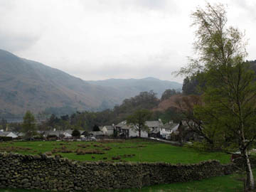
| Date & Time: Saturday 21st April 2007. 11.15 pm start. Location of Start : The Travellers Rest, Glenridding, Cumbria, Uk. ( NY 382 169 ) Places visited : Glenridding Dodd, Heron Pike, Sheffield Pike, Nick Head, Hart Side, Birkett Fell, the balcony path under Glencoyne Head, Nick Head again, then a return back through the Greenside Mines complex. Refreshment to end, very close to where we parked the car ! Walk details : 8 mls, 2,800 ft of ascent , 6 hours. Walked with : Anne and Andrew, Ann and our dogs, Harry and Bethan. Weather : Overcast with some sun but also some low cloud on the tops. Significantly windy in exposed places, and occasionally when we didn't think we were exposed too! The top of Glenridding village and the Travellers' Rest as we started the walk |
|
|
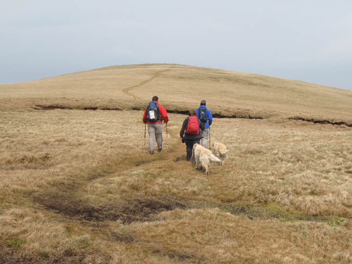
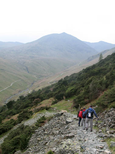
Today we joined with Anne and Andrew for a walk in the more eastern part of the Lakes, starting where we did for the Catstycam walk recently, but taking in the fells to the north west of the Helvellyn range. Our initial climb was a steep one onto Glenridding Dodd.
A quick warm up to start the day. Our return route would bring us back along the sloping grey path above the green grass above the mine buildings.
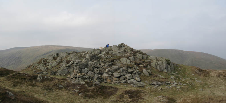
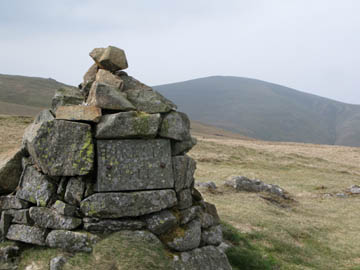
Our first summit, Glenridding Dodd and Anne takes time out to adjust the laces on her new boots.
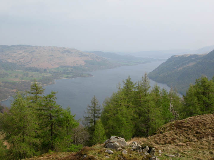
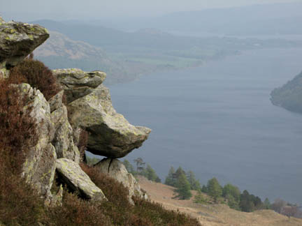
The middle reach of Ullswater from near the cairn.
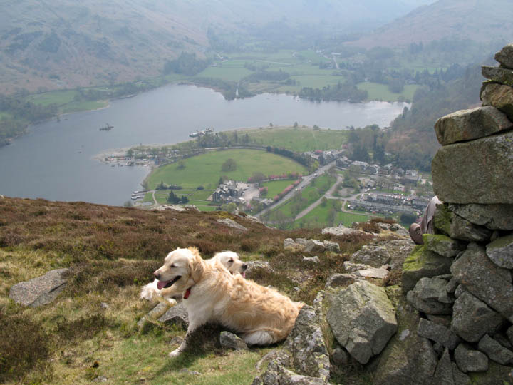
The Boat Club and the Steamer Pier from the secondary viewpoint overlooking Glenridding.
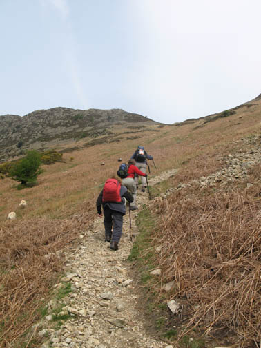
Heron Pike is to be our next summit. A second but less steep climb follows the sky-line to the left. It would warm us up again, except for the fact that as we gained height so the wind increased and cooled us down again.
Ann having a happy but a bad hair day on the windy ascent.
One of the old 1912 boundary posts on the way up. Silver Point and Place Fell on the other side of Ullswater are far below.
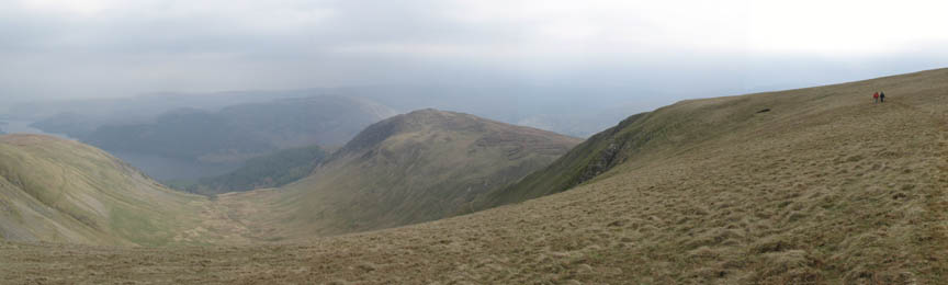
The main climb over, we had a gentle undulating walk towards Sheffield Pike. This was the rather hazy view of the Helvellyn Range, with Catstycam the pointed peak in the centre.
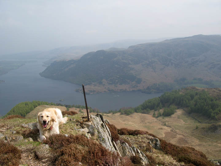
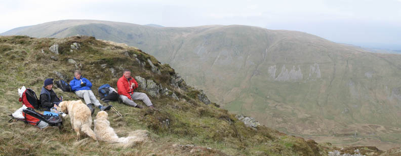
Anne and one of the dogs reach Sheffield Pike summit. The wind up here was quite warm, but sufficiently strong to encourage us to seek shelter for lunch.
Tucked in a hollow below the top we were out of the breeze, but still managed great views across to Hart Side and Birkett Fell.
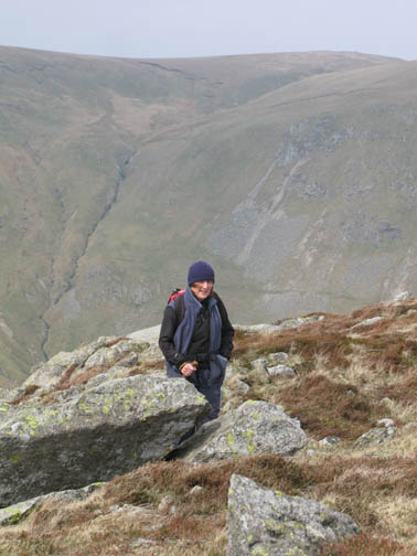
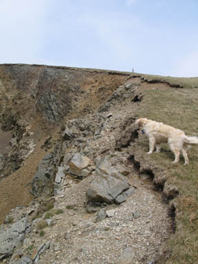
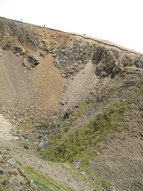
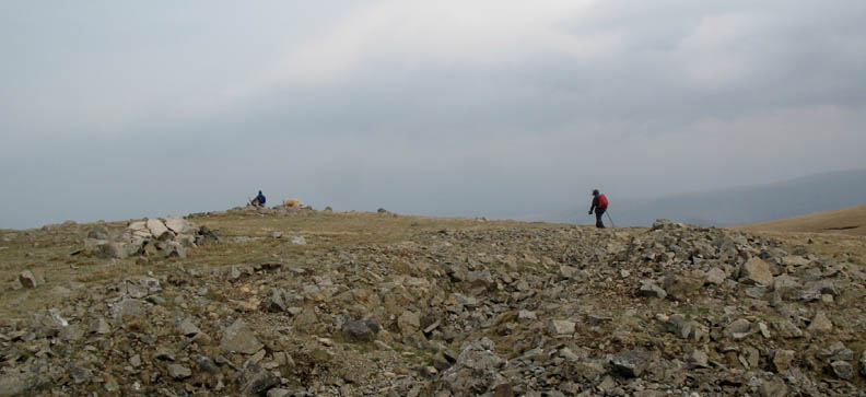
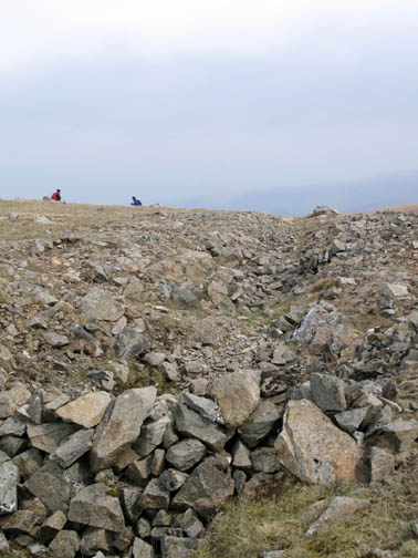
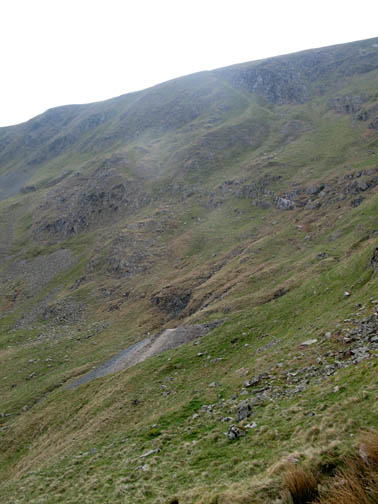
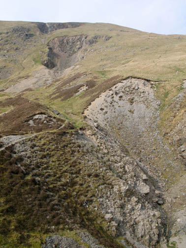
From Sheffield, we walked west to the col known as Nick Head and then up the opposite side towards White Stones and Hart Side. On the fell side there is a huge open gash which could have been a quarry. We decided that as there was no exit route it was more likely to be a major collapse of the underground workings of the top Greenside Lead Mines. You can see from the diminutive figures of Anne, Andrew and Ann in the middle picture, how large the hole in the hillside is in reality!
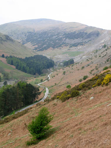
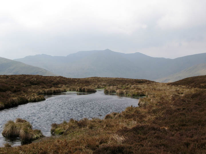
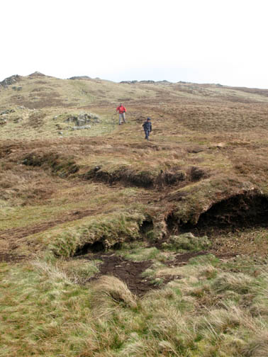
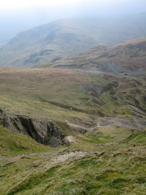
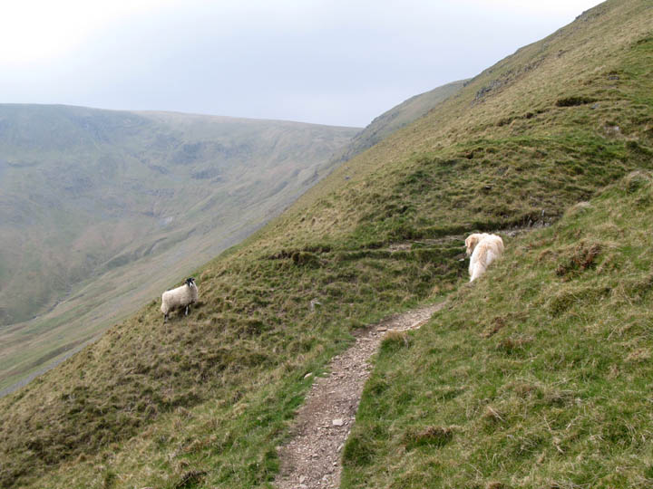
The walk to Hart Side is characterised by open moorland grass. The path is slightly indistinct in places but a route close to the edge of Glencoyne Head gave us views down the classic U-shaped glacial valley of Glencoyne. Sheffield Pike, from where we had recently walked, is the heather clad hillside in the centre of the picture.
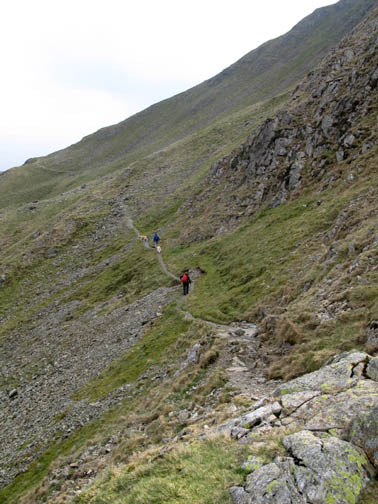
A more prominent path emerges as we climb the last moorland section to Hart Side.
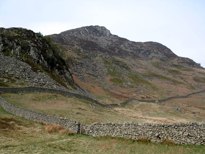
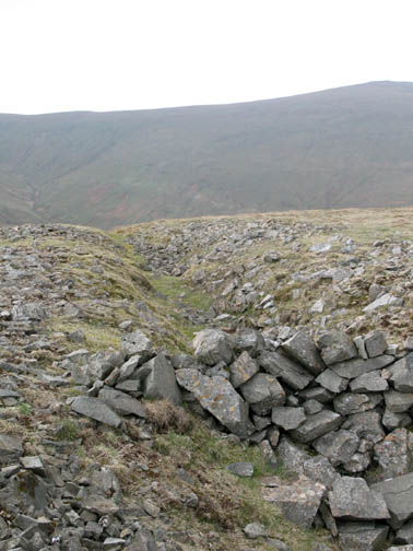
Hart Side - a rocky summit in the middle of the grassy fells. The summit looks rockier than it should because it has an unusual trench across it. It is believed to be an old exploratory trench associated with the lead mine workings that we had seen earlier in the walk.
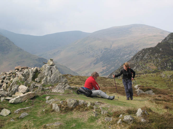
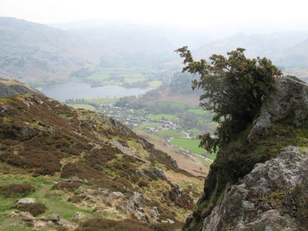
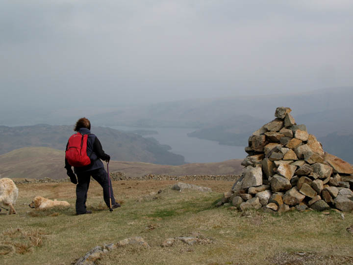
Birkett Fell cairn and the hazy view of the un-spoilt Ullswater below.
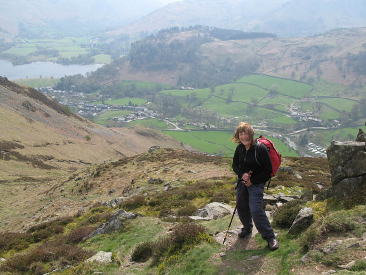
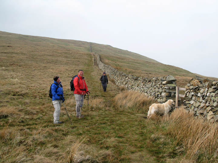
From the top we followed the wall down which made navigation easy. At the stile, the path from Watermillock and Dowthwaitehead hamlet crossed and we followed it as it makes it's way back towards Nick Head.
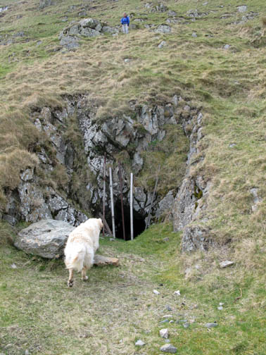
Just over the brow it joins the old miner's path from Dockray to become the balcony path under Glencoyne Head Crags. Harry pauses to check our route with a local inhabitant.
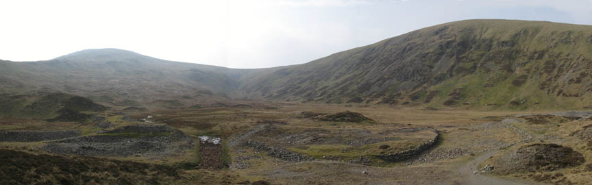
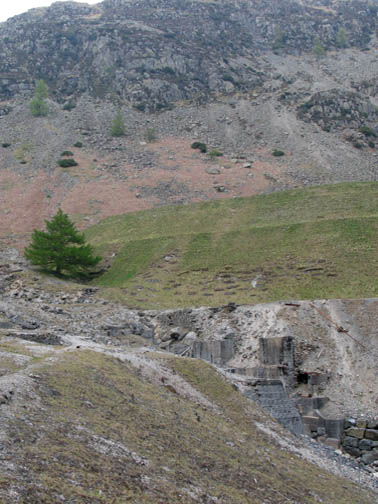
Behind are Raise, Sticks Pass and Stybarrow Dodd with the valley of Sticks Gill in the foreground. When the mine was working this was a reservoir and the remains of the dam and overflow can still be seen. Even in Wainwrights books, just fifty years ago, he mentions and draws the reservoir. It has reverted back to nature in recent years. The Sticks Gill stream sinks into the ground as it enters the mine area.
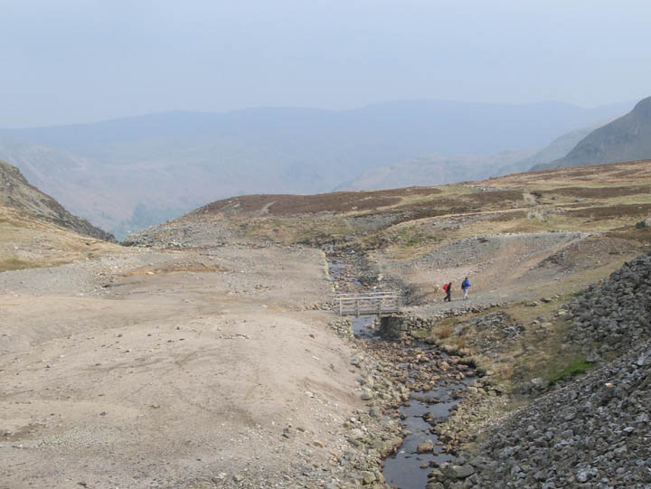
Below the spoil heaps the stream re-emerges, just above where the girls crossed the bridge.
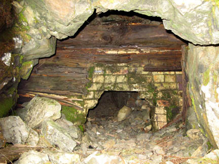
Looking down the rough ground that typifies the post-industrial Greenside Mine area. This area not only mined for lead, it also had a smelting works, which is the reason much of the land has not subsequently grown vegetation. The mine area is criss- crossed with old track ways, aqueducts and waterways, and evidence of the old ground-hugging chimney system that carried fumes up the mountain and away, thus preventing them having to build a tall chimney to deal with the poisonous fumes from the lead smelting.
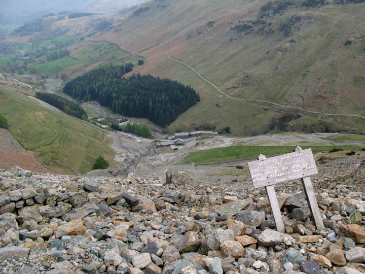
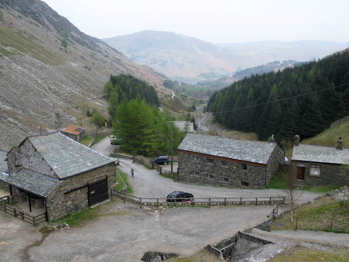
Back down to valley level as we pass the remaining old buildings. Several of these are now hostels and bunk houses, and the double gabled roof in the trees is the Green Side YHA. Just that short road walk back to Glenridding before we have chance to quench our thirst on the warm afternoon. |
- - - o o o - - - Technical note: Pictures taken with a Canon G7 Digital camera. Resized in Photoshop, and built up on a Dreamweaver web builder. This site best viewed with . . . a history book of the mines (I know . . . it's a bloke thing !) © RmH.2007 # Email me here Previous walk - 18th April 2007 Sale Fell from Wythop Church A previous time up here - 25th June 2006 Sheffield Pike and Hart Side with Jo and John Next walk - 27th April 2007 A local Loweswater Day
|