![]()

|
|
|
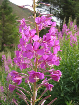
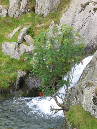
| Date & Time: Tuesday 8th August 2006. 11.30 am start. Location of Start : Hartsop village car park, Patterdale Valley, Cumbria, Uk. ( NY 409 130 ) Places visited : Satura Crag, round Rest Dodd, The Nab, Rampsgill Head, High Raise, Kidsty Pike, The Knott, Hayeswater and back to Hartsop. Walk details : 9 mls, 3150 ft of ascent , 6 hrs 5 mins. Walked with : Ann and the dogs. Weather : Forecast was for a dry but overcast day, getting cloudier from the west, possible rain. Rose Bay Willow Herb, in full bloom at the present. |
|
|
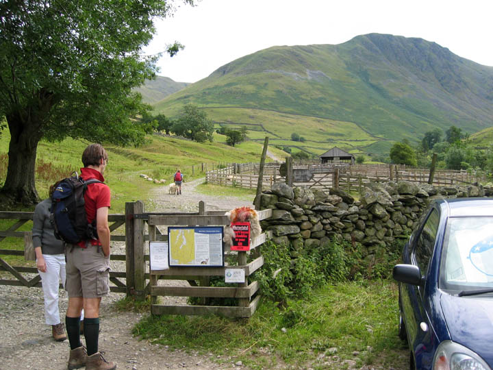
The start of the walk was at the car park at the top of the village, where there was a notice about the deer park on the hills above. There is always the chance of seeing the Red Deer on this walk but it's not guaranteed. We took the farm / water board track up past the sheep folds.
Looking south up Pasture Beck from the track. Ahead was Threshthwaite Cove and the col between Thornthwaite and Caudale Moor.
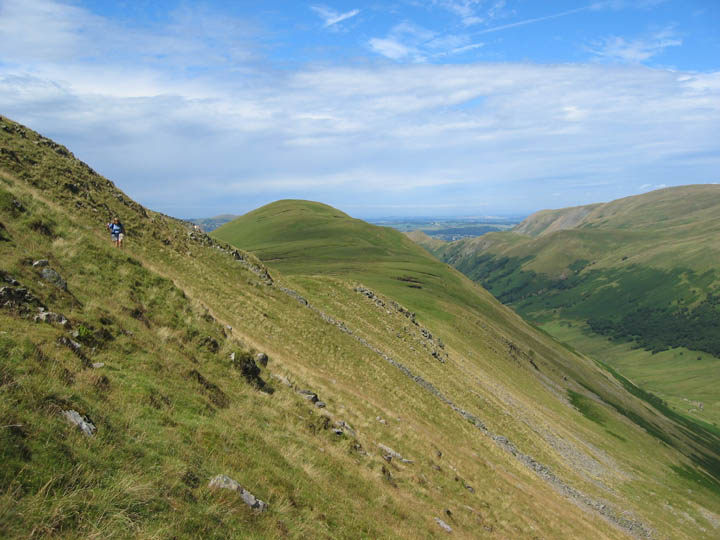
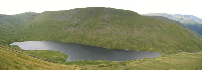
After leaving the village we quickly cut up the hillside to the left, across the face of Brock Crags and reached the ridge. Behind is Gray Crag and our first glimpse of Hayeswater. We would return via the reservoir later in the day.
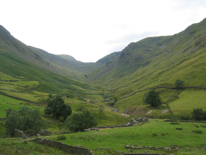
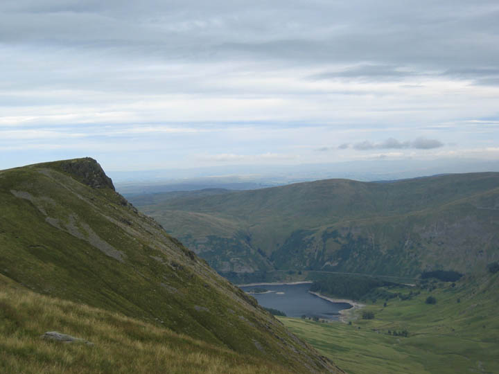
The view over the hill. From Satura Crags we were able to look right down the length of Bannerdale. Beda Fell to the left, The Nab to the right.
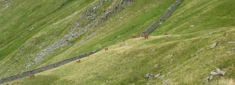
Down below there was something moving about by the wall. The animals were too brown and too big for Herdwick Sheep. On close inspection these were the Red Deer we had been keeping our eye out for, and there was a herd of about twenty in number. During the day that total reached nearer fifty as we spotted different groups on the various fell sides.
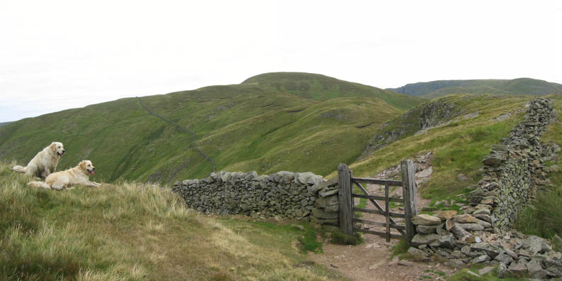
Time to move on and our route ahead can be seen here leading on through the gate. Rest Dodd is the rounded fell ahead but we chose to skirt round it, and join the wall as it disappeared over the top.
Over the top, there's the wall again. The Nab ahead was out of bounds for years being a private estate but it is now accessible due to the "Right to Roam" legislation, and we can visit without trespassing.
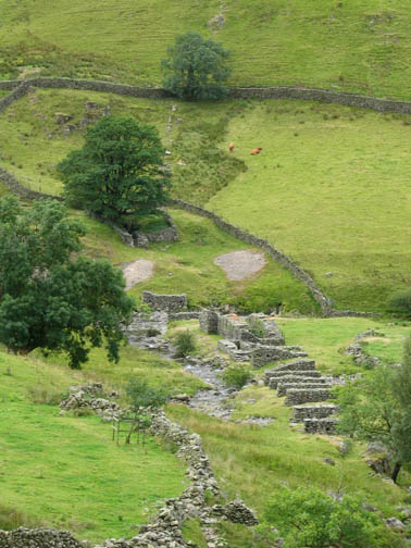
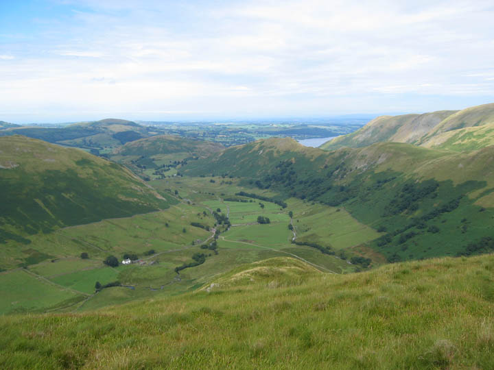
The view from the Nab, looking down on Dale Head Farm, and along the length of Steel Fell till it ends with Hallin Fell and Ullswater in the distance.
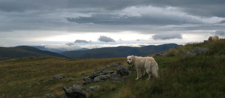
Totally unplanned, we met Peter Rigg on the summit of the Nab. He was there with Sophie, one of his two retrievers, the other having a time off due to a poorly leg.
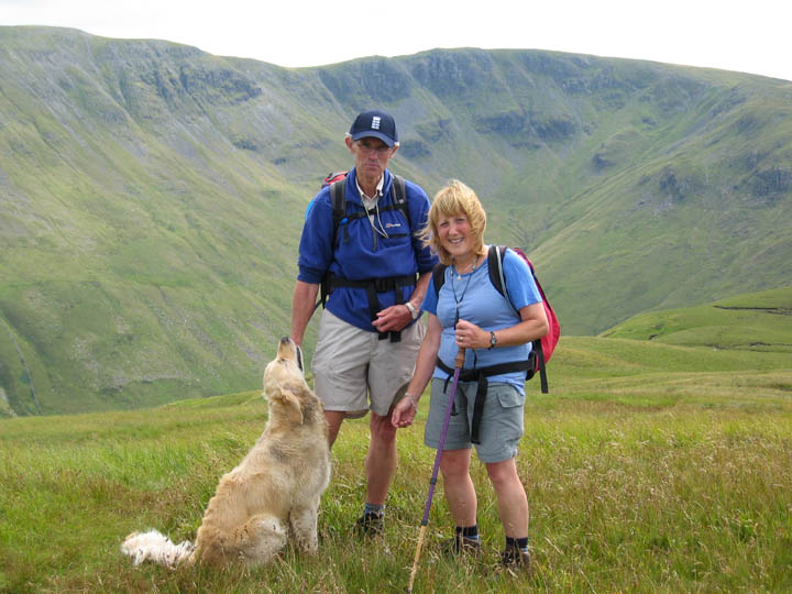
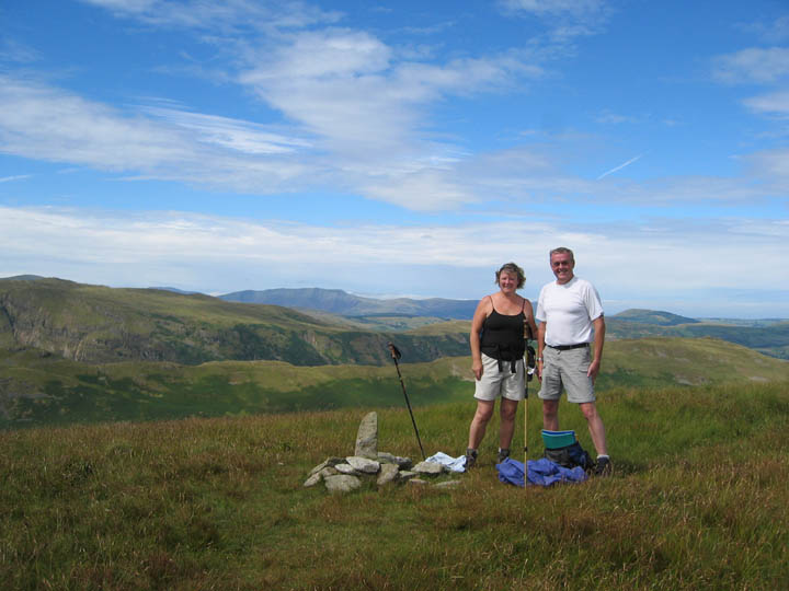
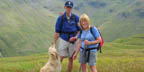
While we were there we also got talking to this couple, John and Eve. We promised them fame, fortune and the like which may follow from a mention on Loweswatercam. I hope they wont be disappointed if it doesn't happen. The weather was still very favourable and visibility was good, as can be seen from the clear view of Blencathra in the distance behind them.
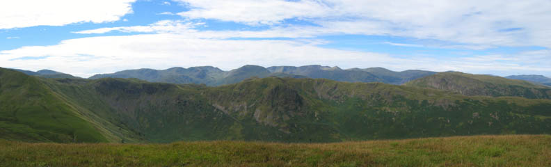
To the west, the Helvellyn Ridge with St Sunday Crag, the rounded peak above the high ground of Angle Tarn Pikes, and the conical summit of Catstycam just standing clear further to the right.
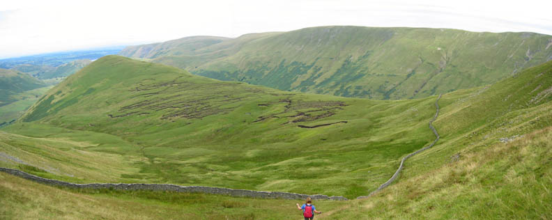
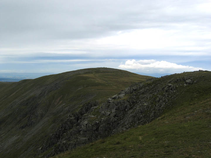
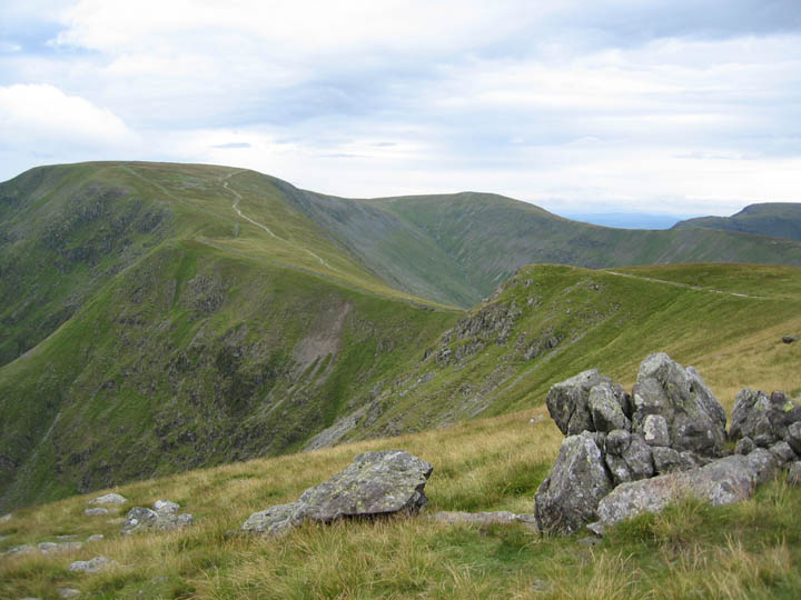
To the south was Rest Dodd with it's prominent wall than we had walked alongside earlier. Behind it to the left is Rampsgill Head, our next objective.
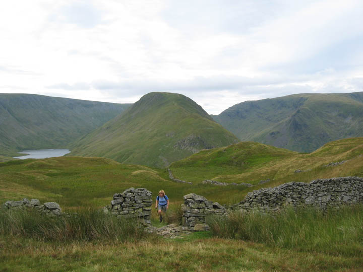
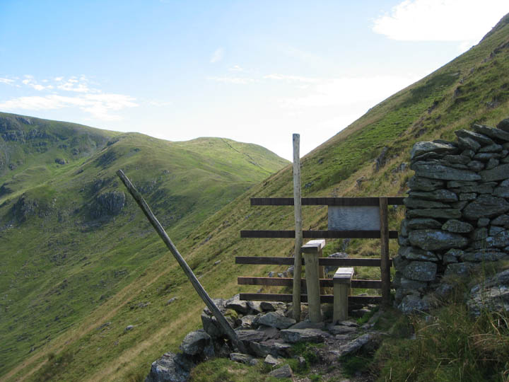
Where the wall ends there is a stile and a decision must be made. Do you cross and climb steeply up over Rest Dodd, or do you do a careful horizontal traverse across the fell side ?
We chose the latter, but be warned, it's steep and there's no path.
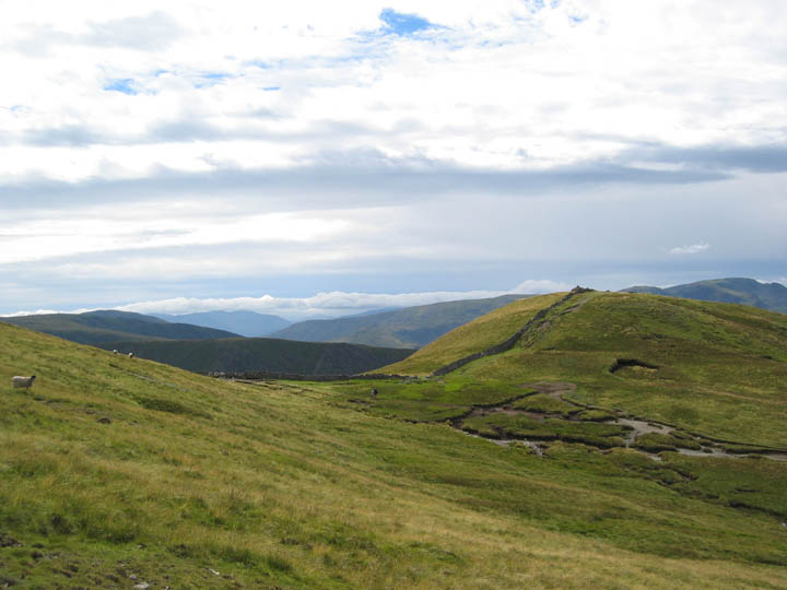
Once back on the main climb, we cut a corner again avoiding The Knott, and made directly for the top of the ridge. In the distance, the first sign of the approaching cloud from the west.
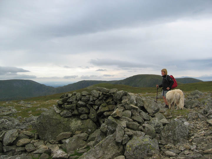
Having made our second summit of the day, Rampsgill Head, we took the opportunity for a brief rest and a slightly late lunch. Ahead was a relatively easy walk to High Raise, but first "home made bread" sandwiches with a choice of succulent mediterranean fillings. We're here to enjoy it. Why slum it with mere biscuits!
Ah yes . . . we're here for the walk too ! This was High Raise and the partial wind shelter close to the summit cairn. The sky is more overcast now and time for an extra layer of wind proof clothing.
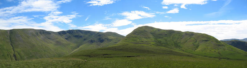
Kidsty Pike and it's distinctive angular summit,with the head of Haweswater Reservoir below. Kidsty is the prominent peak you can see from the M6 Motorway, if you reversed this photo. Branstree is the fells opposite.
Back to the Roman Road now as we regain the ridge near Rampsgill Opposite are Twopenny Crag, Short Stile, the flat summit if High Street and Thornthwaite Beacon.
Interesting clouds have been a feature of the afternoon, never more so than in this picture looking towards Fairfield in the west.
Losing height rapidly as we drop down from The Knott towards Hayeswater.
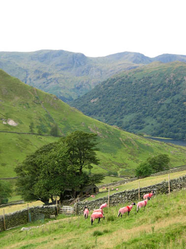
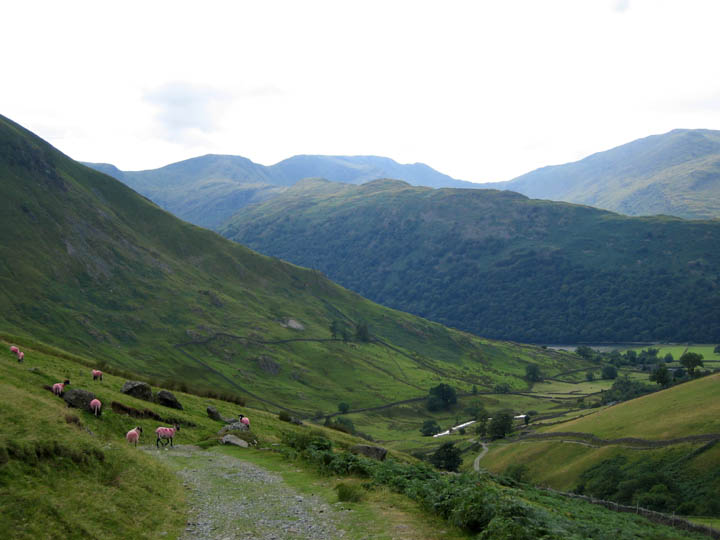
The end in sight as we return to Hartsop. The sky has changes colour from brilliant blue to grey during the day, but those sheep are just as colourful as when we started !
|
- - - o o o - - - Technical note: Pictures taken with a Canon IXUS 400 Digital camera. Resized in Photoshop, and built up on a Dreamweaver web builder. This site best viewed with . . . a flock of psychedelic sheep. - - - o o o - - -
- - - o o o - - - Go to Top # © RmH # Email me here # Go to 2006 Archive Previous walk - 3rd August 2006 A classic day on Scafell and Slight Side A previous time up here - 2nd July 2005 The Alternative OFC Great Roman Walk
|