![]()

|
|
|
|
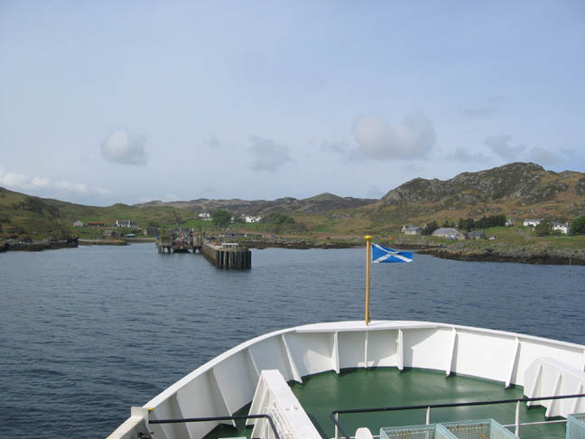
" Colonsay " Date : Wednesday 17th to Friday 19th May 2006. Occasion : Exploring Colonsay and a walk over to Oronsay. Location : Colonsay Island, south of Mull north of Islay and Jura - Scottish west coast. On holiday with : Ann and the two dogs. Weather : Improving but not consistant. Colonsay - arrival at Skalasaig |
|
|
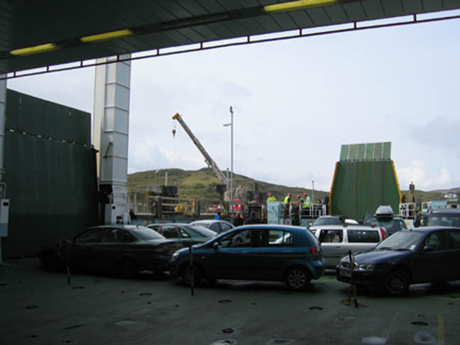
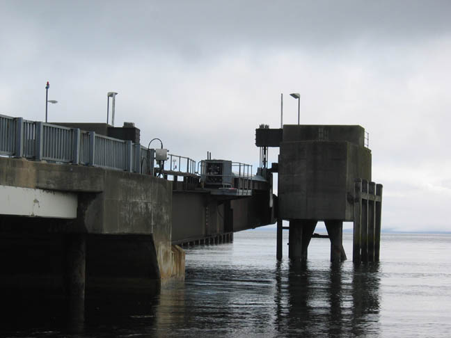
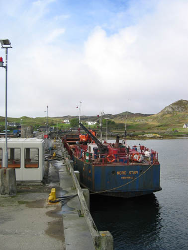
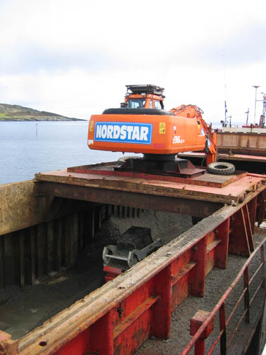
Due to on going maintenance the roll on roll off facility was not available (hence the crane) so there was a slight dilemma as to how they were going to get us off the car deck onto the jetty some five feet higher. Technology came to their aid however, as can be seen if you hold the cursor over the picture.
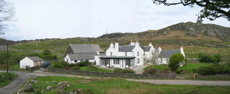
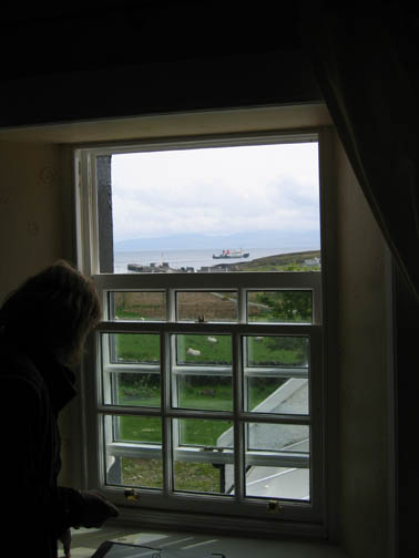
Safely ashore. The hotel was just a short drive up from the harbour.
Time to get out now and explore the island we had come to see.
The island is only about seven miles long, ten with Oronsay included, and about three miles wide at its widest. It was small enough to have that island feel, yet large enough so that there was plenty to see and to explore.
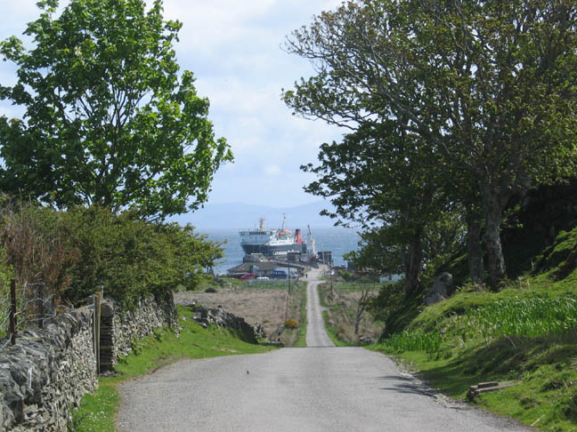
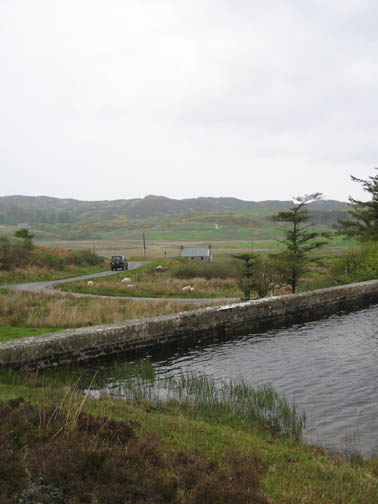
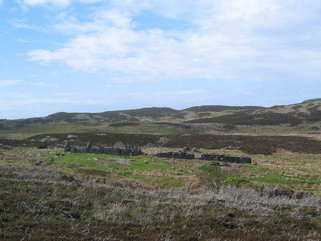
Next day we walked locally from the hotel to the old village of Riasg Buidhe. The old abandoned village was further north round the coast, so we started by walking down to the jetty.
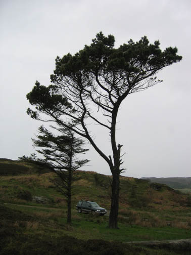
The Scots have a different attitude to footpaths and rights of way it seems. The maps show very few paths, and signposting here and on Arran was not as plentiful as back home. This meant we were sometimes uncertain whether a stile was someone's private path or was in fact the preferred route to follow. Route planning was more difficult as there are few obvious pathways marked on the Ordnance Survey maps. Never mind, open moorland is still open moorland in this part of the world.
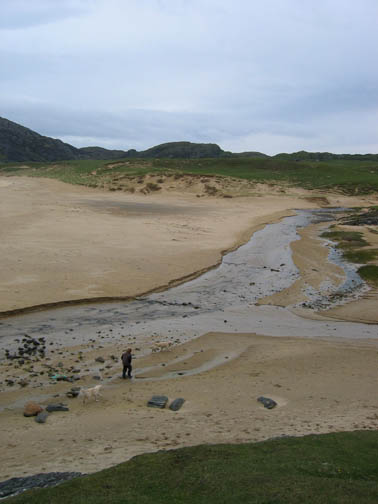
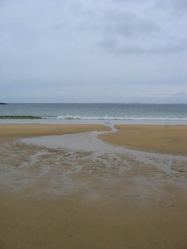
A short road walk was followed by a section of rough walking on the vague footpath along the coast.
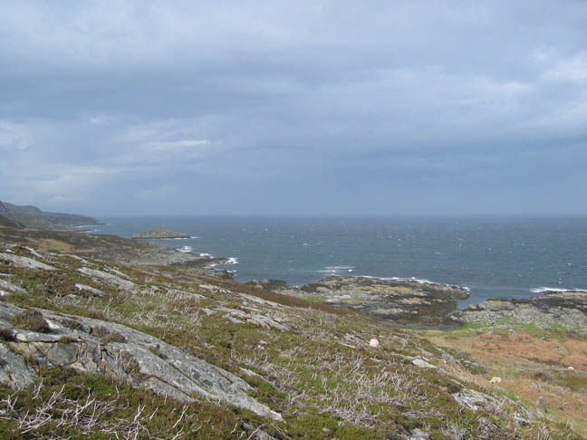
Wild country here, plenty of seabirds and a first sighting of a Golden Eagle, rather distant and blurred in the only photo I took (not shown) , but it was unmistakable in its size and wing shape.
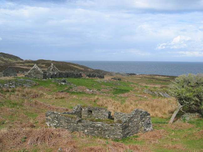
Over the brow to find the old village, not on the coast but set back on the hillside. I believe that it was abandoned in the 1930's when new housing was provided for the villagers close to the harbour.
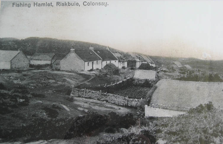
The hotel had this old picture which I managed to photograph.
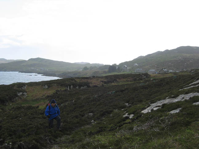
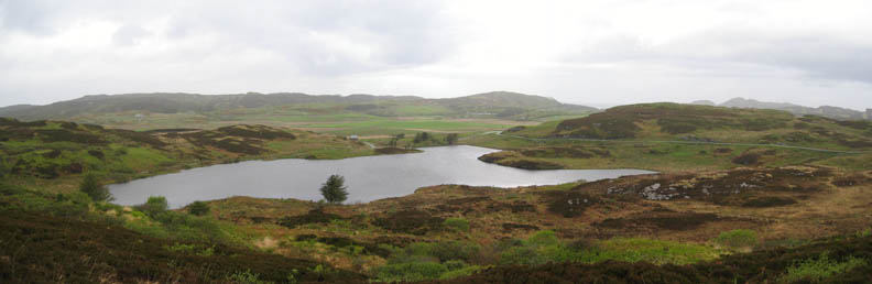
We walked back across the high ground and could see the hills beside Kiloran Bay and the lower hills on the islands west coast, giving a better impressions of the size of the island.
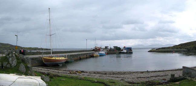
Another local morning walk, this time in better weather. We started by walking down to the harbour to see what all the activity was about. It wasn't the CalMac contractors as they had finished renovating the jetty mechanis. which they hoped would now be be good for another twenty years.
The other activity centered around another civil undertaking on the island, the upgrading of the airstrip. Another set of contractors were landing road stone, and a couple of lorries were busily transporting it across the island to where a team of excavators and levellers were making a longer, wider, and hopefully rabbit-free runway.
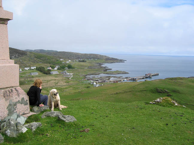
Ann and Harry at the monument overlooking the bay. The structure was built to commemorate Lord Colonsay, the one time island Laird.
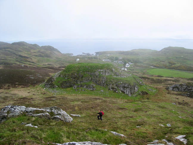
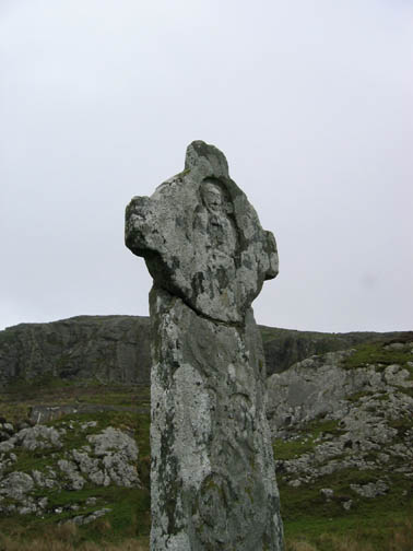
We continued onward and upward from the monument (on the high ground to the right) and across to an old hill fort known as Dun Eihbinn. This rock fortress was home Viking Kings in the 11th Century, and later to Somerled and his son Donald (who started the Clan Donald). It belonged to the Macfie's or MacDuffie's in the 13th century and provided many of the Priors for the Priory on Oronsay. It ceased to be used during the 17th century.
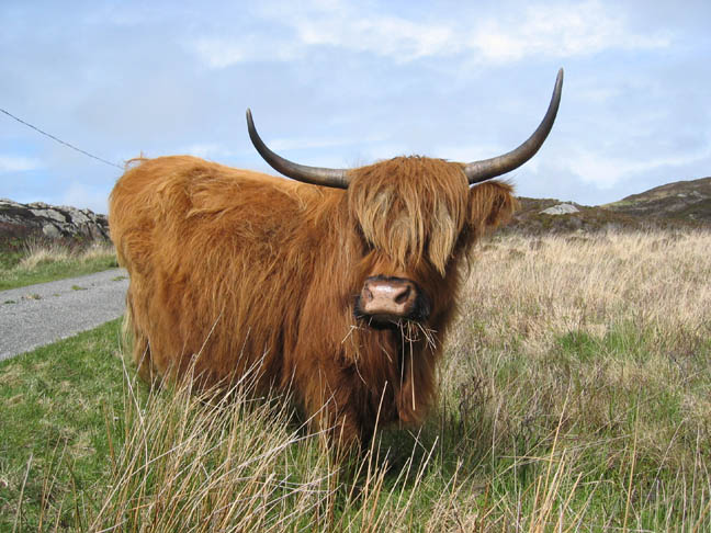
A friendly Highland Cow as we drove towards Oronsay later in the day.
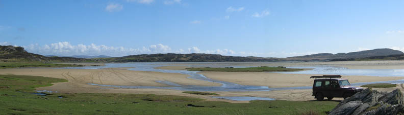
The sun was shining today as we made our way across the causeway.
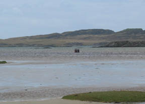
Oronsay from Colonsay mainland. Our route passes to the left of the grassy island !
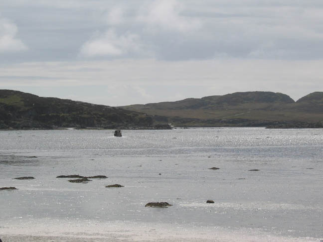
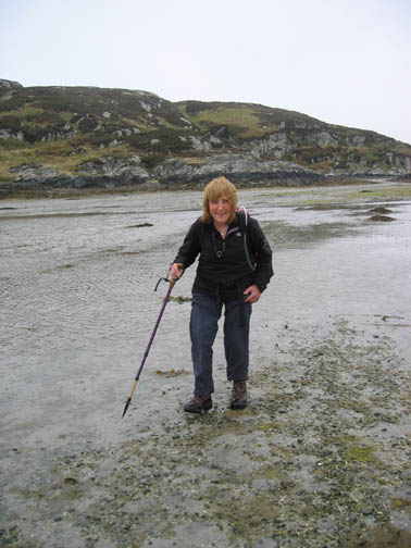
We followed the tide out as it receded across the sand.
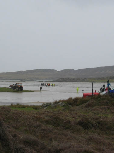
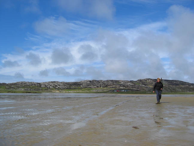
However, the owner of the Oronsay farm was more confident of his route and of the causeway itself.
He braved water a foot deep as he crossed to the island, but at least it showed us the route we needed to follow.
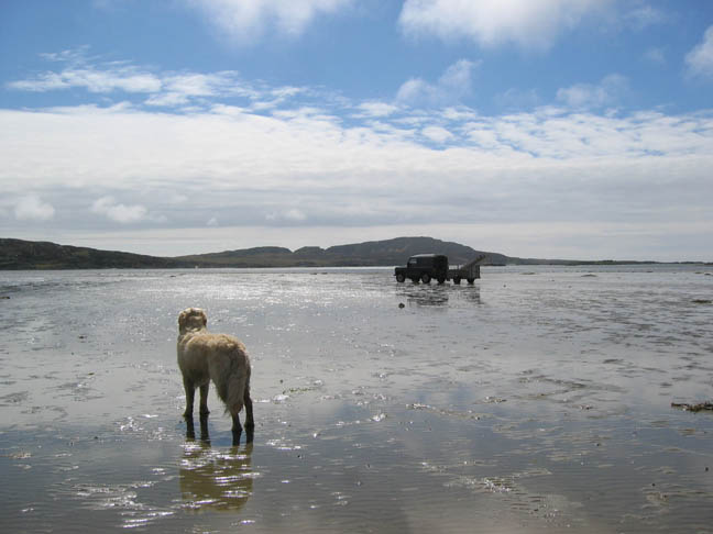
A new island for us as we completed our crossing of the causeway.
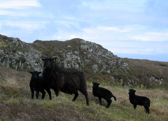
Black sheep - variety unknown.
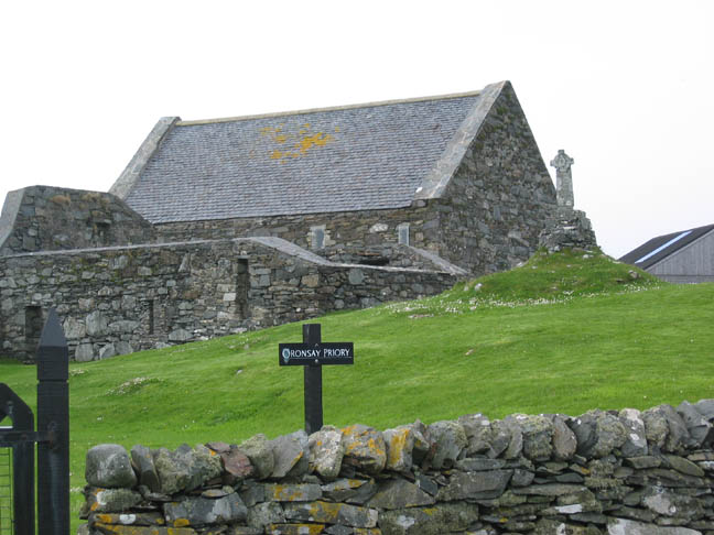
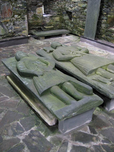
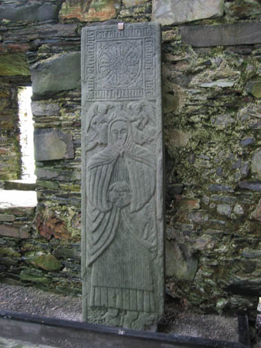
A mile across the causeway and another mile on the island road brought us to the ancient priory. This was an important religious centre in the 14th Century and for the next two hundred years. The ruins are remarkably well preserved.
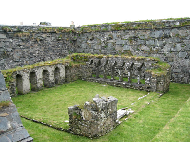
The Cloisters
|
- - - o o o - - - Technical note: Pictures taken with a Canon IXUS 400 Digital camera. Resized in Photoshop, and built up on a Dreamweaver web builder. This site best viewed with . . . . a good local tide table. Go to next page - Go to page 1 2 3 4 5 Go to Top # © RmH # Email me here # Go to 2006 Archive
|