![]()

|
|
|
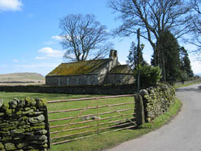
| Date & Time: Saturday 23rd April 2006. 2 pm start. ( Map ref: NY 362 303 ) Location of Start : Mungrisedale Village (by the phone box) Cumbria Uk. Places visited : Bowscale Village, Tarn and Fell. Bannerdale Crags and return to Mungrisedale. Walk details : 7.2 mls, 2000 ft of ascent, 4 hrs including a late lunch stop. Walked with : Ann and the dogs. Weather : Sunny and warm, a slight breeze, and excellent long distance visibility. Mungrisedale Church |
|
|
We started this circular walk with a 3/4 mile road section so as arrive back directly off the fells to the car. The walk however, was a delight as we passed through the small village with it's old church and profusion of daffodils. The photo shown Souther Fell, Bannerdale Crags and The Tongue (an outlier of Bonscale Fell) rising behind the village.
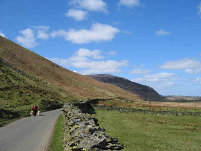
The short road section under Raven Crag, towards Carrock Fell in the distance.
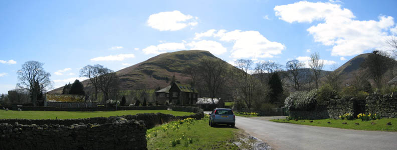
Turning onto the un-made track at Bowscale Village, we started a gentle climb up the Mosedale Valley. This is another of the Lake District's many Mosedales and leads us into the fells "back o' Skidda"
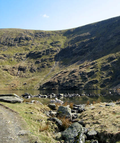
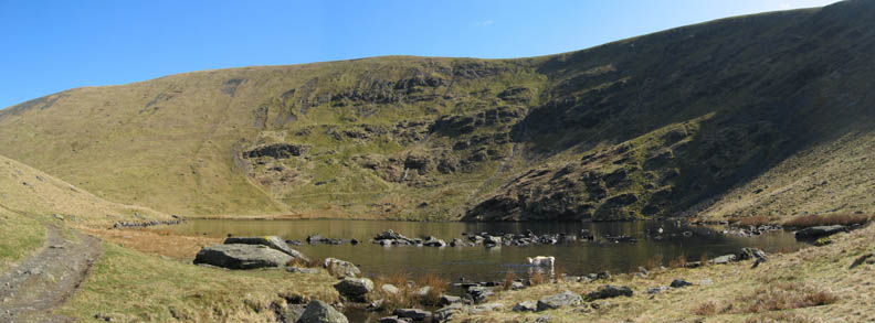
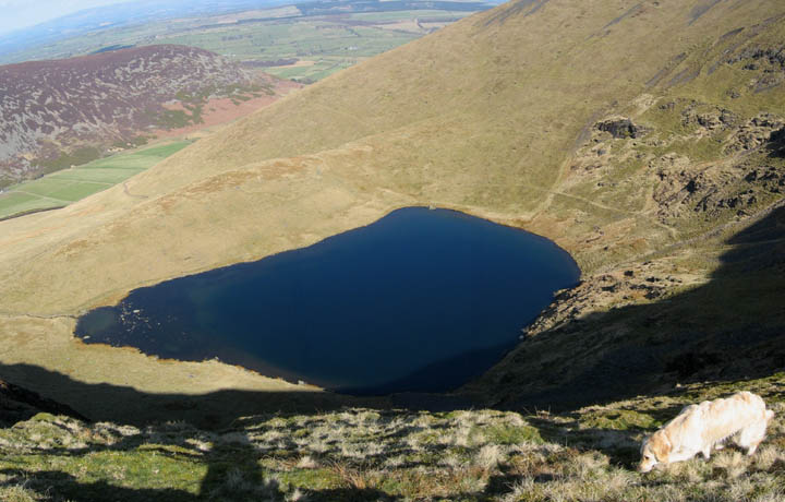
A final steeper section as the track changes to a path and suddenly round the last turn we are greeted first by the steep cliffs on Bowscale Fell, and then by the full panorama of the lake itself.
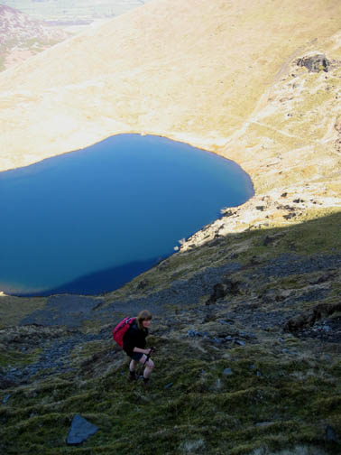
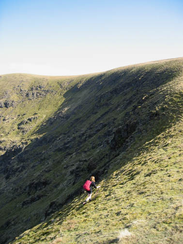
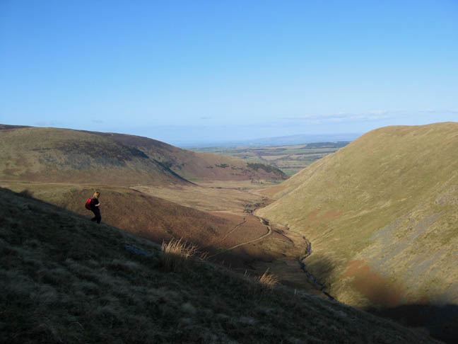
Harry taking full advantage of the cool water on this hot day. Our route continued on the track to the left and skirted around the tarn on the rising path opposite. Once it entered the shadows at the top pointed section of the sunlit crag opposite, it was every man for himself as we picked a route up through the rough crag. Some sections showed signs of a pathway, some were more down to meandering sheep and flowing water disturbing the soil and stones.
Looking back down on our climb Last time we took the direct path up from the outfall to the ridge, but this time we took the circular path which was a delightful diversion.
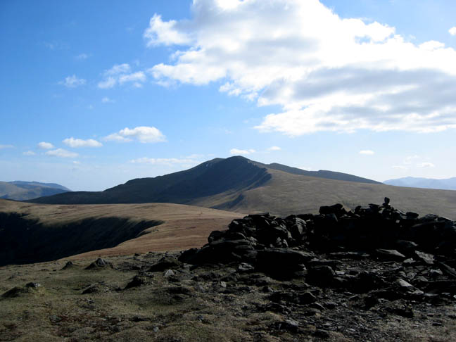
Skiddaw Little Man, Skiddaw and Great Calva from the top of the Crags.
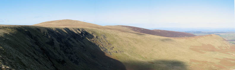
The low summit shelter on Bowscale Fell. Behind are the Blencathra Fells and Sharp Edge can just be seen as a black silhouette. Click here or on the photo for a wider panorama
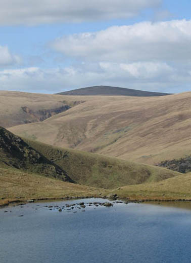
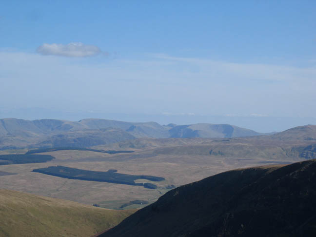
Close up on High Street and Stoney Cove Pike, over Gowbarrow and Watermillock Common. The pointed fells in the gap are Froswick and Ill Bell.
A close up of Foule Crag and Blencathra from our lunch spot.
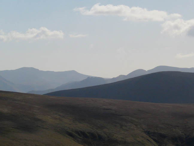
Also a delight to make out the distinctive shape of Causey Pike amongst the NW Fells.
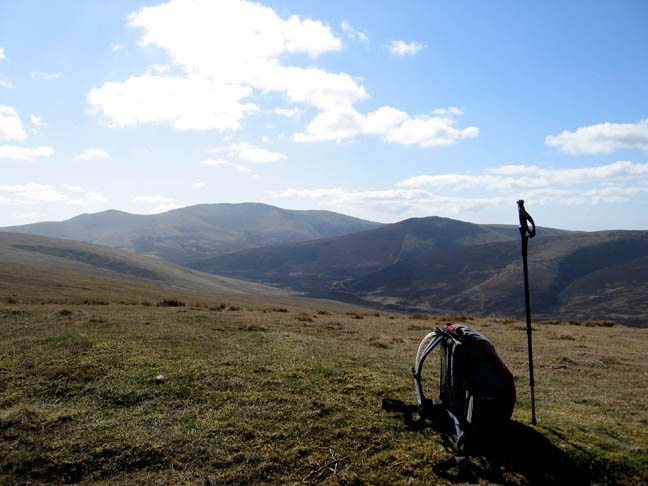
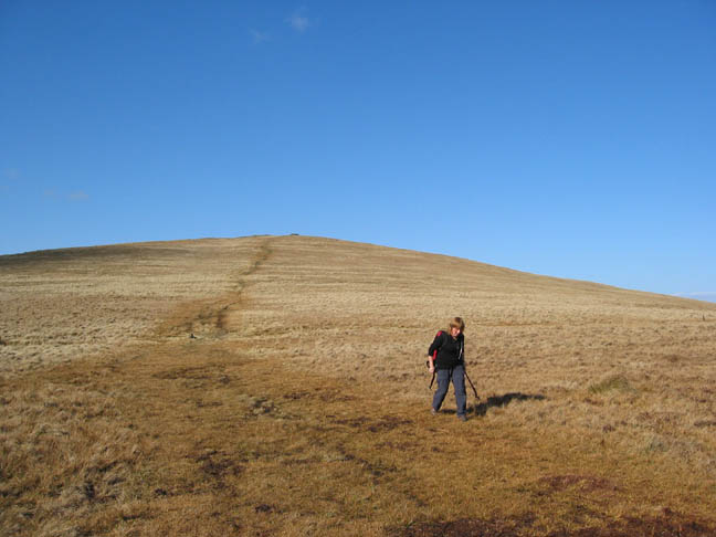
Time to move on from our first summit down across the grassy moorland towards Bannerdale.
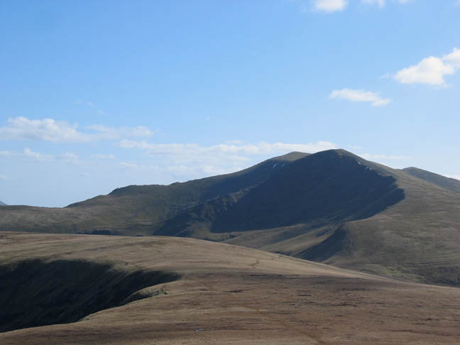
The Bannerdale Crags and a descent route down the Tongue but we are continuing around the crags to Bannerdale summit itself.
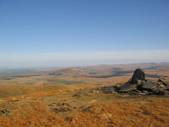
Several large but weathered slate slabs mark the top of Bannerdale Crags summit.
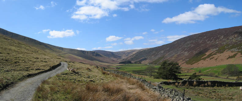
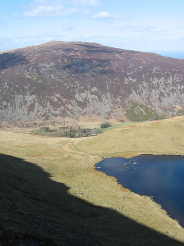
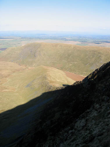
Our descent route is off the end of the fell more in the direction of White Horse Bent. Below the Glenderamakin River skirts Souther Fell towards Mungrisedale.
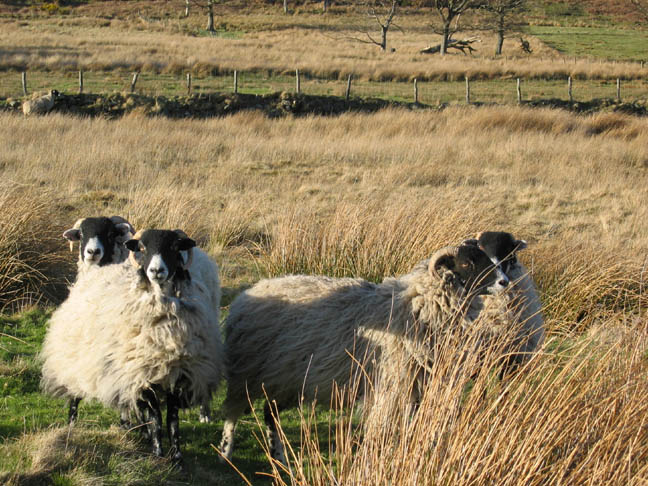
Grown up lambs on our walk back to the car.
Still glorious sunshine as we return after our four hour circuit of the Mungrisedale Fells.
|
- - - o o o - - - Technical note: Pictures taken with a Canon IXUS 400 Digital camera. Resized in Photoshop, and built up on a Dreamweaver web builder. This site best viewed with . . . convertible trousers, for hot afternoons. Go to Top # © RmH # Email me here # Go to 2006 Archive Previous walk - 20th April 2006 Arthurs Pike, Bonscale and Loadpot with Jo Previous time up here - 10th April 2006 One Cockup after another - or "Making a Meal of it".
|