
|
|
|
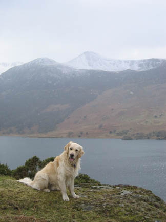
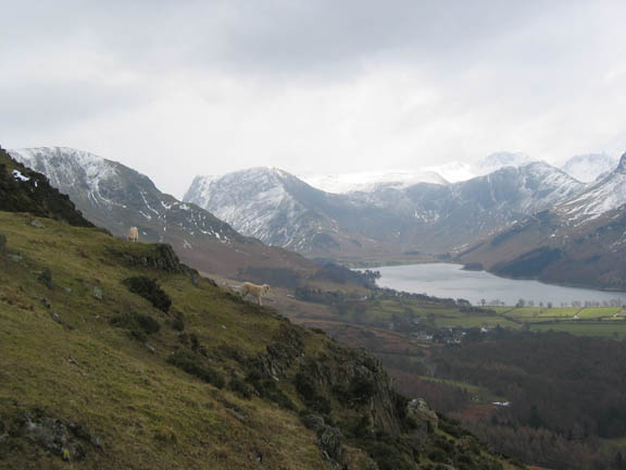
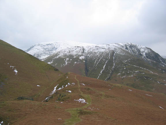
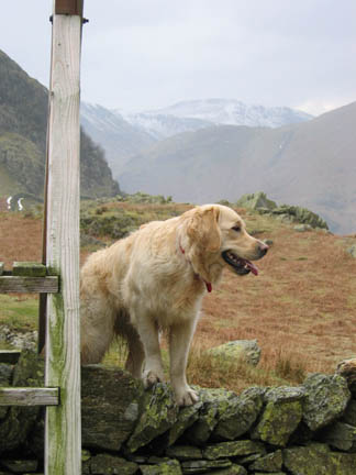
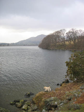
| Date & Time: Thursday 16th March 2006. 1.30 pm start. ( NY 163 183 ) Location of Start : Hawes Point, Buttermere Valley, Cumbria, Uk. Places visited : Rannerdale Knotts, Rannerdale Beck, Lanthwaite Woods. Walk details : 4.9 mls, 1230 ft of ascent 1200 back down, 1 hrs 50 mins. Walked with : The dogs and the camera. Weather : Overcast with frequent snow flurries. Cool with a breeze at times. Harry on Rannerdale with snow covered Red Pike behind. |
|
|
The dogs needed a good walk and I had the chance of a lift to Rannerdale so a linear walk was in prospect, Rannerdale to home. This was the start point, Hause Point on Crummock Water.
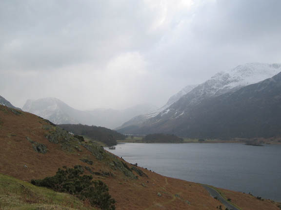
A passing snow shower at the head of Buttermere. Lorton and Loweswater is experiencing a totally different climate to the south Lakes at the moment. All the fields and lower ground is clear of snow but the high fells have a mantle of white. Frequent snow showers overnight and today have had little effect on the valley.
Honister Crags and Fleetwith Pike grayed out by the snow. Wood House is the house in the foreground, B&B's a speciality !
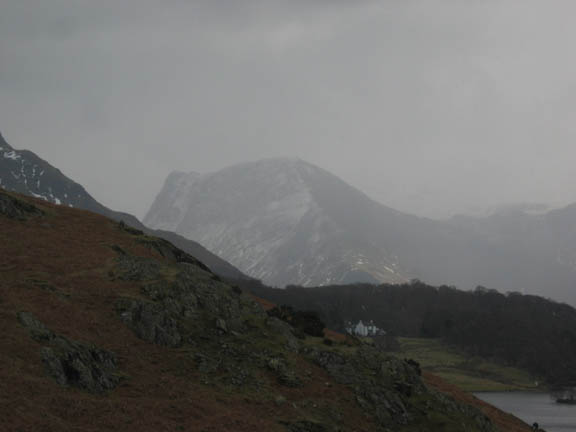
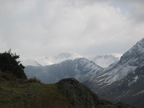
The shower passed, and Gable and Kirk Fell are visible again.
Close up on Gable Despite being reasonable down here, I bet the conditions up there are are distinctly chilly.
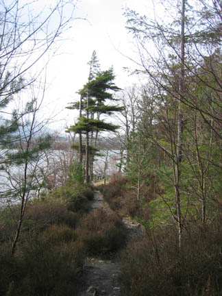
My route was up the front of Rannerdale Knotts, veering off track to add a small scramble to the summit rocks. This is Buttermere, with the village of the same name beyond the trees in the middle distance.
Robinson, with High Snockrigg in front, as seen from the ridge of Rannerdale Knotts. I followed the ridge back and then cut down into the valley on the left.
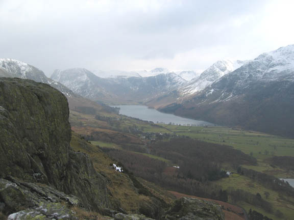
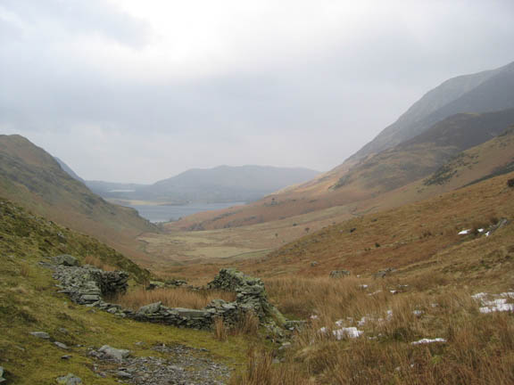
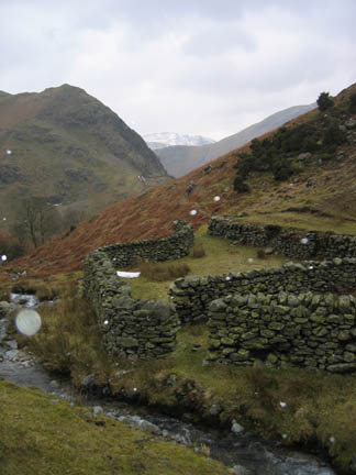
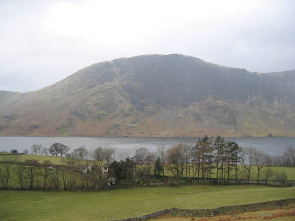
The sheep fold in Rannerdale Valley with Crummock Water and Low Fell in the distance.
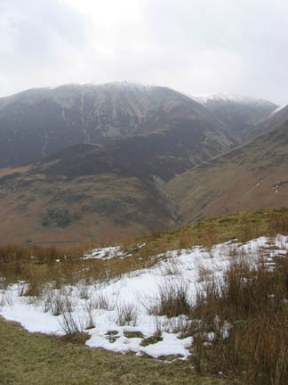
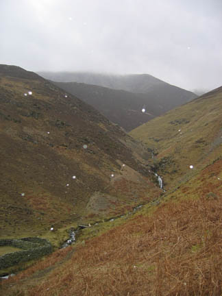
Wandope is the hill above the falls, and Great Borne the one behind Bethan.
Melbreak and Rannerdale Cottage in the foreground. My route took me across the fells just above the intake wall, joining the road at Cinderdale.
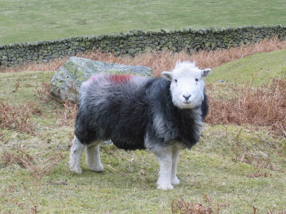
A local herdwick, well wrapped up against the cold.
Cinderdale and the road with another snow flurry, this time to the north.
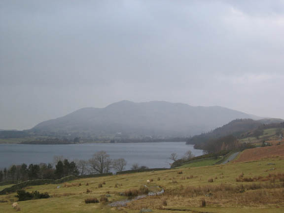
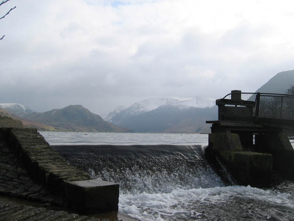
The weir at the northern end of Crummock, with the High Stile Ridge in the background. Despite only having a small four foot weir, the lake is still an important part of the Cumbrian water supply system.
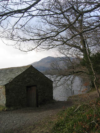
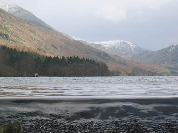
The Boathouse, Whiteless and Rannerdale, taken from a low angle, just above the surface of the water.
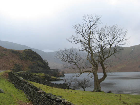
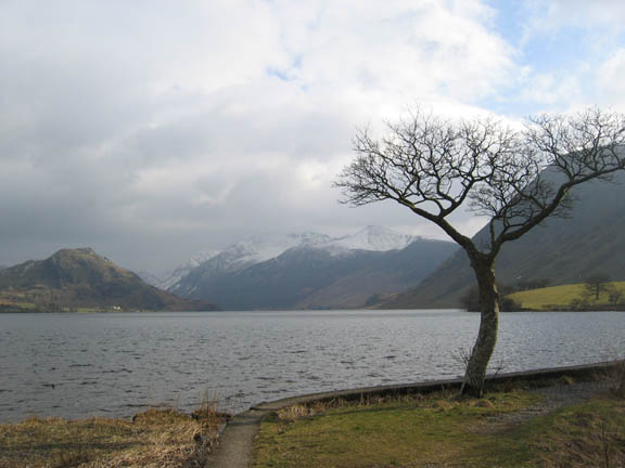
Nearly home - the small tree near the pump house on Crummock. Rannerdale and Hawes Point, my starting place, is centre left. High Crag, High Stile and Red Pike are the snow covered fells. |
- - - o o o - - - Technical note: Pictures taken with a Canon IXUS 400 Digital camera. Resized in Photoshop, and built up on a Dreamweaver web builder. This site best viewed without . . . an urgent Blood Doning appointment at 4.30 pm. ( and you thought life in the Lakes was simple and leisurely ) Go to Top # © RmH # Email me here # Go to 2006 Archive Previous walk - 15th March 2006 Grasmere and Loughrigg in the snow Previous time up here - 25th August 2005 A Guided Walk in Rannerdale
|