
|
|
|
|
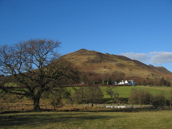
Date & Time: Saturday 28th January 2006. Location : Low Fell, Loweswater, Cumbria, Uk. Occasion : An afternoon walk to celebrate another beautiful and sunny winter's day. Walk details : 2 1/4 hrs 2.6 miles 1100 ft of ascent. Weather : Blue skies all the way Low Fell from the Loweswater fields |
|
|
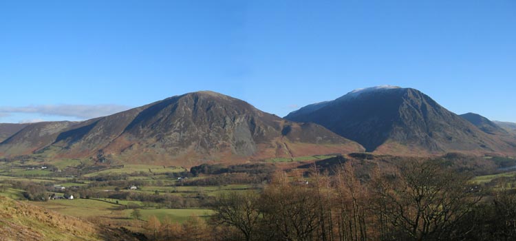
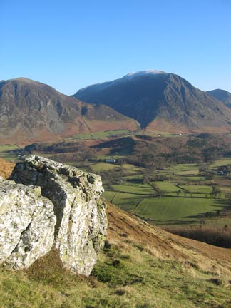
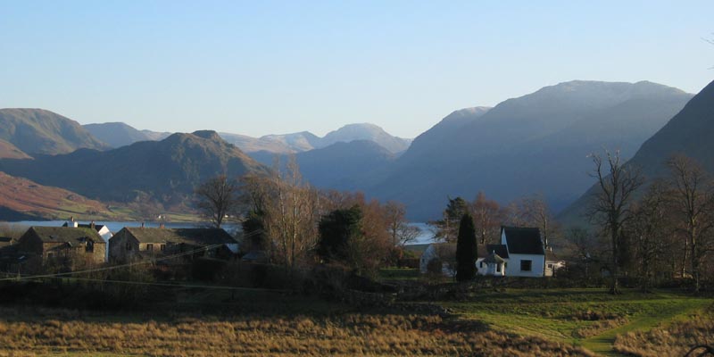
Due to a busy morning and impending visitors late afternoon we opted for a local walk on Low Fell opposite the cottage. As we climbed the first field, one of the attractions of living here came into full panoramic view . . . . 12 Wainwright tops, from Grasmere on the left, to the Gables at the head of the valley, round to Melbreak on the right
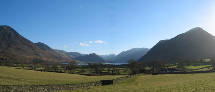
Zooming in on Green Gable, Great Gable, and Haystacks at the head of Buttermere Valley In front, the darker promontory of Rannerdale Knots, and the deep blue of Crummock Water.
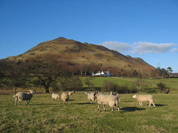
A thirteenth (or number 12a if you prefer) was Whiteside, with Scale Hill woods (Brackenthwaite Hows) to its right. The large house in the centre is Scale Hill, now self catering, but in it's day a classic Lakeland hotel, frequented by many, including the late Joyce Grenfell, and mentioned in the old guide books as a classic Lakeland "must visit" location.
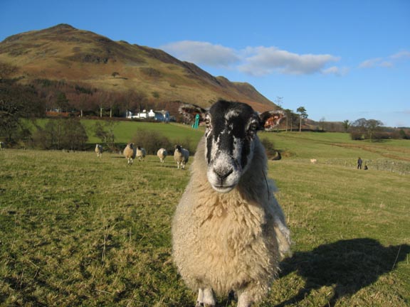
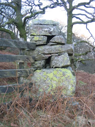
Back to the walk, by kind permission of one of the locals.
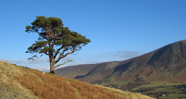
Our route would take us across the second field, past Foulsyke, the white house, and up into the woods at the base of the fell. From there we made our way up to the prominent single Scots Pine half way up the hillside, then left and up the southern end of Low Fell to the viewpoint and then summit a short distance behind.
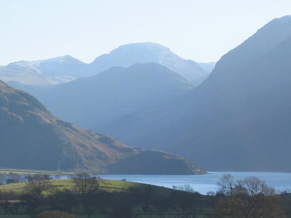
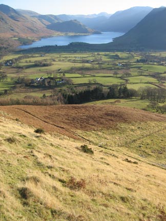
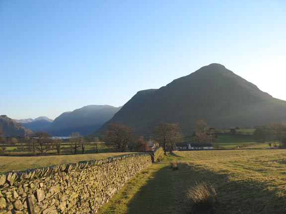
Climbing above the wood onto open ground we get a full view again of Whiteside and Grasmoor, the latter having a white top from recent heavy frosts, possibly even snow from two nights ago.
The Lone Pine joined today by Ann and one of the two dogs.
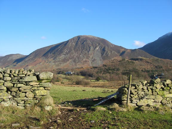
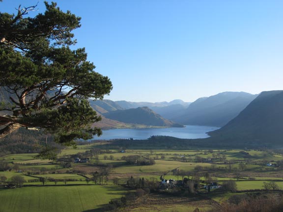
Always a fine viewpoint, Crummock and Buttermere Valley from the tree.
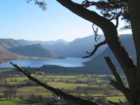
An alternative view framed with some of its older branches.
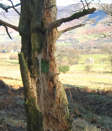
From the tree we contoured left, and cut up on a vague path steeply upward towards the summit.
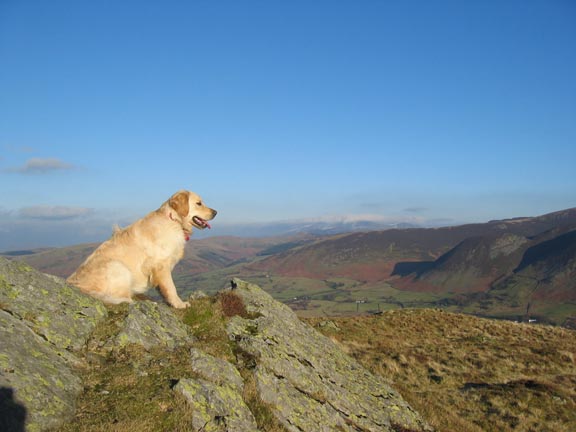
Harry at the viewpoint Our list of ~visible~ Wainwright tops has grown now to 35. Not bad for a 1360 ft top.
50 yards on is the top, with Bethan waiting for us. In the distance is Skiddaw with just a touch of cloud.
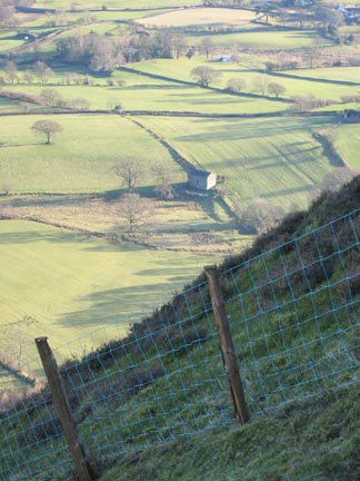
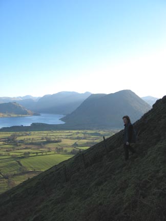
The descent from Low Fell must rate as one of the steepest public footpaths I know. Looking down to the same barn as before, and a second shot with Ann almost silhouetted against Melbreak.
Back though the forest and homeward bound. Foulsyke and Wood end provide a foreground to the classic Loweswater view.
Home and time to put on the kettle before our visitors arrive. |
- - - o o o - - - Technical note: Pictures taken with a Canon IXUS 400 Digital camera. Resized in Photoshop, and built up on a Dreamweaver web builder. This site best viewed with . . . winter sun and excellent viz ! Go to Top # © RmH # Email me here # Go to 2006 Archive
|