Rannerdale and Buttermere - 23rd February 2002
Location: The Buttermere Valley, in the north western part of Cumbria.
Weather: A blustery day with passing snow blizzards
( the lazy kind, that tries to go straight through you, rather than incur the extra distance going round )
Mountain Forecast for Grasmoor was cloud base 2000 feet, whiteout in snow, temp after wind-chill factor adjustment, reportedly -25% on the top.
Our Walk: A two part outing, in view of the weather, with lunch in-between.
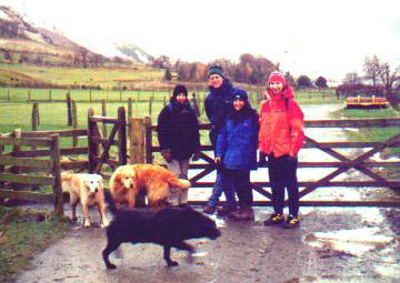
Walking with: Pete, Jill , Ann and the two dogs (Layla & Holly)
Morning Walk
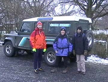
Due to the weather and road conditions, numbers were down, but enthusiasm was still high.

The cloud base was down, and our plans for Grasmoor were put aside, in favour
of a walk up Rannerdale Knotts.
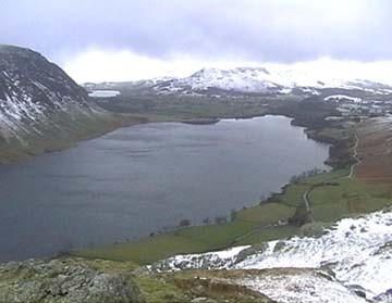
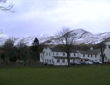
Here the view is of Buttermere Valley, looking southwest, (up) towards the Lake and Haystacks.

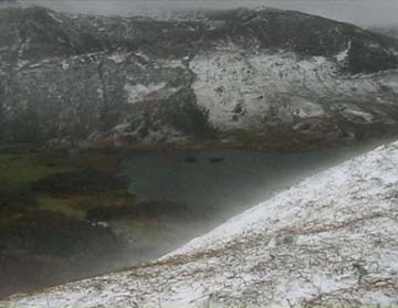
Looking over Great Wood and Crummock, across to Scale Force and Floutern Pass.
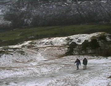
Ann and Jill taking careful steps on the snow covered grass path.
Rannerdale Ridge looking impressive against the backdrop of our first approaching snow storm.
The wind was carrying the surface snow and forming spindrift effects off the side of the hill.
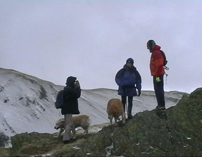
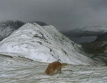
Summit seekers - at the end of the ridge. The sky cleared to show the Whiteless Ridge above us.
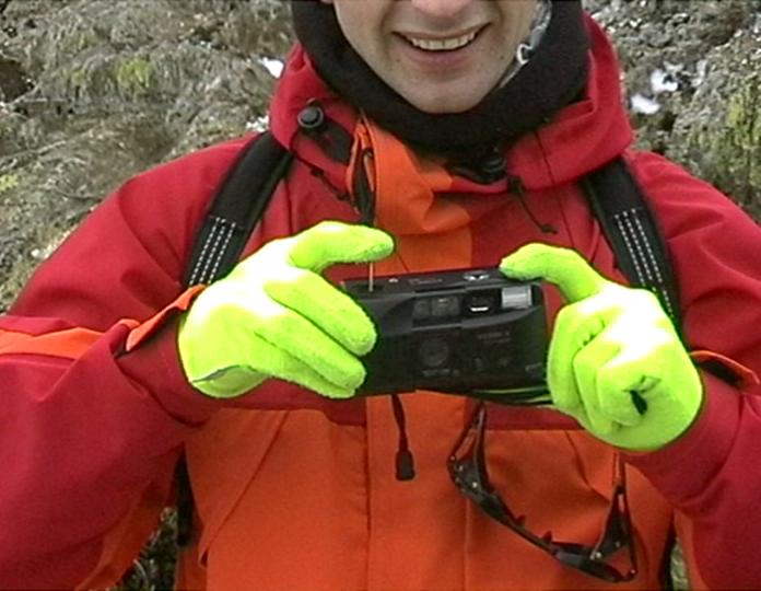
The "Pioneering Spirit" - Jill had lost her camera's shutter button (some months ago)
and so uses a Pioneer match to take photos . . . neat Jill !!!
Here Pete gives it a try, having never experienced anything like this in his whole mountaineering life :o)
Loweswater and Low Fell at the far end of Crummock.
There now follows an internission for lunch at the Bridge.
(return to top).  (Return to Latest)
Our Walk: The second part of a two part outing.
Walking with: Pete, Jill , Ann and the two dogs (Layla & Holly)
Part two - after Lunch
After Lunch at the Bridge Hotel, a second walk was proposed, once round the lake and back.
Here a brief glimpse of Grasmoor above the familiar outline of the Fish.
A low level walk, and a suggestion was made about not taking full mountain gear.
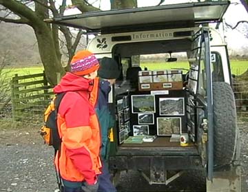
Pete talking to the Trust Warden, about our club, the weather, the path repair photos on display,
or maybe just admiring his Land Rover !!!
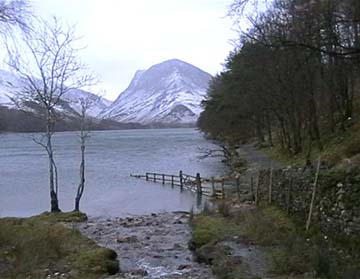
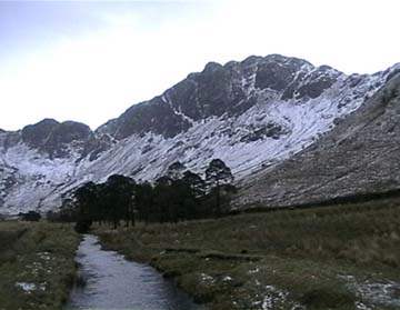
Fleetwith Pike from the bridge at the base of Sour Milk Gill.

The falls below Burtness Comb, the peaks of High Crag and High Stile behind.
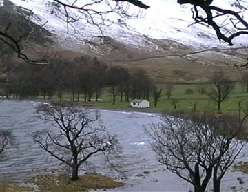
Flooding at the head of the lake, evidence that water levels were high.
The strong north westerly was also forming considerable waves on the lake at this point.
Haystacks, and a hint of blue sky . . . . . . but not for long.
The next snow shower turned to sleet and stayed with us for the rest of the walk.
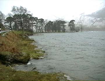
Here the Buttermere Pines with a rough lake, a cold wind., and cold shower.
== 0 ==
We then completed the walk by including the rest of the Lakeside path,
and through the tunnel, which is now fully open following restoration by the Trust.
== 0 ==
Moral of the day : When it snows on higher hills, the snow tends to stay dry . . .
but it can become very wet and very cold sleet at low level.
"Don't leave your leggins behind, even for an after-lunch walk"
== 0 ==
Go to Top . . . Hiley home page . . . Go To Archive 2002
© RmH . . . Email me here